
Bird
Lesser Yellowlegs: where to see it
Tringa flavipes
This bird species is recorded in 15 protected areas of the atlas. Within the atlas countries, it is mostly observed in France, the Netherlands and the United Kingdom (10 countries in all). Records peak from September to November. It has a wingspan of 59–64 cm and weighs 81 g.
Best time to see it: September–November
Records published on GBIF by month (CC0 and CC BY 4.0 licences only), in the atlas countries, all years combined; they also reflect observer activity.
Key facts
- Wingspan
- 59–64 cm Wikidata, after Handbook of the Birds of the World
- Weight
- 81 g Wikidata, after Lislevand et al. 2007
- Clutch size
- 4 eggs Wikidata, after Jetz et al. 2008
- Maximum recorded lifespan
- 5 years Wikidata, after Handbook of the Birds of the World
Distribution
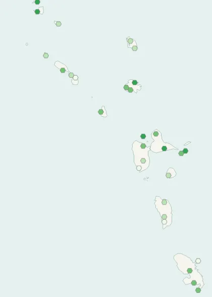
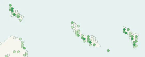
Records published on GBIF (CC0 and CC BY 4.0 licences): the darker the shade, the more records there are; they also reflect observation effort.
Atlas countries where it is recorded
From Wikipedia
The lesser yellowlegs (Tringa flavipes) is a medium-sized shorebird. It breeds in the boreal forest region of North America, and winters from the south of North America, to the far south of South America.
Source: Wikipedia, article “Lesser yellowlegs” (version of September 25, 2026) · history and authors · licence CC BY-SA 4.0
Protected areas where it is recorded
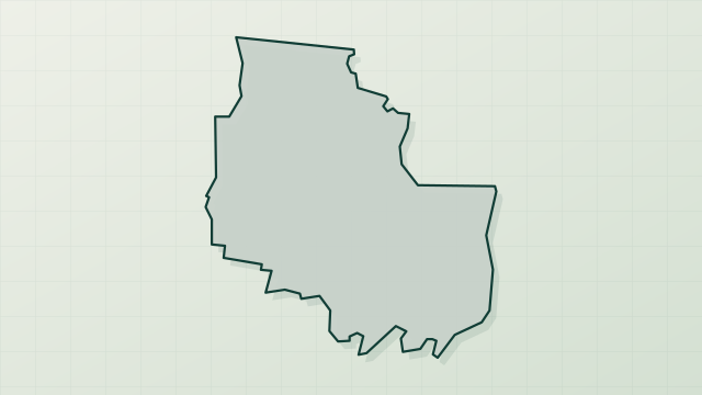
2,339 records

2,319 records
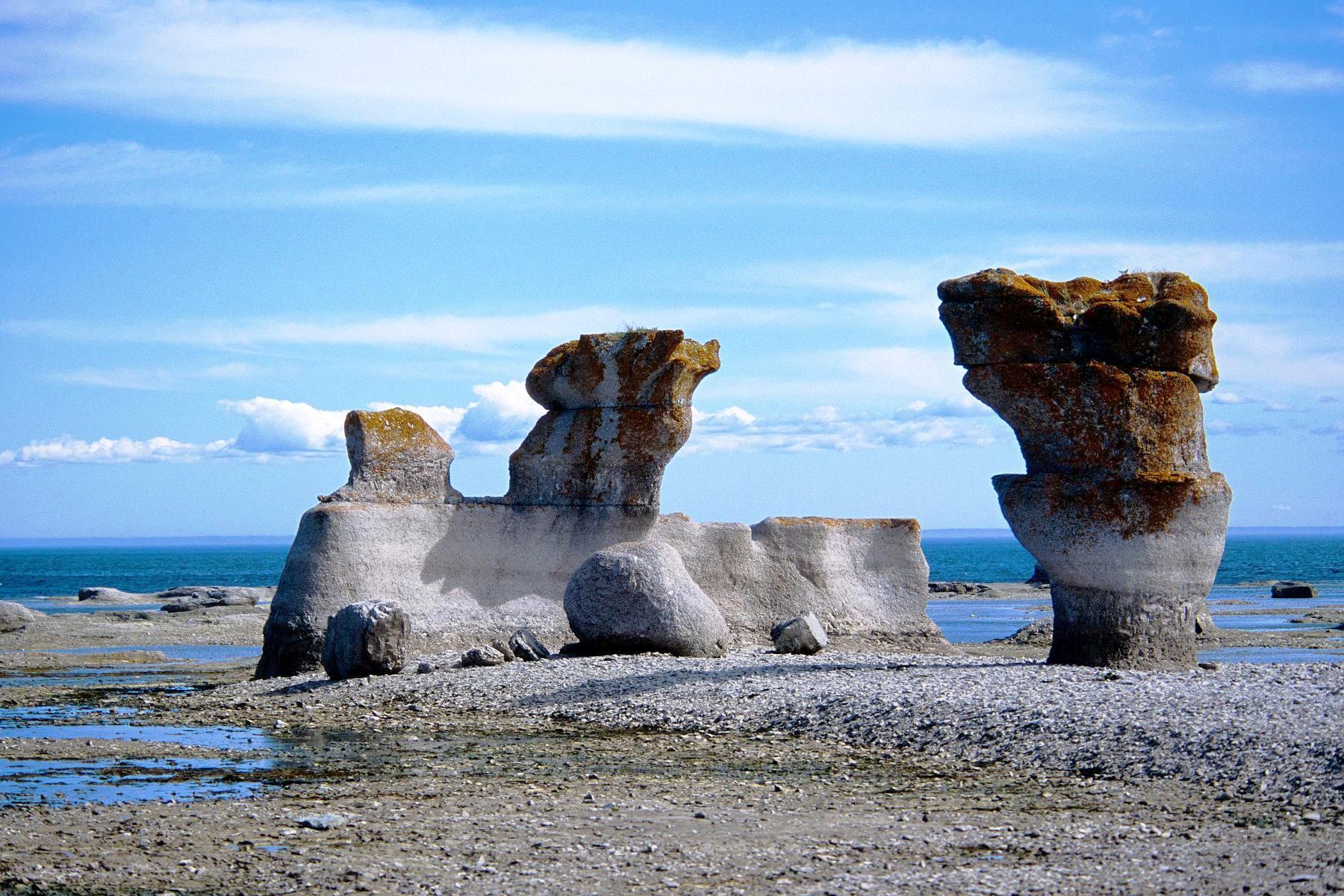
1,952 records

1,589 records
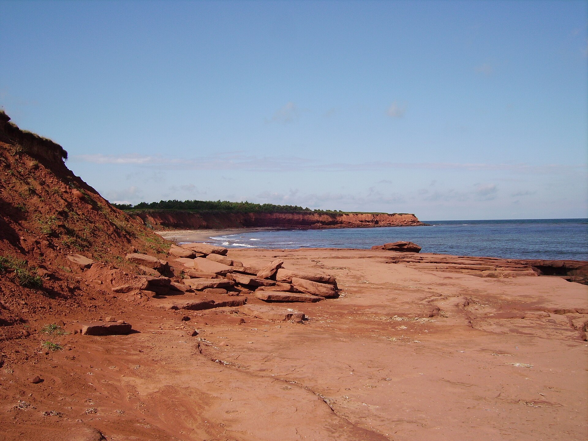
1,524 records

606 records

574 records

448 records

336 records
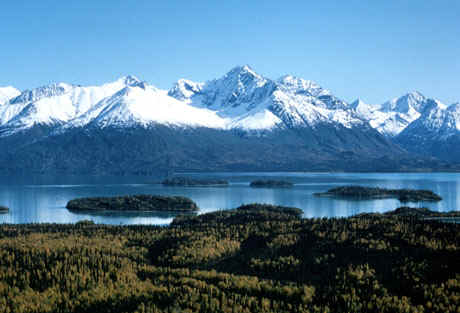
301 records
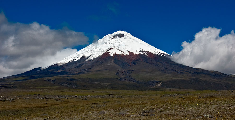
223 records
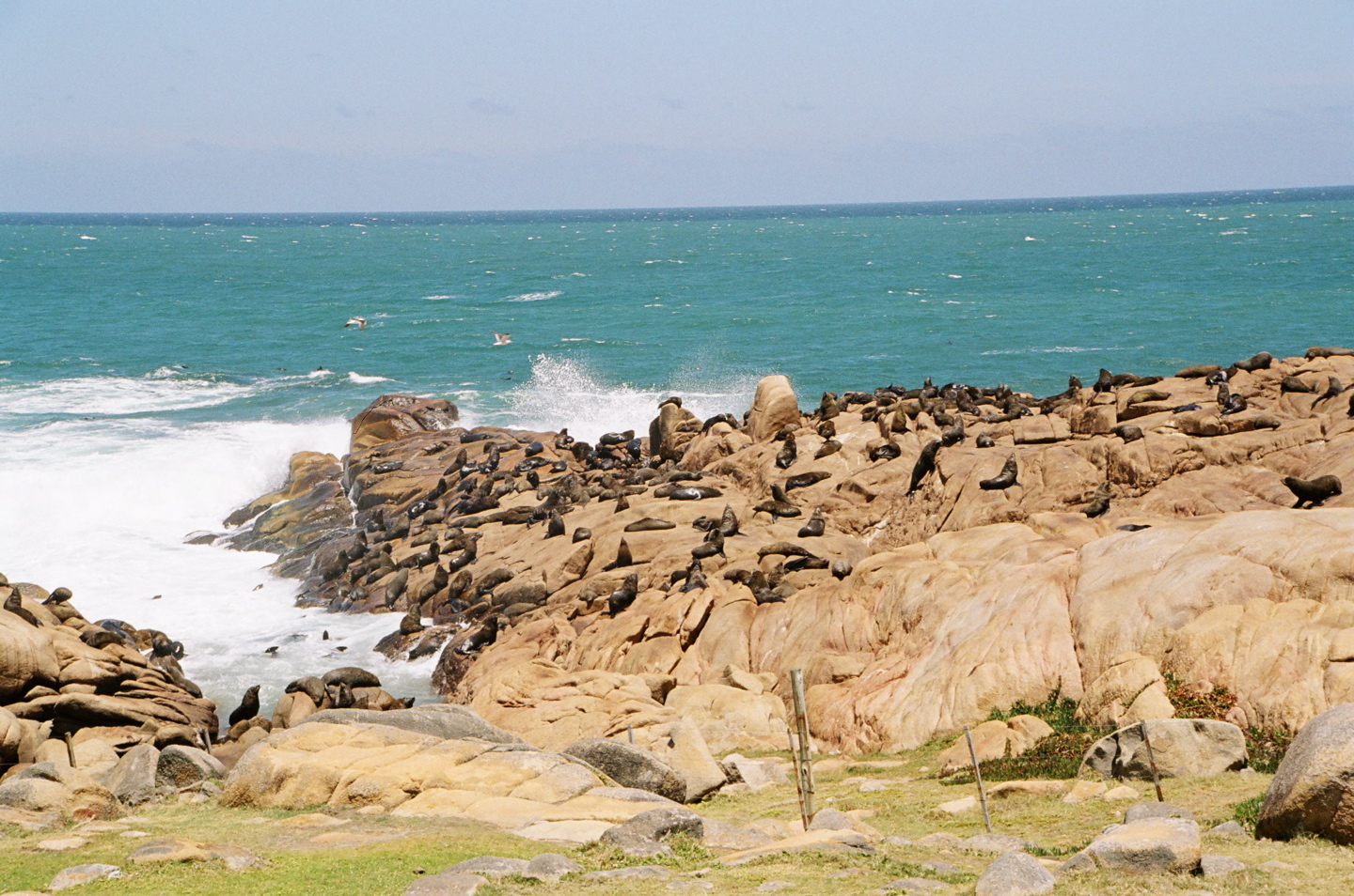
220 records

55 records
19 records
7 records
Other species to discover

Sources and credits
- Presence: most-recorded species of each place on GBIF and species of Community interest in the Natura 2000 forms (EEA, CC-BY 4.0); absence from the list does not mean the species is absent.
- Common names: Wikidata (CC0) and GBIF.
- Photos and sounds: Wikimedia Commons, author and licence given for each file.
- Classification: GBIF Backbone Taxonomy (GBIF Secretariat), CC BY 4.0, doi:10.15468/39omei.
- Countries, elevations, months and maps: GBIF.org, CC0 or CC BY 4.0 occurrences only, accessed October 23, 2026, GBIF.org.
- Base map: Natural Earth (public domain).
- Excerpt: Wikipedia, CC BY-SA 4.0 (full credit below the excerpt).
- Key facts: Wikidata (CC0), with the references cited under each value.