New Zealand · Terrestrial
Abel Tasman National Park
National park of 22,530 hectares in New Zealand, established in 1942.
Overview
National park of 22,530 hectares in New Zealand, established in 1942.
Abel Tasman National Park is located in New Zealand (Oceania). It is a predominantly terrestrial area. Established in 1942, it covers about 22,530 hectares.
In our collections
Frequently asked questions
Where is Abel Tasman National Park?
In New Zealand (Oceania). Representative point: 40.9000° S, 172.9715° E.
How large is Abel Tasman National Park?
About 22,530 hectares (225 km²). It is the 13th largest of the 13 national parks in New Zealand covered by Parkavela.
When was Abel Tasman National Park established?
In 1942.
What habitats and landscapes does Abel Tasman National Park include?
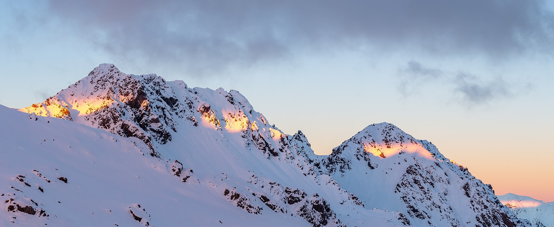
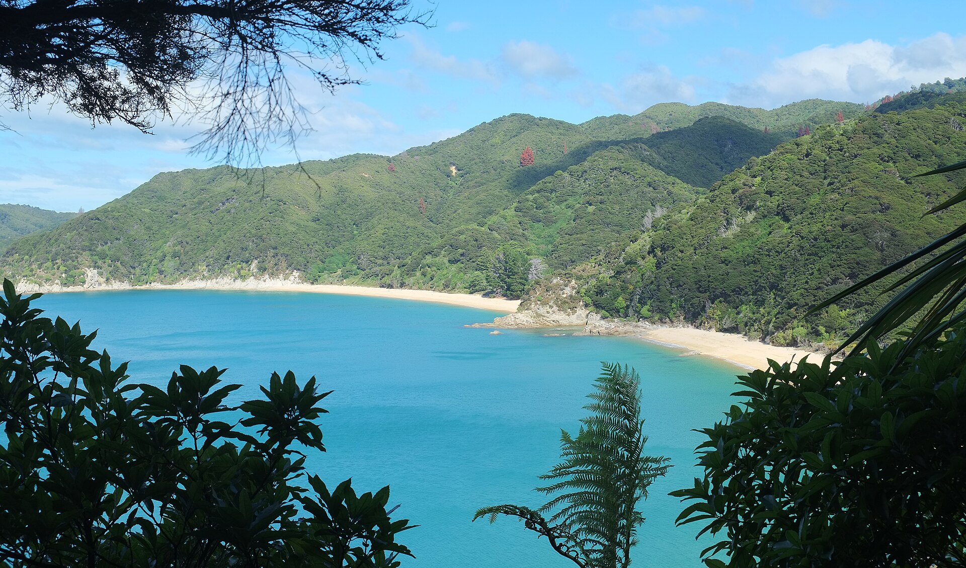
A terrestrial area, with forests, mountains and coasts.
What is the highest point of Abel Tasman National Park?
Mount Evans, at 1,156 m (OpenStreetMap).
What are the main summits of Abel Tasman National Park?
Mount Evans (1,156 m), Murray Peak (1,101 m), Pisgah Hill (1,096 m), Mount Richards (1,047 m) and Tableland (946 m) (OpenStreetMap).
When is the best time to visit Abel Tasman National Park?
Best time to visit: from November to April, with average temperatures of 11 to 15 °C and moderate rainfall.
What is there to see in Abel Tasman National Park?
5 waterfalls, 1 lake or pond and 1 cave, including Cascade Falls, Cleopatras Pool, Harwoods Hole and Jenkins Falls (Wikidata).
What is the nearest large city to Abel Tasman National Park?
Nearest towns of over 50,000 people, as the crow flies: Nelson (37 km). Nearest airport: Nelson (NSN), about 37 km away.
Where can I get visitor information on site?
Totaranui Office and Abel Tasman Centre.
Are there waymarked hiking trails in Abel Tasman National Park?
Yes. Waymarked hiking routes listed in OpenStreetMap: 2, including Gibbs Hill. The “GW04 · GW - 04 Abel Tasman Coast Track” route runs for about 51 km through the site, with some 490 m of ascent on its longest section.
Which species can be seen in Abel Tasman National Park?
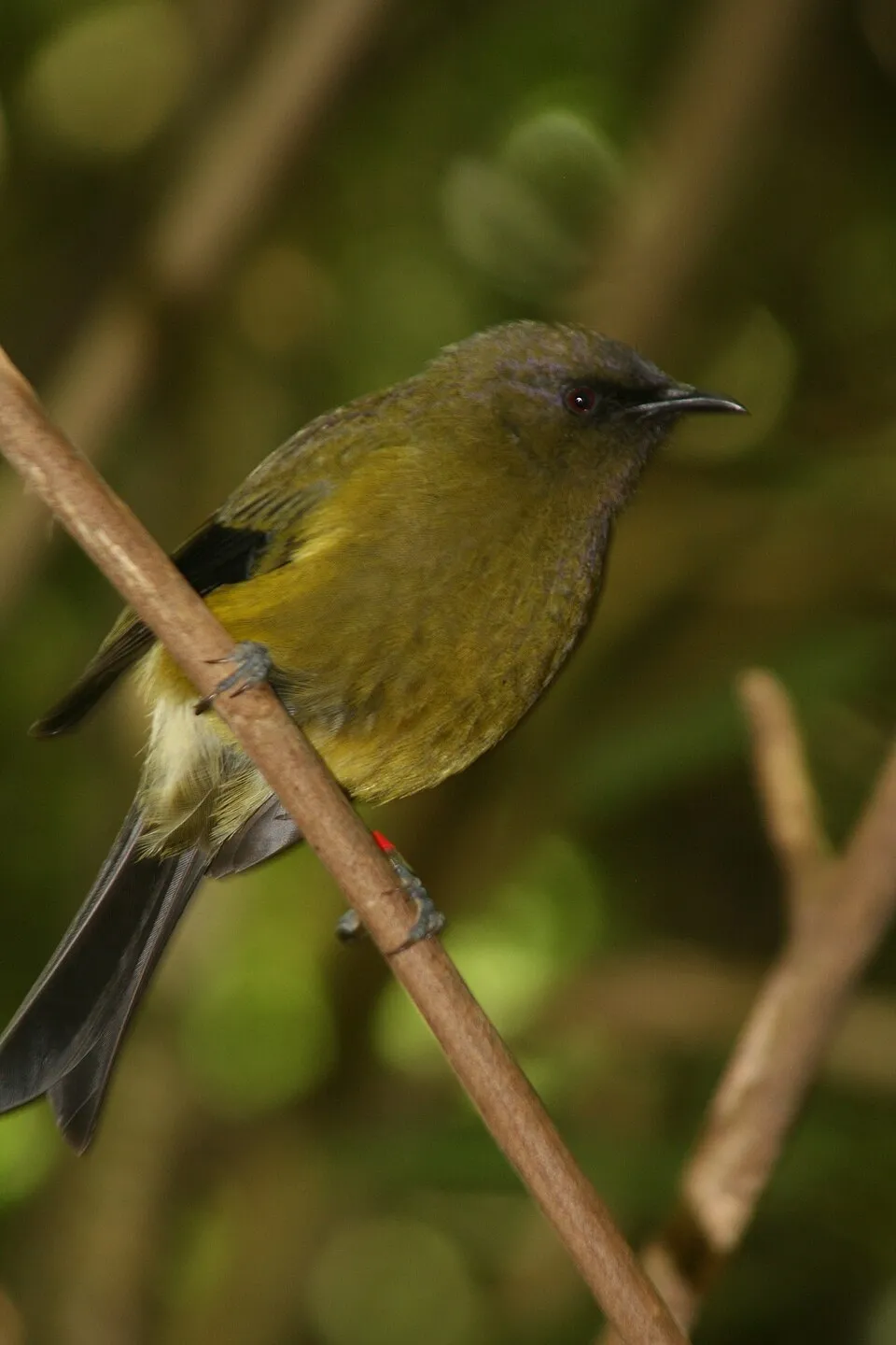
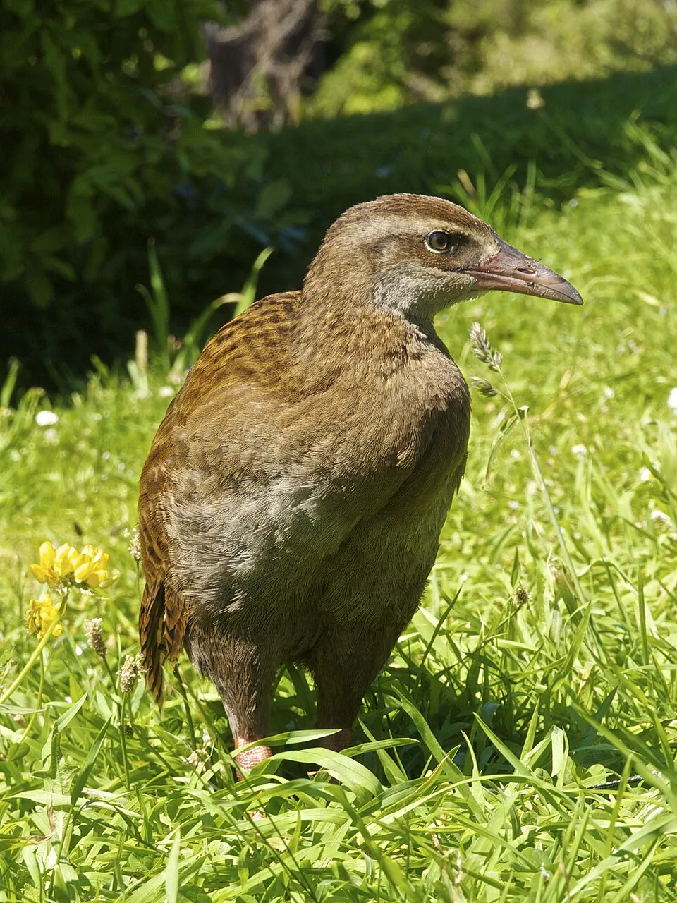
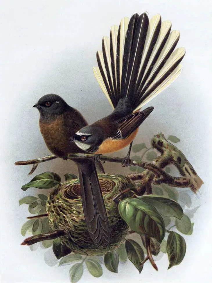
Among the species most often recorded on GBIF are Anthornis melanura (New Zealand Bellbird), Gallirallus australis (Weka), Zosterops lateralis (Silvereye) and Rhipidura fuliginosa (New Zealand Fantail).
© OpenStreetMap
Download the boundary: GeoJSON · GPX Boundary © OpenStreetMap contributors (ODbL).
Geography
The representative point of the site lies at around 458 m above sea level. Over the 1996–2025 period, the mean annual temperature is about 10.5 °C and total precipitation reaches roughly 1,616 mm per year. The warmest month is usually February, the coolest July, and the wettest June.
Area
- Area
- 22,530 ha
- Elevation
- 458 m
- Median elevation
- 431 m
- Mean slope
- 20°
- Coordinates
- -40.9, 172.9715
Terrain: Mapzen Terrain Tiles (SRTM, USGS)
Elevation bands
- below 500 m 57%
- 500–1,000 m 41%
- 1,000–1,500 m 3%
share of the site in each elevation band (smoothed terrain model: summits are rounded off) · Terrain: Mapzen Terrain Tiles (SRTM, USGS)
Main summits
- Mount Evans1,156 m
- Murray Peak1,101 m
- Pisgah Hill1,096 m
- Mount Richards1,047 m
- Tableland946 m
- Kurī625 m
- Rātā Hill582 m
- Basin Point519 m
- George Hill489 m
- Tonga Hill458 m
Data © OpenStreetMap contributors (ODbL)
Climate
● Mean temperature (°C) · ▮ Precipitation (mm)
Source: Copernicus ERA5-Land (C3S, doi:10.24381/cds.68d2bb30), monthly averages 1996–2025 interpolated to the representative point, temperatures adjusted for elevation.
Contains modified Copernicus Climate Change Service information 2026. Neither the European Commission nor ECMWF is responsible for any use that may be made of the Copernicus information or data it contains.
Snow cover measured by satellite
J
F
M
A
M
J
J
A
S
O
N
D
average share of the site under snow · snowiest parts · ≈ 10 days a year
Snow cover: MODIS/Terra MOD10CM v61 (Hall & Riggs, 2021, NASA NSIDC DAAC, doi:10.5067/MODIS/MOD10CM.061), imagery from NASA GIBS (ESDIS); 2015–2025 average, grid of about 5 km.
Natural habitats
According to the global MODIS land cover (NASA, 2024), the site is mainly made up of forests (95%). It is mostly dense evergreen broadleaved forest. The site borders the coast. Elevation ranges from sea level to 1,156 m (highest point: Mount Evans). Median elevation is 431 m, and 43% of the site lies above 500 m (SRTM elevation model). The terrain is steep: 15% of slopes exceed 30° (mean slope 20°).
Biodiversity
Based on occurrences aggregated by GBIF, several species are regularly recorded within the site. Among the most frequent are Anthornis melanura (New Zealand Bellbird), Gallirallus australis (Weka), Zosterops lateralis (Silvereye) and Rhipidura fuliginosa (New Zealand Fantail). The full list of documented taxa is shown below.
Species to look out for



Observed species
Occurrences documented via GBIF; they are neither an exhaustive inventory nor proof of current presence.
- New Zealand Bellbird · Anthornis melanura · 1186
- Weka · Gallirallus australis · 1067
- Silvereye · Zosterops lateralis · 985
- New Zealand Fantail · Rhipidura fuliginosa · 914
- Grey Gerygone · Gerygone igata · 784
- Tūī · Prosthemadera novaeseelandiae · 604
- Eurasian Chaffinch · Fringilla coelebs · 568
- Variable Oystercatcher · Haematopus unicolor · 549
- Kelp Gull · Larus dominicanus · 483
- Tomtit · Petroica macrocephala · 481
- Silver Gull · Chroicocephalus novaehollandiae · 435
- Common Blackbird · Turdus merula · 417
+18 more species
- Welcome Swallow · Hirundo neoxena · 411
- Australasian Swamphen · Porphyrio melanotus · 339
- Kererū · Hemiphaga novaeseelandiae · 323
- Song Thrush · Turdus philomelos · 295
- Australian Pied Cormorant · Phalacrocorax varius · 285
- South Island robin · Petroica australis · 271
- House Sparrow · Passer domesticus · 261
- Paradise Shelduck · Tadorna variegata · 221
- White-faced Heron · Egretta novaehollandiae · 213
- South Island Oystercatcher · Haematopus finschi · 198
- California Quail · Callipepla californica · 194
- Australasian Gannet · Morus serrator · 188
- Mallard · Anas platyrhynchos · 162
- Spotted Shag · Phalacrocorax punctatus · 151
- Sacred Kingfisher · Todiramphus sanctus · 150
- New Zealand Fernbird · Poodytes punctatus · 140
- Kākā · Nestor meridionalis · 136
- Little Pied Cormorant · Microcarbo melanoleucos · 131
Records: GBIF.org (CC-BY). Names: Wikidata (CC0), GBIF. Photos: Wikimedia Commons.
Conservation challenges
The primary purpose of the site is to preserve its natural habitats and the biodiversity they support. The species recorded (Biodiversity tab) reflect its ecological value. Its status as a national park sets the regulatory framework for its protection.
According to Global Forest Change data (University of Maryland, Global Forest Watch), about 263 ha of tree cover were lost within the boundary between 2001 and 2023 (1% of its area), peaking in 2004 and 2014. These losses include logging, storms and fires, and do not account for regrowth. At night, the area gives off virtually no artificial light detectable from space (NASA VIIRS Black Marble composite, 2016). Since 2000, 26 invasive alien species have been recorded within the site (GBIF observations). Among them: Hakea salicifolia (Finger hakea), Leycesteria formosa (Himalayan honeysuckle) and Erica lusitanica (Portuguese Heath).
Pressure indicators
Tree cover lost
263 ha
2001–2023 · 1% of the area
20012023
Light at night
0%
of the area gives off artificial light visible from space
DarkLit
Invasive alien species
26
recorded since 2000
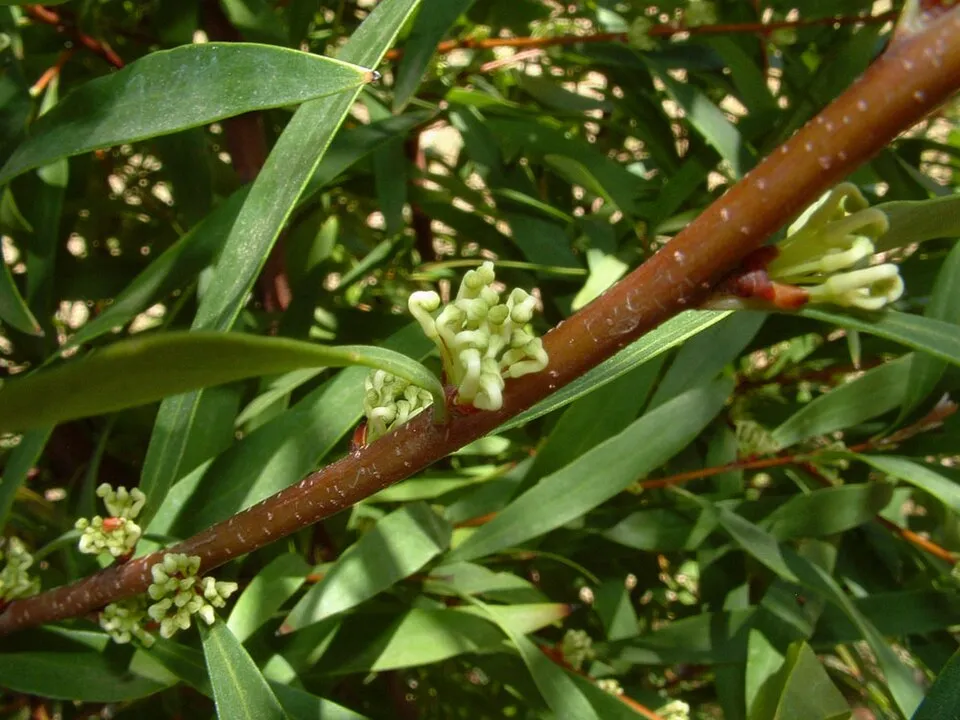 Finger hakea
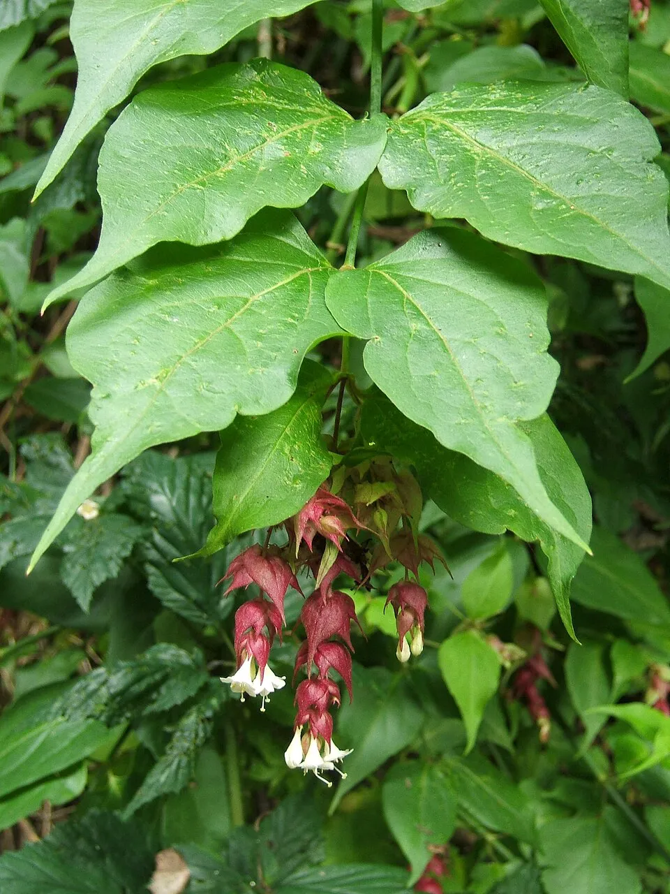 Himalayan honeysuckle
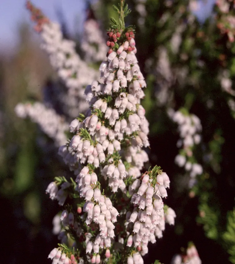 Portuguese Heath
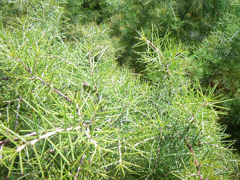 Needle Bush
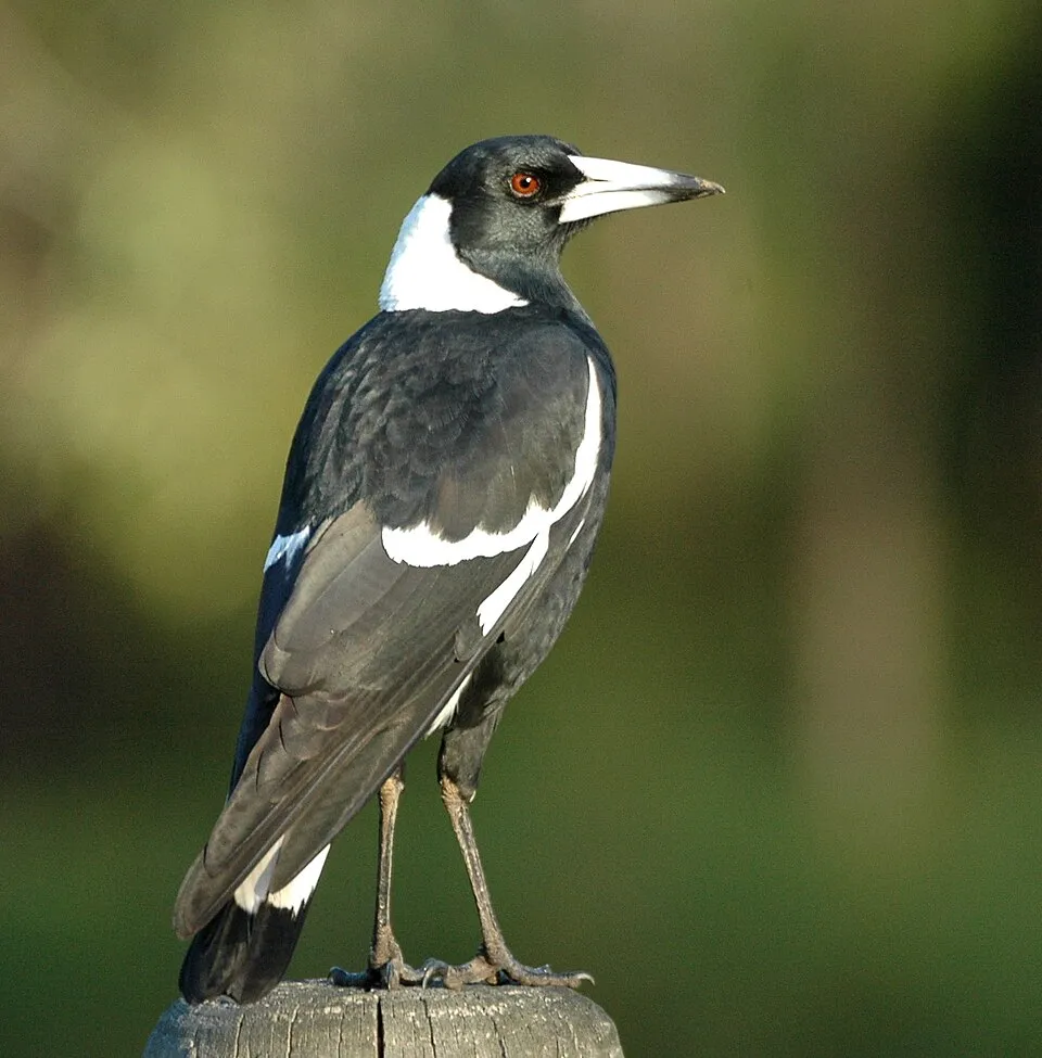 Australian Magpie
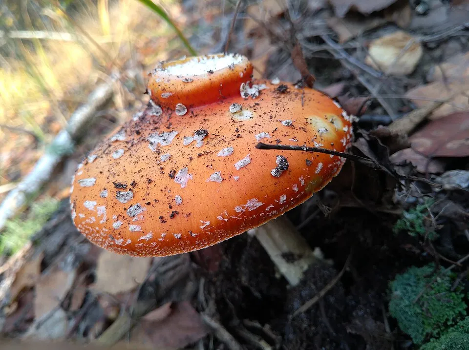 Fly agaric
 Common wasp
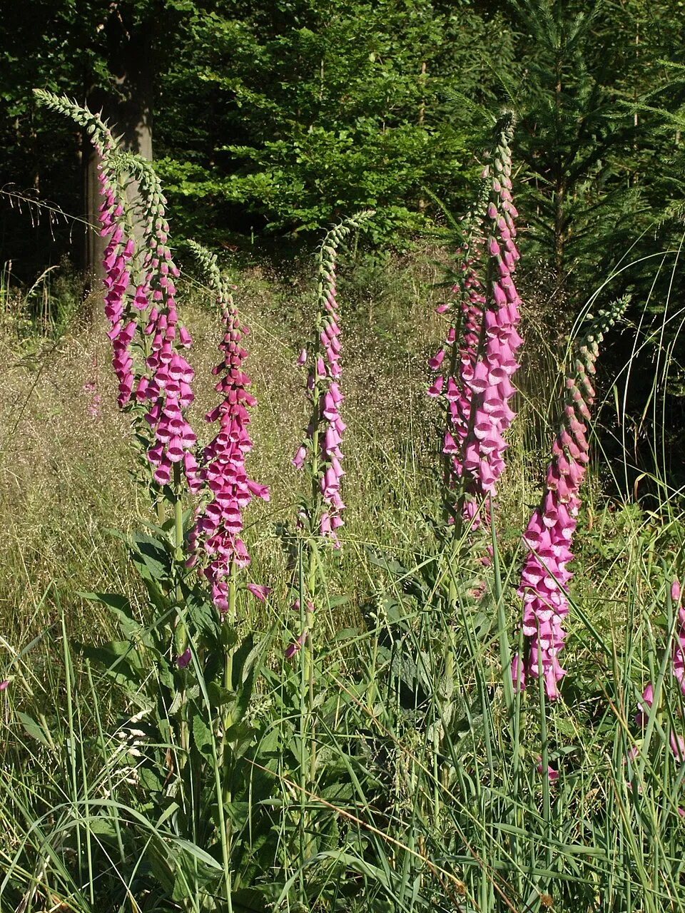 Foxglove
Photos: Finger hakea © Bidgee · CC BY 3.0; Himalayan honeysuckle © MPF · CC BY 2.5; Portuguese Heath © Gordon Leppig & Andrea J. Pickart · Public domain; Needle Bush © Edoarado · CC BY-SA 3.0; Australian Magpie © Aviceda · CC BY-SA 3.0; Fly agaric © K. Chaikovska (Kate Chkv) · CC BY 4.0; Common wasp © soebe · CC BY-SA 3.0; Foxglove © Bernd Haynold · CC BY-SA 3.0
Sources: Global Forest Change (Hansen et al., University of Maryland, via Global Forest Watch, CC-BY 4.0); EFFIS, European Commission / Copernicus; NASA Black Marble 2016 (public domain); CORINE Land Cover 2018 (Copernicus) or MODIS.
Invasive alien species: Global Register of Introduced and Invasive Species (ISSG, CC BY 4.0); Union list, Regulation (EU) 1143/2014 (INBO, CC0); GBIF.org records (CC0 / CC BY 4.0), at least 2 per species.
Practical information
Cities and airport
- Nelson
37 km as the crow flies - Airport: Nelson (NSN)
37 km as the crow flies
Visitor information
- Totaranui Office
< 1 km from the site boundary - Abel Tasman Centre
2 km from the site boundary
Parking
4 public car parks listed within the site
Wainui CarparkAwaroa Carpark
Things to see
5 waterfalls · 1 lake or pond · 1 cave
- Cascade Falls
waterfall - Cleopatras Pool
lake or pond - Harwoods Hole
cave - Jenkins Falls
waterfall - Bark Bay Falls
waterfall
Hiking
2 waymarked routes listed, including:
Gibbs Hill
Trail difficulty
- T1 · easy hiking · 100% · 70 km
70 km graded out of 152 km of paths
SAC scale (T1–T6) © OpenStreetMap contributors (ODbL): indicative only, check with the park.
Data © OpenStreetMap contributors (ODbL) · Wikidata (CC0)
Waymarked hiking routes
GW04 GW - 04 Abel Tasman Coast Track
51.2 km within the site ↗ 488 m↘ 484 m 0–196 m
Tracks © OpenStreetMap contributors (ODbL), clipped to the boundary; elevation gain and profiles computed on the longest section from Mapzen Terrain Tiles (≈ 30 m), indicative only.
Access and visiting
Nearest towns of over 50,000 people, as the crow flies: Nelson (37 km). Nearest airport: Nelson (NSN), about 37 km away. Visitor information on site: Totaranui Office and Abel Tasman Centre. Public car parks listed within the site: 4, including Wainui Carpark and Awaroa Carpark. Waymarked hiking routes listed in OpenStreetMap: 2, including Gibbs Hill. Of the roughly 70 km of paths with a difficulty grade in OpenStreetMap, 100% are easy hiking (T1). This is indicative only: check with the park. To see: 5 waterfalls, 1 lake or pond and 1 cave, including Cascade Falls, Cleopatras Pool, Harwoods Hole and Jenkins Falls. To plan a visit (access, opening periods, visitor rules), it is best to consult the official information from the managing body and the official website listed in this page's sources.
Source: OpenStreetMap (ODbL), Wikidata (CC0), November 2026.
When to visit
Best time to visit: from November to April, with average temperatures of 11 to 15 °C and moderate rainfall. These averages apply to the site's representative point (458 m); higher up it is markedly cooler. Snow only makes brief appearances in winter (about 10 days a year on average, MODIS satellites 2015–2025). Day length ranges from about 9 h 15 min in June to 15 h 06 min in December. Wildlife records published on GBIF peak for birds (from November to February), plants (January), butterflies and moths (January) and mammals (October). These peaks also reflect when observers are most active.
Source: Copernicus ERA5-Land (C3S), monthly averages 1996–2025 at the representative point, temperatures adjusted for elevation.
Contains modified Copernicus Climate Change Service information 2026. Neither the European Commission nor ECMWF is responsible for any use that may be made of the Copernicus information or data it contains.
Wildlife records calendar
JFMAMJJASOND
Birds
Plants
Butterflies & moths
Mammals
Monthly records published on GBIF (CC-BY), relative to the busiest month; also reflects observer activity.
Gallery
© Pseudopanax · Public domain
© David Broad · CC BY 3.0
© Phillip Capper from Wellington, New Zealand · CC BY 2.0
© Velela · CC BY-SA 2.5
© Krzysztof Golik · CC BY-SA 4.0
© B D from Vancouver area · CC BY 2.0
Sources and licences
- Wikidata: Q318357
- OpenStreetMap: relation 8497759
- Wikipedia: en.wikipedia.org/wiki/Abel_Tasman_National_Park
- WDPA: 817
References
- cds.climate.copernicus.eu: climate · CC-BY-4.0
- registry.opendata.aws: elevation of the reference point, detailed relief · PD
- lpdaac.usgs.gov: land cover · PD
- naturalearthdata.com: sea share · PD
- wikidata.org: official area, highest point, establishment date, protected heritage, nearby cities and airport, access and peaks, lake depths, places to see · CC0-1.0
- en.eurovelo.com: EuroVelo cycle routes · ODbL-1.0
- cycling.waymarkedtrails.org: cycle routes · ODbL-1.0
- opentopodata.org: elevations · PD
- globalforestwatch.org: tree cover loss · CC-BY-4.0
- gbif.org: seasonality of sightings, invasive alien species, observed species · CC-BY-4.0
- openstreetmap.org: official name, access and peaks, trail difficulty, wheelchair access · ODbL-1.0
- earthobservatory.nasa.gov: night light · PD
- hiking.waymarkedtrails.org: route difficulty · ODbL-1.0
- nsidc.org: snow cover · PD
- wikidata.org: Wikipedia article · CC-BY-SA-4.0
Data © OpenStreetMap contributors (ODbL), Wikidata (CC0) and the sources cited.