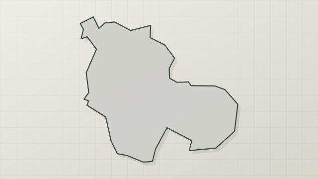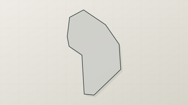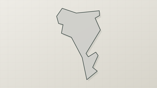
Rwanda · Terrestrial
Akagera National Park
National park of 110,000 hectares in Rwanda, established in 1934.
Overview
National park of 110,000 hectares in Rwanda, established in 1934.
Akagera National Park is located in Rwanda (Africa). It is a predominantly terrestrial area. Established in 1934, it covers about 110,000 hectares.
Protections and designations
Other designations
Protected as a national park. It is covered by an additional protection designation.
Frequently asked questions
Where is Akagera National Park?
In Rwanda (Africa). Representative point: 1.6333° S, 30.7833° E.
How large is Akagera National Park?
About 110,000 hectares (1,100 km²). It is the largest of the 3 national parks in Rwanda covered by Parkavela.
When was Akagera National Park established?
In 1934.
What habitats and landscapes does Akagera National Park include?
A terrestrial area.
When is the best time to visit Akagera National Park?
Best time to visit: the dry season, from June to August, with less than 40 mm of rain per month.
What is the nearest large city to Akagera National Park?
Nearest towns of over 50,000 people, as the crow flies: Kigali (82 km). Nearest airport: Kigali (KGL), about 81 km away.
Which species can be seen in Akagera National Park?
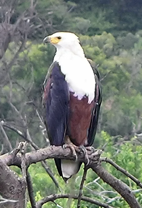
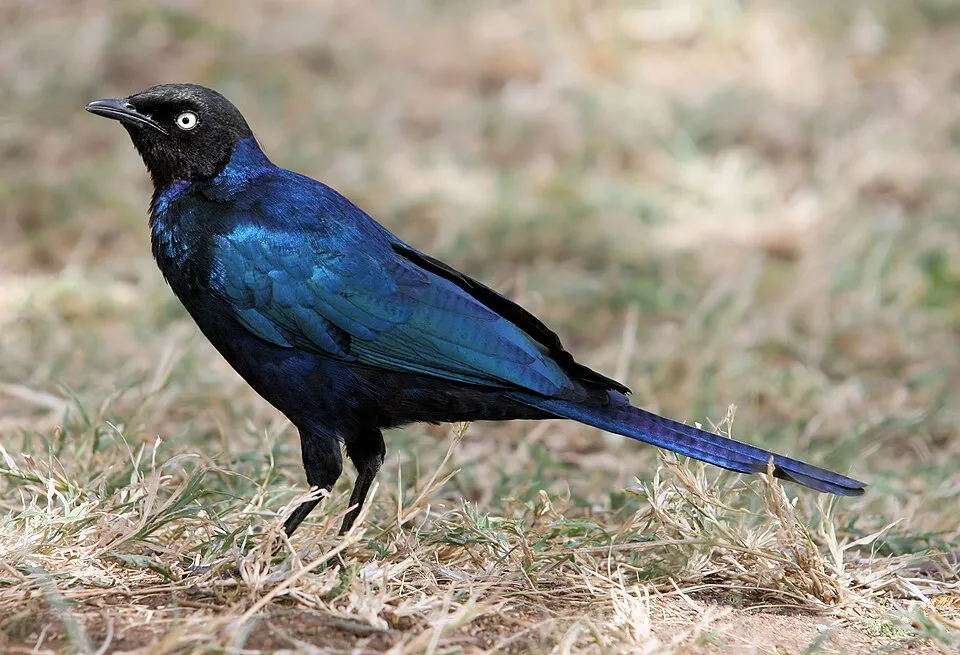
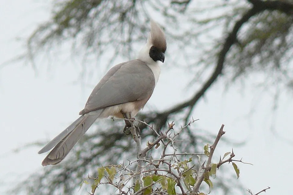
Among the species most often recorded on GBIF are Haliaeetus vocifer (African Fish Eagle), Lamprotornis purpuroptera (Rüppell's Starling), Corythaixoides personatus (Bare-faced Go-away-bird) and Vanellus senegallus (African Wattled Lapwing).
What is the official website of Akagera National Park?
© OpenStreetMap
Download the boundary: GeoJSON · GPX Boundary © OpenStreetMap contributors (ODbL).
Geography
The representative point of the site lies at around 1,287 m above sea level. Over the 1996–2025 period, the mean annual temperature is about 22.0 °C and total precipitation reaches roughly 798 mm per year. The warmest month is usually February, the coolest November, and the wettest April.
Area
- Area
- 110,000 ha
- Elevation
- 1,287 m
- Coordinates
- -1.6333, 30.7833
Climate
● Mean temperature (°C) · ▮ Precipitation (mm)
Source: Copernicus ERA5-Land (C3S, doi:10.24381/cds.68d2bb30), monthly averages 1996–2025 interpolated to the representative point, temperatures adjusted for elevation.
Contains modified Copernicus Climate Change Service information 2026. Neither the European Commission nor ECMWF is responsible for any use that may be made of the Copernicus information or data it contains.
Biodiversity
Based on occurrences aggregated by GBIF, several species are regularly recorded within the site. Among the most frequent are Haliaeetus vocifer (African Fish Eagle), Lamprotornis purpuroptera (Rüppell's Starling), Corythaixoides personatus (Bare-faced Go-away-bird) and Vanellus senegallus (African Wattled Lapwing). The full list of documented taxa is shown below.
Species to look out for


Observed species
Occurrences documented via GBIF; they are neither an exhaustive inventory nor proof of current presence.
- African Fish Eagle · Haliaeetus vocifer · 84
- Rüppell's Starling · Lamprotornis purpuroptera · 78
- Bare-faced Go-away-bird · Corythaixoides personatus · 66
- African Wattled Lapwing · Vanellus senegallus · 65
- Ring-necked Dove · Streptopelia capicola · 64
- Pied Kingfisher · Ceryle rudis · 63
- Red-necked Spurfowl · Pternistis afer · 62
- African Darter · Anhinga rufa · 62
- Spur-winged Lapwing · Vanellus spinosus · 61
- African Jacana · Actophilornis africanus · 57
- Speckled Mousebird · Colius striatus · 57
- Helmeted Guineafowl · Numida meleagris · 55
+18 more species
- Spur-winged Goose · Plectropterus gambensis · 54
- Black-headed Gonolek · Laniarius erythrogaster · 53
- Fork-tailed Drongo · Dicrurus adsimilis · 53
- Common Bulbul · Pycnonotus barbatus · 51
- Hamerkop · Scopus umbretta · 51
- Egyptian Goose · Alopochen aegyptiaca · 50
- Little Egret · Egretta garzetta · 49
- Emerald-spotted Wood Dove · Turtur chalcospilos · 48
- Lilac-breasted Roller · Coracias caudatus · 45
- Red-cheeked Cordon-bleu · Uraeginthus bengalus · 44
- Yellow-throated Longclaw · Macronyx croceus · 44
- Reed Cormorant · Microcarbo africanus · 44
- Great Egret · Ardea alba · 44
- Western Cattle Egret · Bubulcus ibis · 42
- African Black Crake · Amaurornis flavirostra · 40
- Water Thick-knee · Burhinus vermiculatus · 40
- Sooty Chat · Myrmecocichla nigra · 40
- Village Weaver · Ploceus cucullatus · 39
Records: GBIF.org (CC-BY). Names: Wikidata (CC0), GBIF. Photos: Wikimedia Commons.
Conservation challenges
The primary purpose of the site is to preserve its natural habitats and the biodiversity they support. The species recorded (Biodiversity tab) reflect its ecological value. The designations it holds frame its management and the control of land use.
Practical information
Cities and airport
- Kigali
82 km as the crow flies - Airport: Kigali (KGL)
81 km as the crow flies
Data © OpenStreetMap contributors (ODbL) · Wikidata (CC0)
Access and visiting
Nearest towns of over 50,000 people, as the crow flies: Kigali (82 km). Nearest airport: Kigali (KGL), about 81 km away. To plan a visit (access, opening periods, visitor rules), it is best to consult the official information from the managing body and the official website listed in this page's sources.
Source: OpenStreetMap (ODbL), Wikidata (CC0), November 2026.
When to visit
Best time to visit: the dry season, from June to August, with less than 40 mm of rain per month. Precipitation peaks in April and in November (up to 120 mm per month).
Source: Copernicus ERA5-Land (C3S), monthly averages 1996–2025 at the representative point, temperatures adjusted for elevation.
Contains modified Copernicus Climate Change Service information 2026. Neither the European Commission nor ECMWF is responsible for any use that may be made of the Copernicus information or data it contains.
Gallery
© daSupremo · CC BY-SA 4.0
© Louis Dewame · CC BY 3.0
© Rodrigue250 · CC BY-SA 4.0
© Alex shema · CC BY-SA 4.0
© François Terrier · CC BY 2.0
© Jesse Allen, using NASA’s Aqua satellite's Moderate Resolution Imaging Spectroradiometer (MODIS) for the MODIS Rapid Response Team, NASA-GSFC · Public domain
Sources and licences
- Wikidata: Q116715
- OpenStreetMap: relation 1708935
- Official website: https://www.akagerasafari.com
- Wikipedia: en.wikipedia.org/wiki/Akagera_National_Park
- WDPA: 862
References
- cds.climate.copernicus.eu: climate · CC-BY-4.0
- registry.opendata.aws: elevation of the reference point · PD
- land.copernicus.eu: land cover · COPERNICUS
- naturalearthdata.com: sea share · PD
- wikidata.org: official area, establishment date, nearby cities and airport, official website · CC0-1.0
- opentopodata.org: elevations · PD
- gbif.org: invasive alien species, observed species · CC-BY-4.0
- openstreetmap.org: official name, access and peaks · ODbL-1.0
- nsidc.org: snow cover · PD
- wikidata.org: Wikipedia article · CC-BY-SA-4.0
Data © OpenStreetMap contributors (ODbL), Wikidata (CC0) and the sources cited.