New Zealand · Terrestrial
Arthur's Pass National Park
National park of 118,470 hectares in New Zealand, established in 1929.
Overview
National park of 118,470 hectares in New Zealand, established in 1929.
Arthur's Pass National Park is located in New Zealand (Oceania). It is a predominantly terrestrial area. Established in 1929, it covers about 118,470 hectares. The site is managed by Department of Conservation.
In our collections
Frequently asked questions
Where is Arthur's Pass National Park?
In New Zealand (Oceania). Representative point: 42.8897° S, 171.7214° E.
How large is Arthur's Pass National Park?
About 118,470 hectares (1,185 km²). It is the 6th largest of the 13 national parks in New Zealand covered by Parkavela.
When was Arthur's Pass National Park established?
In 1929.
What habitats and landscapes does Arthur's Pass National Park include?
A terrestrial area, with forests and mountains.
What is the highest point of Arthur's Pass National Park?
Mount Murchison, at 2,408 m (OpenStreetMap).
What are the main summits of Arthur's Pass National Park?
Mount Murchison (2,408 m), Mount Davie (2,280 m), Mount Rolleston (2,275 m), Mount Wakeman (2,271 m) and Mount Harper (2,222 m) (OpenStreetMap).
When is the best time to visit Arthur's Pass National Park?
Mildest period: from December to March, with average temperatures of 6 to 8 °C.
Is there snow in Arthur's Pass National Park?
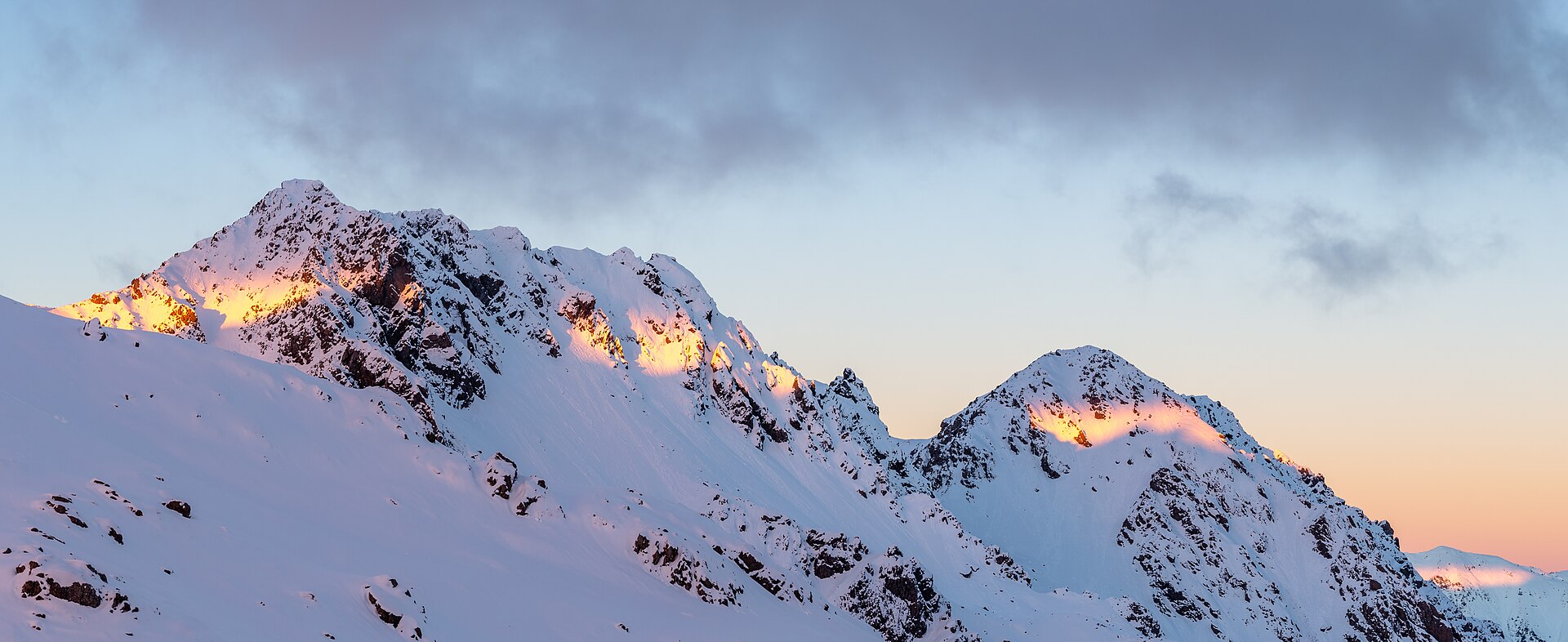
Yes. According to NASA's MODIS satellites (2015–2025 average), snow covers most of the site from June to September, with about 110 snow-covered days a year on average.
What is there to see in Arthur's Pass National Park?
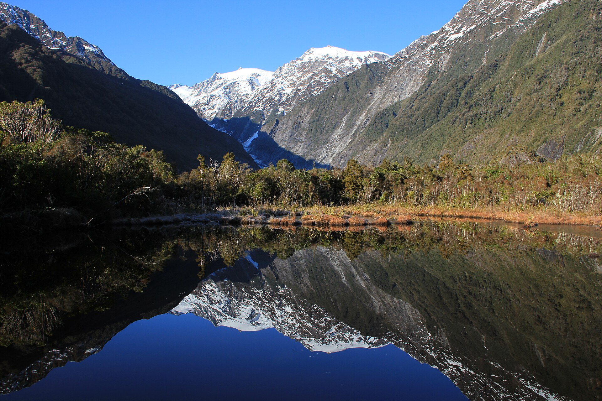
11 waterfalls, 9 lakes and ponds and 7 glaciers, including Kennedy Falls, Lake Kaurapataka (410 m), Kilmarnock Glacier and Kilmarnock Falls (Wikidata).
Are there historic monuments in Arthur's Pass National Park?
Yes. According to Wikidata, 2 monuments listed by Heritage New Zealand as Category 1 or 2 historic places stand within the boundary. For example: “Engine Shed” and “Aniwaniwa”.
What is the nearest large city to Arthur's Pass National Park?
Nearest towns of over 50,000 people, as the crow flies: Christchurch (84 km). Nearest airport: Christchurch (CHC), about 75 km away.
How can I reach Arthur's Pass National Park by train?
Arthur's Pass railway station lies within the site.
Where can I get visitor information on site?
DOC Visitor Centre.
Are there waymarked hiking trails in Arthur's Pass National Park?
Yes. Waymarked hiking routes listed in OpenStreetMap: 15, including Avalanche Peak, Mount Bealey, Bealey Spur Hut and Mount Aicken. The “Avalanche Peak” route runs for about 8 km through the site, with some 1,050 m of ascent on its longest section.
Which species can be seen in Arthur's Pass National Park?
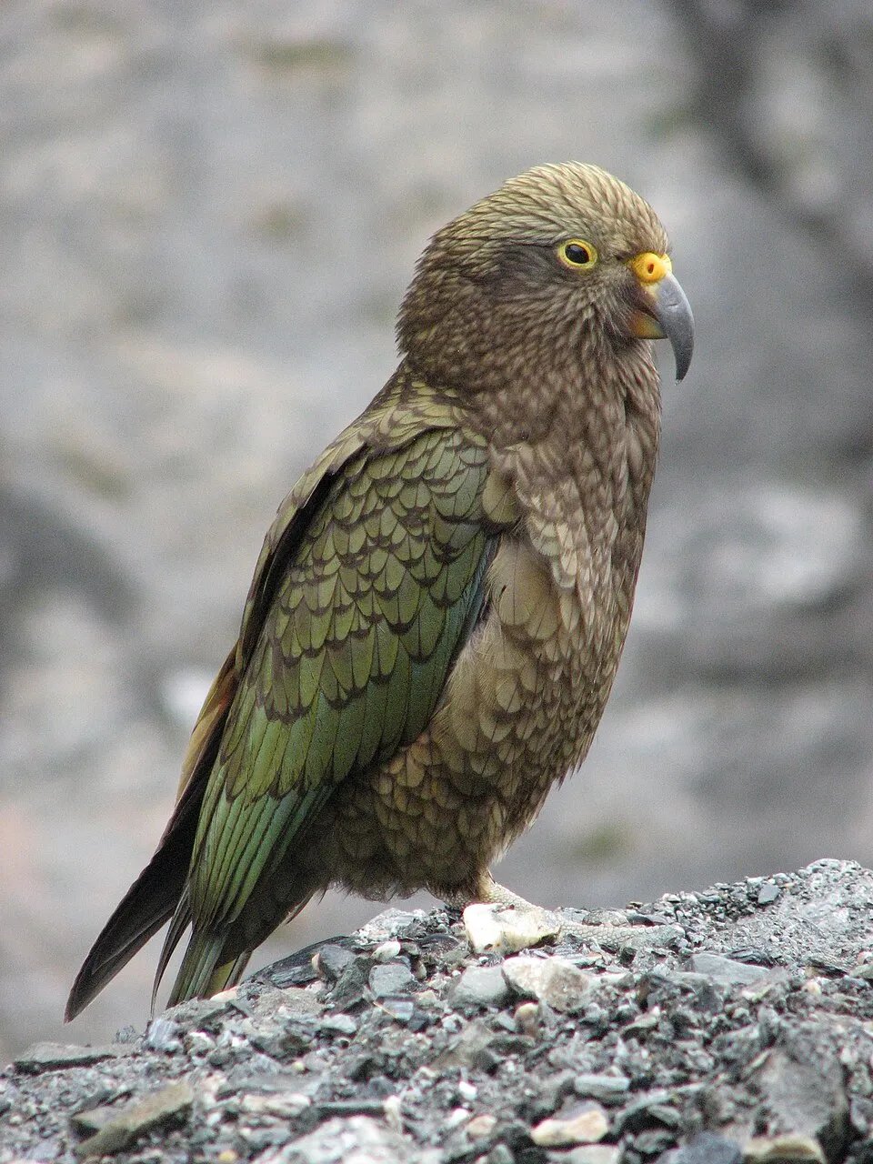
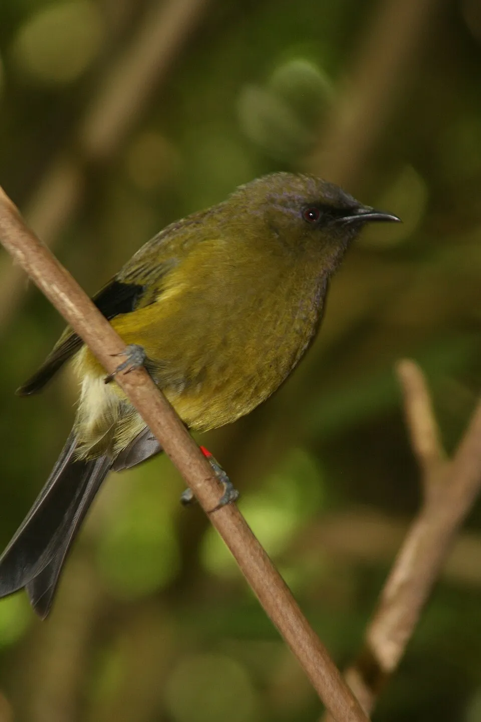
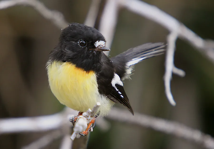
Among the species most often recorded on GBIF are Nestor notabilis (Kea), Anthornis melanura (New Zealand Bellbird), Petroica macrocephala (Tomtit) and Gerygone igata (Grey Gerygone).
Who manages Arthur's Pass National Park?
Department of Conservation.
© OpenStreetMap
Download the boundary: GeoJSON · GPX Boundary © OpenStreetMap contributors (ODbL).
Geography
The representative point of the site lies at around 1,519 m above sea level. Over the 1996–2025 period, the mean annual temperature is about 2.6 °C and total precipitation reaches roughly 2,385 mm per year. The warmest month is usually January, the coolest July, and the wettest October.
Area
- Area
- 118,470 ha
- Elevation
- 1,519 m
- Median elevation
- 1,150 m
- Mean slope
- 28°
- Snow cover
- ≈ 110 days a year
- Coordinates
- -42.8897, 171.7214
Terrain: Mapzen Terrain Tiles (SRTM, USGS)
Elevation bands
- below 500 m 2%
- 500–1,000 m 34%
- 1,000–1,500 m 47%
- 1,500–2,000 m 17%
share of the site in each elevation band (smoothed terrain model: summits are rounded off) · Terrain: Mapzen Terrain Tiles (SRTM, USGS)
Main summits
- Mount Murchison2,408 m
- Mount Davie2,280 m
- Mount Rolleston2,275 m
- Mount Wakeman2,271 m
- Mount Harper2,222 m
- Mount Gizeh2,162 m
- Mount Franklin2,145 m
- Mount Speight2,116 m
- Mount Lancelot2,112 m
- Mount Guinevere2,042 m
Data © OpenStreetMap contributors (ODbL)
Climate
● Mean temperature (°C) · ▮ Precipitation (mm)
Source: Copernicus ERA5-Land (C3S, doi:10.24381/cds.68d2bb30), monthly averages 1996–2025 interpolated to the representative point, temperatures adjusted for elevation.
Contains modified Copernicus Climate Change Service information 2026. Neither the European Commission nor ECMWF is responsible for any use that may be made of the Copernicus information or data it contains.
Snow cover measured by satellite
J
F
M
A
M
J
J
A
S
O
N
D
average share of the site under snow · snowiest parts · ≈ 110 days a year
Snow cover: MODIS/Terra MOD10CM v61 (Hall & Riggs, 2021, NASA NSIDC DAAC, doi:10.5067/MODIS/MOD10CM.061), imagery from NASA GIBS (ESDIS); 2015–2025 average, grid of about 5 km.
Natural habitats
According to the global MODIS land cover (NASA, 2024), the site is mainly made up of forests (50%), grassland and meadows (43%) and bare rock and scree (5%). Woodland is mostly coniferous. Elevation ranges from about 520 m to 2,408 m (highest point: Mount Murchison). Median elevation is 1,150 m, and 17% of the site lies above 1,500 m (SRTM elevation model). The terrain is steep: 51% of slopes exceed 30° (mean slope 28°).
Biodiversity
Based on occurrences aggregated by GBIF, several species are regularly recorded within the site. Among the most frequent are Nestor notabilis (Kea), Anthornis melanura (New Zealand Bellbird), Petroica macrocephala (Tomtit) and Gerygone igata (Grey Gerygone). The full list of documented taxa is shown below.
Species to look out for



Observed species
Occurrences documented via GBIF; they are neither an exhaustive inventory nor proof of current presence.
- Kea · Nestor notabilis · 2462
- New Zealand Bellbird · Anthornis melanura · 2188
- Tomtit · Petroica macrocephala · 2179
- Grey Gerygone · Gerygone igata · 1783
- Eurasian Chaffinch · Fringilla coelebs · 1768
- South Island robin · Petroica australis · 1522
- Silvereye · Zosterops lateralis · 1502
- New Zealand Fantail · Rhipidura fuliginosa · 1319
- Rifleman · Acanthisitta chloris · 1308
- Common Blackbird · Turdus merula · 1155
- Brown Hare · Lepus europaeus · 968
- Pipipi · Finschia novaeseelandiae · 814
+18 more species
- Redpoll · Acanthis flammea · 766
- Dunnock · Prunella modularis · 731
- Song Thrush · Turdus philomelos · 646
- House Sparrow · Passer domesticus · 541
- Kelp Gull · Larus dominicanus · 431
- Welcome Swallow · Hirundo neoxena · 420
- Morepork · Ninox novaeseelandiae · 370
- Common Brush-tailed Possum · Trichosurus vulpecula · 365
- New Zealand rock wren · Xenicus gilviventris · 323
- Kākā · Nestor meridionalis · 309
- Yellowhammer · Emberiza citrinella · 302
- New Zealand Pipit · Anthus novaeseelandiae · 298
- Yellow-crowned Parakeet · Cyanoramphus auriceps · 293
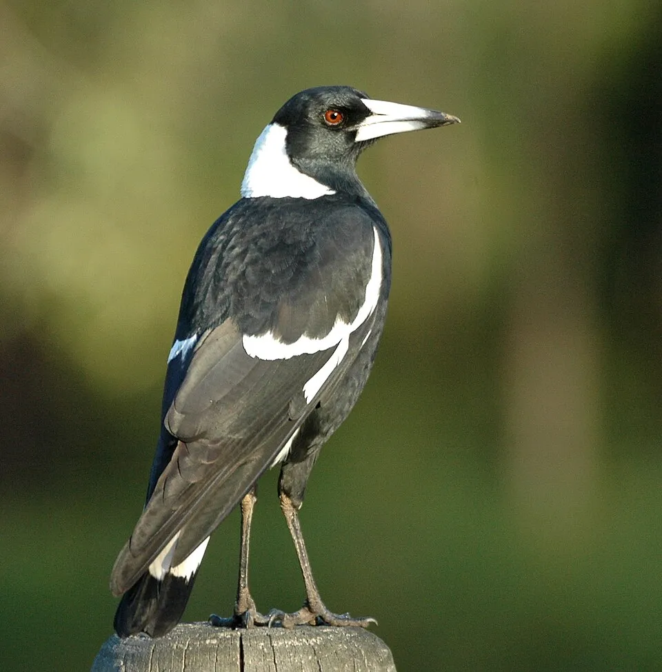
- Australian Magpie · Gymnorhina tibicen · 273
- New Zealand Falcon · Falco novaeseelandiae · 270
- European Greenfinch · Chloris chloris · 263
- Black-fronted Tern · Chlidonias albostriatus · 229
- Swamp Harrier · Circus approximans · 220
Records: GBIF.org (CC-BY). Names: Wikidata (CC0), GBIF. Photos: Wikimedia Commons.
Conservation challenges
The primary purpose of the site is to preserve its natural habitats and the biodiversity they support. The species recorded (Biodiversity tab) reflect its ecological value. Its status as a national park sets the regulatory framework for its protection.
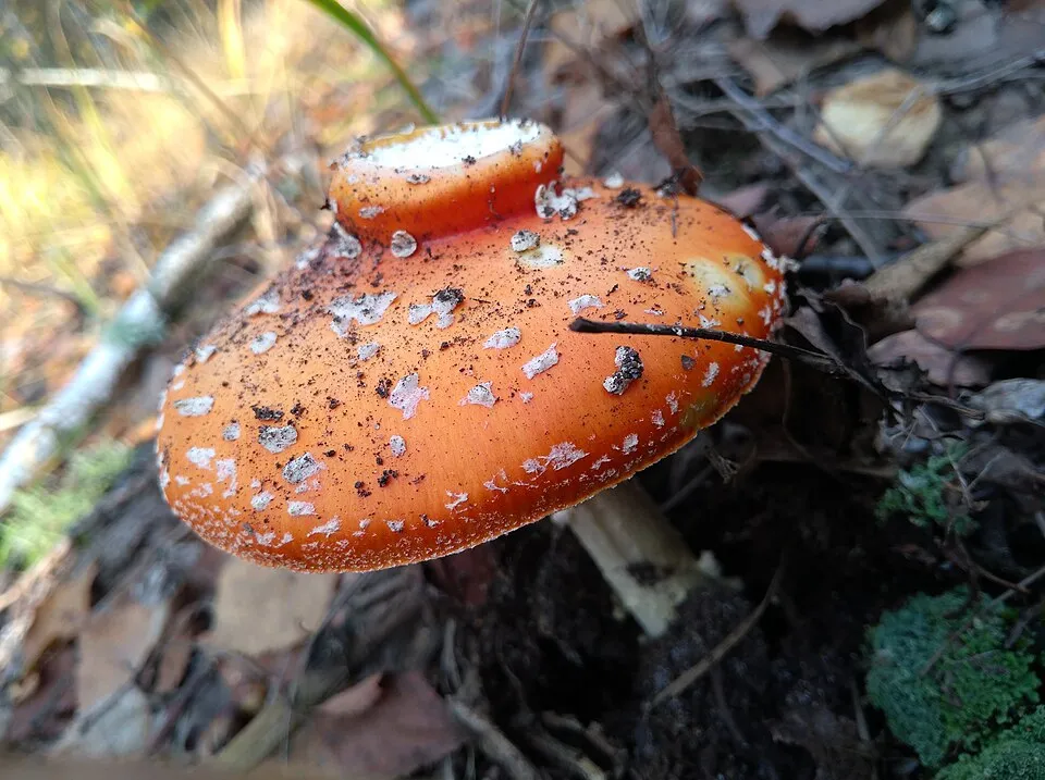
According to Global Forest Change data (University of Maryland, Global Forest Watch), about 96 ha of tree cover were lost within the boundary between 2001 and 2023, peaking in 2012 and 2016. These losses include logging, storms and fires, and do not account for regrowth. At night, the area gives off virtually no artificial light detectable from space (NASA VIIRS Black Marble composite, 2016). Since 2000, 27 invasive alien species have been recorded within the site (GBIF observations). Among them: Gymnorhina tibicen (Australian Magpie), Amanita muscaria (Fly agaric) and Vespula vulgaris (Common wasp).
Pressure indicators
Tree cover lost
96 ha
2001–2023 · < 1% of the area
20012023
Light at night
0%
of the area gives off artificial light visible from space
DarkLit
Invasive alien species
27
recorded since 2000
 Australian Magpie
 Fly agaric
 Common wasp
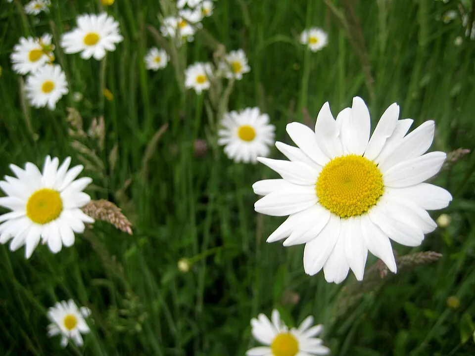 Oxeye daisy
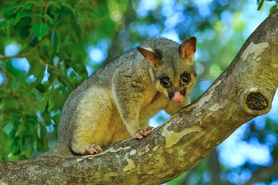 Common Brush-tailed Possum
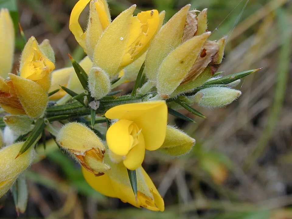 Gorse
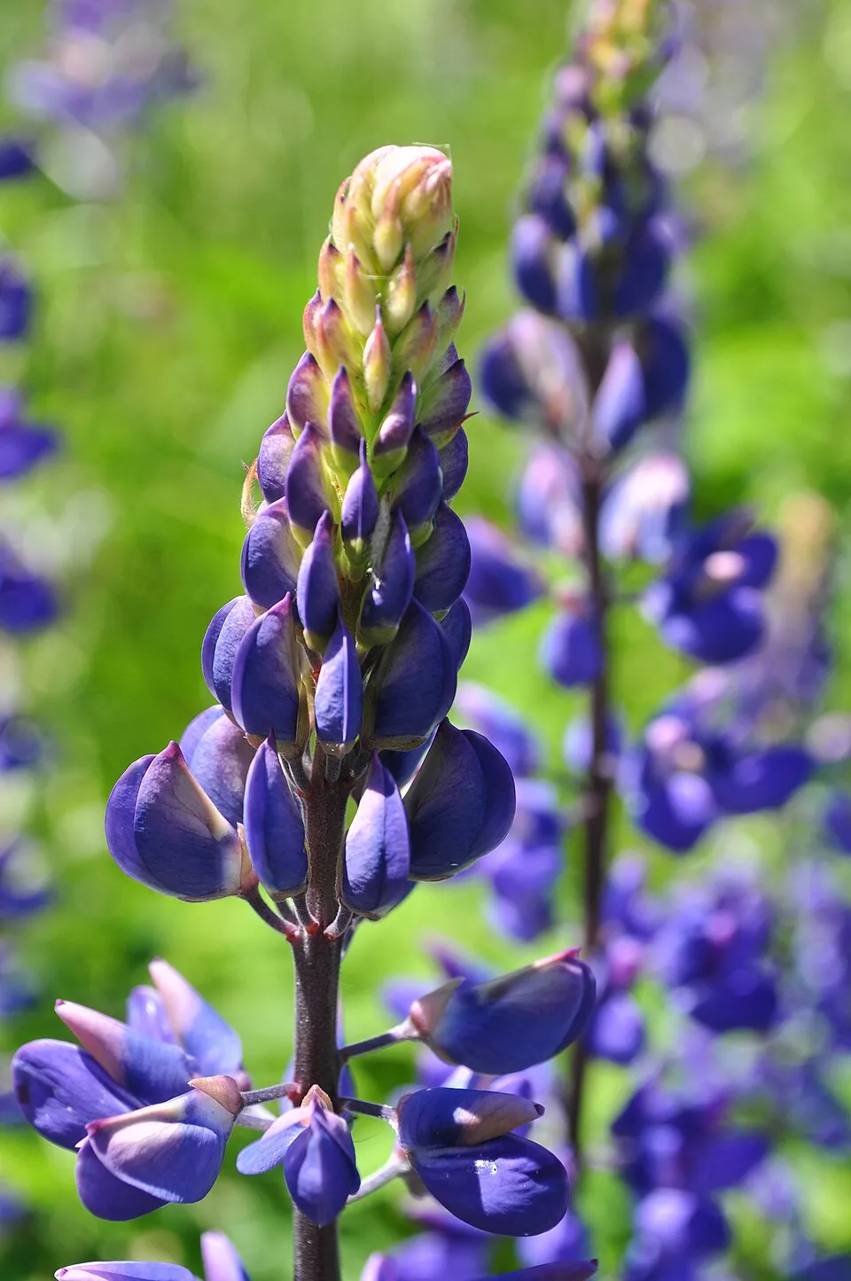 Large-leaved lupine
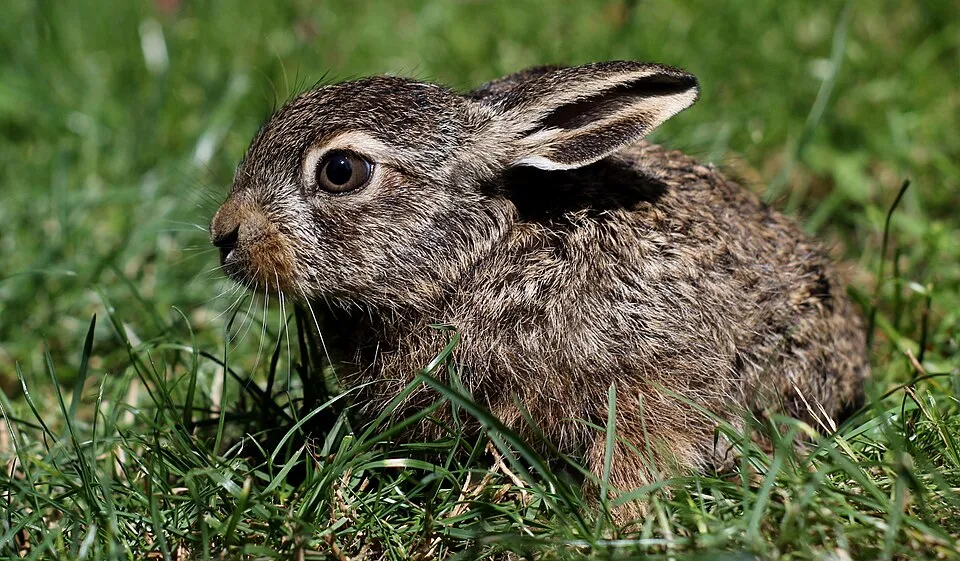 Brown Hare
Photos: Australian Magpie © Aviceda · CC BY-SA 3.0; Fly agaric © K. Chaikovska (Kate Chkv) · CC BY 4.0; Common wasp © soebe · CC BY-SA 3.0; Oxeye daisy © Lupus in Saxonia · CC BY-SA 4.0; Common Brush-tailed Possum © Andrew Mercer (www.baldwhiteguy.co.nz) · CC BY-SA 4.0; Gorse © Forest & Kim Starr · CC BY 3.0; Large-leaved lupine © Joe Mabel (on Flickr as Joe Mabel from Seattle, US) · CC BY-SA 3.0; Brown Hare © Iwona Kałuzińska · CC BY-SA 4.0
Sources: Global Forest Change (Hansen et al., University of Maryland, via Global Forest Watch, CC-BY 4.0); EFFIS, European Commission / Copernicus; NASA Black Marble 2016 (public domain); CORINE Land Cover 2018 (Copernicus) or MODIS.
Invasive alien species: Global Register of Introduced and Invasive Species (ISSG, CC BY 4.0); Union list, Regulation (EU) 1143/2014 (INBO, CC0); GBIF.org records (CC0 / CC BY 4.0), at least 2 per species.
Practical information
Cities and airport
- Christchurch
84 km as the crow flies - Airport: Christchurch (CHC)
75 km as the crow flies
Visitor information
- DOC Visitor Centre
within the site
Parking
17 public car parks listed within the site
Waimakariri ValleyO'Malley Track Car ParkDevil's Punchbowl carparkCoral track carpark
Things to see
11 waterfalls · 9 lakes and ponds · 7 glaciers
- Kennedy Falls
waterfall - Lake Kaurapataka
lake or pond · 410 m - Kilmarnock Glacier
glacier - Kilmarnock Falls
waterfall - Lake Florence
lake or pond
Hiking
15 waymarked routes listed, including:
Avalanche PeakMount BealeyBealey Spur HutMount AickenTemple Basin
Trail difficulty
- T1 · easy hiking · 45% · 85 km
- T2 · mountain hiking · 25% · 51 km
- T3–T6 · demanding or alpine hiking · 25% · 51 km
186 km graded out of 289 km of paths
SAC scale (T1–T6) © OpenStreetMap contributors (ODbL): indicative only, check with the park.
Data © OpenStreetMap contributors (ODbL) · Wikidata (CC0)
Waymarked hiking routes
Avalanche Peak
8.1 km within the site ↗ 1,053 m↘ 1,052 m 750–1,815 m
up to T4 · alpine hiking
Bealey Spur Hut
4.6 km within the site ↗ 601 m↘ 7 m 937–1,537 m
up to T2 · mountain hiking
TA08a TA08a Boyle Village to Arthurs Pass
35.6 km within the site ↗ 508 m↘ 781 m 356–1,080 m
Tracks © OpenStreetMap contributors (ODbL), clipped to the boundary; elevation gain and profiles computed on the longest section from Mapzen Terrain Tiles (≈ 30 m), indicative only. Indicative difficulty (SAC scale, OpenStreetMap, via Waymarked Trails): check with the park.
Access and visiting
Arthur's Pass railway station lies within the site. Nearest towns of over 50,000 people, as the crow flies: Christchurch (84 km). Nearest airport: Christchurch (CHC), about 75 km away. Visitor information on site: DOC Visitor Centre. Public car parks listed within the site: 17, including Waimakariri Valley, O'Malley Track Car Park and Devil's Punchbowl carpark. Waymarked hiking routes listed in OpenStreetMap: 15, including Avalanche Peak, Mount Bealey, Bealey Spur Hut and Mount Aicken. To see: 11 waterfalls, 9 lakes and ponds and 7 glaciers, including Kennedy Falls, Lake Kaurapataka (410 m), Kilmarnock Glacier and Kilmarnock Falls. To plan a visit (access, opening periods, visitor rules), it is best to consult the official information from the managing body (Department of Conservation) and the official website listed in this page's sources.
Source: OpenStreetMap (ODbL), Wikidata (CC0), November 2026.
Built heritage
According to Wikidata, 2 monuments listed by Heritage New Zealand as Category 1 or 2 historic places stand within the boundary. Examples include “Engine Shed” and “Aniwaniwa”.
Source: Wikidata (CC0), monuments in each country’s official heritage protection registers, at national or regional level. Each item links to its Wikidata entry.
When to visit
Mildest period: from December to March, with average temperatures of 6 to 8 °C. Average temperatures drop below 0 °C from June to September: frost is common. These averages apply to the site's representative point (1,519 m); higher up it is markedly cooler and snow lasts longer. According to NASA's MODIS satellites (2015–2025 average), snow covers most of the site from June to September, with about 110 snow-covered days a year on average. Day length ranges from about 9 h 02 min in June to 15 h 20 min in December. Wildlife records published on GBIF peak for birds (December and January), plants (January), butterflies and moths (January and February), dragonflies (January and February) and mammals (January). These peaks also reflect when observers are most active.
Source: Copernicus ERA5-Land (C3S), monthly averages 1996–2025 at the representative point, temperatures adjusted for elevation.
Contains modified Copernicus Climate Change Service information 2026. Neither the European Commission nor ECMWF is responsible for any use that may be made of the Copernicus information or data it contains.
Wildlife records calendar
JFMAMJJASOND
Birds
Plants
Butterflies & moths
Dragonflies
Mammals
Monthly records published on GBIF (CC-BY), relative to the busiest month; also reflects observer activity.
Gallery
© Michal Klajban · CC BY-SA 4.0
© Michal Klajban · CC BY-SA 4.0
© Krzysztof Golik · CC BY-SA 4.0
© Tsy1980 · CC BY-SA 4.0
© Maksym Kozlenko · CC BY-SA 3.0
© Michal Klajban · CC BY-SA 4.0
Sources and licences
- Wikidata: Q712300
- OpenStreetMap: relation 6973803
- Wikipedia: en.wikipedia.org/wiki/Arthur's_Pass_National_Park
- WDPA: 811
References
- cds.climate.copernicus.eu: climate · CC-BY-4.0
- registry.opendata.aws: elevation of the reference point, detailed relief · PD
- lpdaac.usgs.gov: land cover · PD
- naturalearthdata.com: sea share · PD
- wikidata.org: official area, establishment date, protected heritage, managing body, nearby cities and airport, access and peaks, lake depths, places to see · CC0-1.0
- en.eurovelo.com: EuroVelo cycle routes · ODbL-1.0
- cycling.waymarkedtrails.org: cycle routes · ODbL-1.0
- opentopodata.org: elevations · PD
- globalforestwatch.org: tree cover loss · CC-BY-4.0
- gbif.org: seasonality of sightings, invasive alien species, observed species · CC-BY-4.0
- openstreetmap.org: official name, access and peaks, trail difficulty, wheelchair access · ODbL-1.0
- earthobservatory.nasa.gov: night light · PD
- hiking.waymarkedtrails.org: route difficulty · ODbL-1.0
- nsidc.org: snow cover · PD
- wikidata.org: Wikipedia article · CC-BY-SA-4.0
Data © OpenStreetMap contributors (ODbL), Wikidata (CC0) and the sources cited.