Japan · Mixed
Ashizuri-Uwakai National Park
National park of 11,345 hectares in Japan, established in 1972.
Overview
National park of 11,345 hectares in Japan, established in 1972.
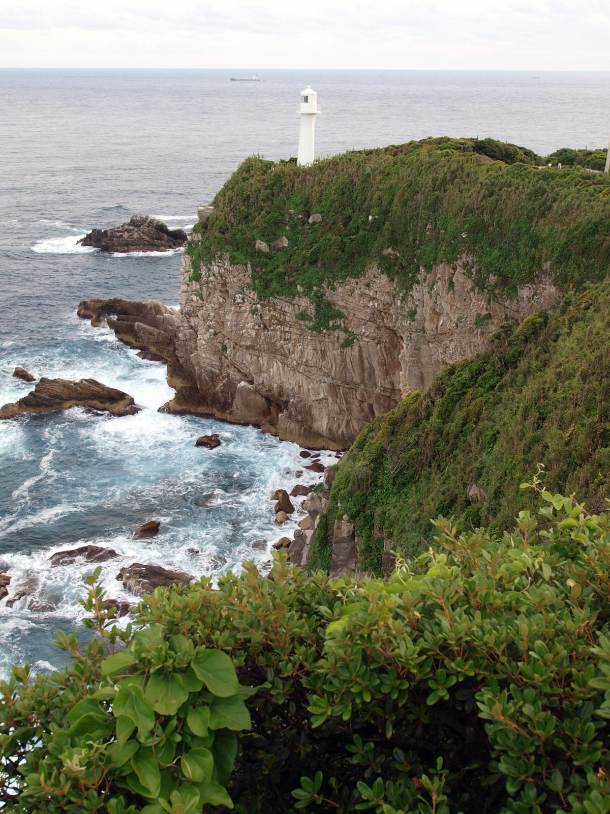
Ashizuri-Uwakai National Park is located in Japan (Asia). It covers both land and sea. Established on 10 November 1972, it covers about 11,345 hectares.
In our collections
Frequently asked questions
Where is Ashizuri-Uwakai National Park?
In Japan (Asia). Representative point: 32.9094° N, 132.6101° E.
How large is Ashizuri-Uwakai National Park?
About 11,345 hectares (113 km²). It is the 32nd largest of the 35 national parks in Japan covered by Parkavela. About 7,200 ha are at sea.
When was Ashizuri-Uwakai National Park established?
On 10 November 1972.
What habitats and landscapes does Ashizuri-Uwakai National Park include?
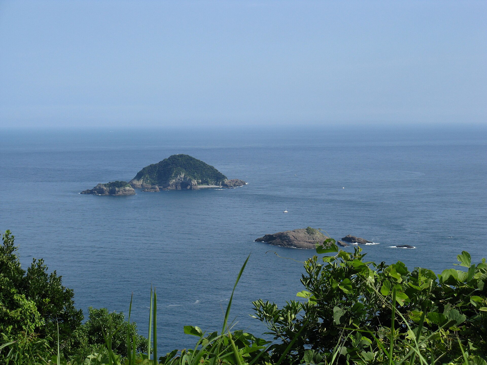
An area spanning land and sea, with forests, mountains and coasts.
What is the highest point of Ashizuri-Uwakai National Park?
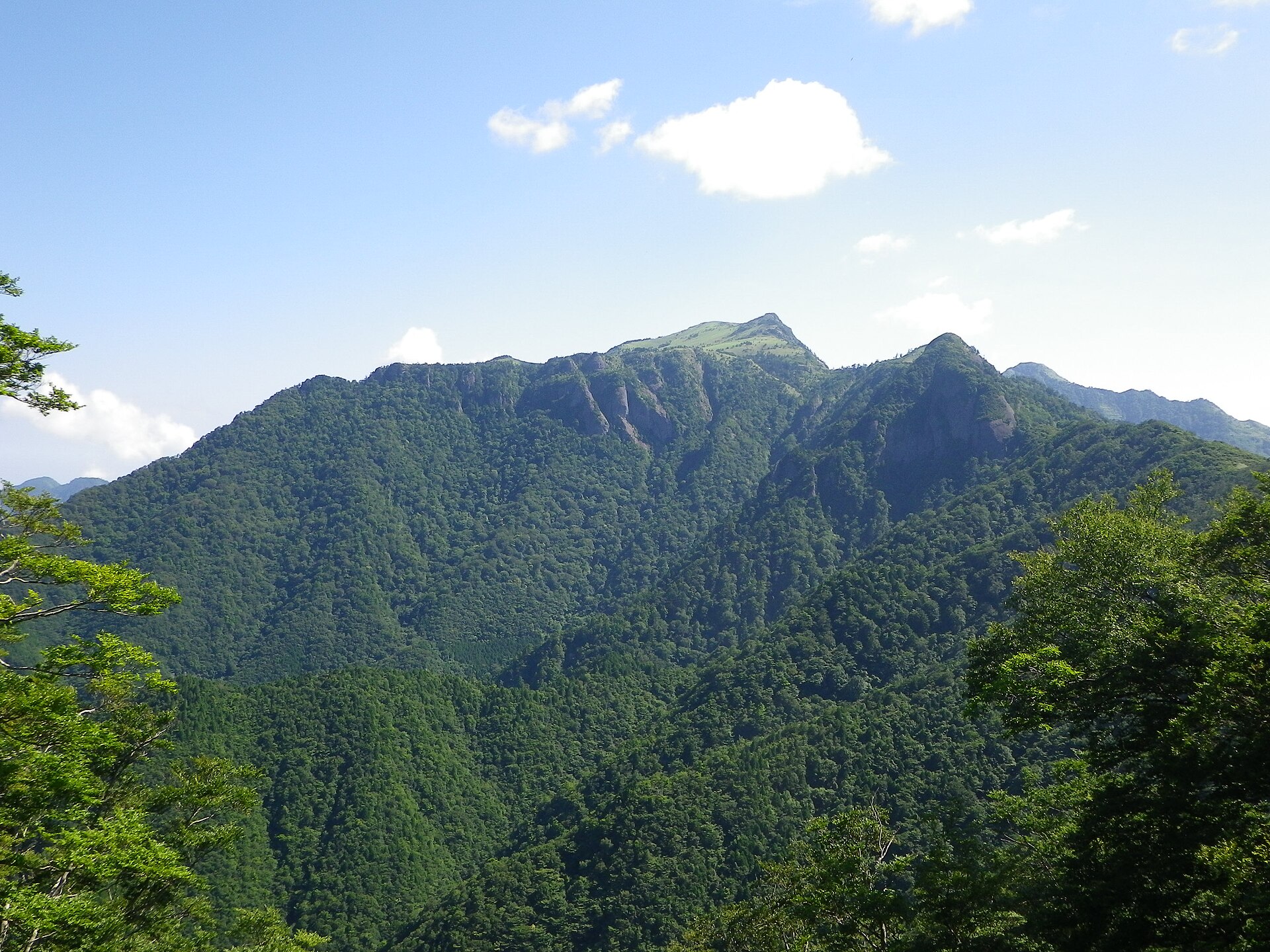
Mount Takatsuki, at 1,229 m (Wikidata).
What are the main summits of Ashizuri-Uwakai National Park?
Mount Takatsuki (1,229 m), Mount Sanbongui (1,226 m), Mount Onigajo (1,151 m), Sasayama (1,065 m) and Mount Takamori (635 m) (Wikidata).
When is the best time to visit Ashizuri-Uwakai National Park?
Best time to visit: April and May, with average temperatures of 16 to 20 °C and moderate rainfall.
What is there to see in Ashizuri-Uwakai National Park?
Waterfall Yukiwa Falls (Wikidata).
What is the nearest large city to Ashizuri-Uwakai National Park?
Nearest towns of over 50,000 people, as the crow flies: Matsuyama (60 km) and Ōita-shi (60 km). Nearest airport: Matsuyama (MYJ), about 56 km away.
How can I reach Ashizuri-Uwakai National Park by train?
The nearest railway station is Shimo-Uwa, about 1 km from the site boundary.
Which species can be seen in Ashizuri-Uwakai National Park?
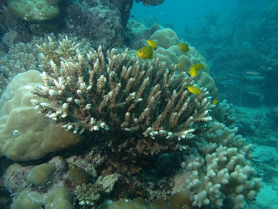
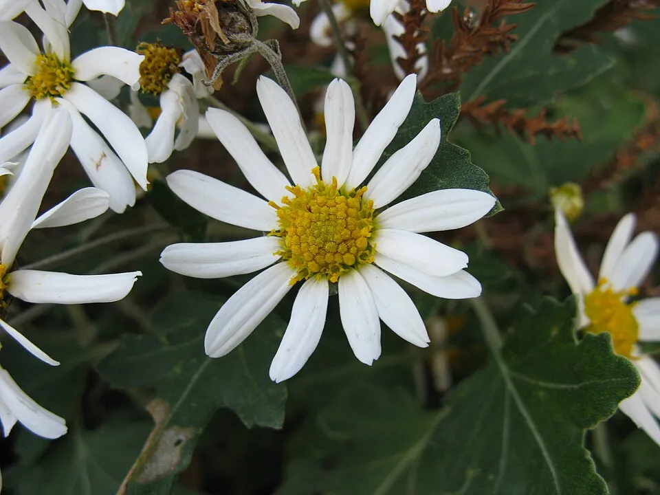
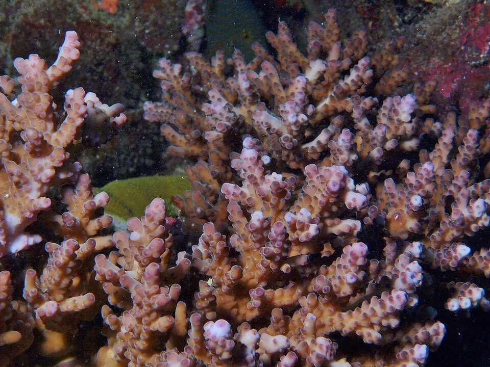
Among the species most often recorded on GBIF are Acropora divaricata, Chrysanthemum japonense, Acropora solitaryensis (Staghorn coral) and Acropora glauca.
What is the official website of Ashizuri-Uwakai National Park?
© OpenStreetMap
Download the boundary: GeoJSON · GPX Boundary © OpenStreetMap contributors (ODbL).
Geography
Over the 1996–2025 period, the mean annual temperature is about 17.9 °C and total precipitation reaches roughly 1,992 mm per year. The warmest month is usually August, the coolest January, and the wettest June.
Area
- Area
- 11,345 ha
- Coordinates
- 32.9094, 132.6101
Main summits
- Mount Takatsuki1,229 m
- Mount Sanbongui1,226 m
- Mount Onigajo1,151 m
- Sasayama1,065 m
- Mount Takamori635 m
- Mount Gongen491 m
- Mount Imose404 m
Data: Wikidata (CC0), pending OpenStreetMap data
Climate
● Mean temperature (°C) · ▮ Precipitation (mm)
Source: Copernicus ERA5-Land (C3S, doi:10.24381/cds.68d2bb30), monthly averages 1996–2025 interpolated to the representative point, temperatures adjusted for elevation.
Contains modified Copernicus Climate Change Service information 2026. Neither the European Commission nor ECMWF is responsible for any use that may be made of the Copernicus information or data it contains.
Snow cover measured by satellite
J
F
M
A
M
J
J
A
S
O
N
D
average share of the site under snow · snowiest parts · ≈ 10 days a year
Snow cover: MODIS/Terra MOD10CM v61 (Hall & Riggs, 2021, NASA NSIDC DAAC, doi:10.5067/MODIS/MOD10CM.061), imagery from NASA GIBS (ESDIS); 2015–2025 average, grid of about 5 km.
Natural habitats
According to the global MODIS land cover (NASA, 2024), the land area is mainly made up of forests (74%) and marshes and bogs (25%). It is mostly dense evergreen broadleaved forest. The sea covers about 64% of the site. The seabed reaches about 101 m deep (median depth 30 m; GEBCO bathymetry). Elevation ranges from sea level to 1,229 m (highest point: Mount Takatsuki).
Biodiversity
Based on occurrences aggregated by GBIF, several species are regularly recorded within the site. Among the most frequent are Acropora divaricata, Chrysanthemum japonense, Acropora solitaryensis (Staghorn coral) and Acropora glauca. The full list of documented taxa is shown below.
Species to look out for
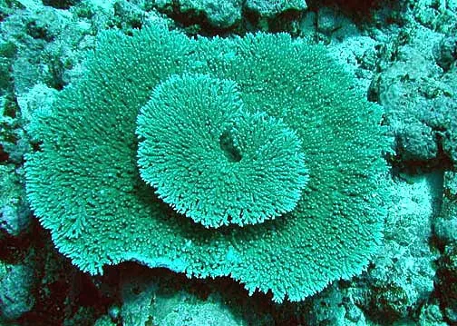
Coral and cnidarian
Acropora glauca
46 records © NPS photo - Larry Basch. Identified by Charles Birkeland · Public domain
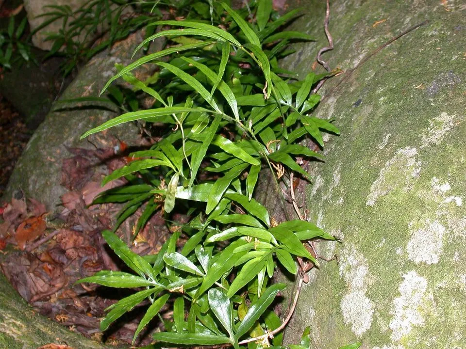

Observed species
Occurrences documented via GBIF; they are neither an exhaustive inventory nor proof of current presence.
- Acropora divaricata · 88
- Chrysanthemum japonense · 76
- Staghorn coral · Acropora solitaryensis · 55
- Acropora glauca · 46
- Broad-pinna Colysis · Leptochilus ellipticus · 41
- Japanese netvein hollyfern · Cyrtomium falcatum · 38
- Woodwardia prolifera · 38
- Autumn fern · Dryopteris erythrosora · 37
- Pteris wallichiana · 34
- Japanese callicarpa · Callicarpa japonica · 33
- Spirostoma japonicum · 33
- Ctenitis subglandulosa · 31
+18 more species
- Satsuma myomphala · 31
- Palapalai · Microlepia strigosa · 30
- Early spiketail · Stachyurus praecox · 30
- Staghorn coral · Acropora cytherea · 29
- Harlequin glorybower · Clerodendrum trichotomum · 28
- Chinese creepingfern · Odontosoria chinensis · 27
- Jejudo twinsorus fern · Diplazium hachijoense · 27
- Isotrema kaempferi · 26
- Kadsura Pepper · Piper kadsura · 26
- Creeping Fig · Ficus pumila · 26
- Asian chain fern · Woodwardia japonica · 26
- Leptogramma mollissima · 26
- Biflorate wedgelet fern · Odontosoria biflora · 25
- Japanese spindletree · Euonymus japonicus · 25
- Korean tasselfern · Polystichum polyblepharon · 25
- Indian skullcap · Scutellaria indica · 25
- Japanese false spleenwort · Deparia petersenii · 23
- Gynostemma · Gynostemma pentaphyllum · 23
Records: GBIF.org (CC-BY). Names: Wikidata (CC0), GBIF. Photos: Wikimedia Commons.
Conservation challenges
The primary purpose of the site is to preserve its natural habitats and the biodiversity they support. The species recorded (Biodiversity tab) reflect its ecological value. Its status as a national park sets the regulatory framework for its protection.
According to Global Forest Change data (University of Maryland, Global Forest Watch), about 68 ha of tree cover were lost within the boundary between 2001 and 2023 (under 1% of its area), peaking in 2015 and 2020. These losses include logging, storms and fires, and do not account for regrowth. At night, the area gives off virtually no artificial light detectable from space (NASA VIIRS Black Marble composite, 2016). Since 2000, 9 invasive alien species have been recorded within the site (GBIF observations). Among them: Broussonetia papyrifera (Paper mulberry), Paspalum dilatatum (Dallisgrass) and Silene gallica (Small-flowered catchfly).
Pressure indicators
Tree cover lost
68 ha
2001–2023 · < 1% of the area
20012023
Light at night
0%
of the area gives off artificial light visible from space
DarkLit
Invasive alien species
9
recorded since 2000
 Paper mulberry
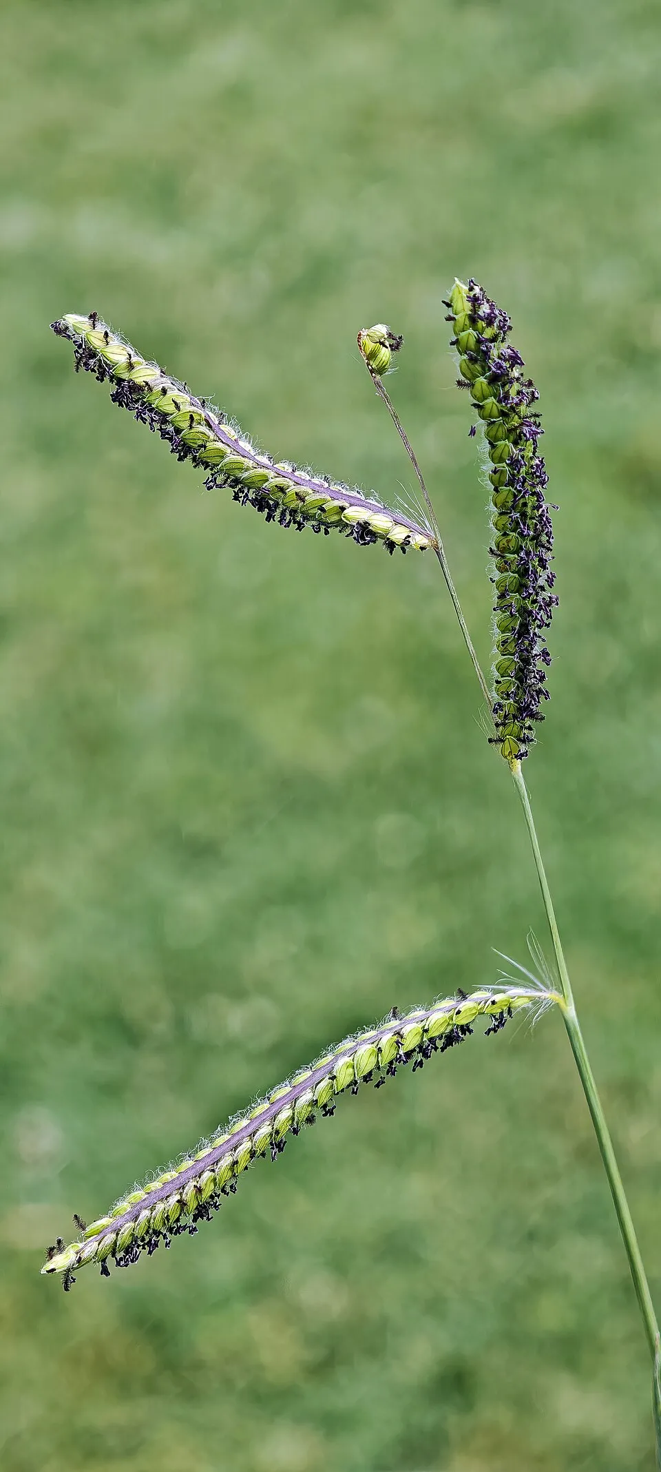 Dallisgrass
 Small-flowered catchfly
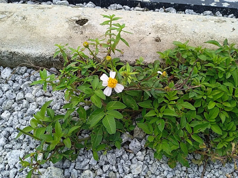 Hairy beggarticks
 Forked Sundew
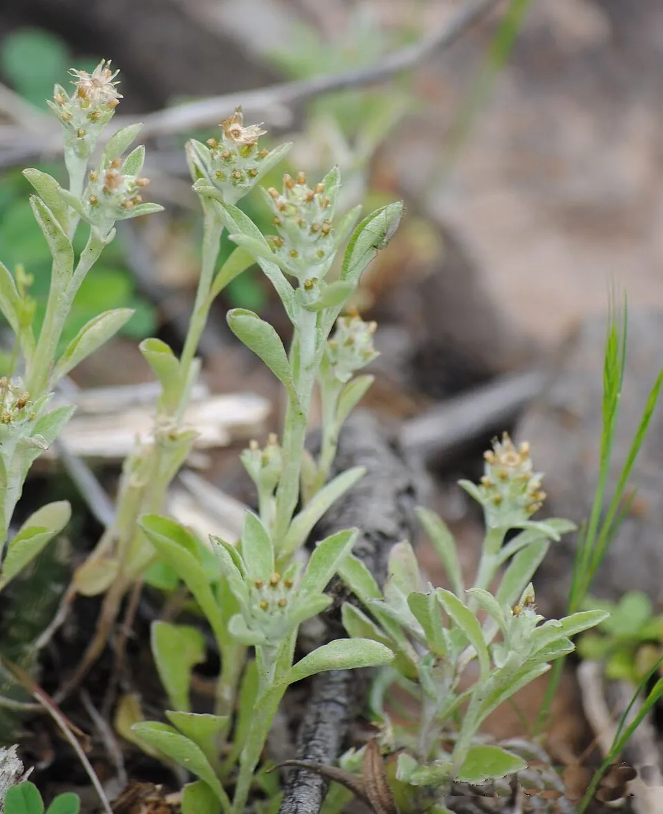 Pennsylvania everlasting
 Dixie rosemallow
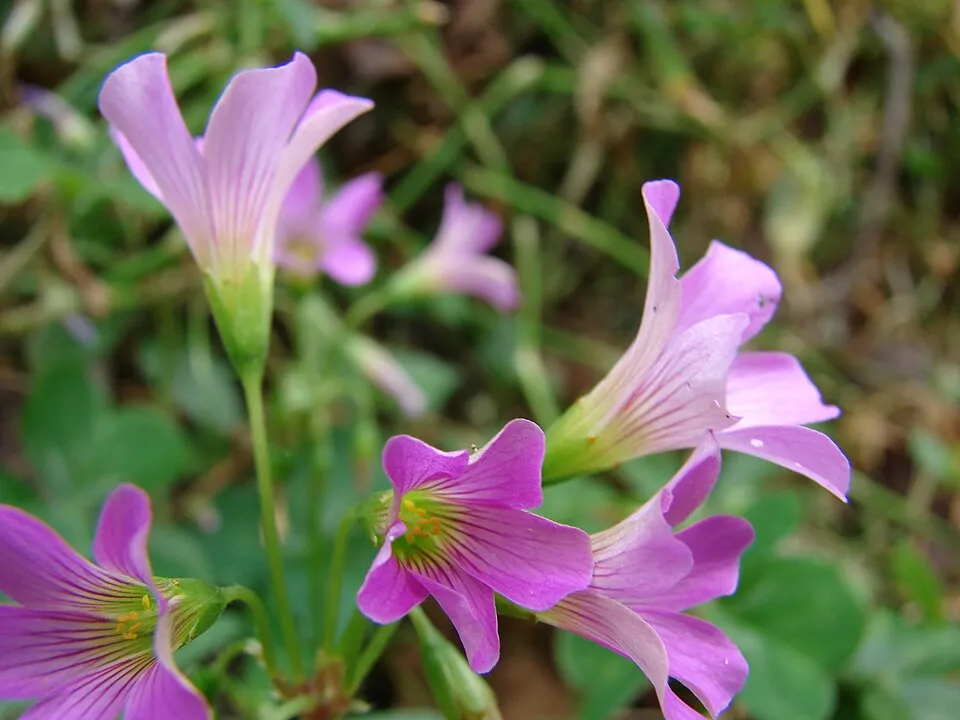 Large-flowered Pink-sorrel
Photos: Paper mulberry © Didier Descouens · CC BY-SA 4.0; Dallisgrass © Didier Descouens · CC BY-SA 4.0; Small-flowered catchfly © (Hans Hillewaert) · CC BY-SA 3.0; Hairy beggarticks © Wiki Farazi · CC0-1.0; Forked Sundew © NoahElhardt · CC BY-SA 2.5; Pennsylvania everlasting © Andrés González · CC BY-SA 3.0; Dixie rosemallow © ???? · CC BY-SA 3.0; Large-flowered Pink-sorrel © Forest & Kim Starr · CC BY 3.0
Sources: Global Forest Change (Hansen et al., University of Maryland, via Global Forest Watch, CC-BY 4.0); EFFIS, European Commission / Copernicus; NASA Black Marble 2016 (public domain); CORINE Land Cover 2018 (Copernicus) or MODIS.
Invasive alien species: Global Register of Introduced and Invasive Species (ISSG, CC BY 4.0); Union list, Regulation (EU) 1143/2014 (INBO, CC0); GBIF.org records (CC0 / CC BY 4.0), at least 2 per species.
Practical information
Cities and airport
- Matsuyama
60 km as the crow flies - Ōita-shi
60 km as the crow flies - Airport: Matsuyama (MYJ)
56 km as the crow flies
Data: Wikidata (CC0), pending OpenStreetMap data
Access and visiting
The nearest railway station is Shimo-Uwa, about 1 km from the site boundary. Nearest towns of over 50,000 people, as the crow flies: Matsuyama (60 km) and Ōita-shi (60 km). Nearest airport: Matsuyama (MYJ), about 56 km away. About 290,000 people live within 20 km of the site boundary, 170,000 of them within 10 km; some 6,500 people are estimated to live inside (GHSL estimate, 2020). This population has fallen by about 10% since 2000. To see: waterfall Yukiwa Falls. To plan a visit (access, opening periods, visitor rules), it is best to consult the official information from the managing body and the official website listed in this page's sources.
Source: Wikidata (CC0), November 2026.
When to visit
Best time to visit: April and May, with average temperatures of 16 to 20 °C and moderate rainfall. Precipitation peaks in June (up to 320 mm per month). Snow only makes brief appearances in winter (about 10 days a year on average, MODIS satellites 2015–2025). Day length ranges from about 9 h 59 min in December to 14 h 19 min in June. Wildlife records published on GBIF peak for birds (March and April). These peaks also reflect when observers are most active.
Source: Copernicus ERA5-Land (C3S), monthly averages 1996–2025 at the representative point, temperatures adjusted for elevation.
Contains modified Copernicus Climate Change Service information 2026. Neither the European Commission nor ECMWF is responsible for any use that may be made of the Copernicus information or data it contains.
Wildlife records calendar
JFMAMJJASOND
Birds
Plants
Monthly records published on GBIF (CC-BY), relative to the busiest month; also reflects observer activity.
Gallery
© 四万十人 · CC BY-SA 3.0
© As6673 · Public domain
© Reggaeman · CC BY-SA 3.0
© As6022014 · Public domain
© Reggaeman · CC BY-SA 3.0
© As6022014 · CC BY-SA 3.0
Sources and licences
- Wikidata: Q1132029
- Official website: http://www.env.go.jp/park/ashizuri/index.html
- Wikipedia: en.wikipedia.org/wiki/Ashizuri-Uwakai_National_Park
- WDPA: 12399
References
- env.go.jp: official area · CC-BY-4.0
- cds.climate.copernicus.eu: climate · CC-BY-4.0
- registry.opendata.aws: elevation of the reference point, detailed relief · PD
- lpdaac.usgs.gov: land cover · PD
- doi.org: population around the site · CC-BY-4.0
- naturalearthdata.com: sea share · PD
- en.eurovelo.com: EuroVelo cycle routes · ODbL-1.0
- cycling.waymarkedtrails.org: cycle routes · ODbL-1.0
- gebco.net: depths · PD
- opentopodata.org: elevations · PD
- wikidata.org: establishment date, protected heritage, official name, nearby cities and airport, access and peaks, lake depths, places to see, official website · CC0-1.0
- globalforestwatch.org: tree cover loss · CC-BY-4.0
- gbif.org: seasonality of sightings, invasive alien species, observed species · CC-BY-4.0
- earthobservatory.nasa.gov: night light · PD
- nsidc.org: snow cover · PD
- wikidata.org: Wikipedia article · CC-BY-SA-4.0
Data © OpenStreetMap contributors (ODbL), Wikidata (CC0) and the sources cited.