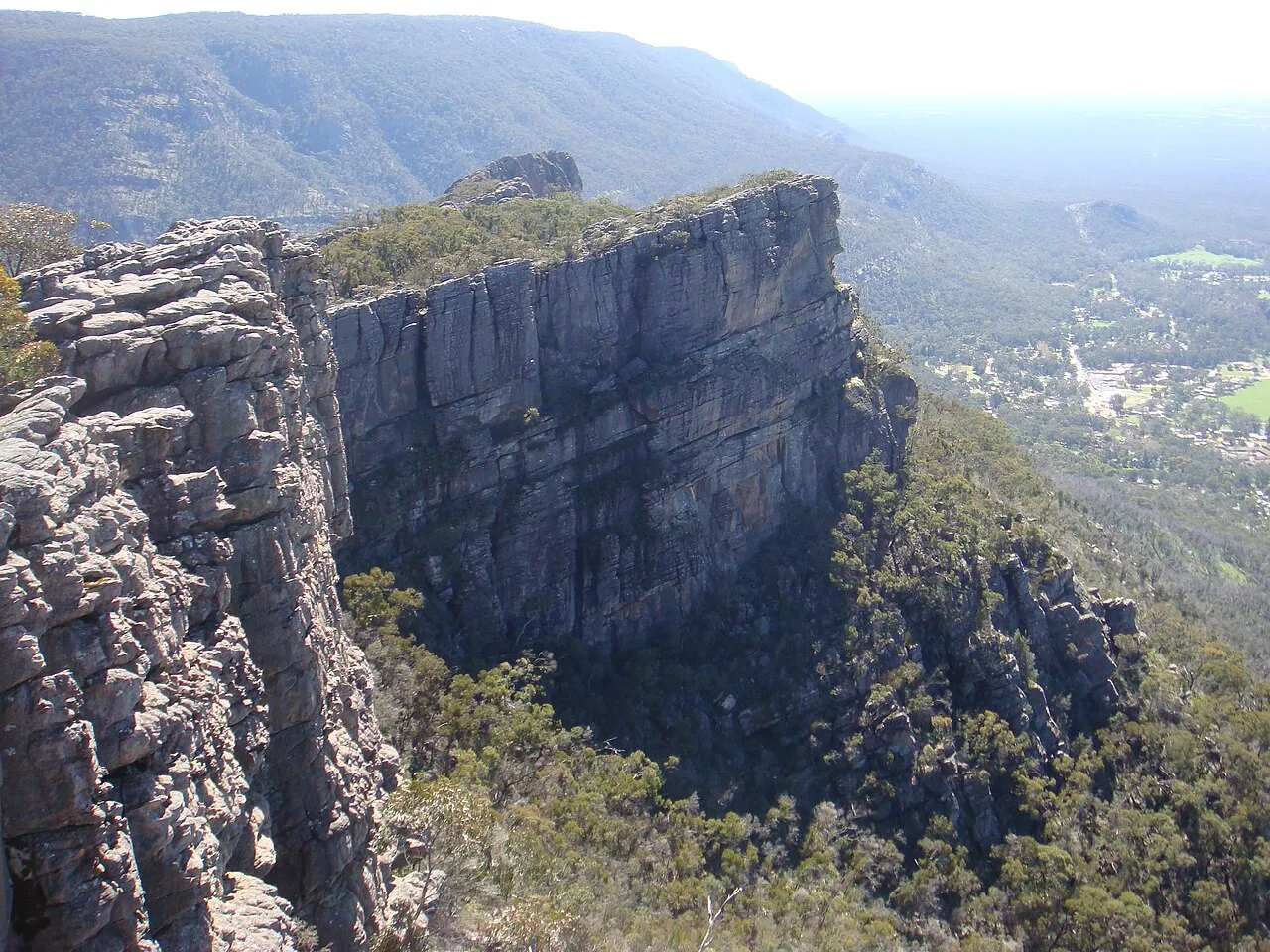


Australia · Marine
Discovery Bay Marine National Park
National park of 2,790 hectares in Australia, established in 2002.
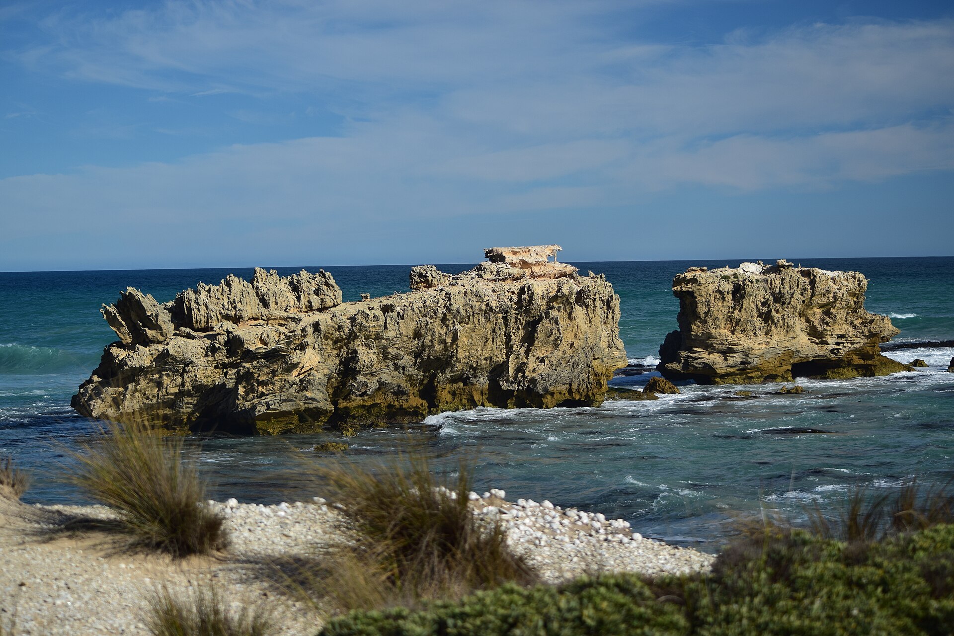
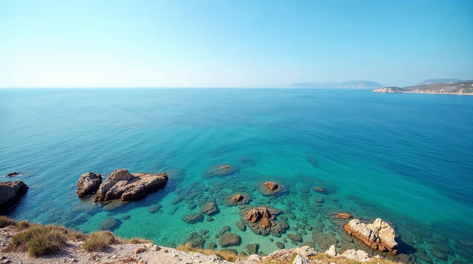
AI-generated illustration (Magnific) · typical landscape, not a photo of this place
Overview
National park of 2,790 hectares in Australia, established in 2002.
Discovery Bay Marine National Park is located in Australia (Oceania). It is a predominantly marine area. Established in 2002, it covers about 2,790 hectares. The site is managed by Parks Victoria.
Frequently asked questions
Where is Discovery Bay Marine National Park?
In Australia (Oceania). Representative point: 38.3500° S, 141.3667° E.
How large is Discovery Bay Marine National Park?
About 2,790 hectares (28 km²). It is the 455th largest of the 678 national parks in Australia covered by Parkavela.
When was Discovery Bay Marine National Park established?
In 2002.
What habitats and landscapes does Discovery Bay Marine National Park include?
A marine area, where land cover is dominated by marshes and bogs (83%).
When is the best time to visit Discovery Bay Marine National Park?
Best time to visit: from October to May, with average temperatures of 13 to 18 °C and moderate rainfall.
Which species can be seen in Discovery Bay Marine National Park?
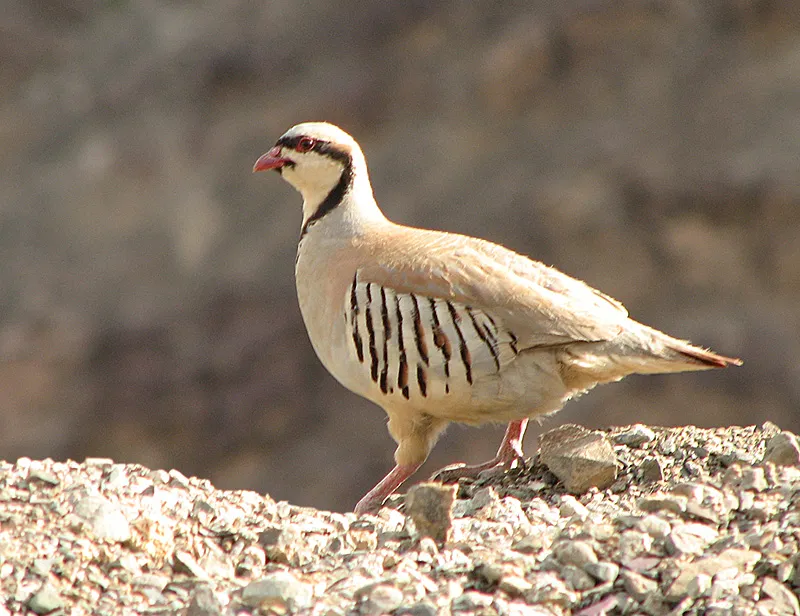
Among the species most often recorded on GBIF are Miniopterus orianae (Oriana’s Long-fingered Bat), Cenchrus clandestinus (Kikuyugrass), Alectoris chukar (Chukar Partridge) and Haematopus fuliginosus (Sooty Oystercatcher).
Who manages Discovery Bay Marine National Park?
Parks Victoria.
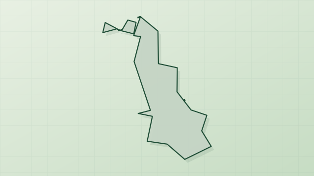
© OpenStreetMap
Download the boundary: GeoJSON · GPX Boundary © OpenStreetMap contributors (ODbL).
Geography
Over the 1996–2025 period, the mean annual temperature is about 14.4 °C and total precipitation reaches roughly 834 mm per year. The warmest month is usually February, the coolest July, and the wettest July.
Area
- Area
- 2,790 ha
- Coordinates
- -38.35, 141.3667
Climate
● Mean temperature (°C) · ▮ Precipitation (mm)
Source: Copernicus ERA5-Land (C3S, doi:10.24381/cds.68d2bb30), monthly averages 1996–2025 interpolated to the representative point, temperatures adjusted for elevation.
Contains modified Copernicus Climate Change Service information 2026. Neither the European Commission nor ECMWF is responsible for any use that may be made of the Copernicus information or data it contains.
Natural habitats
The site is almost entirely marine. The seabed reaches about 69 m deep (median depth 53 m; GEBCO bathymetry).
Biodiversity
Based on occurrences aggregated by GBIF, several species are regularly recorded within the site. Among the most frequent are Miniopterus orianae (Oriana’s Long-fingered Bat), Cenchrus clandestinus (Kikuyugrass), Alectoris chukar (Chukar Partridge) and Haematopus fuliginosus (Sooty Oystercatcher). The full list of documented taxa is shown below.
Species to look out for

Bird
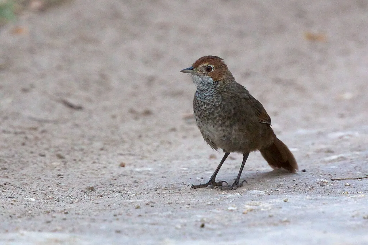
Sooty Oystercatcher
Haematopus fuliginosus2 records © JJ Harrison (https://tiny.jjharrison.com.au/t/MYSZyn8jStDTY47t) · CC BY-SA 4.0
Mammal
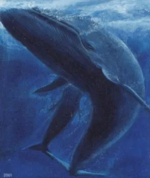
Blue whale
Balaenoptera musculus1 records © Postverk Føroya - Philatelic Office · Public domain
Bird
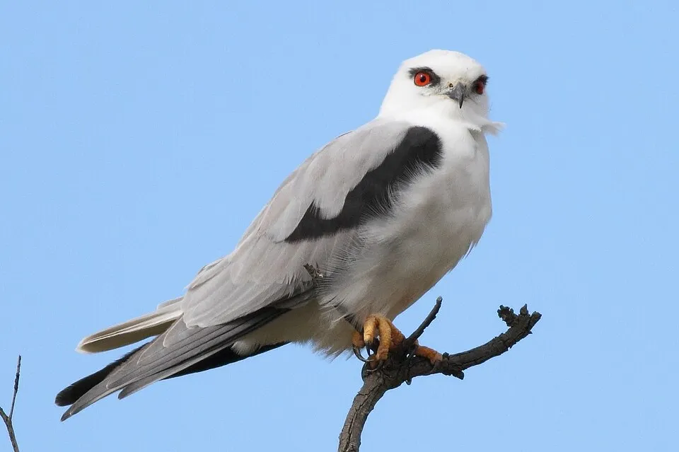
Black-shouldered Kite
Elanus axillarisObserved species
Occurrences documented via GBIF; they are neither an exhaustive inventory nor proof of current presence.
- Oriana’s Long-fingered Bat · Miniopterus orianae · 8
- Kikuyugrass · Cenchrus clandestinus · 3
- Apanthura isotoma · 2
- Dicoides brevidactyus · 2
- Platyischnopus mirabilis · 2
- Chukar Partridge · Alectoris chukar · 2
- Sooty Oystercatcher · Haematopus fuliginosus · 2
- Muehlenbeckia gunnii · 2
- Birubius cartoo · 2
- Limnoporeia kalduke · 2
- Urohaustorius parnggius · 2
- Narrow leaf wilsonia · Wilsonia backhousei · 2
+18 more species
- Ulakanthura namoo · 1
- Leptocuma pulleini · 1
- Ampelisca tilpa · 1
- Prionospio kirrae · 1
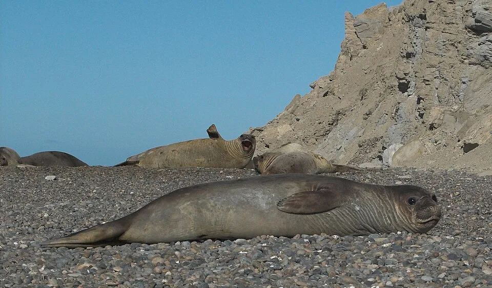
- Southern elephant seal · Mirounga leonina · 1
- Blue whale · Balaenoptera musculus · 1
- Black-shouldered Kite · Elanus axillaris · 1
- Brown Falcon · Falco berigora · 1
- Australian Magpie · Gymnorhina tibicen · 1
- Syntrichia leucostega · 1
- Silvergreen bryum moss · Bryum argenteum · 1
- Seashore dropseed · Sporobolus virginicus · 1
- One-leaf Cape tulip · Moraea flaccida · 1
- Broadleaf wild leek · Allium ampeloprasum · 1
- Guinea flower bush-pea · Pultenaea mollis · 1
- Capeweed · Arctotheca calendula · 1
- Twisted beard-heath · Leucopogon glacialis · 1
- Tipimegus thalerus · 1
Records: GBIF.org (CC-BY). Names: Wikidata (CC0), GBIF. Photos: Wikimedia Commons.
Conservation challenges
The primary purpose of the site is to preserve its natural habitats and the biodiversity they support. The species recorded (Biodiversity tab) reflect its ecological value. Its status as a national park sets the regulatory framework for its protection.
Access and visiting
About 12,000 people live within 20 km of the site boundary, 240 of them within 10 km (GHSL estimate, 2020). To plan a visit (access, opening periods, visitor rules), it is best to consult the official information from the managing body (Parks Victoria) and the official website listed in this page's sources.
When to visit
Best time to visit: from October to May, with average temperatures of 13 to 18 °C and moderate rainfall. Precipitation peaks from June to August (up to 120 mm per month). Day length ranges from about 9 h 30 min in June to 14 h 49 min in December.
Source: Copernicus ERA5-Land (C3S), monthly averages 1996–2025 at the representative point, temperatures adjusted for elevation.
Contains modified Copernicus Climate Change Service information 2026. Neither the European Commission nor ECMWF is responsible for any use that may be made of the Copernicus information or data it contains.
Sources and licences
- Wikidata: Q5281870
- OpenStreetMap: relation 9223215
- Wikipedia: en.wikipedia.org/wiki/Discovery_Bay_Marine_National_Park
- WDPA: 305460
References
- cds.climate.copernicus.eu: climate · CC-BY-4.0
- registry.opendata.aws: elevation of the reference point · PD
- lpdaac.usgs.gov: land cover · PD
- doi.org: population around the site · CC-BY-4.0
- naturalearthdata.com: sea share · PD
- wikidata.org: official area, establishment date, protected heritage, managing body, nearby cities and airport, access and peaks, places to see · CC0-1.0
- gebco.net: depths · PD
- opentopodata.org: elevations · PD
- gbif.org: seasonality of sightings, invasive alien species, observed species · CC-BY-4.0
- openstreetmap.org: official name, access and peaks · ODbL-1.0
- wikidata.org: Wikipedia article · CC-BY-SA-4.0
Data © OpenStreetMap contributors (ODbL), Wikidata (CC0) and the sources cited.