Indonesia · Terrestrial
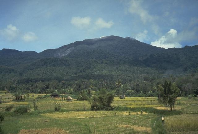
Gunung Leuser National Park
National park of 792,700 hectares in Indonesia, established in 1980.
Overview
National park of 792,700 hectares in Indonesia, established in 1980.
Gunung Leuser National Park is located in Indonesia (Asia). It is a predominantly terrestrial area. Established in 1980, it covers about 792,700 hectares.
Protections and designations
UNESCO World Heritage
Protected as a national park. International labels and designations: UNESCO World Heritage (“Tropical Rainforest Heritage of Sumatra”). Key dates: established in 1980 and World Heritage listing in 2004.
In our collections
Timeline
-
1980
Established
-
2004
Inscribed as a UNESCO World Heritage Site Tropical Rainforest Heritage of Sumatra
Sources: Wikidata (CC0) for establishment and international labels; EEA Natura 2000 database (CC-BY 4.0) for site designation dates.
Frequently asked questions
Where is Gunung Leuser National Park?
In Indonesia (Asia). Representative point: 3.5000° N, 97.5000° E.
How large is Gunung Leuser National Park?
About 792,700 hectares (7,927 km²). It is the 8th largest of the 54 national parks in Indonesia covered by Parkavela.
When was Gunung Leuser National Park established?
In 1980.
What habitats and landscapes does Gunung Leuser National Park include?
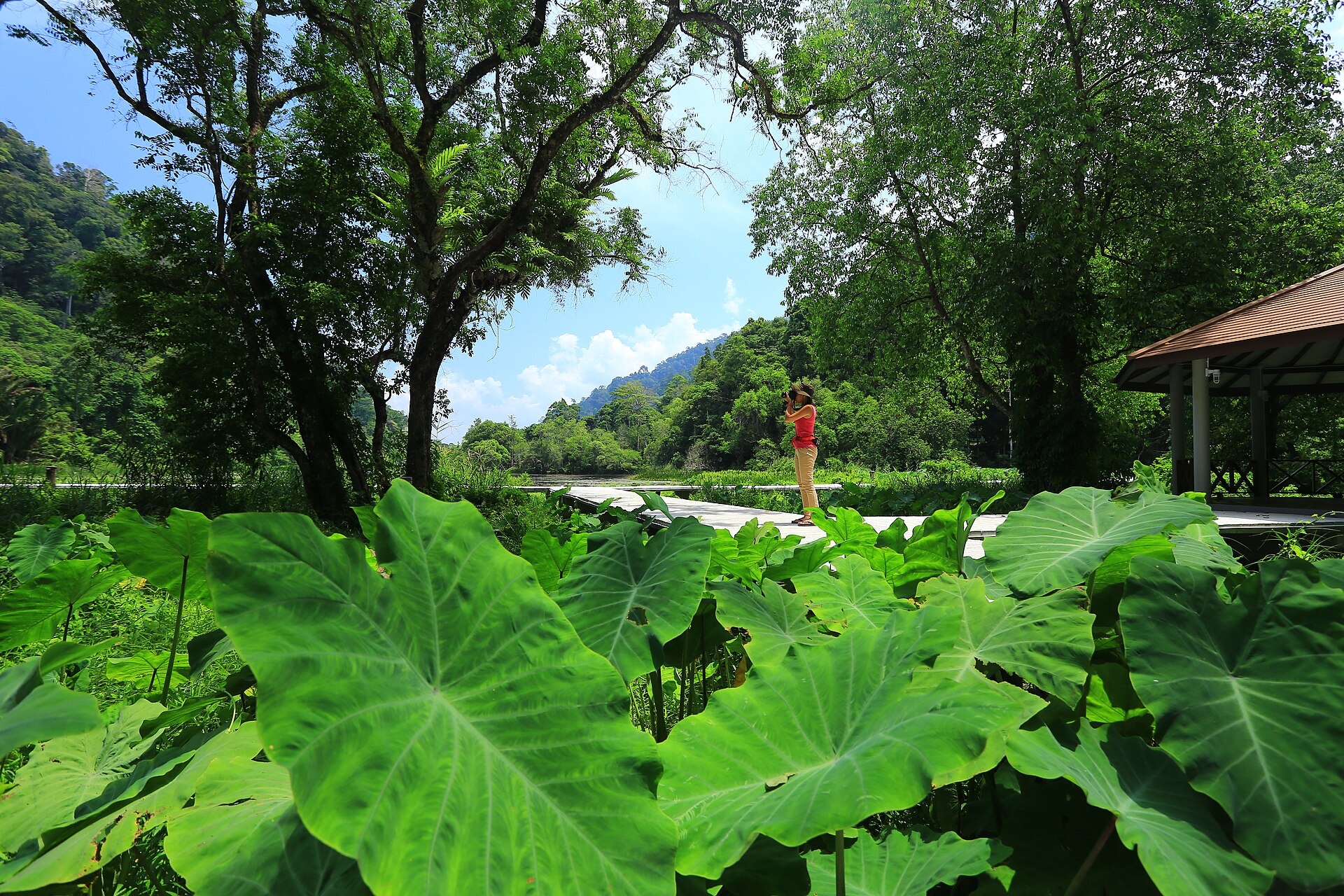
A terrestrial area, with forests and mountains.
What is the highest point of Gunung Leuser National Park?
Gunung Leuser, at 3,119 m (Wikidata).
What are the main summits of Gunung Leuser National Park?
Gunung Leuser (3,119 m), Mount Bandahara (3,012 m), Perkison (2,828 m) and Mount Kembar (2,245 m) (Wikidata).
Which international labels apply to Gunung Leuser National Park?
UNESCO World Heritage (“Tropical Rainforest Heritage of Sumatra”).
When is the best time to visit Gunung Leuser National Park?
Best time to visit: from January to September, with average temperatures of 13 to 15 °C and moderate rainfall.
What is there to see in Gunung Leuser National Park?
2 lakes and ponds, including Danau Laut Bangko (22 m) and Danau Marpunge (1,533 m) (Wikidata).
What is the nearest large city to Gunung Leuser National Park?
Nearest towns of over 50,000 people, as the crow flies: Binjai (29 km) and Medan (35 km). Nearest airport: Kualanamu (KNO), about 48 km away.
Which species can be seen in Gunung Leuser National Park?
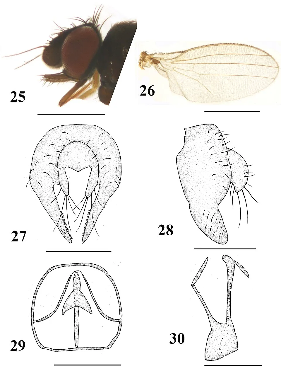
Among the species most often recorded on GBIF are Neophyllomyza lii, Buceros rhinoceros (Rhinoceros Hornbill), Onthophagus mexicanus and Pycnonotus goiavier (Yellow-vented Bulbul).
What is the official website of Gunung Leuser National Park?
© OpenStreetMap
Download the boundary: GeoJSON · GPX Boundary © OpenStreetMap contributors (ODbL).
Geography
The representative point of the site lies at around 2,521 m above sea level. Over the 1996–2025 period, the mean annual temperature is about 13.4 °C and total precipitation reaches roughly 4,742 mm per year. The warmest month is usually May, the coolest January, and the wettest November.
Area
- Area
- 792,700 ha
- Elevation
- 2,521 m
- Median elevation
- 1,324 m
- Mean slope
- 18°
- Coordinates
- 3.5, 97.5
Terrain: Mapzen Terrain Tiles (SRTM, USGS)
Elevation bands
- below 500 m 14%
- 500–1,000 m 20%
- 1,000–1,500 m 26%
- 1,500–2,000 m 21%
- 2,000–2,500 m 12%
- 2,500–3,000 m 6%
- above 3,000 m 1%
share of the site in each elevation band (smoothed terrain model: summits are rounded off) · Terrain: Mapzen Terrain Tiles (SRTM, USGS)
Main summits
- Gunung Leuser3,119 m
- Mount Bandahara3,012 m
- Perkison2,828 m
- Mount Kembar2,245 m
Data: Wikidata (CC0), pending OpenStreetMap data
Climate
● Mean temperature (°C) · ▮ Precipitation (mm)
Source: Copernicus ERA5-Land (C3S, doi:10.24381/cds.68d2bb30), monthly averages 1996–2025 interpolated to the representative point, temperatures adjusted for elevation.
Contains modified Copernicus Climate Change Service information 2026. Neither the European Commission nor ECMWF is responsible for any use that may be made of the Copernicus information or data it contains.
Natural habitats
According to the global MODIS land cover (NASA, 2024), the site is mainly made up of forests (98%). It is mostly dense evergreen broadleaved forest. Elevation ranges from about 30 m to 3,119 m (highest point: Gunung Leuser). Median elevation is 1,324 m, and 19% of the site lies above 2,000 m (SRTM elevation model). The terrain is steep: 11% of slopes exceed 30° (mean slope 18°).
Biodiversity
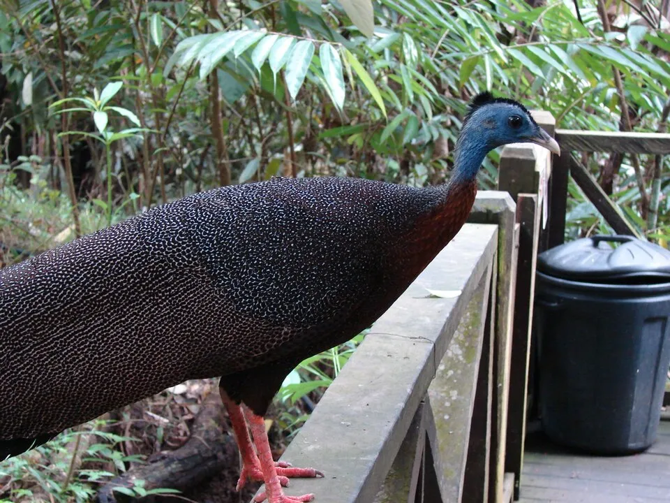
Based on occurrences aggregated by GBIF, several species are regularly recorded within the site. Among the most frequent are Neophyllomyza lii, Buceros rhinoceros (Rhinoceros Hornbill), Onthophagus mexicanus and Pycnonotus goiavier (Yellow-vented Bulbul). The full list of documented taxa is shown below.
Species to look out for

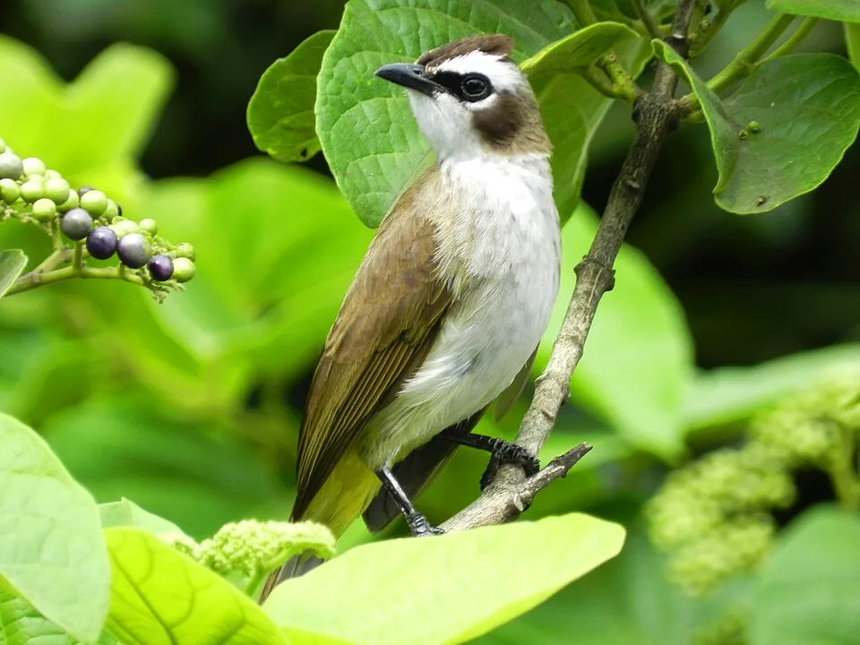
Bird
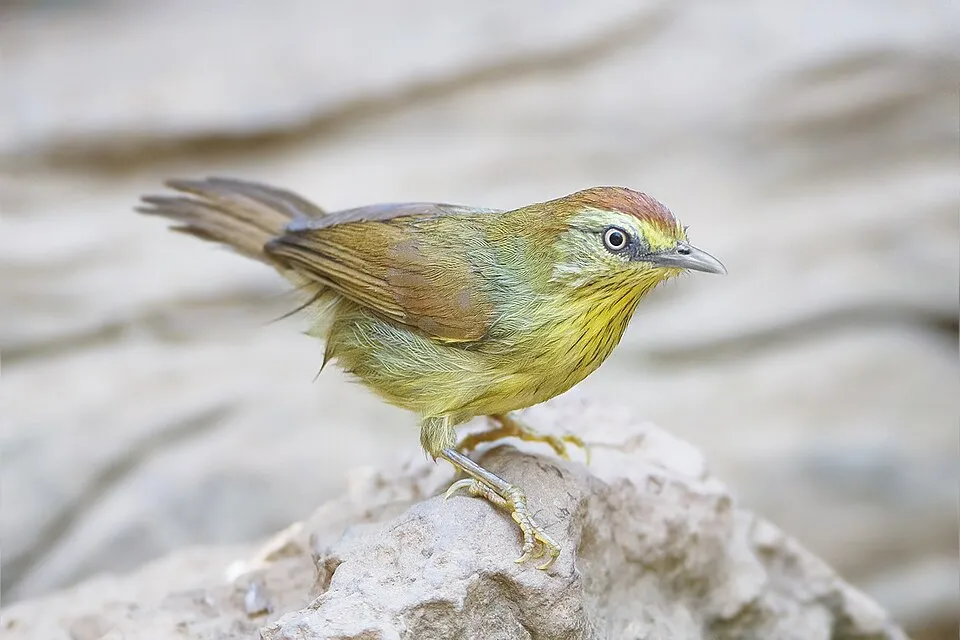
Pin-striped Tit-Babbler
Macronus gularis112 records © JJ Harrison (https://www.jjharrison.com.au/) · CC BY-SA 3.0
Observed species
Occurrences documented via GBIF; they are neither an exhaustive inventory nor proof of current presence.
- Neophyllomyza lii · 211
- Rhinoceros Hornbill · Buceros rhinoceros · 159
- Onthophagus mexicanus · 149
- Yellow-vented Bulbul · Pycnonotus goiavier · 136
- Great Argus · Argusianus argus · 128
- Pin-striped Tit-Babbler · Macronus gularis · 112
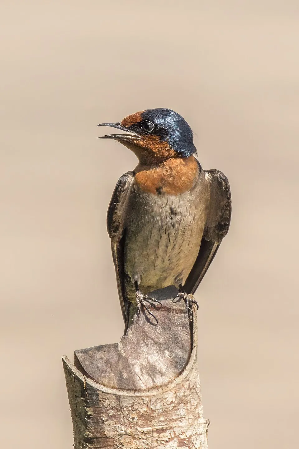
- Pacific Swallow · Hirundo javanica · 111
- Eurasian Tree Sparrow · Passer montanus · 101
- Plume-toed swiftlet · Collocalia affinis · 93
- Grey Wagtail · Motacilla cinerea · 91
- Greater Racket-tailed Drongo · Dicrurus paradiseus · 87
- Black-eared Barbet · Psilopogon duvaucelii · 85
+18 more species
- Hoogerwerf's rat · Rattus hoogerwerfi · 81
- Crimson sunbird · Aethopyga siparaja · 81
- Asian Red-eyed Bulbul · Pycnonotus brunneus · 81
- Orange-bellied Flowerpecker · Dicaeum trigonostigma · 78
- Onthophagus angustatus · 76
- Dark-necked Tailorbird · Orthotomus atrogularis · 74
- White-chested Babbler · Trichastoma rostratum · 73
- Zebra Dove · Geopelia striata · 73
- Blue-crowned Hanging Parrot · Loriculus galgulus · 72
- Tachysphex pompiliformis · 72
- Crested Serpent Eagle · Spilornis cheela · 69
- Parascatonomus aurifex · 69
- Spotted Dove · Spilopelia chinensis · 69
- Ashy Tailorbird · Orthotomus ruficeps · 66
- Fluffy-backed tit-babbler · Macronus ptilosus · 63
- Goera tarockana · 62
- Spectacled Bulbul · Rubigula erythropthalmos · 61
- Common Iora · Aegithina tiphia · 59
Records: GBIF.org (CC-BY). Names: Wikidata (CC0), GBIF. Photos: Wikimedia Commons.
Conservation challenges
The primary purpose of the site is to preserve its natural habitats and the biodiversity they support. The species recorded (Biodiversity tab) reflect its ecological value. The designations it holds frame its management and the control of land use.
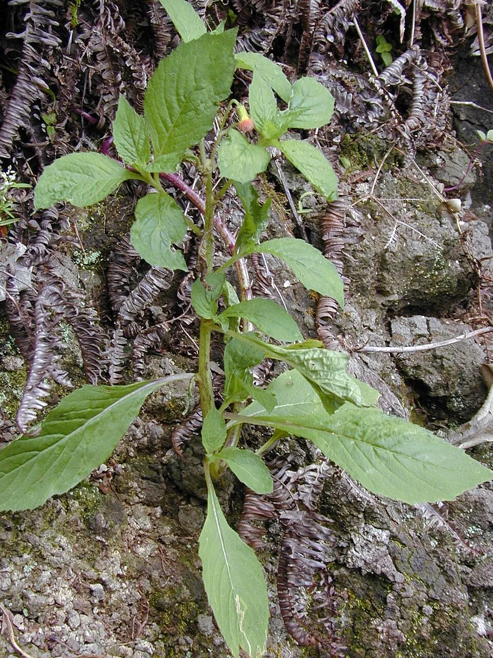
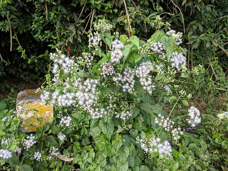
According to Global Forest Change data (University of Maryland, Global Forest Watch), about 29,690 ha of tree cover were lost within the boundary between 2001 and 2023 (4% of its area), peaking in 2010 and 2014. These losses include logging, storms and fires, and do not account for regrowth. At night, 1% of the area gives off artificial light detectable from space (NASA VIIRS Black Marble composite, 2016). Since 2000, 8 invasive alien species have been recorded within the site (GBIF observations). Among them: Miconia crenata (Koster's curse), Crassocephalum crepidioides (Redflower ragleaf) and Mikania micrantha (Bittervine).
Pressure indicators
Tree cover lost
29,690 ha
2001–2023 · 4% of the area
20012023
Light at night
1%
of the area gives off artificial light visible from space
DarkLit
Invasive alien species
8
recorded since 2000
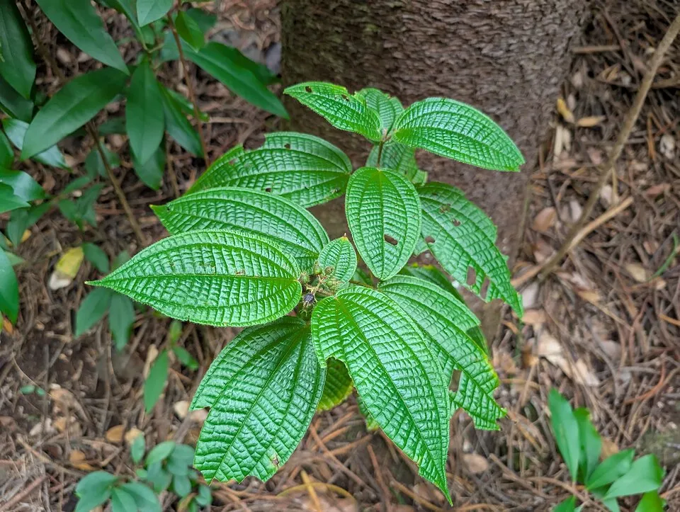 Koster's curse
 Redflower ragleaf
 Bittervine
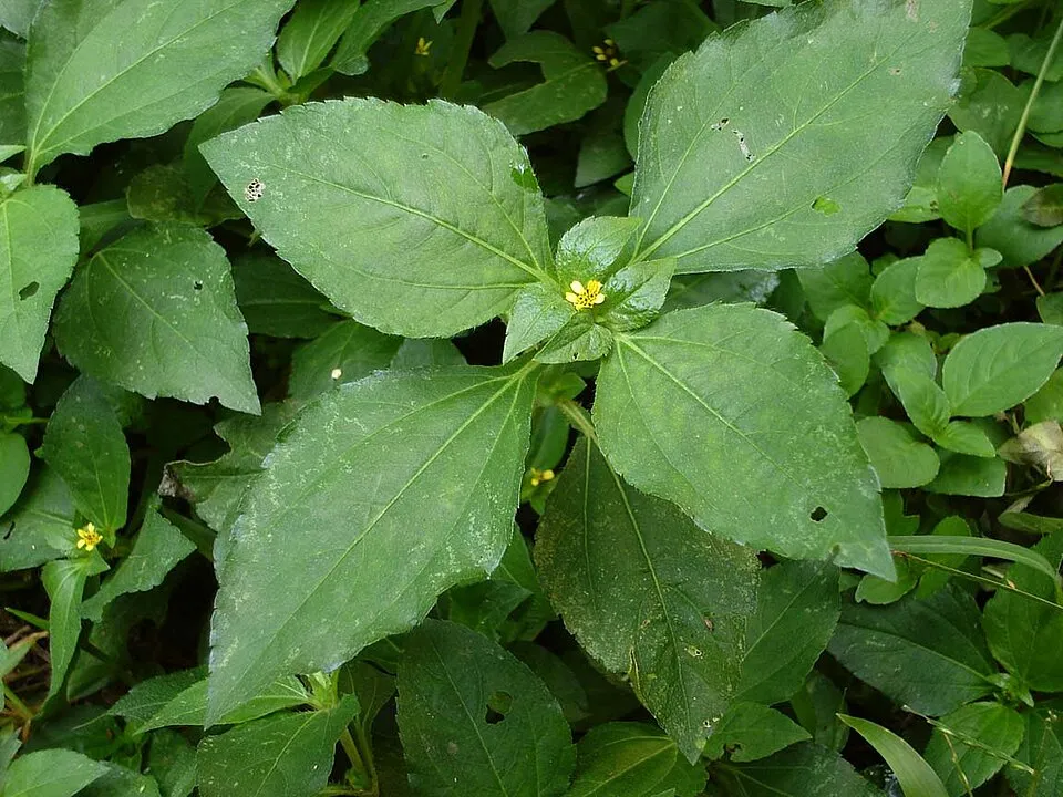 Nodeweed
 Crazy ant
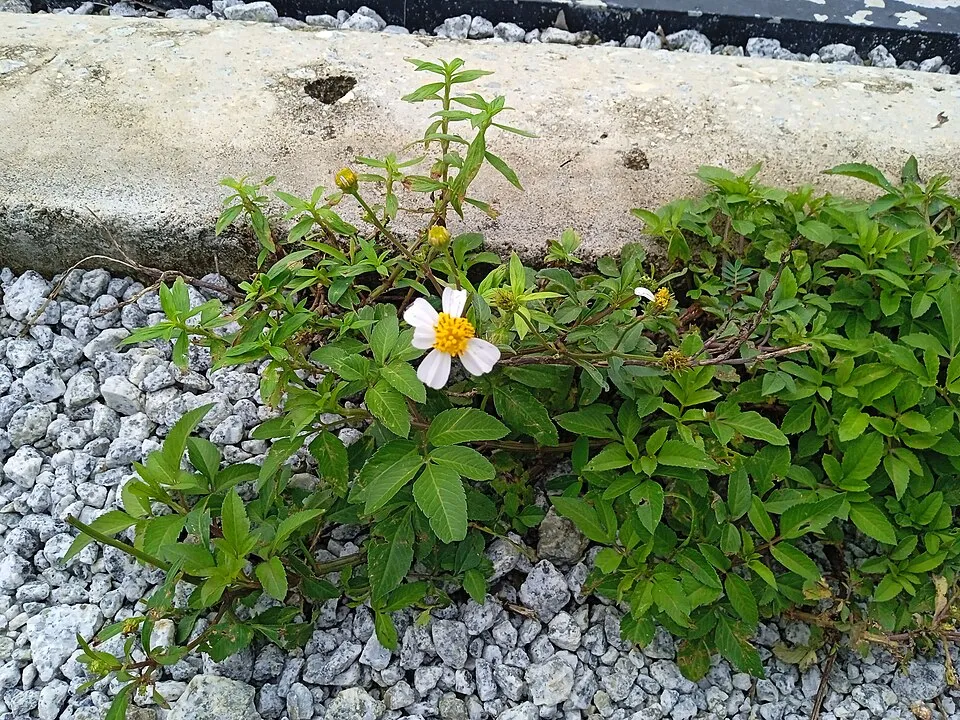 Hairy beggarticks
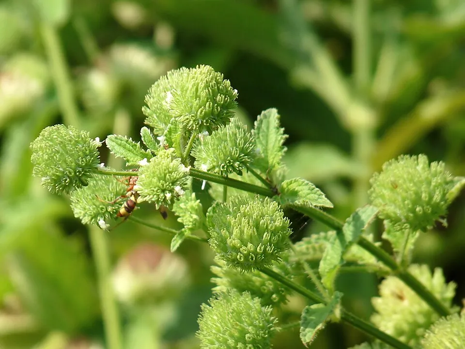 False ironwort
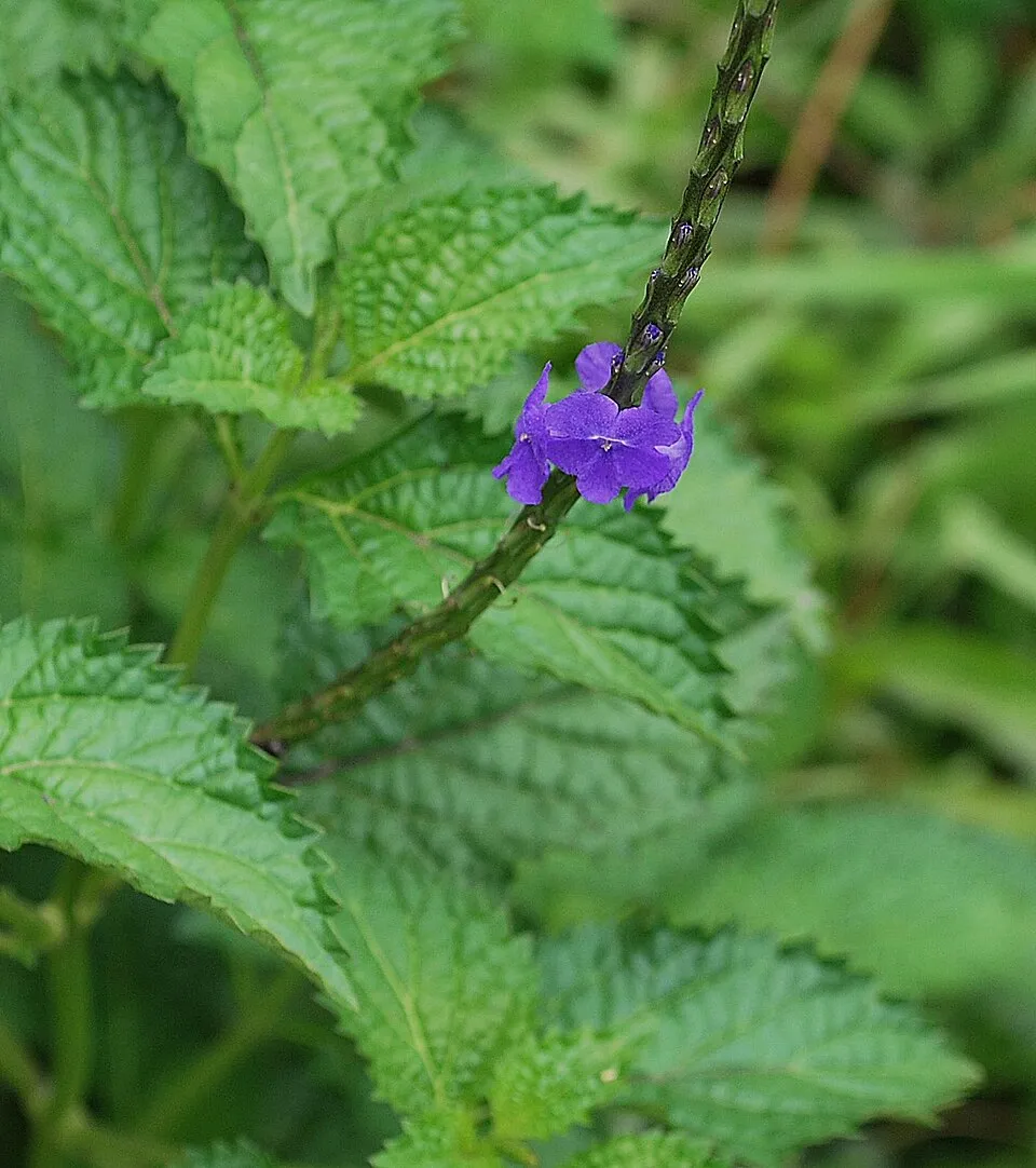 Light-blue snakeweed
Photos: Koster's curse © Damien Wallace · CC BY 4.0; Redflower ragleaf © Forest & Kim Starr · CC BY 3.0; Bittervine © Vengolis · CC BY 4.0; Nodeweed © Tauʻolunga · CC BY-SA 3.0; Crazy ant © Philipp Hoenle · CC0-1.0; Hairy beggarticks © Wiki Farazi · CC0-1.0; False ironwort © Jeevan Jose, Kerala, India · CC BY-SA 4.0; Light-blue snakeweed © Devanand Pillai · CC BY-SA 3.0
Sources: Global Forest Change (Hansen et al., University of Maryland, via Global Forest Watch, CC-BY 4.0); EFFIS, European Commission / Copernicus; NASA Black Marble 2016 (public domain); CORINE Land Cover 2018 (Copernicus) or MODIS.
Invasive alien species: Global Register of Introduced and Invasive Species (ISSG, CC BY 4.0); Union list, Regulation (EU) 1143/2014 (INBO, CC0); GBIF.org records (CC0 / CC BY 4.0), at least 2 per species.
Practical information
Cities and airport
- Binjai
29 km as the crow flies - Medan
35 km as the crow flies - Airport: Kualanamu (KNO)
48 km as the crow flies
Things to see
2 lakes and ponds
- Danau Laut Bangko
lake or pond · 22 m - Danau Marpunge
lake or pond · 1,533 m
Data: Wikidata (CC0), pending OpenStreetMap data
Access and visiting
Nearest towns of over 50,000 people, as the crow flies: Binjai (29 km) and Medan (35 km). Nearest airport: Kualanamu (KNO), about 48 km away. About 1.4 million people live within 20 km of the site boundary, 670,000 of them within 10 km; some 13,000 people are estimated to live inside (GHSL estimate, 2020). This population has grown by about 16% since 2000. To see: 2 lakes and ponds, including Danau Laut Bangko (22 m) and Danau Marpunge (1,533 m). To plan a visit (access, opening periods, visitor rules), it is best to consult the official information from the managing body and the official website listed in this page's sources.
Source: Wikidata (CC0), November 2026.
When to visit
Best time to visit: from January to September, with average temperatures of 13 to 15 °C and moderate rainfall. These averages apply to the site's representative point (2,521 m); higher up it is markedly cooler and snow lasts longer. Wildlife records published on GBIF peak for birds (February and March), plants (August), butterflies and moths (December and January), dragonflies (July) and mammals (July). These peaks also reflect when observers are most active.
Source: Copernicus ERA5-Land (C3S), monthly averages 1996–2025 at the representative point, temperatures adjusted for elevation.
Contains modified Copernicus Climate Change Service information 2026. Neither the European Commission nor ECMWF is responsible for any use that may be made of the Copernicus information or data it contains.
Wildlife records calendar
JFMAMJJASOND
Birds
Plants
Butterflies & moths
Dragonflies
Mammals
Monthly records published on GBIF (CC-BY), relative to the busiest month; also reflects observer activity.
Gallery
© User: (WT-shared) Velorian at wts wikivoyage · CC BY-SA 1.0
© gbohne from Berlin, Germany · CC BY-SA 2.0
© Ganjarmustika1904 · CC BY-SA 4.0
© gbohne · CC BY-SA 2.0
© Juleebrarian · CC BY-SA 4.0
© Junaidi Hanafiah · CC BY-SA 4.0
Sources and licences
- Wikidata: Q1335616
- OpenStreetMap: relation 19979673
- Official website: http://gunungleuser.or.id/
- Wikipedia: en.wikipedia.org/wiki/Gunung_Leuser_National_Park
- WDPA: 1251
References
- cds.climate.copernicus.eu: climate · CC-BY-4.0
- registry.opendata.aws: elevation of the reference point, detailed relief · PD
- lpdaac.usgs.gov: land cover · PD
- doi.org: population around the site · CC-BY-4.0
- naturalearthdata.com: sea share · PD
- wikidata.org: official area, highest point, establishment date, official name, nearby cities and airport, access and peaks, lake depths, places to see, official website · CC0-1.0
- en.eurovelo.com: EuroVelo cycle routes · ODbL-1.0
- cycling.waymarkedtrails.org: cycle routes · ODbL-1.0
- opentopodata.org: elevations · PD
- globalforestwatch.org: tree cover loss · CC-BY-4.0
- gbif.org: seasonality of sightings, invasive alien species, observed species · CC-BY-4.0
- earthobservatory.nasa.gov: night light · PD
- nsidc.org: snow cover · PD
- wikidata.org: Wikipedia article · CC-BY-SA-4.0
Data © OpenStreetMap contributors (ODbL), Wikidata (CC0) and the sources cited.