Australia · Terrestrial
Hampton National Park
National park of 38,800 hectares in Australia, established in 2006.
Overview
National park of 38,800 hectares in Australia, established in 2006.
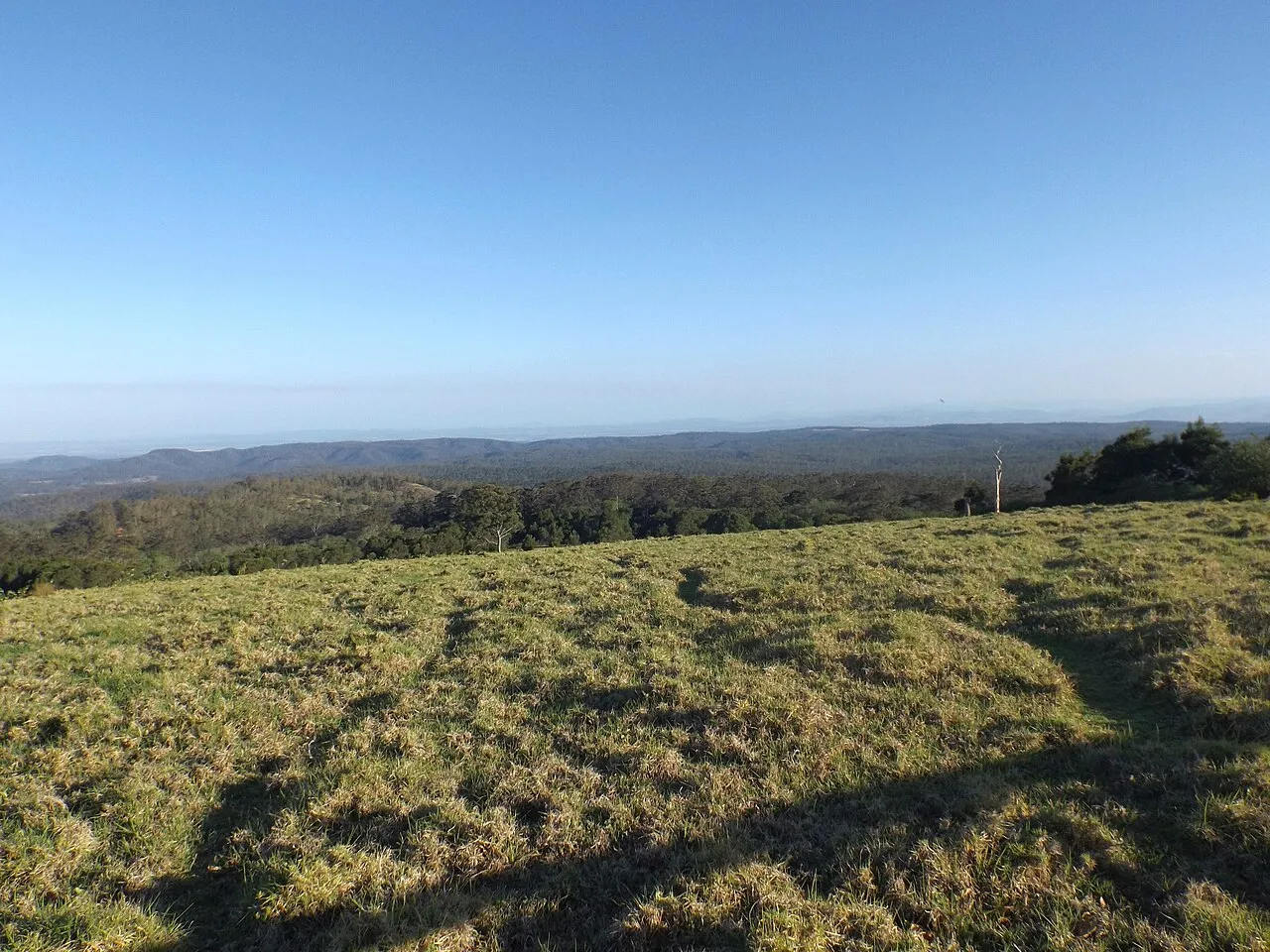
Hampton National Park is located in Australia (Oceania). It is a predominantly terrestrial area. Established in 2006, it covers about 38,800 hectares.
Frequently asked questions
Where is Hampton National Park?
In Australia (Oceania). Representative point: 27.3522° S, 152.0745° E.
How large is Hampton National Park?
About 38,800 hectares (388 km²). It is the 131st largest of the 678 national parks in Australia covered by Parkavela.
When was Hampton National Park established?
In 2006.
What habitats and landscapes does Hampton National Park include?
A terrestrial area.
When is the best time to visit Hampton National Park?
Best time to visit: from April to October, with average temperatures of 10 to 18 °C and moderate rainfall.
What is the nearest large city to Hampton National Park?
Nearest towns of over 50,000 people, as the crow flies: Toowoomba (25 km) and Ipswich (74 km). Nearest airport: Toowoomba City Aerodrome (TWB), about 26 km away.
How can I reach Hampton National Park by train?
The nearest railway station is Murphys Creek, about 12 km from the site boundary.
Where can I get visitor information on site?
Hampton Visitor Information Centre.
Which species can be seen in Hampton National Park?
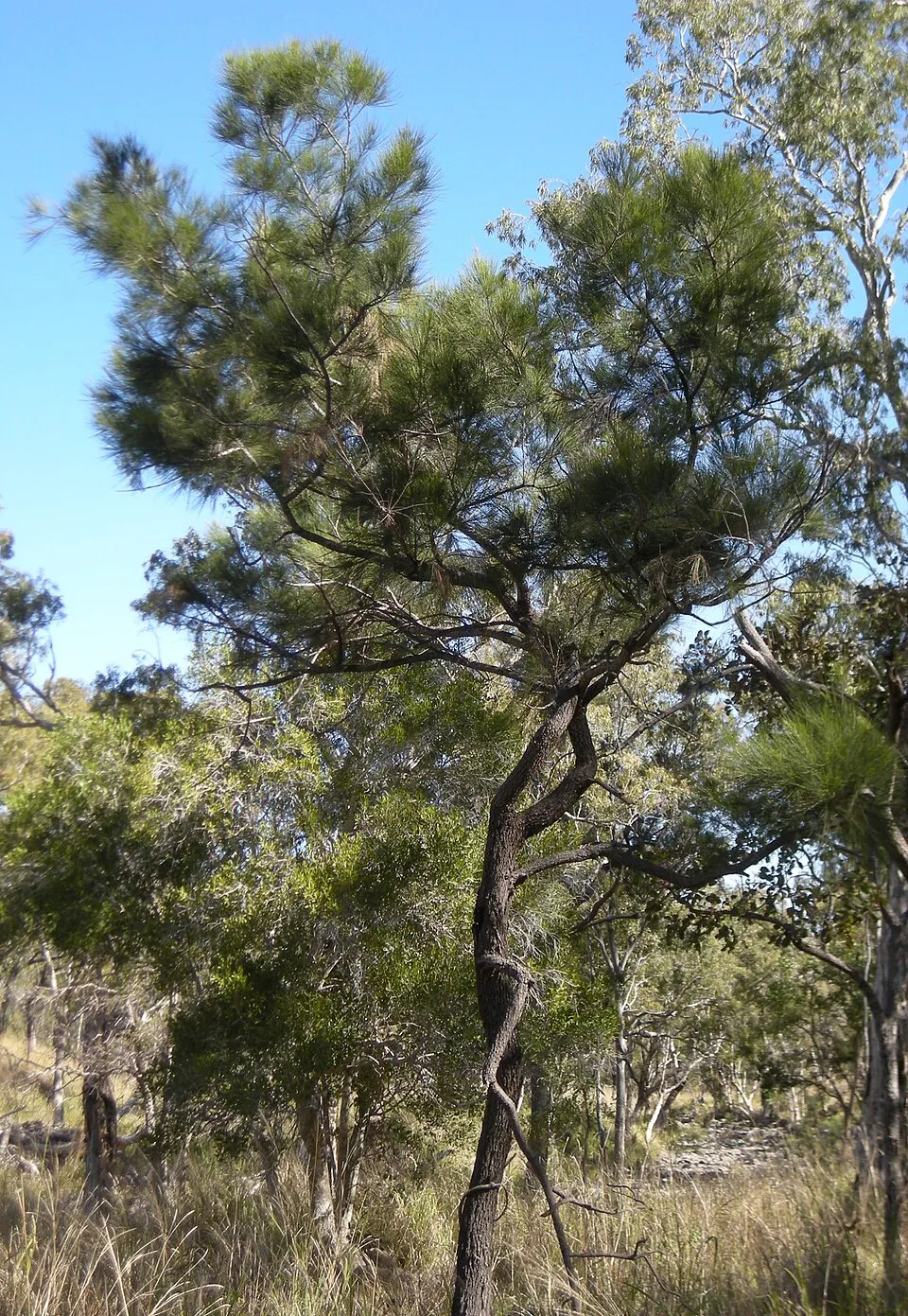
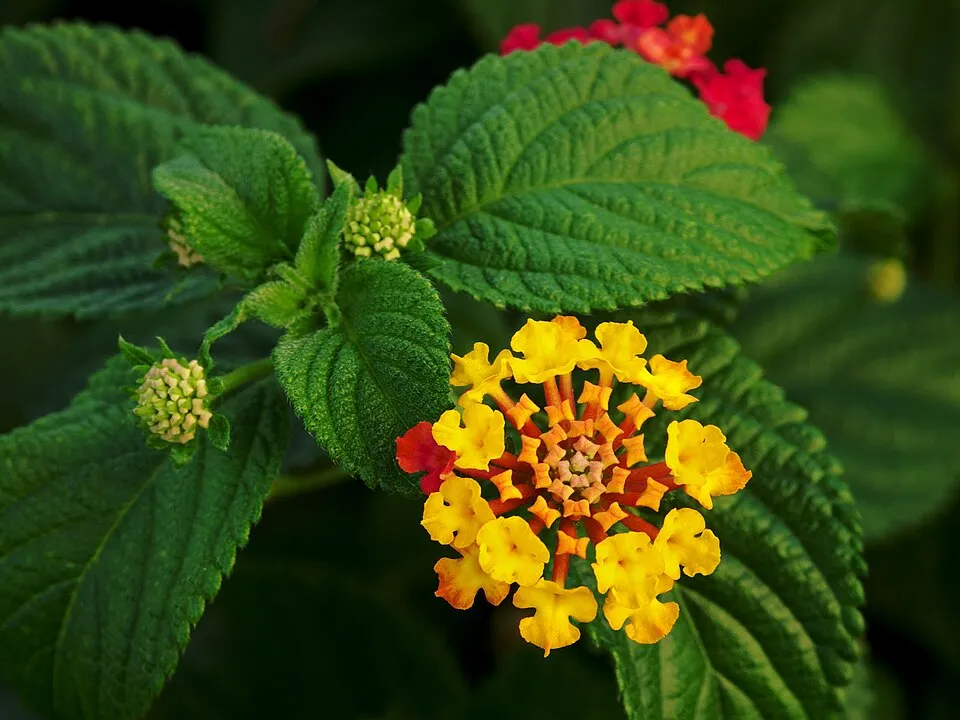
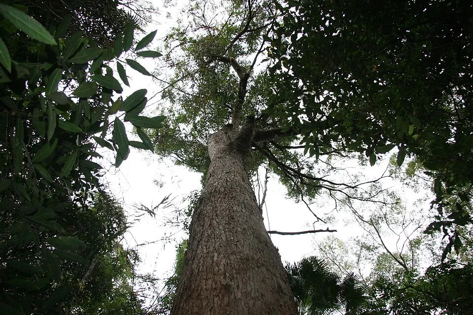
Among the species most often recorded on GBIF are Allocasuarina torulosa (Forest-oak), Lantana camara (Lantana), Eucalyptus microcorys (Australian tallowwood) and Eucalyptus pilularis (Blackbutt).
© OpenStreetMap
Download the boundary: GeoJSON · GPX Boundary © OpenStreetMap contributors (ODbL).
Geography
The representative point of the site lies at around 720 m above sea level. Over the 1996–2025 period, the mean annual temperature is about 16.5 °C and total precipitation reaches roughly 829 mm per year. The warmest month is usually January, the coolest July, and the wettest December.
Area
- Area
- 38,800 ha
- Elevation
- 720 m
- Coordinates
- -27.3522, 152.0745
Climate
● Mean temperature (°C) · ▮ Precipitation (mm)
Source: Copernicus ERA5-Land (C3S, doi:10.24381/cds.68d2bb30), monthly averages 1996–2025 interpolated to the representative point, temperatures adjusted for elevation.
Contains modified Copernicus Climate Change Service information 2026. Neither the European Commission nor ECMWF is responsible for any use that may be made of the Copernicus information or data it contains.
Biodiversity
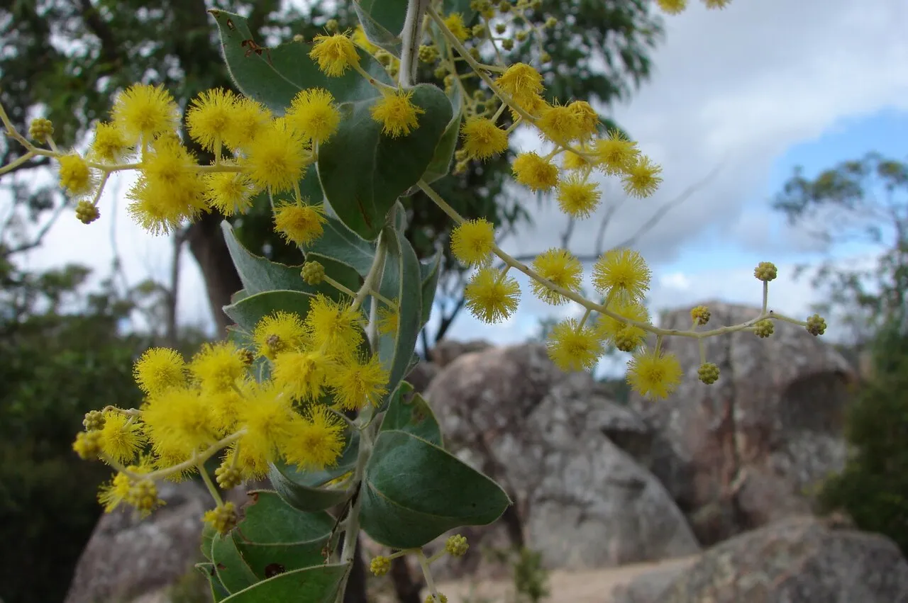
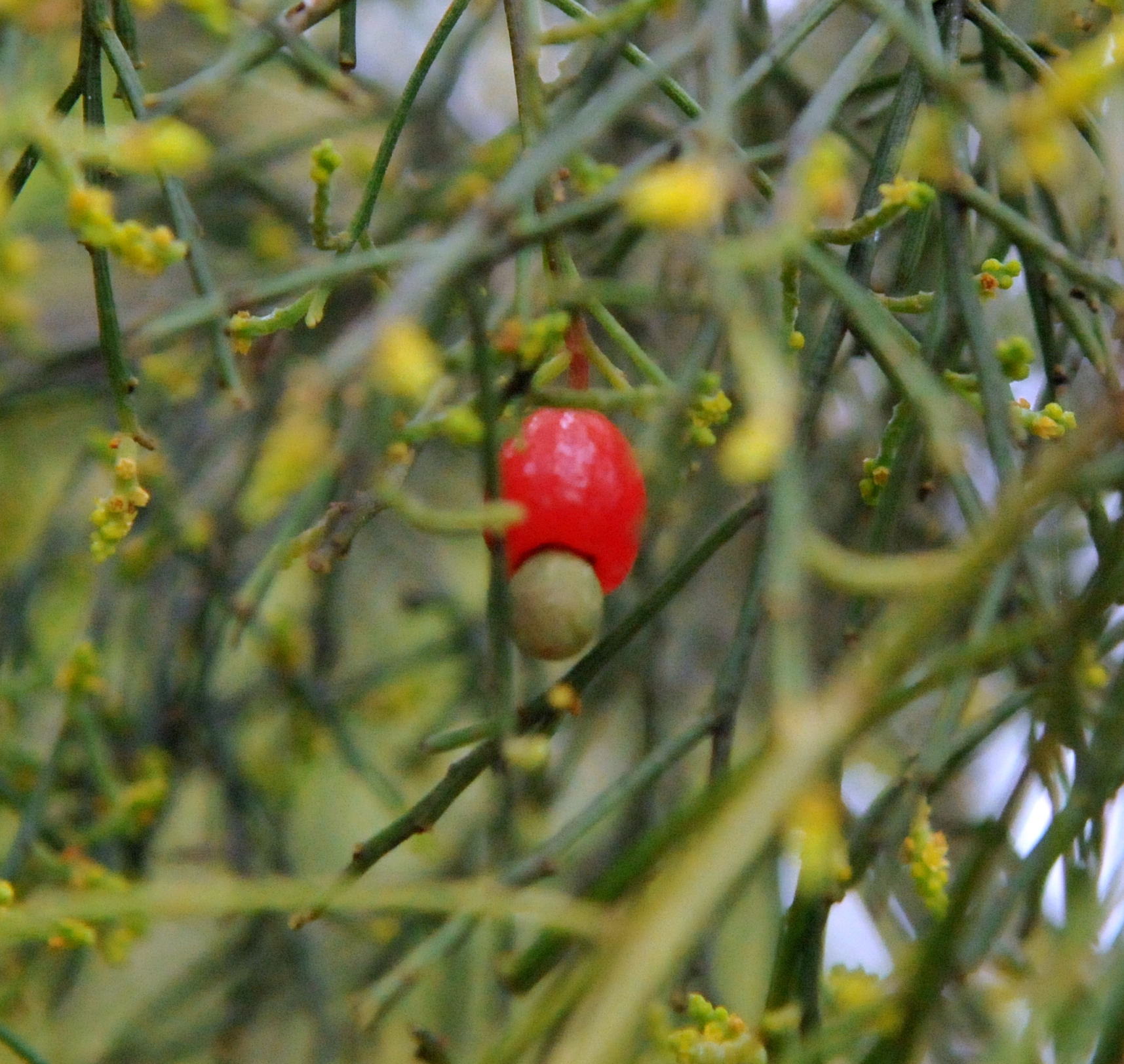
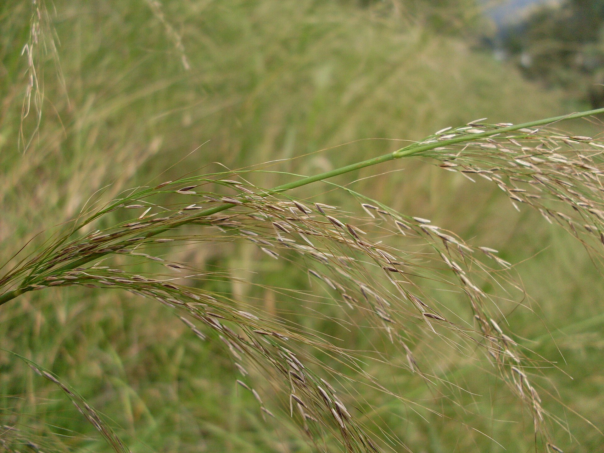
Based on occurrences aggregated by GBIF, several species are regularly recorded within the site. Among the most frequent are Allocasuarina torulosa (Forest-oak), Lantana camara (Lantana), Eucalyptus microcorys (Australian tallowwood) and Eucalyptus pilularis (Blackbutt). The full list of documented taxa is shown below.
Species to look out for


Observed species
Occurrences documented via GBIF; they are neither an exhaustive inventory nor proof of current presence.
- Forest-oak · Allocasuarina torulosa · 2
- Lantana · Lantana camara · 2
- Australian tallowwood · Eucalyptus microcorys · 2
- Blackbutt · Eucalyptus pilularis · 2
- Coffee bush · Breynia oblongifolia · 2
- Narrow-leaved Orangebark · Denhamia silvestris · 2
- Meadow ricegrass · Microlaena stipoides · 1
- Kangaroo grass · Themeda triandra · 1
- Barbwire grass · Cymbopogon refractus · 1
- Round sawsedge · Gahnia aspera · 1
- Coral-pea · Hardenbergia violacea · 1
- Australian indigo · Indigofera australis · 1
+12 more species
- Screw-pod wattle · Acacia implexa · 1
- Oleander Wattle · Acacia neriifolia · 1
- Trailing raspberry · Rubus parvifolius · 1
- Poison Pimelea · Pimelea neoanglica · 1
- Broad-leaf pennywort · Hydrocotyle acutiloba · 1
- Brisbane pennyroyal · Mentha satureioides · 1
- Red bloodwood · Corymbia gummifera · 1
- Tiebush · Wikstroemia indica · 1
- Bermudagrass · Cynodon dactylon · 1
- Snake vine · Stephania japonica · 1
- Apple-berry · Billardiera scandens · 1
- Slender western-rosemary · Westringia eremicola · 1
Records: GBIF.org (CC-BY). Names: Wikidata (CC0), GBIF. Photos: Wikimedia Commons.
Conservation challenges
The primary purpose of the site is to preserve its natural habitats and the biodiversity they support. The species recorded (Biodiversity tab) reflect its ecological value. Its status as a national park sets the regulatory framework for its protection.
Practical information
Cities and airport
- Toowoomba
25 km as the crow flies - Ipswich
74 km as the crow flies - Airport: Toowoomba City Aerodrome (TWB)
26 km as the crow flies
Visitor information
- Hampton Visitor Information Centre
< 1 km from the site boundary
Data © OpenStreetMap contributors (ODbL) · Wikidata (CC0)
Access and visiting
The nearest railway station is Murphys Creek, about 12 km from the site boundary. Nearest towns of over 50,000 people, as the crow flies: Toowoomba (25 km) and Ipswich (74 km). Nearest airport: Toowoomba City Aerodrome (TWB), about 26 km away. About 22,000 people live within 20 km of the site boundary, 2,100 of them within 10 km; the site itself is virtually uninhabited (GHSL estimate, 2020). This population has grown by about 82% since 2000. Visitor information on site: Hampton Visitor Information Centre. To plan a visit (access, opening periods, visitor rules), it is best to consult the official information from the managing body and the official website listed in this page's sources.
Source: OpenStreetMap (ODbL), Wikidata (CC0), November 2026.
When to visit
Best time to visit: from April to October, with average temperatures of 10 to 18 °C and moderate rainfall. Precipitation peaks from December to February (up to 110 mm per month). Day length ranges from about 10 h 25 min in June to 13 h 52 min in December.
Source: Copernicus ERA5-Land (C3S), monthly averages 1996–2025 at the representative point, temperatures adjusted for elevation.
Contains modified Copernicus Climate Change Service information 2026. Neither the European Commission nor ECMWF is responsible for any use that may be made of the Copernicus information or data it contains.
Gallery
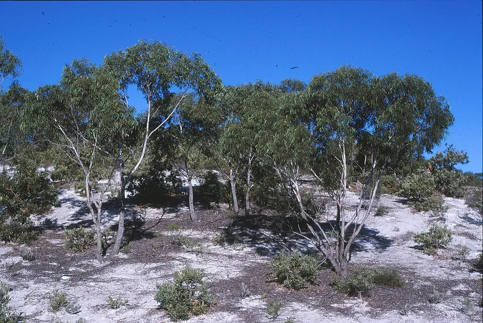
© Mike Bayly · CC BY-SA 2.5
Sources and licences
- Wikidata: Q2711184
- Wikipedia: de.wikipedia.org/wiki/Hampton-Nationalpark
- WDPA: 354873
References
- cds.climate.copernicus.eu: climate · CC-BY-4.0
- registry.opendata.aws: elevation of the reference point, detailed relief · PD
- land.copernicus.eu: land cover · COPERNICUS
- doi.org: population around the site · CC-BY-4.0
- naturalearthdata.com: sea share · PD
- wikidata.org: official area, highest point, establishment date, protected heritage, nearby cities and airport, lake depths · CC0-1.0
- en.eurovelo.com: EuroVelo cycle routes · ODbL-1.0
- cycling.waymarkedtrails.org: cycle routes · ODbL-1.0
- opentopodata.org: elevations · PD
- globalforestwatch.org: tree cover loss · CC-BY-4.0
- gbif.org: seasonality of sightings, invasive alien species, observed species · CC-BY-4.0
- openstreetmap.org: official name, access and peaks, trail difficulty · ODbL-1.0
- nsidc.org: snow cover · PD
- wikidata.org: Wikipedia article · CC-BY-SA-4.0
Data © OpenStreetMap contributors (ODbL), Wikidata (CC0) and the sources cited.