Australia · Terrestrial
Hell Hole Gorge National Park
National park of 12,700 hectares in Australia, established in 1992.
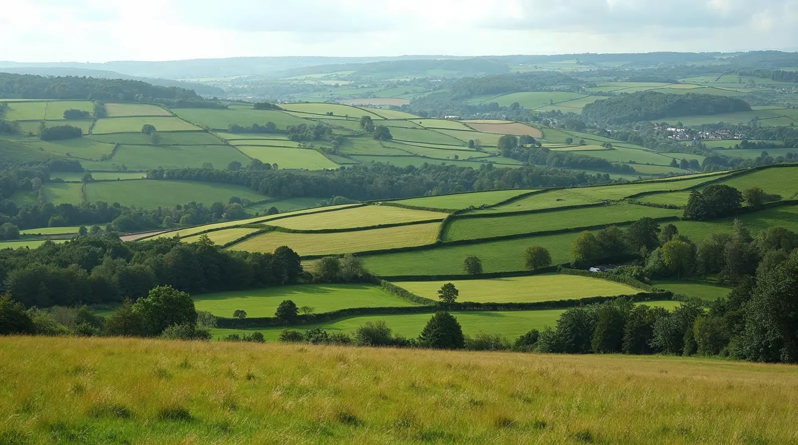
AI-generated illustration (Magnific) · typical landscape, not a photo of this place
Overview
National park of 12,700 hectares in Australia, established in 1992.
Hell Hole Gorge National Park is located in Australia (Oceania). It is a predominantly terrestrial area. Established in 1992, it covers about 12,700 hectares. The site is managed by Queensland Parks and Wildlife Service.
In our collections
Frequently asked questions
Where is Hell Hole Gorge National Park?
In Australia (Oceania). Representative point: 25.5375° S, 144.1547° E.
How large is Hell Hole Gorge National Park?
About 12,700 hectares (127 km²). It is the 261st largest of the 678 national parks in Australia covered by Parkavela.
When was Hell Hole Gorge National Park established?
In 1992.
What habitats and landscapes does Hell Hole Gorge National Park include?
A terrestrial area, where land cover is dominated by heath and scrub (100%).
When is the best time to visit Hell Hole Gorge National Park?
Mildest period: from December to February, with average temperatures of 29 to 31 °C.
Which species can be seen in Hell Hole Gorge National Park?
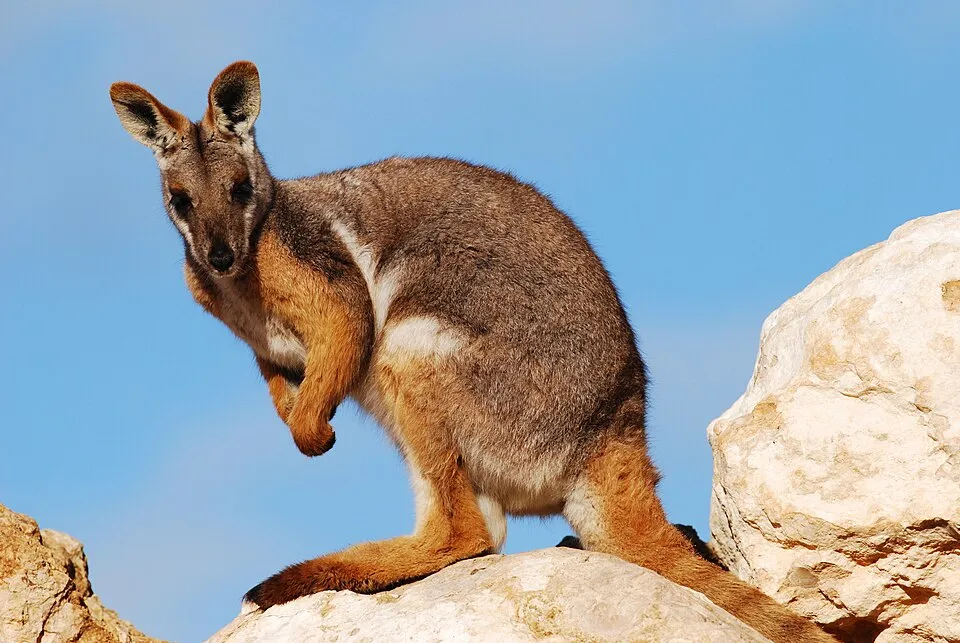
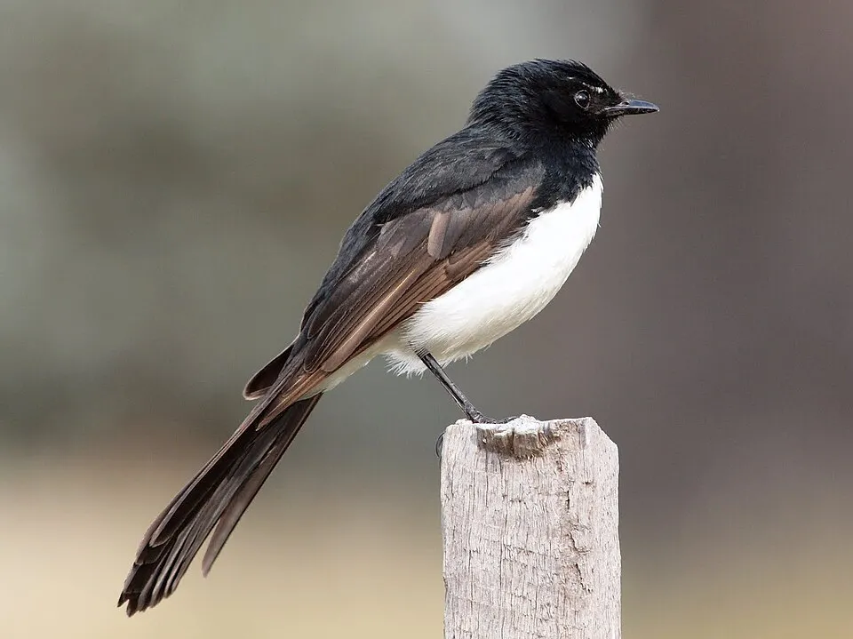
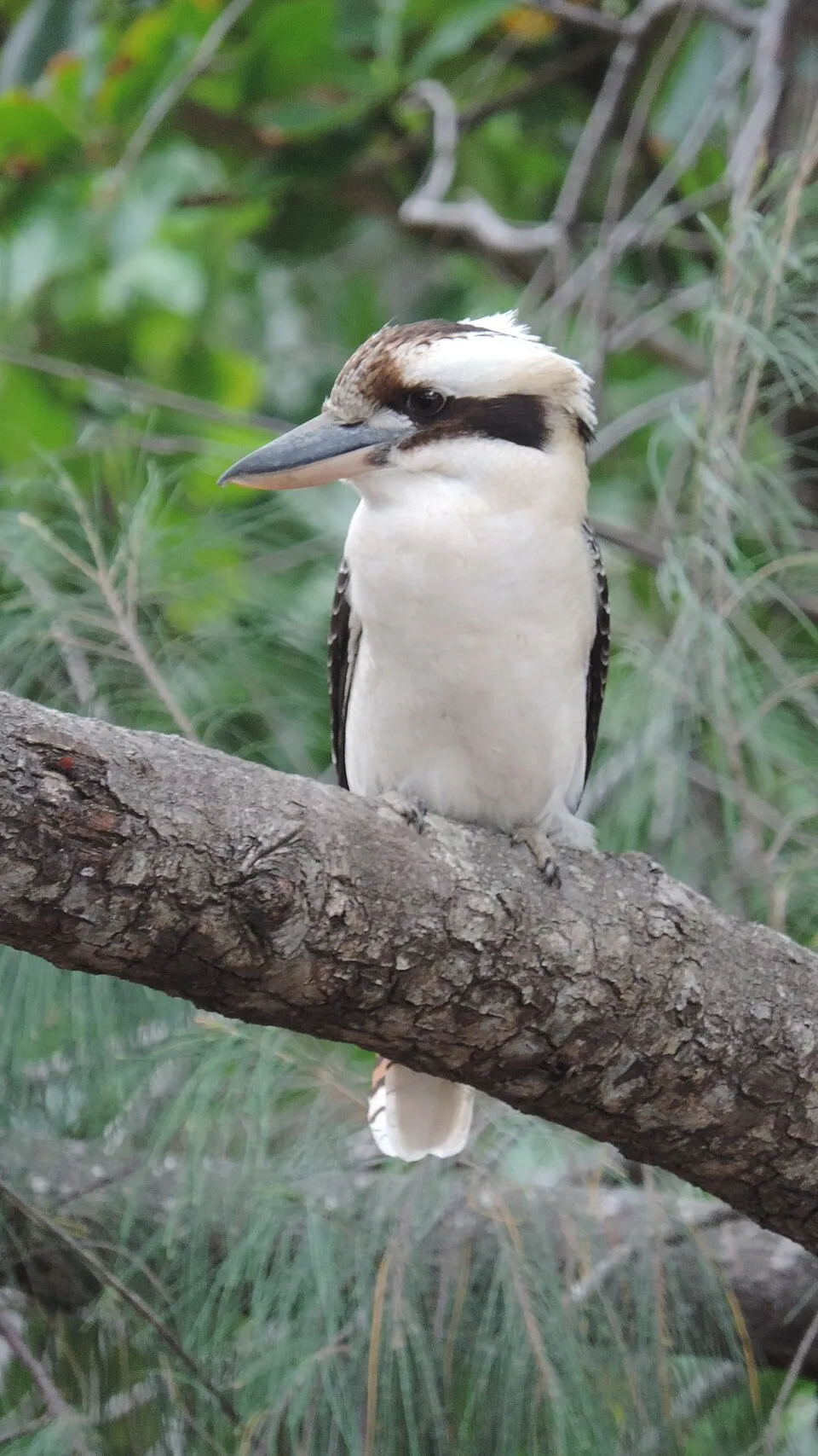
Among the species most often recorded on GBIF are Tachyglossus aculeatus (Short-beaked echidna), Petrogale xanthopus (Yellow-footed rock-wallaby), Rhipidura leucophrys (Willie Wagtail) and Dacelo novaeguineae (Laughing Kookaburra).
Who manages Hell Hole Gorge National Park?
Queensland Parks and Wildlife Service.
© OpenStreetMap
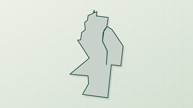
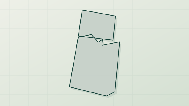
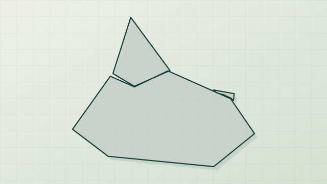
Download the boundary: GeoJSON · GPX Boundary © OpenStreetMap contributors (ODbL).
Geography
The representative point of the site lies at around 253 m above sea level. Over the 1996–2025 period, the mean annual temperature is about 23.4 °C and total precipitation reaches roughly 344 mm per year. The warmest month is usually January, the coolest July, and the wettest January.
Area
- Area
- 12,700 ha
- Elevation
- 253 m
- Coordinates
- -25.5375, 144.1547
Climate
● Mean temperature (°C) · ▮ Precipitation (mm)
Source: Copernicus ERA5-Land (C3S, doi:10.24381/cds.68d2bb30), monthly averages 1996–2025 interpolated to the representative point, temperatures adjusted for elevation.
Contains modified Copernicus Climate Change Service information 2026. Neither the European Commission nor ECMWF is responsible for any use that may be made of the Copernicus information or data it contains.
Natural habitats
According to the global MODIS land cover (NASA, 2024), the site is mainly made up of heath and scrub (100%). The land is almost flat (mean slope under 2°).
Biodiversity
Based on occurrences aggregated by GBIF, several species are regularly recorded within the site. Among the most frequent are Tachyglossus aculeatus (Short-beaked echidna), Petrogale xanthopus (Yellow-footed rock-wallaby), Rhipidura leucophrys (Willie Wagtail) and Dacelo novaeguineae (Laughing Kookaburra). The full list of documented taxa is shown below.
Species to look out for


Bird
Australian Raven
Corvus coronoides11 records © JJ Harrison (https://www.jjharrison.com.au/) · CC BY-SA 3.0
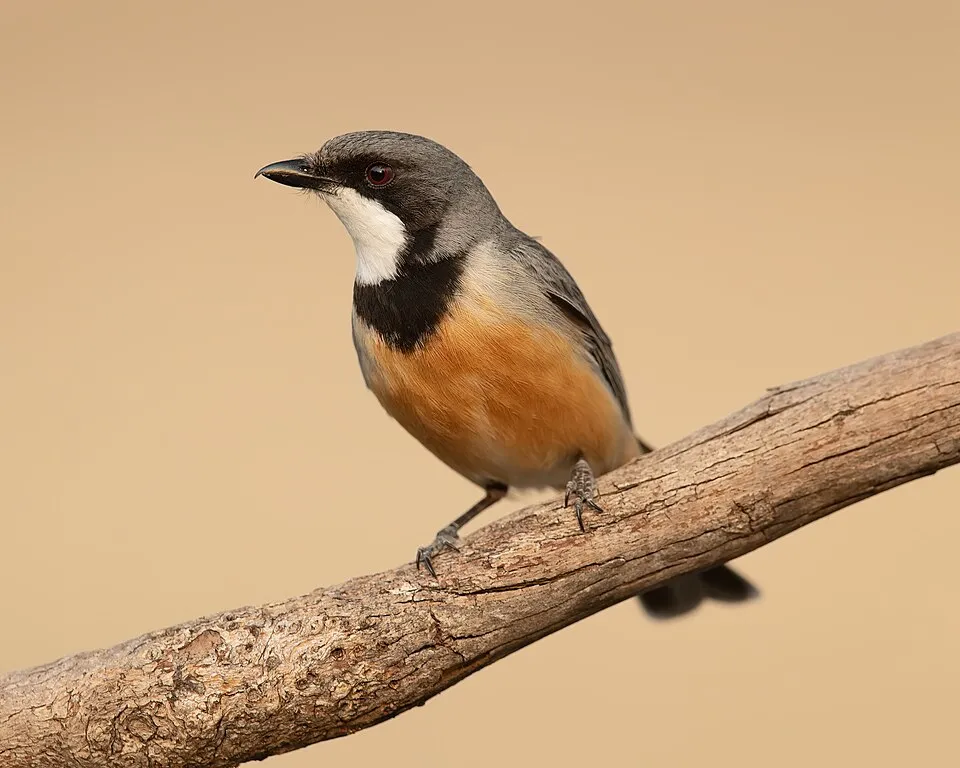
Bird
Rufous Whistler
Pachycephala rufiventris11 records © JJ Harrison (https://www.jjharrison.com.au/) · CC BY-SA 4.0
Observed species
Occurrences documented via GBIF; they are neither an exhaustive inventory nor proof of current presence.
- Short-beaked echidna · Tachyglossus aculeatus · 20
- Yellow-footed rock-wallaby · Petrogale xanthopus · 16
- Willie Wagtail · Rhipidura leucophrys · 14
- Laughing Kookaburra · Dacelo novaeguineae · 12
- Whistling Kite · Haliastur sphenurus · 11
- Australian Raven · Corvus coronoides · 11
- Rufous Whistler · Pachycephala rufiventris · 11
- Little Corella · Cacatua sanguinea · 10
- Red-tailed Black Cockatoo · Calyptorhynchus banksii · 10
- White-plumed Honeyeater · Ptilotula penicillata · 9
- Australian Ringneck · Barnardius zonarius · 8
- Striated Pardalote · Pardalotus striatus · 8
+18 more species
- Red-capped Robin · Petroica goodenovii · 8
- Grey Fantail · Rhipidura albiscapa · 8
- Rakali · Hydromys chrysogaster · 7
- Grey Shrikethrush · Colluricincla harmonica · 7
- Magpie-lark · Grallina cyanoleuca · 7
- Splendid Fairywren · Malurus splendens · 7
- Chestnut-breasted Quail-thrush · Cinclosoma castaneothorax · 7
- Australasian Darter · Anhinga novaehollandiae · 6
- Restless Flycatcher · Myiagra inquieta · 6
- Black-faced Cuckoo-shrike · Coracina novaehollandiae · 6
- Hooded Robin · Melanodryas cucullata · 6
- Inland Thornbill · Acanthiza apicalis · 6
- Sacred Kingfisher · Todiramphus sanctus · 5
- Little Friarbird · Philemon citreogularis · 5
- Brown Honeyeater · Lichmera indistincta · 5
- Bar-shouldered Dove · Geopelia humeralis · 5
- Crested Bellbird · Oreoica gutturalis · 5
- Chestnut-rumped Thornbill · Acanthiza uropygialis · 5
Records: GBIF.org (CC-BY). Names: Wikidata (CC0), GBIF. Photos: Wikimedia Commons.
Conservation challenges
The primary purpose of the site is to preserve its natural habitats and the biodiversity they support. The species recorded (Biodiversity tab) reflect its ecological value. Its status as a national park sets the regulatory framework for its protection.
At night, the area gives off virtually no artificial light detectable from space (NASA VIIRS Black Marble composite, 2016).
Pressure indicators
Light at night
0%
of the area gives off artificial light visible from space
DarkLit
Sources: Global Forest Change (Hansen et al., University of Maryland, via Global Forest Watch, CC-BY 4.0); EFFIS, European Commission / Copernicus; NASA Black Marble 2016 (public domain); CORINE Land Cover 2018 (Copernicus) or MODIS.
Access and visiting
To plan a visit (access, opening periods, visitor rules), it is best to consult the official information from the managing body (Queensland Parks and Wildlife Service) and the official website listed in this page's sources.
When to visit
Mildest period: from December to February, with average temperatures of 29 to 31 °C. Day length ranges from about 10 h 33 min in June to 13 h 43 min in December. Wildlife records published on GBIF peak for birds (July) and plants (August). These peaks also reflect when observers are most active.
Source: Copernicus ERA5-Land (C3S), monthly averages 1996–2025 at the representative point, temperatures adjusted for elevation.
Contains modified Copernicus Climate Change Service information 2026. Neither the European Commission nor ECMWF is responsible for any use that may be made of the Copernicus information or data it contains.
Wildlife records calendar
JFMAMJJASOND
Birds
Plants
Monthly records published on GBIF (CC-BY), relative to the busiest month; also reflects observer activity.
Sources and licences
- Wikidata: Q1602599
- OpenStreetMap: relation 8205759
- Wikipedia: en.wikipedia.org/wiki/Hell_Hole_Gorge_National_Park
- WDPA: 64393
References
- cds.climate.copernicus.eu: climate · CC-BY-4.0
- registry.opendata.aws: elevation of the reference point, detailed relief · PD
- lpdaac.usgs.gov: land cover · PD
- doi.org: population around the site · CC-BY-4.0
- naturalearthdata.com: sea share · PD
- wikidata.org: official area, highest point, establishment date, protected heritage, managing body, nearby cities and airport, access and peaks, lake depths, places to see · CC0-1.0
- en.eurovelo.com: EuroVelo cycle routes · ODbL-1.0
- cycling.waymarkedtrails.org: cycle routes · ODbL-1.0
- opentopodata.org: elevations · PD
- globalforestwatch.org: tree cover loss · CC-BY-4.0
- gbif.org: seasonality of sightings, invasive alien species, observed species · CC-BY-4.0
- openstreetmap.org: official name, access and peaks · ODbL-1.0
- earthobservatory.nasa.gov: night light · PD
- nsidc.org: snow cover · PD
- wikidata.org: Wikipedia article · CC-BY-SA-4.0
Data © OpenStreetMap contributors (ODbL), Wikidata (CC0) and the sources cited.