Indonesia · Marine
Karimunjawa National Park
National park of 110,117 hectares in Indonesia, established in 1986.
Overview
National park of 110,117 hectares in Indonesia, established in 1986.
Karimunjawa National Park is located in Indonesia (Asia). It is a predominantly marine area. Established in 1986, it covers about 110,117 hectares.
Frequently asked questions
Where is Karimunjawa National Park?
In Indonesia (Asia). Representative point: 5.8167° S, 110.4000° E.
How large is Karimunjawa National Park?
About 110,117 hectares (1,101 km²). It is the 30th largest of the 54 national parks in Indonesia covered by Parkavela.
When was Karimunjawa National Park established?
In 1986.
What habitats and landscapes does Karimunjawa National Park include?
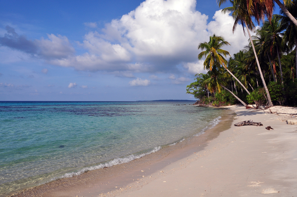
A marine area, with coral reefs.
When is the best time to visit Karimunjawa National Park?
Best time to visit: the dry season, from June to September, with less than 100 mm of rain per month.
What is the nearest airport to Karimunjawa National Park?
Nearest airport: Jenderal Ahmad Yani (SRG), about 117 km away.
Which species can be seen in Karimunjawa National Park?
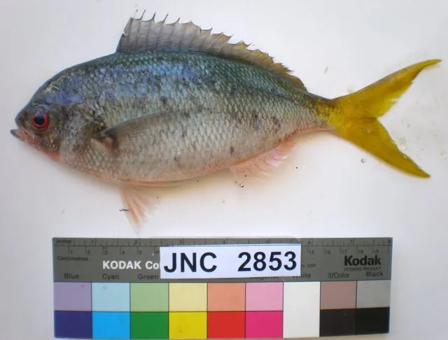
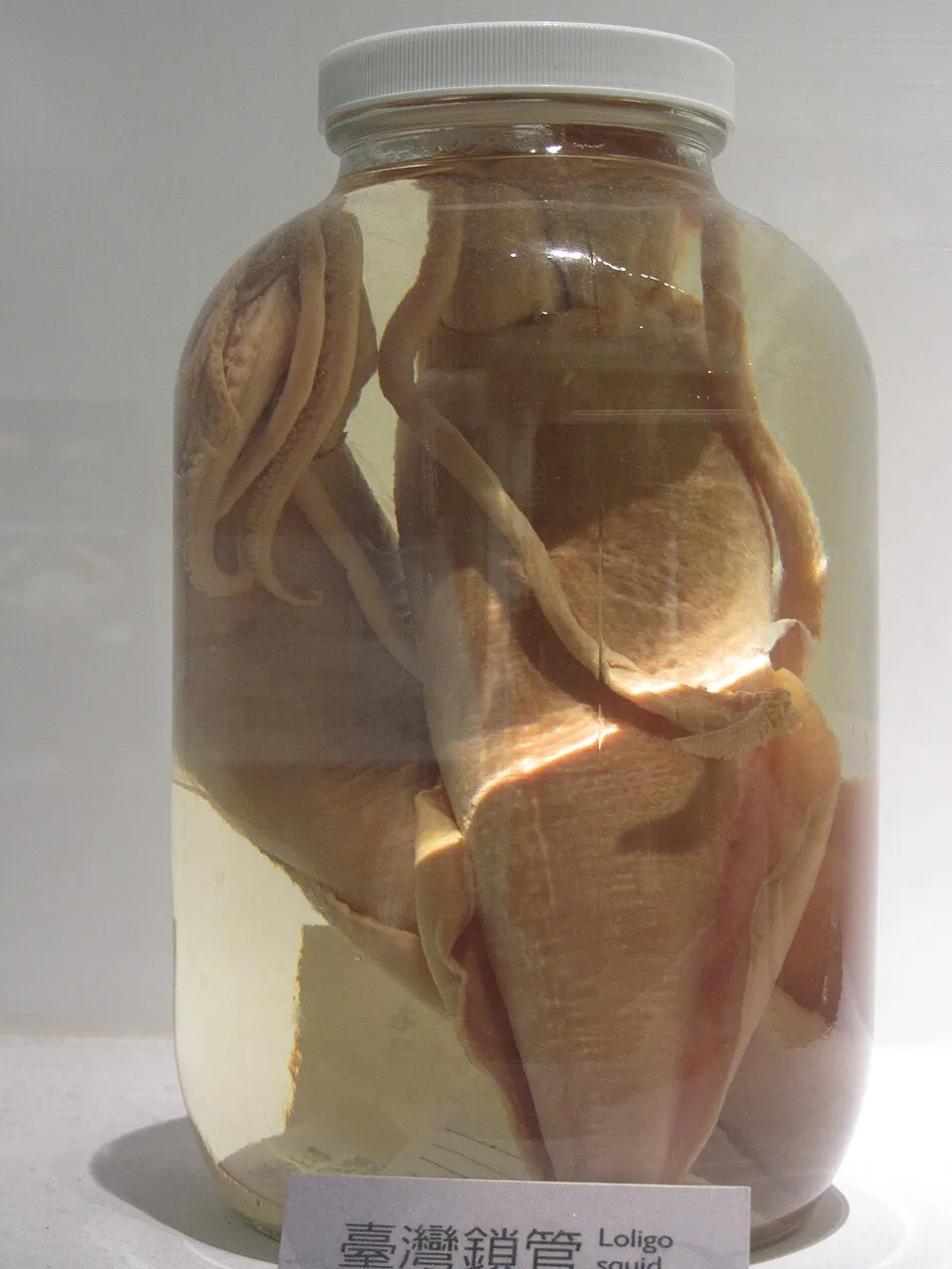
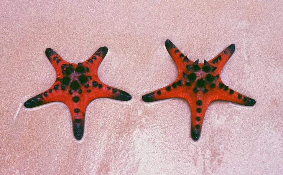
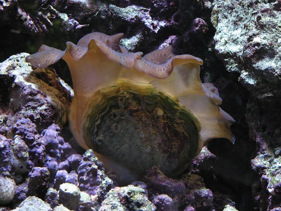
Among the species most often recorded on GBIF are Caesio cuning (Redbelly yellowtail fusilier), Uroteuthis chinensis (Mitre squid), Protoreaster nodosus (Chocolate chip sea star) and Tridacna crocea (Crocus Clam).
© OpenStreetMap
Download the boundary: GeoJSON · GPX Boundary © OpenStreetMap contributors (ODbL).
Geography
Over the 1996–2025 period, the mean annual temperature is about 27.3 °C and total precipitation reaches roughly 2,334 mm per year. The warmest month is usually May, the coolest February, and the wettest December.
Area
- Area
- 110,117 ha
- Coordinates
- -5.8167, 110.4
Climate
● Mean temperature (°C) · ▮ Precipitation (mm)
Source: Copernicus ERA5 (C3S, doi:10.24381/cds.f17050d7), monthly averages 1996–2025 interpolated to the representative point, temperatures adjusted for elevation.
Contains modified Copernicus Climate Change Service information 2026. Neither the European Commission nor ECMWF is responsible for any use that may be made of the Copernicus information or data it contains.
Natural habitats
The site is almost entirely marine. The seabed reaches about 55 m deep (median depth 24 m; GEBCO bathymetry). Reef-building corals are documented in the area: 57 records published on GBIF.
Biodiversity
Based on occurrences aggregated by GBIF, several species are regularly recorded within the site. Among the most frequent are Caesio cuning (Redbelly yellowtail fusilier), Uroteuthis chinensis (Mitre squid), Protoreaster nodosus (Chocolate chip sea star) and Tridacna crocea (Crocus Clam). The full list of documented taxa is shown below.
Species to look out for

Bird
Collared Kingfisher
Todiramphus chloris30 records © JJ Harrison (https://www.jjharrison.com.au/) · CC BY-SA 3.0
Observed species
Occurrences documented via GBIF; they are neither an exhaustive inventory nor proof of current presence.
- Redbelly yellowtail fusilier · Caesio cuning · 42
- Mitre squid · Uroteuthis chinensis · 38
- Chocolate chip sea star · Protoreaster nodosus · 38
- Crocus Clam · Tridacna crocea · 36
- Collared Kingfisher · Todiramphus chloris · 30
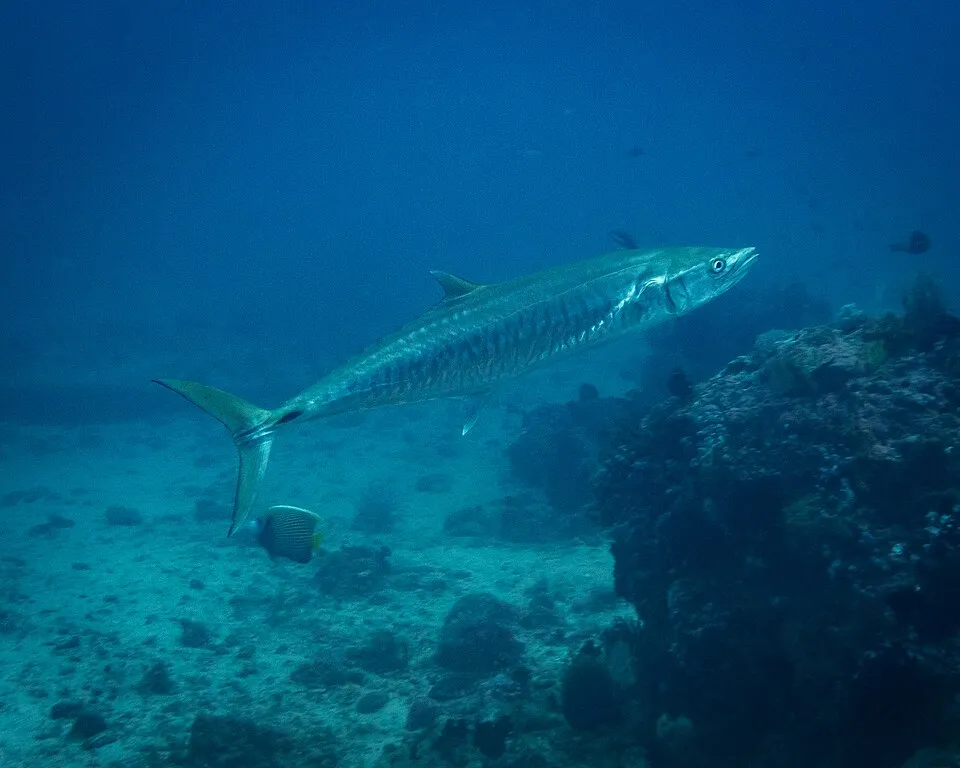
- Narrow-barred Spanish mackerel · Scomberomorus commerson · 21
- Small giant clam · Tridacna maxima · 20
- Holothuria (Halodeima) atra · Holothuria atra · 18
- Indonesian Red-winged Dragonfly · Neurothemis terminata · 14
- Southern House Mosquito · Culex quinquefasciatus · 14
- Artamus leucorhynchos · 12
- Pacific Reef Heron · Egretta sacra · 12
+18 more species
- Yellow-vented Bulbul · Pycnonotus goiavier · 12
- Brush Coral · Acropora hyacinthus · 11
- Azure sea star · Linckia laevigata · 11
- Greater Crested Tern · Thalasseus bergii · 11
- Violet Sprite · Archibasis viola · 9
- Ashy Tailorbird · Orthotomus ruficeps · 9
- White-bellied Sea Eagle · Haliaeetus leucogaster · 8
- Sacred Kingfisher · Todiramphus sanctus · 7
- Mortonagrion falcatum · 6
- Friendly Octopus · Octopus laqueus · 6
- Broadclub Cuttlefish · Ascarosepion latimanus · 5
- Reaper Cuttlefish · Ascarosepion mestus · 5
- Indian mackerel · Rastrelliger kanagurta · 5
- Slender grouper · Anyperodon leucogrammicus · 5
- Areolate grouper · Epinephelus areolatus · 5
- Golden-bellied Gerygone · Gerygone sulphurea · 5
- Pied Imperial Pigeon · Ducula bicolor · 5
- Holothuria (Halodeima) edulis · Holothuria edulis · 5
Records: GBIF.org (CC-BY). Names: Wikidata (CC0), GBIF. Photos: Wikimedia Commons.
Conservation challenges
The primary purpose of the site is to preserve its natural habitats and the biodiversity they support. The species recorded (Biodiversity tab) reflect its ecological value. Its status as a national park sets the regulatory framework for its protection.
Practical information
Cities and airport
- Airport: Jenderal Ahmad Yani (SRG)
117 km as the crow flies
Data: Wikidata (CC0), pending OpenStreetMap data
Access and visiting
Nearest airport: Jenderal Ahmad Yani (SRG), about 117 km away. To plan a visit (access, opening periods, visitor rules), it is best to consult the official information from the managing body and the official website listed in this page's sources.
Source: Wikidata (CC0), November 2026.
When to visit
Best time to visit: the dry season, from June to September, with less than 100 mm of rain per month. Precipitation peaks from November to January (up to 410 mm per month). Day length ranges from about 11 h 47 min in June to 12 h 27 min in December. Wildlife records published on GBIF peak for birds (from August to October) and plants (November). These peaks also reflect when observers are most active.
Source: Copernicus ERA5 (C3S), monthly averages 1996–2025 at the representative point, temperatures adjusted for elevation.
Contains modified Copernicus Climate Change Service information 2026. Neither the European Commission nor ECMWF is responsible for any use that may be made of the Copernicus information or data it contains.
Wildlife records calendar
JFMAMJJASOND
Birds
Plants
Monthly records published on GBIF (CC-BY), relative to the busiest month; also reflects observer activity.
Gallery
© Azwari Nugraha · CC BY 2.0
© Dwi Agung Sulistyo · CC BY-SA 4.0
© Fakhrizal Setiawan · CC BY-SA 4.0
© Wibowo Djatmiko (Wie146) · CC BY-SA 4.0
© Wibowo Djatmiko (Wie146) · CC BY-SA 4.0
© Dwi Agung Sulistyo · CC BY-SA 4.0
Sources and licences
- Wikidata: Q1187900
- Wikipedia: en.wikipedia.org/wiki/Karimunjawa_National_Park
- WDPA: 555571236
References
- cds.climate.copernicus.eu: climate · CC-BY-4.0
- registry.opendata.aws: elevation of the reference point · PD
- lpdaac.usgs.gov: land cover · PD
- doi.org: population around the site · CC-BY-4.0
- naturalearthdata.com: sea share · PD
- wikidata.org: official area, establishment date, nearby cities and airport, access and peaks, places to see · CC0-1.0
- gbif.org: coral records, seasonality of sightings, invasive alien species, observed species · CC-BY-4.0
- gebco.net: depths · PD
- opentopodata.org: elevations · PD
- openstreetmap.org: official name · ODbL-1.0
- wikidata.org: Wikipedia article · CC-BY-SA-4.0
Data © OpenStreetMap contributors (ODbL), Wikidata (CC0) and the sources cited.