Australia · Marine
Kent Group National Park
National park of 13,894 hectares in Australia, established in 1971.
Overview
National park of 13,894 hectares in Australia, established in 1971.
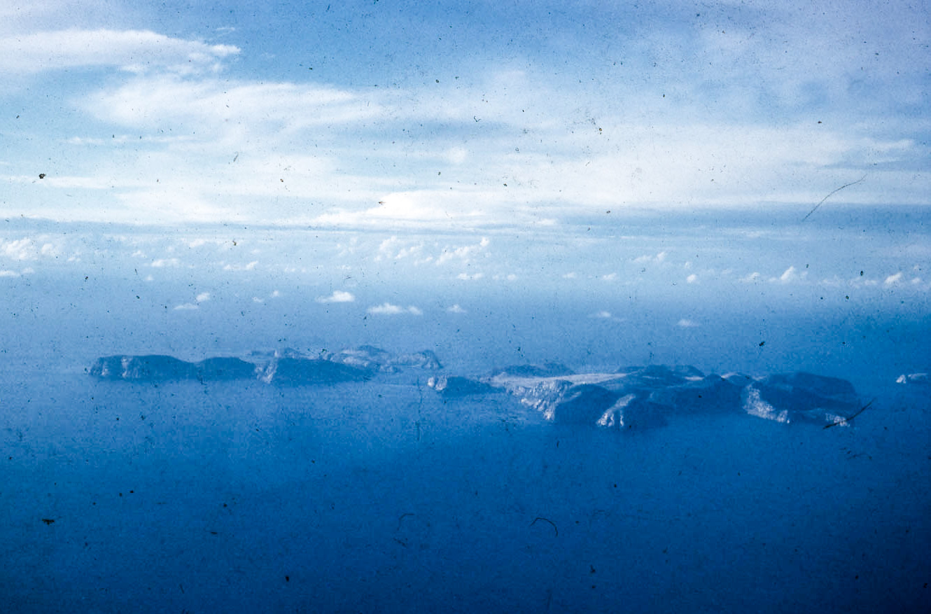
Kent Group National Park is located in Australia (Oceania). It is a predominantly marine area. Established on 28 April 1971, it covers about 13,894 hectares. The site is managed by Tasmania Parks and Wildlife Service.
In our collections
Frequently asked questions
Where is Kent Group National Park?
In Australia (Oceania). Representative point: 39.4700° S, 147.2800° E.
How large is Kent Group National Park?
About 13,894 hectares (139 km²). It is the 250th largest of the 678 national parks in Australia covered by Parkavela. About 13,200 ha are at sea.
When was Kent Group National Park established?
On 28 April 1971.
What habitats and landscapes does Kent Group National Park include?
A marine area, with coasts.
When is the best time to visit Kent Group National Park?
Best time to visit: from August to April, with average temperatures of 11 to 18 °C and moderate rainfall.
What is the nearest airport to Kent Group National Park?
Nearest airport: Devonport (DPO), about 191 km away.
Which species can be seen in Kent Group National Park?
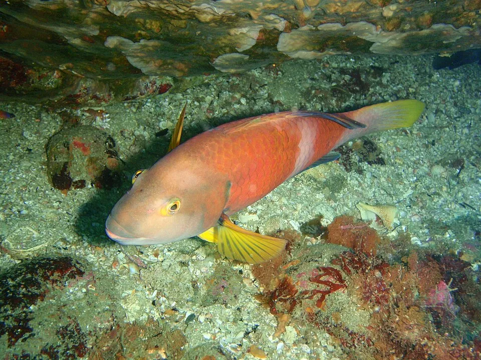
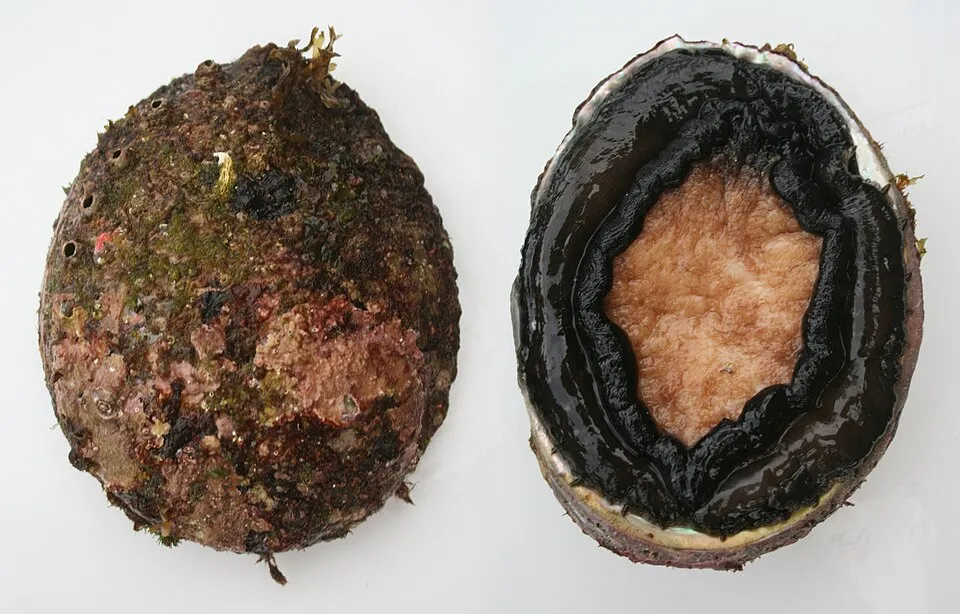
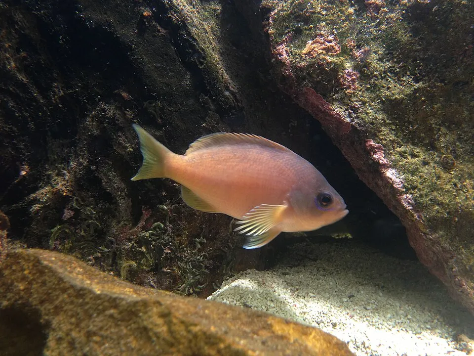
Among the species most often recorded on GBIF are Notolabrus tetricus (Blue-throated wrasse), Haliotis rubra (Blacklip abalone), Caesioperca rasor (Barber perch) and Cheilodactylus nigripes.
Who manages Kent Group National Park?
Tasmania Parks and Wildlife Service.
What is the official website of Kent Group National Park?
© OpenStreetMap
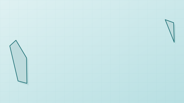
Download the boundary: GeoJSON · GPX Boundary © OpenStreetMap contributors (ODbL).
Geography
The representative point of the site lies at around 47 m above sea level. Over the 1996–2025 period, the mean annual temperature is about 14.3 °C and total precipitation reaches roughly 682 mm per year. The warmest month is usually February, the coolest August, and the wettest May.
Area
- Area
- 13,894 ha
- Elevation
- 47 m
- Coordinates
- -39.47, 147.28
Climate
● Mean temperature (°C) · ▮ Precipitation (mm)
Source: Copernicus ERA5 (C3S, doi:10.24381/cds.f17050d7), monthly averages 1996–2025 interpolated to the representative point, temperatures adjusted for elevation.
Contains modified Copernicus Climate Change Service information 2026. Neither the European Commission nor ECMWF is responsible for any use that may be made of the Copernicus information or data it contains.
Natural habitats
The sea covers about 95% of the site. The seabed reaches about 65 m deep (median depth 56 m; GEBCO bathymetry).
Biodiversity
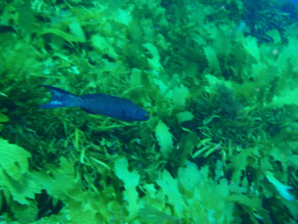
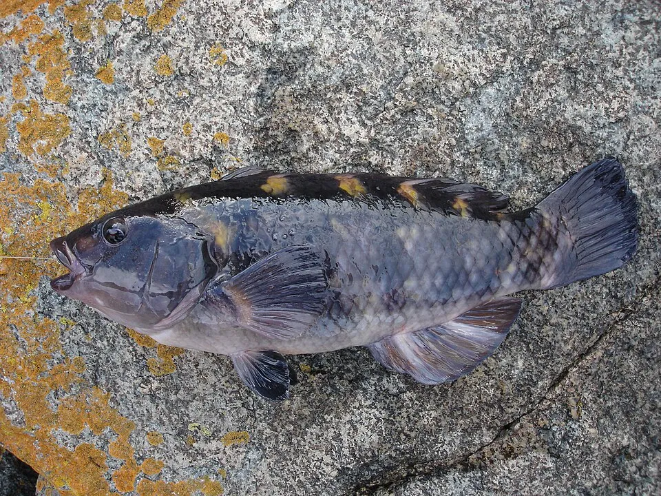
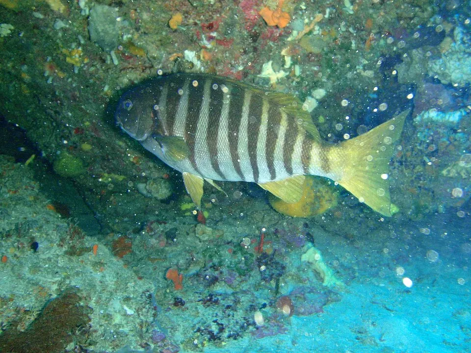
Based on occurrences aggregated by GBIF, several species are regularly recorded within the site. Among the most frequent are Notolabrus tetricus (Blue-throated wrasse), Haliotis rubra (Blacklip abalone), Caesioperca rasor (Barber perch) and Cheilodactylus nigripes. The full list of documented taxa is shown below.
Species to look out for
Observed species
Occurrences documented via GBIF; they are neither an exhaustive inventory nor proof of current presence.
- Blue-throated wrasse · Notolabrus tetricus · 306
- Blacklip abalone · Haliotis rubra · 303
- Barber perch · Caesioperca rasor · 270
- Cheilodactylus nigripes · 227
- Herring Cale · Olisthops cyanomelas · 196
- New Zealand banded wrasse · Notolabrus fucicola · 188
- Stripey Bream · Girella zebra · 181
- Common Kelp · Ecklonia radiata · 179
- Long-spined Sea Urchin · Centrostephanus rodgersii · 177
- White-ear Scalyfin · Parma microlepis · 176
- Western Pacific purple sea urchin · Heliocidaris erythrogramma · 172
- Sweep · Scorpis aequipinnis · 166
+18 more species
- Metallic Cool-skink · Carinascincus metallicus · 158
- Acrocarpia paniculata · 141
- Phacelocarpus peperocarpos · 133
- Black-striped Goatfish · Upeneichthys vlamingii · 132
- Xiphophora chondrophylla · 131
- Branched wing weed · Pterocladiella capillacea · 126
- Plocamium angustum · 114
- Cenolia trichoptera · 105
- Ocellate seastar · Nectria ocellata · 102
- Brown Leatherjacket · Acanthaluteres vittiger · 101
- Southern Maori wrasse · Ophthalmolepis lineolata · 94
- Senatorwrasse · Pictilabrus laticlavius · 91
- Blotched-tailed Trachinops · Trachinops caudimaculatus · 88
- Velvet Sea Star · Petricia vernicina · 84
- Largescaled bulls-eye · Pempheris multiradiata · 81
- One-spot puller · Chromis hypsilepis · 78
- Old Wife · Enoplosus armatus · 77
- Sea rimu · Caulerpa brownii · 77
Records: GBIF.org (CC-BY). Names: Wikidata (CC0), GBIF. Photos: Wikimedia Commons.
Conservation challenges
The primary purpose of the site is to preserve its natural habitats and the biodiversity they support. The species recorded (Biodiversity tab) reflect its ecological value. Its status as a national park sets the regulatory framework for its protection.
Since 2000, 26 invasive alien species have been recorded within the site (GBIF observations). Among them: Centrostephanus rodgersii (Long-spined Sea Urchin), Sagina maritima (Sea pearlwort) and Plantago coronopus (Buckhorn plantain).
Pressure indicators
Invasive alien species
26
recorded since 2000
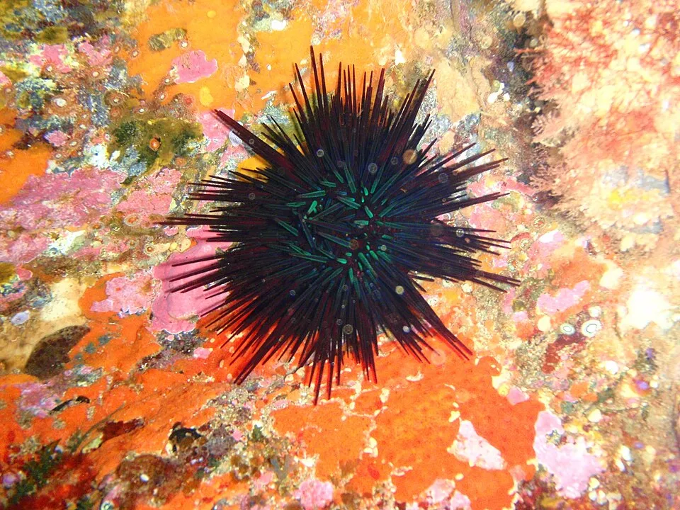 Long-spined Sea Urchin
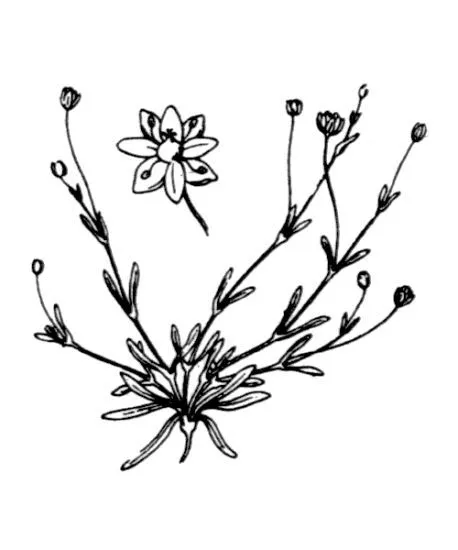 Sea pearlwort
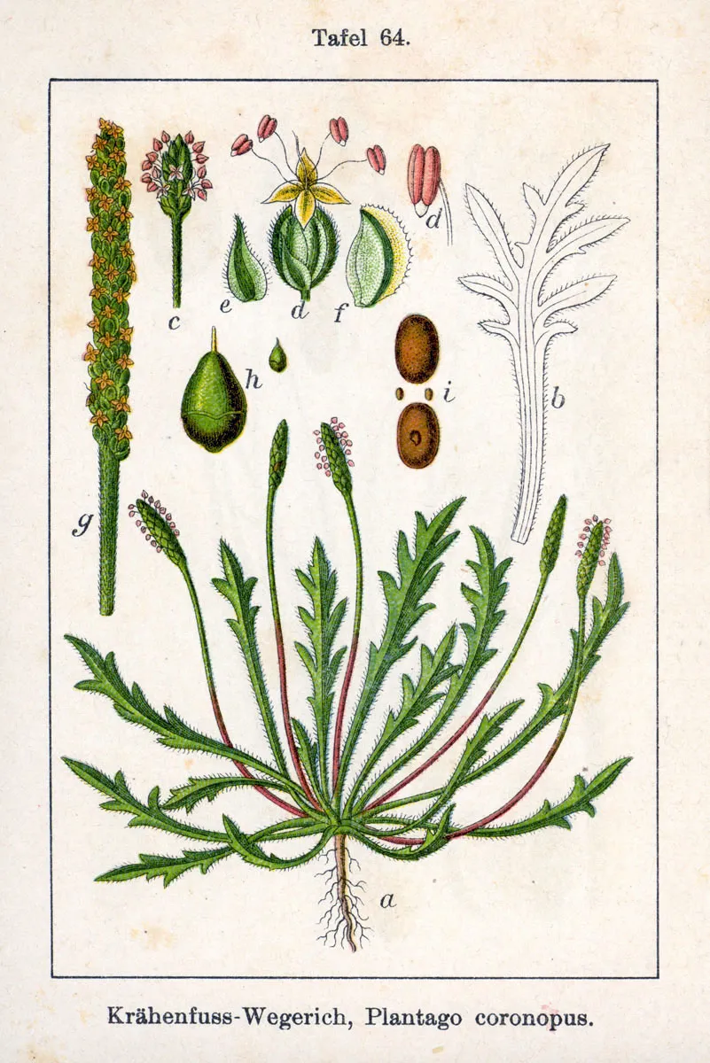 Buckhorn plantain
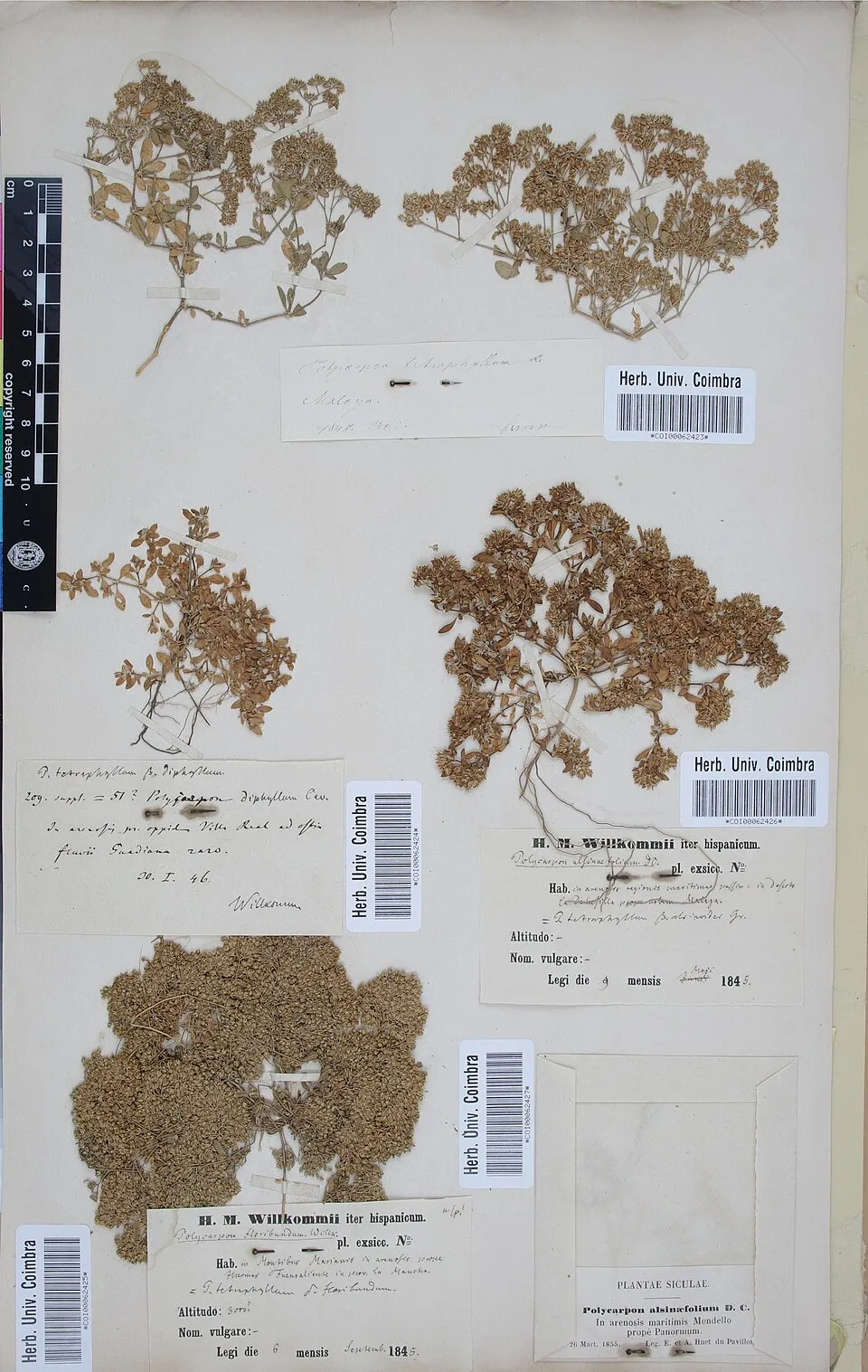 Fourleaf manyseed
 Buttonweed
 Yellow wall bedstraw
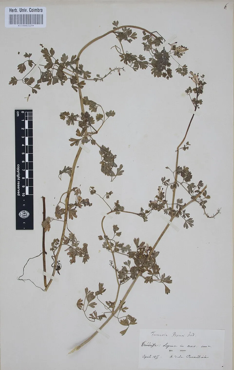 Common ramping-fumitory
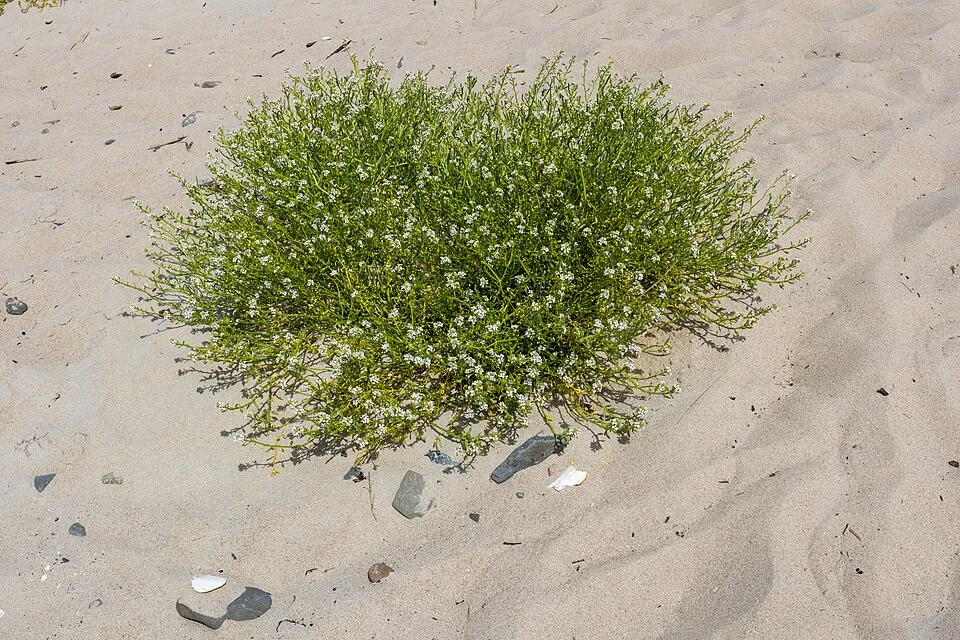 Sea rocket
Photos: Long-spined Sea Urchin © Peter Southwood · CC BY-SA 3.0; Sea pearlwort © Hippolyte Coste · Public domain; Buckhorn plantain © Johann Georg Sturm (Painter: Jacob Sturm) · Public domain; Fourleaf manyseed © Herbarium of the University of Coimbra (COI) · CC BY 4.0; Buttonweed © Johann Georg Sturm (Painter: Jacob Sturm) · Public domain; Yellow wall bedstraw © Stefan.lefnaer · CC BY-SA 4.0; Common ramping-fumitory © Herbarium of the University of Coimbra (COI) · CC BY 4.0; Sea rocket © JackyM59 · CC BY-SA 4.0
Sources: Global Forest Change (Hansen et al., University of Maryland, via Global Forest Watch, CC-BY 4.0); EFFIS, European Commission / Copernicus; NASA Black Marble 2016 (public domain); CORINE Land Cover 2018 (Copernicus) or MODIS.
Invasive alien species: Global Register of Introduced and Invasive Species (ISSG, CC BY 4.0); Union list, Regulation (EU) 1143/2014 (INBO, CC0); GBIF.org records (CC0 / CC BY 4.0), at least 2 per species.
Practical information
Cities and airport
- Airport: Devonport (DPO)
191 km as the crow flies
Data © OpenStreetMap contributors (ODbL) · Wikidata (CC0)
Access and visiting
Nearest airport: Devonport (DPO), about 191 km away. To plan a visit (access, opening periods, visitor rules), it is best to consult the official information from the managing body (Tasmania Parks and Wildlife Service) and the official website listed in this page's sources.
Source: OpenStreetMap (ODbL), Wikidata (CC0), November 2026.
When to visit
Best time to visit: from August to April, with average temperatures of 11 to 18 °C and moderate rainfall. Day length ranges from about 9 h 24 min in June to 14 h 56 min in December. Wildlife records published on GBIF peak for birds (November), plants (June) and mammals (December). These peaks also reflect when observers are most active.
Source: Copernicus ERA5 (C3S), monthly averages 1996–2025 at the representative point, temperatures adjusted for elevation.
Contains modified Copernicus Climate Change Service information 2026. Neither the European Commission nor ECMWF is responsible for any use that may be made of the Copernicus information or data it contains.
Wildlife records calendar
JFMAMJJASOND
Birds
Plants
Mammals
Monthly records published on GBIF (CC-BY), relative to the busiest month; also reflects observer activity.
Gallery
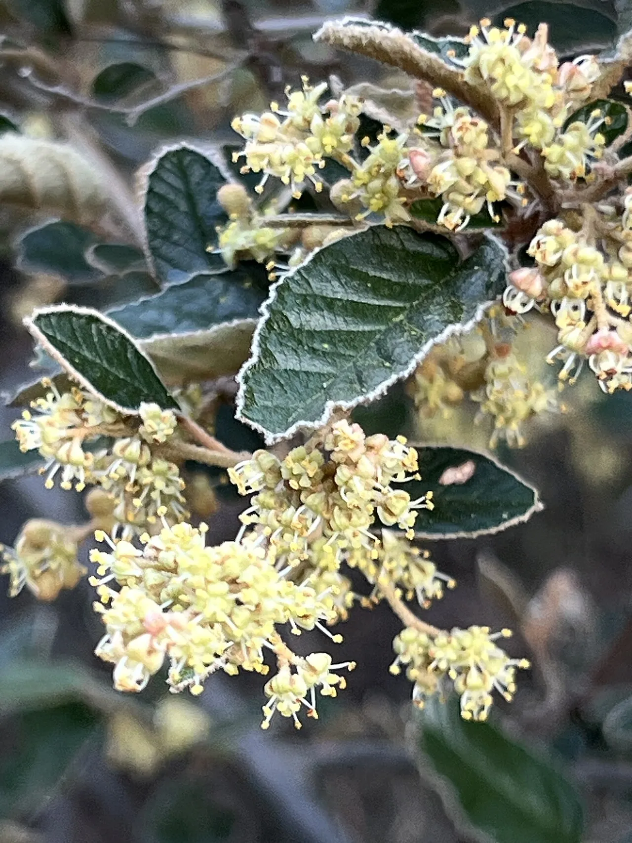
© Dr Mary Gillham Archive Project · CC BY 2.0
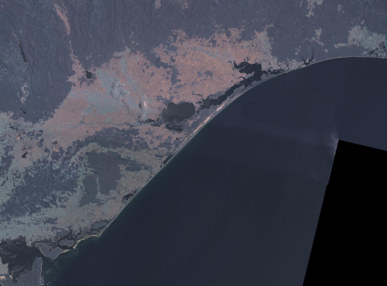
© Terrafirma123 · CC BY 3.0
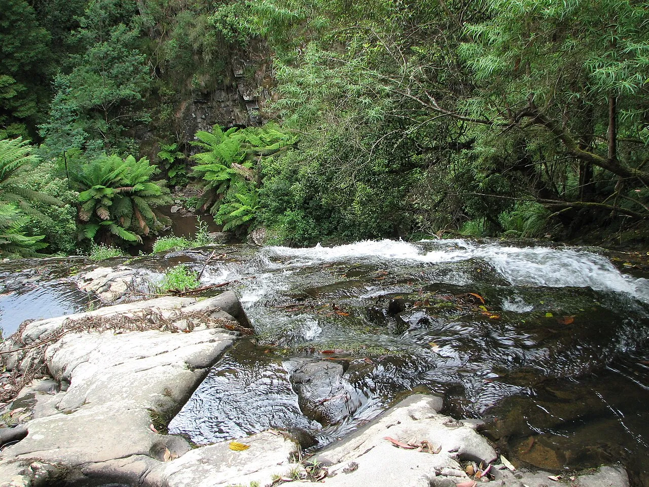
© Terrafirma123 · CC BY 3.0
© Terrafirma123 · CC BY 3.0
© Terrafirma123 · CC BY 3.0
© Terrafirma123 · CC BY 3.0
Sources and licences
- Wikidata: Q21930359
- OpenStreetMap: relation 6182235
- Official website: https://parks.tas.gov.au/explore-our-parks/kent-group-national-park
- Wikipedia: en.wikipedia.org/wiki/Kent_Group_National_Park
- WDPA: 309479
References
- cds.climate.copernicus.eu: climate · CC-BY-4.0
- registry.opendata.aws: elevation of the reference point · PD
- lpdaac.usgs.gov: land cover · PD
- doi.org: population around the site · CC-BY-4.0
- naturalearthdata.com: sea share · PD
- wikidata.org: official area, highest point, establishment date, protected heritage, managing body, official name, nearby cities and airport, access and peaks, places to see, official website · CC0-1.0
- gebco.net: depths · PD
- opentopodata.org: elevations · PD
- gbif.org: seasonality of sightings, invasive alien species, observed species · CC-BY-4.0
- openstreetmap.org: access and peaks · ODbL-1.0
- wikidata.org: Wikipedia article · CC-BY-SA-4.0
Data © OpenStreetMap contributors (ODbL), Wikidata (CC0) and the sources cited.