Australia · Terrestrial
Lachlan Valley National Park
National park of 22,944 hectares in Australia, established in 2010.
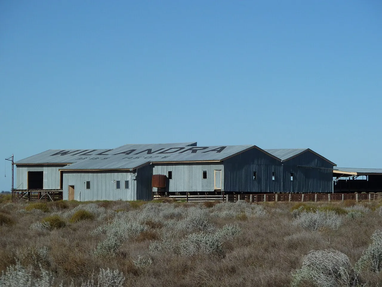
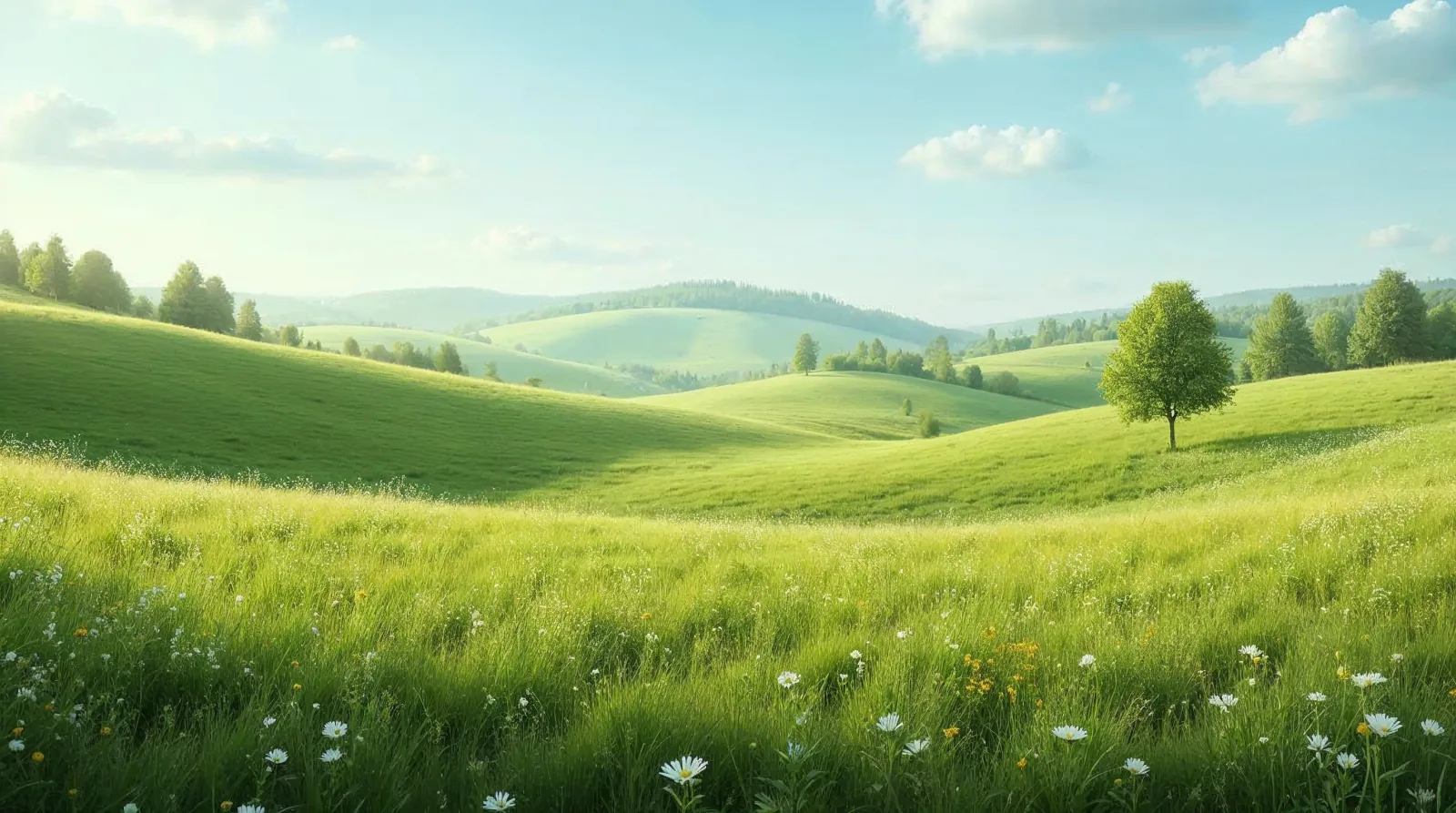
AI-generated illustration (Magnific) · typical landscape, not a photo of this place
Overview
National park of 22,944 hectares in Australia, established in 2010.
Lachlan Valley National Park is located in Australia (Oceania). It is a predominantly terrestrial area. Established in 2010, it covers about 22,944 hectares. The site is managed by NSW National Parks and Wildlife Service.
In our collections
Frequently asked questions
Where is Lachlan Valley National Park?
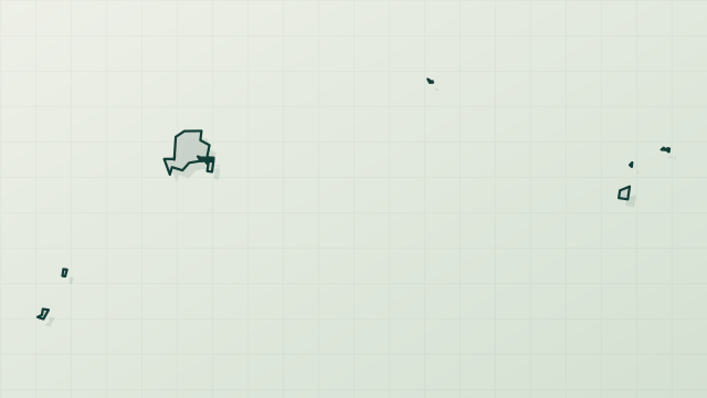
In Australia (Oceania). Representative point: 33.7568° S, 145.1128° E.
How large is Lachlan Valley National Park?
About 22,944 hectares (229 km²). It is the 187th largest of the 678 national parks in Australia covered by Parkavela.
When was Lachlan Valley National Park established?
In 2010.
What habitats and landscapes does Lachlan Valley National Park include?
A terrestrial area, where land cover is dominated by grassland and meadows (94%).
When is the best time to visit Lachlan Valley National Park?
Best time to visit: from October to December, with average temperatures of 18 to 25 °C and moderate rainfall.
What is there to see in Lachlan Valley National Park?
Moon Moon Lake (103 m) (Wikidata).
What is the nearest airport to Lachlan Valley National Park?
Nearest airport: Dubbo City Regional (DBO), about 139 km away.
Which species can be seen in Lachlan Valley National Park?
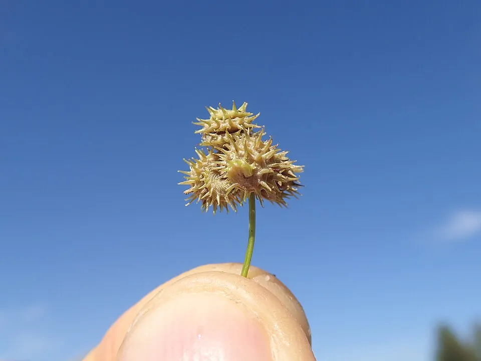
Among the species most often recorded on GBIF are Chenopodium nutans (Climbing-saltbush), Sclerolaena muricata (Black Rolypoly), Dysphania pumilio (Clammy goosefoot) and Medicago polymorpha (Toothed Medick).
Who manages Lachlan Valley National Park?
NSW National Parks and Wildlife Service.
What is the official website of Lachlan Valley National Park?
nationalparks.nsw.gov.au/visit-a-park/parks/lachlan-valley-national-park
© OpenStreetMap
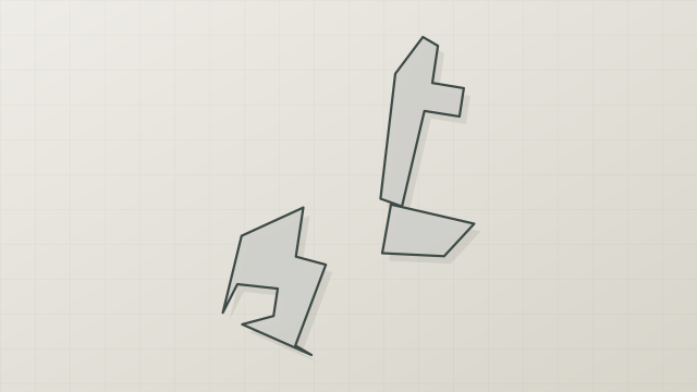
Download the boundary: GeoJSON · GPX Boundary © OpenStreetMap contributors (ODbL).
Geography
The representative point of the site lies at around 104 m above sea level. Over the 1996–2025 period, the mean annual temperature is about 18.3 °C and total precipitation reaches roughly 351 mm per year. The warmest month is usually January, the coolest July, and the wettest November.
Area
- Area
- 22,944 ha
- Elevation
- 104 m
- Coordinates
- -33.7568, 145.1128
Climate
● Mean temperature (°C) · ▮ Precipitation (mm)
Source: Copernicus ERA5-Land (C3S, doi:10.24381/cds.68d2bb30), monthly averages 1996–2025 interpolated to the representative point, temperatures adjusted for elevation.
Contains modified Copernicus Climate Change Service information 2026. Neither the European Commission nor ECMWF is responsible for any use that may be made of the Copernicus information or data it contains.
Natural habitats
According to the global MODIS land cover (NASA, 2024), the site is mainly made up of grassland and meadows (94%).
Biodiversity
Based on occurrences aggregated by GBIF, several species are regularly recorded within the site. Among the most frequent are Chenopodium nutans (Climbing-saltbush), Sclerolaena muricata (Black Rolypoly), Dysphania pumilio (Clammy goosefoot) and Medicago polymorpha (Toothed Medick). The full list of documented taxa is shown below.
Species to look out for

Plant
Rough speargrass
Austrostipa scabra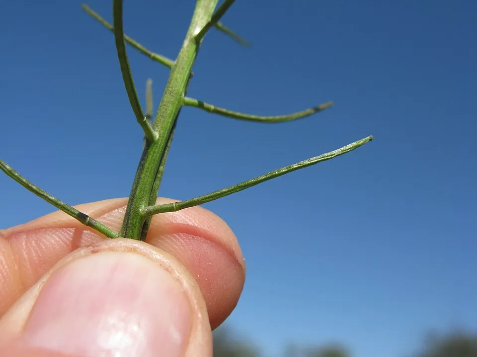
Plant
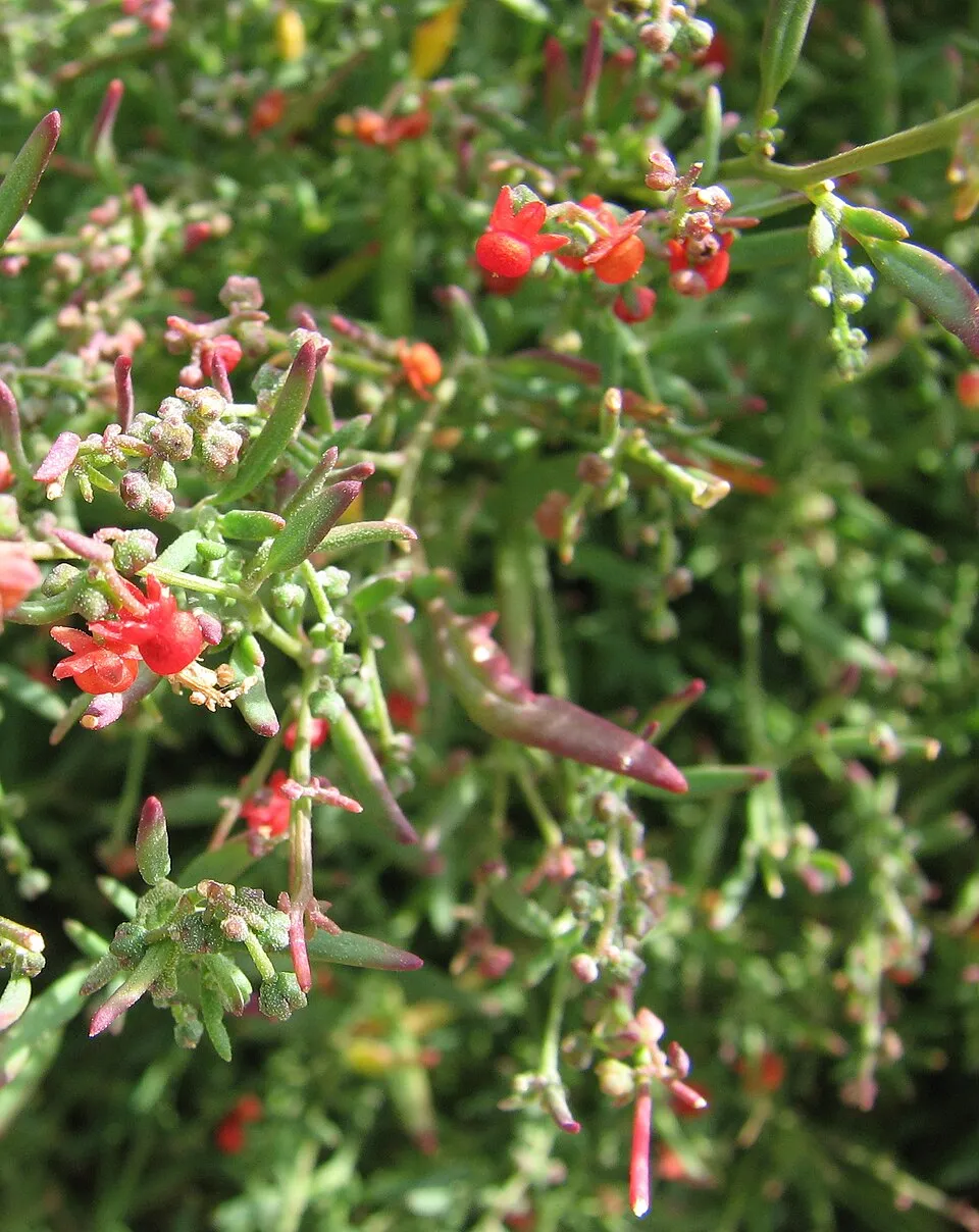
Mediterranean rocket
Sisymbrium erysimoides81 records © Harry Rose from South West Rocks, Australia · CC BY 2.0
Observed species
Occurrences documented via GBIF; they are neither an exhaustive inventory nor proof of current presence.
- Climbing-saltbush · Chenopodium nutans · 165
- Black Rolypoly · Sclerolaena muricata · 151
- Clammy goosefoot · Dysphania pumilio · 126
- Toothed Medick · Medicago polymorpha · 125
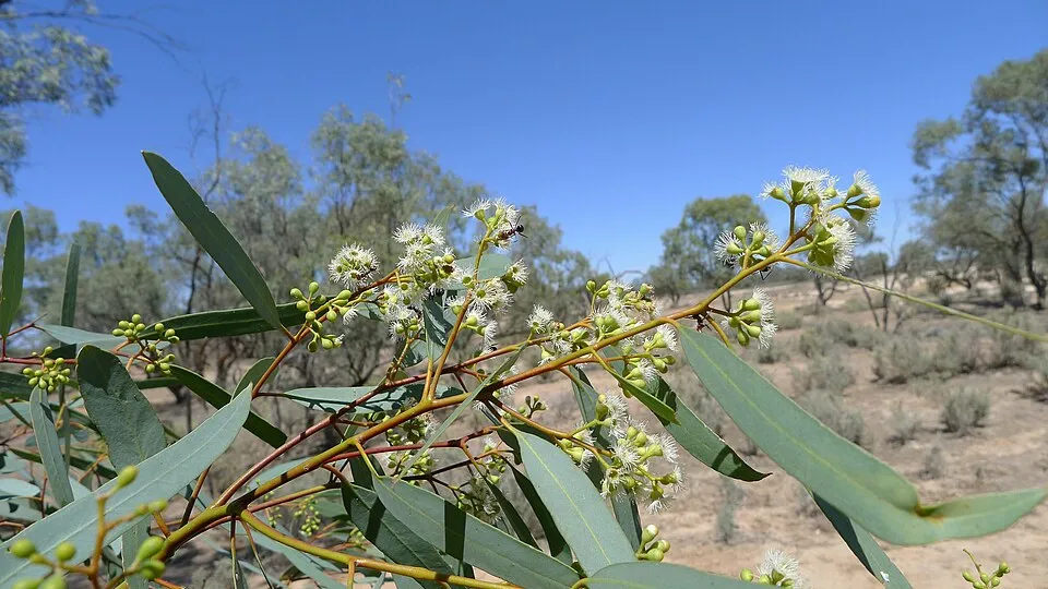
- River redgum · Eucalyptus camaldulensis · 119
- Black-box · Eucalyptus largiflorens · 98
- Rough speargrass · Austrostipa scabra · 82
- Mediterranean rocket · Sisymbrium erysimoides · 81
- Velvetleaf · Abutilon theophrasti · 79
- Common Sneezeweed · Centipeda cunninghamii · 77
- Caustic Spurge · Euphorbia drummondii · 75
- Tufted wallaby grass · Rytidosperma caespitosum · 68
+18 more species
- Smooth sow-thistle · Sonchus oleraceus · 67
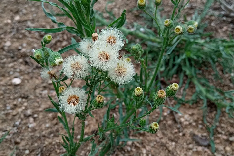
- Argentine fleabane · Erigeron bonariensis · 62
- Australian saltbush · Atriplex semibaccata · 61
- Galah · Eolophus roseicapilla · 58
- Ruby saltbush · Enchylaena tomentosa · 58
- Tangled lignum · Duma florulenta · 57
- Lesser joyweed · Alternanthera denticulata · 53
- Cutleaf medick · Medicago laciniata · 52
- Purple Viper's-bugloss · Echium plantagineum · 51
- White cypress-pine · Callitris columellaris · 48
- Spiny cocklebur · Xanthium spinosum · 48
- Magpie-lark · Grallina cyanoleuca · 47
- Willie Wagtail · Rhipidura leucophrys · 46
- Australian Magpie · Gymnorhina tibicen · 45
- Woody-rooted Yellow-sorrel · Oxalis perennans · 45
- Striated Pardalote · Pardalotus striatus · 43
- Vandyke grass · Setaria jubiflora · 43
- Pacific Black Duck · Anas superciliosa · 40
Records: GBIF.org (CC-BY). Names: Wikidata (CC0), GBIF. Photos: Wikimedia Commons.
Conservation challenges
The primary purpose of the site is to preserve its natural habitats and the biodiversity they support. The species recorded (Biodiversity tab) reflect its ecological value. Its status as a national park sets the regulatory framework for its protection.
According to Global Forest Change data (University of Maryland, Global Forest Watch), about 384 ha of tree cover were lost within the boundary between 2001 and 2023 (2% of its area), peaking in 2020. These losses include logging, storms and fires, and do not account for regrowth. At night, the area gives off virtually no artificial light detectable from space (NASA VIIRS Black Marble composite, 2016). Since 2000, 44 invasive alien species have been recorded within the site (GBIF observations). Among them: Dysphania pumilio (Clammy goosefoot), Erigeron bonariensis (Argentine fleabane) and Medicago laciniata (Cutleaf medick).
Pressure indicators
Tree cover lost
384 ha
2001–2023 · 2% of the area
20012023
Light at night
0%
of the area gives off artificial light visible from space
DarkLit
Invasive alien species
44
recorded since 2000
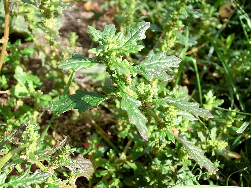
Clammy goosefoot
 Argentine fleabane
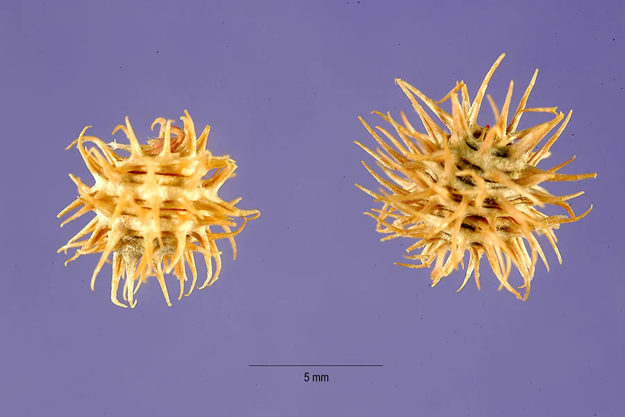 Cutleaf medick
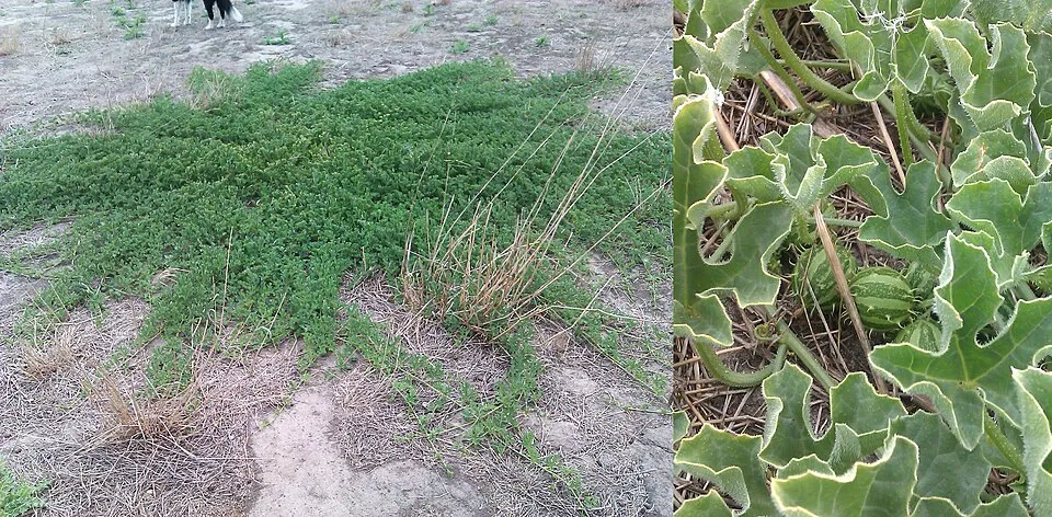 Gooseberry gourd
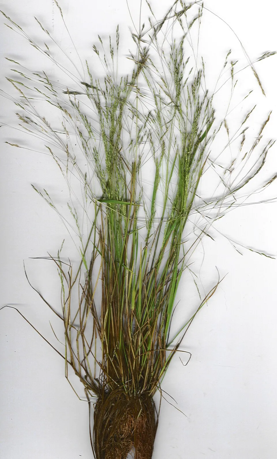 New Zealand wind grass
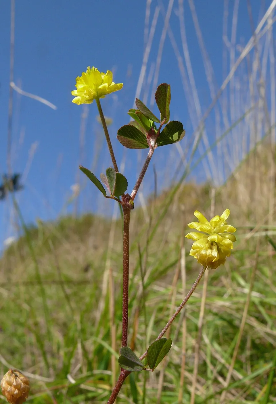 Hop trefoil
 Turkey Tangle Frogfruit
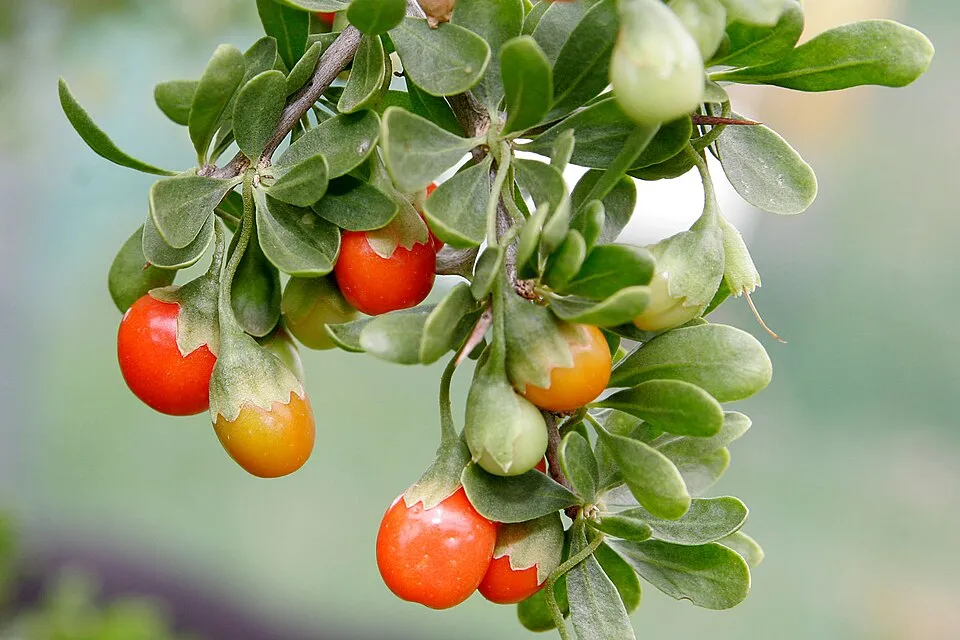 African boxthorn
Photos: Clammy goosefoot © Gabriele Kothe-Heinrich · CC BY-SA 3.0; Argentine fleabane © Josep Gesti · CC BY-SA 4.0; Cutleaf medick © Tracey Slotta @ USDA-NRCS PLANTS Database · Public domain; Gooseberry gourd © Golden-elm · CC0-1.0; New Zealand wind grass © Forest and Kim Starr · CC BY 3.0; Hop trefoil © Bernd Haynold · CC BY-SA 3.0; Turkey Tangle Frogfruit © Ghislain118 http://www.fleurs-des-montagnes.net · CC BY-SA 3.0; African boxthorn © Fir0002 · CC BY-SA 3.0
Sources: Global Forest Change (Hansen et al., University of Maryland, via Global Forest Watch, CC-BY 4.0); EFFIS, European Commission / Copernicus; NASA Black Marble 2016 (public domain); CORINE Land Cover 2018 (Copernicus) or MODIS.
Invasive alien species: Global Register of Introduced and Invasive Species (ISSG, CC BY 4.0); Union list, Regulation (EU) 1143/2014 (INBO, CC0); GBIF.org records (CC0 / CC BY 4.0), at least 2 per species.
Practical information
Cities and airport
- Airport: Dubbo City Regional (DBO)
139 km as the crow flies
Data © OpenStreetMap contributors (ODbL) · Wikidata (CC0)
Access and visiting
Nearest airport: Dubbo City Regional (DBO), about 139 km away. About 7,400 people live within 20 km of the site boundary, 1,100 of them within 10 km; the site itself is virtually uninhabited (GHSL estimate, 2020). To see: Moon Moon Lake (103 m). To plan a visit (access, opening periods, visitor rules), it is best to consult the official information from the managing body (NSW National Parks and Wildlife Service) and the official website listed in this page's sources.
Source: OpenStreetMap (ODbL), Wikidata (CC0), November 2026.
When to visit
Best time to visit: from October to December, with average temperatures of 18 to 25 °C and moderate rainfall. Day length ranges from about 9 h 55 min in June to 14 h 23 min in December. Wildlife records published on GBIF peak for birds (September and October) and plants (May and June). These peaks also reflect when observers are most active.
Source: Copernicus ERA5-Land (C3S), monthly averages 1996–2025 at the representative point, temperatures adjusted for elevation.
Contains modified Copernicus Climate Change Service information 2026. Neither the European Commission nor ECMWF is responsible for any use that may be made of the Copernicus information or data it contains.
Wildlife records calendar
JFMAMJJASOND
Birds
Plants
Monthly records published on GBIF (CC-BY), relative to the busiest month; also reflects observer activity.
Sources and licences
- Wikidata: Q1799705
- OpenStreetMap: relation 6012536
- Official website: http://www.nationalparks.nsw.gov.au/visit-a-park/parks/lachlan-valley-national-park
- Wikipedia: de.wikipedia.org/wiki/Lachlan-Valley-Nationalpark
- WDPA: 555576738
References
- cds.climate.copernicus.eu: climate · CC-BY-4.0
- registry.opendata.aws: elevation of the reference point, detailed relief · PD
- lpdaac.usgs.gov: land cover · PD
- doi.org: population around the site · CC-BY-4.0
- naturalearthdata.com: sea share · PD
- wikidata.org: official area, establishment date, protected heritage, managing body, nearby cities and airport, access and peaks, lake depths, places to see, official website · CC0-1.0
- en.eurovelo.com: EuroVelo cycle routes · ODbL-1.0
- cycling.waymarkedtrails.org: cycle routes · ODbL-1.0
- opentopodata.org: elevations · PD
- globalforestwatch.org: tree cover loss · CC-BY-4.0
- gbif.org: seasonality of sightings, invasive alien species, observed species · CC-BY-4.0
- openstreetmap.org: official name, access and peaks, trail difficulty · ODbL-1.0
- earthobservatory.nasa.gov: night light · PD
- nsidc.org: snow cover · PD
- wikidata.org: Wikipedia article · CC-BY-SA-4.0
Data © OpenStreetMap contributors (ODbL), Wikidata (CC0) and the sources cited.