
Australia · Terrestrial
Lakeside National Park
National park of 8,490 hectares in Australia, established in 2021.
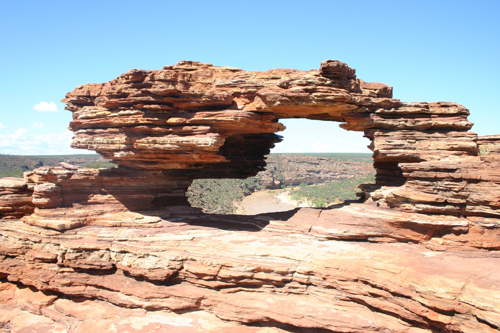
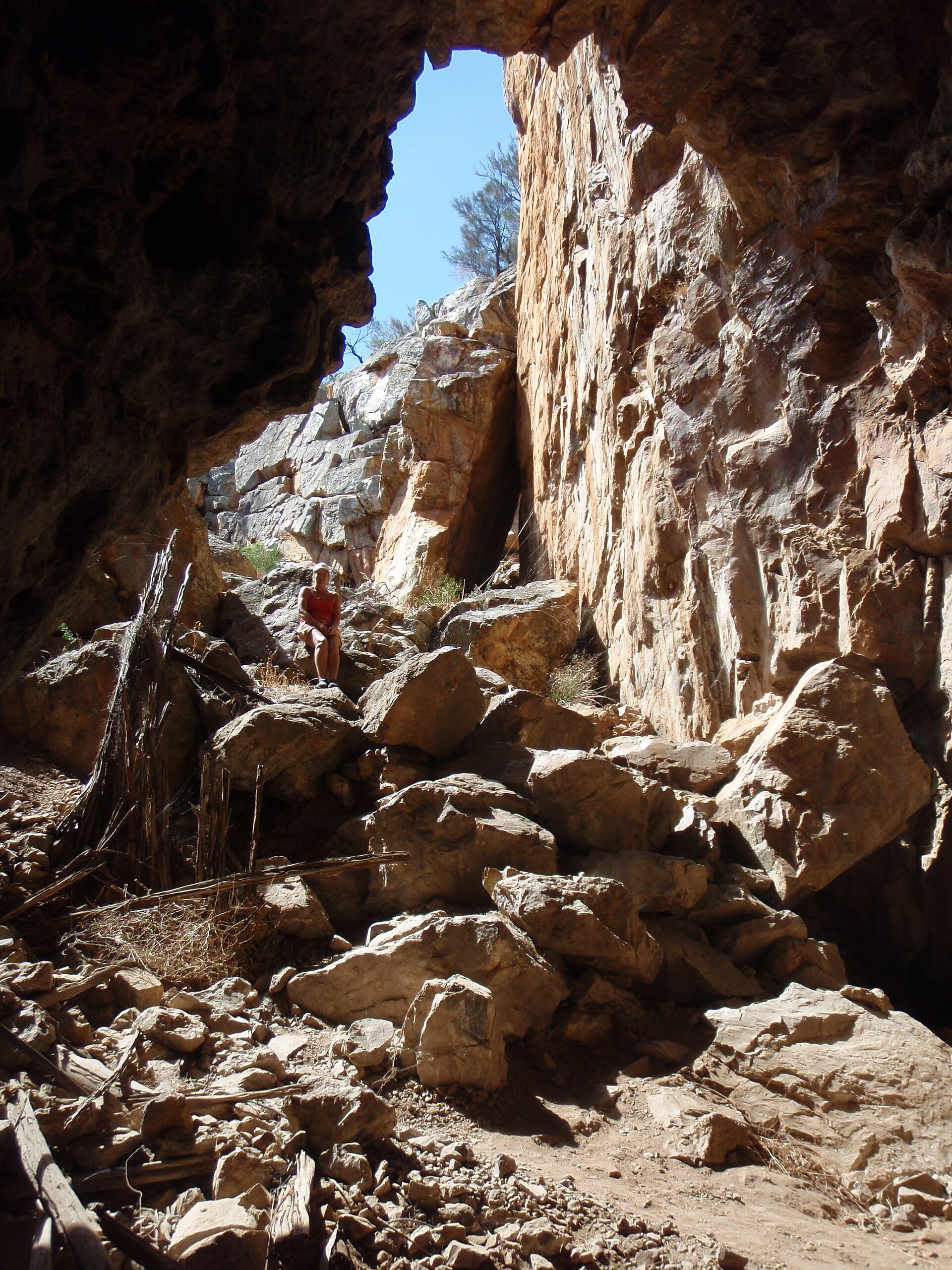
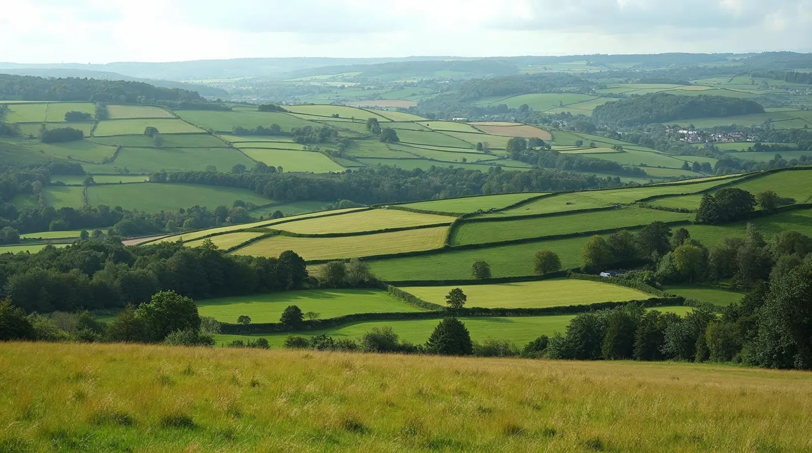
AI-generated illustration (Magnific) · typical landscape, not a photo of this place
Overview
National park of 8,490 hectares in Australia, established in 2021.
Lakeside National Park is located in Australia (Oceania). It is a predominantly terrestrial area. Established on 18 February 2021, it covers about 8,490 hectares.
In our collections
Frequently asked questions
Where is Lakeside National Park?
In Australia (Oceania). Representative point: 27.6467° S, 117.5152° E.
How large is Lakeside National Park?
About 8,490 hectares (85 km²). It is the 317th largest of the 678 national parks in Australia covered by Parkavela.
When was Lakeside National Park established?
On 18 February 2021.
What habitats and landscapes does Lakeside National Park include?
A terrestrial area, where land cover is dominated by heath and scrub (100%).
When is the best time to visit Lakeside National Park?
Mildest period: from December to February, with average temperatures of 28 to 31 °C.
Which species can be seen in Lakeside National Park?
Among the species most often recorded on GBIF are Solanum lasiophyllum (Flannelbush), Eremophila simulans, Eremophila glutinosa and Acacia pteraneura (Broad-winged Mulga).
© OpenStreetMap
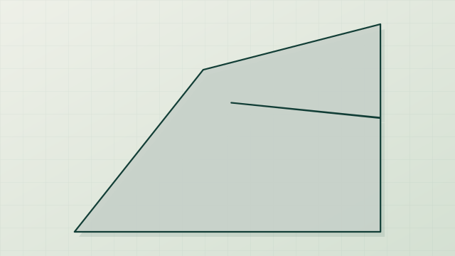
Download the boundary: GeoJSON · GPX Boundary © OpenStreetMap contributors (ODbL).
Geography
The representative point of the site lies at around 502 m above sea level. Over the 1996–2025 period, the mean annual temperature is about 21.7 °C and total precipitation reaches roughly 216 mm per year. The warmest month is usually January, the coolest July, and the wettest March.
Area
- Area
- 8,490 ha
- Elevation
- 502 m
- Median elevation
- 476 m
- Coordinates
- -27.6467, 117.5152
Terrain: Mapzen Terrain Tiles (SRTM, USGS)
Climate
● Mean temperature (°C) · ▮ Precipitation (mm)
Source: Copernicus ERA5-Land (C3S, doi:10.24381/cds.68d2bb30), monthly averages 1996–2025 interpolated to the representative point, temperatures adjusted for elevation.
Contains modified Copernicus Climate Change Service information 2026. Neither the European Commission nor ECMWF is responsible for any use that may be made of the Copernicus information or data it contains.
Natural habitats
According to the global MODIS land cover (NASA, 2024), the site is mainly made up of heath and scrub (100%). The land is almost flat (mean slope under 2°).
Biodiversity
Based on occurrences aggregated by GBIF, several species are regularly recorded within the site. Among the most frequent are Solanum lasiophyllum (Flannelbush), Eremophila simulans, Eremophila glutinosa and Acacia pteraneura (Broad-winged Mulga). The full list of documented taxa is shown below.
Species to look out for
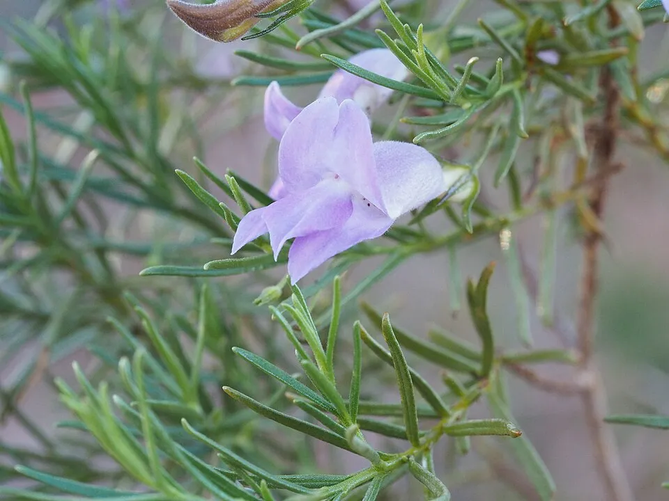


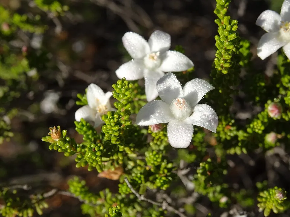

Observed species
Occurrences documented via GBIF; they are neither an exhaustive inventory nor proof of current presence.
- Flannelbush · Solanum lasiophyllum · 4
- Eremophila simulans · 4
- Eremophila glutinosa · 3
- Broad-winged Mulga · Acacia pteraneura · 3
- Landerolaria stuartii · 2
- Pink Velleia · Goodenia rosea · 2
- Feldstonia nitens · 2
- Hyalosperma zacchaeus · 2
- Calytrix erosipetala · 2
- Goodenia kingiana · 2
- Philotheca sericea · 2
- Prostanthera patens · 2
+18 more species
- Woolly Mistletoe · Amyema nestor · 2
- Lemon Grass · Cymbopogon ambiguus · 2
- Siloxerus tomentosus · 2
- Marsh foxtail · Alopecurus geniculatus · 2
- Aluta aspera · 2
- Florida hopbush · Dodonaea viscosa · 2
- Stylidium longibracteatum · 2
- Persoonia stricta · 2
- Philotheca brucei · 2
- Prostanthera althoferi · 2
- Hairy mulla mulla · Ptilotus helipteroides · 2
- Eremophila punicea · 2
- Eremophila foliosissima · 2
- Wilcox bush · Eremophila forrestii · 2
- Hemigenia yalgensis · 1
- Sida spec · 1
- Spiny-cheeked Honeyeater · Acanthagenys rufogularis · 1
- Bladder dock · Rumex vesicarius · 1
Records: GBIF.org (CC-BY). Names: Wikidata (CC0), GBIF. Photos: Wikimedia Commons.
Conservation challenges
The primary purpose of the site is to preserve its natural habitats and the biodiversity they support. The species recorded (Biodiversity tab) reflect its ecological value. Its status as a national park sets the regulatory framework for its protection.
At night, the area gives off virtually no artificial light detectable from space (NASA VIIRS Black Marble composite, 2016).
Pressure indicators
Light at night
0%
of the area gives off artificial light visible from space
DarkLit
Sources: Global Forest Change (Hansen et al., University of Maryland, via Global Forest Watch, CC-BY 4.0); EFFIS, European Commission / Copernicus; NASA Black Marble 2016 (public domain); CORINE Land Cover 2018 (Copernicus) or MODIS.
Access and visiting
To plan a visit (access, opening periods, visitor rules), it is best to consult the official information from the managing body and the official website listed in this page's sources.
When to visit
Mildest period: from December to February, with average temperatures of 28 to 31 °C. Day length ranges from about 10 h 24 min in June to 13 h 53 min in December. Wildlife records published on GBIF peak for birds (July) and plants (September). These peaks also reflect when observers are most active.
Source: Copernicus ERA5-Land (C3S), monthly averages 1996–2025 at the representative point, temperatures adjusted for elevation.
Contains modified Copernicus Climate Change Service information 2026. Neither the European Commission nor ECMWF is responsible for any use that may be made of the Copernicus information or data it contains.
Wildlife records calendar
JFMAMJJASOND
Birds
Plants
Monthly records published on GBIF (CC-BY), relative to the busiest month; also reflects observer activity.
Sources and licences
- Wikidata: Q121879040
- OpenStreetMap: relation 16261927
- Wikipedia: en.wikipedia.org/wiki/Lakeside_National_Park
- WDPA: 555759329
References
- cds.climate.copernicus.eu: climate · CC-BY-4.0
- registry.opendata.aws: elevation of the reference point, detailed relief · PD
- lpdaac.usgs.gov: land cover · PD
- doi.org: population around the site · CC-BY-4.0
- naturalearthdata.com: sea share · PD
- wikidata.org: official area, establishment date, protected heritage, nearby cities and airport, access and peaks, lake depths, places to see · CC0-1.0
- en.eurovelo.com: EuroVelo cycle routes · ODbL-1.0
- cycling.waymarkedtrails.org: cycle routes · ODbL-1.0
- opentopodata.org: elevations · PD
- globalforestwatch.org: tree cover loss · CC-BY-4.0
- gbif.org: seasonality of sightings, invasive alien species, observed species · CC-BY-4.0
- openstreetmap.org: official name, access and peaks, trail difficulty · ODbL-1.0
- earthobservatory.nasa.gov: night light · PD
- nsidc.org: snow cover · PD
- wikidata.org: Wikipedia article · CC-BY-SA-4.0
Data © OpenStreetMap contributors (ODbL), Wikidata (CC0) and the sources cited.