

Indonesia · Terrestrial
Lorentz National Park
National park of 2,350,000 hectares in Indonesia, established in 1997.
Overview
National park of 2,350,000 hectares in Indonesia, established in 1997.
Lorentz National Park is located in Indonesia (Asia). It is a predominantly terrestrial area. Established in 1997, it covers about 2,350,000 hectares.
Protections and designations
UNESCO World Heritage
Protected as a national park. International labels and designations: UNESCO World Heritage (“Lorentz National Park”). Key dates: established in 1997 and World Heritage listing in 1999.
In our collections
Timeline
-
1997
Established
-
1999
Inscribed as a UNESCO World Heritage Site Lorentz National Park
Sources: Wikidata (CC0) for establishment and international labels; EEA Natura 2000 database (CC-BY 4.0) for site designation dates.
Frequently asked questions
Where is Lorentz National Park?
In Indonesia (Asia). Representative point: 4.6297° S, 137.9727° E.
How large is Lorentz National Park?
About 2,350,000 hectares (23,500 km²). It is the largest of the 54 national parks in Indonesia covered by Parkavela.
When was Lorentz National Park established?
In 1997.
What habitats and landscapes does Lorentz National Park include?
A terrestrial area, with forests and mountains.
What is the highest point of Lorentz National Park?
Puncak Jaya, at 4,884 m (Wikidata).
What are the main summits of Lorentz National Park?
Puncak Jaya (4,884 m), Carstensz East (4,884 m), Sumantri (4,870 m), Ngga Pulu (4,862 m) and Puncak Trikora (4,751 m) (Wikidata).
Which international labels apply to Lorentz National Park?
UNESCO World Heritage (“Lorentz National Park”).
When is the best time to visit Lorentz National Park?
Best time to visit: the dry season, from November to March, with less than 360 mm of rain per month.
What is there to see in Lorentz National Park?
3 lakes and ponds and 11 glaciers, including Danau Dugundugu (4,129 m), Carstensz Pyramid Glacier, Lac Larson and Northwall Firn (Wikidata).
What is the nearest airport to Lorentz National Park?
Nearest airport: Wamena (WMX), about 8 km away.
Which species can be seen in Lorentz National Park?
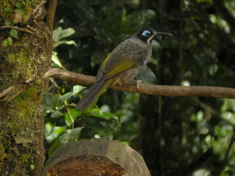
Among the species most often recorded on GBIF are Melidectes belfordi (Belford's Melidectes), Collocalia esculenta (White-bellied swiftlet), Astrapia splendidissima (Splendid Astrapia) and Paramythia olivacea (Western Crested Berrypecker).
© OpenStreetMap
Download the boundary: GeoJSON · GPX Boundary © OpenStreetMap contributors (ODbL).
Geography
The representative point of the site lies at around 64 m above sea level. Over the 1996–2025 period, the mean annual temperature is about 24.5 °C and total precipitation reaches roughly 7,106 mm per year. The warmest month is usually January, the coolest July, and the wettest June.
Area
- Area
- 2,350,000 ha
- Elevation
- 64 m
- Median elevation
- 1,005 m
- Mean slope
- 12°
- Coordinates
- -4.6297, 137.9727
Terrain: Mapzen Terrain Tiles (SRTM, USGS)
Elevation bands
- below 500 m 43%
- 500–1,000 m 7%
- 1,000–1,500 m 7%
- 1,500–2,000 m 6%
- 2,000–2,500 m 6%
- 2,500–3,000 m 9%
- above 3,000 m 22%
share of the site in each elevation band (smoothed terrain model: summits are rounded off) · Terrain: Mapzen Terrain Tiles (SRTM, USGS)
Main summits
- Puncak Jaya4,884 m
- Carstensz East4,884 m
- Sumantri4,870 m
- Ngga Pulu4,862 m
- Puncak Trikora4,751 m
Data: Wikidata (CC0), pending OpenStreetMap data
Climate
● Mean temperature (°C) · ▮ Precipitation (mm)
Source: Copernicus ERA5-Land (C3S, doi:10.24381/cds.68d2bb30), monthly averages 1996–2025 interpolated to the representative point, temperatures adjusted for elevation.
Contains modified Copernicus Climate Change Service information 2026. Neither the European Commission nor ECMWF is responsible for any use that may be made of the Copernicus information or data it contains.
Natural habitats
According to the global MODIS land cover (NASA, 2024), the site is mainly made up of forests (80%), marshes and bogs (10%) and heath and scrub (5%). It is mostly dense evergreen broadleaved forest. Elevation ranges from sea level to 4,884 m (highest point: Puncak Jaya). Median elevation is 1,005 m, and 22% of the site lies above 3,000 m (SRTM elevation model).
Biodiversity
Based on occurrences aggregated by GBIF, several species are regularly recorded within the site. Among the most frequent are Melidectes belfordi (Belford's Melidectes), Collocalia esculenta (White-bellied swiftlet), Astrapia splendidissima (Splendid Astrapia) and Paramythia olivacea (Western Crested Berrypecker). The full list of documented taxa is shown below.
Species to look out for
Bird
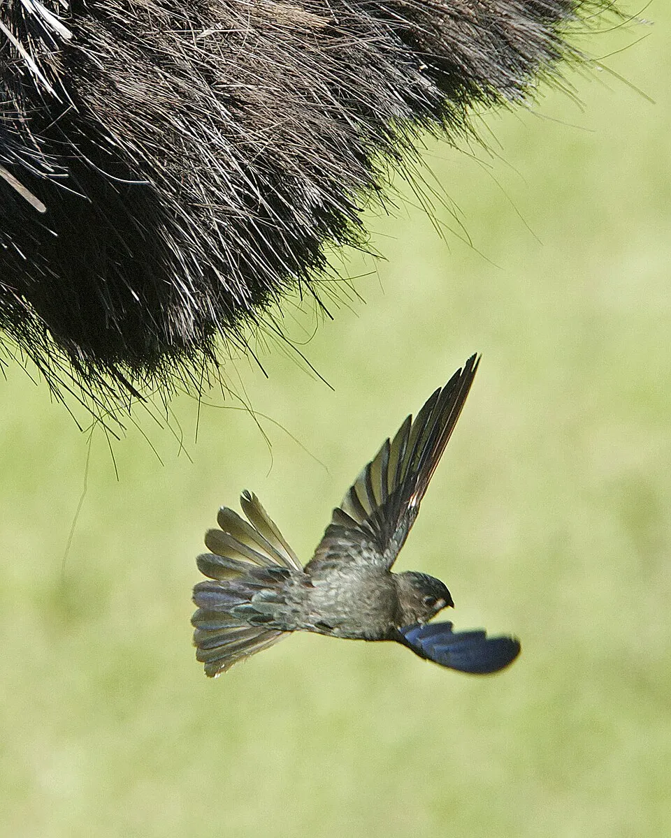
White-bellied swiftlet
Collocalia esculenta205 records © Lip Kee from Singapore, Republic of Singapore · CC BY-SA 2.0


Bird
Friendly Fantail
Rhipidura albolimbata176 records © Hosner P A, van Witteloostuijn A B · CC BY 4.0
Bird
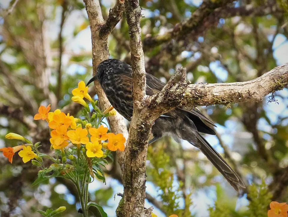
Grey-streaked honeyeater
Ptiloprora perstriata172 records © gailhampshire from Cradley, Malvern, U.K · CC BY 2.0
Observed species
Occurrences documented via GBIF; they are neither an exhaustive inventory nor proof of current presence.
- Belford's Melidectes · Melidectes belfordi · 257
- White-bellied swiftlet · Collocalia esculenta · 205
- Splendid Astrapia · Astrapia splendidissima · 190
- Western Crested Berrypecker · Paramythia olivacea · 180
- Friendly Fantail · Rhipidura albolimbata · 176
- Grey-streaked honeyeater · Ptiloprora perstriata · 172
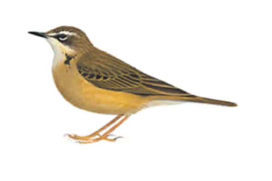
- Alpine Pipit · Anthus gutturalis · 161
- Red-collared myzomela · Myzomela rosenbergii · 155
- Common Smoky Honeyeater · Melipotes fumigatus · 154
- Short-bearded Honeyeater · Melionyx nouhuysi · 153
- Orange-billed Lorikeet · Neopsittacus pullicauda · 145
- Mountain Swiftlet · Aerodramus hirundinaceus · 142
+18 more species
- Lorentz's Whistler · Pachycephala lorentzi · 133
- MacGregor's Honeyeater · Macgregoria pulchra · 130
- Plum-faced Lorikeet · Oreopsittacus arfaki · 129
- Jamides coritus · 125
- Black-throated Honeyeater · Caligavis subfrenata · 113
- Western Alpine Munia · Lonchura montana · 110
- Painted Tiger Parrot · Psittacella picta · 108
- Delias meeki · 102
- Snow Mountain Quail · Synoicus monorthonyx · 101
- Papuan Grassbird · Megalurus macrurus · 91
- New Guinea Thornbill · Acanthiza murina · 88
- Dimorphic Fantail · Rhipidura brachyrhyncha · 85
- Papuan Scrubwren · Sericornis papuensis · 82
- Large Scrubwren · Sericornis nouhuysi · 76
- New Guinea Woodcock · Scolopax rosenbergii · 74
- Delias pheres · 72
- Fan-tailed Cuckoo · Cacomantis flabelliformis · 72
- Great Woodswallow · Artamus maximus · 71
Records: GBIF.org (CC-BY). Names: Wikidata (CC0), GBIF. Photos: Wikimedia Commons.
Conservation challenges
The primary purpose of the site is to preserve its natural habitats and the biodiversity they support. The species recorded (Biodiversity tab) reflect its ecological value. The designations it holds frame its management and the control of land use.
According to Global Forest Change data (University of Maryland, Global Forest Watch), about 12,420 ha of tree cover were lost within the boundary between 2001 and 2023 (under 1% of its area), peaking in 2015. These losses include logging, storms and fires, and do not account for regrowth. At night, the area gives off virtually no artificial light detectable from space (NASA VIIRS Black Marble composite, 2016).
Pressure indicators
Tree cover lost
12,420 ha
2001–2023 · < 1% of the area
20012023
Light at night
0%
of the area gives off artificial light visible from space
DarkLit
Sources: Global Forest Change (Hansen et al., University of Maryland, via Global Forest Watch, CC-BY 4.0); EFFIS, European Commission / Copernicus; NASA Black Marble 2016 (public domain); CORINE Land Cover 2018 (Copernicus) or MODIS.
Practical information
Cities and airport
- Airport: Wamena (WMX)
8 km as the crow flies
Things to see
3 lakes and ponds · 11 glaciers
- Danau Dugundugu
lake or pond · 4,129 m - Carstensz Pyramid Glacier
glacier - Lac Larson
lake or pond - Northwall Firn
glacier - Lake Habbema
lake or pond · 3,319 m
Data: Wikidata (CC0), pending OpenStreetMap data
Access and visiting
Nearest airport: Wamena (WMX), about 8 km away. About 850,000 people live within 20 km of the site boundary, 480,000 of them within 10 km; some 250,000 people are estimated to live inside (GHSL estimate, 2020). This population has grown by about 397% since 2000. To see: 3 lakes and ponds and 11 glaciers, including Danau Dugundugu (4,129 m), Carstensz Pyramid Glacier, Lac Larson and Northwall Firn. To plan a visit (access, opening periods, visitor rules), it is best to consult the official information from the managing body and the official website listed in this page's sources.
Source: Wikidata (CC0), November 2026.
When to visit
Best time to visit: the dry season, from November to March, with less than 360 mm of rain per month. Precipitation peaks from May to September (up to 1,090 mm per month). These averages apply to the site's representative point (64 m); higher up it is markedly cooler. Day length ranges from about 11 h 51 min in June to 12 h 23 min in December. Wildlife records published on GBIF peak for birds (July), plants (August), butterflies and moths (August) and mammals (June). These peaks also reflect when observers are most active.
Source: Copernicus ERA5-Land (C3S), monthly averages 1996–2025 at the representative point, temperatures adjusted for elevation.
Contains modified Copernicus Climate Change Service information 2026. Neither the European Commission nor ECMWF is responsible for any use that may be made of the Copernicus information or data it contains.
Wildlife records calendar
JFMAMJJASOND
Birds
Plants
Butterflies & moths
Mammals
Monthly records published on GBIF (CC-BY), relative to the busiest month; also reflects observer activity.
Gallery
© Ganjarmustika1904 · CC BY-SA 4.0
© RaiyaniM · CC BY-SA 4.0
© Ganjarmustika1904 · CC BY-SA 4.0
© Yobel Irnawan · CC BY-SA 4.0
© Enda Kaban · CC BY-SA 4.0
© Arfani Mujib · CC BY-SA 4.0
Sources and licences
- Wikidata: Q4516
- OpenStreetMap: relation 19464104
- Wikipedia: en.wikipedia.org/wiki/Lorentz_National_Park
- WDPA: 198298
References
- cds.climate.copernicus.eu: climate · CC-BY-4.0
- registry.opendata.aws: elevation of the reference point, detailed relief · PD
- lpdaac.usgs.gov: land cover · PD
- doi.org: population around the site · CC-BY-4.0
- naturalearthdata.com: sea share · PD
- wikidata.org: official area, highest point, establishment date, nearby cities and airport, access and peaks, lake depths, places to see · CC0-1.0
- en.eurovelo.com: EuroVelo cycle routes · ODbL-1.0
- cycling.waymarkedtrails.org: cycle routes · ODbL-1.0
- opentopodata.org: elevations · PD
- globalforestwatch.org: tree cover loss · CC-BY-4.0
- gbif.org: seasonality of sightings, invasive alien species, observed species · CC-BY-4.0
- openstreetmap.org: official name · ODbL-1.0
- earthobservatory.nasa.gov: night light · PD
- nsidc.org: snow cover · PD
- wikidata.org: Wikipedia article · CC-BY-SA-4.0
Data © OpenStreetMap contributors (ODbL), Wikidata (CC0) and the sources cited.
