
Australia · Terrestrial
Maryland National Park
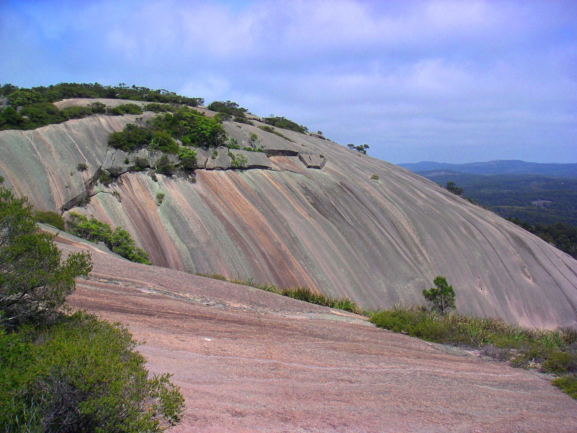
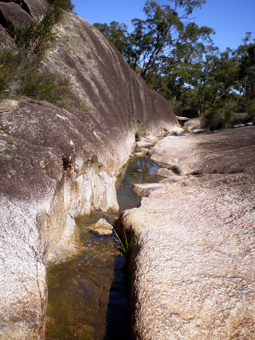
National park of 2,281 hectares in Australia, established in 1999.
AI-generated illustration (Magnific) · typical landscape, not a photo of this place
Overview
National park of 2,281 hectares in Australia, established in 1999.
Maryland National Park is located in Australia (Oceania). It is a predominantly terrestrial area. Established in 1999, it covers about 2,281 hectares. The site is managed by NSW National Parks and Wildlife Service.
In our collections
Frequently asked questions
Where is Maryland National Park?
In Australia (Oceania). Representative point: 28.5047° S, 152.0778° E.
How large is Maryland National Park?
About 2,281 hectares (23 km²). It is the 479th largest of the 678 national parks in Australia covered by Parkavela.
When was Maryland National Park established?
In 1999.
What habitats and landscapes does Maryland National Park include?
A terrestrial area, with forests.
When is the best time to visit Maryland National Park?
Best time to visit: April and May, with average temperatures of 11 to 15 °C and moderate rainfall.
What is the nearest airport to Maryland National Park?
Nearest airport: Toowoomba City Aerodrome (TWB), about 104 km away.
How can I reach Maryland National Park by train?
The nearest railway station is The Summit, about 12 km from the site boundary.
Which species can be seen in Maryland National Park?
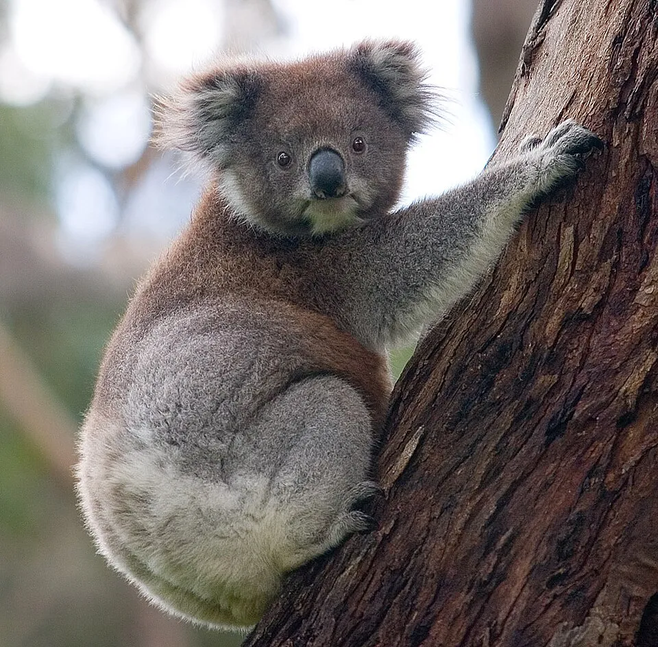
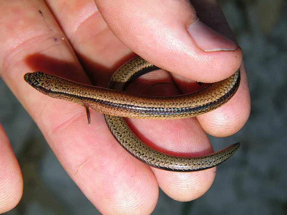
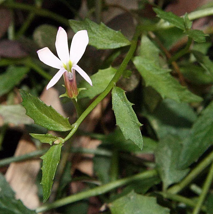
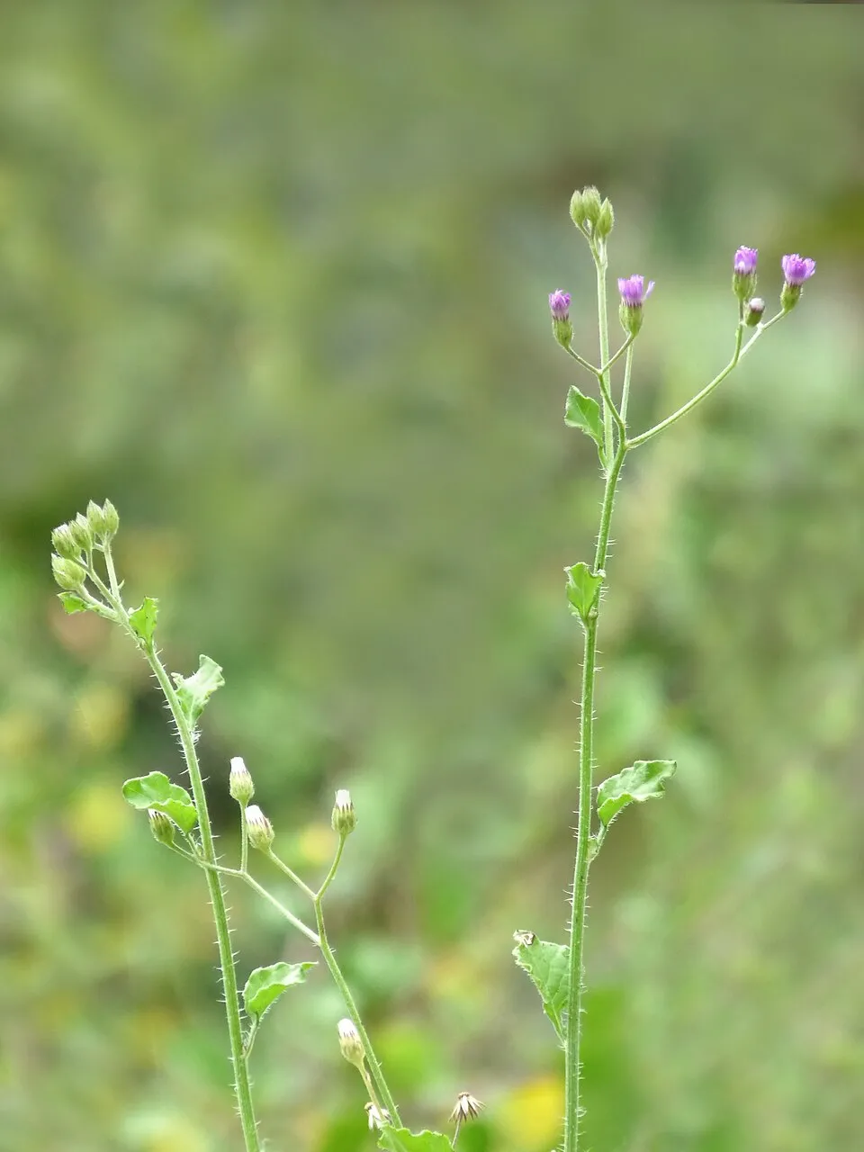
Among the species most often recorded on GBIF are Phascolarctos cinereus (Koala), Saiphos equalis (Yellow-bellied Three-toed Skink), Lobelia purpurascens and Cyanthillium cinereum (Little ironweed).
Who manages Maryland National Park?
NSW National Parks and Wildlife Service.
© OpenStreetMap
Download the boundary: GeoJSON · GPX Boundary © OpenStreetMap contributors (ODbL).
Geography
The representative point of the site lies at around 927 m above sea level. Over the 1996–2025 period, the mean annual temperature is about 14.7 °C and total precipitation reaches roughly 743 mm per year. The warmest month is usually January, the coolest July, and the wettest December.
Area
- Area
- 2,281 ha
- Elevation
- 927 m
- Median elevation
- 888 m
- Mean slope
- 6°
- Coordinates
- -28.5047, 152.0778
Terrain: Mapzen Terrain Tiles (SRTM, USGS)
Climate
● Mean temperature (°C) · ▮ Precipitation (mm)
Source: Copernicus ERA5-Land (C3S, doi:10.24381/cds.68d2bb30), monthly averages 1996–2025 interpolated to the representative point, temperatures adjusted for elevation.
Contains modified Copernicus Climate Change Service information 2026. Neither the European Commission nor ECMWF is responsible for any use that may be made of the Copernicus information or data it contains.
Natural habitats
According to the global MODIS land cover (NASA, 2024), the site is mainly made up of forests (94%). It is mostly dense evergreen broadleaved forest. Elevation ranges from about 820 to 940 m (sampled elevations, SRTM).
Biodiversity
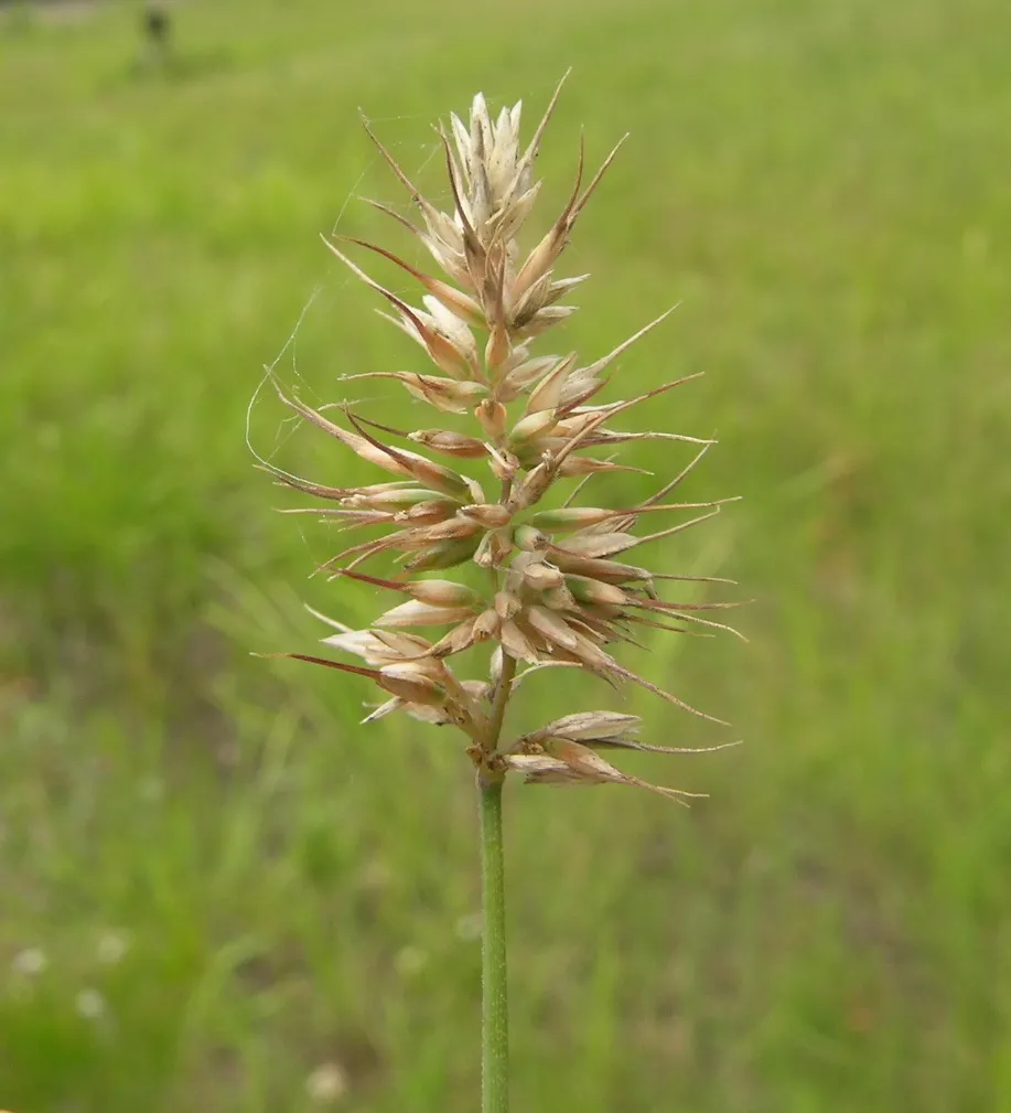
Based on occurrences aggregated by GBIF, several species are regularly recorded within the site. Among the most frequent are Phascolarctos cinereus (Koala), Saiphos equalis (Yellow-bellied Three-toed Skink), Lobelia purpurascens and Cyanthillium cinereum (Little ironweed). The full list of documented taxa is shown below.
Species to look out for

Observed species
Occurrences documented via GBIF; they are neither an exhaustive inventory nor proof of current presence.
- Koala · Phascolarctos cinereus · 117
- Yellow-bellied Three-toed Skink · Saiphos equalis · 106
- Lobelia purpurascens · 56
- Little ironweed · Cyanthillium cinereum · 49
- Tufted Hedgehog Grass · Echinopogon caespitosus · 47
- Native Summer Grass · Digitaria ramularis · 46
- Furry nightshade · Solanum densevestitum · 45
- Grona varians · 42
- Wombat berry · Eustrephus latifolius · 40
- Round sawsedge · Gahnia aspera · 39
- Fern-leaved Wattle · Acacia filicifolia · 37
- Australian lovegrass · Eragrostis leptostachya · 36
+18 more species
- Tiger quoll · Dasyurus maculatus · 35
- Gray gum · Eucalyptus punctata · 34
- Twining glycine · Glycine clandestina · 34
- Barbwire grass · Cymbopogon refractus · 33
- Mulga fern · Cheilanthes sieberi · 33
- Australian panicgrass · Entolasia marginata · 32
- New England Blackbutt · Eucalyptus andrewsii · 32
- Meadow ricegrass · Microlaena stipoides · 31
- Vinegartree · Lophostemon confertus · 31
- Basketgrass · Oplismenus hirtellus · 30
- White-throated Treecreeper · Cormobates leucophaea · 29
- Small Poranthera · Poranthera microphylla · 29
- Austral bracken · Pteridium esculentum · 29
- Spotted Pardalote · Pardalotus punctatus · 28
- Forest-oak · Allocasuarina torulosa · 28
- Yellow-faced Honeyeater · Caligavis chrysops · 28
- Long mat-rush · Lomandra longifolia · 27
- Woody-rooted Yellow-sorrel · Oxalis perennans · 25
Records: GBIF.org (CC-BY). Names: Wikidata (CC0), GBIF. Photos: Wikimedia Commons.
Conservation challenges
The primary purpose of the site is to preserve its natural habitats and the biodiversity they support. The species recorded (Biodiversity tab) reflect its ecological value. Its status as a national park sets the regulatory framework for its protection.
According to Global Forest Change data (University of Maryland, Global Forest Watch), about 55 ha of tree cover were lost within the boundary between 2001 and 2023 (2% of its area), peaking in 2003 and 2017. These losses include logging, storms and fires, and do not account for regrowth. At night, the area gives off virtually no artificial light detectable from space (NASA VIIRS Black Marble composite, 2016). Since 2000, 21 invasive alien species have been recorded within the site (GBIF observations). Among them: Commelina cyanea (Creeping Christian), Erigeron sumatrensis (Guernsey fleabane) and Lantana camara (Lantana).
Pressure indicators
Tree cover lost
55 ha
2001–2023 · 2% of the area
20012023
Light at night
0%
of the area gives off artificial light visible from space
DarkLit
Invasive alien species
21
recorded since 2000
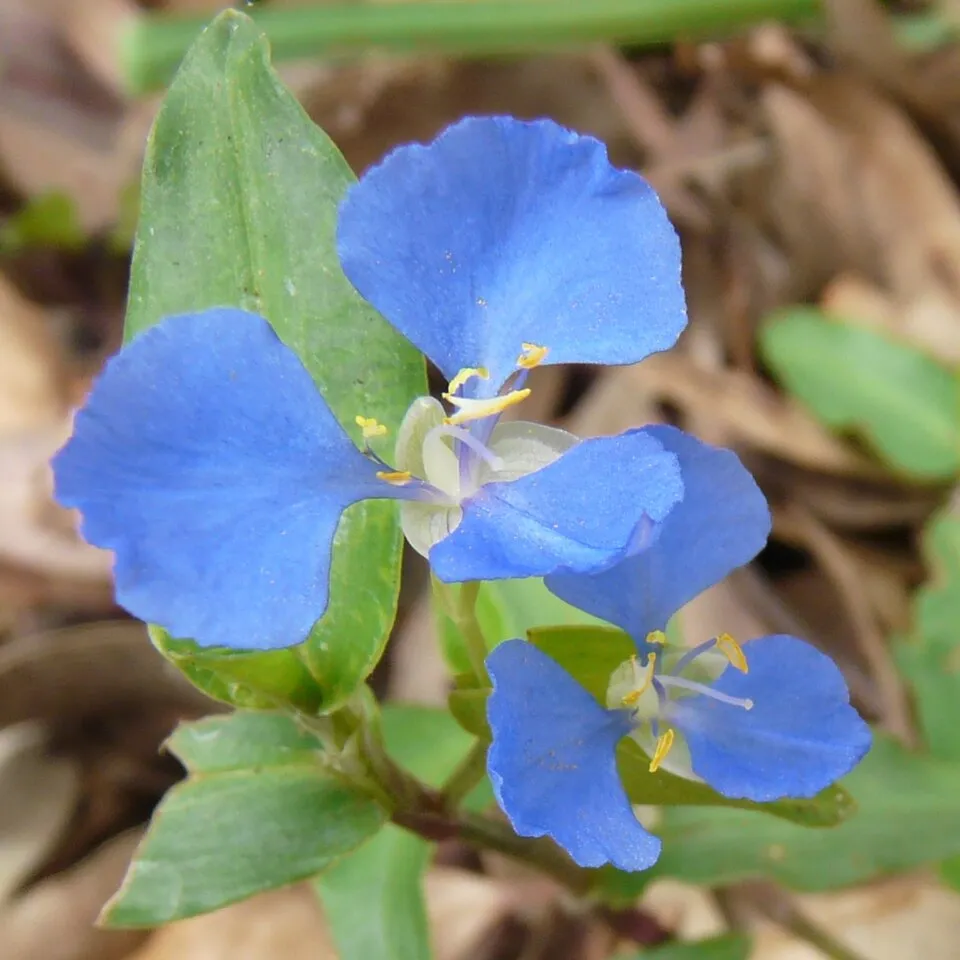 Creeping Christian
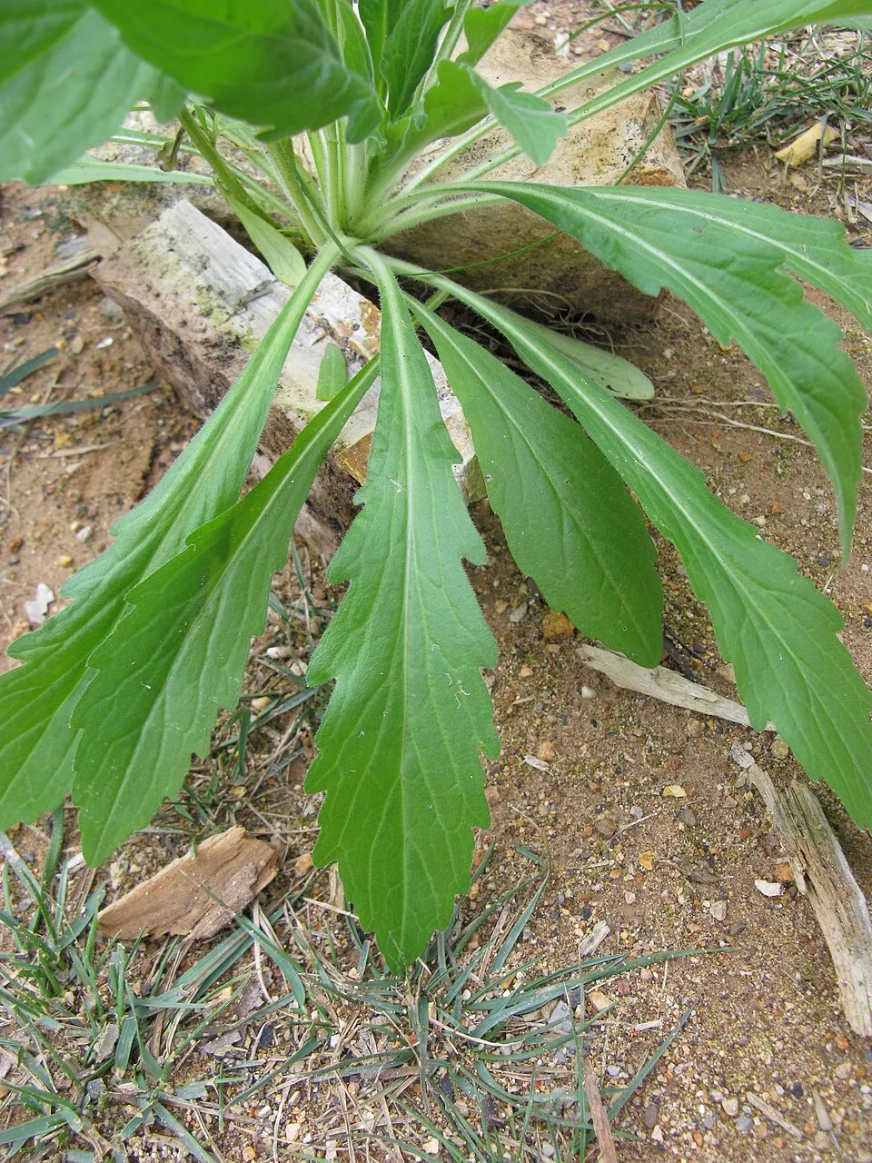 Guernsey fleabane
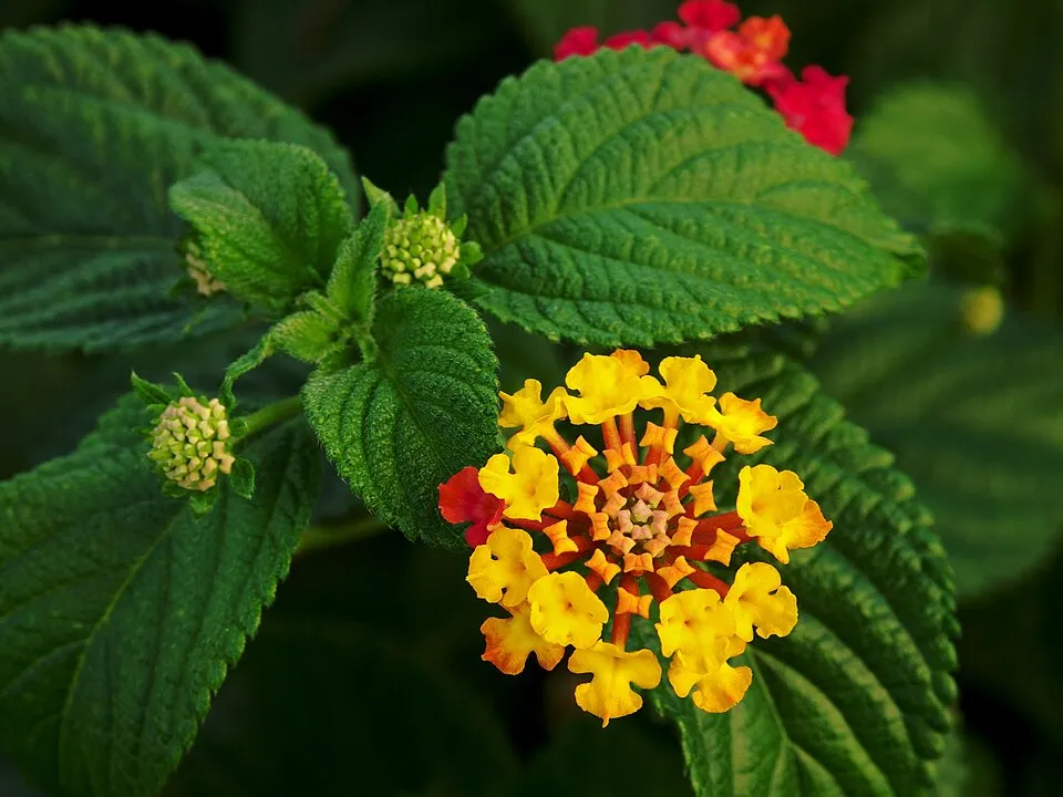 Lantana
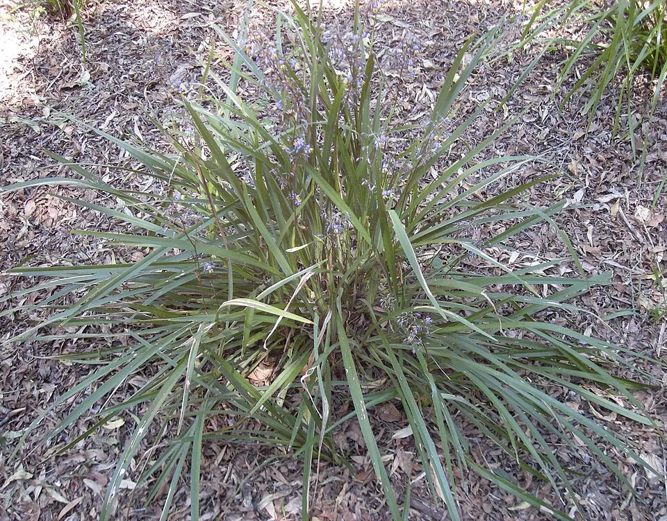 Cerulean flaxlily
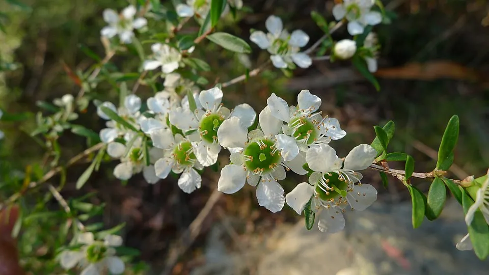 Tantoon
 Brown's love grass
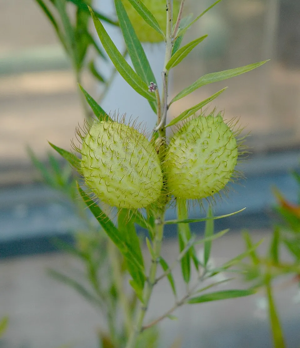 Swan Plant
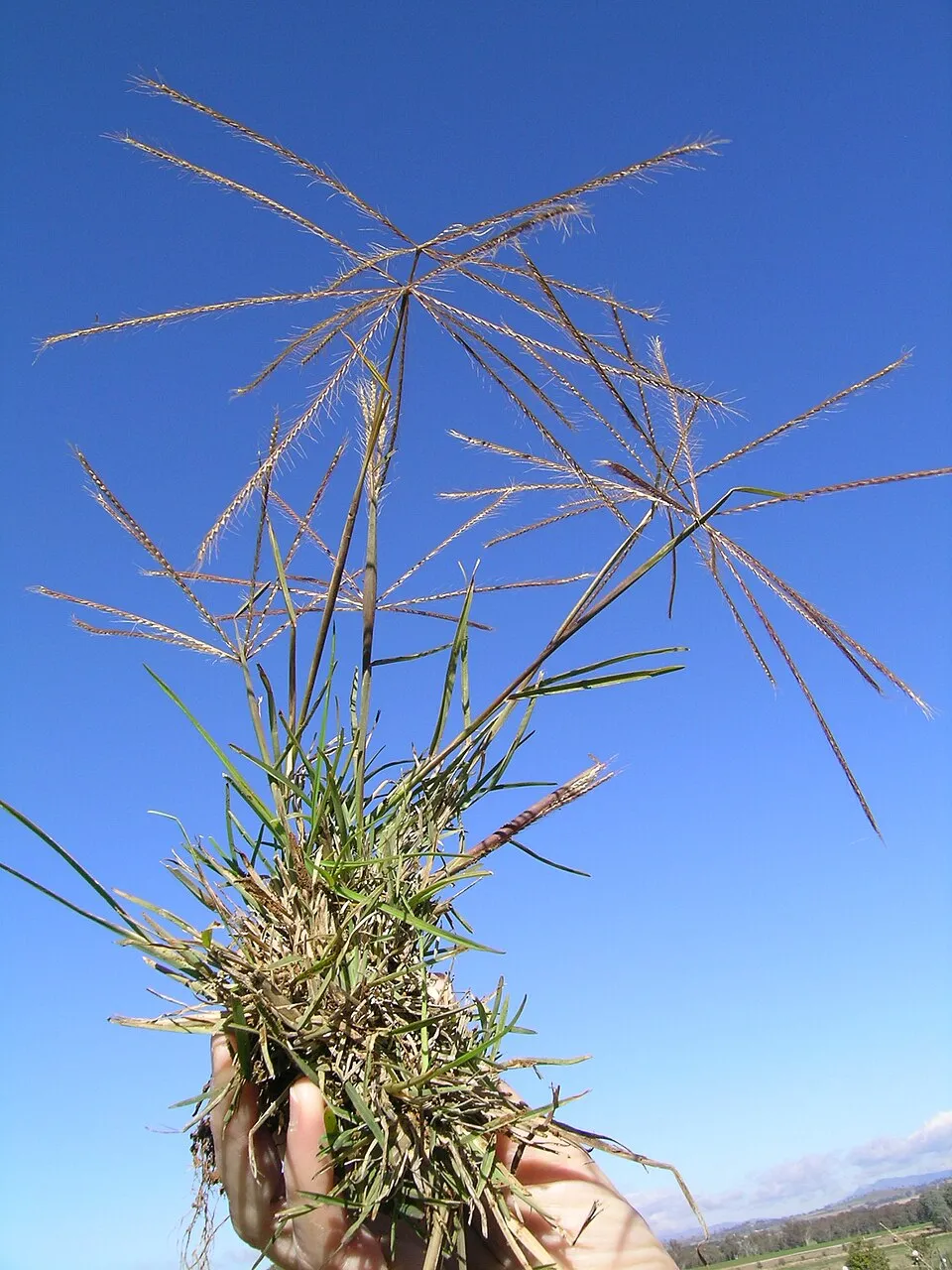 Australian fingergrass
Photos: Creeping Christian © Mike Young · CC BY-SA 3.0; Guernsey fleabane © Harry Rose from South West Rocks, Australia · CC BY 2.0; Lantana © Alvesgaspar · CC BY-SA 3.0; Cerulean flaxlily © Ethel Aardvark · CC BY-SA 3.0; Tantoon © John Tann from Sydney, Australia · CC BY 2.0; Brown's love grass © Forest & Kim Starr · CC BY 3.0; Swan Plant © Carstor · CC BY-SA 3.0; Australian fingergrass © Macleay Grass Man · CC BY 2.0
Sources: Global Forest Change (Hansen et al., University of Maryland, via Global Forest Watch, CC-BY 4.0); EFFIS, European Commission / Copernicus; NASA Black Marble 2016 (public domain); CORINE Land Cover 2018 (Copernicus) or MODIS.
Invasive alien species: Global Register of Introduced and Invasive Species (ISSG, CC BY 4.0); Union list, Regulation (EU) 1143/2014 (INBO, CC0); GBIF.org records (CC0 / CC BY 4.0), at least 2 per species.
Practical information
Cities and airport
- Airport: Toowoomba City Aerodrome (TWB)
104 km as the crow flies
Data © OpenStreetMap contributors (ODbL) · Wikidata (CC0)
Access and visiting
The nearest railway station is The Summit, about 12 km from the site boundary. Nearest airport: Toowoomba City Aerodrome (TWB), about 104 km away. About 6,600 people live within 20 km of the site boundary, 610 of them within 10 km; the site itself is virtually uninhabited (GHSL estimate, 2020). To plan a visit (access, opening periods, visitor rules), it is best to consult the official information from the managing body (NSW National Parks and Wildlife Service) and the official website listed in this page's sources.
Source: OpenStreetMap (ODbL), Wikidata (CC0), November 2026.
When to visit
Best time to visit: April and May, with average temperatures of 11 to 15 °C and moderate rainfall. Precipitation peaks in December and January (up to 100 mm per month). Day length ranges from about 10 h 20 min in June to 13 h 57 min in December. Wildlife records published on GBIF peak for birds (July), plants (February and March) and mammals (December). These peaks also reflect when observers are most active.
Source: Copernicus ERA5-Land (C3S), monthly averages 1996–2025 at the representative point, temperatures adjusted for elevation.
Contains modified Copernicus Climate Change Service information 2026. Neither the European Commission nor ECMWF is responsible for any use that may be made of the Copernicus information or data it contains.
Wildlife records calendar
JFMAMJJASOND
Birds
Plants
Mammals
Monthly records published on GBIF (CC-BY), relative to the busiest month; also reflects observer activity.
Sources and licences
- Wikidata: Q1608651
- OpenStreetMap: relation 5971370
- Wikipedia: en.wikipedia.org/wiki/Maryland_National_Park
- WDPA: 310122
References
- cds.climate.copernicus.eu: climate · CC-BY-4.0
- registry.opendata.aws: elevation of the reference point, detailed relief · PD
- lpdaac.usgs.gov: land cover · PD
- doi.org: population around the site · CC-BY-4.0
- naturalearthdata.com: sea share · PD
- wikidata.org: official area, establishment date, protected heritage, managing body, official name, nearby cities and airport, access and peaks, lake depths, places to see · CC0-1.0
- en.eurovelo.com: EuroVelo cycle routes · ODbL-1.0
- cycling.waymarkedtrails.org: cycle routes · ODbL-1.0
- opentopodata.org: elevations · PD
- globalforestwatch.org: tree cover loss · CC-BY-4.0
- gbif.org: seasonality of sightings, invasive alien species, observed species · CC-BY-4.0
- earthobservatory.nasa.gov: night light · PD
- openstreetmap.org: access and peaks, trail difficulty · ODbL-1.0
- nsidc.org: snow cover · PD
- wikidata.org: Wikipedia article · CC-BY-SA-4.0
Data © OpenStreetMap contributors (ODbL), Wikidata (CC0) and the sources cited.