Madagascar · Terrestrial
Mikea National Park
National park in Madagascar.
Overview
National park in Madagascar.
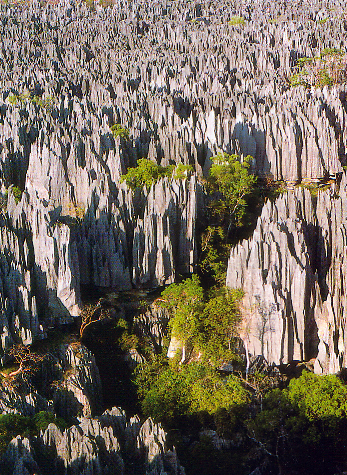
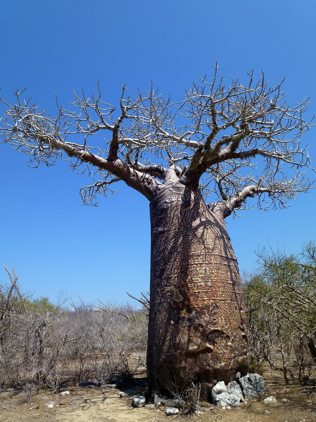
Mikea National Park is located in Madagascar (Africa). It is a predominantly terrestrial area.
Protections and designations
UNESCO World Heritage
Protected as a national park. International labels and designations: UNESCO World Heritage (“Andrefana Dry Forests”).
In our collections
Frequently asked questions
Where is Mikea National Park?
In Madagascar (Africa). Representative point: 22.3375° S, 43.3510° E.
What habitats and landscapes does Mikea National Park include?
A terrestrial area.
Which international labels apply to Mikea National Park?
UNESCO World Heritage (“Andrefana Dry Forests”).
When is the best time to visit Mikea National Park?
Best time to visit: the dry season, from May to September, with less than 10 mm of rain per month.
Which species can be seen in Mikea National Park?
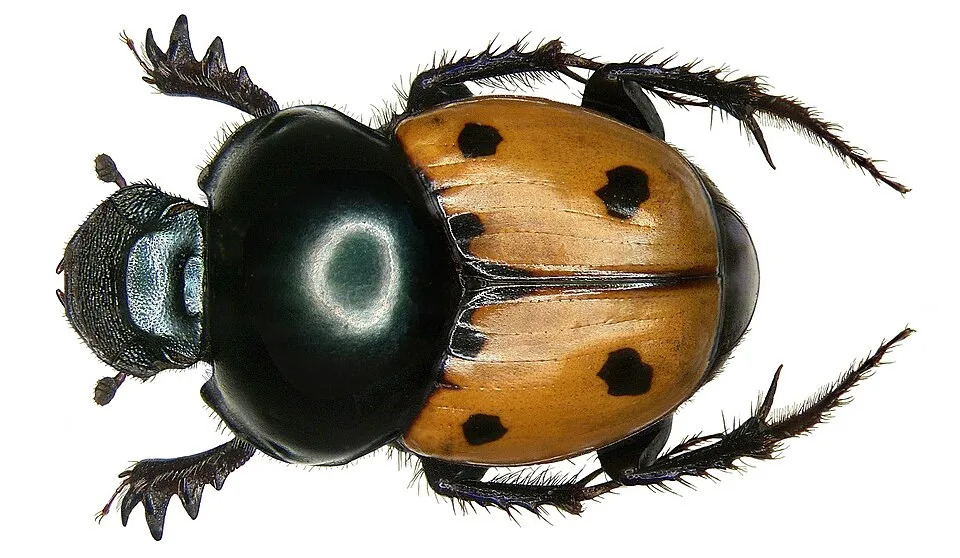
Among the species most often recorded on GBIF are Typhleotris pauliani, Helictopleurus neoamplicollis, Pongamiopsis pervilleana and Scarabaeus radama.
© OpenStreetMap
Download the boundary: GeoJSON · GPX Boundary © OpenStreetMap contributors (ODbL).
Geography
The representative point of the site lies at around 39 m above sea level. Over the 1996–2025 period, the mean annual temperature is about 25.5 °C and total precipitation reaches roughly 776 mm per year. The warmest month is usually December, the coolest July, and the wettest January.
Area
- Elevation
- 39 m
- Coordinates
- -22.3375, 43.351
Climate
● Mean temperature (°C) · ▮ Precipitation (mm)
Source: Copernicus ERA5-Land (C3S, doi:10.24381/cds.68d2bb30), monthly averages 1996–2025 interpolated to the representative point, temperatures adjusted for elevation.
Contains modified Copernicus Climate Change Service information 2026. Neither the European Commission nor ECMWF is responsible for any use that may be made of the Copernicus information or data it contains.
Biodiversity
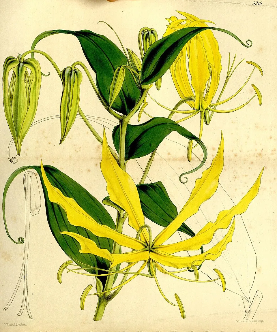
Based on occurrences aggregated by GBIF, several species are regularly recorded within the site. Among the most frequent are Typhleotris pauliani, Helictopleurus neoamplicollis, Pongamiopsis pervilleana and Scarabaeus radama. The full list of documented taxa is shown below.
Species to look out for

Observed species
Occurrences documented via GBIF; they are neither an exhaustive inventory nor proof of current presence.
- Typhleotris pauliani · 38
- Helictopleurus neoamplicollis · 18
- Pongamiopsis pervilleana · 17
- Scarabaeus radama · 15
- Helictopleurus quadripunctatus · 14
- Ormocarpopsis tulearensis · 12
- Grandidier's Sewervine · Paederia grandidieri · 11
- Grewia cyclea · 11
- Suregada decidua · 9
- Neobeguea mahafaliensis · 9
- Pentopetia ovalifolia · 9
- Erythroxylum leandrianum · 8
+18 more species
- Distephanus antandroy · 8
- Grewia androyensis · 8
- Gloriosa simplex · 7
- Tetrapterocarpon geayi · 7
- Mimosa grandidieri · 7
- Anacolosa pervilleana · 7
- Boscia madagascariensis · 7
- Opisthacanthus punctulatus · 7
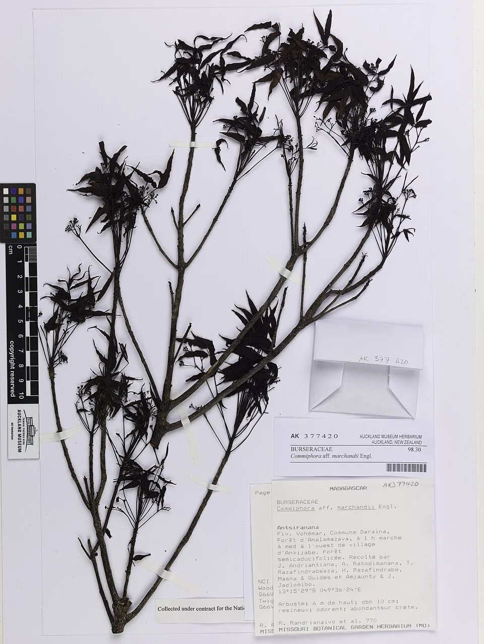
- Commiphora marchandii · 7
- Gazelle Scarab · Digitonthophagus gazella · 6
- Euphorbia randrianijohanyi · 6
- Pentopetia androsaemifolia · 6
- Tristellateia greveana · 6
- Phyllarthron bernierianum · 6
- Phyllanthus casticum · 6
- Colubrina decipiens · 6
- Cordia mairei · 6
- Humbertiella decaryi · 6
Records: GBIF.org (CC-BY). Names: Wikidata (CC0), GBIF. Photos: Wikimedia Commons.
Conservation challenges
The primary purpose of the site is to preserve its natural habitats and the biodiversity they support. The species recorded (Biodiversity tab) reflect its ecological value. The designations it holds frame its management and the control of land use.
Pressure indicators
Invasive alien species
1
recorded since 2000
Sources: Global Forest Change (Hansen et al., University of Maryland, via Global Forest Watch, CC-BY 4.0); EFFIS, European Commission / Copernicus; NASA Black Marble 2016 (public domain); CORINE Land Cover 2018 (Copernicus) or MODIS.
Invasive alien species: Global Register of Introduced and Invasive Species (ISSG, CC BY 4.0); Union list, Regulation (EU) 1143/2014 (INBO, CC0); GBIF.org records (CC0 / CC BY 4.0), at least 2 per species.
Access and visiting
To plan a visit (access, opening periods, visitor rules), it is best to consult the official information from the managing body and the official website listed in this page's sources.
When to visit
Best time to visit: the dry season, from May to September, with less than 10 mm of rain per month. Precipitation peaks from December to March (up to 260 mm per month). Day length ranges from about 10 h 46 min in June to 13 h 30 min in December.
Source: Copernicus ERA5-Land (C3S), monthly averages 1996–2025 at the representative point, temperatures adjusted for elevation.
Contains modified Copernicus Climate Change Service information 2026. Neither the European Commission nor ECMWF is responsible for any use that may be made of the Copernicus information or data it contains.
Gallery
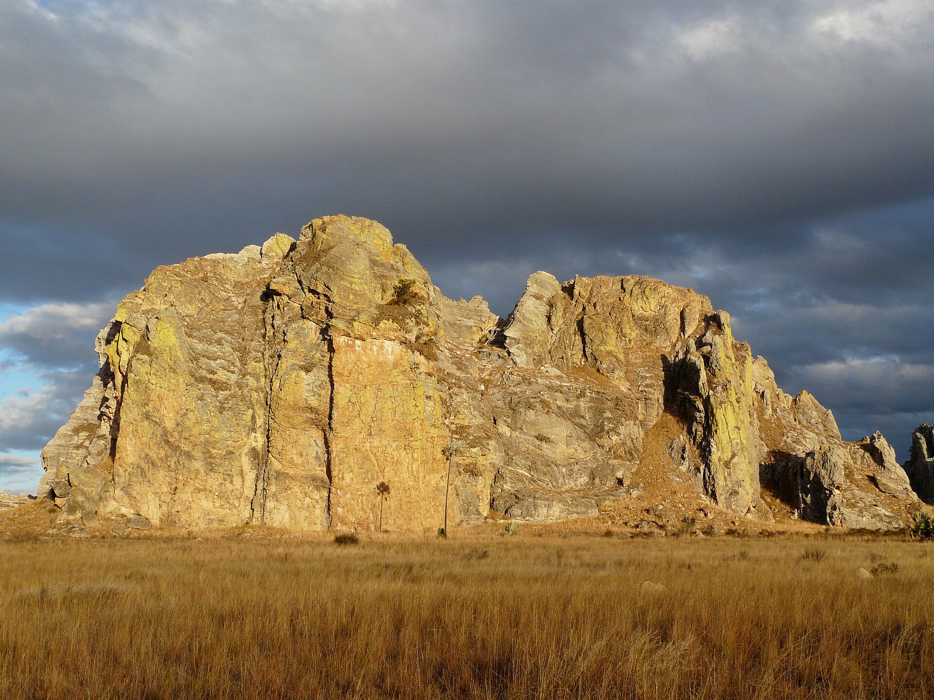
© Hiroki Ogawa · CC BY 3.0
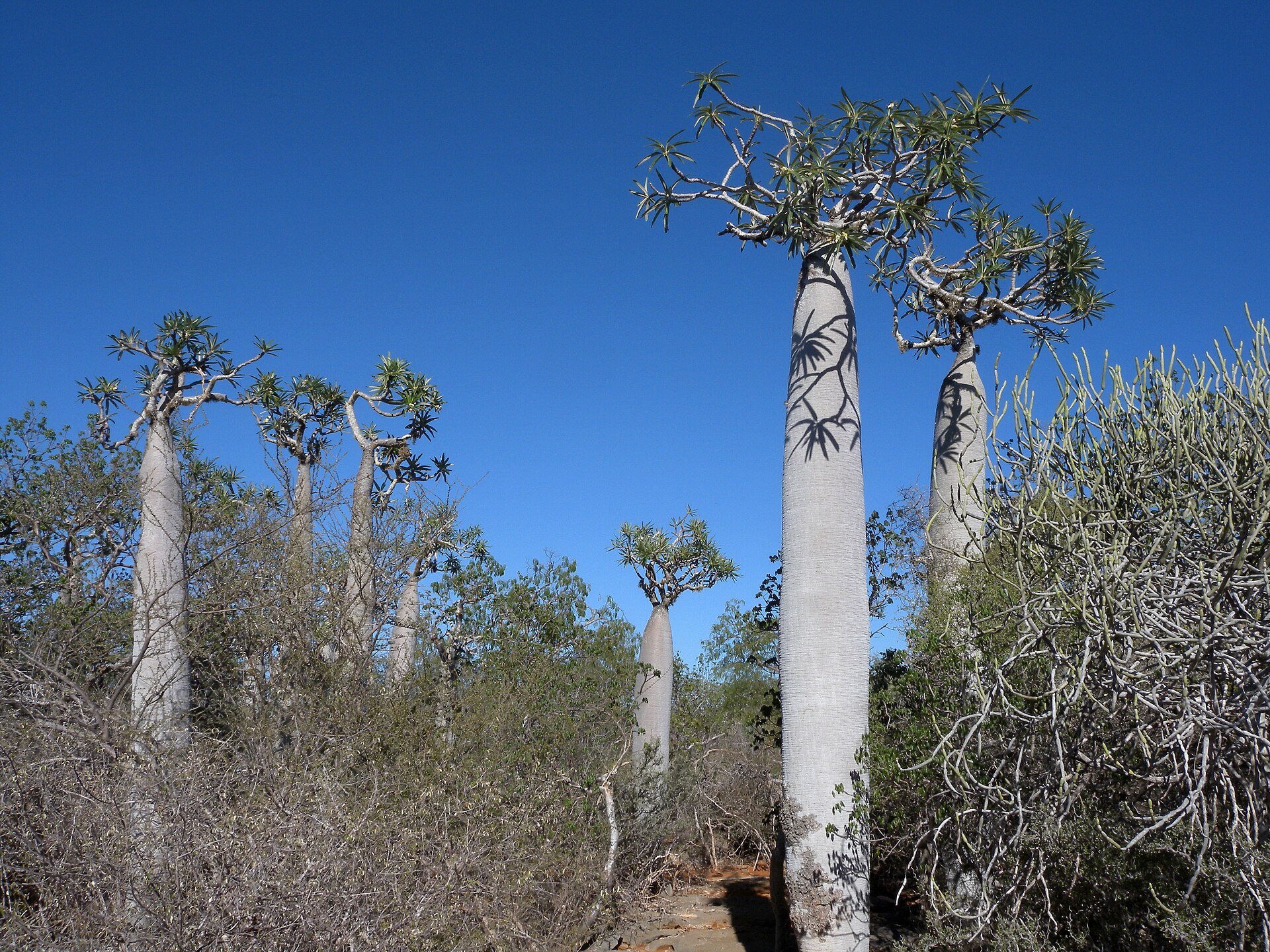
© Hiroki Ogawa · CC BY 3.0
Sources and licences
- Wikidata: Q27576375
- OpenStreetMap: relation 17545731
- Wikipedia: en.wikipedia.org/wiki/Mikea_National_Park
References
- cds.climate.copernicus.eu: climate · CC-BY-4.0
- registry.opendata.aws: elevation of the reference point · PD
- land.copernicus.eu: land cover · COPERNICUS
- naturalearthdata.com: sea share · PD
- opentopodata.org: elevations · PD
- gbif.org: invasive alien species, observed species · CC-BY-4.0
- wikidata.org: official name, nearby cities and airport · CC0-1.0
- openstreetmap.org: access and peaks, trail difficulty · ODbL-1.0
- nsidc.org: snow cover · PD
- wikidata.org: Wikipedia article · CC-BY-SA-4.0
Data © OpenStreetMap contributors (ODbL), Wikidata (CC0) and the sources cited.