Australia · Terrestrial
Moore River National Park
National park of 17,500 hectares in Australia, established in 1969.
Overview
National park of 17,500 hectares in Australia, established in 1969.
Moore River National Park is located in Australia (Oceania). It is a predominantly terrestrial area. Established in 1969, it covers about 17,500 hectares. The site is managed by Department of Parks and Wildlife.
In our collections
Frequently asked questions
Where is Moore River National Park?
In Australia (Oceania). Representative point: 31.0867° S, 115.6460° E.
How large is Moore River National Park?
About 17,500 hectares (175 km²). It is the 218th largest of the 678 national parks in Australia covered by Parkavela.
When was Moore River National Park established?
In 1969.
What habitats and landscapes does Moore River National Park include?
A terrestrial area, where land cover is dominated by grassland and meadows (70%).
When is the best time to visit Moore River National Park?
Best time to visit: from September to April, with average temperatures of 14 to 26 °C and moderate rainfall.
What is the nearest large city to Moore River National Park?
Nearest towns of over 50,000 people, as the crow flies: Perth (89 km). Nearest airport: Perth (PER), about 89 km away.
Which species can be seen in Moore River National Park?
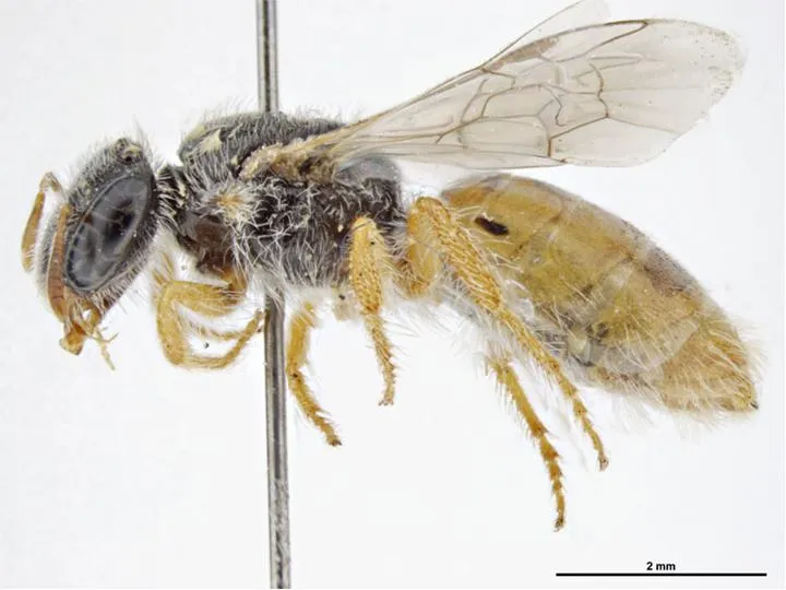
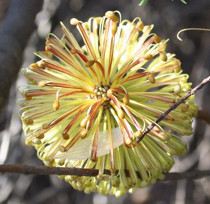
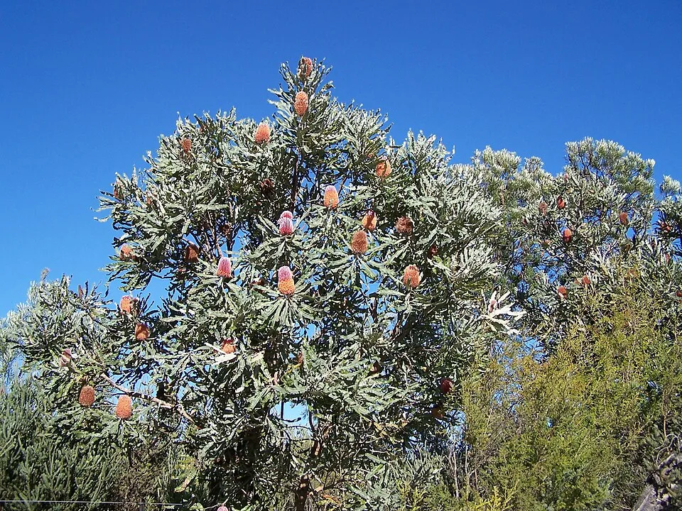
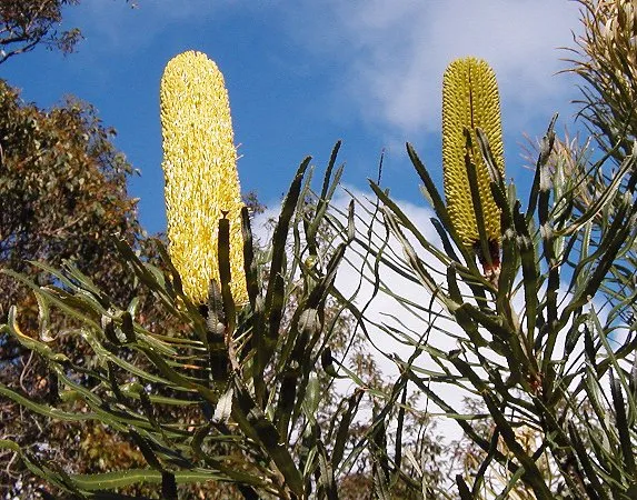
Among the species most often recorded on GBIF are Euhesma morrisoni, Banksia laricina (Rose banksia), Banksia menziesii (Menzie's banksia) and Banksia attenuata (Slender banksia).
Who manages Moore River National Park?
Department of Parks and Wildlife.
What is the official website of Moore River National Park?
dec.wa.gov.au/component/option,com_hotproperty/task,view/id,150/Itemid,1584
© OpenStreetMap
Download the boundary: GeoJSON · GPX Boundary © OpenStreetMap contributors (ODbL).
Geography
The representative point of the site lies at around 75 m above sea level. Over the 1996–2025 period, the mean annual temperature is about 19.0 °C and total precipitation reaches roughly 418 mm per year. The warmest month is usually February, the coolest July, and the wettest July.
Area
- Area
- 17,500 ha
- Elevation
- 75 m
- Coordinates
- -31.0867, 115.646
Climate
● Mean temperature (°C) · ▮ Precipitation (mm)
Source: Copernicus ERA5-Land (C3S, doi:10.24381/cds.68d2bb30), monthly averages 1996–2025 interpolated to the representative point, temperatures adjusted for elevation.
Contains modified Copernicus Climate Change Service information 2026. Neither the European Commission nor ECMWF is responsible for any use that may be made of the Copernicus information or data it contains.
Natural habitats
According to the global MODIS land cover (NASA, 2024), the site is mainly made up of grassland and meadows (70%) and heath and scrub (30%). The land is almost flat (mean slope under 2°).
Biodiversity
Based on occurrences aggregated by GBIF, several species are regularly recorded within the site. Among the most frequent are Euhesma morrisoni, Banksia laricina (Rose banksia), Banksia menziesii (Menzie's banksia) and Banksia attenuata (Slender banksia). The full list of documented taxa is shown below.
Species to look out for
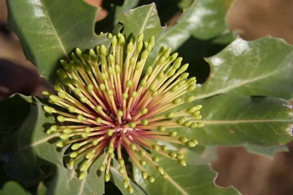
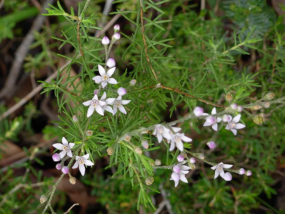
Observed species
Occurrences documented via GBIF; they are neither an exhaustive inventory nor proof of current presence.
- Euhesma morrisoni · 128
- Rose banksia · Banksia laricina · 83
- Menzie's banksia · Banksia menziesii · 57
- Slender banksia · Banksia attenuata · 55
- Acidobacterium spec. · 54
- Holly-Leaved Banksia · Banksia ilicifolia · 30
- Devosia spec. · 28
- Philotheca spicata · 27
- Chordifex sinuosus · 26
- Spiked scholtzia · Scholtzia obovata · 24
- Lysinema elegans · 24
- Styphelia xerophylla · 24
+18 more species
- Andersonia heterophylla · 24
- Melaleuca rariflora · 24
- Christmas morrison · Verticordia nitens · 23
- Yellow Buttercups · Hibbertia hypericoides · 22
- Schlegelella spec. · 21
- Paenibacillus spec. · 21
- Lyginia barbata · 21
- Petrophile brevifolia · 21
- Snakebush · Hemiandra pungens · 21
- Granulicella spec. · 20
- Conostephium pendulum · 20
- Common woollybush · Adenanthos cygnorum · 20
- Elegant beaufortia · Melaleuca scitula · 19
- Swamp Teatree · Pericalymma ellipticum · 18
- Blue Boy · Stirlingia latifolia · 18
- Plume smokebush · Conospermum incurvum · 18
- Winter bell · Blancoa canescens · 18
- Jacksonia nutans · 18
Records: GBIF.org (CC-BY). Names: Wikidata (CC0), GBIF. Photos: Wikimedia Commons.
Conservation challenges
The primary purpose of the site is to preserve its natural habitats and the biodiversity they support. The species recorded (Biodiversity tab) reflect its ecological value. Its status as a national park sets the regulatory framework for its protection.
According to Global Forest Change data (University of Maryland, Global Forest Watch), about 4,070 ha of tree cover were lost within the boundary between 2001 and 2023 (23% of its area), peaking in 2005 and 2007. These losses include logging, storms and fires, and do not account for regrowth. At night, the area gives off virtually no artificial light detectable from space (NASA VIIRS Black Marble composite, 2016).
Pressure indicators
Tree cover lost
4,071 ha
2001–2023 · 23% of the area
20012023
Light at night
0%
of the area gives off artificial light visible from space
DarkLit
Invasive alien species
1
recorded since 2000
Sources: Global Forest Change (Hansen et al., University of Maryland, via Global Forest Watch, CC-BY 4.0); EFFIS, European Commission / Copernicus; NASA Black Marble 2016 (public domain); CORINE Land Cover 2018 (Copernicus) or MODIS.
Invasive alien species: Global Register of Introduced and Invasive Species (ISSG, CC BY 4.0); Union list, Regulation (EU) 1143/2014 (INBO, CC0); GBIF.org records (CC0 / CC BY 4.0), at least 2 per species.
Practical information
Cities and airport
- Perth
89 km as the crow flies - Airport: Perth (PER)
89 km as the crow flies
Data © OpenStreetMap contributors (ODbL) · Wikidata (CC0)
Access and visiting
Nearest towns of over 50,000 people, as the crow flies: Perth (89 km). Nearest airport: Perth (PER), about 89 km away. Fewer than 5,000 people live within 20 km of the site boundary, a very sparsely populated area; the site itself is virtually uninhabited (GHSL estimate, 2020). To plan a visit (access, opening periods, visitor rules), it is best to consult the official information from the managing body (Department of Parks and Wildlife) and the official website listed in this page's sources.
Source: OpenStreetMap (ODbL), Wikidata (CC0), November 2026.
When to visit
Best time to visit: from September to April, with average temperatures of 14 to 26 °C and moderate rainfall. Precipitation peaks in July and August (up to 80 mm per month). Day length ranges from about 10 h 08 min in June to 14 h 09 min in December. Wildlife records published on GBIF peak for birds (August and September) and plants (October). These peaks also reflect when observers are most active.
Source: Copernicus ERA5-Land (C3S), monthly averages 1996–2025 at the representative point, temperatures adjusted for elevation.
Contains modified Copernicus Climate Change Service information 2026. Neither the European Commission nor ECMWF is responsible for any use that may be made of the Copernicus information or data it contains.
Wildlife records calendar
JFMAMJJASOND
Birds
Plants
Monthly records published on GBIF (CC-BY), relative to the busiest month; also reflects observer activity.
Gallery
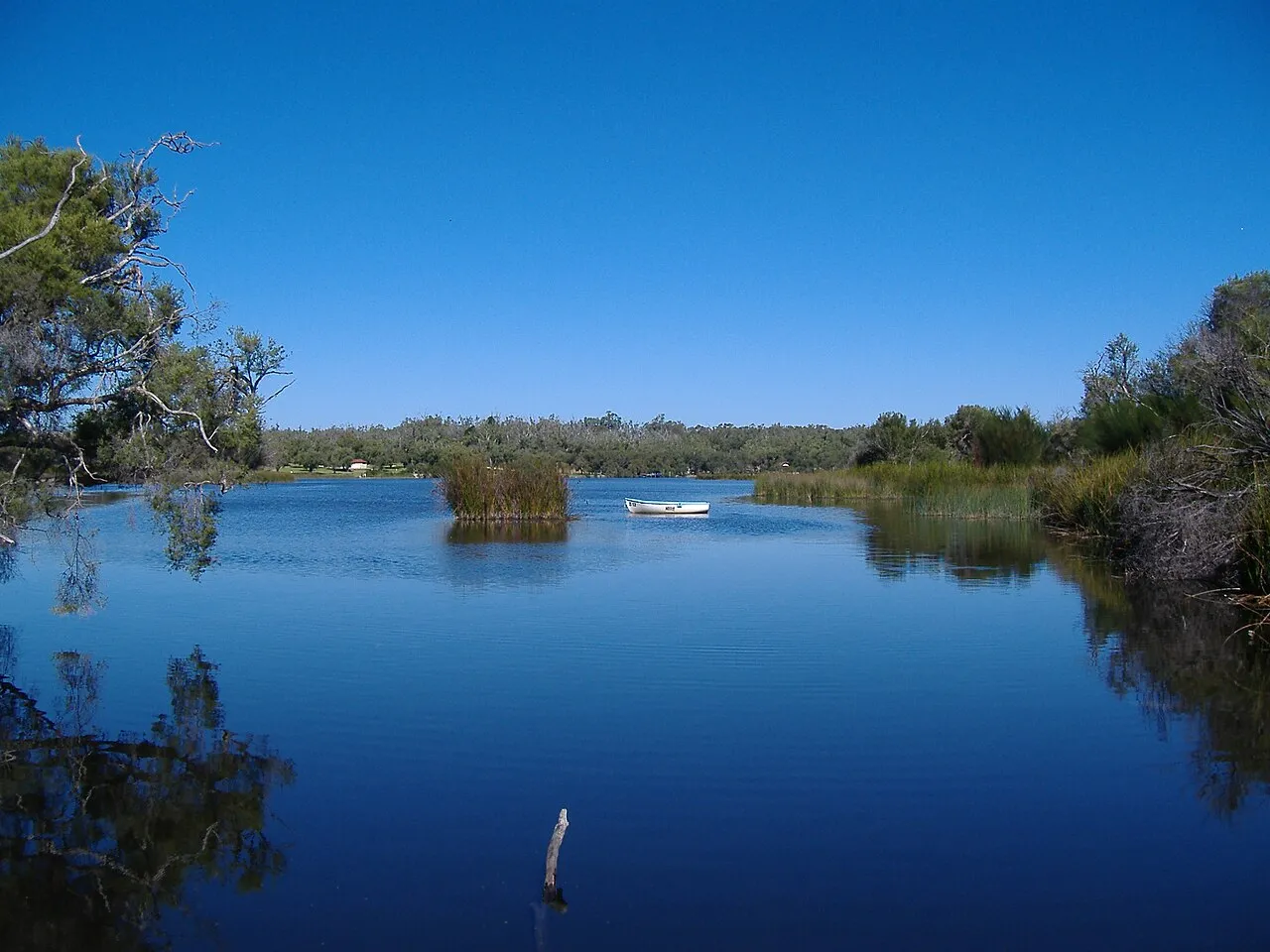
© Aussie Oc · CC BY-SA 3.0
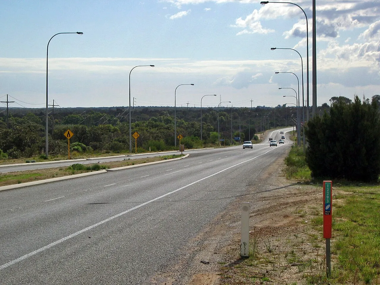
© Geoff Derrin · CC BY-SA 4.0
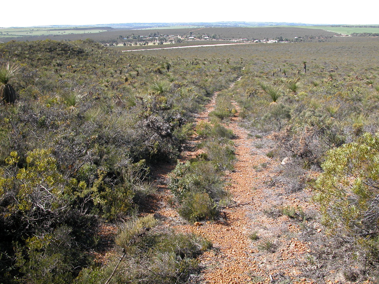
© Jean and Fred from Perth, Australia · CC BY 2.0
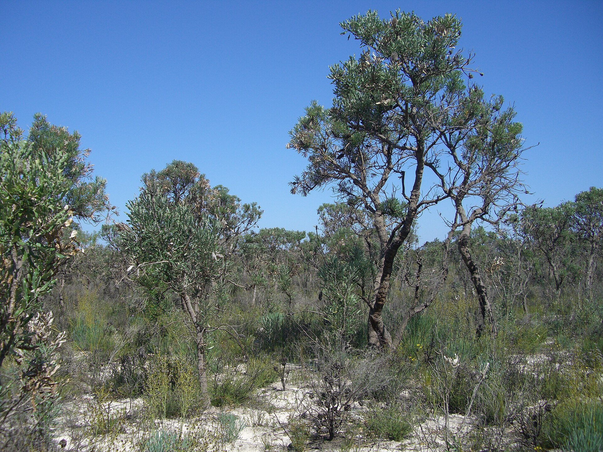
© Jean and Fred Hort from Perth, Australia · CC BY 2.0
© Jean and Fred from Perth, Australia · CC BY 2.0
© Geoff Derrin · CC BY-SA 4.0
Sources and licences
- Wikidata: Q1266400
- OpenStreetMap: relation 12936852
- Official website: http://www.dec.wa.gov.au/component/option,com_hotproperty/task,view/id,150/Itemid,1584
- Wikipedia: en.wikipedia.org/wiki/Moore_River_National_Park
- WDPA: 64119
References
- cds.climate.copernicus.eu: climate · CC-BY-4.0
- registry.opendata.aws: elevation of the reference point, detailed relief · PD
- lpdaac.usgs.gov: land cover · PD
- doi.org: population around the site · CC-BY-4.0
- naturalearthdata.com: sea share · PD
- wikidata.org: official area, highest point, establishment date, protected heritage, managing body, official name, nearby cities and airport, lake depths, official website · CC0-1.0
- en.eurovelo.com: EuroVelo cycle routes · ODbL-1.0
- cycling.waymarkedtrails.org: cycle routes · ODbL-1.0
- opentopodata.org: elevations · PD
- globalforestwatch.org: tree cover loss · CC-BY-4.0
- gbif.org: seasonality of sightings, invasive alien species, observed species · CC-BY-4.0
- earthobservatory.nasa.gov: night light · PD
- openstreetmap.org: access and peaks · ODbL-1.0
- nsidc.org: snow cover · PD
- wikidata.org: Wikipedia article · CC-BY-SA-4.0
Data © OpenStreetMap contributors (ODbL), Wikidata (CC0) and the sources cited.