New Zealand · Terrestrial
Mount Aspiring National Park
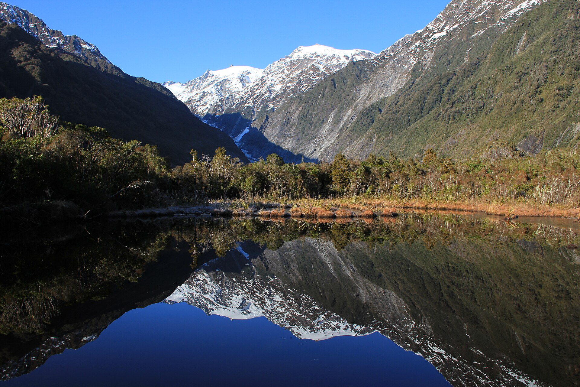
National park of 355,000 hectares in New Zealand, established in 1964.
Overview
National park of 355,000 hectares in New Zealand, established in 1964.
Mount Aspiring National Park is located in New Zealand (Oceania). It is a predominantly terrestrial area. Established in 1964, it covers about 355,000 hectares.
Protections and designations
UNESCO World Heritage
Protected as a national park. International labels and designations: UNESCO World Heritage (“Te Wahipounamu”). Key dates: established in 1964 and World Heritage listing in 1990.
In our collections
Timeline
-
1964
Established
-
1990
Inscribed as a UNESCO World Heritage Site Te Wahipounamu
Sources: Wikidata (CC0) for establishment and international labels; EEA Natura 2000 database (CC-BY 4.0) for site designation dates.
Frequently asked questions
Where is Mount Aspiring National Park?
In New Zealand (Oceania). Representative point: 44.3828° S, 168.7328° E.
How large is Mount Aspiring National Park?
About 355,000 hectares (3,550 km²). It is the 3rd largest of the 13 national parks in New Zealand covered by Parkavela.
When was Mount Aspiring National Park established?
In 1964.
What habitats and landscapes does Mount Aspiring National Park include?
A terrestrial area, with forests and mountains.
What is the highest point of Mount Aspiring National Park?
Mount Aspiring / Tititea, at 3,033 m (OpenStreetMap).
What are the main summits of Mount Aspiring National Park?
Mount Aspiring / Tititea (3,033 m), Mount Earnslaw / Pikirakatahi (2,830 m), East Peak (2,830 m), West Peak (2,820 m) and Popes Nose (2,700 m) (OpenStreetMap).
Which international labels apply to Mount Aspiring National Park?
UNESCO World Heritage (“Te Wahipounamu”).
When is the best time to visit Mount Aspiring National Park?
Mildest period: from December to March, with average temperatures of -2 to 1 °C.
Is there snow in Mount Aspiring National Park?
Yes. According to NASA's MODIS satellites (2015–2025 average), snow covers most of the site from June to September, and until October on higher ground, with about 115 snow-covered days a year on average. Permanent snow remains on the summits even in midsummer.
What is there to see in Mount Aspiring National Park?
31 waterfalls, 21 lakes and ponds and 87 glaciers, including Thunder Creek Falls (160 m), Lake Sylvan (370 m), Rob Roy Glacier and Gates of Haast (Wikidata).
What is the nearest airport to Mount Aspiring National Park?
Nearest airport: Queenstown (ZQN), about 42 km away.
Where can I get visitor information on site?
Makarora Visitor Center.
Are there waymarked hiking trails in Mount Aspiring National Park?
Yes. Waymarked hiking routes listed in OpenStreetMap: 10, including Gillespie Pass Circuit, Rees-Dart Track and Rob Roy Glacier Lookout. The “Gillespie Pass Circuit” route runs for about 42 km through the site, with some 1,480 m of ascent on its longest section.
Which species can be seen in Mount Aspiring National Park?
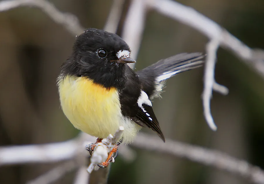
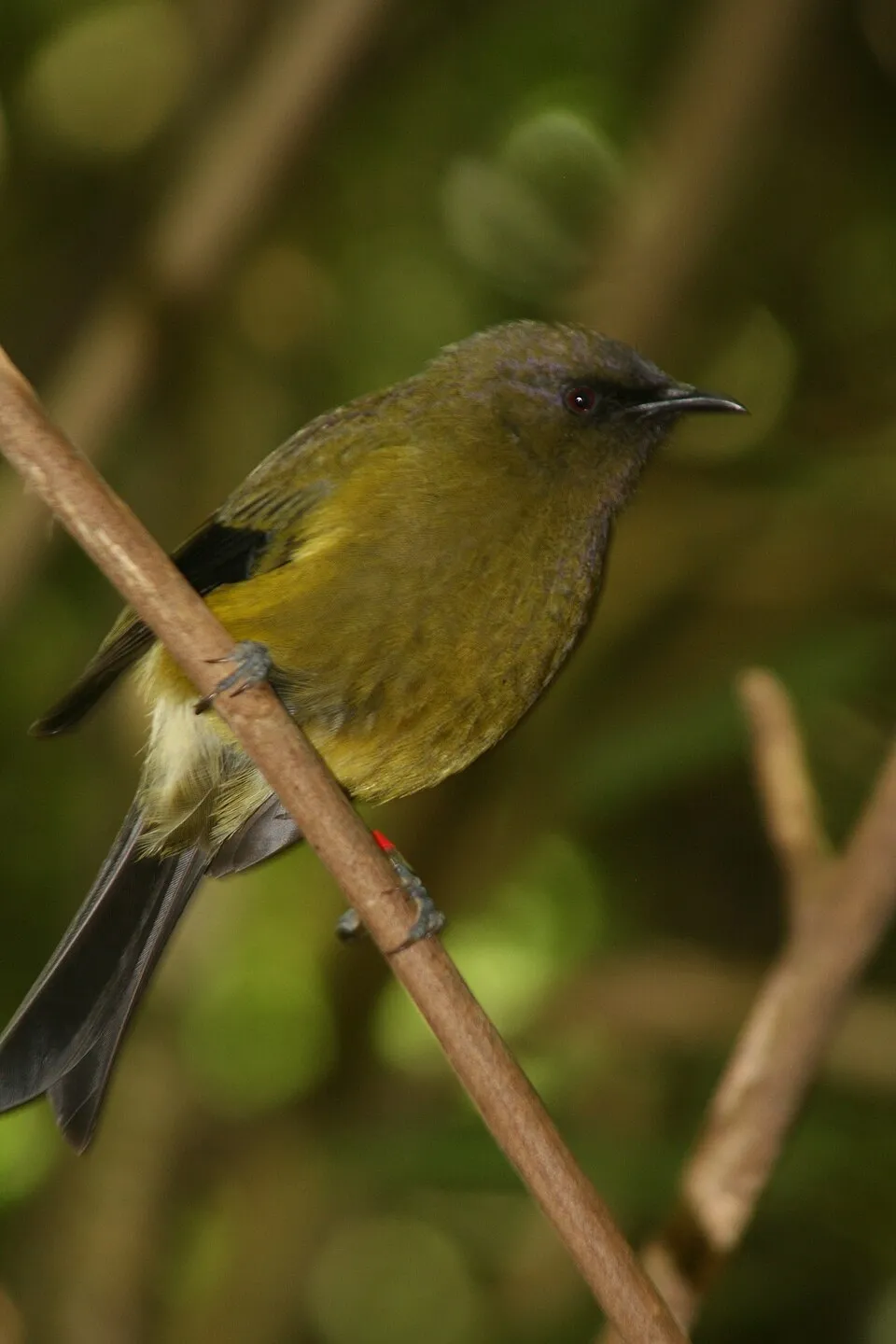
Among the species most often recorded on GBIF are Petroica macrocephala (Tomtit), Acanthisitta chloris (Rifleman), Gerygone igata (Grey Gerygone) and Anthornis melanura (New Zealand Bellbird).
© OpenStreetMap
Download the boundary: GeoJSON · GPX Boundary © OpenStreetMap contributors (ODbL).
Geography
The representative point of the site lies at around 2,747 m above sea level. Over the 1996–2025 period, the mean annual temperature is about -5.9 °C and total precipitation reaches roughly 3,519 mm per year. The warmest month is usually January, the coolest July, and the wettest September.
Area
- Area
- 355,000 ha
- Elevation
- 2,747 m
- Median elevation
- 1,115 m
- Mean slope
- 29°
- Snow cover
- ≈ 115 days a year
- Coordinates
- -44.3828, 168.7328
Terrain: Mapzen Terrain Tiles (SRTM, USGS)
Elevation bands
- below 500 m 12%
- 500–1,000 m 30%
- 1,000–1,500 m 36%
- 1,500–2,000 m 19%
- 2,000–2,500 m 4%
share of the site in each elevation band (smoothed terrain model: summits are rounded off) · Terrain: Mapzen Terrain Tiles (SRTM, USGS)
Main summits
- Mount Aspiring / Tititea3,033 m
- Mount Earnslaw / Pikirakatahi2,830 m
- East Peak2,830 m
- West Peak2,820 m
- Popes Nose2,700 m
- Rob Roy Peak2,644 m
- Mount Edward2,620 m
- Sir William Peak2,610 m
- Low Peak2,609 m
- Mount Avalanche2,606 m
Data © OpenStreetMap contributors (ODbL)
Climate
● Mean temperature (°C) · ▮ Precipitation (mm)
Source: Copernicus ERA5-Land (C3S, doi:10.24381/cds.68d2bb30), monthly averages 1996–2025 interpolated to the representative point, temperatures adjusted for elevation.
Contains modified Copernicus Climate Change Service information 2026. Neither the European Commission nor ECMWF is responsible for any use that may be made of the Copernicus information or data it contains.
Snow cover measured by satellite
J
F
M
A
M
J
J
A
S
O
N
D
average share of the site under snow · snowiest parts · ≈ 115 days a year
Snow cover: MODIS/Terra MOD10CM v61 (Hall & Riggs, 2021, NASA NSIDC DAAC, doi:10.5067/MODIS/MOD10CM.061), imagery from NASA GIBS (ESDIS); 2015–2025 average, grid of about 5 km.
Natural habitats
According to the global MODIS land cover (NASA, 2024), the site is mainly made up of forests (46%), grassland and meadows (42%) and bare rock and scree (6%). Woodland mixes broadleaved and coniferous trees. Elevation ranges from about 150 m to 3,033 m (highest point: Mount Aspiring / Tititea). Median elevation is 1,115 m, and 23% of the site lies above 1,500 m (SRTM elevation model). The terrain is steep: 48% of slopes exceed 30° (mean slope 29°).
Biodiversity
Based on occurrences aggregated by GBIF, several species are regularly recorded within the site. Among the most frequent are Petroica macrocephala (Tomtit), Acanthisitta chloris (Rifleman), Gerygone igata (Grey Gerygone) and Anthornis melanura (New Zealand Bellbird). The full list of documented taxa is shown below.
Species to look out for

Bird
Rifleman
Acanthisitta chloris1,621 records © Brian Ralphs from Berkhamsted, Hertfordshire, UK · CC BY 2.0


Bird
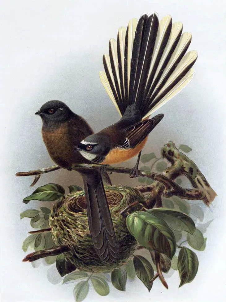
New Zealand Fantail
Rhipidura fuliginosa1,398 records © John Gerrard Keulemans · Public domain
Observed species
Occurrences documented via GBIF; they are neither an exhaustive inventory nor proof of current presence.
- Tomtit · Petroica macrocephala · 1827
- Rifleman · Acanthisitta chloris · 1621
- Grey Gerygone · Gerygone igata · 1524
- New Zealand Bellbird · Anthornis melanura · 1483
- Eurasian Chaffinch · Fringilla coelebs · 1467
- New Zealand Fantail · Rhipidura fuliginosa · 1398
- Brown Hare · Lepus europaeus · 1272
- Kea · Nestor notabilis · 1111
- Common Brush-tailed Possum · Trichosurus vulpecula · 1048
- South Island robin · Petroica australis · 967
- Pipipi · Finschia novaeseelandiae · 830
- New Zealand rock wren · Xenicus gilviventris · 816
+18 more species
- Common Blackbird · Turdus merula · 792
- Linnemannia sclerotiella · 735
- Silvereye · Zosterops lateralis · 726
- Yellowhead · Mohoua ochrocephala · 693
- Tūī · Prosthemadera novaeseelandiae · 683
- Redpoll · Acanthis flammea · 618
- Yellow-crowned Parakeet · Cyanoramphus auriceps · 615
- Song Thrush · Turdus philomelos · 561
- Kākā · Nestor meridionalis · 549
- New Zealand Falcon · Falco novaeseelandiae · 456
- Penicillium lividum · 392
- Paradise Shelduck · Tadorna variegata · 368
- Kererū · Hemiphaga novaeseelandiae · 330
- Yellowhammer · Emberiza citrinella · 326
- Welcome Swallow · Hirundo neoxena · 272
- Dunnock · Prunella modularis · 248
- Long-tailed Cuckoo · Urodynamis taitensis · 226
- Kelp Gull · Larus dominicanus · 201
Records: GBIF.org (CC-BY). Names: Wikidata (CC0), GBIF. Photos: Wikimedia Commons.
Conservation challenges
The primary purpose of the site is to preserve its natural habitats and the biodiversity they support. The species recorded (Biodiversity tab) reflect its ecological value. The designations it holds frame its management and the control of land use.
According to Global Forest Change data (University of Maryland, Global Forest Watch), about 266 ha of tree cover were lost within the boundary between 2001 and 2023, peaking in 2005. These losses include logging, storms and fires, and do not account for regrowth. At night, the area gives off virtually no artificial light detectable from space (NASA VIIRS Black Marble composite, 2016). Since 2000, 8 invasive alien species have been recorded within the site (GBIF observations). Among them: Gymnorhina tibicen (Australian Magpie), Jacobaea vulgaris (Common Ragwort) and Digitalis purpurea (Foxglove).
Pressure indicators
Tree cover lost
266 ha
2001–2023 · < 1% of the area
20012023
Light at night
0%
of the area gives off artificial light visible from space
DarkLit
Invasive alien species
8
recorded since 2000
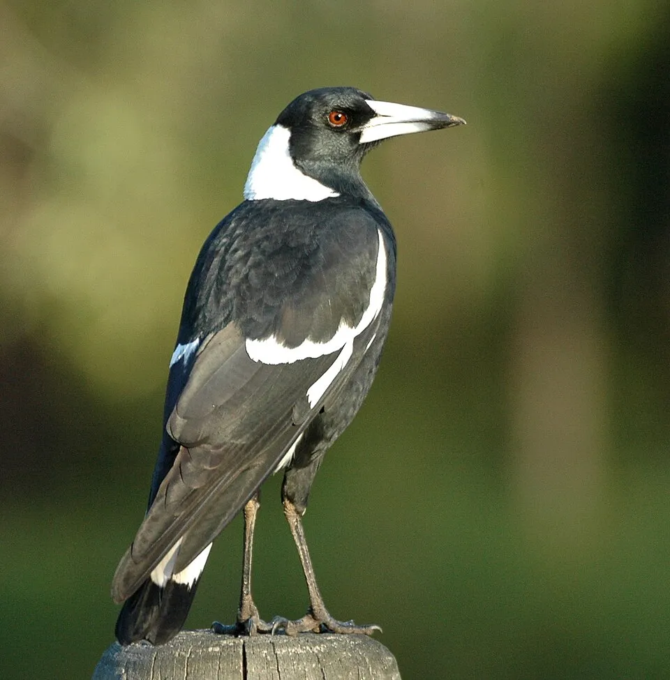 Australian Magpie
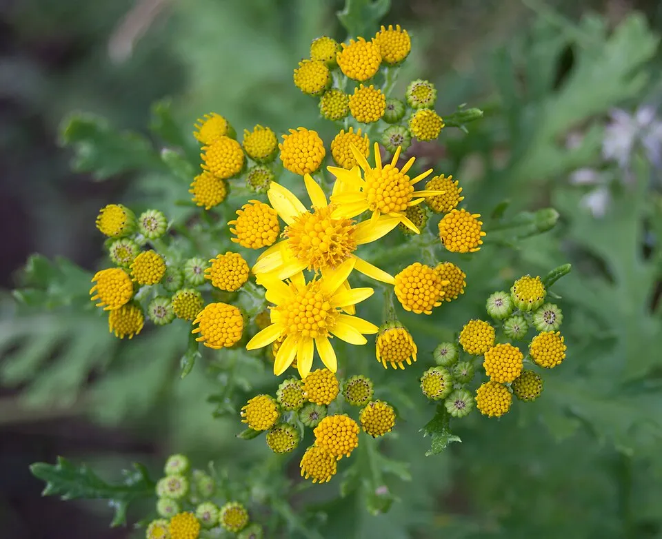 Common Ragwort
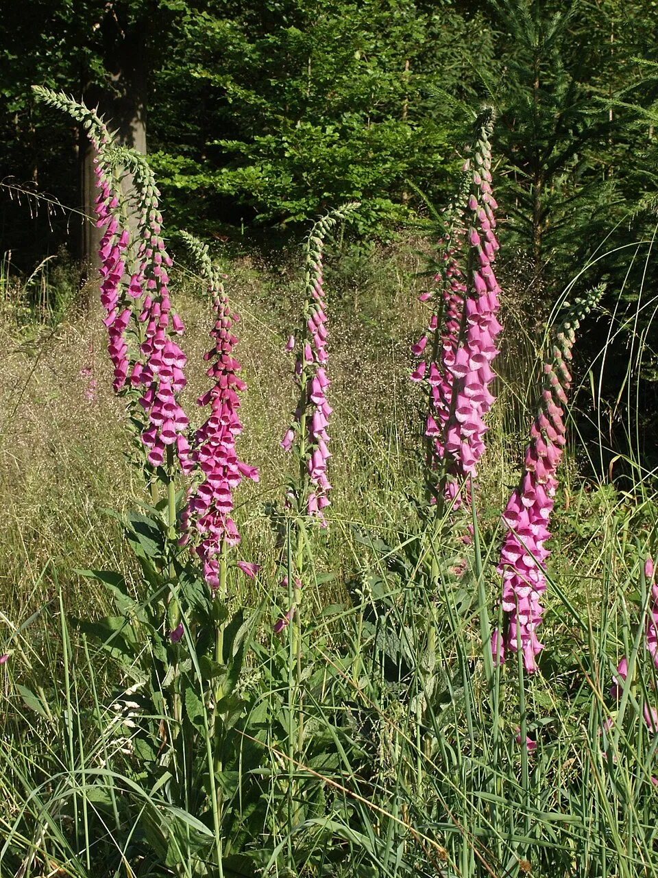 Foxglove
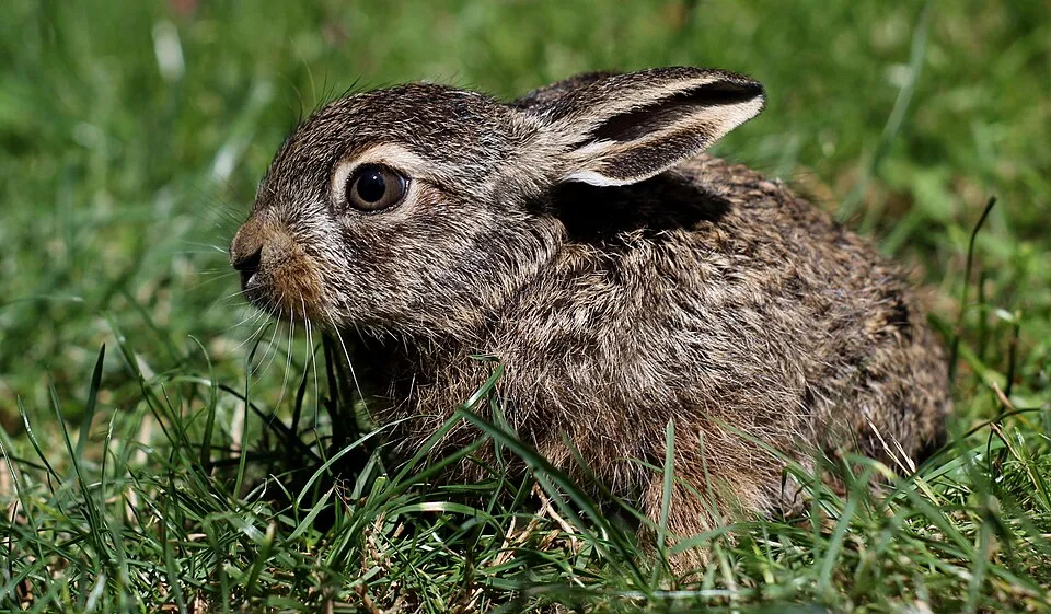 Brown Hare
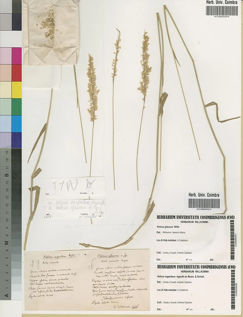 Yorkshire-fog
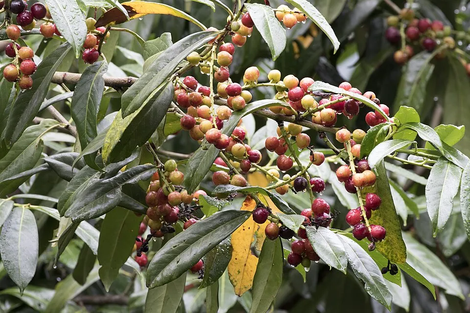 Cherry laurel
 Scottish Heather
Broom
Photos: Australian Magpie © Aviceda · CC BY-SA 3.0; Common Ragwort © Julie Anne Workman · CC BY-SA 3.0; Foxglove © Bernd Haynold · CC BY-SA 3.0; Brown Hare © Iwona Kałuzińska · CC BY-SA 4.0; Yorkshire-fog © Herbarium of the University of Coimbra (COI) · CC BY 4.0; Cherry laurel © Zeynel Cebeci · CC BY-SA 4.0; Scottish Heather © Kenraiz · Public domain
Sources: Global Forest Change (Hansen et al., University of Maryland, via Global Forest Watch, CC-BY 4.0); EFFIS, European Commission / Copernicus; NASA Black Marble 2016 (public domain); CORINE Land Cover 2018 (Copernicus) or MODIS.
Invasive alien species: Global Register of Introduced and Invasive Species (ISSG, CC BY 4.0); Union list, Regulation (EU) 1143/2014 (INBO, CC0); GBIF.org records (CC0 / CC BY 4.0), at least 2 per species.
Practical information
Cities and airport
- Airport: Queenstown (ZQN)
42 km as the crow flies
Visitor information
- Makarora Visitor Center
within the site
Parking
18 public car parks listed within the site
Davis Flat Car ParkThunder Creek Waterfall Car ParkRouteburn Road End Car ParkWeka Flat Picnic Area
Things to see
31 waterfalls · 21 lakes and ponds · 87 glaciers
- Thunder Creek Falls
waterfall · 160 m - Lake Sylvan
lake or pond · 370 m - Rob Roy Glacier
glacier - Gates of Haast
waterfall - Lake Harris
lake or pond · 1,225 m
Hiking
10 waymarked routes listed, including:
Gillespie Pass CircuitRees-Dart TrackRob Roy Glacier Lookout
By bike
Tour Aotearoa · 45 km
Signed cycle routes: this does not mean that cycling is allowed on footpaths.
Data © OpenStreetMap contributors (ODbL) · Wikidata (CC0)
Routes © OpenStreetMap contributors (ODbL), via Waymarked Trails
Waymarked hiking routes
Gillespie Pass Circuit
41.5 km within the site ↗ 1,475 m↘ 1,471 m 317–1,608 m
up to T4 · alpine hiking
GW06 GW - 06 Routeburn Track
12.7 km within the site ↗ 855 m↘ 70 m 476–1,292 m
Rees-Dart Track
37.5 km within the site ↗ 1,213 m↘ 325 m 449–1,379 m
up to T2 · mountain hiking
Tracks © OpenStreetMap contributors (ODbL), clipped to the boundary; elevation gain and profiles computed on the longest section from Mapzen Terrain Tiles (≈ 30 m), indicative only. Indicative difficulty (SAC scale, OpenStreetMap, via Waymarked Trails): check with the park.
Access and visiting
Nearest airport: Queenstown (ZQN), about 42 km away. Visitor information on site: Makarora Visitor Center. Public car parks listed within the site: 18, including Davis Flat Car Park, Thunder Creek Waterfall Car Park and Routeburn Road End Car Park. Waymarked hiking routes listed in OpenStreetMap: 10, including Gillespie Pass Circuit, Rees-Dart Track and Rob Roy Glacier Lookout. A signed cycle route crosses the site: “Tour Aotearoa” (OpenStreetMap). To see: 31 waterfalls, 21 lakes and ponds and 87 glaciers, including Thunder Creek Falls (160 m), Lake Sylvan (370 m), Rob Roy Glacier and Gates of Haast. To plan a visit (access, opening periods, visitor rules), it is best to consult the official information from the managing body and the official website listed in this page's sources.
Source: OpenStreetMap (ODbL), Wikidata (CC0), November 2026.
When to visit
Mildest period: from December to March, with average temperatures of -2 to 1 °C. Average temperatures drop below 0 °C from March to December: frost is common. These averages apply to the site's representative point (2,747 m); higher up it is markedly cooler and snow lasts longer. According to NASA's MODIS satellites (2015–2025 average), snow covers most of the site from June to September, and until October on higher ground, with about 115 snow-covered days a year on average. Permanent snow remains on the summits even in midsummer. Day length ranges from about 8 h 52 min in June to 15 h 31 min in December. Wildlife records published on GBIF peak for birds (January), plants (from November to January), butterflies and moths (January and February) and mammals (January). These peaks also reflect when observers are most active.
Source: Copernicus ERA5-Land (C3S), monthly averages 1996–2025 at the representative point, temperatures adjusted for elevation.
Contains modified Copernicus Climate Change Service information 2026. Neither the European Commission nor ECMWF is responsible for any use that may be made of the Copernicus information or data it contains.
Wildlife records calendar
JFMAMJJASOND
Birds
Plants
Butterflies & moths
Mammals
Monthly records published on GBIF (CC-BY), relative to the busiest month; also reflects observer activity.
Gallery
© Psychoticfish · Public domain
© Tomas Sobek · CC BY 2.0
© A S · CC BY 2.0
© Eli Duke · CC BY-SA 3.0
© Wildman NZ · CC BY-SA 4.0
© Tomas Sobek · CC BY 2.0
Sources and licences
- Wikidata: Q1070905
- OpenStreetMap: relation 6982573
- Wikipedia: en.wikipedia.org/wiki/Mount_Aspiring_National_Park
- WDPA: 809
References
- cds.climate.copernicus.eu: climate · CC-BY-4.0
- registry.opendata.aws: elevation of the reference point, detailed relief · PD
- lpdaac.usgs.gov: land cover · PD
- naturalearthdata.com: sea share · PD
- wikidata.org: official area, establishment date, protected heritage, nearby cities and airport, access and peaks, lake depths, places to see · CC0-1.0
- en.eurovelo.com: EuroVelo cycle routes · ODbL-1.0
- cycling.waymarkedtrails.org: cycle routes · ODbL-1.0
- opentopodata.org: elevations · PD
- globalforestwatch.org: tree cover loss · CC-BY-4.0
- gbif.org: seasonality of sightings, invasive alien species, observed species · CC-BY-4.0
- openstreetmap.org: official name, access and peaks · ODbL-1.0
- earthobservatory.nasa.gov: night light · PD
- hiking.waymarkedtrails.org: route difficulty · ODbL-1.0
- nsidc.org: snow cover · PD
- wikidata.org: Wikipedia article · CC-BY-SA-4.0
Data © OpenStreetMap contributors (ODbL), Wikidata (CC0) and the sources cited.