Brazil · Terrestrial
Nascentes do Lago Jari National Park
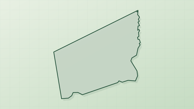
National park of 812,742 hectares in Brazil, established in 2008.
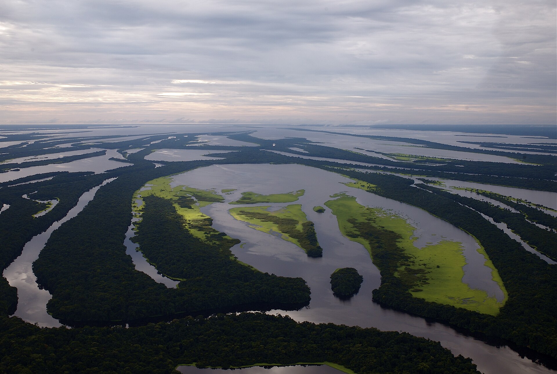
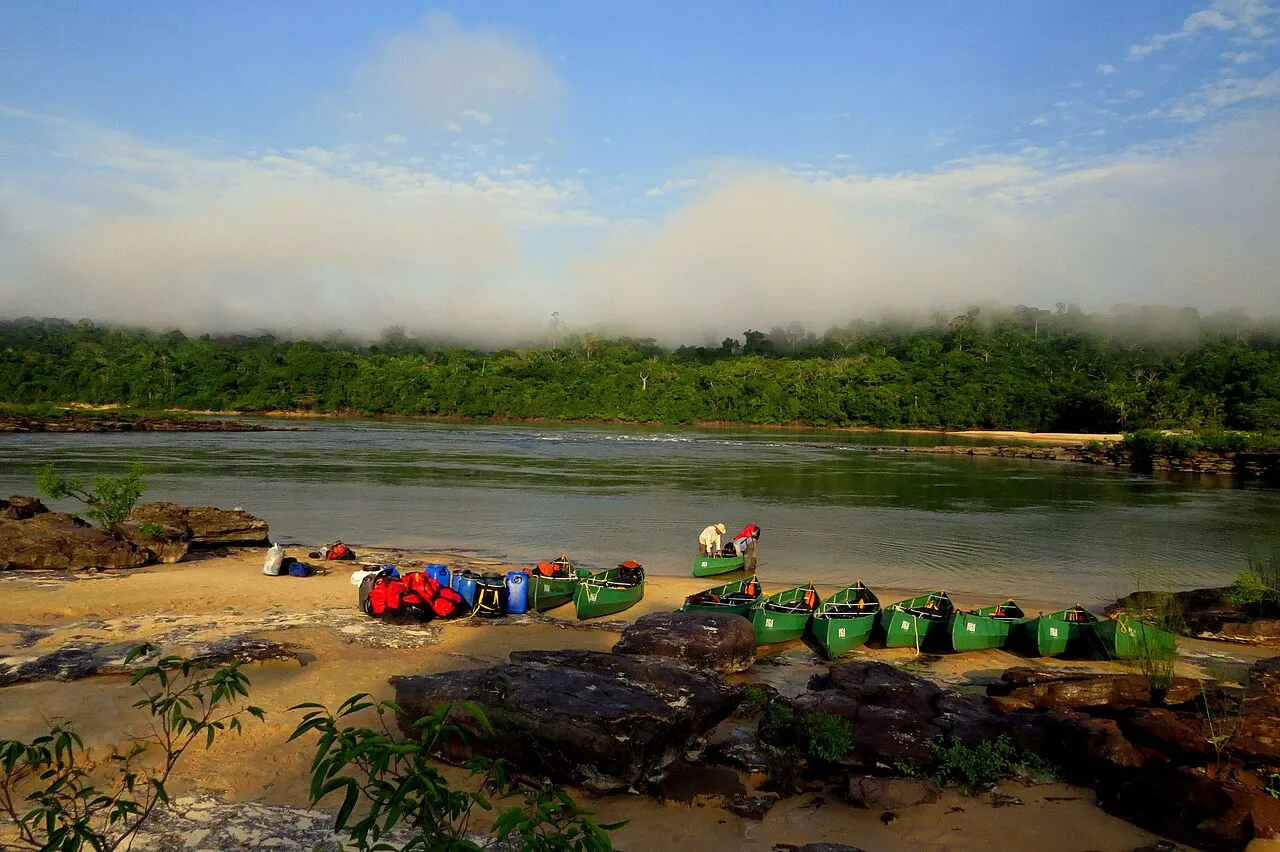
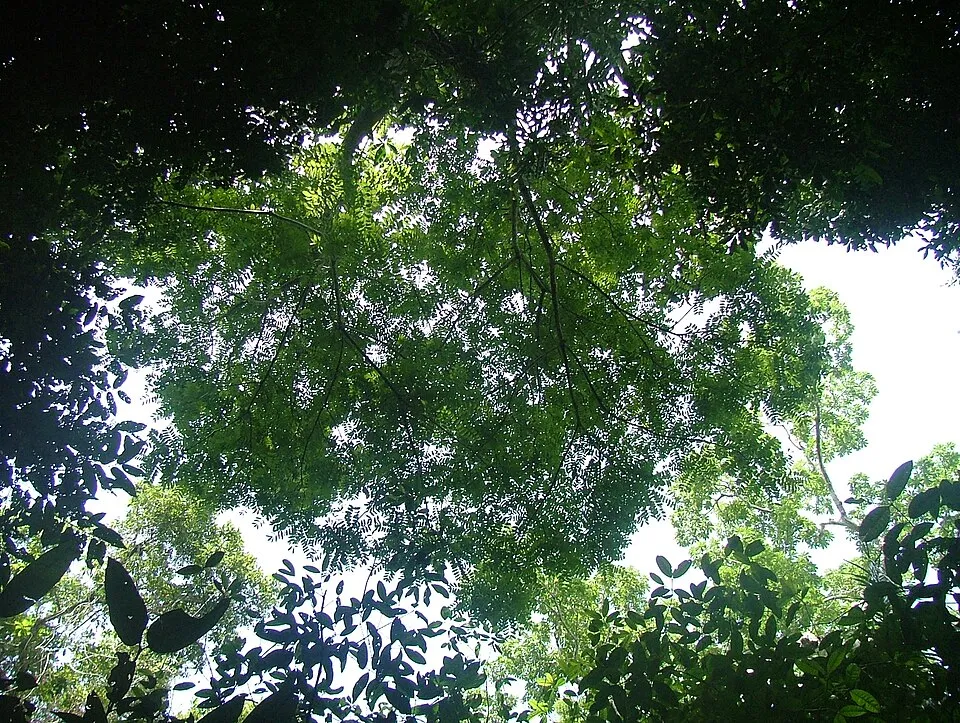
AI-generated illustration (Magnific) · typical landscape, not a photo of this place
Overview
National park of 812,742 hectares in Brazil, established in 2008.
Nascentes do Lago Jari National Park is located in Brazil (South America). It is a predominantly terrestrial area. Established in 2008, it covers about 812,742 hectares.
In our collections
Frequently asked questions
Where is Nascentes do Lago Jari National Park?
In Brazil (South America). Representative point: 5.7699° S, 62.5942° W.
How large is Nascentes do Lago Jari National Park?
About 812,742 hectares (8,127 km²). It is the 12th largest of the 74 national parks in Brazil covered by Parkavela.
When was Nascentes do Lago Jari National Park established?
In 2008.
What habitats and landscapes does Nascentes do Lago Jari National Park include?
A terrestrial area, with forests.
When is the best time to visit Nascentes do Lago Jari National Park?
Best time to visit: the dry season, from June to September, with less than 120 mm of rain per month.
Which species can be seen in Nascentes do Lago Jari National Park?
Among the species most often recorded on GBIF are Simarouba amara (Bitterwood), Rhinella marina (Cane toad), Osteocephalus leprieurii (Cayenne slender-legged tree frog) and Osteocephalus taurinus (Manaus slender-legged tree frog).
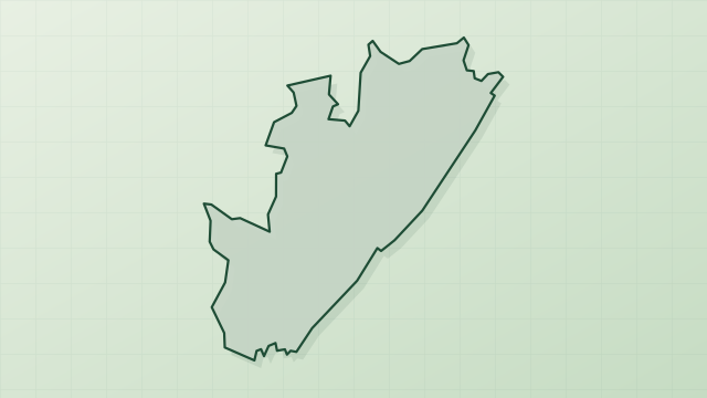
© OpenStreetMap
Download the boundary: GeoJSON · GPX Boundary © OpenStreetMap contributors (ODbL).
Geography
The representative point of the site lies at around 74 m above sea level. Over the 1996–2025 period, the mean annual temperature is about 25.8 °C and total precipitation reaches roughly 2,510 mm per year. The warmest month is usually August, the coolest May, and the wettest March.
Area
- Area
- 812,742 ha
- Elevation
- 74 m
- Coordinates
- -5.7699, -62.5942
Climate
● Mean temperature (°C) · ▮ Precipitation (mm)
Source: Copernicus ERA5-Land (C3S, doi:10.24381/cds.68d2bb30), monthly averages 1996–2025 interpolated to the representative point, temperatures adjusted for elevation.
Contains modified Copernicus Climate Change Service information 2026. Neither the European Commission nor ECMWF is responsible for any use that may be made of the Copernicus information or data it contains.
Natural habitats
According to the global MODIS land cover (NASA, 2024), the site is mainly made up of forests (100%). It is mostly dense evergreen broadleaved forest. The land is almost flat (mean slope under 2°).
Biodiversity
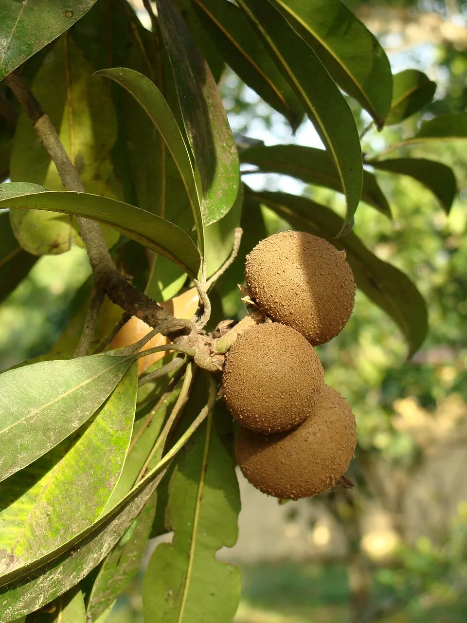
Based on occurrences aggregated by GBIF, several species are regularly recorded within the site. Among the most frequent are Simarouba amara (Bitterwood), Rhinella marina (Cane toad), Osteocephalus leprieurii (Cayenne slender-legged tree frog) and Osteocephalus taurinus (Manaus slender-legged tree frog). The full list of documented taxa is shown below.
Species to look out for
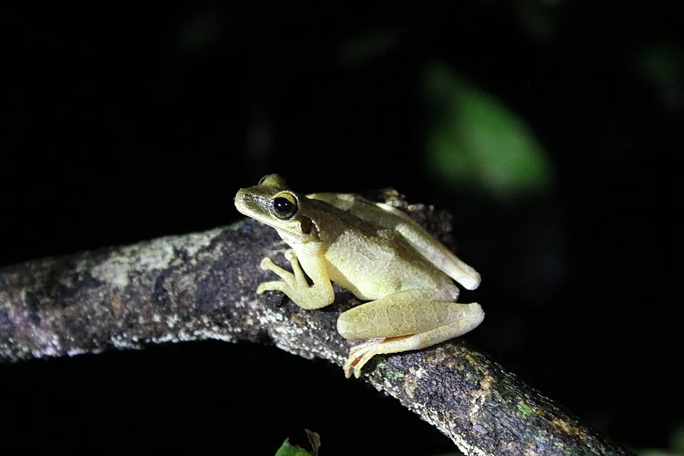
Amphibian
Cayenne slender-legged tree frog
Osteocephalus leprieurii15 records © Michael A. Alcorn · CC BY 4.0
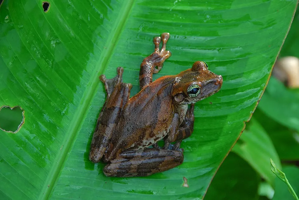
Amphibian
Manaus slender-legged tree frog
Osteocephalus taurinus11 records © Whaldener Endo · CC0-1.0

Observed species
Occurrences documented via GBIF; they are neither an exhaustive inventory nor proof of current presence.
- Bitterwood · Simarouba amara · 26
- Cane toad · Rhinella marina · 20
- Cayenne slender-legged tree frog · Osteocephalus leprieurii · 15
- Manaus slender-legged tree frog · Osteocephalus taurinus · 11
- Couratari stellata · 8
- Manilkara huberi · 7
- Theobroma speciosum · 6
- Ichnanthus panicoides · 5
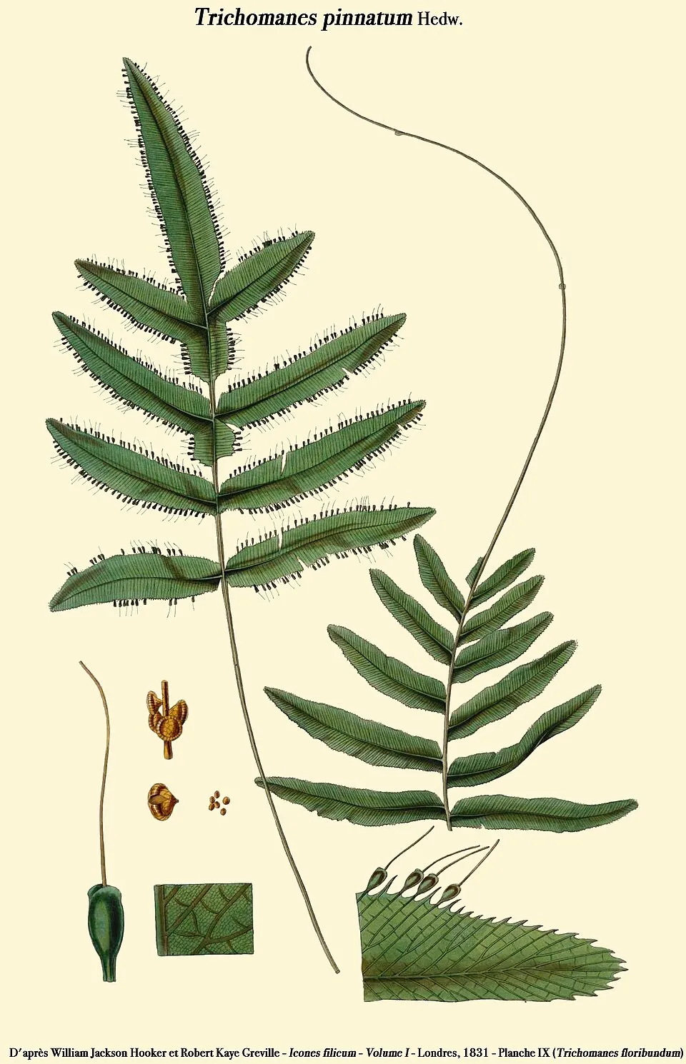
- Tansy bristle fern · Trichomanes pinnatum · 5
- Goldenscale Anole · Anolis chrysolepis · 5
- Map Treefrog · Boana geographica · 4
- Troschel's Treefrog · Boana calcarata · 4
+18 more species
- Reichle's Robber Frog · Pristimantis reichlei · 4
- Brilliant-thighed poison frog · Allobates femoralis · 4
- Hypolytrum longifolium · 4
- Vatairea guianensis · 4
- Couratari tenuicarpa · 4
- Eschweilera carinata · 4
- Eschweilera coriacea · 4
- Duguetia uniflora · 4
- Ampelozizyphus amazonicus · 4
- Clusia flavida · 4
- Guarea pubescens · 4
- Selaginella parkeri · 4
- Chicken Snake · Spilotes pullatus · 4
- Palicourea iodotricha · 3
- Carabaya Robber Frog · Pristimantis ockendeni · 3
- Fringe-lipped Bat · Trachops cirrhosus · 3
- Banded Tree Anole · Anolis transversalis · 3
- Roughskin Anole · Anolis trachyderma · 3
Records: GBIF.org (CC-BY). Names: Wikidata (CC0), GBIF. Photos: Wikimedia Commons.
Conservation challenges
The primary purpose of the site is to preserve its natural habitats and the biodiversity they support. The species recorded (Biodiversity tab) reflect its ecological value. Its status as a national park sets the regulatory framework for its protection.
According to Global Forest Change data (University of Maryland, Global Forest Watch), about 414 ha of tree cover were lost within the boundary between 2001 and 2023, peaking in 2016 and 2017. These losses include logging, storms and fires, and do not account for regrowth. At night, the area gives off virtually no artificial light detectable from space (NASA VIIRS Black Marble composite, 2016).
Pressure indicators
Tree cover lost
414 ha
2001–2023 · < 1% of the area
20012023
Light at night
0%
of the area gives off artificial light visible from space
DarkLit
Built-up land
< 1%
buildings, business areas, roads, quarries
Sources: Global Forest Change (Hansen et al., University of Maryland, via Global Forest Watch, CC-BY 4.0); EFFIS, European Commission / Copernicus; NASA Black Marble 2016 (public domain); CORINE Land Cover 2018 (Copernicus) or MODIS.
Access and visiting
About 14,000 people live within 20 km of the site boundary, 190 of them within 10 km; the site itself is virtually uninhabited (GHSL estimate, 2020). To plan a visit (access, opening periods, visitor rules), it is best to consult the official information from the managing body and the official website listed in this page's sources.
When to visit
Best time to visit: the dry season, from June to September, with less than 120 mm of rain per month. Precipitation peaks in March (up to 350 mm per month). Day length ranges from about 11 h 47 min in June to 12 h 27 min in December. Wildlife records published on GBIF peak for birds (August) and plants (October). These peaks also reflect when observers are most active.
Source: Copernicus ERA5-Land (C3S), monthly averages 1996–2025 at the representative point, temperatures adjusted for elevation.
Contains modified Copernicus Climate Change Service information 2026. Neither the European Commission nor ECMWF is responsible for any use that may be made of the Copernicus information or data it contains.
Wildlife records calendar
JFMAMJJASOND
Birds
Plants
Monthly records published on GBIF (CC-BY), relative to the busiest month; also reflects observer activity.
Sources and licences
- Wikidata: Q22074161
- OpenStreetMap: relation 4286879
- Wikipedia: en.wikipedia.org/wiki/Nascentes_do_Lago_Jari_National_Park
- WDPA: 478419
References
- cds.climate.copernicus.eu: climate · CC-BY-4.0
- registry.opendata.aws: elevation of the reference point, detailed relief · PD
- lpdaac.usgs.gov: land cover · PD
- doi.org: population around the site · CC-BY-4.0
- naturalearthdata.com: sea share · PD
- wikidata.org: official area, highest point, establishment date, protected heritage, official name, nearby cities and airport, access and peaks, lake depths, places to see · CC0-1.0
- en.eurovelo.com: EuroVelo cycle routes · ODbL-1.0
- cycling.waymarkedtrails.org: cycle routes · ODbL-1.0
- opentopodata.org: elevations · PD
- globalforestwatch.org: tree cover loss · CC-BY-4.0
- gbif.org: seasonality of sightings, invasive alien species, observed species · CC-BY-4.0
- earthobservatory.nasa.gov: night light · PD
- openstreetmap.org: access and peaks · ODbL-1.0
- nsidc.org: snow cover · PD
- wikidata.org: Wikipedia article · CC-BY-SA-4.0
Data © OpenStreetMap contributors (ODbL), Wikidata (CC0) and the sources cited.