Australia · Marine
Raine Island National Park
National park of 36 hectares in Australia, established in 2007.
Overview
National park of 36 hectares in Australia, established in 2007.
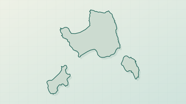
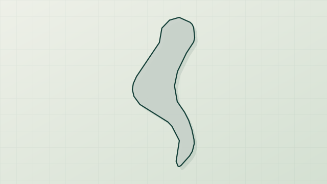
Raine Island National Park is located in Australia (Oceania). It is a predominantly marine area. Established in 2007, it covers about 36 hectares.
Frequently asked questions
Where is Raine Island National Park?
In Australia (Oceania). Representative point: 11.5917° S, 144.0340° E.
How large is Raine Island National Park?
About 36 hectares. It is the 665th largest of the 678 national parks in Australia covered by Parkavela.
When was Raine Island National Park established?
In 2007.
What habitats and landscapes does Raine Island National Park include?
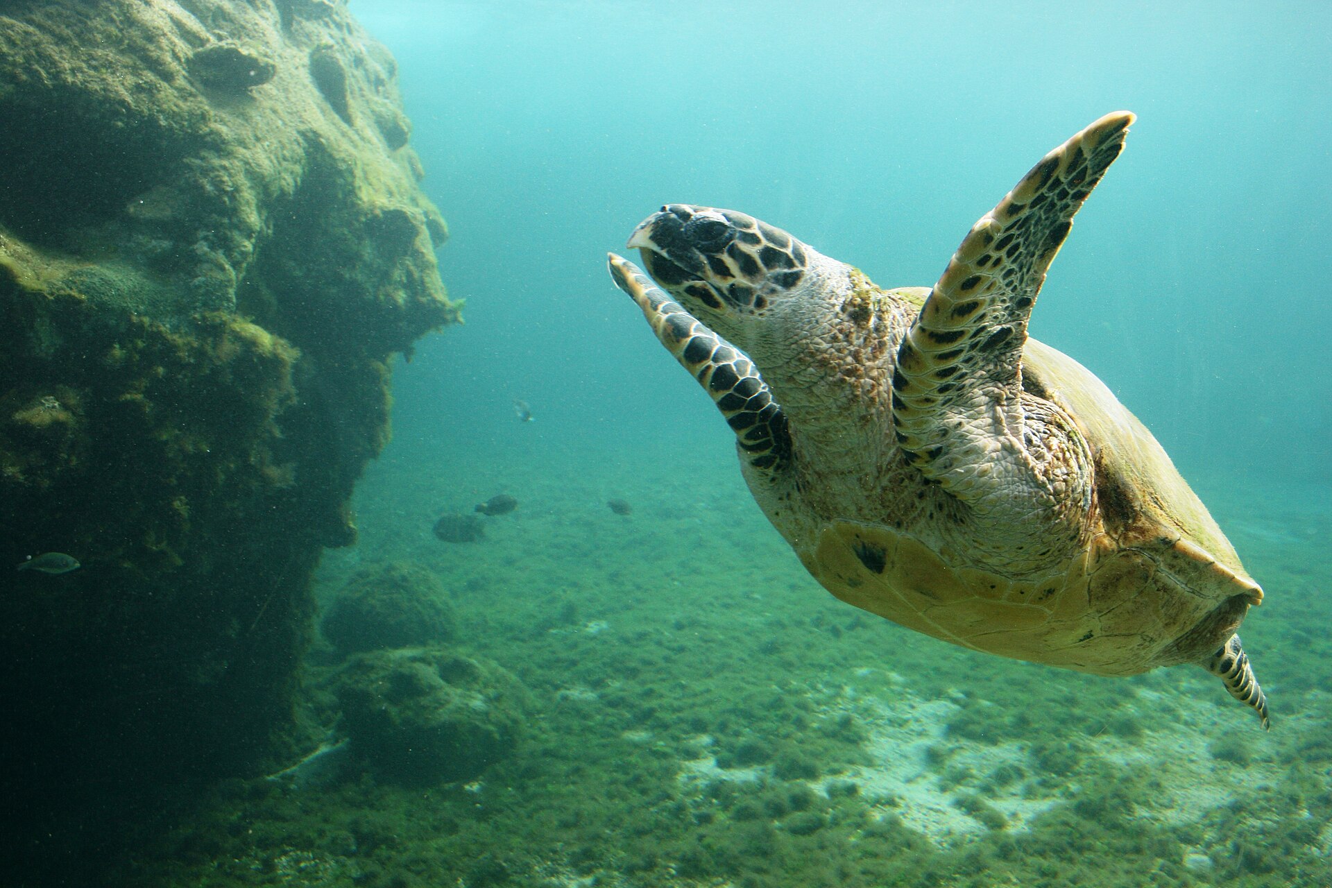
A marine area, with coral reefs.
When is the best time to visit Raine Island National Park?
Best time to visit: the dry season, from June to September, with less than 30 mm of rain per month.
What is the nearest airport to Raine Island National Park?
Nearest airport: Horn Island (HID), about 220 km away.
Which species can be seen in Raine Island National Park?
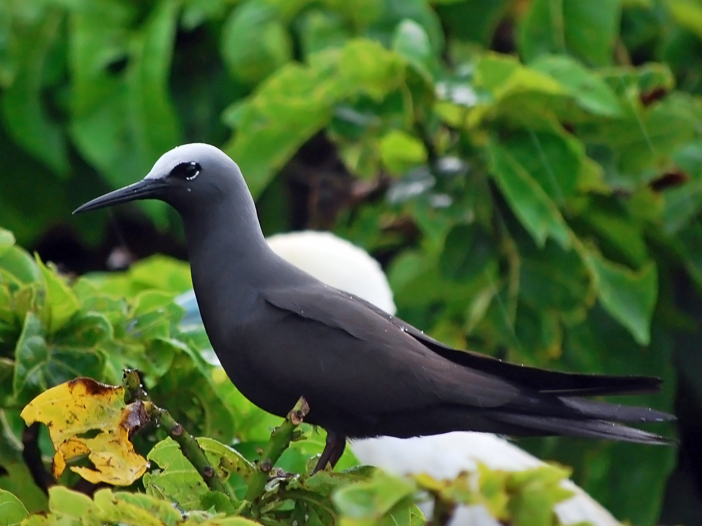
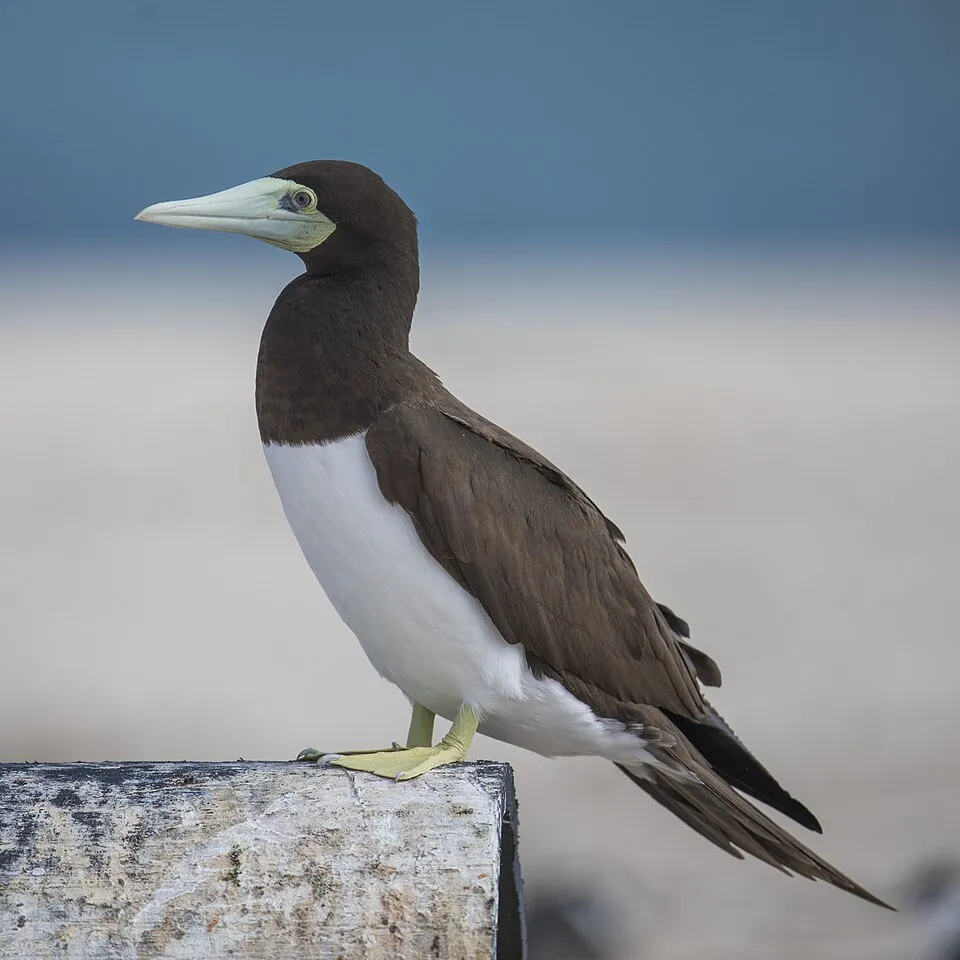
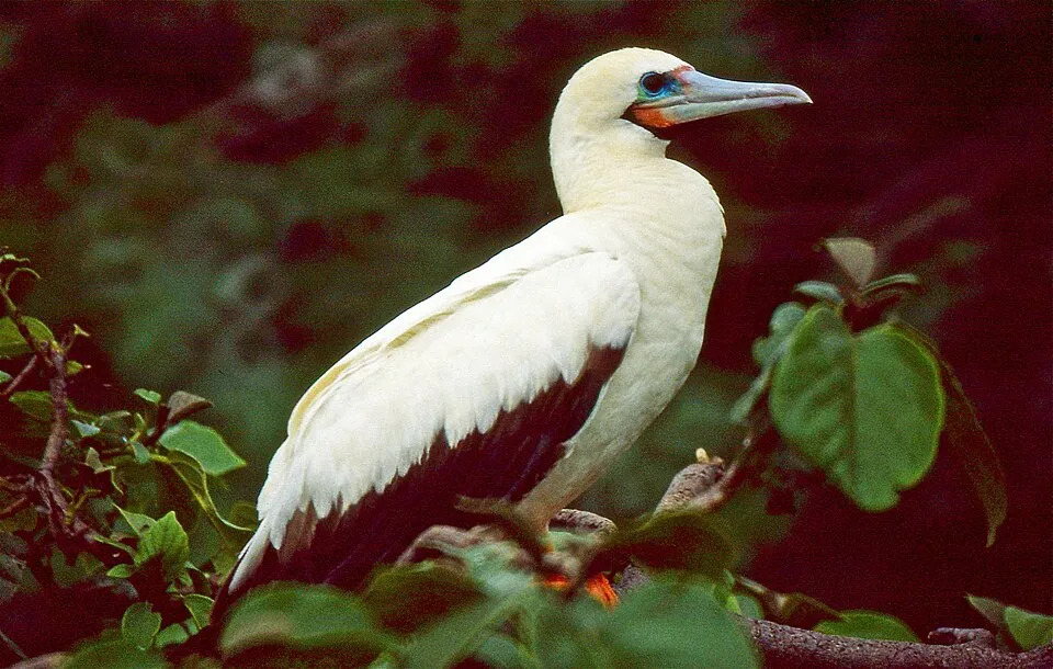
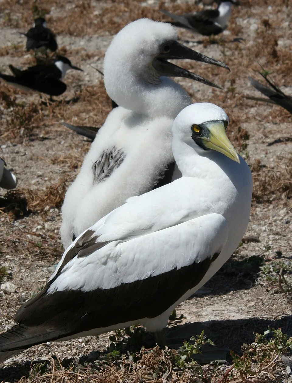
Among the species most often recorded on GBIF are Sula leucogaster (Brown Booby), Sula sula (Red-footed Booby), Sula dactylatra (Masked Booby) and Anous stolidus (Brown Noddy).
What is the official website of Raine Island National Park?
© OpenStreetMap
Download the boundary: GeoJSON · GPX Boundary © OpenStreetMap contributors (ODbL).
Geography
The representative point of the site lies at around 5 m above sea level. Over the 1996–2025 period, the mean annual temperature is about 26.3 °C and total precipitation reaches roughly 1,582 mm per year. The warmest month is usually January, the coolest August, and the wettest December.
Area
- Area
- 36 ha
- Elevation
- 5 m
- Coordinates
- -11.5917, 144.034
Climate
● Mean temperature (°C) · ▮ Precipitation (mm)
Source: Copernicus ERA5 (C3S, doi:10.24381/cds.f17050d7), monthly averages 1996–2025 interpolated to the representative point, temperatures adjusted for elevation.
Contains modified Copernicus Climate Change Service information 2026. Neither the European Commission nor ECMWF is responsible for any use that may be made of the Copernicus information or data it contains.
Natural habitats
The site is almost entirely marine. Reef-building corals are documented in the area: 462 records published on GBIF.
Biodiversity
Based on occurrences aggregated by GBIF, several species are regularly recorded within the site. Among the most frequent are Sula leucogaster (Brown Booby), Sula sula (Red-footed Booby), Sula dactylatra (Masked Booby) and Anous stolidus (Brown Noddy). The full list of documented taxa is shown below.
Species to look out for
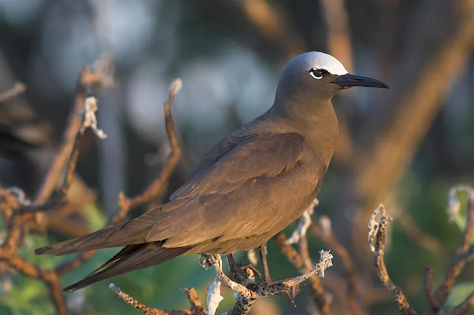

Bird
Red-tailed Tropicbird
Phaethon rubricauda184 records © Brocken Inaglory / Brocken Inaglory · CC BY-SA 3.0
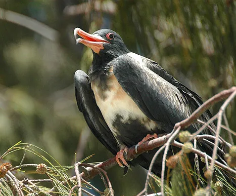
Observed species
Occurrences documented via GBIF; they are neither an exhaustive inventory nor proof of current presence.
- Brown Booby · Sula leucogaster · 239
- Red-footed Booby · Sula sula · 211
- Masked Booby · Sula dactylatra · 201
- Brown Noddy · Anous stolidus · 186
- Red-tailed Tropicbird · Phaethon rubricauda · 184
- Lesser Frigatebird · Fregata ariel · 167
- Silver Gull · Chroicocephalus novaehollandiae · 153
- Wedge-tailed Shearwater · Puffinus pacificus · 133
- Buff-banded Rail · Gallirallus philippensis · 131
- Sooty Tern · Onychoprion fuscatus · 128
- Bridled Tern · Onychoprion anaethetus · 120
- Black Noddy · Anous minutus · 117
+18 more species
- Nankeen Night Heron · Nycticorax caledonicus · 103
- Greater Crested Tern · Thalasseus bergii · 103
- Great Frigatebird · Fregata minor · 87
- Black-naped Tern · Sterna sumatrana · 77
- Ruddy Turnstone · Arenaria interpres · 73
- Herald Petrel · Pterodroma heraldica · 54
- Pacific Golden Plover · Pluvialis fulva · 40
- Staghorn coral · Acropora austera · 33
- Green Turtle · Chelonia mydas · 31
- Whale shark · Rhincodon typus · 26
- Pacific Reef Heron · Egretta sacra · 24
- Finger Coral · Acropora humilis · 24
- Olive ridley turtle · Lepidochelys olivacea · 23
- Lesser Crested Tern · Thalasseus bengalensis · 23
- Flatback · Natator depressus · 22
- Acropora divaricata · 18
- Acropora robusta · 18
- Staghorn coral · Acropora nasuta · 15
Records: GBIF.org (CC-BY). Names: Wikidata (CC0), GBIF. Photos: Wikimedia Commons.
Conservation challenges
The primary purpose of the site is to preserve its natural habitats and the biodiversity they support. The species recorded (Biodiversity tab) reflect its ecological value. Its status as a national park sets the regulatory framework for its protection.
Practical information
Cities and airport
- Airport: Horn Island (HID)
220 km as the crow flies
Data © OpenStreetMap contributors (ODbL) · Wikidata (CC0)
Access and visiting
Nearest airport: Horn Island (HID), about 220 km away. To plan a visit (access, opening periods, visitor rules), it is best to consult the official information from the managing body and the official website listed in this page's sources.
Source: OpenStreetMap (ODbL), Wikidata (CC0), November 2026.
When to visit
Best time to visit: the dry season, from June to September, with less than 30 mm of rain per month. Precipitation peaks from November to March (up to 330 mm per month). Day length ranges from about 11 h 27 min in June to 12 h 48 min in December.
Source: Copernicus ERA5 (C3S), monthly averages 1996–2025 at the representative point, temperatures adjusted for elevation.
Contains modified Copernicus Climate Change Service information 2026. Neither the European Commission nor ECMWF is responsible for any use that may be made of the Copernicus information or data it contains.
Gallery
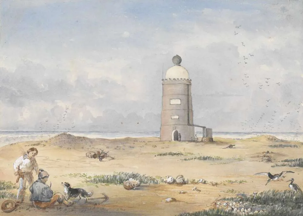
© Edwin Augustus Porcher · Public domain
© Heritage branch staff · CC BY 3.0
Sources and licences
- Wikidata: Q116155241
- OpenStreetMap: relation 13019110
- Official website: https://parks.des.qld.gov.au/parks/raine-island
- Wikipedia: de.wikipedia.org/wiki/Raine-Island-Nationalpark
- WDPA: 555625215
References
- cds.climate.copernicus.eu: climate · CC-BY-4.0
- registry.opendata.aws: elevation of the reference point · PD
- land.copernicus.eu: land cover · COPERNICUS
- naturalearthdata.com: sea share · PD
- wikidata.org: official area, establishment date, nearby cities and airport, official website · CC0-1.0
- gbif.org: coral records, invasive alien species, observed species · CC-BY-4.0
- opentopodata.org: elevations · PD
- openstreetmap.org: official name, access and peaks · ODbL-1.0
- wikidata.org: Wikipedia article · CC-BY-SA-4.0
Data © OpenStreetMap contributors (ODbL), Wikidata (CC0) and the sources cited.