Australia · Terrestrial
Sir James Mitchell National Park
National park of 173 hectares in Australia, established in 1969.
Overview
National park of 173 hectares in Australia, established in 1969.
Sir James Mitchell National Park is located in Australia (Oceania). It is a predominantly terrestrial area. Established in 1969, it covers about 173 hectares. The site is managed by Department of Parks and Wildlife.
In our collections
Frequently asked questions
Where is Sir James Mitchell National Park?
In Australia (Oceania). Representative point: 34.4561° S, 116.2400° E.
How large is Sir James Mitchell National Park?
About 173 hectares (2 km²). It is the 631st largest of the 678 national parks in Australia covered by Parkavela.
When was Sir James Mitchell National Park established?
In 1969.
What habitats and landscapes does Sir James Mitchell National Park include?
A terrestrial area, with forests.
When is the best time to visit Sir James Mitchell National Park?
Best time to visit: from October to April, with average temperatures of 13 to 20 °C and moderate rainfall.
How can I reach Sir James Mitchell National Park by train?
The nearest railway station is Manjimup, about 9 km from the site boundary.
Which species can be seen in Sir James Mitchell National Park?
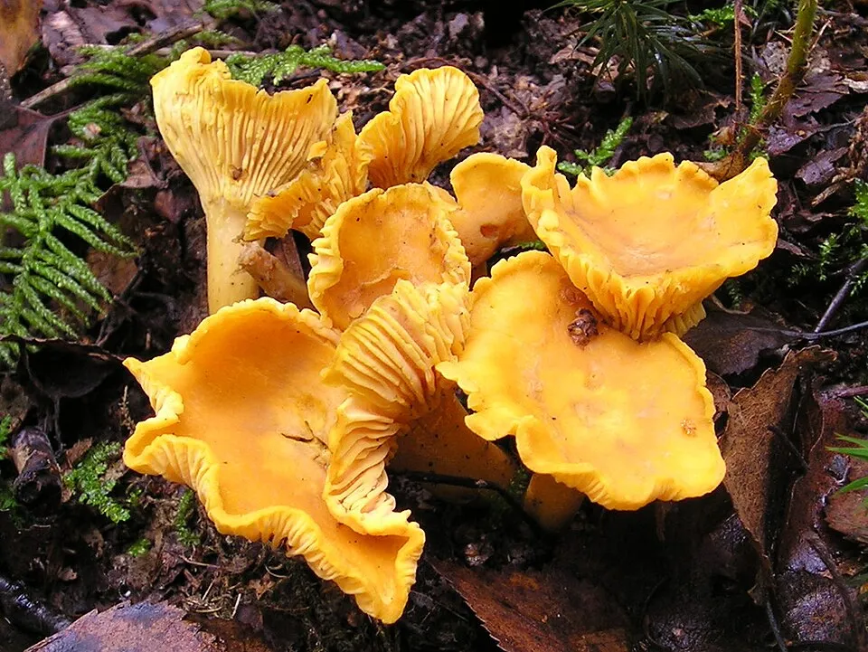
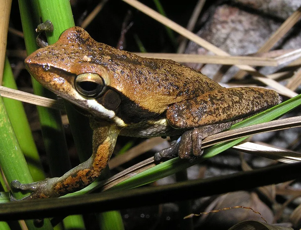
Among the species most often recorded on GBIF are Hardenbergia comptoniana (Native wisteria), Acacia urophylla (Pointed Leaved Acacia), Cantharellus cibarius (Golden chanterelle) and Ranoidea moorei (Moore's Frog).
Who manages Sir James Mitchell National Park?
Department of Parks and Wildlife.
© OpenStreetMap
Download the boundary: GeoJSON · GPX Boundary © OpenStreetMap contributors (ODbL).
Geography
The representative point of the site lies at around 187 m above sea level. Over the 1996–2025 period, the mean annual temperature is about 15.2 °C and total precipitation reaches roughly 600 mm per year. The warmest month is usually February, the coolest July, and the wettest July.
Area
- Area
- 173 ha
- Elevation
- 187 m
- Mean slope
- 5°
- Coordinates
- -34.4561, 116.24
Terrain: Mapzen Terrain Tiles (SRTM, USGS)
Climate
● Mean temperature (°C) · ▮ Precipitation (mm)
Source: Copernicus ERA5-Land (C3S, doi:10.24381/cds.68d2bb30), monthly averages 1996–2025 interpolated to the representative point, temperatures adjusted for elevation.
Contains modified Copernicus Climate Change Service information 2026. Neither the European Commission nor ECMWF is responsible for any use that may be made of the Copernicus information or data it contains.
Natural habitats
According to the global MODIS land cover (NASA, 2024), the site is mainly made up of forests (70%), grassland and meadows (20%) and heath and scrub (10%). It is mostly dense evergreen broadleaved forest. Elevation ranges from about 170 to 270 m (sampled elevations, SRTM).
Biodiversity
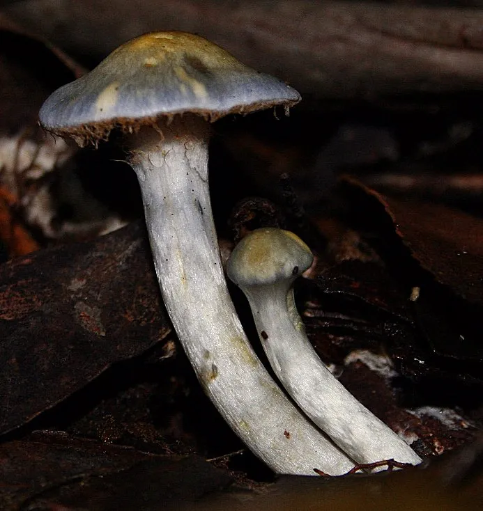
Based on occurrences aggregated by GBIF, several species are regularly recorded within the site. Among the most frequent are Hardenbergia comptoniana (Native wisteria), Acacia urophylla (Pointed Leaved Acacia), Cantharellus cibarius (Golden chanterelle) and Ranoidea moorei (Moore's Frog). The full list of documented taxa is shown below.
Species to look out for

Observed species
Occurrences documented via GBIF; they are neither an exhaustive inventory nor proof of current presence.
- Native wisteria · Hardenbergia comptoniana · 2
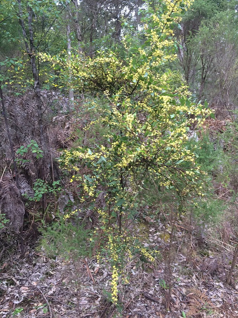
- Pointed Leaved Acacia · Acacia urophylla · 2
- Golden chanterelle · Cantharellus cibarius · 2
- Moore's Frog · Ranoidea moorei · 1
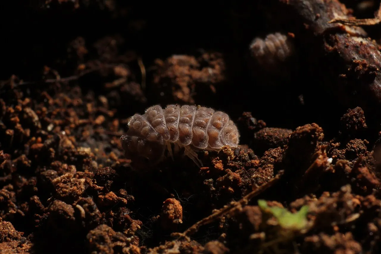
- Common pill woodlouse · Armadillidium vulgare · 1
- Slender Tree Frog · Litoria adelaidensis · 1
- Cortinarius persplendidus · 1
- Elegant blue webcap · Cortinarius rotundisporus · 1
- Crown-tipped Coral Fungus · Artomyces pyxidatus · 1
- Wood hedgehog · Hydnum repandum · 1
- Harlequin-flower · Sparaxis bulbifera · 1
- Leaping spider orchid · Caladenia macrostylis · 1
+18 more species
- Amperea simulans · 1
- Karri · Eucalyptus diversicolor · 1
- Leucopaxillus lilacinus · 1
- Tube lichen · Hypogymnia pulverata · 1
- 28-spotted Potato Ladybird · Henosepilachna vigintioctopunctata · 1
- Yellow-stainer · Agaricus xanthodermus · 1
- Pyronema omphalodes · 1
- Phyllanthus calycinus · 1
- Dog vomit slime mold · Fuligo septica · 1
- White-Flowered Billardiera · Billardiera floribunda · 1
- Rhubarb bolete · Boletellus obscurecoccineus · 1
- Oak-leaf grevillea · Grevillea quercifolia · 1
- Common Grass-Blue · Zizina otis · 1
- Clematis pubescens · 1
- Western Variable Wolf Spider · Venator immansuetus · 1
- Spotted ground swift spider · Nyssus coloripes · 1
- Milky Flower Spider · Zygometis xanthogaster · 1
- Green Elfcup · Chlorociboria aeruginascens · 1
Records: GBIF.org (CC-BY). Names: Wikidata (CC0), GBIF. Photos: Wikimedia Commons.
Conservation challenges
The primary purpose of the site is to preserve its natural habitats and the biodiversity they support. The species recorded (Biodiversity tab) reflect its ecological value. Its status as a national park sets the regulatory framework for its protection.
At night, the area gives off virtually no artificial light detectable from space (NASA VIIRS Black Marble composite, 2016).
Pressure indicators
Tree cover lost
4 ha
2001–2023 · 2% of the area
20012023
Light at night
0%
of the area gives off artificial light visible from space
DarkLit
Sources: Global Forest Change (Hansen et al., University of Maryland, via Global Forest Watch, CC-BY 4.0); EFFIS, European Commission / Copernicus; NASA Black Marble 2016 (public domain); CORINE Land Cover 2018 (Copernicus) or MODIS.
Practical information
Parking
1 public car parks listed within the site
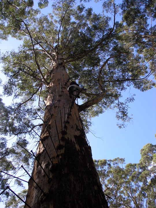
Diamond Tree Lookout
Data © OpenStreetMap contributors (ODbL)
Access and visiting
The nearest railway station is Manjimup, about 9 km from the site boundary. About 7,800 people live within 20 km of the site boundary, 4,600 of them within 10 km (GHSL estimate, 2020). Public car parks listed within the site: 1, including Diamond Tree Lookout. To plan a visit (access, opening periods, visitor rules), it is best to consult the official information from the managing body (Department of Parks and Wildlife) and the official website listed in this page's sources.
Source: OpenStreetMap (ODbL), Wikidata (CC0), November 2026.
When to visit
Best time to visit: from October to April, with average temperatures of 13 to 20 °C and moderate rainfall. Precipitation peaks in July and August (up to 100 mm per month). Day length ranges from about 9 h 52 min in June to 14 h 27 min in December.
Source: Copernicus ERA5-Land (C3S), monthly averages 1996–2025 at the representative point, temperatures adjusted for elevation.
Contains modified Copernicus Climate Change Service information 2026. Neither the European Commission nor ECMWF is responsible for any use that may be made of the Copernicus information or data it contains.
Gallery
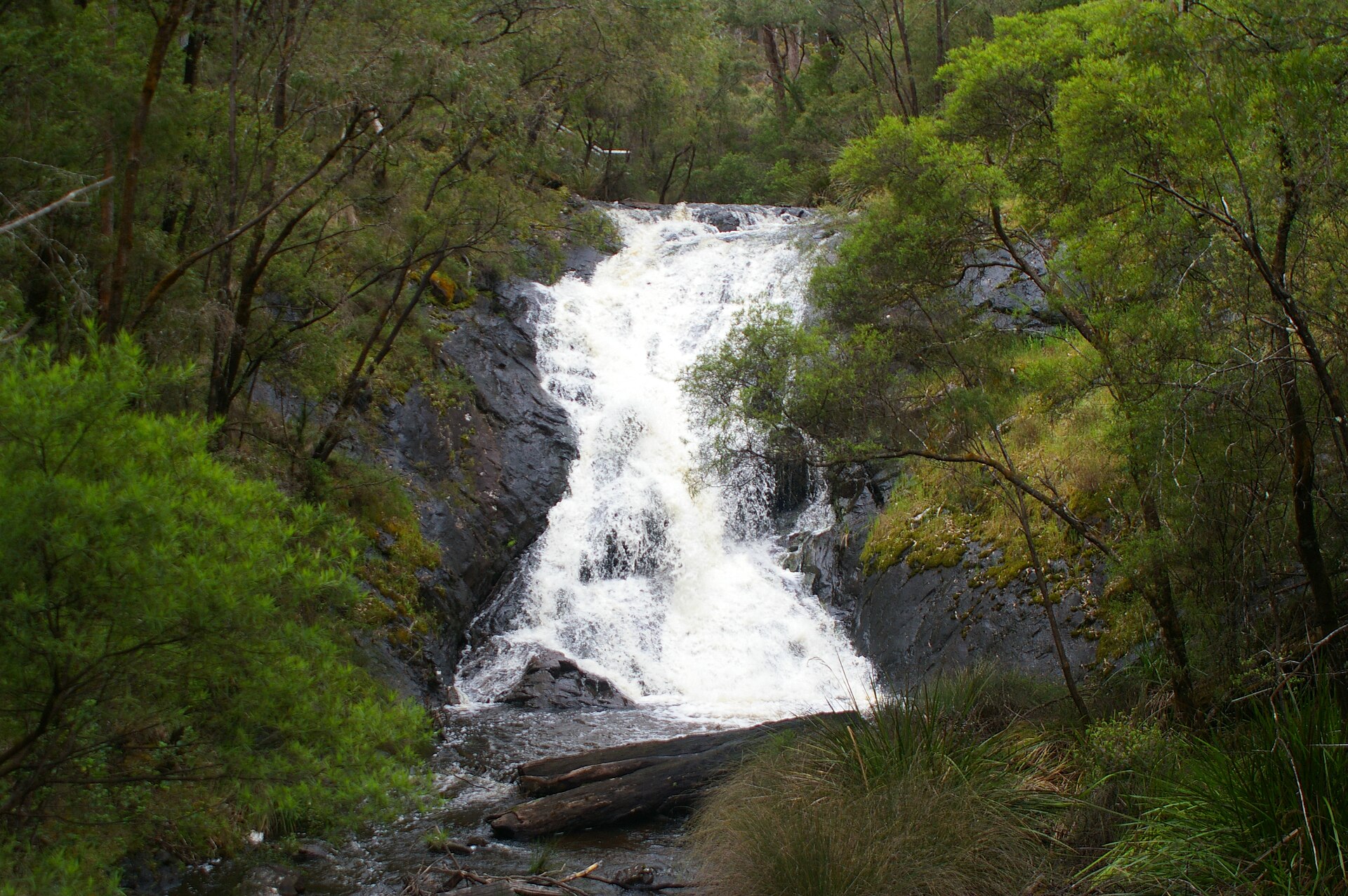
© Martybugs/Martin Pot · CC BY 3.0
Sources and licences
- Wikidata: Q2889744
- OpenStreetMap: relation 6038912
- Wikipedia: en.wikipedia.org/wiki/Sir_James_Mitchell_National_Park
- WDPA: 593
References
- cds.climate.copernicus.eu: climate · CC-BY-4.0
- registry.opendata.aws: elevation of the reference point, detailed relief · PD
- lpdaac.usgs.gov: land cover · PD
- doi.org: population around the site · CC-BY-4.0
- naturalearthdata.com: sea share · PD
- wikidata.org: official area, highest point, establishment date, protected heritage, managing body, official name, nearby cities and airport, access and peaks, lake depths, places to see · CC0-1.0
- en.eurovelo.com: EuroVelo cycle routes · ODbL-1.0
- cycling.waymarkedtrails.org: cycle routes · ODbL-1.0
- opentopodata.org: elevations · PD
- globalforestwatch.org: tree cover loss · CC-BY-4.0
- gbif.org: seasonality of sightings, invasive alien species, observed species · CC-BY-4.0
- earthobservatory.nasa.gov: night light · PD
- openstreetmap.org: access and peaks · ODbL-1.0
- nsidc.org: snow cover · PD
- wikidata.org: Wikipedia article · CC-BY-SA-4.0
Data © OpenStreetMap contributors (ODbL), Wikidata (CC0) and the sources cited.