
Australia · Terrestrial
Staaten River National Park
National park of 468,773 hectares in Australia, established in 1977.
Overview
National park of 468,773 hectares in Australia, established in 1977.
Staaten River National Park is located in Australia (Oceania). It is a predominantly terrestrial area. Established in 1977, it covers about 468,773 hectares.
In our collections
Frequently asked questions
Where is Staaten River National Park?
In Australia (Oceania). Representative point: 16.6568° S, 142.7984° E.
How large is Staaten River National Park?
About 468,773 hectares (4,688 km²). It is the 20th largest of the 678 national parks in Australia covered by Parkavela.
When was Staaten River National Park established?
In 1977.
What habitats and landscapes does Staaten River National Park include?
A terrestrial area, where land cover is dominated by grassland and meadows (99%).
When is the best time to visit Staaten River National Park?
Best time to visit: the dry season, from June to September, with less than 10 mm of rain per month.
Which species can be seen in Staaten River National Park?
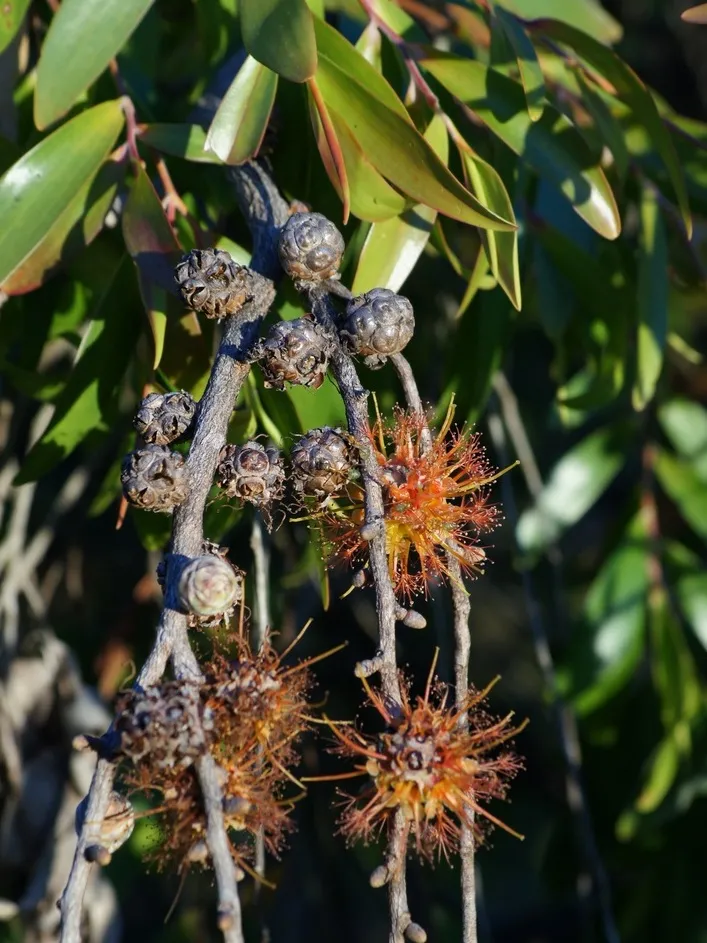
Among the species most often recorded on GBIF are Melaleuca viridiflora (Niaouli-tree), Schizachyrium fragile (Red spathe grass), Melaleuca citrolens (Lemon-scented Paperbark) and Thaumastochloa major.
© OpenStreetMap
Download the boundary: GeoJSON · GPX Boundary © OpenStreetMap contributors (ODbL).
Geography
The representative point of the site lies at around 83 m above sea level. Over the 1996–2025 period, the mean annual temperature is about 27.3 °C and total precipitation reaches roughly 899 mm per year. The warmest month is usually November, the coolest July, and the wettest January.
Area
- Area
- 468,773 ha
- Elevation
- 83 m
- Coordinates
- -16.6568, 142.7984
Climate
● Mean temperature (°C) · ▮ Precipitation (mm)
Source: Copernicus ERA5-Land (C3S, doi:10.24381/cds.68d2bb30), monthly averages 1996–2025 interpolated to the representative point, temperatures adjusted for elevation.
Contains modified Copernicus Climate Change Service information 2026. Neither the European Commission nor ECMWF is responsible for any use that may be made of the Copernicus information or data it contains.
Natural habitats
According to the global MODIS land cover (NASA, 2024), the site is mainly made up of grassland and meadows (99%). Elevation ranges from about 40 to 140 m (sampled elevations, SRTM).
Biodiversity
Based on occurrences aggregated by GBIF, several species are regularly recorded within the site. Among the most frequent are Melaleuca viridiflora (Niaouli-tree), Schizachyrium fragile (Red spathe grass), Melaleuca citrolens (Lemon-scented Paperbark) and Thaumastochloa major. The full list of documented taxa is shown below.
Species to look out for

Observed species
Occurrences documented via GBIF; they are neither an exhaustive inventory nor proof of current presence.
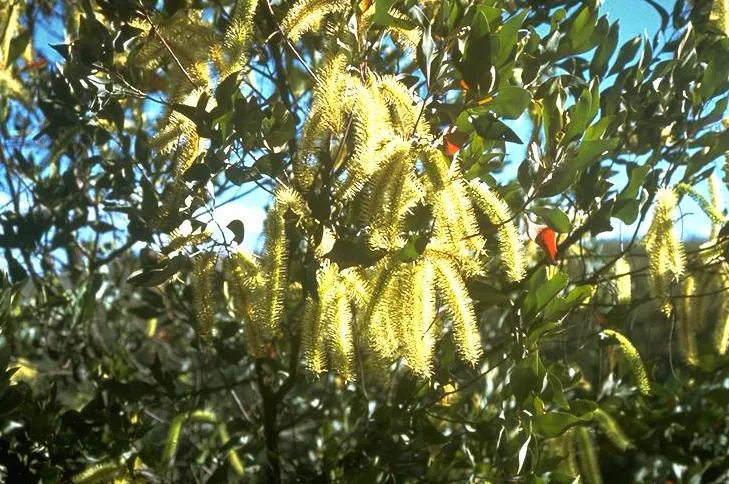
- Niaouli-tree · Melaleuca viridiflora · 25
- Red spathe grass · Schizachyrium fragile · 22
- Lemon-scented Paperbark · Melaleuca citrolens · 17
- Thaumastochloa major · 14
- Eriachne stipacea · 13
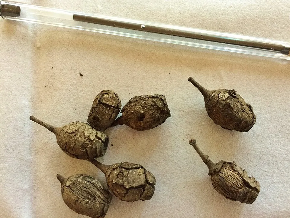
- Long-fruited-bloodwood · Corymbia polycarpa · 13
- Abildgaardia schoenoides · 12
- Cartonema parviflorum · 12
- Smooth-leaved Quinine · Petalostigma banksii · 12
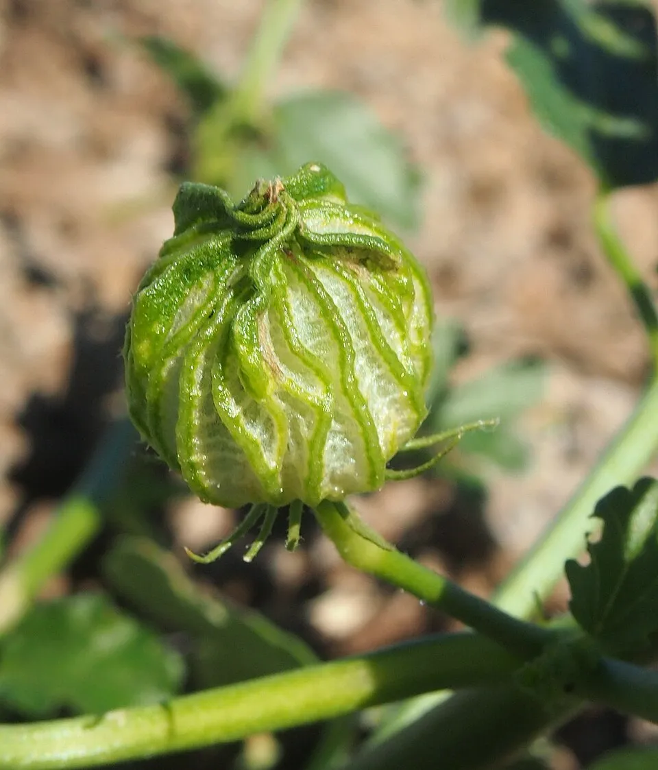
- Merauke hibiscus · Hibiscus meraukensis · 12
- Bushman's clothes peg · Grevillea glauca · 12
- Panicum mindanaense · 12
+18 more species
- Rhynchospora croydonensis · 12
- Liniment-tree · Asteromyrtus symphyocarpa · 11
- Drosera ordensis · 11
- Cockatoo grass · Alloteropsis semialata · 11
- Silver Cadjeput · Melaleuca argentea · 11
- Hawai'i yelloweyed grass · Xyris complanata · 10
- Hare's foot grass · Eragrostis leporina · 9
- Sarga plumosa · 9
- Northern wanderrie grass · Eriachne obtusa · 9
- Tephrosia leptoclada · 9
- Darwin silky-oak · Grevillea pteridifolia · 9
- Pteris platyzomopsis · 9
- Cooktown ironwood · Erythrophleum chlorostachys · 8
- Microstachys chamaelea · 8
- Silver-leaf ironbark · Eucalyptus melanophloia · 8
- Erect Kerosene Grass · Aristida holathera · 8
- Copper-plant · Polycarpaea spirostylis · 8
- Gomphrena-weed · Gomphrena flaccida · 8
Records: GBIF.org (CC-BY). Names: Wikidata (CC0), GBIF. Photos: Wikimedia Commons.
Conservation challenges
The primary purpose of the site is to preserve its natural habitats and the biodiversity they support. The species recorded (Biodiversity tab) reflect its ecological value. Its status as a national park sets the regulatory framework for its protection.
At night, the area gives off virtually no artificial light detectable from space (NASA VIIRS Black Marble composite, 2016).
Pressure indicators
Tree cover lost
1 ha
2001–2023 · < 1% of the area
20012023
Light at night
0%
of the area gives off artificial light visible from space
DarkLit
Invasive alien species
1
recorded since 2000
Sources: Global Forest Change (Hansen et al., University of Maryland, via Global Forest Watch, CC-BY 4.0); EFFIS, European Commission / Copernicus; NASA Black Marble 2016 (public domain); CORINE Land Cover 2018 (Copernicus) or MODIS.
Invasive alien species: Global Register of Introduced and Invasive Species (ISSG, CC BY 4.0); Union list, Regulation (EU) 1143/2014 (INBO, CC0); GBIF.org records (CC0 / CC BY 4.0), at least 2 per species.
Access and visiting
To plan a visit (access, opening periods, visitor rules), it is best to consult the official information from the managing body and the official website listed in this page's sources.
When to visit
Best time to visit: the dry season, from June to September, with less than 10 mm of rain per month. Precipitation peaks from December to March (up to 240 mm per month). Day length ranges from about 11 h 08 min in June to 13 h 07 min in December. Wildlife records published on GBIF peak for birds (March) and plants (April). These peaks also reflect when observers are most active.
Source: Copernicus ERA5-Land (C3S), monthly averages 1996–2025 at the representative point, temperatures adjusted for elevation.
Contains modified Copernicus Climate Change Service information 2026. Neither the European Commission nor ECMWF is responsible for any use that may be made of the Copernicus information or data it contains.
Wildlife records calendar
JFMAMJJASOND
Birds
Plants
Monthly records published on GBIF (CC-BY), relative to the busiest month; also reflects observer activity.
Gallery
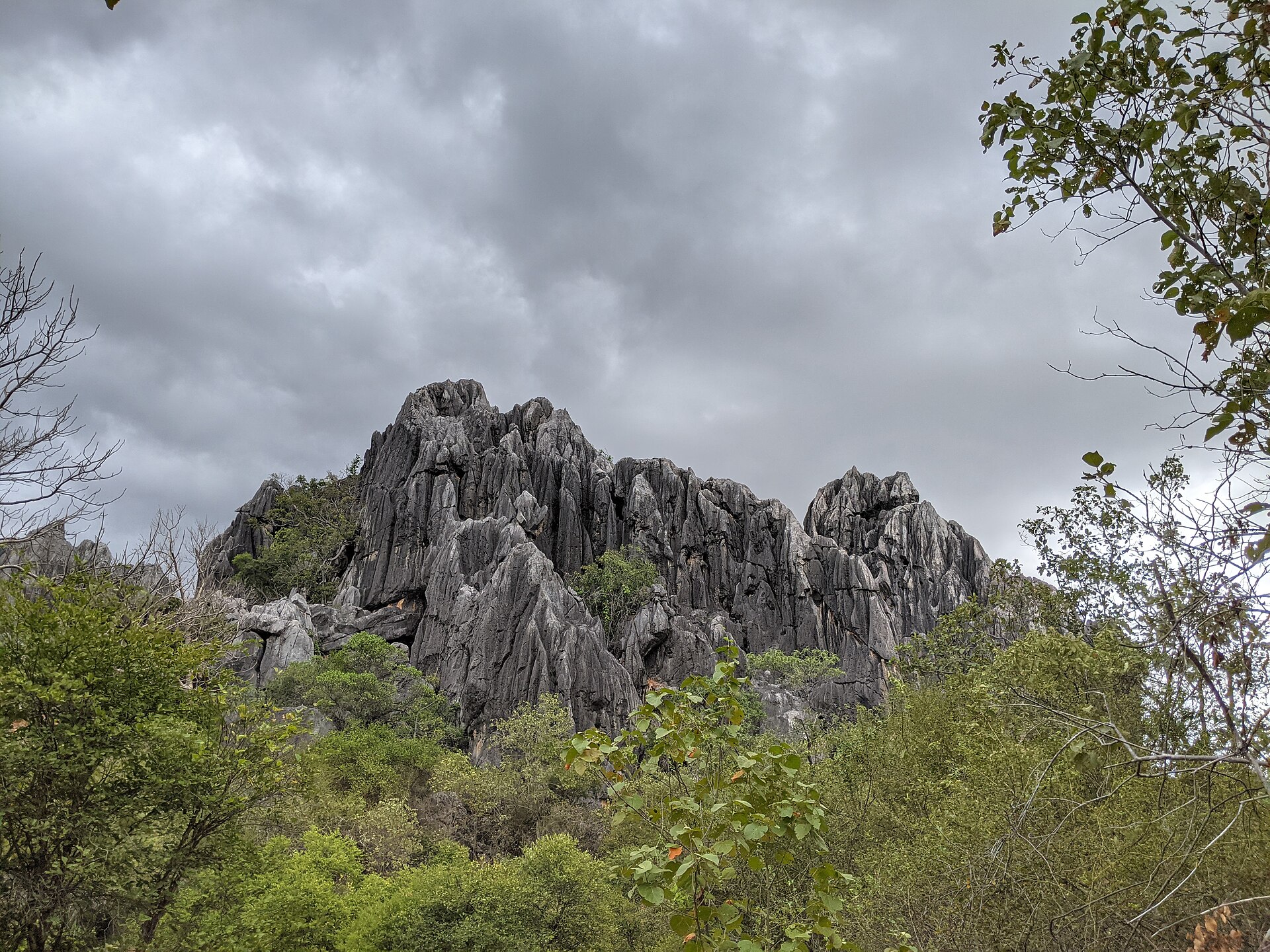
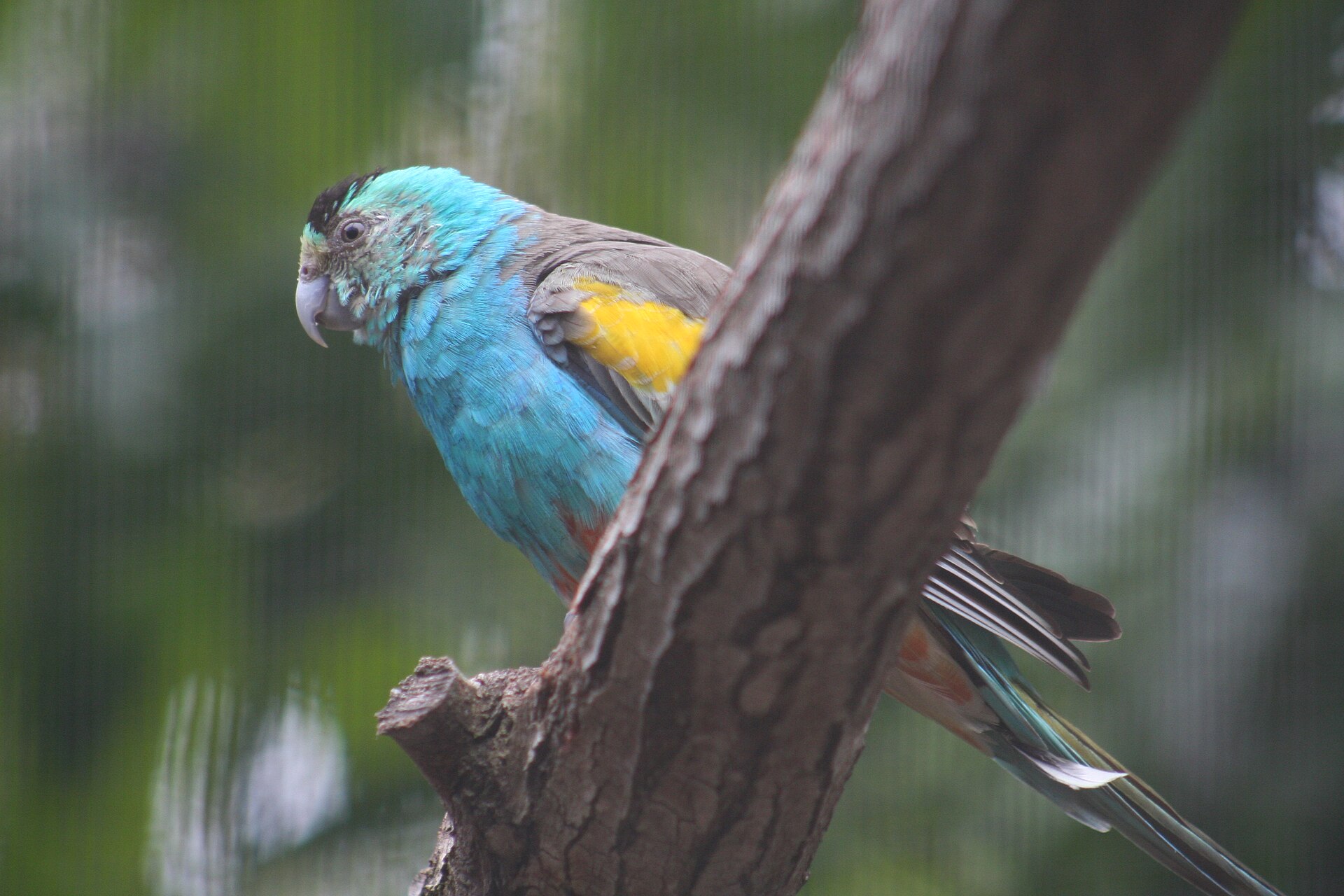
© TheGirlsNY · CC BY-SA 2.0
Sources and licences
- Wikidata: Q212134
- OpenStreetMap: relation 8669524
- Wikipedia: en.wikipedia.org/wiki/Staaten_River_National_Park
- WDPA: 400
References
- cds.climate.copernicus.eu: climate · CC-BY-4.0
- registry.opendata.aws: elevation of the reference point, detailed relief · PD
- lpdaac.usgs.gov: land cover · PD
- doi.org: population around the site · CC-BY-4.0
- naturalearthdata.com: sea share · PD
- wikidata.org: official area, highest point, establishment date, protected heritage, nearby cities and airport, lake depths · CC0-1.0
- en.eurovelo.com: EuroVelo cycle routes · ODbL-1.0
- cycling.waymarkedtrails.org: cycle routes · ODbL-1.0
- opentopodata.org: elevations · PD
- globalforestwatch.org: tree cover loss · CC-BY-4.0
- gbif.org: seasonality of sightings, invasive alien species, observed species · CC-BY-4.0
- openstreetmap.org: official name, access and peaks · ODbL-1.0
- earthobservatory.nasa.gov: night light · PD
- nsidc.org: snow cover · PD
- wikidata.org: Wikipedia article · CC-BY-SA-4.0
Data © OpenStreetMap contributors (ODbL), Wikidata (CC0) and the sources cited.