Indonesia · Marine
Taka Bone Rate National Park
National park of 530,700 hectares in Indonesia, established in 1992.
Overview
National park of 530,700 hectares in Indonesia, established in 1992.
Taka Bone Rate National Park is located in Indonesia (Asia). It is a predominantly marine area. Established in 1992, it covers about 530,700 hectares.
Protections and designations
UNESCO Biosphere Reserve
World Heritage tentative list
Protected as a national park. International labels and designations: UNESCO Biosphere Reserve (“Taka Bonerate-Kepulauan Selayar”).
Frequently asked questions
Where is Taka Bone Rate National Park?
In Indonesia (Asia). Representative point: 6.6833° S, 121.1500° E.
How large is Taka Bone Rate National Park?
About 530,700 hectares (5,307 km²). It is the 10th largest of the 54 national parks in Indonesia covered by Parkavela.
When was Taka Bone Rate National Park established?
In 1992.
What habitats and landscapes does Taka Bone Rate National Park include?
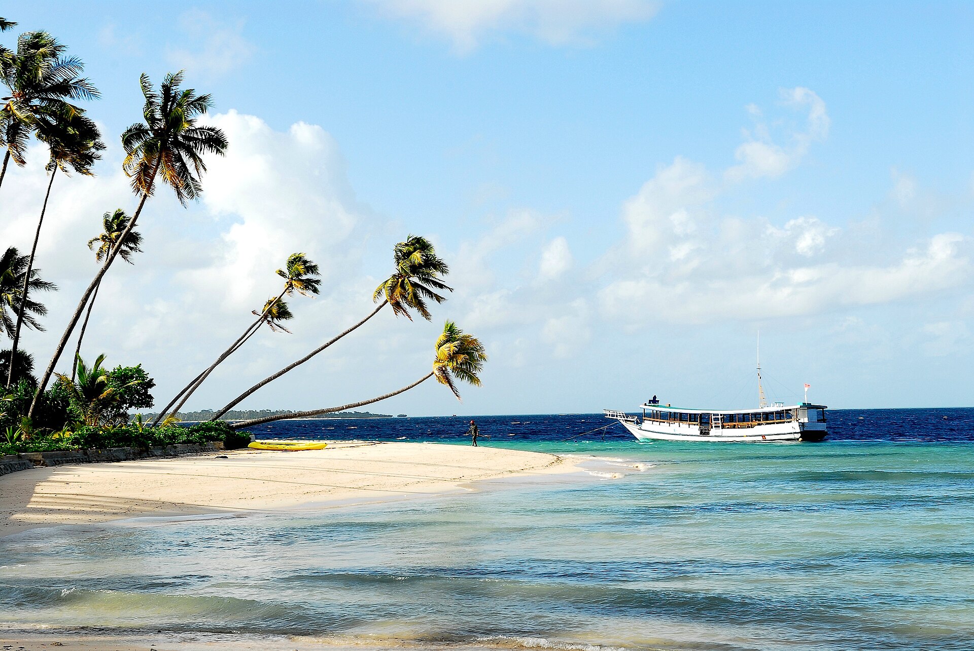
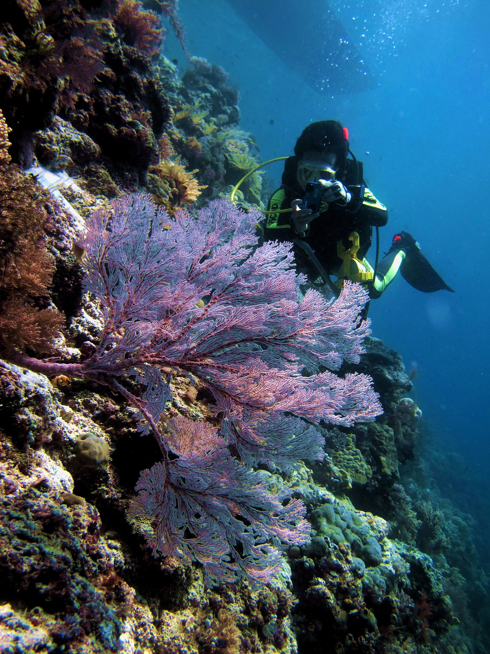
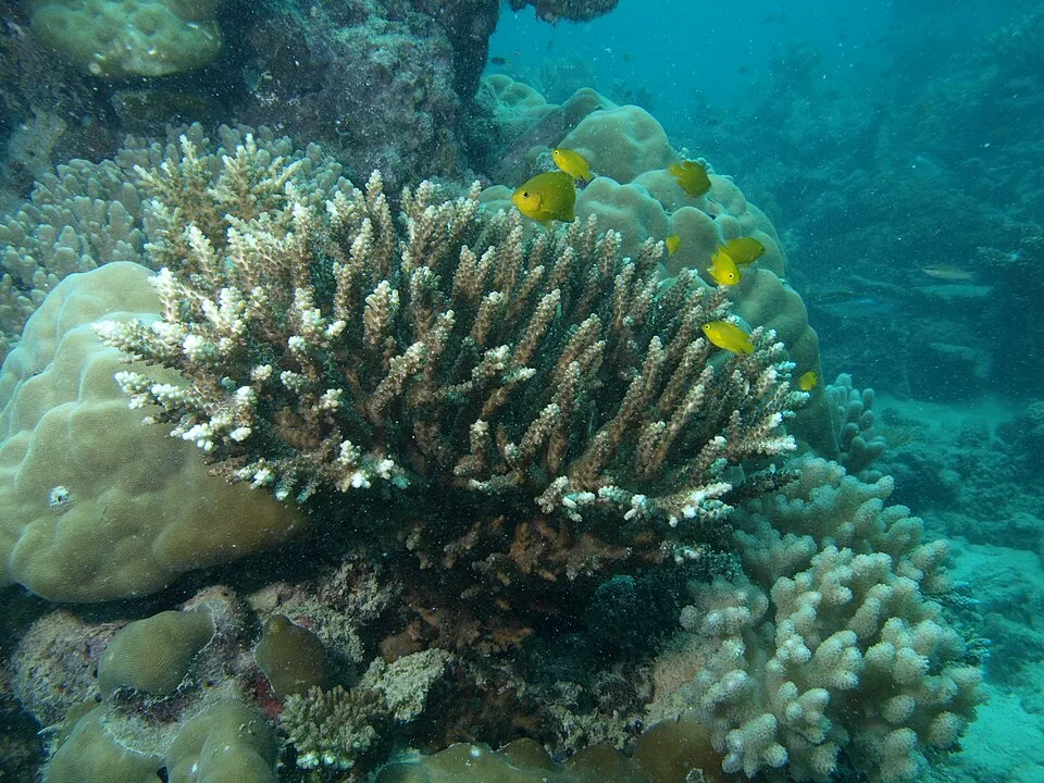
A marine area, with coral reefs.
Which international labels apply to Taka Bone Rate National Park?
UNESCO Biosphere Reserve (“Taka Bonerate-Kepulauan Selayar”).
When is the best time to visit Taka Bone Rate National Park?
Best time to visit: the dry season, from June to September, with less than 60 mm of rain per month.
What is the nearest airport to Taka Bone Rate National Park?
Nearest airport: Betoambari (BUW), about 155 km away.
Which species can be seen in Taka Bone Rate National Park?
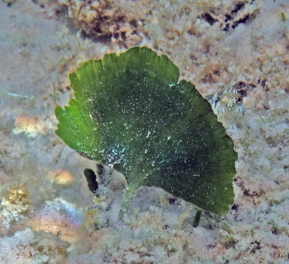
Among the species most often recorded on GBIF are Balanophyllia stimpsonii (Balanophyllia (Eupsammia) stimpsonii), Truncatoflabellum aculeatum, Acropora divaricata and Udotea flabellum (Mermaid's-fan alga).
© OpenStreetMap
Download the boundary: GeoJSON · GPX Boundary © OpenStreetMap contributors (ODbL).
Geography
Over the 1996–2025 period, the mean annual temperature is about 27.3 °C and total precipitation reaches roughly 1,811 mm per year. The warmest month is usually November, the coolest August, and the wettest December.
Area
- Area
- 530,700 ha
- Coordinates
- -6.6833, 121.15
Climate
● Mean temperature (°C) · ▮ Precipitation (mm)
Source: Copernicus ERA5 (C3S, doi:10.24381/cds.f17050d7), monthly averages 1996–2025 interpolated to the representative point, temperatures adjusted for elevation.
Contains modified Copernicus Climate Change Service information 2026. Neither the European Commission nor ECMWF is responsible for any use that may be made of the Copernicus information or data it contains.
Natural habitats
The site is almost entirely marine. The seabed reaches about 2,584 m deep (median depth 325 m; GEBCO bathymetry). Reef-building corals are documented in the area: 247 records published on GBIF.
Biodiversity
Based on occurrences aggregated by GBIF, several species are regularly recorded within the site. Among the most frequent are Balanophyllia stimpsonii (Balanophyllia (Eupsammia) stimpsonii), Truncatoflabellum aculeatum, Acropora divaricata and Udotea flabellum (Mermaid's-fan alga). The full list of documented taxa is shown below.
Species to look out for

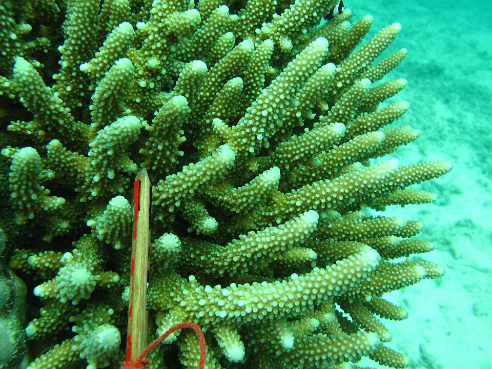
Observed species
Occurrences documented via GBIF; they are neither an exhaustive inventory nor proof of current presence.
- Balanophyllia (Eupsammia) stimpsonii · Balanophyllia stimpsonii · 16
- Truncatoflabellum aculeatum · 16
- Acropora divaricata · 15
- Mermaid's-fan alga · Udotea flabellum · 13
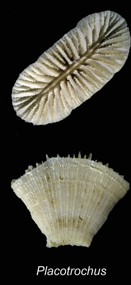
- Placotrochus laevis · 12
- Staghorn coral · Acropora spicifera · 12
- Staghorn coral · Acropora selago · 12
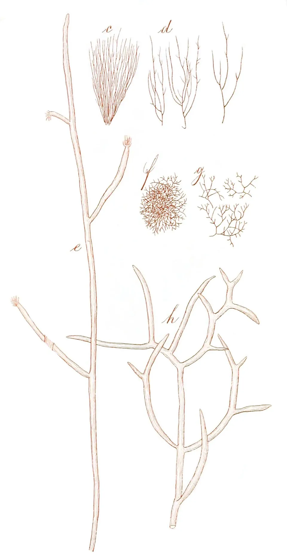
- Wurdemannia miniata · 11
- Acropora samoensis · 9
- Staghorn coral · Acropora nasuta · 9
- Acropora subglabra · 9
- Staghorn coral · Acropora aculeus · 9
+18 more species
- Staghorn coral · Acropora echinata · 9
- Staghorn coral · Acropora polystoma · 9
- Bali Shortcake · Acropora latistella · 9
- Balanophyllia carinata · 8
- Millerella myrioclada · 6
- Halimeda lacunalis · 6
- Halimeda distorta · 6
- Gelidiella lubrica · 6
- Acropora valenciennesi · 6
- Acropora grandis · 6
- Species code: Ho · Halophila ovalis · 6
- Enallopsammia pusilla · 5
- Ocular coral · Madrepora oculata · 5
- Cactus Tree Algae · Caulerpa cupressoides · 5
- Caulerpa chemnitzia · 5
- Killer alga · Caulerpa taxifolia · 5
- Erect sea cactus · Halimeda macroloba · 5
- Watercress Algae · Halimeda opuntia · 5
Records: GBIF.org (CC-BY). Names: Wikidata (CC0), GBIF. Photos: Wikimedia Commons.
Conservation challenges
The primary purpose of the site is to preserve its natural habitats and the biodiversity they support. The species recorded (Biodiversity tab) reflect its ecological value. The designations it holds frame its management and the control of land use.
Practical information
Cities and airport
- Airport: Betoambari (BUW)
155 km as the crow flies
Data: Wikidata (CC0), pending OpenStreetMap data
Access and visiting
Nearest airport: Betoambari (BUW), about 155 km away. About 13,000 people live within 20 km of the site boundary (GHSL estimate, 2020). This population has grown by about 13% since 2000. To plan a visit (access, opening periods, visitor rules), it is best to consult the official information from the managing body and the official website listed in this page's sources.
Source: Wikidata (CC0), November 2026.
When to visit
Best time to visit: the dry season, from June to September, with less than 60 mm of rain per month. Precipitation peaks from November to February (up to 310 mm per month). Day length ranges from about 11 h 44 min in June to 12 h 30 min in December. Wildlife records published on GBIF peak for plants (September). These peaks also reflect when observers are most active.
Source: Copernicus ERA5 (C3S), monthly averages 1996–2025 at the representative point, temperatures adjusted for elevation.
Contains modified Copernicus Climate Change Service information 2026. Neither the European Commission nor ECMWF is responsible for any use that may be made of the Copernicus information or data it contains.
Wildlife records calendar
JFMAMJJASOND
Plants
Monthly records published on GBIF (CC-BY), relative to the busiest month; also reflects observer activity.
Gallery
© Fakhrizal Setiawan · CC BY-SA 4.0
© RaiyaniM · CC BY-SA 4.0
© Rizalubun · CC BY-SA 4.0
© Bahnfrend · CC BY-SA 4.0
© RaiyaniM · CC BY-SA 4.0
© RaiyaniM · CC BY-SA 4.0
Sources and licences
- Wikidata: Q1517567
- Wikipedia: en.wikipedia.org/wiki/Taka_Bonerate_National_Park
- WDPA: 8871
References
- cds.climate.copernicus.eu: climate · CC-BY-4.0
- registry.opendata.aws: elevation of the reference point · PD
- lpdaac.usgs.gov: land cover · PD
- doi.org: population around the site · CC-BY-4.0
- naturalearthdata.com: sea share · PD
- wikidata.org: official area, establishment date, official name, nearby cities and airport, access and peaks, places to see · CC0-1.0
- gbif.org: coral records, seasonality of sightings, invasive alien species, observed species · CC-BY-4.0
- gebco.net: depths · PD
- opentopodata.org: elevations · PD
- wikidata.org: Wikipedia article · CC-BY-SA-4.0
Data © OpenStreetMap contributors (ODbL), Wikidata (CC0) and the sources cited.