Bird
Superb fairywren
Malurus cyaneus886 records © JJ Harrison (https://www.jjharrison.com.au/) · CC BY-SA 3.0
Australia · Terrestrial
National park of 9,700 hectares in Australia, established in 1999.
National park of 9,700 hectares in Australia, established in 1999.
Tasman National Park is located in Australia (Oceania). It is a predominantly terrestrial area. Established on 30 April 1999, it covers about 9,700 hectares. The site is managed by Tasmania Parks and Wildlife Service.
In Australia (Oceania). Representative point: 42.8553° S, 147.9760° E.
About 9,700 hectares (97 km²). It is the 294th largest of the 678 national parks in Australia covered by Parkavela. About 1,400 ha are at sea.
On 30 April 1999.
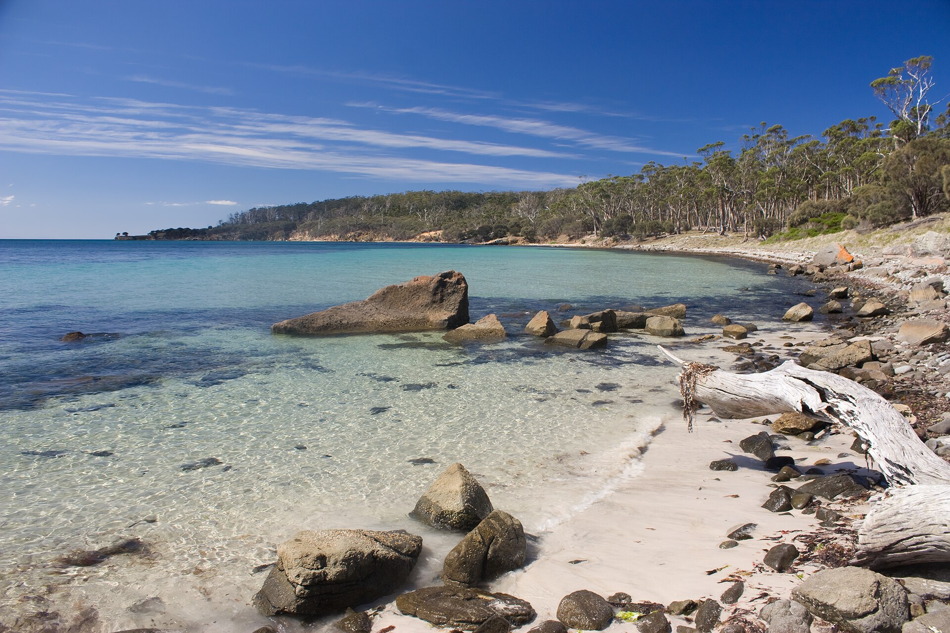
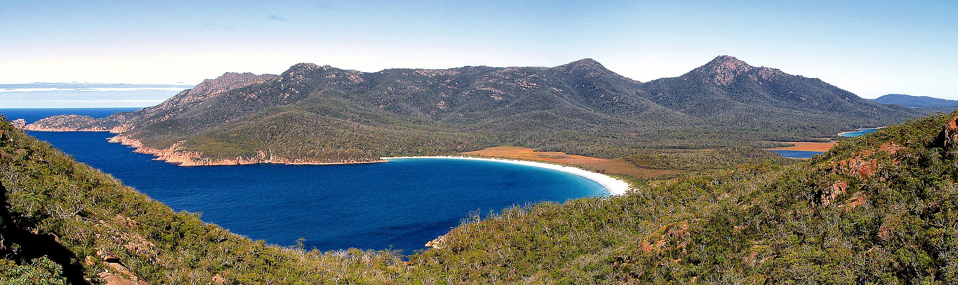
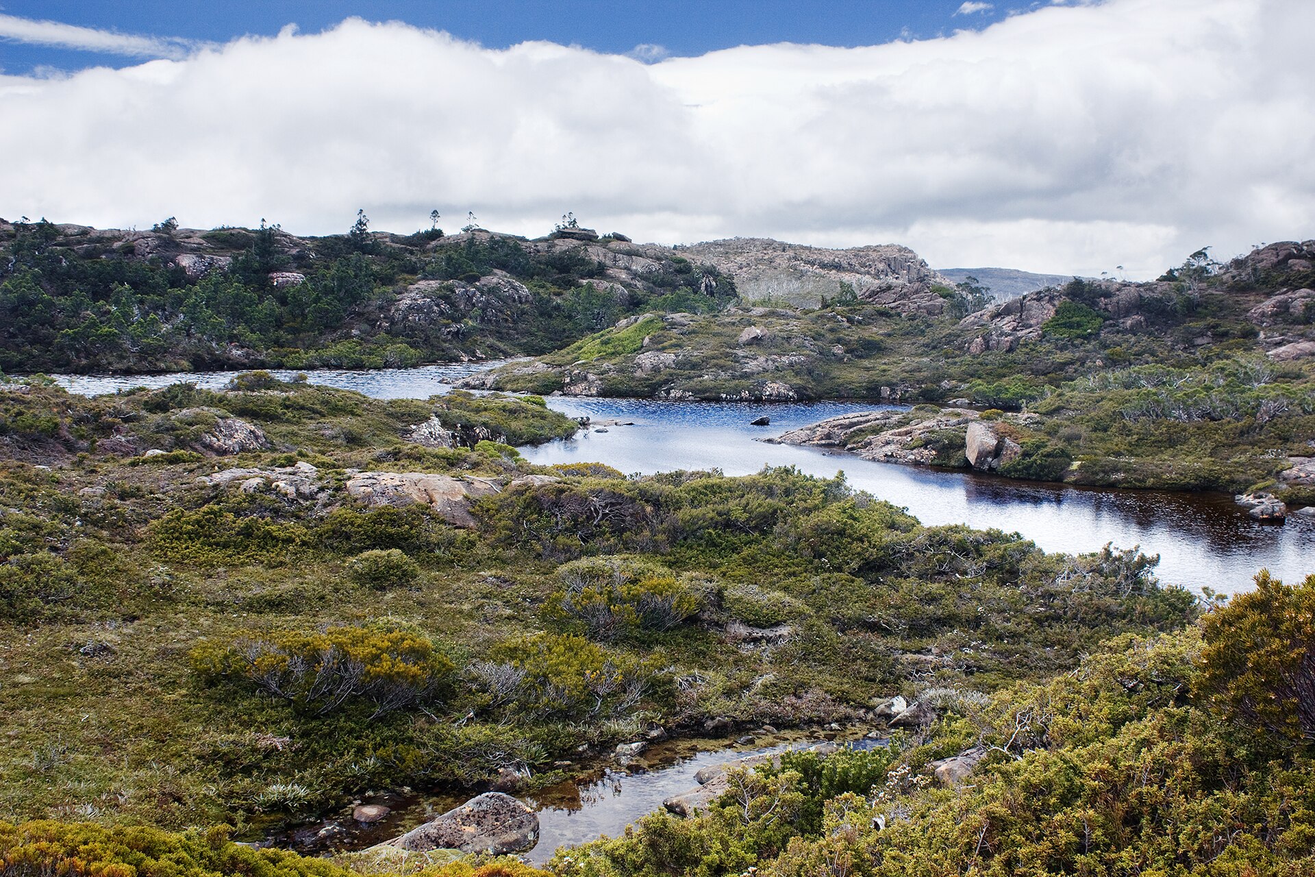
A terrestrial area, with forests and coasts.
Tatnells Hill, at 560 m (OpenStreetMap).
Tatnells Hill (560 m), Mount Fortescue (490 m), Mount Raoul (462 m), Clemes Peak (410 m) and Crescent Mountain (390 m) (OpenStreetMap).
The climate suits visits all year round.
Yes. According to Wikidata, 2 monuments listed on Australian state heritage registers or the Commonwealth Heritage List stand within the boundary. For example: “Tasman Island Lighthouse” in Tasmania.
Nearest towns of over 50,000 people, as the crow flies: Hobart (43 km). Nearest airport: Hobart (HBA), about 37 km away.
The nearest railway station is Bush Mill Station site (15" gauge abandoned), about 3 km from the site boundary.
Yes. Waymarked hiking routes listed in OpenStreetMap: 2, including Three Capes Track. The “Three Capes Track” route runs for about 38 km through the site, with some 1,390 m of ascent on its longest section.
Among the species most often recorded on GBIF are Malurus cyaneus (Superb fairywren), Larus dominicanus (Kelp Gull), Chroicocephalus novaehollandiae (Silver Gull) and Corvus tasmanicus (Forest Raven).
Tasmania Parks and Wildlife Service.
© OpenStreetMap
Download the boundary: GeoJSON · GPX Boundary © OpenStreetMap contributors (ODbL).
The representative point of the site lies at around 19 m above sea level. Over the 1996–2025 period, the mean annual temperature is about 12.9 °C and total precipitation reaches roughly 631 mm per year. The warmest month is usually January, the coolest July, and the wettest November.
Terrain: Mapzen Terrain Tiles (SRTM, USGS)
Data © OpenStreetMap contributors (ODbL)
● Mean temperature (°C) · ▮ Precipitation (mm)
Source: Copernicus ERA5-Land (C3S, doi:10.24381/cds.68d2bb30), monthly averages 1996–2025 interpolated to the representative point, temperatures adjusted for elevation.
Contains modified Copernicus Climate Change Service information 2026. Neither the European Commission nor ECMWF is responsible for any use that may be made of the Copernicus information or data it contains.
According to the global MODIS land cover (NASA, 2024), the site is mainly made up of forests (88%) and marshes and bogs (11%). It is mostly dense evergreen broadleaved forest. The site borders the coast. Elevation ranges from sea level to 560 m (highest point: Tatnells Hill). Median elevation is 171 m (SRTM elevation model). The terrain is steep: 12% of slopes exceed 30° (mean slope 15°).
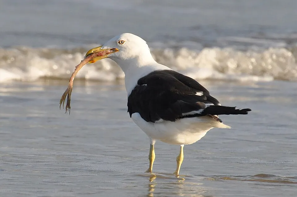
Based on occurrences aggregated by GBIF, several species are regularly recorded within the site. Among the most frequent are Malurus cyaneus (Superb fairywren), Larus dominicanus (Kelp Gull), Chroicocephalus novaehollandiae (Silver Gull) and Corvus tasmanicus (Forest Raven). The full list of documented taxa is shown below.
Bird
886 records © JJ Harrison (https://www.jjharrison.com.au/) · CC BY-SA 3.0
Bird
757 records © Cláudio Dias Timm from Rio Grande do Sul · CC BY-SA 2.0

Bird
606 records © JJ Harrison (https://www.jjharrison.com.au/) · CC BY-SA 3.0

Bird
588 records © JJ Harrison (https://www.jjharrison.com.au/) · CC BY-SA 3.0
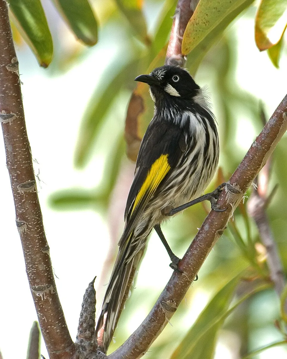
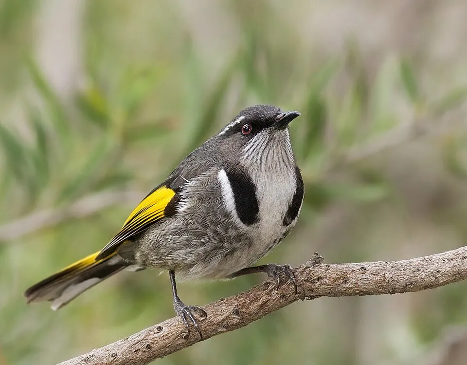
Bird
466 records © JJ Harrison (https://www.jjharrison.com.au/) · CC BY-SA 3.0
Occurrences documented via GBIF; they are neither an exhaustive inventory nor proof of current presence.
Records: GBIF.org (CC-BY). Names: Wikidata (CC0), GBIF. Photos: Wikimedia Commons.
The primary purpose of the site is to preserve its natural habitats and the biodiversity they support. The species recorded (Biodiversity tab) reflect its ecological value. Its status as a national park sets the regulatory framework for its protection.
According to Global Forest Change data (University of Maryland, Global Forest Watch), about 563 ha of tree cover were lost within the boundary between 2001 and 2023 (6% of its area), peaking in 2004 and 2020. These losses include logging, storms and fires, and do not account for regrowth. At night, the area gives off virtually no artificial light detectable from space (NASA VIIRS Black Marble composite, 2016). Since 2000, 37 invasive alien species have been recorded within the site (GBIF observations). Among them: Sturnus vulgaris (Common Starling), Tyto novaehollandiae (Australian Masked Owl) and Eucalyptus globulus (Tasmanian bluegum).
563 ha
2001–2023 · 6% of the area
0%
of the area gives off artificial light visible from space
37
recorded since 2000
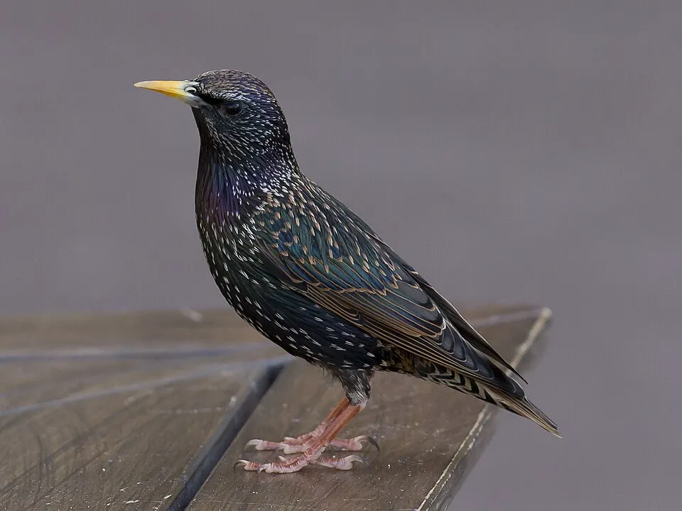 Common Starling
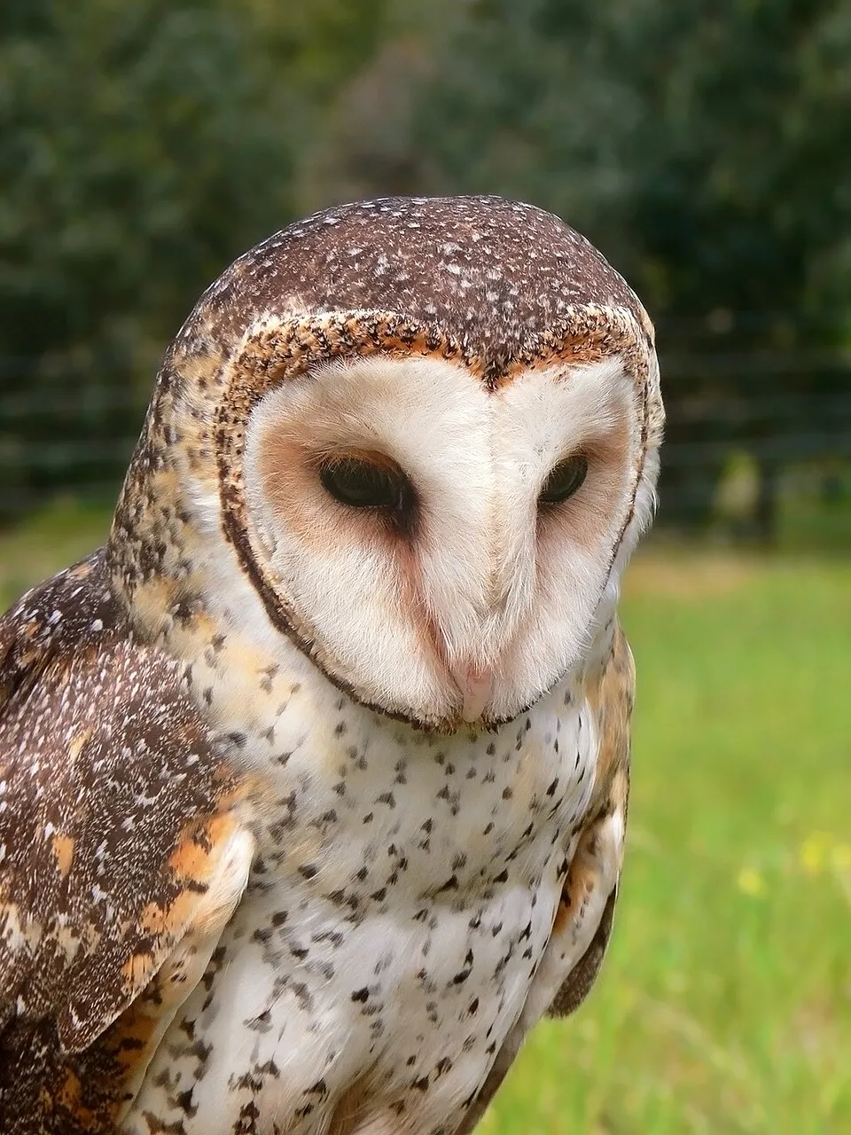 Australian Masked Owl
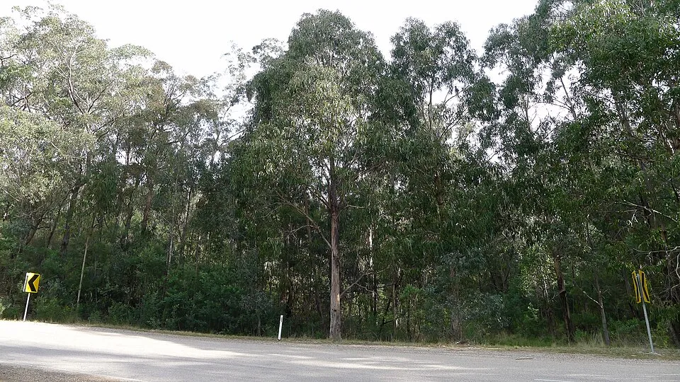 Tasmanian bluegum
 Yarrow
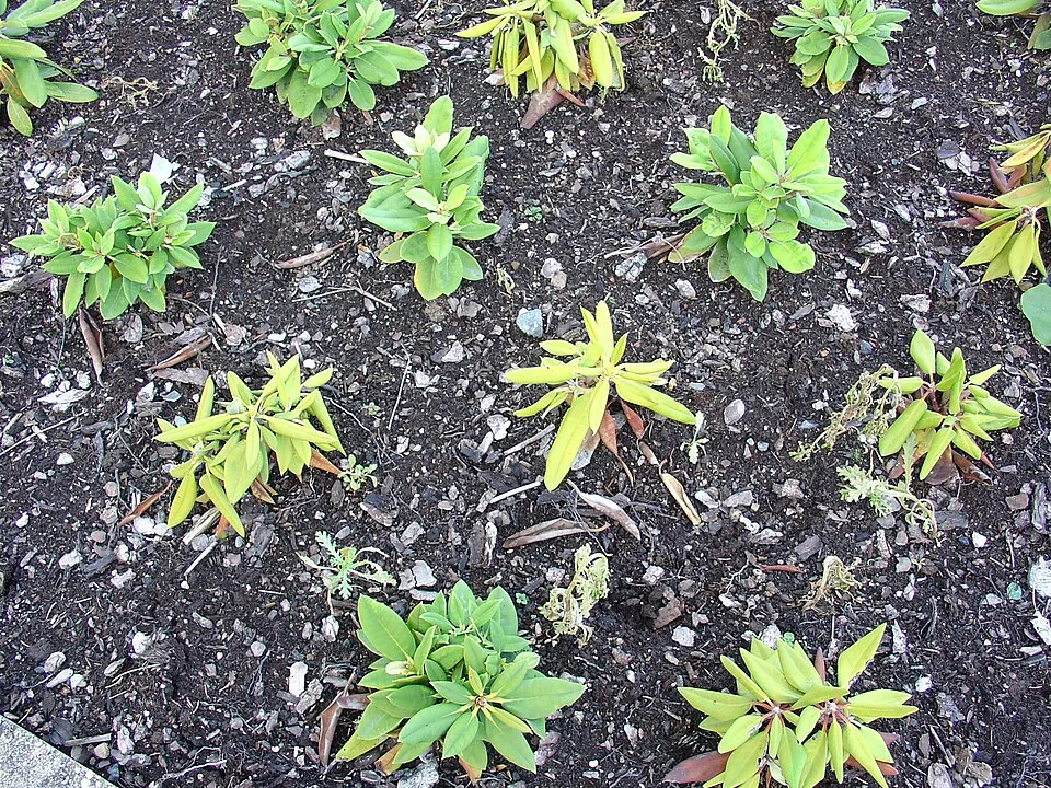 Phytophthora Root Rot
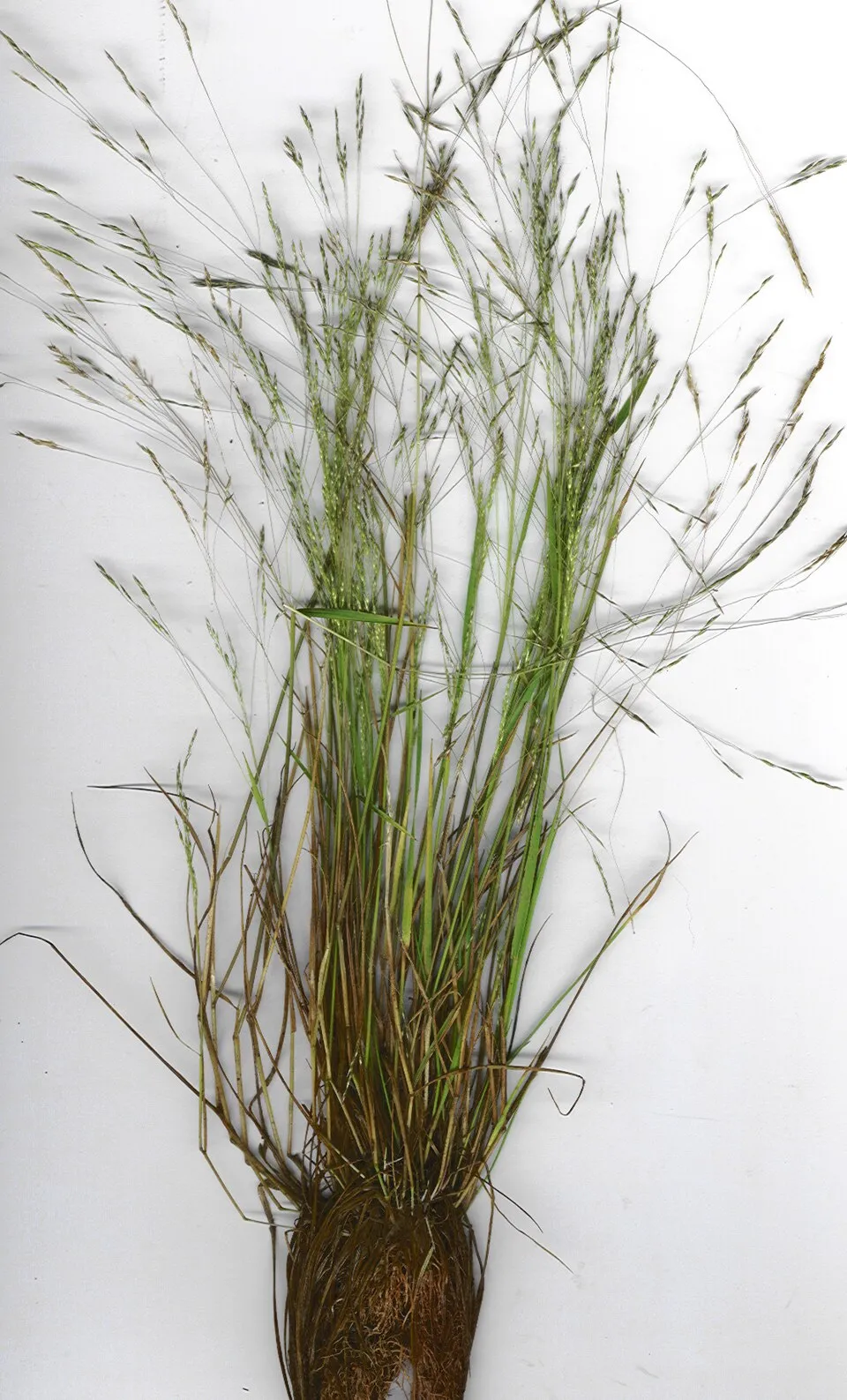 New Zealand wind grass
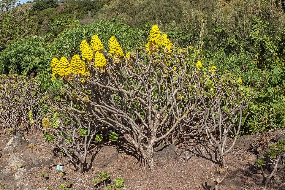 Tree roofleek
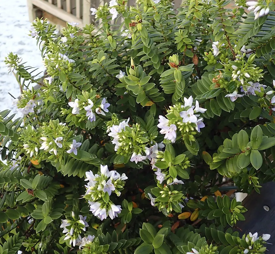 Native boxwood
Photos: Common Starling © PierreSelim · CC BY-SA 3.0; Australian Masked Owl © Benjamint444 · CC BY-SA 3.0; Tasmanian bluegum © John Tann from Sydney, Australia · CC BY 2.0; Yarrow © O. Pichard · CC BY-SA 3.0; Phytophthora Root Rot © Karel Černý · CC BY-SA 4.0; New Zealand wind grass © Forest and Kim Starr · CC BY 3.0; Tree roofleek © H. Zell · CC BY-SA 3.0; Native boxwood © Mike Dickison · CC BY 4.0
Sources: Global Forest Change (Hansen et al., University of Maryland, via Global Forest Watch, CC-BY 4.0); EFFIS, European Commission / Copernicus; NASA Black Marble 2016 (public domain); CORINE Land Cover 2018 (Copernicus) or MODIS.
Invasive alien species: Global Register of Introduced and Invasive Species (ISSG, CC BY 4.0); Union list, Regulation (EU) 1143/2014 (INBO, CC0); GBIF.org records (CC0 / CC BY 4.0), at least 2 per species.
6 public car parks listed within the site
2 waymarked routes listed, including:
Data © OpenStreetMap contributors (ODbL) · Wikidata (CC0)
37.9 km within the site ↗ 1,390 m↘ 1,292 m 14–491 m
up to T2 · mountain hiking
Tracks © OpenStreetMap contributors (ODbL), clipped to the boundary; elevation gain and profiles computed on the longest section from Mapzen Terrain Tiles (≈ 30 m), indicative only. Indicative difficulty (SAC scale, OpenStreetMap, via Waymarked Trails): check with the park.
The nearest railway station is Bush Mill Station site (15" gauge abandoned), about 3 km from the site boundary. Nearest towns of over 50,000 people, as the crow flies: Hobart (43 km). Nearest airport: Hobart (HBA), about 37 km away. Fewer than 5,000 people live within 20 km of the site boundary, a very sparsely populated area; some 90 people are estimated to live inside (GHSL estimate, 2020). Public car parks listed within the site: 6, including Remarkable Cave, Day Use Carpark and Boat ramp carpark. Waymarked hiking routes listed in OpenStreetMap: 2, including Three Capes Track. To plan a visit (access, opening periods, visitor rules), it is best to consult the official information from the managing body (Tasmania Parks and Wildlife Service) and the official website listed in this page's sources.
Source: OpenStreetMap (ODbL), Wikidata (CC0), November 2026.
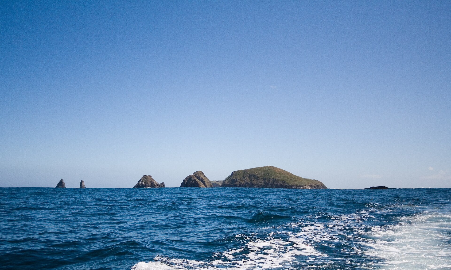
According to Wikidata, 2 monuments listed on Australian state heritage registers or the Commonwealth Heritage List stand within the boundary. Examples include “Tasman Island Lighthouse” in Tasmania.
and 1 more
Source: Wikidata (CC0), monuments in each country’s official heritage protection registers, at national or regional level. Each item links to its Wikidata entry.
The climate suits visits all year round. Day length ranges from about 9 h 02 min in June to 15 h 20 min in December. Wildlife records published on GBIF peak for birds (from September to December), plants (December and January), butterflies and moths (January) and mammals (December). These peaks also reflect when observers are most active.
Source: Copernicus ERA5-Land (C3S), monthly averages 1996–2025 at the representative point, temperatures adjusted for elevation.
Contains modified Copernicus Climate Change Service information 2026. Neither the European Commission nor ECMWF is responsible for any use that may be made of the Copernicus information or data it contains.
Monthly records published on GBIF (CC-BY), relative to the busiest month; also reflects observer activity.
Data © OpenStreetMap contributors (ODbL), Wikidata (CC0) and the sources cited.