Australia · Terrestrial
Walls of Jerusalem National Park
National park of 51,800 hectares in Australia, established in 1978.
Overview
National park of 51,800 hectares in Australia, established in 1978.
Walls of Jerusalem National Park is located in Australia (Oceania). It is a predominantly terrestrial area. Established on 13 December 1978, it covers about 51,800 hectares. The site is managed by Tasmania Parks and Wildlife Service.
Protections and designations
UNESCO World Heritage
Protected as a national park. International labels and designations: UNESCO World Heritage (“Tasmanian Wilderness”). Key dates: established in 1978 and World Heritage listing in 1982.
In our collections
Timeline
-
1978
Established
-
1982
Inscribed as a UNESCO World Heritage Site Tasmanian Wilderness
Sources: Wikidata (CC0) for establishment and international labels; EEA Natura 2000 database (CC-BY 4.0) for site designation dates.
Frequently asked questions
Where is Walls of Jerusalem National Park?
In Australia (Oceania). Representative point: 41.8689° S, 146.2590° E.
How large is Walls of Jerusalem National Park?
About 51,800 hectares (518 km²). It is the 105th largest of the 678 national parks in Australia covered by Parkavela.
When was Walls of Jerusalem National Park established?
On 13 December 1978.
What habitats and landscapes does Walls of Jerusalem National Park include?
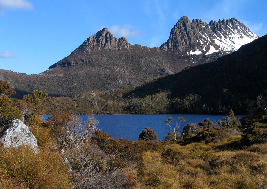
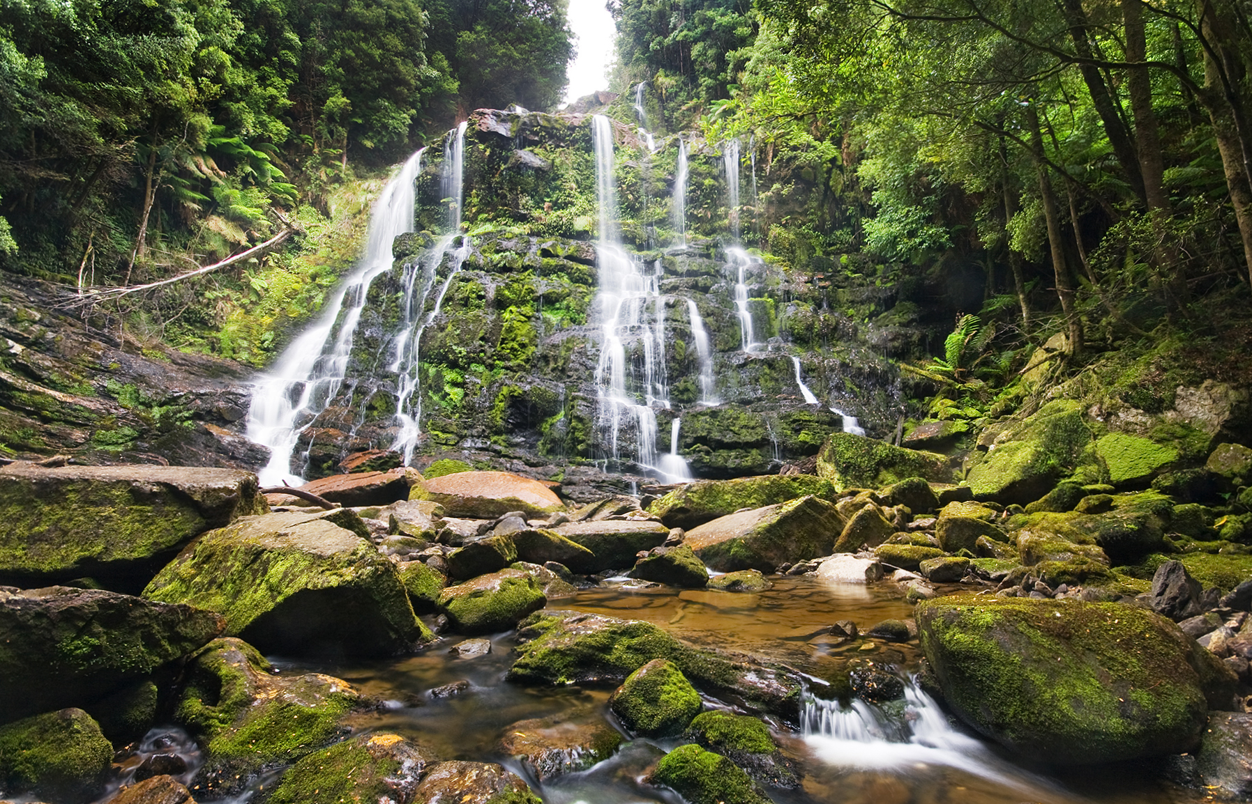
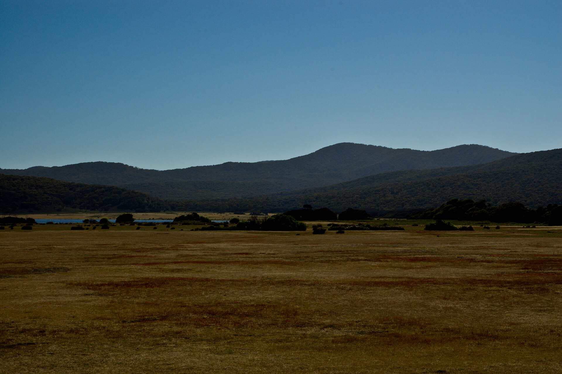
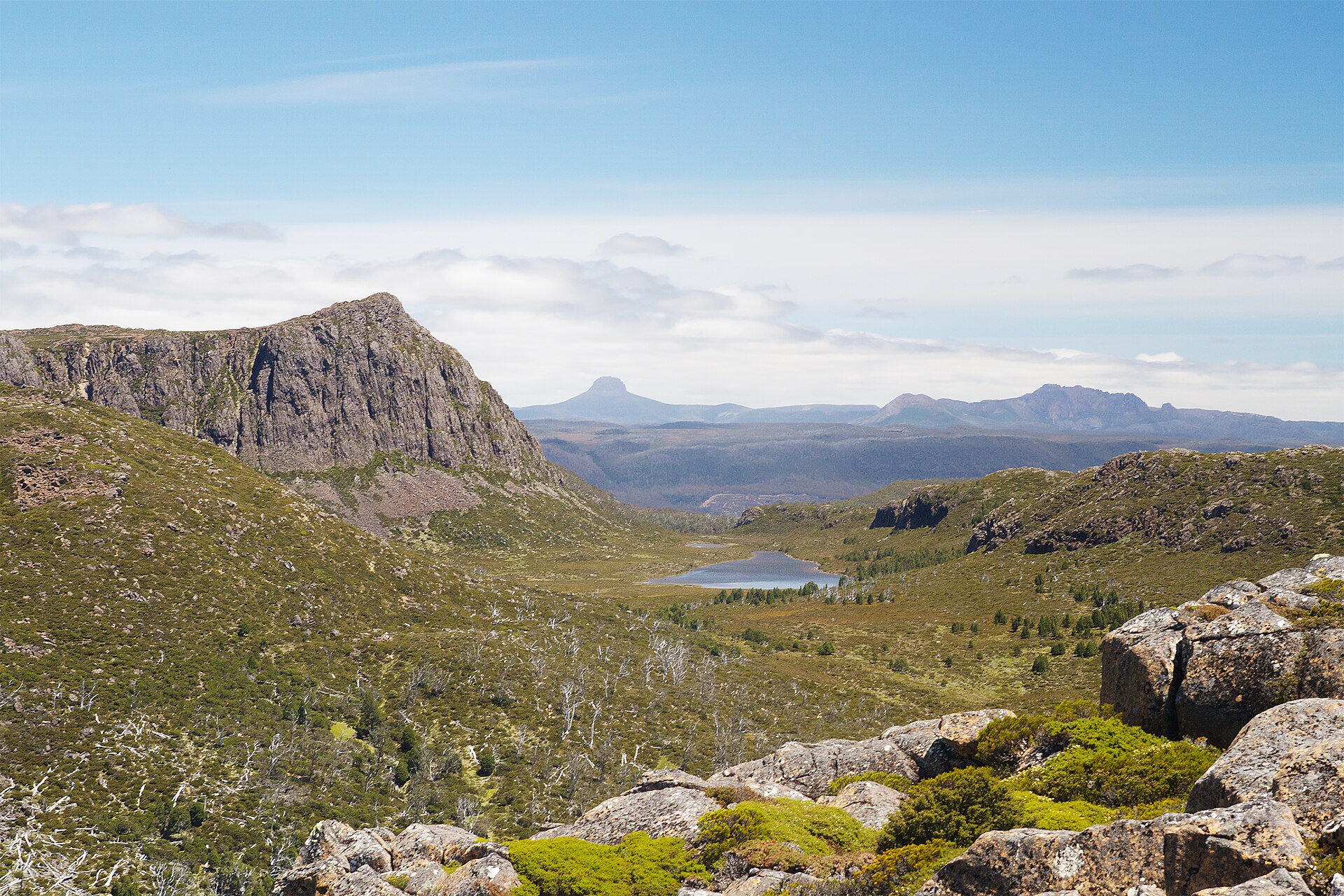
A terrestrial area, with forests and mountains.
What is the highest point of Walls of Jerusalem National Park?
King Davids Peak, at 1,499 m (OpenStreetMap).
What are the main summits of Walls of Jerusalem National Park?
King Davids Peak (1,499 m), Solomons Throne - Halls Buttress (1,460 m), Mount Jerusalem (1,459 m), The Temple (1,446 m) and Mersey Crag (1,420 m) (OpenStreetMap).
Which international labels apply to Walls of Jerusalem National Park?
UNESCO World Heritage (“Tasmanian Wilderness”).
When is the best time to visit Walls of Jerusalem National Park?
Best time to visit: January and February, with average temperatures of 11 to 12 °C and moderate rainfall.
Is there snow in Walls of Jerusalem National Park?
Yes. According to NASA's MODIS satellites (2015–2025 average), snow covers most of the site in July, with about 50 snow-covered days a year on average.
What is there to see in Walls of Jerusalem National Park?
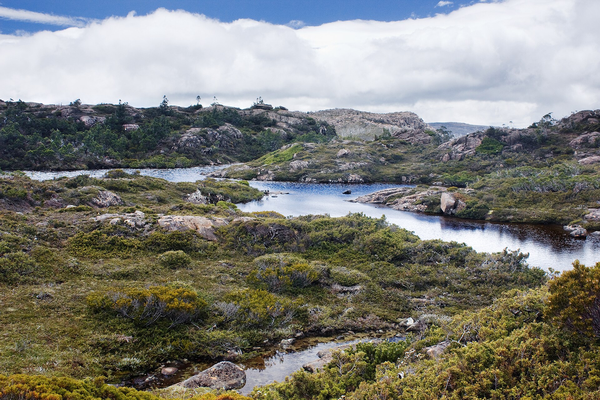
74 lakes and ponds, including Lake Meston (1,022 m), Penah Lake (1,180 m), Lake Toorah (1,188 m) and Three Arm Lake (1,116 m) (Wikidata).
What is the nearest large city to Walls of Jerusalem National Park?
Nearest towns of over 50,000 people, as the crow flies: Launceston (73 km). Nearest airport: Devonport (DPO), about 60 km away.
Where can I get visitor information on site?
Kia Ora Ranger Hut.
Which species can be seen in Walls of Jerusalem National Park?
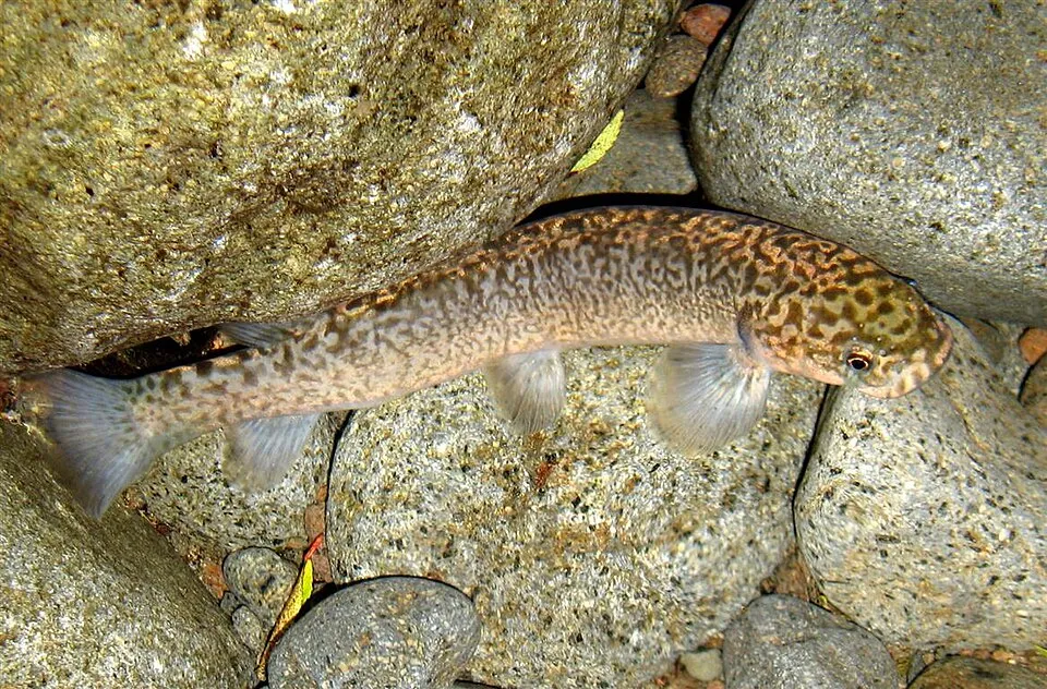
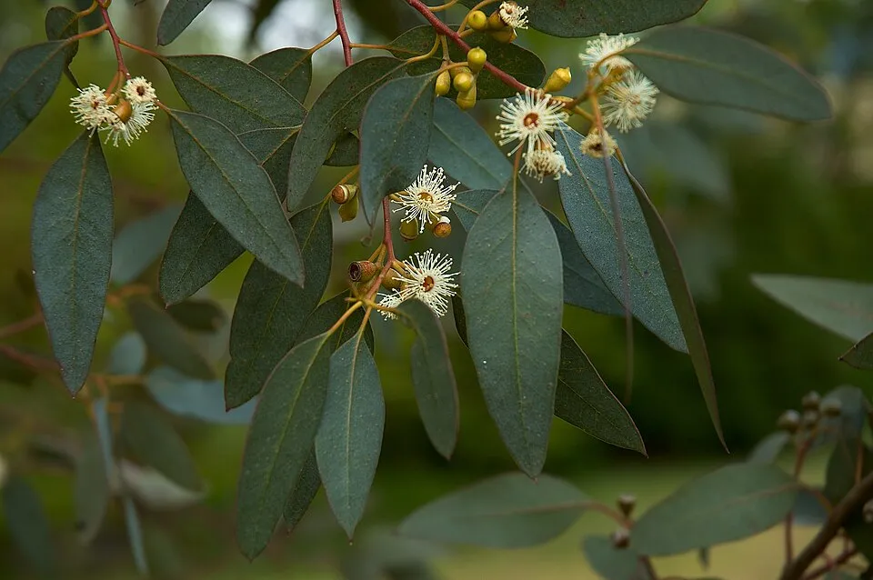
Among the species most often recorded on GBIF are Galaxias brevipinnis (Climbing galaxias), Eucalyptus gunnii (Cider gum), Strepera fuliginosa (Black Currawong) and Orites revolutus (Narrow-leaf orites).
Who manages Walls of Jerusalem National Park?
Tasmania Parks and Wildlife Service.
What is the official website of Walls of Jerusalem National Park?
© OpenStreetMap
Download the boundary: GeoJSON · GPX Boundary © OpenStreetMap contributors (ODbL).
Geography
The representative point of the site lies at around 1,055 m above sea level. Over the 1996–2025 period, the mean annual temperature is about 6.8 °C and total precipitation reaches roughly 1,365 mm per year. The warmest month is usually January, the coolest July, and the wettest August.
Area
- Area
- 51,800 ha
- Elevation
- 1,055 m
- Median elevation
- 1,141 m
- Mean slope
- 8°
- Snow cover
- ≈ 50 days a year
- Coordinates
- -41.8689, 146.259
Terrain: Mapzen Terrain Tiles (SRTM, USGS)
Elevation bands
- 500–1,000 m 9%
- 1,000–1,500 m 91%
share of the site in each elevation band (smoothed terrain model: summits are rounded off) · Terrain: Mapzen Terrain Tiles (SRTM, USGS)
Main summits
- King Davids Peak1,499 m
- Solomons Throne - Halls Buttress1,460 m
- Mount Jerusalem1,459 m
- The Temple1,446 m
- Mersey Crag1,420 m
- Twin Spires South1,398 m
- Zion Hill1,395 m
- Bishop Peak1,378 m
- Mount Moriah1,362 m
- Mount Ophel1,355 m
Data © OpenStreetMap contributors (ODbL)
Climate
● Mean temperature (°C) · ▮ Precipitation (mm)
Source: Copernicus ERA5-Land (C3S, doi:10.24381/cds.68d2bb30), monthly averages 1996–2025 interpolated to the representative point, temperatures adjusted for elevation.
Contains modified Copernicus Climate Change Service information 2026. Neither the European Commission nor ECMWF is responsible for any use that may be made of the Copernicus information or data it contains.
Snow cover measured by satellite
J
F
M
A
M
J
J
A
S
O
N
D
average share of the site under snow · snowiest parts · ≈ 50 days a year
Snow cover: MODIS/Terra MOD10CM v61 (Hall & Riggs, 2021, NASA NSIDC DAAC, doi:10.5067/MODIS/MOD10CM.061), imagery from NASA GIBS (ESDIS); 2015–2025 average, grid of about 5 km.
Natural habitats
According to the global MODIS land cover (NASA, 2024), the site is mainly made up of forests (73%) and heath and scrub (25%). Woodland is mostly coniferous. Elevation ranges from about 790 m to 1,499 m (highest point: King Davids Peak). Median elevation is 1,141 m, and 91% of the site lies above 1,000 m (SRTM elevation model).
Biodiversity
Based on occurrences aggregated by GBIF, several species are regularly recorded within the site. Among the most frequent are Galaxias brevipinnis (Climbing galaxias), Eucalyptus gunnii (Cider gum), Strepera fuliginosa (Black Currawong) and Orites revolutus (Narrow-leaf orites). The full list of documented taxa is shown below.
Species to look out for
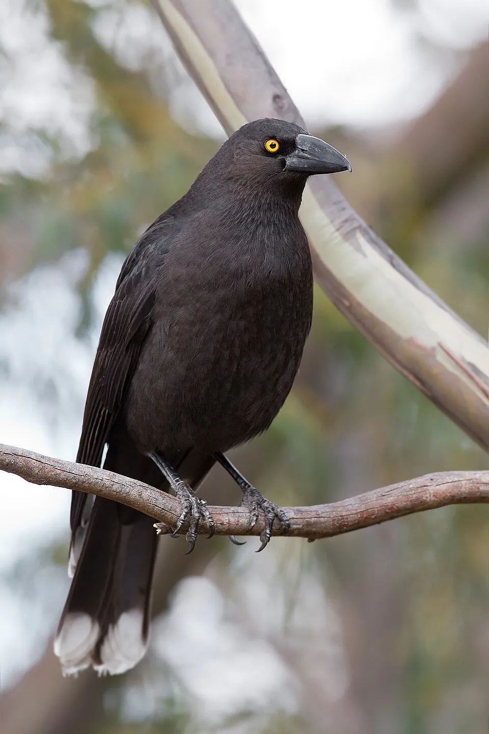
Bird
Black Currawong
Strepera fuliginosa65 records © JJ Harrison (https://www.jjharrison.com.au/) · CC BY-SA 3.0

Plant
Narrow-leaf orites
Orites revolutus62 records © JJ Harrison (https://www.jjharrison.com.au/) · CC BY-SA 3.0
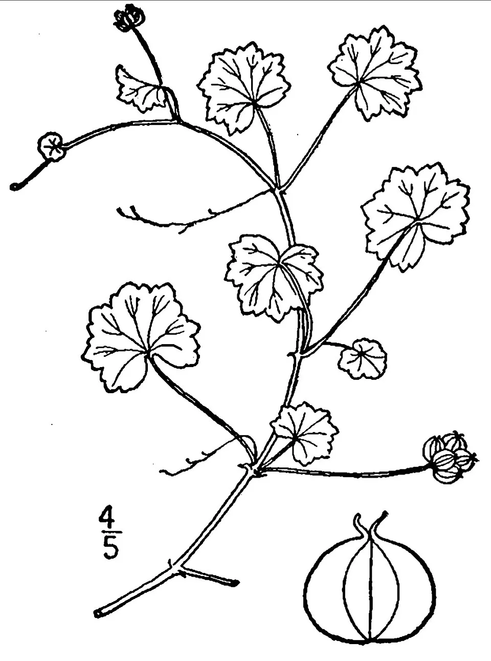
Plant
Lawn marshpennywort
Hydrocotyle sibthorpioidesObserved species
Occurrences documented via GBIF; they are neither an exhaustive inventory nor proof of current presence.
- Climbing galaxias · Galaxias brevipinnis · 123
- Cider gum · Eucalyptus gunnii · 98
- Black Currawong · Strepera fuliginosa · 65
- Narrow-leaf orites · Orites revolutus · 62
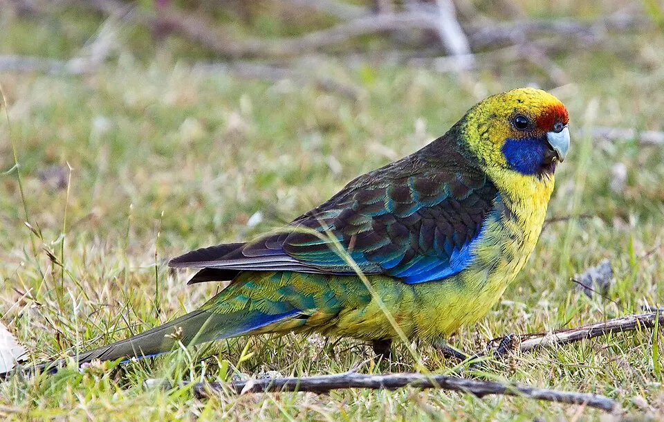
- Green Rosella · Platycercus caledonicus · 58
- Lawn marshpennywort · Hydrocotyle sibthorpioides · 58
- Gunn’s snowgrass · Poa gunnii · 52
- Brown Trout · Salmo trutta · 49
- Wire Rush · Empodisma minus · 48
- Spotted galaxias · Galaxias truttaceus · 47
- Yellow-throated Honeyeater · Nesoptilotis flavicollis · 45
- Forest Raven · Corvus tasmanicus · 42
+18 more species
- Crescent Honeyeater · Phylidonyris pyrrhopterus · 41
- Pencil Pine · Athrotaxis cupressoides · 41
- Mountain fireweed · Senecio gunnii · 40
- Snow beard-heath · Acrothamnus montanus · 40
- Tasmanian Scrubwren · Sericornis humilis · 39
- Yellow Wattlebird · Anthochaera paradoxa · 35
- Alpine Hovea · Hovea montana · 35
- Mountain raspberry · Rubus gunnianus · 35
- Carpet-heath · Pentachondra pumila · 35
- Scaly-buttons · Leptorhynchos squamatus · 34
- Tasmanian Thornbill · Acanthiza ewingii · 33
- Grey Shrikethrush · Colluricincla harmonica · 31
- Goodenia montana · 30
- Cotula alpina · 30
- Dracophyllum laciniatum · 28
- Mountain Club Moss · Austrolycopodium fastigiatum · 28
- Roccellinastrum flavescens · 27
- Grey Fantail · Rhipidura albiscapa · 25
Records: GBIF.org (CC-BY). Names: Wikidata (CC0), GBIF. Photos: Wikimedia Commons.
Conservation challenges
The primary purpose of the site is to preserve its natural habitats and the biodiversity they support. The species recorded (Biodiversity tab) reflect its ecological value. The designations it holds frame its management and the control of land use.
According to Global Forest Change data (University of Maryland, Global Forest Watch), about 646 ha of tree cover were lost within the boundary between 2001 and 2023 (1% of its area), peaking in 2016 and 2019. These losses include logging, storms and fires, and do not account for regrowth. At night, the area gives off virtually no artificial light detectable from space (NASA VIIRS Black Marble composite, 2016).
Pressure indicators
Tree cover lost
646 ha
2001–2023 · 1% of the area
20012023
Light at night
0%
of the area gives off artificial light visible from space
DarkLit
Sources: Global Forest Change (Hansen et al., University of Maryland, via Global Forest Watch, CC-BY 4.0); EFFIS, European Commission / Copernicus; NASA Black Marble 2016 (public domain); CORINE Land Cover 2018 (Copernicus) or MODIS.
Practical information
Cities and airport
- Launceston
73 km as the crow flies - Airport: Devonport (DPO)
60 km as the crow flies
Visitor information
- Kia Ora Ranger Hut
2 km from the site boundary
Things to see
74 lakes and ponds
- Lake Meston
lake or pond · 1,022 m - Penah Lake
lake or pond · 1,180 m - Lake Toorah
lake or pond · 1,188 m - Three Arm Lake
lake or pond · 1,116 m - Travellers Rest Lake
lake or pond · 949 m
Data © OpenStreetMap contributors (ODbL) · Wikidata (CC0)
Access and visiting
Nearest towns of over 50,000 people, as the crow flies: Launceston (73 km). Nearest airport: Devonport (DPO), about 60 km away. Fewer than 5,000 people live within 20 km of the site boundary, a very sparsely populated area; the site itself is virtually uninhabited (GHSL estimate, 2020). Visitor information on site: Kia Ora Ranger Hut. To see: 74 lakes and ponds, including Lake Meston (1,022 m), Penah Lake (1,180 m), Lake Toorah (1,188 m) and Three Arm Lake (1,116 m). To plan a visit (access, opening periods, visitor rules), it is best to consult the official information from the managing body (Tasmania Parks and Wildlife Service) and the official website listed in this page's sources.
Source: OpenStreetMap (ODbL), Wikidata (CC0), November 2026.
When to visit
Best time to visit: January and February, with average temperatures of 11 to 12 °C and moderate rainfall. Precipitation peaks in August and September (up to 170 mm per month). These averages apply to the site's representative point (1,055 m); higher up it is markedly cooler. According to NASA's MODIS satellites (2015–2025 average), snow covers most of the site in July, with about 50 snow-covered days a year on average. Day length ranges from about 9 h 09 min in June to 15 h 12 min in December. Wildlife records published on GBIF peak for birds (January), plants (December and January) and mammals (January and February). These peaks also reflect when observers are most active.
Source: Copernicus ERA5-Land (C3S), monthly averages 1996–2025 at the representative point, temperatures adjusted for elevation.
Contains modified Copernicus Climate Change Service information 2026. Neither the European Commission nor ECMWF is responsible for any use that may be made of the Copernicus information or data it contains.
Wildlife records calendar
JFMAMJJASOND
Birds
Plants
Mammals
Monthly records published on GBIF (CC-BY), relative to the busiest month; also reflects observer activity.
Gallery
© JJ Harrison (https://www.jjharrison.com.au/) · CC BY-SA 3.0
© JJ Harrison (https://www.jjharrison.com.au/) · CC BY-SA 3.0
© Geoff Derrin · CC BY-SA 4.0
© Stefan Karpiniec · CC BY 2.0
© Luke Mitchell Cooper · CC BY-SA 4.0
© JJ Harrison (https://www.jjharrison.com.au/) · CC BY-SA 3.0
Sources and licences
- Wikidata: Q385655
- OpenStreetMap: relation 3005118
- Official website: https://www.parks.tas.gov.au/index.aspx?base=3904
- Wikipedia: en.wikipedia.org/wiki/Walls_of_Jerusalem_National_Park
- WDPA: 309715
References
- cds.climate.copernicus.eu: climate · CC-BY-4.0
- registry.opendata.aws: elevation of the reference point, detailed relief · PD
- lpdaac.usgs.gov: land cover · PD
- doi.org: population around the site · CC-BY-4.0
- naturalearthdata.com: sea share · PD
- wikidata.org: official area, highest point, establishment date, protected heritage, managing body, nearby cities and airport, access and peaks, lake depths, places to see, official website · CC0-1.0
- en.eurovelo.com: EuroVelo cycle routes · ODbL-1.0
- cycling.waymarkedtrails.org: cycle routes · ODbL-1.0
- opentopodata.org: elevations · PD
- globalforestwatch.org: tree cover loss · CC-BY-4.0
- gbif.org: seasonality of sightings, invasive alien species, observed species · CC-BY-4.0
- openstreetmap.org: official name, access and peaks · ODbL-1.0
- earthobservatory.nasa.gov: night light · PD
- nsidc.org: snow cover · PD
- wikidata.org: Wikipedia article · CC-BY-SA-4.0
Data © OpenStreetMap contributors (ODbL), Wikidata (CC0) and the sources cited.