
Australia · Terrestrial
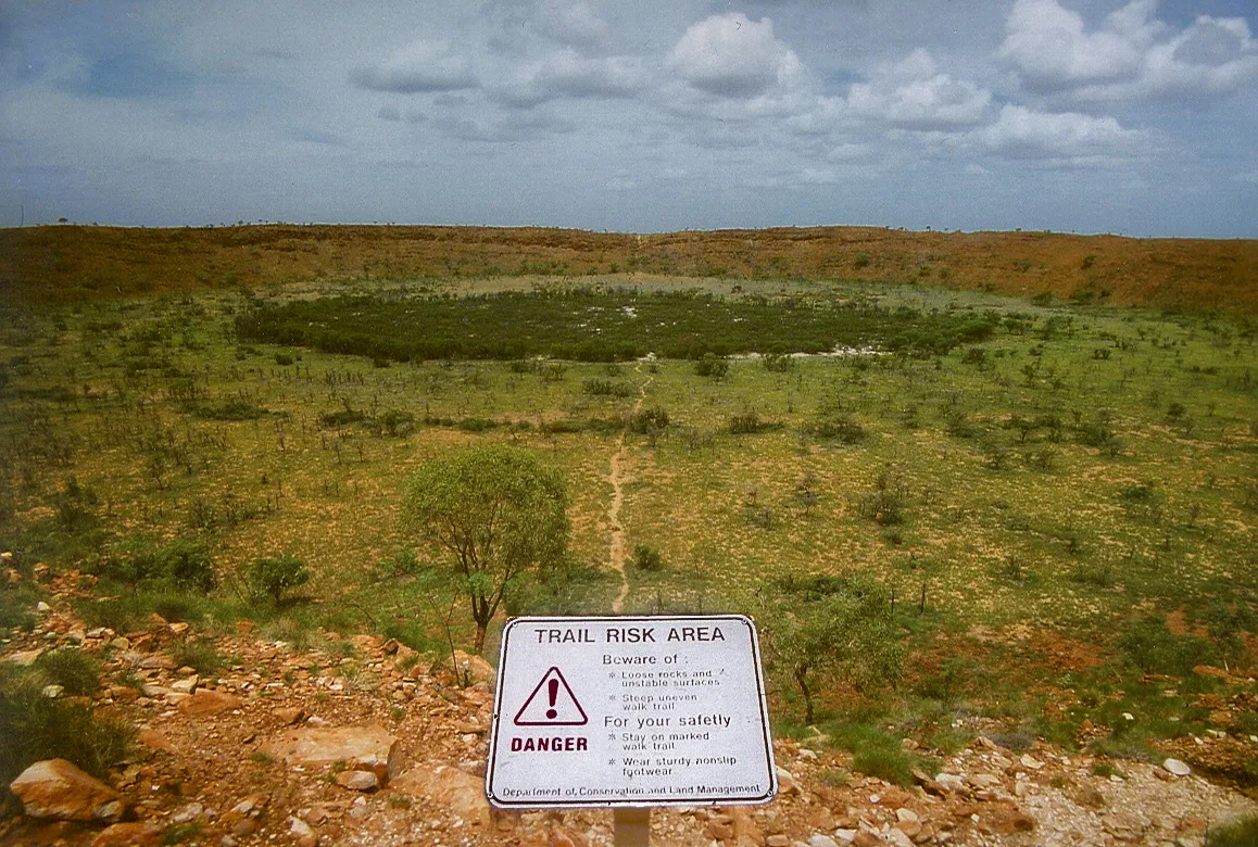
Wolfe Creek Meteorite Crater National Park
National park of 1,455 hectares in Australia, established in 1969.
Overview
National park of 1,455 hectares in Australia, established in 1969.
Wolfe Creek Meteorite Crater National Park is located in Australia (Oceania). It is a predominantly terrestrial area. Established in 1969, it covers about 1,455 hectares. The site is managed by Department of Parks and Wildlife.
In our collections
Frequently asked questions
Where is Wolfe Creek Meteorite Crater National Park?
In Australia (Oceania). Representative point: 19.1736° S, 127.7944° E.
How large is Wolfe Creek Meteorite Crater National Park?
About 1,455 hectares (15 km²). It is the 527th largest of the 678 national parks in Australia covered by Parkavela.
When was Wolfe Creek Meteorite Crater National Park established?
In 1969.
What habitats and landscapes does Wolfe Creek Meteorite Crater National Park include?
A terrestrial area, where land cover is dominated by heath and scrub (100%).
When is the best time to visit Wolfe Creek Meteorite Crater National Park?
Best time to visit: the dry season, from June to September, with less than 10 mm of rain per month.
Which species can be seen in Wolfe Creek Meteorite Crater National Park?
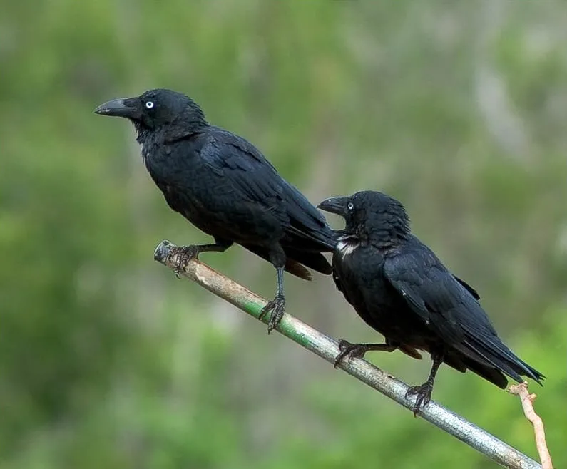
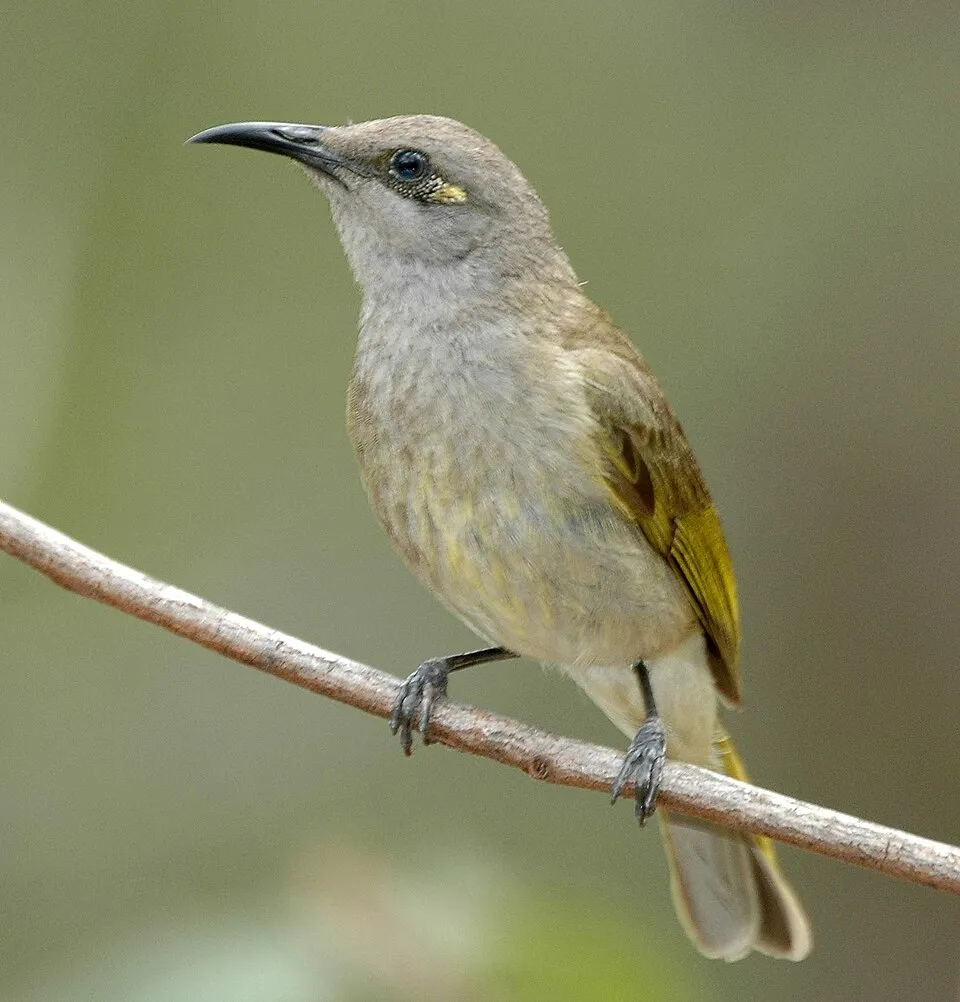
Among the species most often recorded on GBIF are Manorina flavigula (Yellow-throated Miner), Ctenophorus isolepis (Military Sand-dragon), Corvus orru (Torresian Crow) and Lichmera indistincta (Brown Honeyeater).
Who manages Wolfe Creek Meteorite Crater National Park?
Department of Parks and Wildlife.
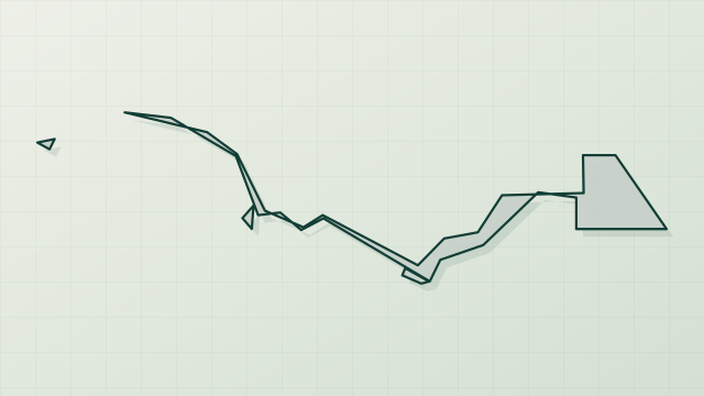
© OpenStreetMap
Download the boundary: GeoJSON · GPX Boundary © OpenStreetMap contributors (ODbL).
Geography
The representative point of the site lies at around 328 m above sea level. Over the 1996–2025 period, the mean annual temperature is about 27.6 °C and total precipitation reaches roughly 430 mm per year. The warmest month is usually November, the coolest July, and the wettest January.
Area
- Area
- 1,455 ha
- Elevation
- 328 m
- Coordinates
- -19.1736, 127.7944
Climate
● Mean temperature (°C) · ▮ Precipitation (mm)
Source: Copernicus ERA5-Land (C3S, doi:10.24381/cds.68d2bb30), monthly averages 1996–2025 interpolated to the representative point, temperatures adjusted for elevation.
Contains modified Copernicus Climate Change Service information 2026. Neither the European Commission nor ECMWF is responsible for any use that may be made of the Copernicus information or data it contains.
Natural habitats
According to the global MODIS land cover (NASA, 2024), the site is mainly made up of heath and scrub (100%). The land is almost flat (mean slope under 2°).
Biodiversity
Based on occurrences aggregated by GBIF, several species are regularly recorded within the site. Among the most frequent are Manorina flavigula (Yellow-throated Miner), Ctenophorus isolepis (Military Sand-dragon), Corvus orru (Torresian Crow) and Lichmera indistincta (Brown Honeyeater). The full list of documented taxa is shown below.
Species to look out for
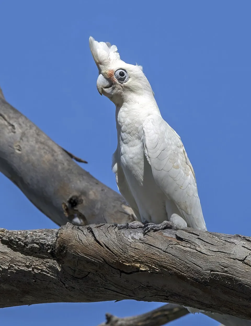
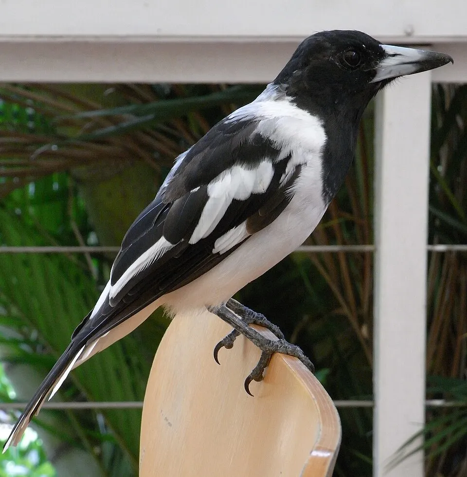
Observed species
Occurrences documented via GBIF; they are neither an exhaustive inventory nor proof of current presence.
- Yellow-throated Miner · Manorina flavigula · 26
- Military Sand-dragon · Ctenophorus isolepis · 22
- Torresian Crow · Corvus orru · 21
- Brown Honeyeater · Lichmera indistincta · 19
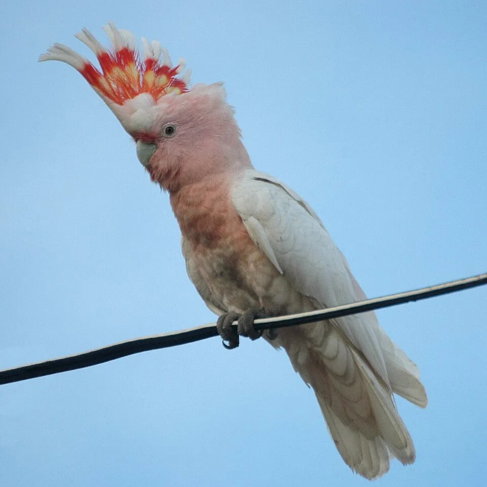
- Pink Cockatoo · Cacatua leadbeateri · 17
- Little Corella · Cacatua sanguinea · 15
- Pied Butcherbird · Cracticus nigrogularis · 15
- Acacia · Acacia ampliceps · 15
- Budgerigar · Melopsittacus undulatus · 13
- Magpie-lark · Grallina cyanoleuca · 13
- Sandhill Tea-tree · Melaleuca lasiandra · 13
- Grey Whorled Wattle · Acacia adoxa · 12
+18 more species
- Slater's Dragon · Ctenophorus slateri · 11
- Galah · Eolophus roseicapilla · 11
- Australian Ringneck · Barnardius zonarius · 11
- Nankeen Kestrel · Falco cenchroides · 10
- Crested Pigeon · Ocyphaps lophotes · 10
- Diamond Dove · Geopelia cuneata · 10
- Sunda Zebra Finch · Taeniopygia guttata · 9
- Jacksonia aculeata · 9
- Gymnema erectum · 8
- Red-winged Parrot · Aprosmictus erythropterus · 8
- Cockatiel · Nymphicus hollandicus · 8
- Cheilanthes brownii · 8
- White-winged Triller · Lalage tricolor · 8
- Caustic bush · Grevillea pyramidalis · 8
- White-plumed Honeyeater · Ptilotula penicillata · 8
- Rainbow Bee-eater · Merops ornatus · 7
- Australian Magpie · Gymnorhina tibicen · 7
- Grey-headed Honeyeater · Ptilotula keartlandi · 7
Records: GBIF.org (CC-BY). Names: Wikidata (CC0), GBIF. Photos: Wikimedia Commons.
Conservation challenges
The primary purpose of the site is to preserve its natural habitats and the biodiversity they support. The species recorded (Biodiversity tab) reflect its ecological value. Its status as a national park sets the regulatory framework for its protection.
At night, the area gives off virtually no artificial light detectable from space (NASA VIIRS Black Marble composite, 2016).
Pressure indicators
Light at night
0%
of the area gives off artificial light visible from space
DarkLit
Sources: Global Forest Change (Hansen et al., University of Maryland, via Global Forest Watch, CC-BY 4.0); EFFIS, European Commission / Copernicus; NASA Black Marble 2016 (public domain); CORINE Land Cover 2018 (Copernicus) or MODIS.
Practical information
Parking
1 public car parks listed within the site
Data © OpenStreetMap contributors (ODbL)
Access and visiting
Public car parks listed within the site: 1. To plan a visit (access, opening periods, visitor rules), it is best to consult the official information from the managing body (Department of Parks and Wildlife) and the official website listed in this page's sources.
Source: OpenStreetMap (ODbL), Wikidata (CC0), November 2026.
When to visit
Best time to visit: the dry season, from June to September, with less than 10 mm of rain per month. Precipitation peaks from December to March (up to 110 mm per month). Day length ranges from about 10 h 59 min in June to 13 h 17 min in December. Wildlife records published on GBIF peak for birds (July and August) and plants (April). These peaks also reflect when observers are most active.
Source: Copernicus ERA5-Land (C3S), monthly averages 1996–2025 at the representative point, temperatures adjusted for elevation.
Contains modified Copernicus Climate Change Service information 2026. Neither the European Commission nor ECMWF is responsible for any use that may be made of the Copernicus information or data it contains.
Wildlife records calendar
JFMAMJJASOND
Birds
Plants
Monthly records published on GBIF (CC-BY), relative to the busiest month; also reflects observer activity.
Gallery
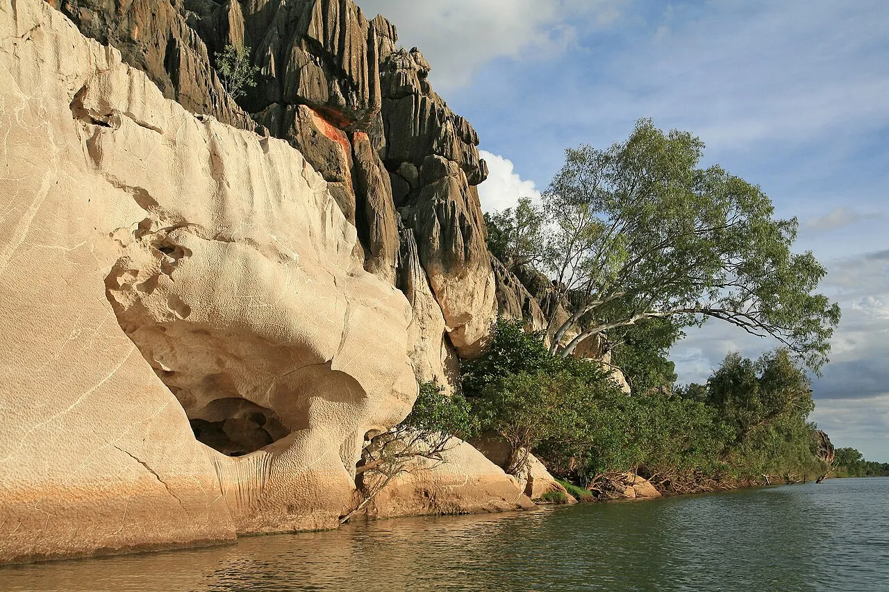
© Keraunoscopia · Public domain
© Whinqinq Pom · CC BY-SA 2.0
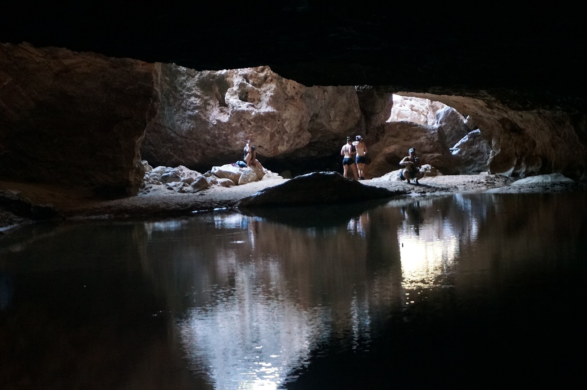
© TerryT2 · CC BY-SA 4.0
© MissMegido · CC BY-SA 4.0
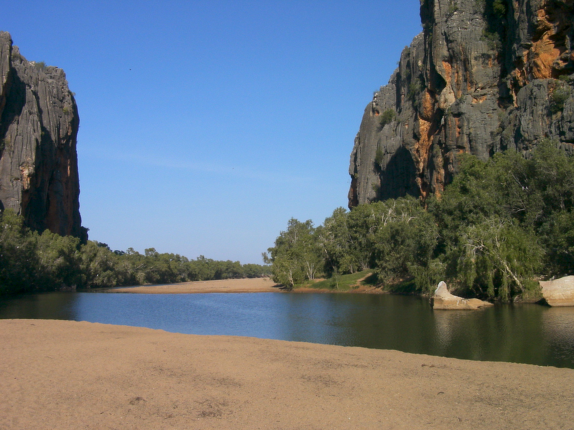
© MissMegido · CC BY-SA 4.0
© JAMO B · CC BY-SA 4.0
Sources and licences
- Wikidata: Q2109503
- Wikipedia: en.wikipedia.org/wiki/Wolfe_Creek_Meteorite_Crater_National_Park
- WDPA: 63996
References
- cds.climate.copernicus.eu: climate · CC-BY-4.0
- registry.opendata.aws: elevation of the reference point, detailed relief · PD
- lpdaac.usgs.gov: land cover · PD
- doi.org: population around the site · CC-BY-4.0
- naturalearthdata.com: sea share · PD
- wikidata.org: official area, establishment date, protected heritage, managing body, official name, nearby cities and airport, access and peaks, lake depths, places to see · CC0-1.0
- en.eurovelo.com: EuroVelo cycle routes · ODbL-1.0
- cycling.waymarkedtrails.org: cycle routes · ODbL-1.0
- opentopodata.org: elevations · PD
- globalforestwatch.org: tree cover loss · CC-BY-4.0
- gbif.org: seasonality of sightings, invasive alien species, observed species · CC-BY-4.0
- earthobservatory.nasa.gov: night light · PD
- openstreetmap.org: access and peaks · ODbL-1.0
- nsidc.org: snow cover · PD
- wikidata.org: Wikipedia article · CC-BY-SA-4.0
Data © OpenStreetMap contributors (ODbL), Wikidata (CC0) and the sources cited.