
Plant
Broad buckler-fern: where to see it
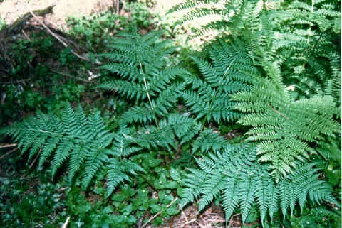
Dryopteris dilatata
This plant species is recorded in 11 protected areas of the atlas. Within the atlas countries, it is mostly observed in the United Kingdom, France and the Netherlands (12 countries in all). Most records (8 in 10) lie between 380 and 1,450 m above sea level. Records peak from May to September. Perennial plant, native to Europe, Africa and temperate Asia, introduced to Australasia, South and Central America and Antarctica.
Best time to see it: May–September
Records published on GBIF by month (CC0 and CC BY 4.0 licences only), in the atlas countries, all years combined; they also reflect observer activity.
Distribution
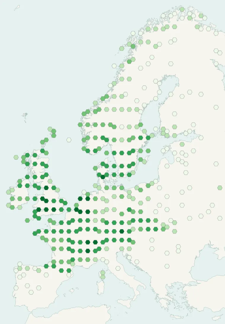
Records published on GBIF (CC0 and CC BY 4.0 licences): the darker the shade, the more records there are; they also reflect observation effort.
From Wikipedia
Dryopteris dilatata, the broad buckler-fern, is a robust species of deciduous or semievergreen fern in the family Dryopteridaceae, native to Europe, particularly western and central Europe. In southern Europe, it is mostly found in mountainous regions. It is also found between the Black Sea and the Caspian Sea. It grows to 90 cm (35 in) tall by 120 cm (47 in) wide, with dark green tripinnate fronds, the ribs covered in brown scales. The Latin specific epithet dilatata means "spread out". The species and the cultivars 'Crispa Whiteside' and 'Lepidota Cristata'
Source: Wikipedia, article “Dryopteris dilatata” (version of May 19, 2026) · history and authors · licence CC BY-SA 4.0 · shortened excerpt
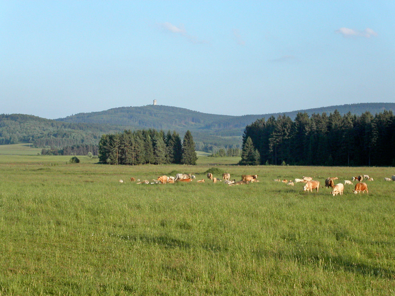
Protected areas where it is recorded
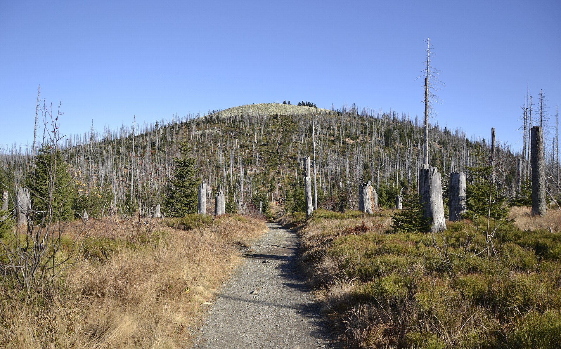
2,247 records
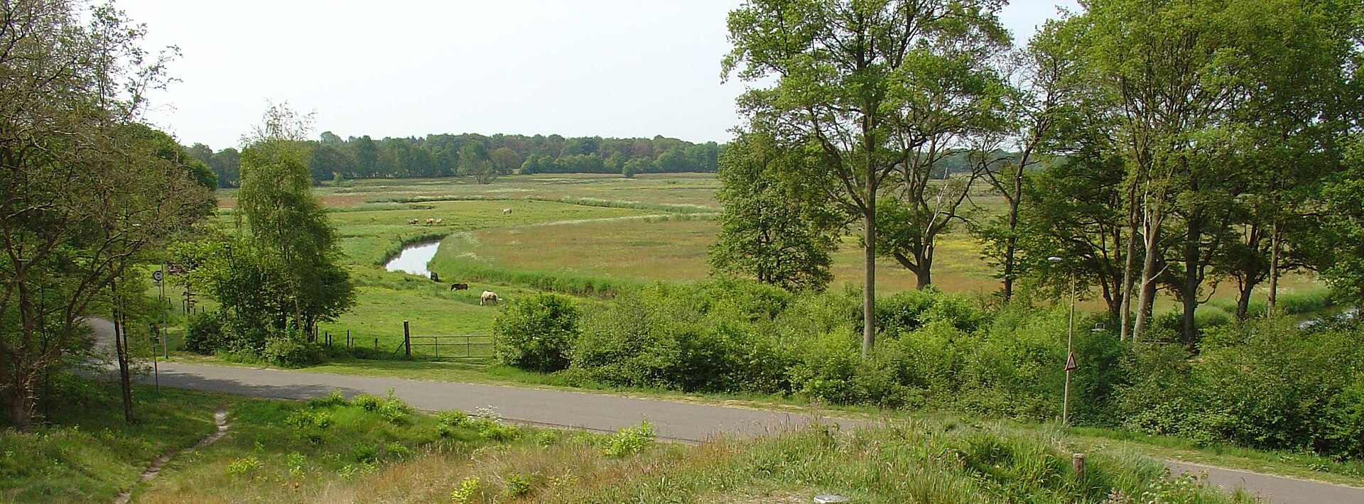
1,741 records
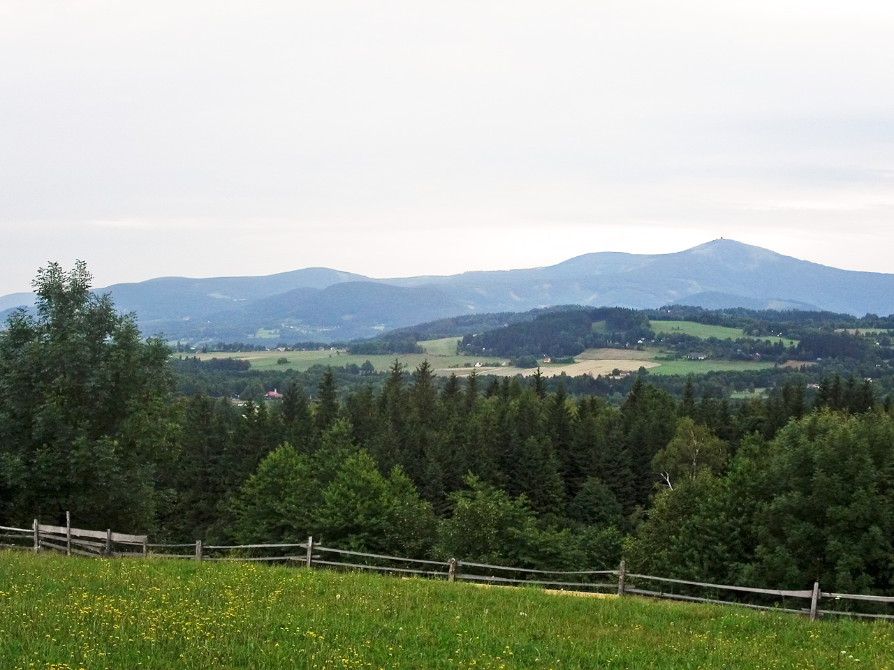
776 records
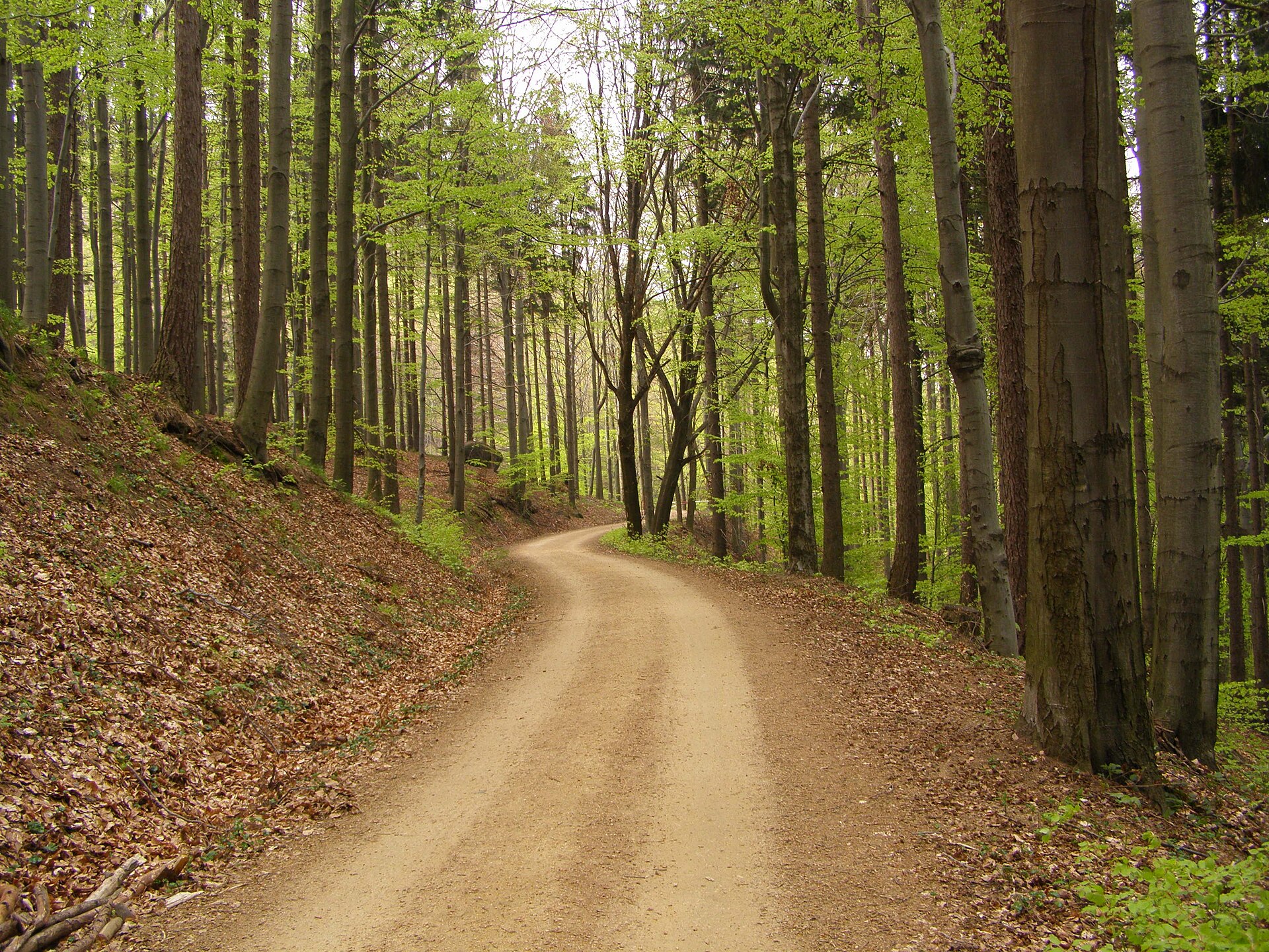
614 records
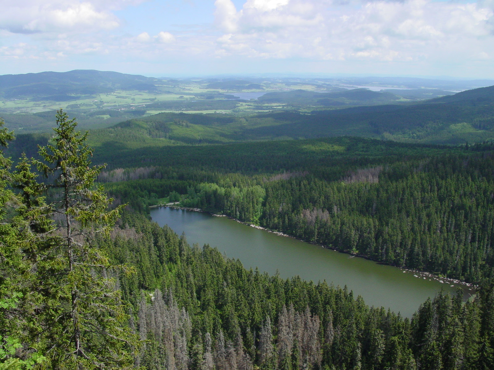
568 records
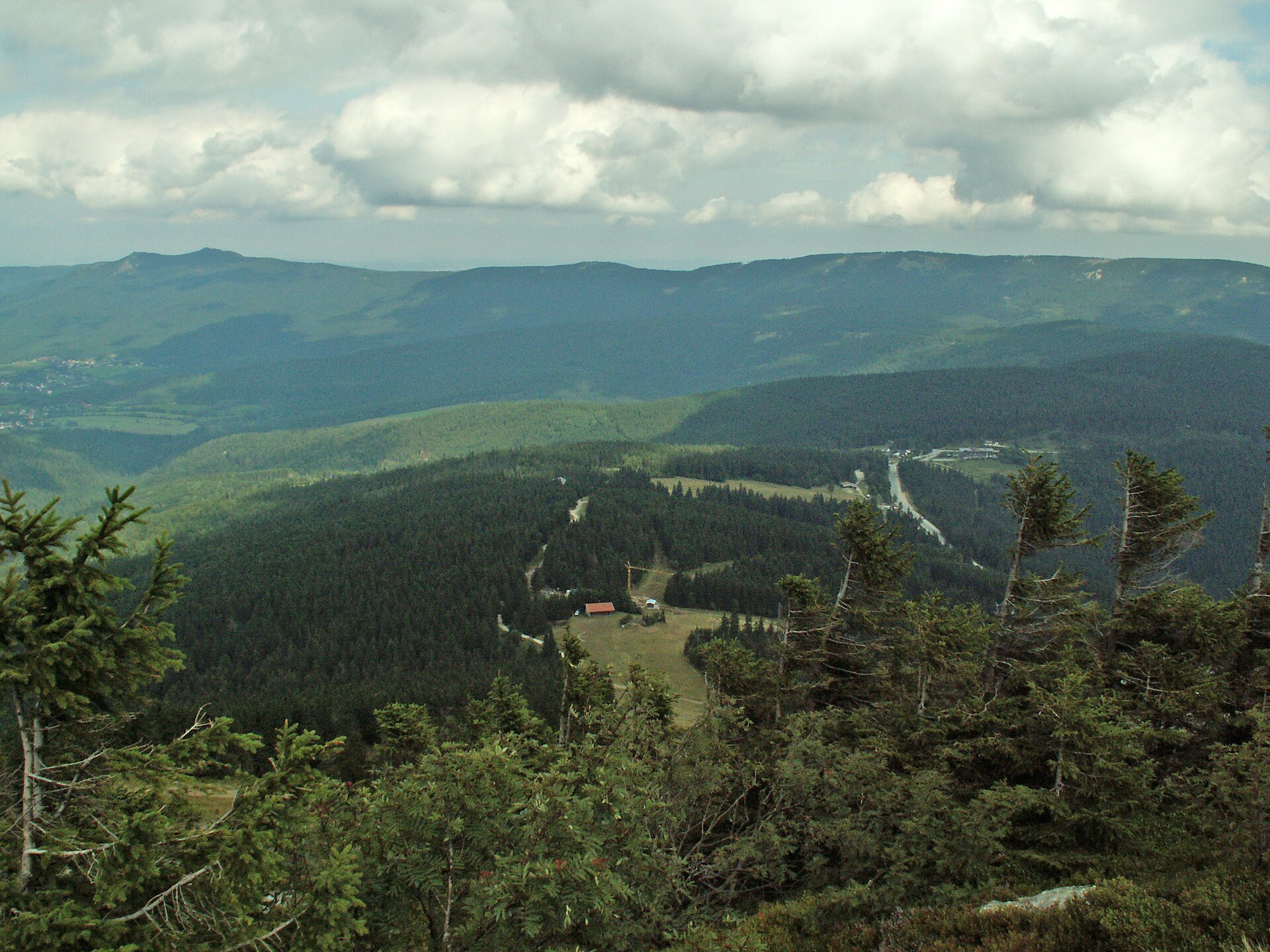
474 records
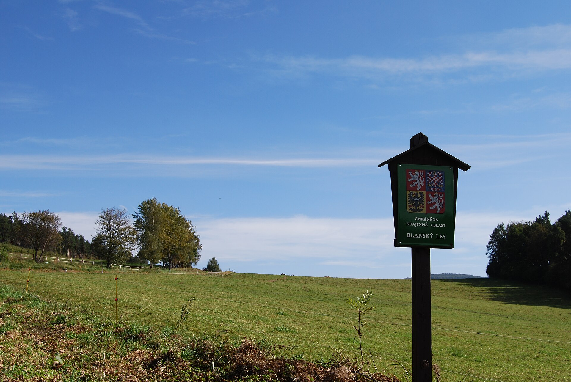
184 records
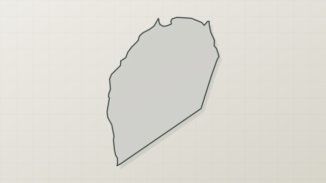
125 records
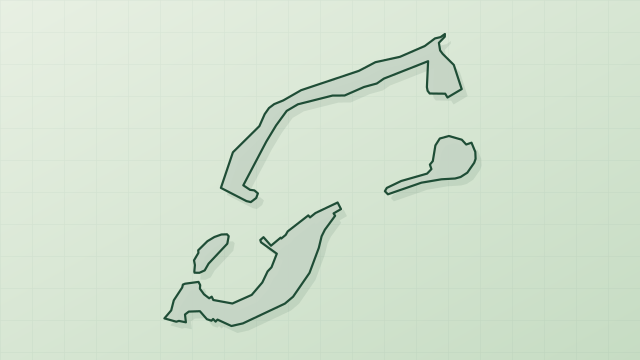
35 records
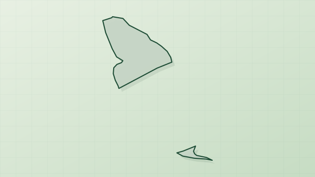
4 records
1 records
Other species to discover


Sources and credits
- Presence: most-recorded species of each place on GBIF and species of Community interest in the Natura 2000 forms (EEA, CC-BY 4.0); absence from the list does not mean the species is absent.
- Common names: Wikidata (CC0) and GBIF.
- Photos and sounds: Wikimedia Commons, author and licence given for each file.
- Classification: GBIF Backbone Taxonomy (GBIF Secretariat), CC BY 4.0, doi:10.15468/39omei.
- Countries, elevations, months and maps: GBIF.org, CC0 or CC BY 4.0 occurrences only, accessed October 22, 2026, GBIF.org.
- Base map: Natural Earth (public domain).
- Excerpt: Wikipedia, CC BY-SA 4.0 (full credit below the excerpt).
- Native range and life form: World Checklist of Vascular Plants, Royal Botanic Gardens, Kew, CC BY 4.0 (no endorsement by Kew).