Czechia · Terrestrial
Šumava Protected Landscape Area
Protected landscape area of 99,521 hectares in Czechia, established in 1963.
Overview
Protected landscape area of 99,521 hectares in Czechia, established in 1963.
Šumava Protected Landscape Area is located in Czechia (Europe). It is a predominantly terrestrial area. Established on 27 December 1963, it covers about 99,521 hectares.
Protections and designations
UNESCO Biosphere Reserve
Ramsar site
Designated as a protected landscape area. International labels and designations: UNESCO Biosphere Reserve (“Šumava Biosphere Reserve”), Ramsar site (“Šumavská rašeliniště”) and Natura 2000 network (4 sites). Key dates: established in 1963, Biosphere Reserve in 1990, Ramsar Site in 1990, first Natura 2000 site under the Birds Directive in 2004 and first Natura 2000 site under the Habitats Directive in 2008.
In our collections
Timeline
-
1963
Established
-
1990
UNESCO Biosphere Reserve Šumava Biosphere Reserve
-
1990
Ramsar Site (wetland of international importance) Šumavská rašeliniště
-
2004
First Natura 2000 site under the Birds Directive 2 such sites designated up to 2005
-
2008
First Natura 2000 site under the Habitats Directive 2 such sites designated up to 2012
Sources: Wikidata (CC0) for establishment and international labels; EEA Natura 2000 database (CC-BY 4.0) for site designation dates.
Frequently asked questions
Where is Šumava Protected Landscape Area?
In Czechia (Europe). Representative point: 48.9840° N, 13.8450° E.
How large is Šumava Protected Landscape Area?
About 99,521 hectares (995 km²). It is the 3rd largest of the 27 protected landscape areas in Czechia covered by Parkavela.
When was Šumava Protected Landscape Area established?
On 27 December 1963.
What habitats and landscapes does Šumava Protected Landscape Area include?
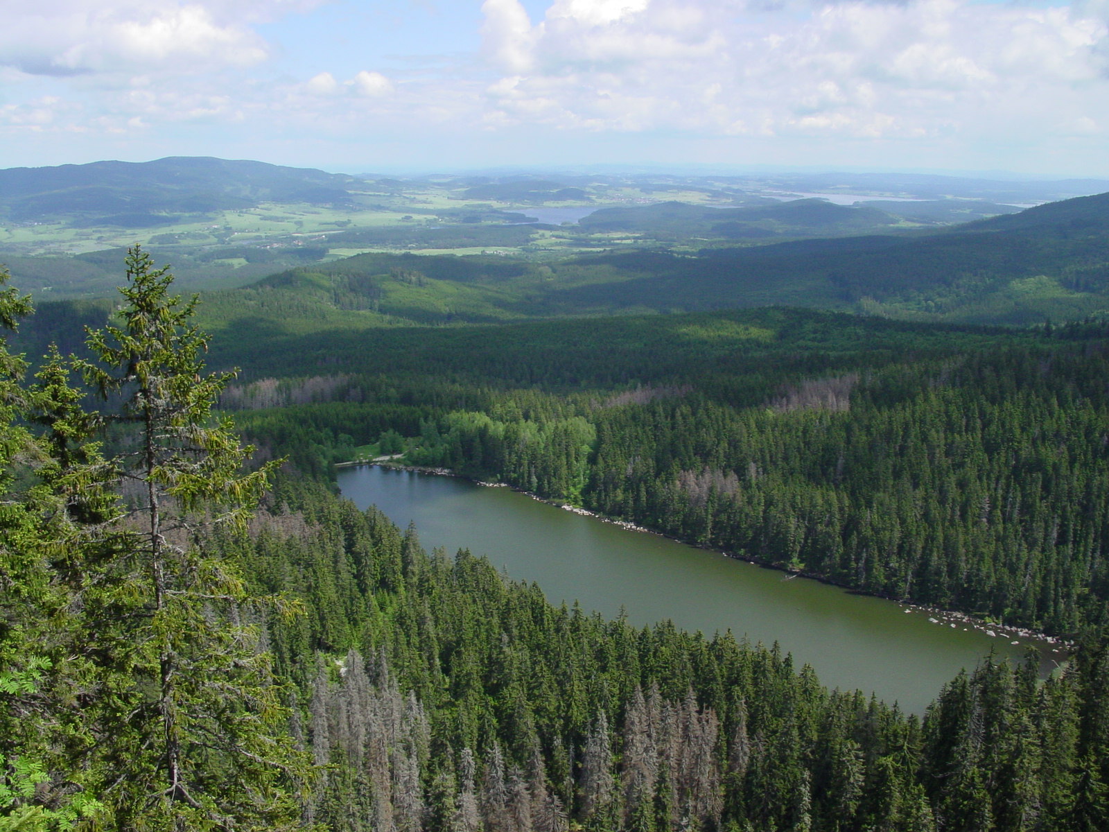
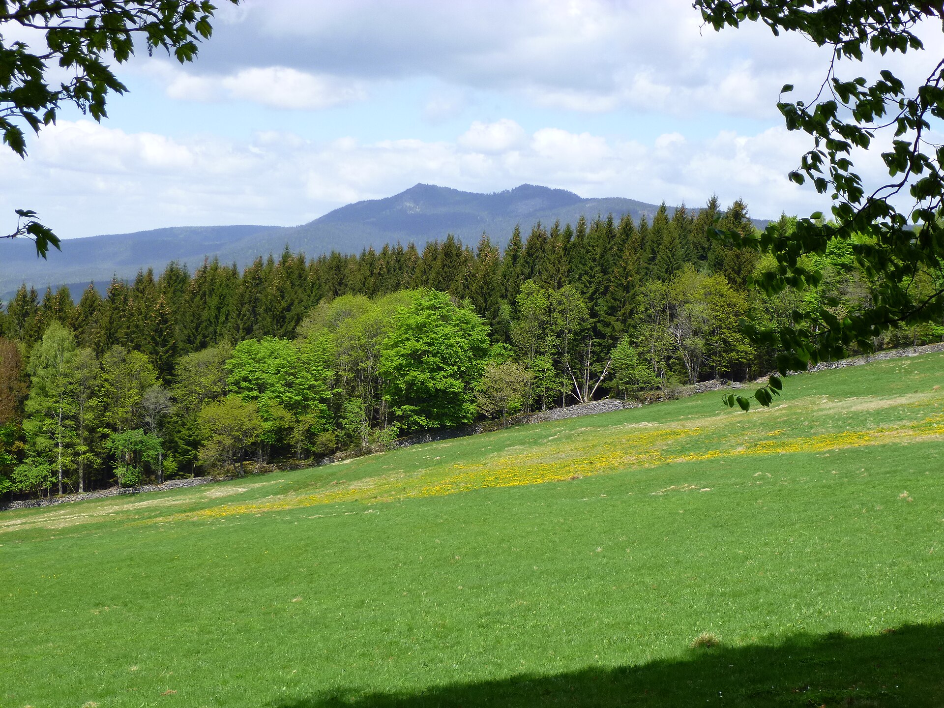
A terrestrial area, with forests and mountains.
What rocks lie beneath Šumava Protected Landscape Area?
According to the European 1:1 million geological map (EGDI), the bedrock consists mainly of gneiss (71% of sampled points). These are mostly metamorphic rocks. The geological units date mainly from the Paleozoic (71% of sampled points).
What is the highest point of Šumava Protected Landscape Area?
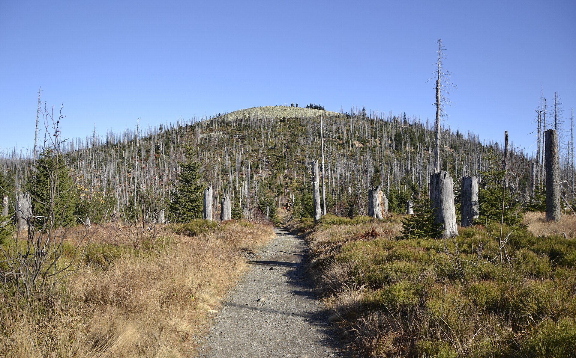
Boubín, at 1,362 m (OpenStreetMap).
What are the main summits of Šumava Protected Landscape Area?
Boubín (1,362 m), Jezerní hora (1,344 m), Svaroh (1,334 m), Srní vrch (1,298 m) and Basumský hřeben (1,290 m) (OpenStreetMap).
Which international labels apply to Šumava Protected Landscape Area?
UNESCO Biosphere Reserve (“Šumava Biosphere Reserve”), Ramsar site (“Šumavská rašeliniště”) and Natura 2000 network (4 sites).
When is the best time to visit Šumava Protected Landscape Area?
Mildest period: from June to August, with average temperatures of 13 to 16 °C.
Is there snow in Šumava Protected Landscape Area?
Yes. According to NASA's MODIS satellites (2015–2025 average), snow covers most of the site from December to February, with about 85 snow-covered days a year on average.
What is there to see in Šumava Protected Landscape Area?
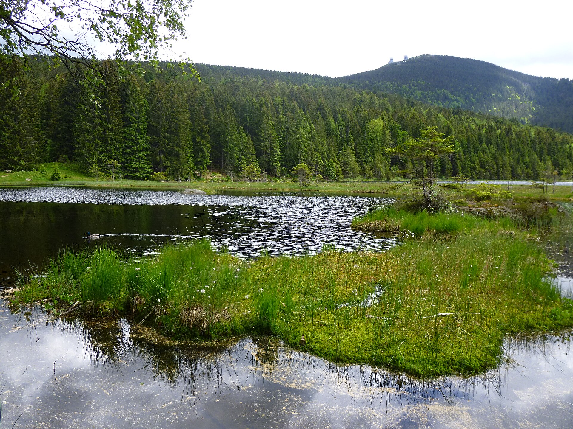
6 waterfalls and 2 lakes and ponds, including Vodopád v Bílé strži, Čertovo jezero (1,030 m), Lukášovy vodopády and Černé jezero (1,008 m) (Wikidata).
Are there historic monuments in Šumava Protected Landscape Area?
Yes. According to Wikidata, 172 monuments listed in the Czech central register of cultural monuments stand within the boundary, 1 of them a national cultural monument. For example: “Soubor plavebních kanálů na Šumavě”.
Can you swim in Šumava Protected Landscape Area?
2 monitored bathing sites lie in or within 1 km of the site; official 2025 classification: 1 excellent and 1 good (European Environment Agency). Swimming is only permitted at the sites and times authorised locally.
What is the nearest large city to Šumava Protected Landscape Area?
Nearest towns of over 50,000 people, as the crow flies: České Budějovice (31 km) and Linz (33 km). Nearest airport: Linz (LNZ), about 39 km away.
How can I reach Šumava Protected Landscape Area by train?
Lenora railway station lies within the site.
Where can I get visitor information on site?
Návštěvnické středisko Olšina, CHKO Šumava - Horní Planá and Územní pracoviště Stožec.
Are there waymarked hiking trails in Šumava Protected Landscape Area?
Yes. Waymarked hiking routes listed in OpenStreetMap: 119, including E 10, E 6, Nordwaldkammweg II and [Č] Vimperk. The “Nordwaldkammweg II” route runs for about 36 km through the site, with some 500 m of ascent on its longest section.
Which species can be seen in Šumava Protected Landscape Area?
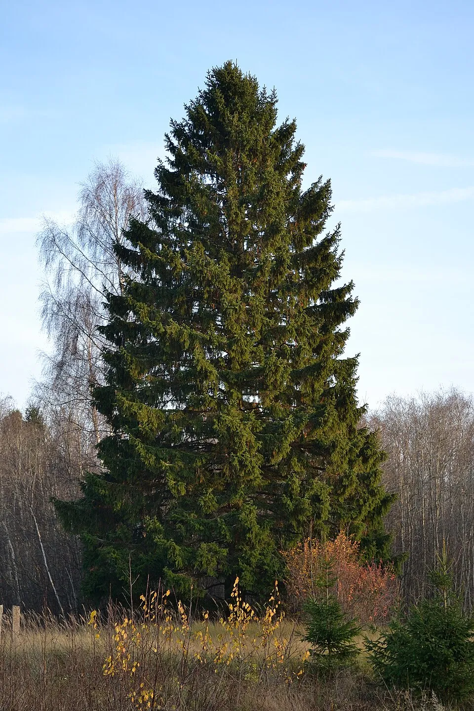
Among the species most often recorded on GBIF are Picea abies (Norway spruce), Fagus sylvatica (European Beech), Abies alba (Silver Fir) and Oxalis acetosella (Wood-sorrel).
What is the official website of Šumava Protected Landscape Area?
© OpenStreetMap
Download the boundary: GeoJSON · GPX Boundary © OpenStreetMap contributors (ODbL).
Geography
The representative point of the site lies at around 1,063 m above sea level. Over the 1996–2025 period, the mean annual temperature is about 5.7 °C and total precipitation reaches roughly 1,039 mm per year. The warmest month is usually July, the coolest January, and the wettest July. According to the European 1:1 million geological map (EGDI), the bedrock consists mainly of gneiss (71% of sampled points). These are mostly metamorphic rocks. The geological units date mainly from the Paleozoic (71% of sampled points). The site contains 4 lakes larger than 10 ha, totalling 43.6 km² of water; the largest, vodní nádrž Lipno, covers 43.8 km² (HydroLAKES). Černé jezero (19 ha) is 40.6 m deep (Wikidata).
Area
- Area
- 99,521 ha
- Elevation
- 1,063 m
- Median elevation
- 835 m
- Mean slope
- 8°
- Snow cover
- ≈ 85 days a year
- Lakes over 10 ha
- 4 (43.6 km²)
- Coordinates
- 48.984, 13.845
Terrain: Mapzen Terrain Tiles (SRTM, USGS) · Lakes: HydroLAKES (Messager et al. 2016, hydrosheds.org, CC BY 4.0) · depths: Wikidata (CC0)
Elevation bands
- 500–1,000 m 84%
- 1,000–1,500 m 16%
share of the site in each elevation band (smoothed terrain model: summits are rounded off) · Terrain: Mapzen Terrain Tiles (SRTM, USGS)
Bedrock
- Gneiss 71 %
- Metamorphic rocks 7 %
- Syenites 7 %
- Granites 7 %
- Clays and silts 7 %
Metamorphic rocks 79 % · Igneous rocks 14 % · Sedimentary rocks 7 % · Main age: Paleozoic (71%)
Source: EGDI 1:1M geological map (EuroGeoSurveys and national geological surveys), CC BY 4.0 · 14 sampled points within the site.
Main summits
- Boubín1,362 m
- Jezerní hora1,344 m
- Svaroh1,334 m
- Srní vrch1,298 m
- Basumský hřeben1,290 m
- Johnův kámen1,286 m
- Pažení1,281 m
- Boubínský hřbet (Srní hlava)1,269 m
- Bobík1,265 m
- Knížecí stolec1,237 m
Data © OpenStreetMap contributors (ODbL)
Climate
● Mean temperature (°C) · ▮ Precipitation (mm)
Source: Copernicus ERA5-Land (C3S, doi:10.24381/cds.68d2bb30), monthly averages 1996–2025 interpolated to the representative point, temperatures adjusted for elevation.
Contains modified Copernicus Climate Change Service information 2026. Neither the European Commission nor ECMWF is responsible for any use that may be made of the Copernicus information or data it contains.
Snow cover measured by satellite
J
F
M
A
M
J
J
A
S
O
N
D
average share of the site under snow · snowiest parts · ≈ 85 days a year
Snow cover: MODIS/Terra MOD10CM v61 (Hall & Riggs, 2021, NASA NSIDC DAAC, doi:10.5067/MODIS/MOD10CM.061), imagery from NASA GIBS (ESDIS); 2015–2025 average, grid of about 5 km.
Natural habitats
According to CORINE Land Cover (2018), the site is mainly made up of forests (62%), grassland and meadows (22%) and farmland (8%). Woodland is mostly coniferous. Elevation ranges from about 600 m to 1,362 m (highest point: Boubín). Median elevation is 835 m, and 16% of the site lies above 1,000 m (SRTM elevation model). The 4 Natura 2000 sites overlapping the area list 21 habitats of European interest (5 priority), the most extensive being acidophilous Picea forests of the montane to alpine levels (Vaccinio-Piceetea), Luzulo-Fagetum beech forests and Asperulo-Fagetum beech forests.
Biodiversity
Based on occurrences aggregated by GBIF, several species are regularly recorded within the site. Among the most frequent are Picea abies (Norway spruce), Fagus sylvatica (European Beech), Abies alba (Silver Fir) and Oxalis acetosella (Wood-sorrel). The full list of documented taxa is shown below. The overlapping Natura 2000 sites list 24 species of European interest: 10 birds, 4 mammals, 2 fish, 4 invertebrates and 4 plants.
Habitats of European interest
From the official forms of the 4 Natura 2000 sites overlapping the area (areas reported for each whole site).
- Acidophilous Picea forests of the montane to alpine levels (Vaccinio-Piceetea) 25,143 ha
- Luzulo-Fagetum beech forests 23,713 ha
- Asperulo-Fagetum beech forests 5,022 ha
- Lowland hay meadows (Alopecurus pratensis, Sanguisorba officinalis) 4,238 ha
- Alluvial forests with Alnus glutinosa and Fraxinus excelsior (Alno-Padion, Alnion incanae, Salicion albae) priority 3,600 ha
- Bog woodland priority 2,985 ha
- Species-rich Nardus grasslands, on silicious substrates in mountain areas (and submountain areas in Continental Europe) priority 2,851 ha
- Transition mires and quaking bogs 2,286 ha
and 13 more
Species of European interest
Birds · 10
Boreal Owl (Aegolius funereus) resident, Hazel Grouse (Bonasa bonasia) resident, Black Stork (Ciconia nigra) breeding, Corn Crake (Crex crex) breeding, Black Woodpecker (Dryocopus martius) resident, Eurasian Pygmy Owlet (Glaucidium passerinum) resident, Woodlark (Lullula arborea) breeding, Eurasian Black Grouse (Lyrurus tetrix tetrix) resident, Three-toed Woodpecker (Picoides tridactylus) resident, Western capercaillie (Tetrao urogallus) resident
Mammals · 4
Eurasian otter (Lutra lutra), Eurasian Lynx (Lynx lynx), Greater mouse-eared bat (Myotis myotis), Lesser horseshoe bat (Rhinolophus hipposideros)
Invertebrates · 4
Carabus menetriesi pacholei, Dusky Large Blue (Maculinea nausithous), Scarce large blue (Maculinea teleius), Freshwater pearl mussel (Margaritifera margaritifera)
Plants · 4
Buxbaumia moss (Buxbaumia viridis), Gentianella bohemica, Hamatocaulis moss (Hamatocaulis vernicosus), Ligularia sibirica
Source: Natura 2000 standard data forms (EEA, CC-BY 4.0). Not exhaustive: sensitive species are not published.
Species to look out for

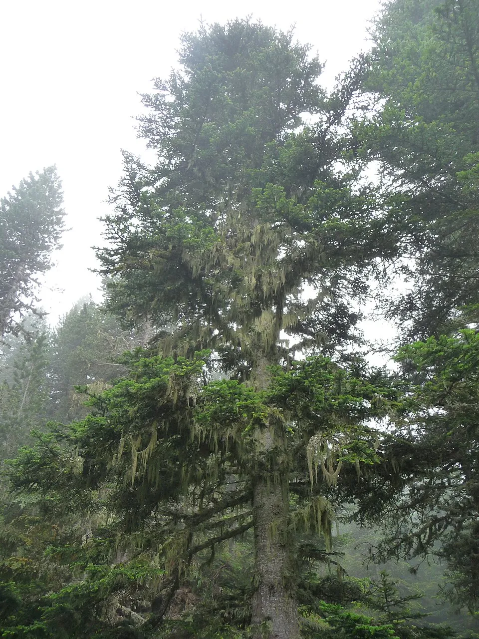
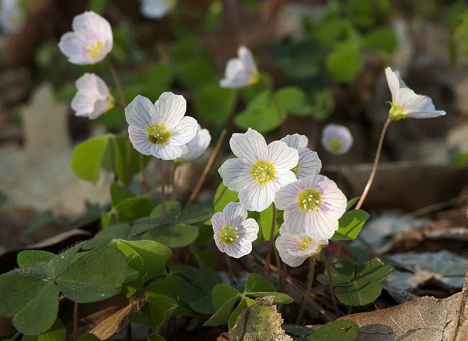
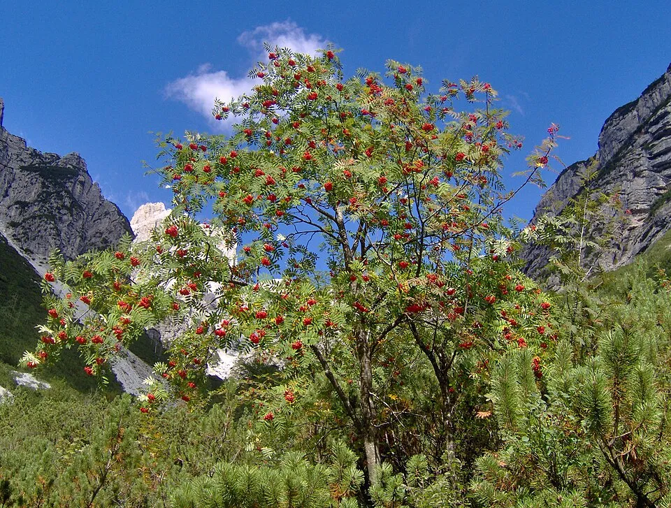
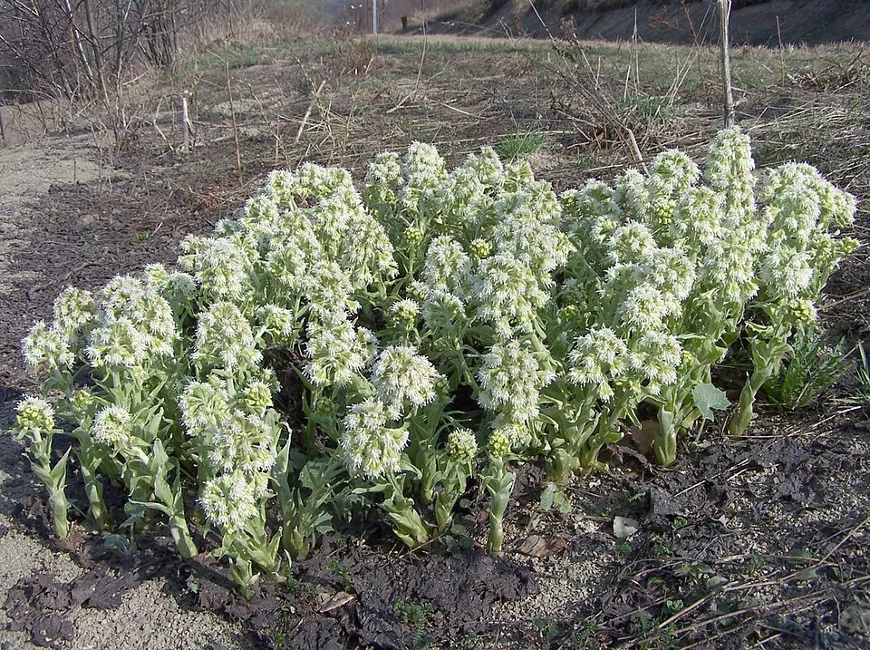
Observed species
Occurrences documented via GBIF; they are neither an exhaustive inventory nor proof of current presence.
- Norway spruce · Picea abies · 1369
- European Beech · Fagus sylvatica · 910
- Silver Fir · Abies alba · 800
- Wood-sorrel · Oxalis acetosella · 654
- Rowan · Sorbus aucuparia · 603
- White Butterbur · Petasites albus · 511
- Bilberry · Vaccinium myrtillus · 483
- Broad buckler-fern · Dryopteris dilatata · 474
- Wavy hairgrass · Avenella flexuosa · 471
- Trichoderma pubescens · 467
- Sycamore · Acer pseudoplatanus · 449
- Tormentil · Potentilla erecta · 449
+18 more species
- Wood ragwort · Senecio ovatus · 437
- Calamagrostis villosa · 427
- Marsh-marigold · Caltha palustris · 418
- Tufted hair-grass · Deschampsia cespitosa · 417
- Raspberry · Rubus idaeus · 387
- Eurasian Chaffinch · Fringilla coelebs · 386
- Colonial bentgrass · Agrostis capillaris · 377
- Marsh Thistle · Cirsium palustre · 374
- Common Sedge · Carex nigra · 372
- Lady-fern · Athyrium filix-femina · 363
- Meadowsweet · Filipendula ulmaria · 360
- Fen bedstraw · Galium uliginosum · 359
- Common Nettle · Urtica dioica · 355
- Bank Haircap · Polytrichum formosum · 351
- Great tit · Parus major · 340
- Myosotis nemorosa · 335
- Broom Moss · Dicranum scoparium · 330
- Wild angelica · Angelica sylvestris · 330
Records: GBIF.org (CC-BY). Names: Wikidata (CC0), GBIF. Photos: Wikimedia Commons.
Conservation challenges
The primary purpose of the site is to preserve its natural habitats and the biodiversity they support. The species recorded (Biodiversity tab) reflect its ecological value. The designations it holds frame its management and the control of land use.
According to Global Forest Change data (University of Maryland, Global Forest Watch), about 7,360 ha of tree cover were lost within the boundary between 2001 and 2023 (7% of its area), peaking in 2007 and 2020. These losses include logging, storms and fires, and do not account for regrowth. According to the European CORINE Land Cover inventory (Copernicus), land cover changed on about 709 ha of the site between 1990 and 2018 (under 1% of its area): forest grew by 559 ha, mostly at the expense of open natural land. Forest felling and regrowth add about 6,040 ha in total over the period. At night, the area gives off virtually no artificial light detectable from space (NASA VIIRS Black Marble composite, 2016). According to the Natura 2000 forms, of 21 assessed habitats of European interest, 5 are in excellent condition and the rest in good condition. According to the Water Framework Directive assessment (2022 river basin management plans, data 2016–2018), only 31% of the 178 km of rivers assessed within the site are in good or high ecological status; the others mostly have moderate ecological status. Other assessed water bodies: lakes, 1 of 3 in good ecological status or better. Since 2000, 19 invasive alien species have been recorded within the site (GBIF observations), 3 of them listed as of Union concern under EU Regulation 1143/2014. Among them: Impatiens glandulifera (Himalayan Balsam), Reynoutria sachalinensis (Giant Knotweed) and Alopochen aegyptiaca (Egyptian Goose).
Pressure indicators
Tree cover lost
7,357 ha
2001–2023 · 7% of the area
20012023
Fires since 2016
0
No large fire mapped (fires over about 30 ha)
Light at night
< 1%
of the area gives off artificial light visible from space
DarkLit
Built-up land
< 1%
buildings, business areas, roads, quarries · farmland 8%
Land cover change
709 ha
changed cover, 1990–2018 · CORINE · < 1% of the area
- +559 ha · forest
forest felling and regrowth: 6,040 ha in total
Rivers and lakes
31%
of the 178 km of assessed rivers in good or high ecological status · WFD 2022
Lakes: 1 of 3 good or better
assessments 2016–2018
Invasive alien species
19
incl. 3 of EU concern · since 2000
 Himalayan BalsamEU
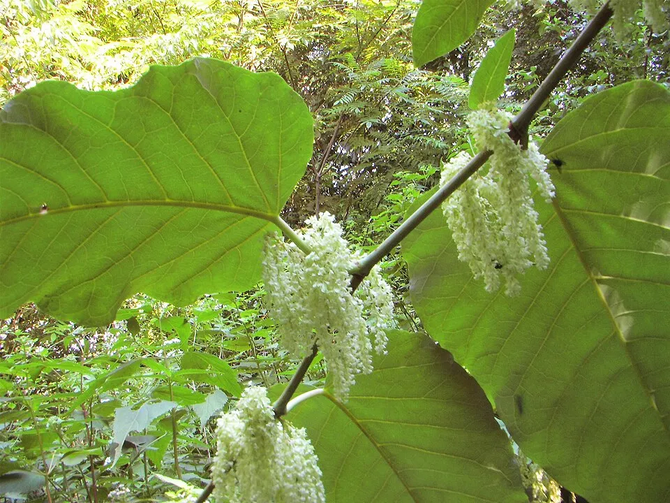 Giant KnotweedEU
 Egyptian GooseEU
 Small balsam
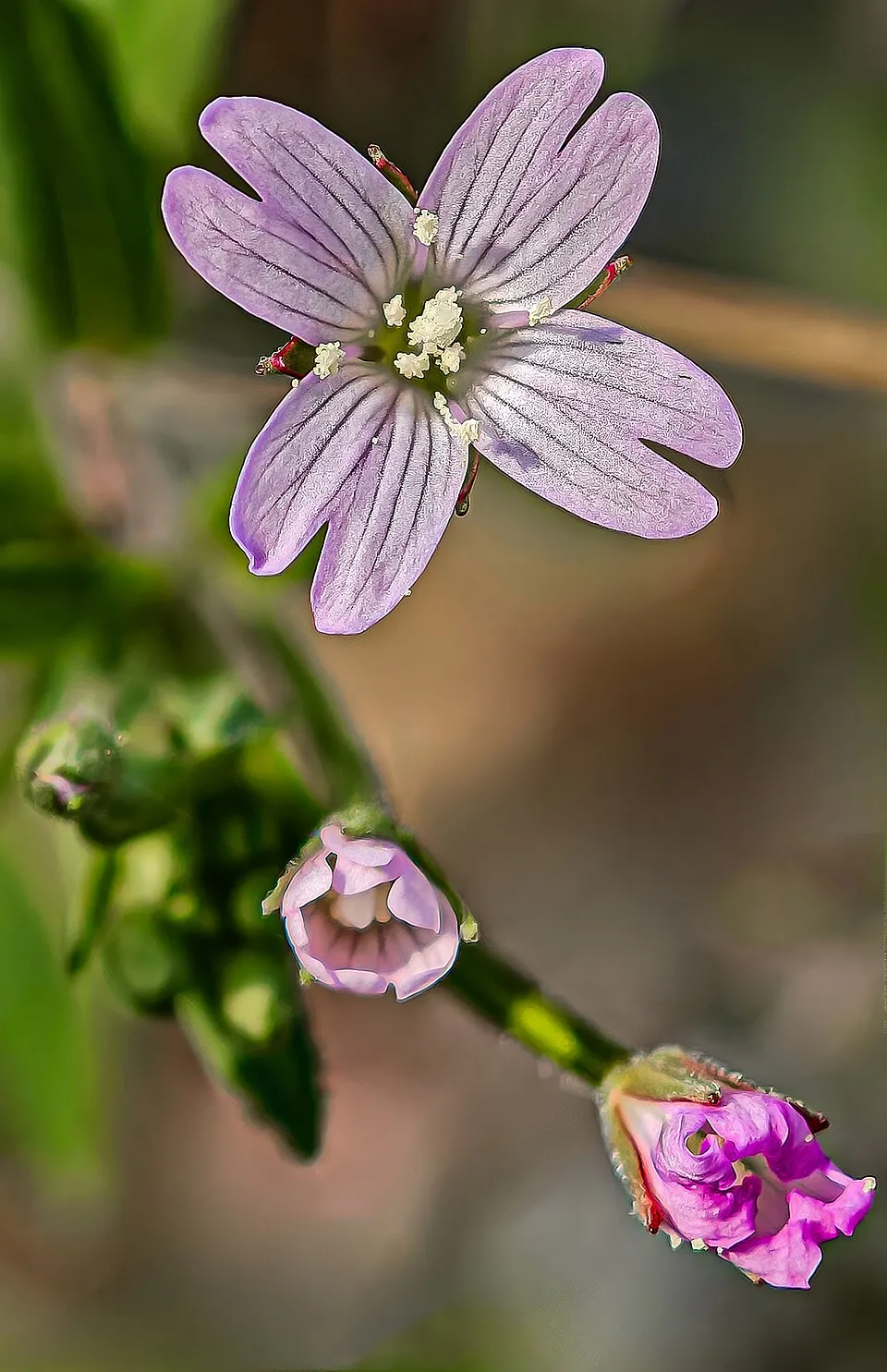 American willowherb
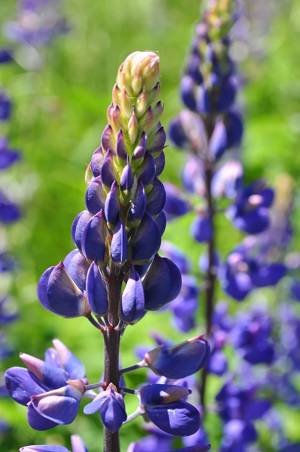 Large-leaved lupine
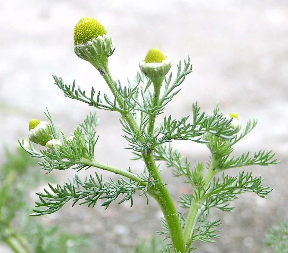 Pineappleweed
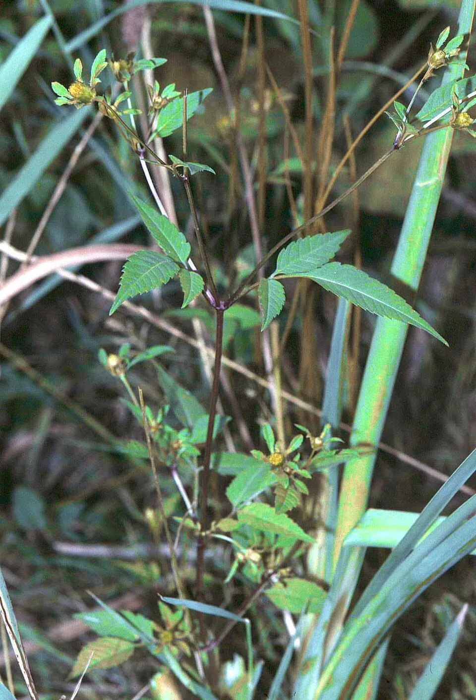 Beggarticks
Photos: Himalayan Balsam © Guptaele · CC BY-SA 4.0; Giant Knotweed © Velocicaptor · Public domain; Egyptian Goose © Rhododendrites · CC BY-SA 4.0; Small balsam © André Karwath aka Aka · CC BY-SA 2.5; American willowherb © Didier Descouens · CC BY-SA 4.0; Large-leaved lupine © Joe Mabel (on Flickr as Joe Mabel from Seattle, US) · CC BY-SA 3.0; Pineappleweed © Krzysztof Ziarnek · CC BY-SA 3.0; Beggarticks © Fornax · CC BY-SA 3.0
Sources: Global Forest Change (Hansen et al., University of Maryland, via Global Forest Watch, CC-BY 4.0); EFFIS, European Commission / Copernicus; NASA Black Marble 2016 (public domain); CORINE Land Cover 2018 (Copernicus) or MODIS.
CORINE Land Cover Change 1990–2018: generated using European Union's Copernicus Land Monitoring Service information (EEA), aggregated by Parkavela; DOI 10.2909/f30f1000-7cf8-43bb-872c-5eb093911b24.
Ecological status of water bodies: European Environment Agency, WISE – Water Framework Directive, 3rd river basin management plans (2022), CC BY 4.0. Official national classification, not comparable between countries.
Invasive alien species: Global Register of Introduced and Invasive Species (ISSG, CC BY 4.0); Union list, Regulation (EU) 1143/2014 (INBO, CC0); GBIF.org records (CC0 / CC BY 4.0), at least 2 per species.
Practical information
Cities and airport
- České Budějovice
31 km as the crow flies - Linz
33 km as the crow flies - Airport: Linz (LNZ)
39 km as the crow flies
Visitor information
- Návštěvnické středisko Olšina
within the site - CHKO Šumava - Horní Planá
within the site - Územní pracoviště Stožec
< 1 km from the site boundary - Územní pracoviště Borová Lada
< 1 km from the site boundary
Things to see
6 waterfalls · 2 lakes and ponds
- Vodopád v Bílé strži
waterfall - Čertovo jezero
lake or pond · 1,030 m - Lukášovy vodopády
waterfall - Černé jezero
lake or pond · 1,008 m - Bukový vodopád
waterfall
Hiking
119 waymarked routes listed, including:
E 10E 6Nordwaldkammweg II[Č] Vimperk[Č] U pramene Vltavy[Č] Sušice
By bike
EV13 · 37 km 33 33 Šumavská magistrála · 60 km7 Vltava Cycle Route · 31 km125 125 Putim - Mlaka · 17 km126 126 Běleč - Arnoštov · 17 km
+ 8 local loops
Signed cycle routes: this does not mean that cycling is allowed on footpaths.
Wheelchair access
- Kulturní a informační centrum Horní Planá
visitor information - Lipno Panorama
viewpoint
accessible toilets: 8
Reported by OpenStreetMap contributors (ODbL); check with the park before visiting.
Data © OpenStreetMap contributors (ODbL) · Wikidata (CC0)
Contains information from EuroVelo GPX tracks downloaded from www.EuroVelo.com on 2026-10-22, which is made available here under the Open Database License (ODbL). EuroVelo® is a registered trademark of the ECF. Routes © OpenStreetMap contributors (ODbL), via Waymarked Trails
Waymarked hiking routes
E10 Evropská dálková trasa E10, Česká republika, Jižní Čechy
2.8 km within the site ↗ 29 m↘ 17 m 722–749 m
E6 European long distance path E6 - part Czech Republic
27.2 km within the site ↗ 677 m↘ 907 m 486–1,234 m
Tracks © OpenStreetMap contributors (ODbL), clipped to the boundary; elevation gain and profiles computed on the longest section from Mapzen Terrain Tiles (≈ 30 m), indicative only.
Bathing
2 monitored bathing sites in or within 1 km of the site · 2025 classification
Excellent · 1
Good · 1
- Vn Lipno - Pláž Černá V Pošumaví · lake · Excellent
- Vn Lipno - Pláž Horní Planá · lake · Good
Source: European Environment Agency, official bathing water classification (Directive 2006/7/EC, CC-BY 4.0). Swimming is only permitted at the sites and times authorised locally.
Access and visiting
Lenora railway station lies within the site. Nearest towns of over 50,000 people, as the crow flies: České Budějovice (31 km) and Linz (33 km). Nearest airport: Linz (LNZ), about 39 km away. About 370,000 people live within 20 km of the site boundary, 130,000 of them within 10 km; some 17,000 people are estimated to live inside (GHSL estimate, 2020). Visitor information on site: Návštěvnické středisko Olšina, CHKO Šumava - Horní Planá and Územní pracoviště Stožec. Waymarked hiking routes listed in OpenStreetMap: 119, including E 10, E 6, Nordwaldkammweg II and [Č] Vimperk. The EuroVelo 13 cycle route (Iron Curtain Trail) crosses the site for about 37 km, mostly developed and signed; 12 other signed cycle routes also pass through, including “33 33 Šumavská magistrála” and “7 Vltava Cycle Route” (EuroVelo, OpenStreetMap). OpenStreetMap contributors list 2 wheelchair-accessible places: Kulturní a informační centrum Horní Planá and Lipno Panorama; check with the park before visiting. To see: 6 waterfalls and 2 lakes and ponds, including Vodopád v Bílé strži, Čertovo jezero (1,030 m), Lukášovy vodopády and Černé jezero (1,008 m). To plan a visit (access, opening periods, visitor rules), it is best to consult the official information from the managing body and the official website listed in this page's sources.
Source: OpenStreetMap (ODbL), Wikidata (CC0), October 2026.
Built heritage
According to Wikidata, 172 monuments listed in the Czech central register of cultural monuments stand within the boundary, 1 of them a national cultural monument. Among them are 69 houses and civic buildings, 55 religious buildings and 10 castles and fortifications. Nationally designated items include “Soubor plavebních kanálů na Šumavě”.
69 houses and civic buildings55 religious buildings10 castles and fortifications8 bridges, lighthouses, mills and working buildings1 prehistoric or archaeological site
-
Soubor plavebních kanálů na Šumavě
National
-
Fara v Železné Rudě
Železná Ruda -
Lenora Castle
Lenora -
Středověká úpravna zlatých rud
Kašperské Hory -
Městský dům Dlouhá 68
Kašperské Hory -
Klenutý mostek v Olšině
Olšina -
Boží muka u Huťského Dvora
Horní Planá · 19th c. -
Chapel of Saint Florian
Volary
and 164 more
Source: Wikidata (CC0), monuments in each country’s official heritage protection registers, at national or regional level. Each item links to its Wikidata entry.
When to visit
Mildest period: from June to August, with average temperatures of 13 to 16 °C. Average temperatures drop below 0 °C from December to February: frost is common. Precipitation peaks from May to August (up to 140 mm per month). These averages apply to the site's representative point (1,063 m); higher up it is markedly cooler and snow lasts longer. According to NASA's MODIS satellites (2015–2025 average), snow covers most of the site from December to February, with about 85 snow-covered days a year on average. Day length ranges from about 8 h 15 min in December to 16 h 10 min in June. Wildlife records published on GBIF peak for birds (May), plants (July and August), butterflies and moths (July), dragonflies (June and July) and mammals (from June to August). These peaks also reflect when observers are most active.
Source: Copernicus ERA5-Land (C3S), monthly averages 1996–2025 at the representative point, temperatures adjusted for elevation.
Contains modified Copernicus Climate Change Service information 2026. Neither the European Commission nor ECMWF is responsible for any use that may be made of the Copernicus information or data it contains.
Wildlife records calendar
JFMAMJJASOND
Birds
Plants
Butterflies & moths
Dragonflies
Mammals
Monthly records published on GBIF (CC-BY), relative to the busiest month; also reflects observer activity.
Gallery
© Dingoa · CC BY-SA 3.0
© Huhulenik · CC BY 3.0
© Czeva · CC BY-SA 3.0
© Qwertz0451 · CC0-1.0
© Jan Kameníček · CC BY-SA 3.0
© Draceane · CC BY-SA 4.0
Sources and licences
- Wikidata: Q8465690
- OpenStreetMap: relation 2022072
- Official website: https://www.npsumava.cz/
- Wikipedia: de.wikipedia.org/wiki/CHKO_Šumava
- WDPA: 4282
References
- cds.climate.copernicus.eu: climate · CC-BY-4.0
- registry.opendata.aws: elevation of the reference point, detailed relief · PD
- land.copernicus.eu: land cover, land cover change, sea share · COPERNICUS
- doi.org: population around the site · CC-BY-4.0
- wikidata.org: official area, establishment date, protected heritage, nearby cities and airport, access and peaks, lake depths, places to see, official website · CC0-1.0
- eea.europa.eu: bathing water quality, ecological status of waters · CC-BY-4.0
- en.eurovelo.com: EuroVelo cycle routes · ODbL-1.0
- cycling.waymarkedtrails.org: cycle routes · ODbL-1.0
- opentopodata.org: elevations · PD
- forest-fire.emergency.copernicus.eu: wildfires · COPERNICUS
- globalforestwatch.org: tree cover loss · CC-BY-4.0
- gbif.org: seasonality of sightings, invasive alien species, observed species · CC-BY-4.0
- europe-geology.eu: geology · CC-BY-4.0
- hydrosheds.org: lakes · CC-BY-4.0
- natura2000.eea.europa.eu: Natura 2000 habitats and species · CC-BY-4.0
- openstreetmap.org: official name, access and peaks, trail difficulty, wheelchair access · ODbL-1.0
- earthobservatory.nasa.gov: night light · PD
- hiking.waymarkedtrails.org: route difficulty · ODbL-1.0
- nsidc.org: snow cover · PD
- wikidata.org: Wikipedia article · CC-BY-SA-4.0
Data © OpenStreetMap contributors (ODbL), Wikidata (CC0) and the sources cited.