Germany · Terrestrial
Upper Bavarian Forest Nature Park
Nature park of 173,271 hectares in Germany, established in 1965.
Overview
Nature park of 173,271 hectares in Germany, established in 1965.
Upper Bavarian Forest Nature Park is located in Germany (Europe). It is a predominantly terrestrial area. Established in 1965, it covers about 173,271 hectares.
Protections and designations
Natura 2000 · habitats (SAC) · 21 sites
- Amphibienvorkommen am Pfahl bei Ried am Pfahl DE6841372
- Arracher Moor DE6844301
- Bachtäler im Falkensteiner Vorwald DE6939302
- Bayerische Schwarzach und Biberbach DE6541371
- Buchenwald östlich Perlhütte DE6642371
- Buchenwälder bei Althütte DE6642302
- and 15 more
Natura 2000 · birds (SPA) · 2 sites
Protected as a nature park. International labels and designations: Natura 2000 network (23 sites). Key dates: established in 1965, first Natura 2000 site under the Habitats Directive in 2004 and first Natura 2000 site under the Birds Directive in 2006.
In our collections
Timeline
-
1965
Established
-
2004
First Natura 2000 site under the Habitats Directive 21 such sites designated up to 2008
-
2006
First Natura 2000 site under the Birds Directive 2 such sites designated up to 2006
Sources: Wikidata (CC0) for establishment and international labels; EEA Natura 2000 database (CC-BY 4.0) for site designation dates.
Frequently asked questions
Where is Upper Bavarian Forest Nature Park?
In Germany (Europe). Representative point: 49.2414° N, 12.6959° E.
How large is Upper Bavarian Forest Nature Park?
About 173,271 hectares (1,733 km²). It is the 13th largest of the 66 nature parks in Germany covered by Parkavela.
When was Upper Bavarian Forest Nature Park established?
In 1965.
What habitats and landscapes does Upper Bavarian Forest Nature Park include?
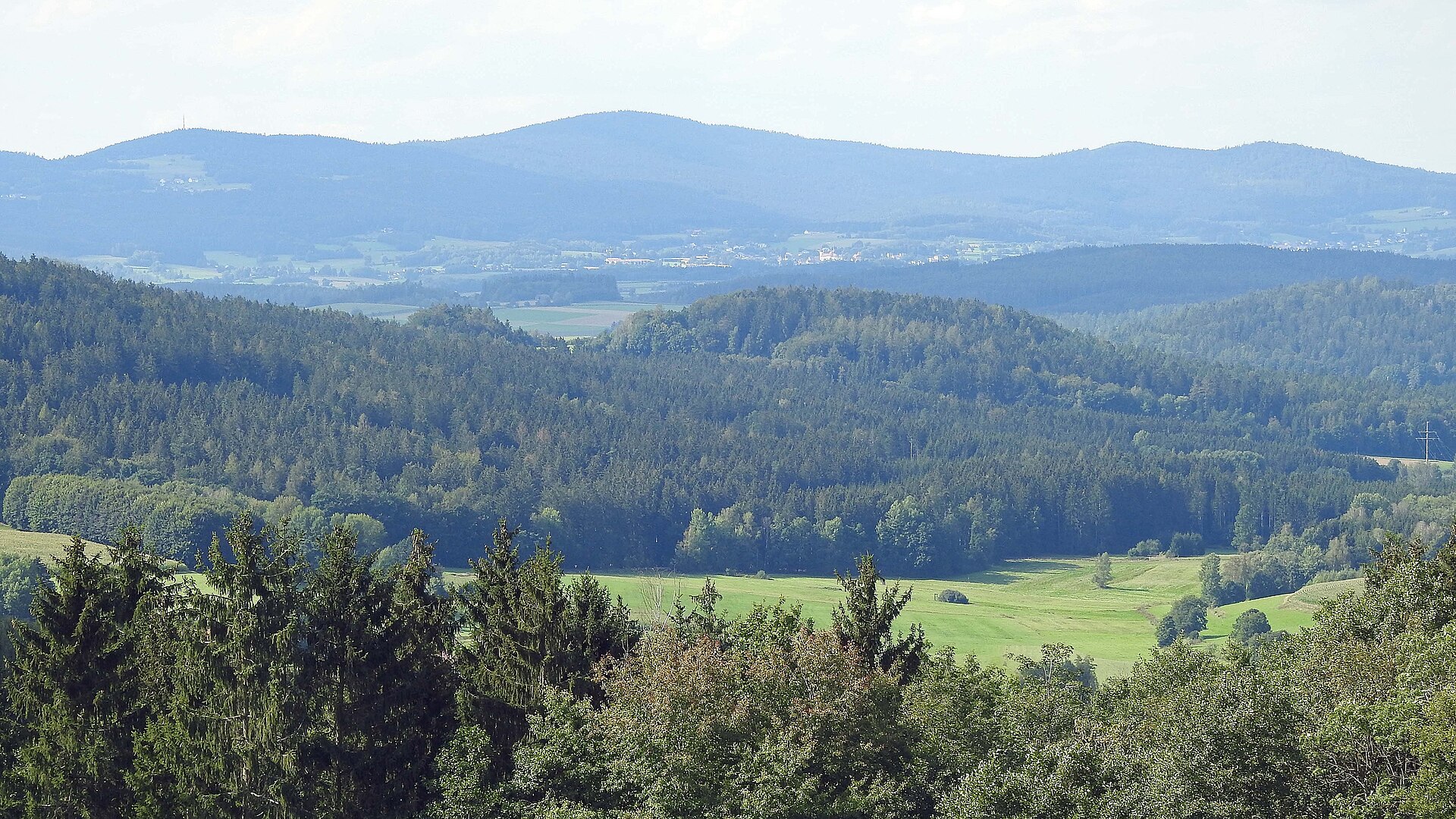
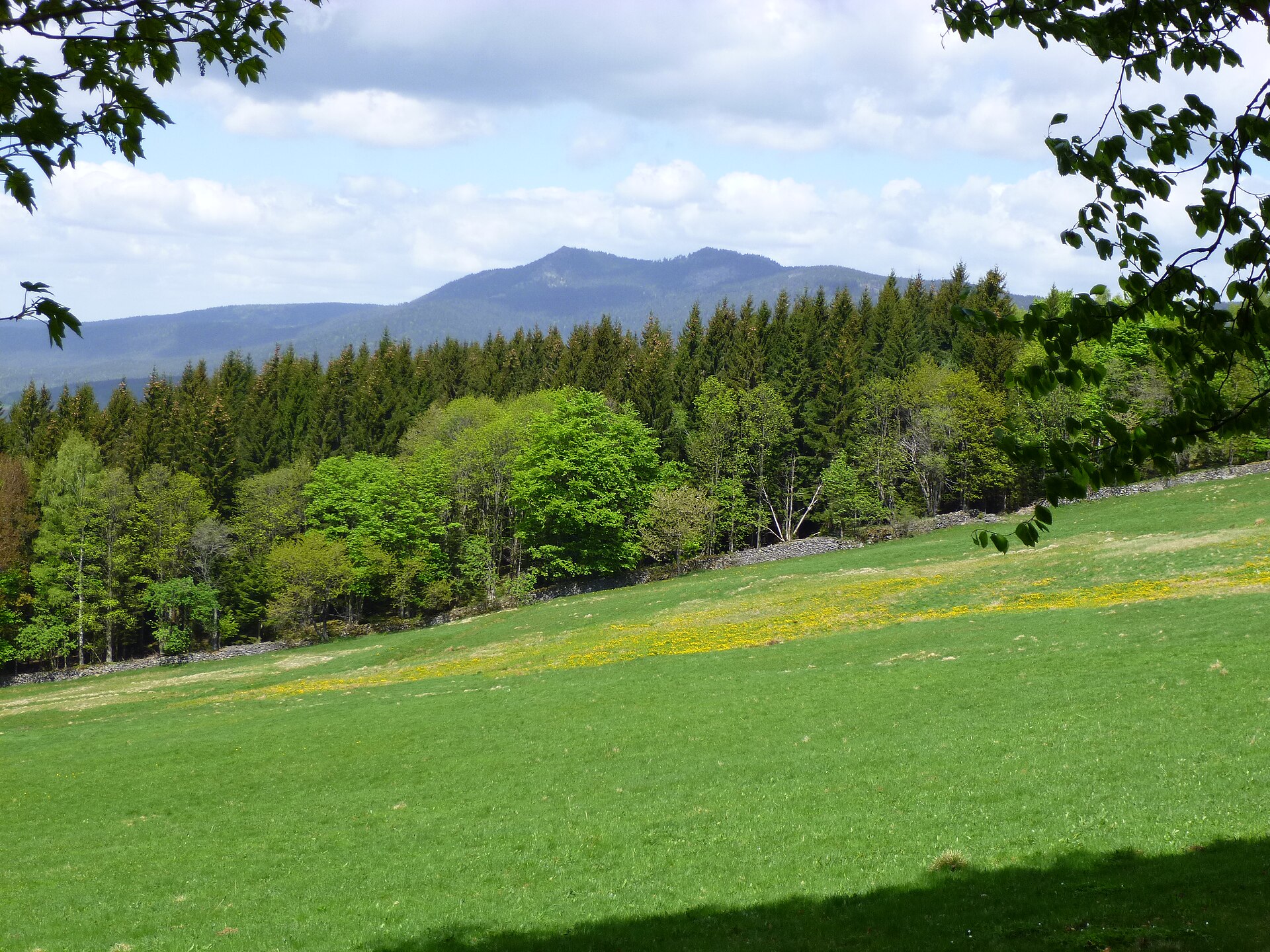
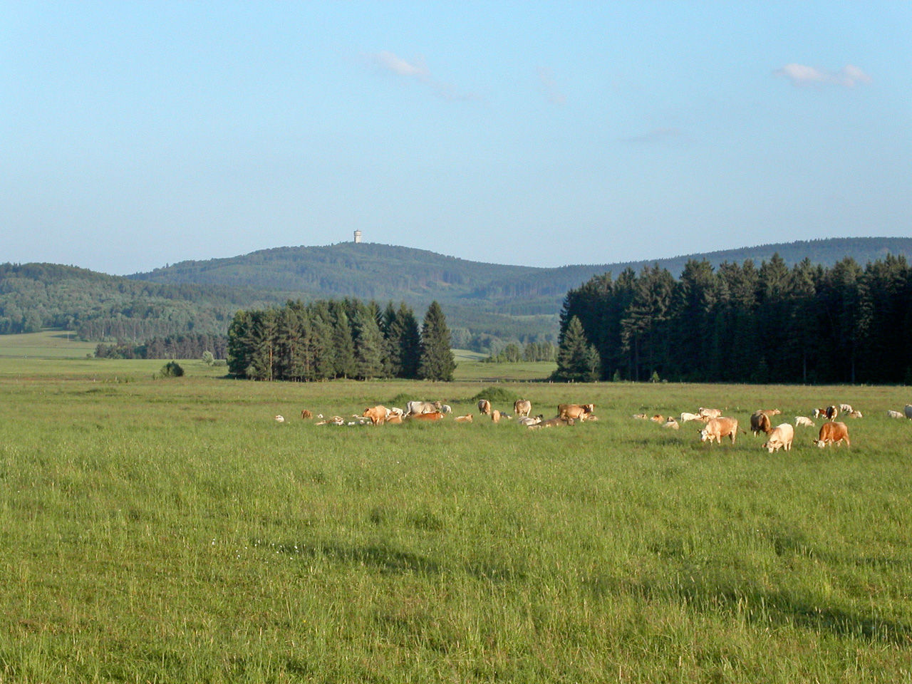
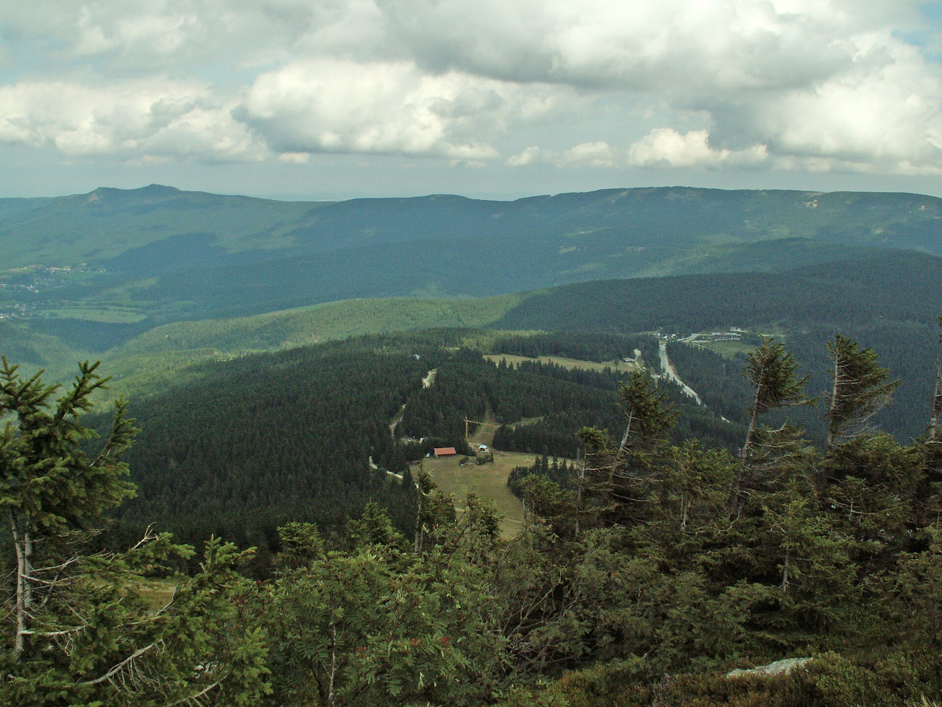
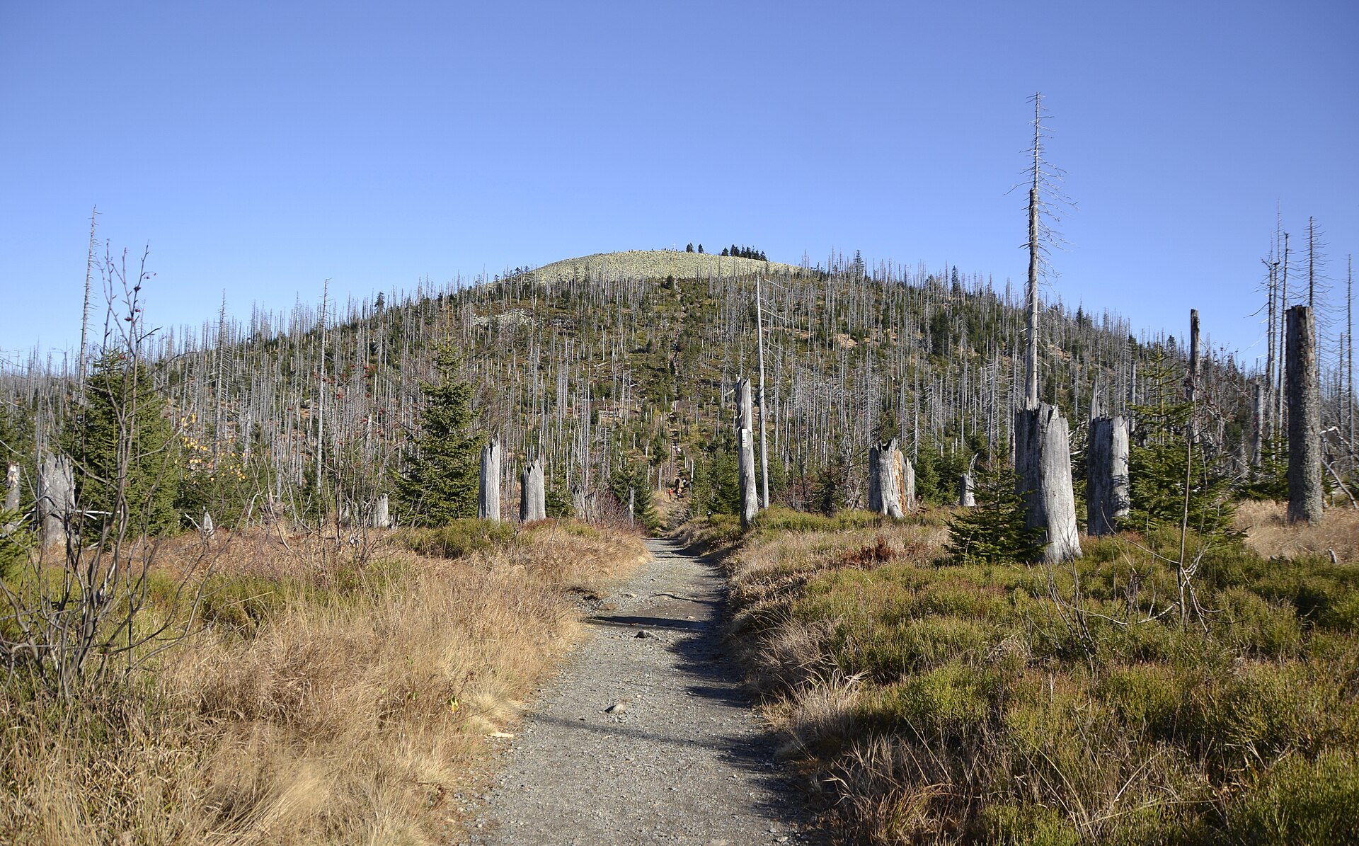
A terrestrial area, with forests and mountains.
What rocks lie beneath Upper Bavarian Forest Nature Park?
According to the European 1:1 million geological map (EGDI), the bedrock consists mainly of gneiss (31% of sampled points), limestones (19%) and metamorphic rocks (19%). The geological units date mainly from the Precambrian (56% of sampled points).
What is the highest point of Upper Bavarian Forest Nature Park?
Großer Osser, at 1,293 m (OpenStreetMap).
What are the main summits of Upper Bavarian Forest Nature Park?
Großer Osser (1,293 m), Kleiner Osser (1,266 m), Huberriegel (1,184 m), Hängender Riegel (1,183 m) and Hindenburgfelsen (1,173 m) (OpenStreetMap).
Which international labels apply to Upper Bavarian Forest Nature Park?
Natura 2000 network (23 sites).
When is the best time to visit Upper Bavarian Forest Nature Park?
Best time to visit: from May to September, with average temperatures of 13 to 19 °C and moderate rainfall.
Is there snow in Upper Bavarian Forest Nature Park?
Yes. According to NASA's MODIS satellites (2015–2025 average), snow covers most of the site in January, and until February on higher ground, with about 45 snow-covered days a year on average.
What is there to see in Upper Bavarian Forest Nature Park?
166 viewpoints, 3 waterfalls, 103 lakes and ponds and 4 caves, including Aussicht nach Neubäu am See (539 m), Sollerfall, Armersloheweiher and Schrazlloch (582 m) (OpenStreetMap).
Where can I stay in Upper Bavarian Forest Nature Park?
2 mountain huts and 32 campsites, including Osserschutzhaus, Adventure Camp Bad Kötzting and Waldvereinshütte (OpenStreetMap).
Can you swim in Upper Bavarian Forest Nature Park?
3 monitored bathing sites lie in or within 1 km of the site; official 2025 classification: 3 excellent (European Environment Agency). Swimming is only permitted at the sites and times authorised locally.
What is the nearest large city to Upper Bavarian Forest Nature Park?
Nearest towns of over 50,000 people, as the crow flies: Regensburg (19 km) and Plzeň (54 km). Nearest airport: Nuremberg (NUE), about 82 km away.
How can I reach Upper Bavarian Forest Nature Park by train?
Bodenwöhr Nord railway station lies within the site.
Where can I get visitor information on site?
Touristikbüro, Tourismusbüro and Tourist-Info Cham.
Are there waymarked hiking trails in Upper Bavarian Forest Nature Park?
Yes. Waymarked hiking routes listed in OpenStreetMap: 294, including E 6, Main-Donau-Weg (Ostlinie), Oberpfalzweg and Goldsteig. The “Oberpfalzweg” route runs for about 51 km through the site, with some 750 m of ascent on its longest section.
Which species can be seen in Upper Bavarian Forest Nature Park?
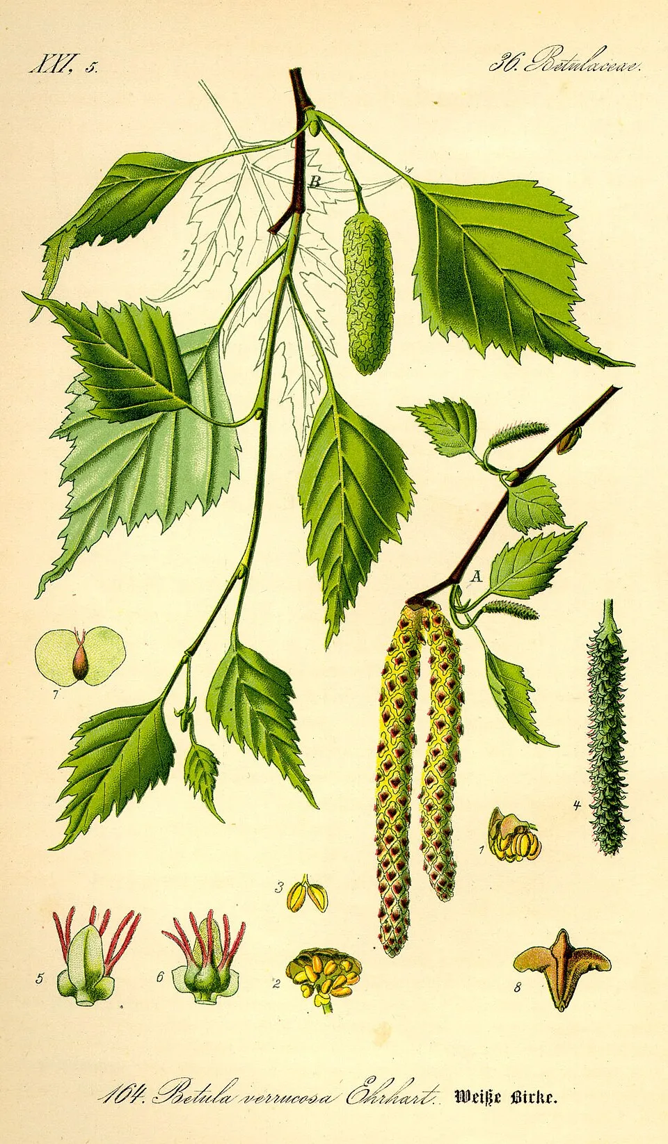
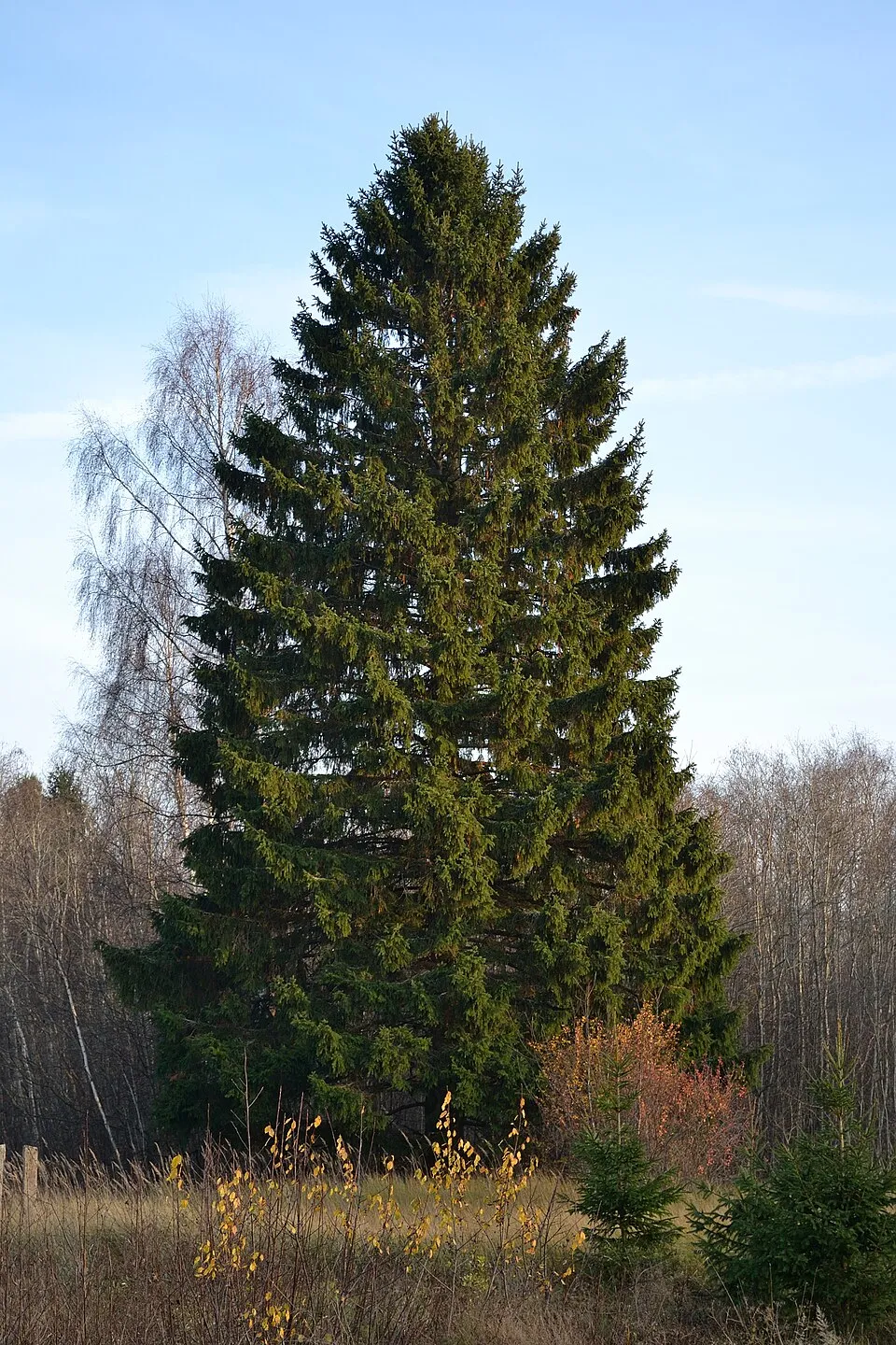
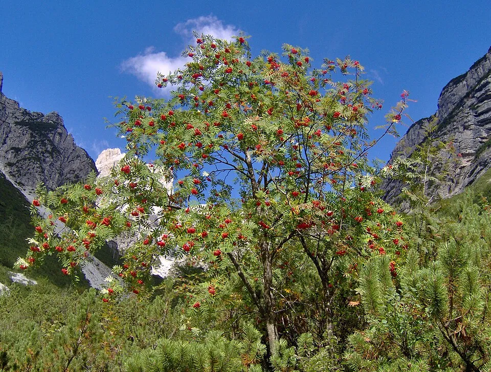
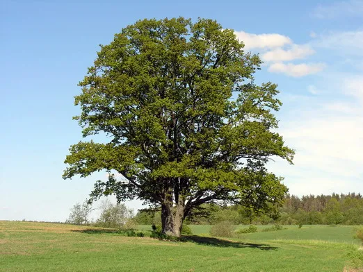
Among the species most often recorded on GBIF are Betula pendula (Silver Birch), Picea abies (Norway spruce), Sorbus aucuparia (Rowan) and Quercus robur (Pedunculate Oak).
© OpenStreetMap
Download the boundary: GeoJSON · GPX Boundary © OpenStreetMap contributors (ODbL).
Geography
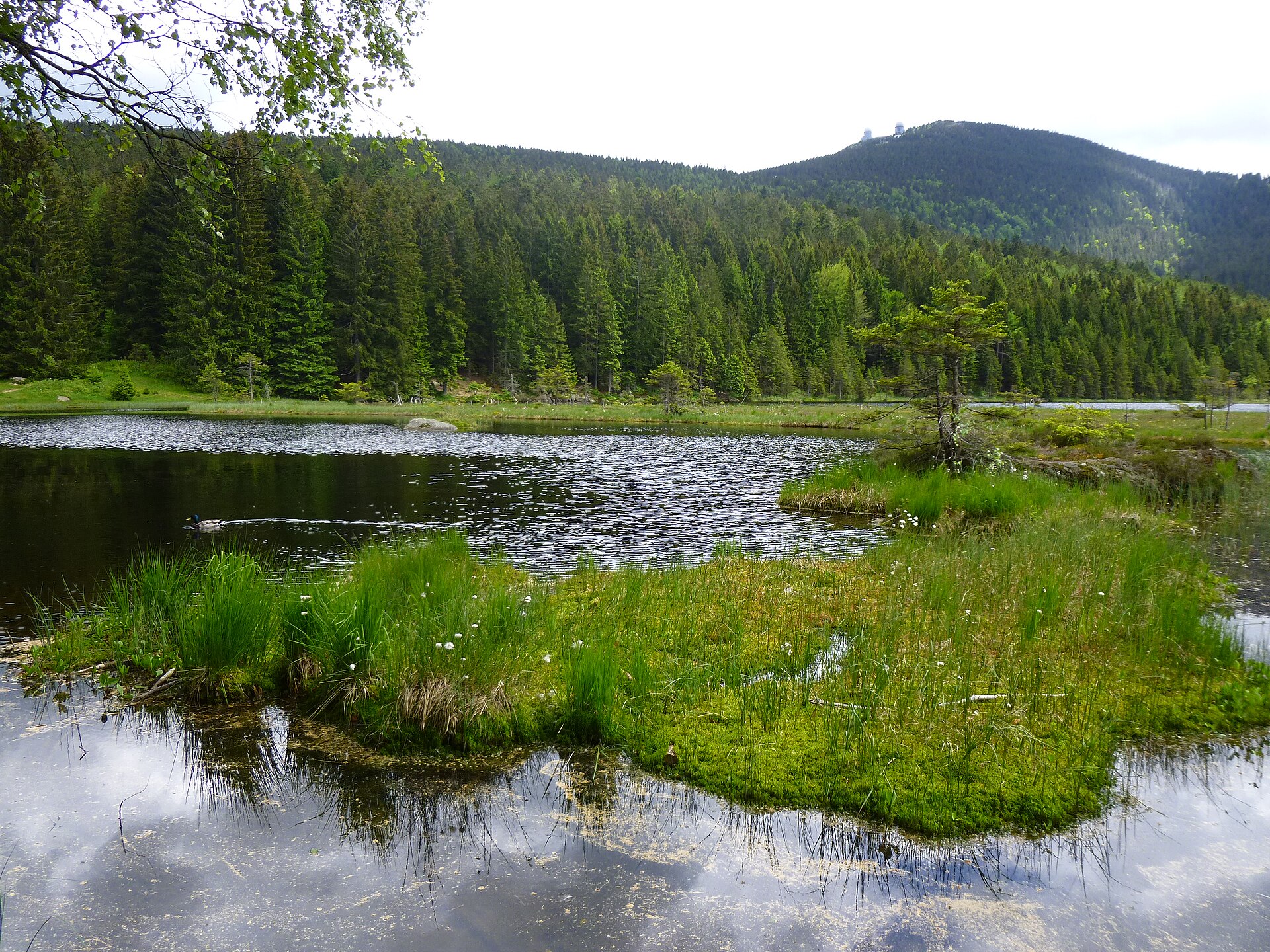
The representative point of the site lies at around 506 m above sea level. Over the 1996–2025 period, the mean annual temperature is about 8.8 °C and total precipitation reaches roughly 924 mm per year. The warmest month is usually July, the coolest January, and the wettest July. According to the European 1:1 million geological map (EGDI), the bedrock consists mainly of gneiss (31% of sampled points), limestones (19%) and metamorphic rocks (19%). The geological units date mainly from the Precambrian (56% of sampled points). The site contains 10 lakes larger than 10 ha, totalling 2.6 km² of water (HydroLAKES). Kleiner Arbersee (2.8 ha) is 12 m deep (Wikidata).
Area
- Area
- 173,271 ha
- Elevation
- 506 m
- Median elevation
- 481 m
- Mean slope
- 6°
- Snow cover
- ≈ 45 days a year
- Lakes over 10 ha
- 10 (2.6 km²)
- Coordinates
- 49.2414, 12.6959
Terrain: Mapzen Terrain Tiles (SRTM, USGS) · Lakes: HydroLAKES (Messager et al. 2016, hydrosheds.org, CC BY 4.0) · depths: Wikidata (CC0)
Elevation bands
- below 500 m 57%
- 500–1,000 m 41%
- 1,000–1,500 m 2%
share of the site in each elevation band (smoothed terrain model: summits are rounded off) · Terrain: Mapzen Terrain Tiles (SRTM, USGS)
Bedrock
- Gneiss 31 %
- Limestones 19 %
- Metamorphic rocks 19 %
- Granites 13 %
- Sands and gravels 6 %
- Mica schists 6 %
- Gabbros 6 %
Metamorphic rocks 56 % · Sedimentary rocks 25 % · Igneous rocks 19 % · Main age: Precambrian (56%)
Source: EGDI 1:1M geological map (EuroGeoSurveys and national geological surveys), CC BY 4.0 · 16 sampled points within the site.
Main summits
- Großer Osser1,293 m
- Kleiner Osser1,266 m
- Huberriegel1,184 m
- Hängender Riegel1,183 m
- Hindenburgfelsen1,173 m
- Malý Kokrháč1,169 m
- Ödriegel1,154 m
- Zwengerlingsriegel1,152 m
- Maxfelsen1,138 m
- Wagnerspitze1,125 m
Data © OpenStreetMap contributors (ODbL)
Climate
● Mean temperature (°C) · ▮ Precipitation (mm)
Source: Copernicus ERA5-Land (C3S, doi:10.24381/cds.68d2bb30), monthly averages 1996–2025 interpolated to the representative point, temperatures adjusted for elevation.
Contains modified Copernicus Climate Change Service information 2026. Neither the European Commission nor ECMWF is responsible for any use that may be made of the Copernicus information or data it contains.
Snow cover measured by satellite
J
F
M
A
M
J
J
A
S
O
N
D
average share of the site under snow · snowiest parts · ≈ 45 days a year
Snow cover: MODIS/Terra MOD10CM v61 (Hall & Riggs, 2021, NASA NSIDC DAAC, doi:10.5067/MODIS/MOD10CM.061), imagery from NASA GIBS (ESDIS); 2015–2025 average, grid of about 5 km.
Natural habitats
According to CORINE Land Cover (2018), the site is mainly made up of forests (43%), grassland and meadows (32%) and farmland (19%). Woodland is mostly coniferous. Elevation ranges from about 360 m to 1,293 m (highest point: Großer Osser). Median elevation is 481 m, and 43% of the site lies above 500 m (SRTM elevation model). The 23 Natura 2000 sites overlapping the area list 29 habitats of European interest (6 priority), the most extensive being acidophilous Picea forests of the montane to alpine levels (Vaccinio-Piceetea), Luzulo-Fagetum beech forests and Asperulo-Fagetum beech forests.
Biodiversity
Based on occurrences aggregated by GBIF, several species are regularly recorded within the site. Among the most frequent are Betula pendula (Silver Birch), Picea abies (Norway spruce), Sorbus aucuparia (Rowan) and Quercus robur (Pedunculate Oak). The full list of documented taxa is shown below. The overlapping Natura 2000 sites list 108 species of European interest: 55 birds, 21 mammals, 2 reptiles, 6 amphibians, 11 fish, 7 invertebrates, 4 plants and 2 lichens.
Habitats of European interest
From the official forms of the 23 Natura 2000 sites overlapping the area (areas reported for each whole site).
- Acidophilous Picea forests of the montane to alpine levels (Vaccinio-Piceetea) 1,390 ha
- Luzulo-Fagetum beech forests 1,348 ha
- Asperulo-Fagetum beech forests 450 ha
- Bog woodland priority 130 ha
- Lowland hay meadows (Alopecurus pratensis, Sanguisorba officinalis) 127 ha
- Water courses of plain to montane levels with the Ranunculion fluitantis and Callitricho-Batrachion vegetation 100 ha
- Alluvial forests with Alnus glutinosa and Fraxinus excelsior (Alno-Padion, Alnion incanae, Salicion albae) priority 93 ha
- Hydrophilous tall herb fringe communities of plains and of the montane to alpine levels 58 ha
and 21 more
Species of European interest
Birds · 55
Sedge warbler (Acrocephalus schoenobaenus) breeding, Boreal Owl (Aegolius funereus) breeding, Common Kingfisher (Alcedo atthis) breeding passage, Meadow Pipit (Anthus pratensis) breeding, Great Egret (Ardea alba) passage, Grey Heron (Ardea cinerea) breeding, Purple Heron (Ardea purpurea) breeding, Ferruginous Duck (Aythya nyroca) passage, Hazel Grouse (Bonasa bonasia) breeding, Eurasian Bittern (Botaurus stellaris) breeding, Ruff (Calidris pugnax) passage, Whiskered Tern (Chlidonias hybrida) passage and 43 more
Mammals · 21
Barbastelle (Barbastella barbastellus), Eurasian Beaver (Castor fiber), Northern Bat (Eptesicus nilssonii), Serotine bat (Eptesicus serotinus), European wildcat (Felis silvestris), Eurasian otter (Lutra lutra), Eurasian Lynx (Lynx lynx), European pine marten (Martes martes), Hazel dormouse (Muscardinus avellanarius), Bechstein's bat (Myotis bechsteinii), Daubenton's bat (Myotis daubentonii), Greater mouse-eared bat (Myotis myotis) and 9 more
Amphibians · 6
Yellow-bellied toad (Bombina variegata), Common tree frog (Hyla arborea), Common Spadefoot (Pelobates fuscus), Moor frog (Rana arvalis), Common frog (Rana temporaria), Great crested newt (Triturus cristatus)
Fish · 11
Asp (Aspius aspius), Spined Loach (Cobitis taenia Complex), European bullhead (Cottus gobio), Striped Ruffe (Gymnocephalus schraetzer), Huchen (Hucho hucho), European brook lamprey (Lampetra planeri), Weatherfish (Misgurnus fossilis), European bitterling (Rhodeus amarus), Cactus Roach (Rutilus virgo), Streber (Zingel streber), Zingel (Zingel zingel)
Invertebrates · 7
Stone crayfish (Austropotamobius torrentium), Dark whiteface (Leucorrhinia albifrons), Dusky Large Blue (Maculinea nausithous), Scarce large blue (Maculinea teleius), Freshwater pearl mussel (Margaritifera margaritifera), Green snaketail (Ophiogomphus cecilia), Thick shelled river mussel (Unio crassus)
Plants · 4
Mountain arnica (Arnica montana), Fir Clubmoss (Huperzia selago), Marsh clubmoss (Lycopodiella inundata), Killarney Fern (Vandenboschia speciosa)
Source: Natura 2000 standard data forms (EEA, CC-BY 4.0). Not exhaustive: sensitive species are not published.
Species to look out for
Observed species
Occurrences documented via GBIF; they are neither an exhaustive inventory nor proof of current presence.
- Silver Birch · Betula pendula · 2180
- Norway spruce · Picea abies · 2050
- Rowan · Sorbus aucuparia · 2042
- Pedunculate Oak · Quercus robur · 1982
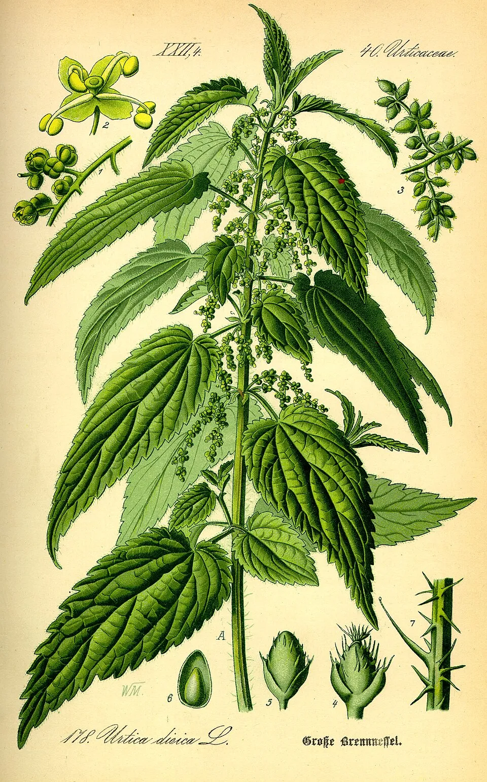
- Common Nettle · Urtica dioica · 1858
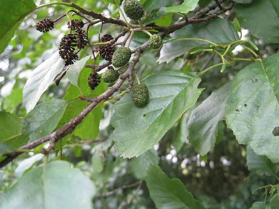
- Common Alder · Alnus glutinosa · 1820
- Quaking-grass sedge · Carex brizoides · 1811
- Raspberry · Rubus idaeus · 1776
- Wild angelica · Angelica sylvestris · 1760
- Meadowsweet · Filipendula ulmaria · 1728
- Great Burnet · Sanguisorba officinalis · 1711
- Eurasian Aspen · Populus tremula · 1661
+18 more species
- Marsh Thistle · Cirsium palustre · 1642
- Alder Buckthorn · Frangula alnus · 1627
- Wood club-rush · Scirpus sylvaticus · 1613
- Soft rush · Juncus effusus · 1595
- Yellow Loosestrife · Lysimachia vulgaris · 1491
- Bilberry · Vaccinium myrtillus · 1477
- Marsh-marigold · Caltha palustris · 1477
- Colonial bentgrass · Agrostis capillaris · 1473
- Tormentil · Potentilla erecta · 1447
- Tufted hair-grass · Deschampsia cespitosa · 1404
- Scots Pine · Pinus sylvestris · 1400
- Meadow buttercup · Ranunculus acris · 1396
- Goat Willow · Salix caprea · 1392
- Yorkshire-fog · Holcus lanatus · 1379
- European Beech · Fagus sylvatica · 1372
- Ribwort Plantain · Plantago lanceolata · 1312
- Hazel · Corylus avellana · 1303
- Elder · Sambucus nigra · 1284
Records: GBIF.org (CC-BY). Names: Wikidata (CC0), GBIF. Photos: Wikimedia Commons.
Conservation challenges
The primary purpose of the site is to preserve its natural habitats and the biodiversity they support. The species recorded (Biodiversity tab) reflect its ecological value. The designations it holds frame its management and the control of land use.
According to Global Forest Change data (University of Maryland, Global Forest Watch), about 4,060 ha of tree cover were lost within the boundary between 2001 and 2023 (2% of its area), peaking in 2007 and 2020. These losses include logging, storms and fires, and do not account for regrowth. According to the European CORINE Land Cover inventory (Copernicus), land cover changed on about 919 ha of the site between 1990 and 2018 (under 1% of its area). At night, 2% of the area gives off artificial light detectable from space (NASA VIIRS Black Marble composite, 2016). Built-up and developed land (buildings, business areas, roads, quarries) covers 4% of the area, and farmland 19% (CORINE Land Cover). According to the Natura 2000 forms, of 29 assessed habitats of European interest, 15 are in excellent condition and 1 in average or reduced condition. According to the Water Framework Directive assessment (2022 river basin management plans, data 2018–2019), only 7% of the 687 km of rivers assessed within the site are in good or high ecological status; the others mostly have moderate ecological status. Other assessed water bodies: lakes, 0 of 2 in good ecological status or better. Since 2000, 56 invasive alien species have been recorded within the site (GBIF observations), 9 of them listed as of Union concern under EU Regulation 1143/2014. Among them: Impatiens glandulifera (Himalayan Balsam), Alopochen aegyptiaca (Egyptian Goose) and Reynoutria japonica (Japanese Knotweed).
Pressure indicators
Tree cover lost
4,056 ha
2001–2023 · 2% of the area
20012023
Fires since 2016
0
No large fire mapped (fires over about 30 ha)
Light at night
2%
of the area gives off artificial light visible from space
DarkLit
Built-up land
4%
buildings, business areas, roads, quarries · farmland 19%
Land cover change
919 ha
changed cover, 1990–2018 · CORINE · < 1% of the area
Rivers and lakes
7%
of the 687 km of assessed rivers in good or high ecological status · WFD 2022
Lakes: 0 of 2 good or better
assessments 2018–2019
Invasive alien species
56
incl. 9 of EU concern · since 2000
 Himalayan BalsamEU
 Egyptian GooseEU
 Japanese KnotweedEU
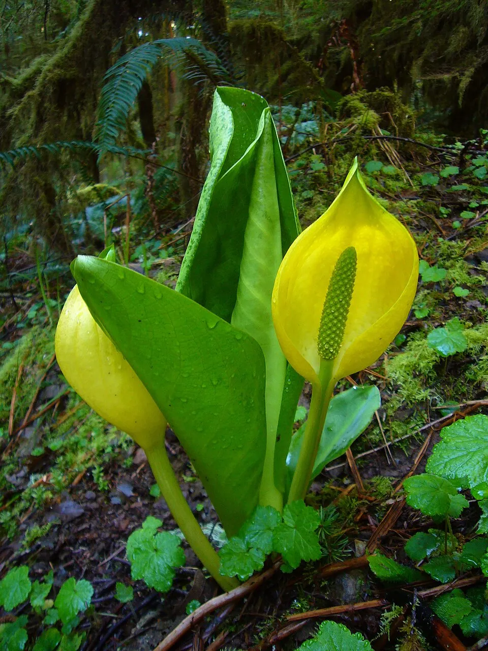 American skunkcabbageEU
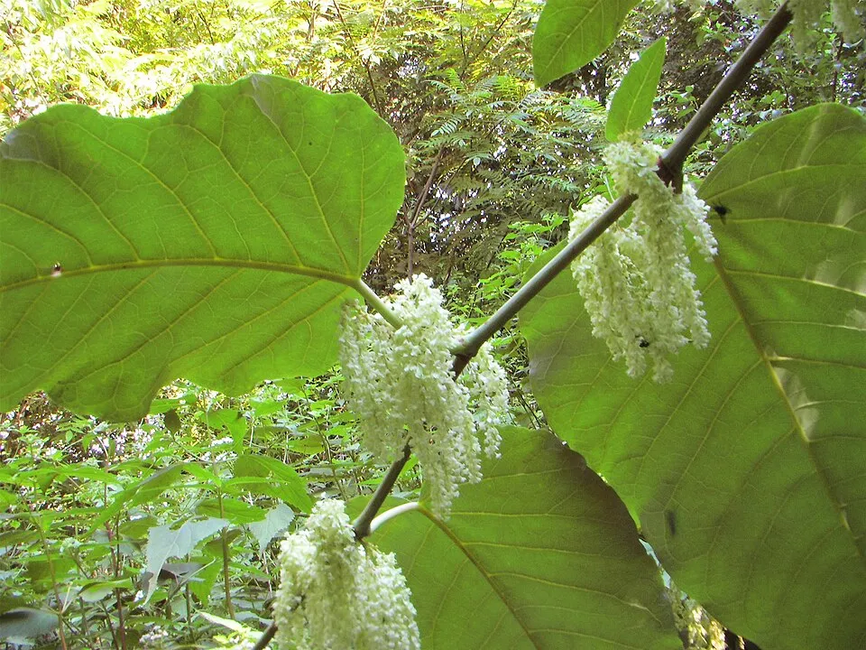 Giant KnotweedEU
 Giant HogweedEU
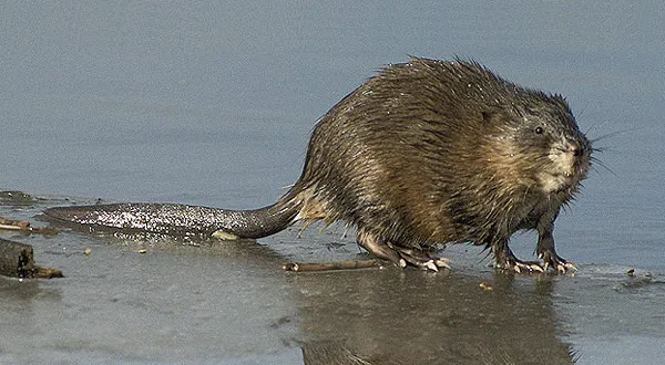 MuskratEU
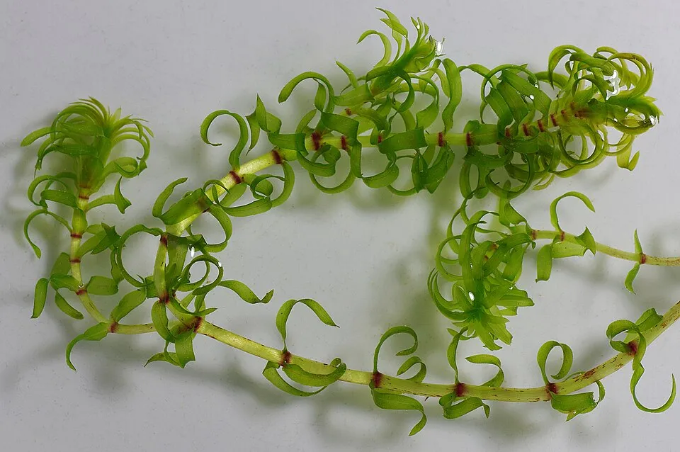 Western waterweedEU
Photos: Himalayan Balsam © Guptaele · CC BY-SA 4.0; Egyptian Goose © Rhododendrites · CC BY-SA 4.0; Japanese Knotweed © W.carter · CC0-1.0; American skunkcabbage © Martin Bravenboer · Public domain; Giant Knotweed © Velocicaptor · Public domain; Giant Hogweed © anastasiiamerkulova · CC BY 4.0; Muskrat © David Menke · Public domain; Western waterweed © Christian Fischer · CC BY-SA 3.0
Sources: Global Forest Change (Hansen et al., University of Maryland, via Global Forest Watch, CC-BY 4.0); EFFIS, European Commission / Copernicus; NASA Black Marble 2016 (public domain); CORINE Land Cover 2018 (Copernicus) or MODIS.
CORINE Land Cover Change 1990–2018: generated using European Union's Copernicus Land Monitoring Service information (EEA), aggregated by Parkavela; DOI 10.2909/f30f1000-7cf8-43bb-872c-5eb093911b24.
Ecological status of water bodies: European Environment Agency, WISE – Water Framework Directive, 3rd river basin management plans (2022), CC BY 4.0. Official national classification, not comparable between countries.
Invasive alien species: Global Register of Introduced and Invasive Species (ISSG, CC BY 4.0); Union list, Regulation (EU) 1143/2014 (INBO, CC0); GBIF.org records (CC0 / CC BY 4.0), at least 2 per species.
Practical information
Cities and airport
- Regensburg
19 km as the crow flies - Plzeň
54 km as the crow flies - Airport: Nuremberg (NUE)
82 km as the crow flies
Visitor information
- Touristikbüro
within the site - Tourismusbüro
within the site - Tourist-Info Cham
within the site - Kur- und Gästeservice Bad Kötzting
within the site
Things to see
166 viewpoints · 3 waterfalls · 103 lakes and ponds · 4 caves
- Aussicht nach Neubäu am See
viewpoint · 539 m - Sollerfall
waterfall - Armersloheweiher
lake or pond - Schrazlloch
cave · 582 m - Arberblick
viewpoint
Where to stay
2 mountain huts · 32 campsites
- Osserschutzhaus
Staffed hut - Adventure Camp Bad Kötzting
campsite - Waldvereinshütte
Unstaffed hut - Campingplatz Nittenau
campsite - Campingplatz Tröbner
campsite
Hiking
294 waymarked routes listed, including:
E 6Main-Donau-Weg (Ostlinie)OberpfalzwegGoldsteig
Trail difficulty
- T1 · easy hiking · 65% · 154 km
- T2 · mountain hiking · 30% · 75 km
- T3–T6 · demanding or alpine hiking · 5% · 9 km
238 km graded out of 1,331 km of paths
SAC scale (T1–T6) © OpenStreetMap contributors (ODbL): indicative only, check with the park.
By bike
EV13 · 44 km 33 33 Šumavská magistrála · 3 kmGDR Grünes-Dach-Radweg · 104 kmREG Regental-Radweg · 74 kmSz Schwarzachtal-Radweg (DE+CZ) superroute · 46 km
+ 14 local loops
Signed cycle routes: this does not mean that cycling is allowed on footpaths.
Wheelchair access
- Tourismusbüro
visitor information - Naturpark Oberer Bayerischer Wald
viewpoint - Regental
viewpoint - Stadtsilhouette und Regenfluss
viewpoint
accessible toilets: 22
Reported by OpenStreetMap contributors (ODbL); check with the park before visiting.
Data © OpenStreetMap contributors (ODbL) · Wikidata (CC0)
Contains information from EuroVelo GPX tracks downloaded from www.EuroVelo.com on 2026-10-22, which is made available here under the Open Database License (ODbL). EuroVelo® is a registered trademark of the ECF. Routes © OpenStreetMap contributors (ODbL), via Waymarked Trails
Waymarked hiking routes
E6 Europäischer Fernwanderweg E6, Deutschland, Bayerischer Wald
49.3 km within the site ↗ 1,896 m↘ 1,285 m 394–1,110 m
Main-Donau-Weg (Ostlinie) Teil_3
44.6 km within the site ↗ 779 m↘ 783 m 360–629 m
Goldsteig S12: Falkenstein - Wiesenfelden
12.7 km within the site ↗ 138 m↘ 216 m 500–649 m
Main-Donau-Weg (Ostlinie) Teil_2
2.7 km within the site ↗ 80 m↘ 143 m 547–694 m
up to T3 · demanding mountain hiking
Goldsteig S9: Neunburg v.W. - Mappach
3.5 km within the site ↗ 48 m↘ 15 m 376–429 m
Tracks © OpenStreetMap contributors (ODbL), clipped to the boundary; elevation gain and profiles computed on the longest section from Mapzen Terrain Tiles (≈ 30 m), indicative only. Indicative difficulty (SAC scale, OpenStreetMap, via Waymarked Trails): check with the park.
Bathing
3 monitored bathing sites in or within 1 km of the site · 2025 classification
Excellent · 3
- Hammersee Bodenwoehr Badeplatz Blechhammer · lake · Excellent
- Hammersee Bodenwoehr Badeplatz Seewinkl · lake · Excellent
- Perlsee Waldmuenchen Alteziegelhuette · lake · Excellent
Source: European Environment Agency, official bathing water classification (Directive 2006/7/EC, CC-BY 4.0). Swimming is only permitted at the sites and times authorised locally.
Access and visiting
Bodenwöhr Nord railway station lies within the site. Nearest towns of over 50,000 people, as the crow flies: Regensburg (19 km) and Plzeň (54 km). Nearest airport: Nuremberg (NUE), about 82 km away. About 630,000 people live within 20 km of the site boundary, 210,000 of them within 10 km; some 150,000 people are estimated to live inside (GHSL estimate, 2020). This population has grown by about 8% since 2000. Visitor information on site: Touristikbüro, Tourismusbüro and Tourist-Info Cham. Waymarked hiking routes listed in OpenStreetMap: 294, including E 6, Main-Donau-Weg (Ostlinie), Oberpfalzweg and Goldsteig. Of the roughly 240 km of paths with a difficulty grade in OpenStreetMap, 65% are easy hiking (T1), 30% mountain hiking (T2) and 5% demanding or alpine hiking (T3–T6). This is indicative only: check with the park. The EuroVelo 13 cycle route (Iron Curtain Trail) crosses the site for about 44 km, mostly developed and signed; 12 other signed cycle routes also pass through, including “33 33 Šumavská magistrála” and “GDR Grünes-Dach-Radweg” (EuroVelo, OpenStreetMap). OpenStreetMap contributors list 4 wheelchair-accessible places, including Tourismusbüro and Naturpark Oberer Bayerischer Wald; check with the park before visiting. To see: 166 viewpoints, 3 waterfalls, 103 lakes and ponds and 4 caves, including Aussicht nach Neubäu am See (539 m), Sollerfall, Armersloheweiher and Schrazlloch (582 m). Where to stay: 2 mountain huts and 32 campsites, including Osserschutzhaus, Adventure Camp Bad Kötzting and Waldvereinshütte. To plan a visit (access, opening periods, visitor rules), it is best to consult the official information from the managing body and the official website listed in this page's sources.
Source: OpenStreetMap (ODbL), Wikidata (CC0), October 2026.
When to visit
Best time to visit: from May to September, with average temperatures of 13 to 19 °C and moderate rainfall. Average temperatures drop below 0 °C in January: frost is common. According to NASA's MODIS satellites (2015–2025 average), snow covers most of the site in January, and until February on higher ground, with about 45 snow-covered days a year on average. Day length ranges from about 8 h 13 min in December to 16 h 13 min in June. Wildlife records published on GBIF peak for birds (May), plants (from July to September), butterflies and moths (July), dragonflies (from June to August) and mammals (from July to September). These peaks also reflect when observers are most active.
Source: Copernicus ERA5-Land (C3S), monthly averages 1996–2025 at the representative point, temperatures adjusted for elevation.
Contains modified Copernicus Climate Change Service information 2026. Neither the European Commission nor ECMWF is responsible for any use that may be made of the Copernicus information or data it contains.
Wildlife records calendar
JFMAMJJASOND
Birds
Plants
Butterflies & moths
Dragonflies
Mammals
Monthly records published on GBIF (CC-BY), relative to the busiest month; also reflects observer activity.
Gallery
© Rosa-Maria Rinkl · CC BY-SA 4.0
© Flodur63 · CC BY-SA 4.0
© Rosa-Maria Rinkl · CC BY-SA 4.0
© Lucas Kolinger · CC BY-SA 4.0
© Rosa-Maria Rinkl · CC BY-SA 4.0
© Ibinsdapaul · CC BY-SA 4.0
Sources and licences
- Wikidata: Q884758
- OpenStreetMap: relation 3921574
- Wikipedia: en.wikipedia.org/wiki/Upper_Bavarian_Forest_Nature_Park
References
- cds.climate.copernicus.eu: climate · CC-BY-4.0
- registry.opendata.aws: elevation of the reference point, detailed relief · PD
- land.copernicus.eu: land cover, land cover change, sea share · COPERNICUS
- doi.org: population around the site · CC-BY-4.0
- wikidata.org: official area, establishment date, nearby cities and airport, access and peaks, lake depths, places to see · CC0-1.0
- eea.europa.eu: bathing water quality, ecological status of waters · CC-BY-4.0
- en.eurovelo.com: EuroVelo cycle routes · ODbL-1.0
- cycling.waymarkedtrails.org: cycle routes · ODbL-1.0
- opentopodata.org: elevations · PD
- forest-fire.emergency.copernicus.eu: wildfires · COPERNICUS
- globalforestwatch.org: tree cover loss · CC-BY-4.0
- gbif.org: seasonality of sightings, invasive alien species, observed species · CC-BY-4.0
- europe-geology.eu: geology · CC-BY-4.0
- hydrosheds.org: lakes · CC-BY-4.0
- natura2000.eea.europa.eu: Natura 2000 habitats and species · CC-BY-4.0
- openstreetmap.org: official name, access and peaks, places to see, trail difficulty, wheelchair access · ODbL-1.0
- earthobservatory.nasa.gov: night light · PD
- hiking.waymarkedtrails.org: route difficulty · ODbL-1.0
- nsidc.org: snow cover · PD
- wikidata.org: Wikipedia article · CC-BY-SA-4.0
Data © OpenStreetMap contributors (ODbL), Wikidata (CC0) and the sources cited.