
Insect
Long-horned beetle: where to see it
Morimus funereus
This insect species is recorded in 8 protected areas of the atlas, and is listed on the official Natura 2000 form of each of them. Within the atlas countries, it is mostly observed in Croatia, Bulgaria and Romania (8 countries in all). Records peak from May to June. It is a species of Community interest under the Habitats Directive (Annex II).
Best time to see it: May–June
Records published on GBIF by month (CC0 and CC BY 4.0 licences only), in the atlas countries, all years combined; they also reflect observer activity.
Status and protection
Habitats Directive II
The species is listed in Annex II of the Habitats Directive.
Distribution
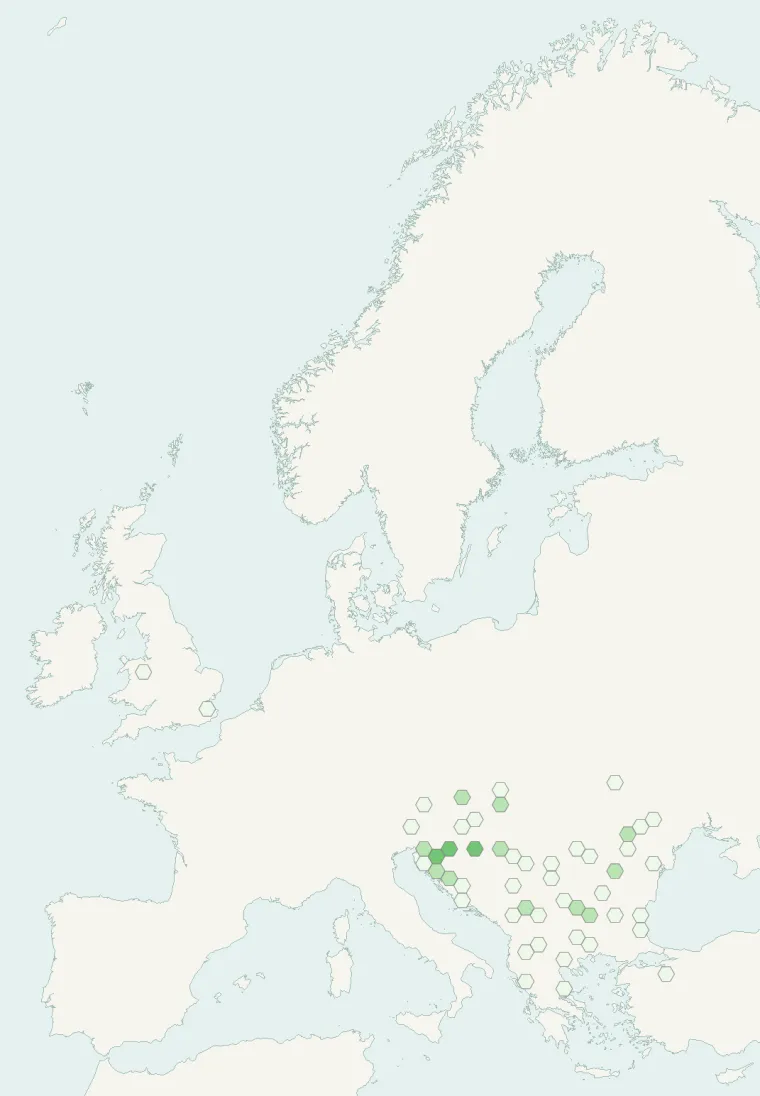
Records published on GBIF (CC0 and CC BY 4.0 licences): the darker the shade, the more records there are; they also reflect observation effort.
Atlas countries where it is recorded
From Wikipedia
Morimus funereus is a species of beetle in family Cerambycidae. It is found in Greece, North Macedonia, Albania, Kosovo, Belgium, Croatia, Slovenia, the Czech Republic, Germany, Hungary, Italy, Moldova, Romania, Bulgaria, Serbia, Montenegro, Slovakia, Ukraine, Türkiye and Bosnia and Herzegovina. It is somewhat similar to another cerambycid, Rosalia alpina, which however is narrower and has three pairs of black spots. Also Herophila tristis has a similar body shape and markings, but the antennal segments 2 and beyond are much shorter.
Source: Wikipedia, article “Morimus funereus” (version of October 3, 2025) · history and authors · licence CC BY-SA 4.0 · shortened excerpt
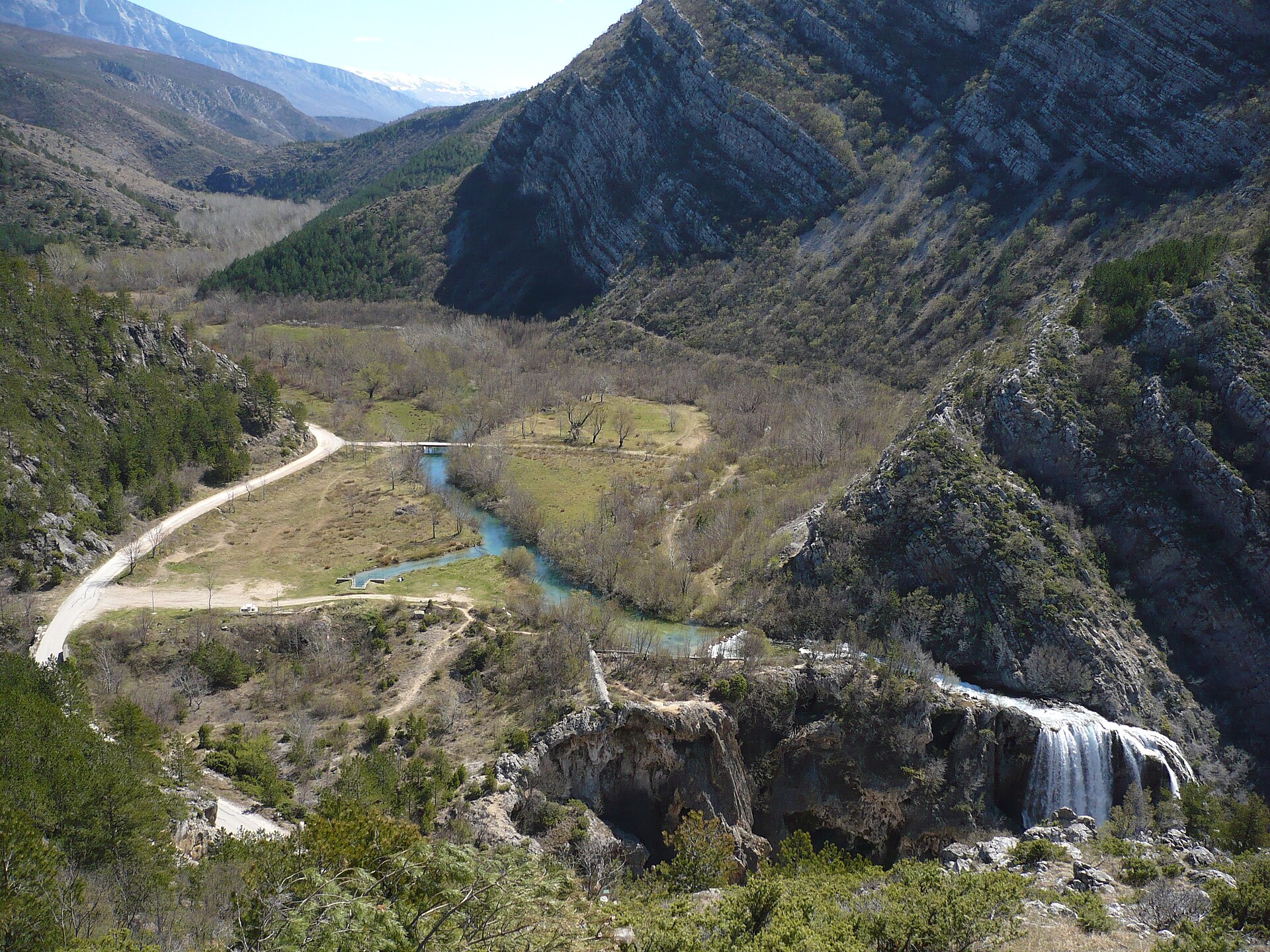
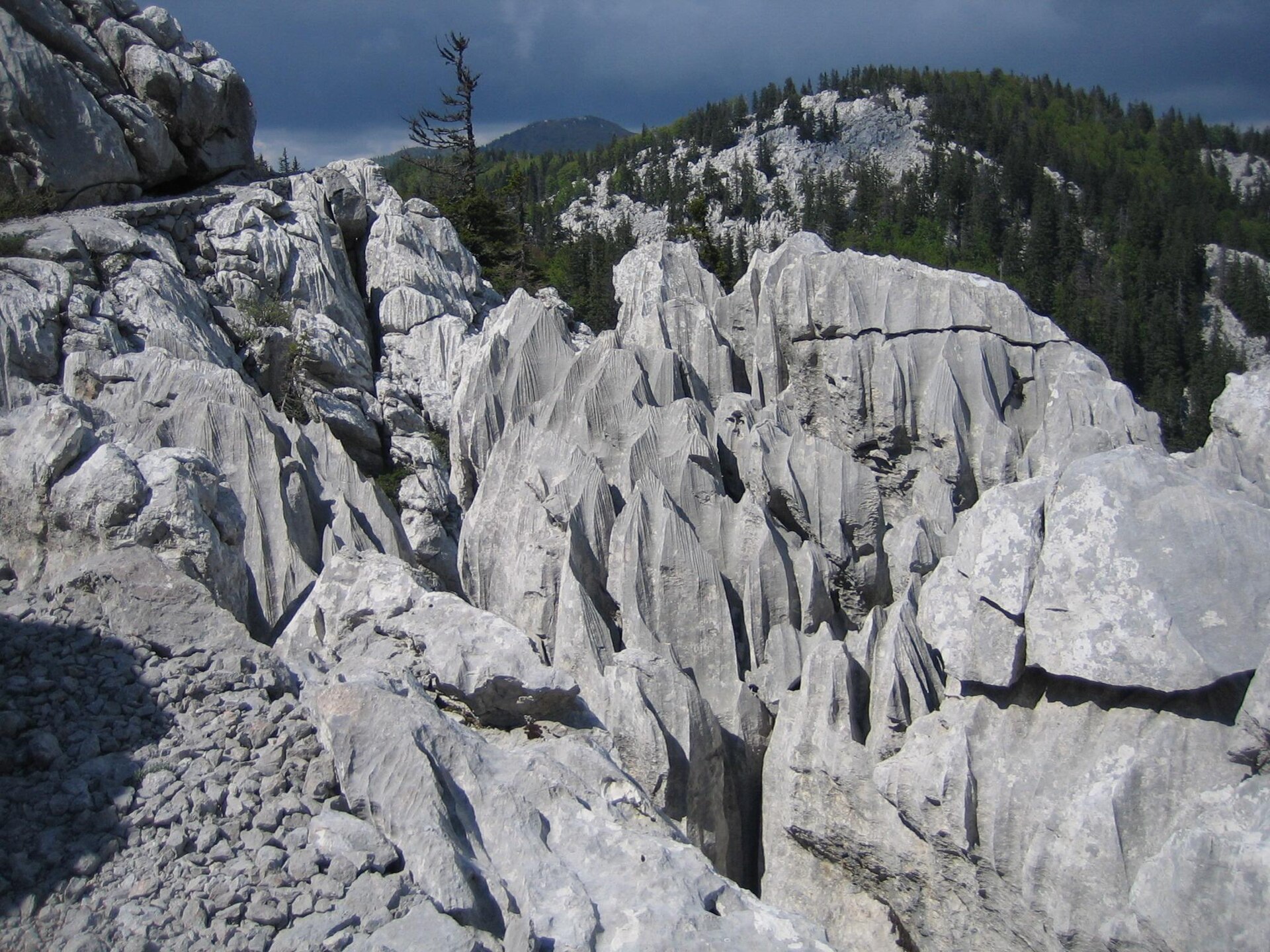
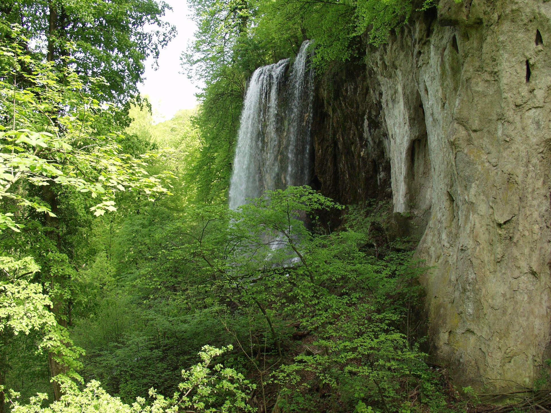
Protected areas where it is recorded
Natura 2000
Natura 2000
Natura 2000
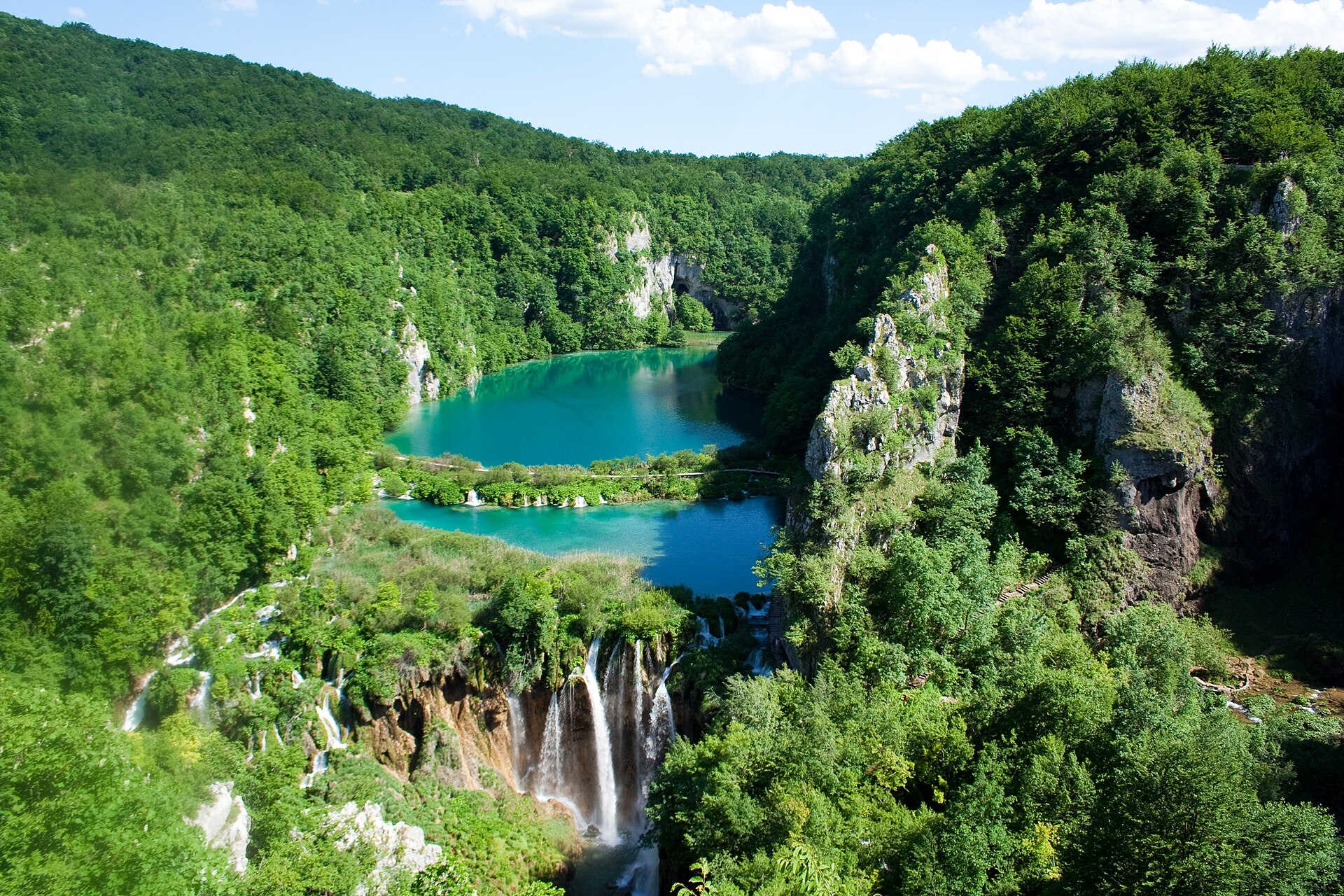
Natura 2000

Natura 2000

Natura 2000
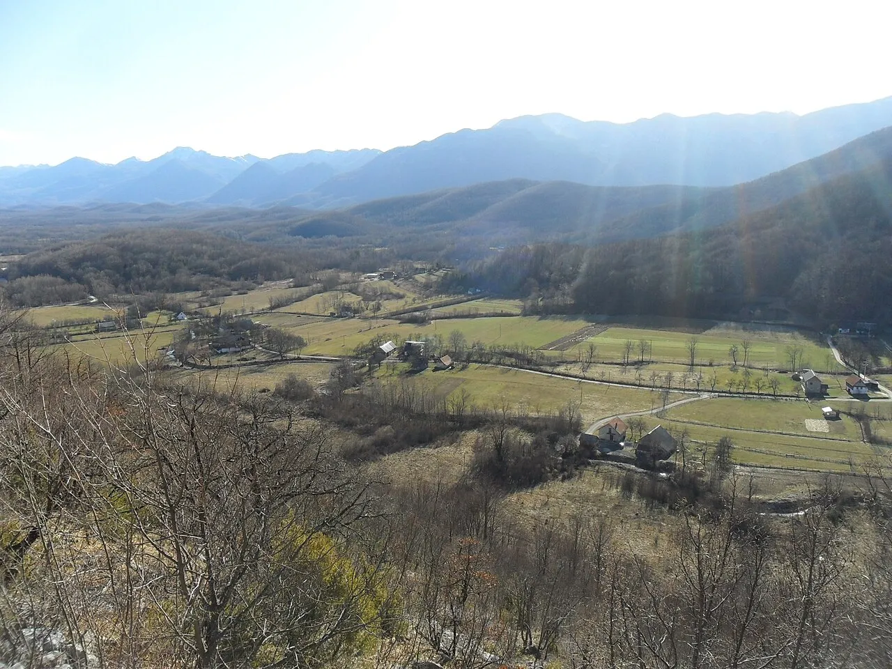
Natura 2000
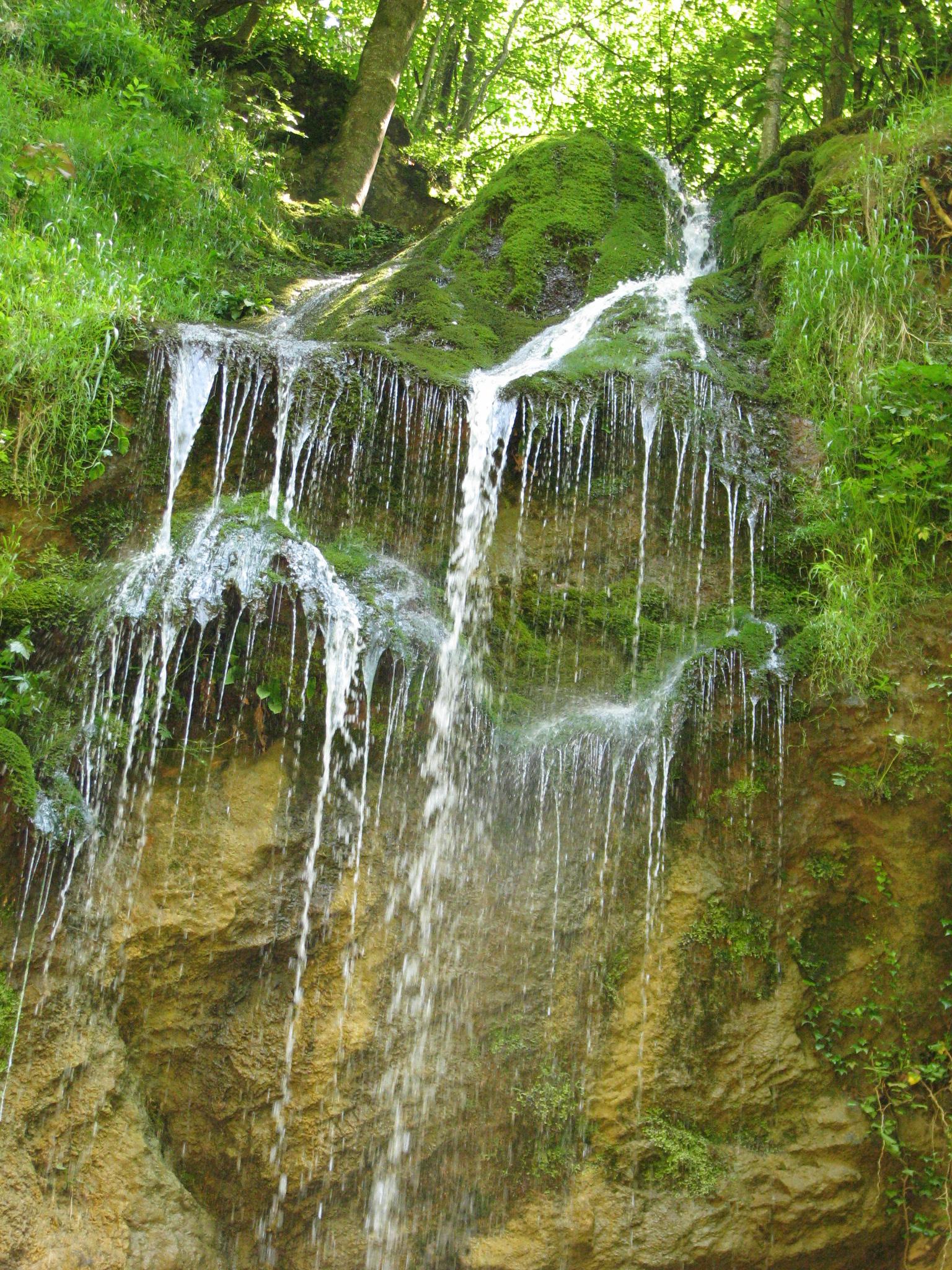
Natura 2000
Other species to discover
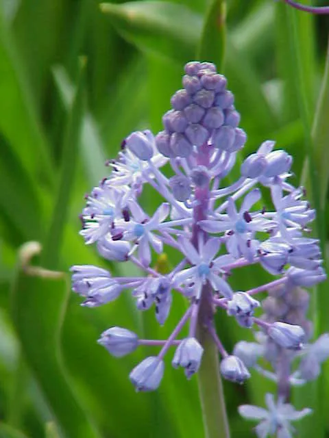 Dalmatian Scilla
Scilla litardierei 3 places in common
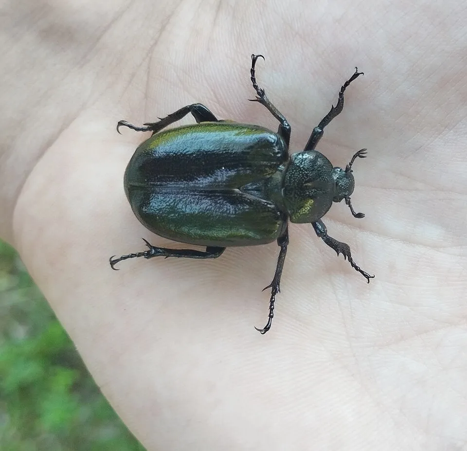 Eastern Hermit Beetle
Osmoderma barnabita 5 places in common
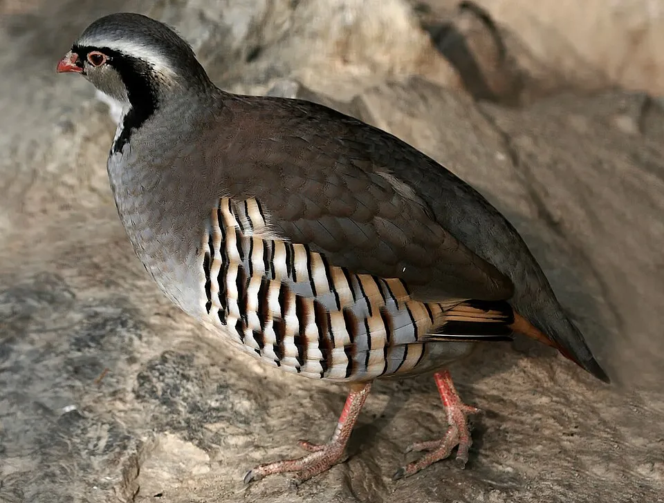 Rock Partridge
Alectoris graeca 5 places in common
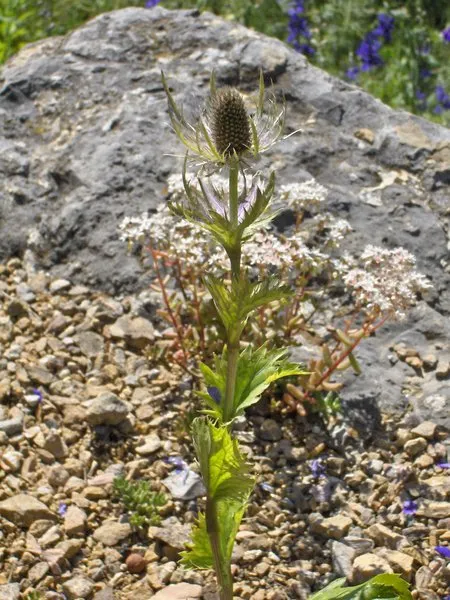 Alpine Sea Holly
Eryngium alpinum 3 places in common
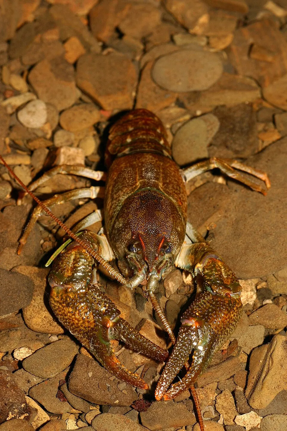 Stone crayfish
Austropotamobius torrentium 5 places in common
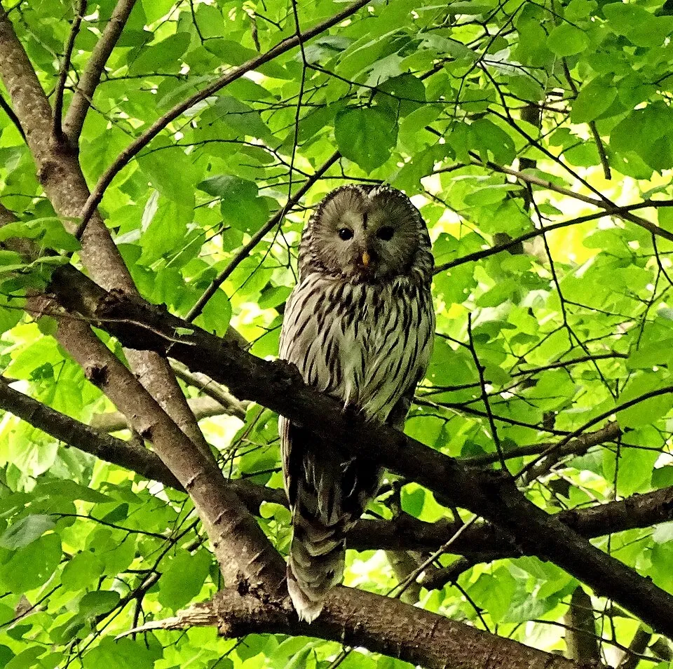 Ural Owl
Strix uralensis 5 places in common
Sources and credits
- Presence: most-recorded species of each place on GBIF and species of Community interest in the Natura 2000 forms (EEA, CC-BY 4.0); absence from the list does not mean the species is absent.
- Common names: Wikidata (CC0) and GBIF.
- Photos and sounds: Wikimedia Commons, author and licence given for each file.
- Classification: GBIF Backbone Taxonomy (GBIF Secretariat), CC BY 4.0, doi:10.15468/39omei.
- Countries, elevations, months and maps: GBIF.org, CC0 or CC BY 4.0 occurrences only, accessed October 22, 2026, GBIF.org.
- Base map: Natural Earth (public domain).
- Excerpt: Wikipedia, CC BY-SA 4.0 (full credit below the excerpt).
- Annexes: Directive 92/43/EEC (consolidated version), © European Union, EUR-Lex.