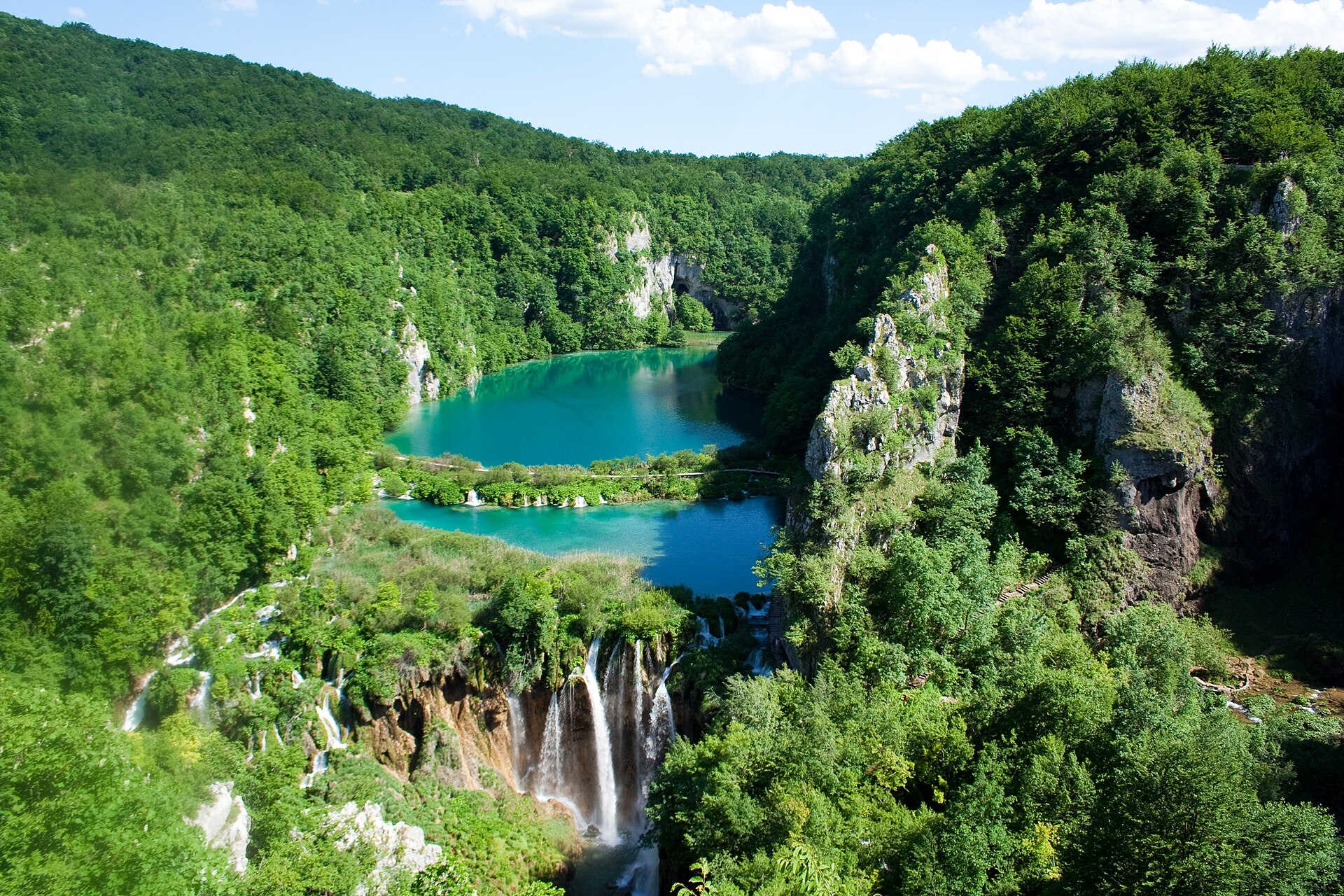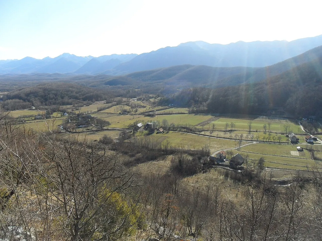

Croatia · Terrestrial
Velebit Nature Park
Nature park of 183,260 hectares in Croatia, established in 1981.
Overview
Nature park of 183,260 hectares in Croatia, established in 1981.
Velebit Nature Park is located in Croatia (Europe). It is a predominantly terrestrial area. Established on 24 July 1981, it covers about 183,260 hectares.
Protections and designations
UNESCO Biosphere Reserve
Natura 2000 · habitats (SAC) · 18 sites
- Cret na lokalitetu Vodice kod Petrašice HR2001317
- Kobilica HR2001399
- Krupa HR2000874
- Markova jama HR3000447
- Nacionalni park Paklenica HR2000871
- Nacionalni park Sjeverni Velebit HR2000605
- and 12 more
Natura 2000 · birds (SPA)
- Velebit HR1000022
Protected as a nature park. International labels and designations: UNESCO Biosphere Reserve (“Northern Velebit National Park”) and Natura 2000 network (19 sites). Key dates: established in 1981, Biosphere Reserve in 1999, first Natura 2000 site under the Birds Directive in 2013 and first Natura 2000 site under the Habitats Directive in 2014.
In our collections
Timeline
-
1981
Established
-
1999
UNESCO Biosphere Reserve Northern Velebit National Park
-
2013
First Natura 2000 site under the Birds Directive
-
2014
First Natura 2000 site under the Habitats Directive 18 such sites designated up to 2014
Sources: Wikidata (CC0) for establishment and international labels; EEA Natura 2000 database (CC-BY 4.0) for site designation dates.
Frequently asked questions
Where is Velebit Nature Park?
In Croatia (Europe). Representative point: 44.4830° N, 15.2370° E.
How large is Velebit Nature Park?
About 183,260 hectares (1,833 km²). It is the largest of the 13 nature parks in Croatia covered by Parkavela.
When was Velebit Nature Park established?
On 24 July 1981.
What habitats and landscapes does Velebit Nature Park include?
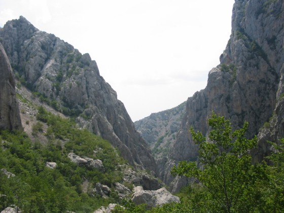
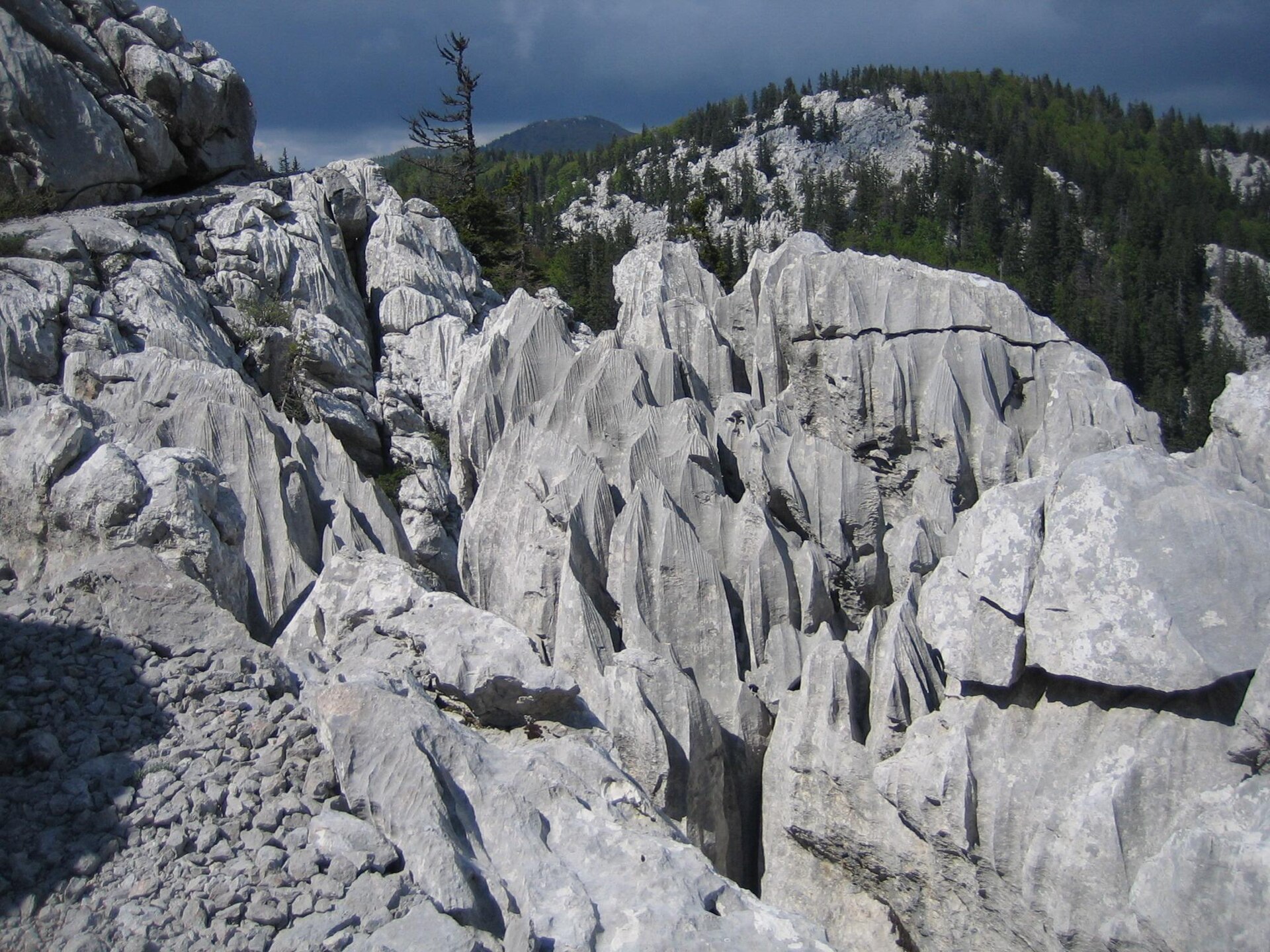
A terrestrial area, with forests and mountains.
What is the highest point of Velebit Nature Park?
Mali Rajinac, at 1,699 m (OpenStreetMap).
What are the main summits of Velebit Nature Park?
Mali Rajinac (1,699 m), Veliki Rajinac (1,667 m), Velebitska Plješevica (1,653 m), Vrbanski vrh (1,642 m) and Šatorina (1,624 m) (OpenStreetMap).
Which international labels apply to Velebit Nature Park?
UNESCO Biosphere Reserve (“Northern Velebit National Park”) and Natura 2000 network (19 sites).
When is the best time to visit Velebit Nature Park?
Best time to visit: from May to September, with average temperatures of 10 to 18 °C and moderate rainfall.
Is there snow in Velebit Nature Park?
Yes. According to NASA's MODIS satellites (2015–2025 average), snow covers the site about 30 days a year, mostly from December to February.
What is there to see in Velebit Nature Park?
3 caves, including Cerovačke špilje, Kapljuv and Špilja Modrič (29 m) (Wikidata).
Where can I stay in Velebit Nature Park?
4 mountain huts, including Planinarska kuća Kugina kuća (1,180 m), Planinarski dom Ravni dabar (723 m) and Planinarska kuća Vila Velebita (Wikidata).
Can you swim in Velebit Nature Park?
10 monitored bathing sites lie in or within 1 km of the site; official 2025 classification: 9 excellent (European Environment Agency). Swimming is only permitted at the sites and times authorised locally.
What is the nearest large city to Velebit Nature Park?
Nearest towns of over 50,000 people, as the crow flies: Zadar (26 km) and Bihać (48 km). Nearest airport: Zadar (ZAD), about 21 km away.
How can I reach Velebit Nature Park by train?
The nearest railway station is Perušić, about 14 km from the site boundary.
Where can I get visitor information on site?
Kuća Velebita, Babić Siča and Info Centar - Kuća Velebita Krasno.
Are there waymarked hiking trails in Velebit Nature Park?
Yes. Waymarked hiking routes listed in OpenStreetMap: 150, including Ljubotić, Via Adriatica, Camino Lika and Camino Zadar. The “Camino Lika” route runs for about 134 km through the site, with some 1,330 m of ascent on its longest section.
Which species can be seen in Velebit Nature Park?
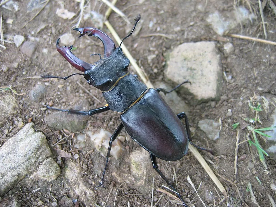
Among the species most often recorded on GBIF are Turdus merula (Common Blackbird), Fringilla coelebs (Eurasian Chaffinch), Lucanus cervus (Stag beetle) and Parus major (Great tit).
What is the official website of Velebit Nature Park?
© OpenStreetMap
Download the boundary: GeoJSON · GPX Boundary © OpenStreetMap contributors (ODbL).
Geography
The representative point of the site lies at around 1,183 m above sea level. Over the 1996–2025 period, the mean annual temperature is about 7.2 °C and total precipitation reaches roughly 1,316 mm per year. The warmest month is usually July, the coolest January, and the wettest November. The site contains 3 lakes larger than 10 ha, totalling 2.2 km² of water; the largest, Ricice Reservoir, covers 2.5 km² (HydroLAKES).
Area
- Area of the boundary
- 183,260 ha
- Elevation
- 1,183 m
- Median elevation
- 776 m
- Mean slope
- 13°
- Snow cover
- ≈ 30 days a year
- Lakes over 10 ha
- 3 (2.2 km²)
- Coordinates
- 44.483, 15.237
Terrain: Mapzen Terrain Tiles (SRTM, USGS) · Lakes: HydroLAKES (Messager et al. 2016, hydrosheds.org, CC BY 4.0) · depths: Wikidata (CC0)
Elevation bands
- below 500 m 24%
- 500–1,000 m 48%
- 1,000–1,500 m 28%
- 1,500–2,000 m 1%
share of the site in each elevation band (smoothed terrain model: summits are rounded off) · Terrain: Mapzen Terrain Tiles (SRTM, USGS)
Main summits
- Mali Rajinac1,699 m
- Veliki Rajinac1,667 m
- Velebitska Plješevica1,653 m
- Vrbanski vrh1,642 m
- Šatorina1,624 m
- Veliki Kozjak1,620 m
- Visočica1,619 m
- Malovan1,614 m
- Matijević brijeg1,611 m
- Bijace1,610 m
Data © OpenStreetMap contributors (ODbL)
Climate
● Mean temperature (°C) · ▮ Precipitation (mm)
Source: Copernicus ERA5-Land (C3S, doi:10.24381/cds.68d2bb30), monthly averages 1996–2025 interpolated to the representative point, temperatures adjusted for elevation.
Contains modified Copernicus Climate Change Service information 2026. Neither the European Commission nor ECMWF is responsible for any use that may be made of the Copernicus information or data it contains.
Snow cover measured by satellite
J
F
M
A
M
J
J
A
S
O
N
D
average share of the site under snow · snowiest parts · ≈ 30 days a year
Snow cover: MODIS/Terra MOD10CM v61 (Hall & Riggs, 2021, NASA NSIDC DAAC, doi:10.5067/MODIS/MOD10CM.061), imagery from NASA GIBS (ESDIS); 2015–2025 average, grid of about 5 km.
Natural habitats
According to CORINE Land Cover (2018), the site is mainly made up of forests (52%), grassland and meadows (18%) and heath and scrub (14%). Woodland is mostly broadleaved. Elevation ranges from about 130 m to 1,699 m (highest point: Mali Rajinac). Median elevation is 776 m, and 28% of the site lies above 1,000 m (SRTM elevation model). The 19 Natura 2000 sites overlapping the area list 20 habitats of European interest (4 priority), the most extensive being eastern sub-Mediterranean dry grasslands (Scorzoneratalia villosae), species-rich Nardus grasslands, on silicious substrates in mountain areas (and submountain areas in Continental Europe) and acidophilous Picea forests of the montane to alpine levels (Vaccinio-Piceetea).
Biodiversity
Based on occurrences aggregated by GBIF, several species are regularly recorded within the site. Among the most frequent are Turdus merula (Common Blackbird), Fringilla coelebs (Eurasian Chaffinch), Lucanus cervus (Stag beetle) and Parus major (Great tit). The full list of documented taxa is shown below. The overlapping Natura 2000 sites list 83 species of European interest: 31 birds, 16 mammals, 4 reptiles, 7 fish, 14 invertebrates and 11 plants.
Habitats of European interest
From the official forms of the 19 Natura 2000 sites overlapping the area (areas reported for each whole site).
- Eastern sub-Mediterranean dry grasslands (Scorzoneratalia villosae)
- Species-rich Nardus grasslands, on silicious substrates in mountain areas (and submountain areas in Continental Europe) priority
- Acidophilous Picea forests of the montane to alpine levels (Vaccinio-Piceetea)
- Calcareous rocky slopes with chasmophytic vegetation
- Illyrian Fagus sylvatica forests (Aremonio-Fagion)
- Caves not open to the public
- Semi-natural dry grasslands and scrubland facies on calcareous substrates (Festuco-Brometalia) (* important orchid sites)
- (Sub-) Mediterranean pine forests with endemic black pines priority
and 12 more
Species of European interest
Birds · 31
Common Sandpiper (Actitis hypoleucos) breeding, Boreal Owl (Aegolius funereus) resident, Rock Partridge (Alectoris graeca) resident, Tawny Pipit (Anthus campestris) breeding, Golden Eagle (Aquila chrysaetos) resident, Hazel Grouse (Bonasa bonasia) resident, Eurasian Eagle-owl (Bubo bubo) resident, European Nightjar (Caprimulgus europaeus) breeding, Short-toed Snake Eagle (Circaetus gallicus) breeding, Hen Harrier (Circus cyaneus) wintering, Corn Crake (Crex crex) breeding, White-backed Woodpecker (Dendrocopos leucotos) resident and 19 more
Mammals · 16
Barbastelle (Barbastella barbastellus), Grey wolf (Canis lupus), Balkan snow vole (Dinaromys bogdanovi), Eurasian otter (Lutra lutra), Eurasian Lynx (Lynx lynx), Common bent-wing bat (Miniopterus schreibersii), Bechstein's bat (Myotis bechsteinii), Lesser mouse-eared myotis (Myotis blythii), Long-fingered bat (Myotis capaccinii), Geoffroy's bat (Myotis emarginatus), Greater mouse-eared bat (Myotis myotis), Blasius's Horseshoe Bat (Rhinolophus blasii) and 4 more
Reptiles · 4
Four-lined snake (Elaphe quatuorlineata), Leopard snake (Elaphe situla), Hermann's tortoise (Testudo hermanni), Vipera ursinii macrops
Fish · 7
Italian bleak (Alburnus albidus), Italian Barbel (Barbus plebejus), Italian Spined Loach (Cobitis bilineata), European bullhead (Cottus gobio), Adriatic dwarf goby (Knipowitschia panizzae), Canestrini's goby (Pomatoschistus canestrinii), Croatian Pijor (Telestes croaticus)
Invertebrates · 14
White-clawed Crayfish (Austropotamobius pallipes), Stone crayfish (Austropotamobius torrentium), Greater Capricorn Beetle (Cerambyx cerdo), South Dinaric Cave Clam (Congeria kusceri), Marsh fritillary (Euphydryas aurinia), Jersey Tiger (Euplagia quadripunctaria), Leptodirus hochenwartii, Stag beetle (Lucanus cervus), Morimus asper funereus, Long-horned beetle (Morimus funereus), Dalmatian Ringlet (Proterebia afra dalmata), Rosalia longicorn (Rosalia alpina) and 2 more
Plants · 11
Aquilegia kitaibelii, Scopoli's Rockcress (Arabis scopoliana), Buxbaumia moss (Buxbaumia viridis), Cerastium dinaricum, Lady's-slipper orchid (Cypripedium calceolus), Velebit degenia (Degenia velebitica), Eleocharis carniolica, Alpine Sea Holly (Eryngium alpinum), Entire-Petalled Gorse (Genista holopetala), Greater Pasque Flower (Pulsatilla grandis), Dalmatian Scilla (Scilla litardierei)
Source: Natura 2000 standard data forms (EEA, CC-BY 4.0). Not exhaustive: sensitive species are not published.
Species to look out for


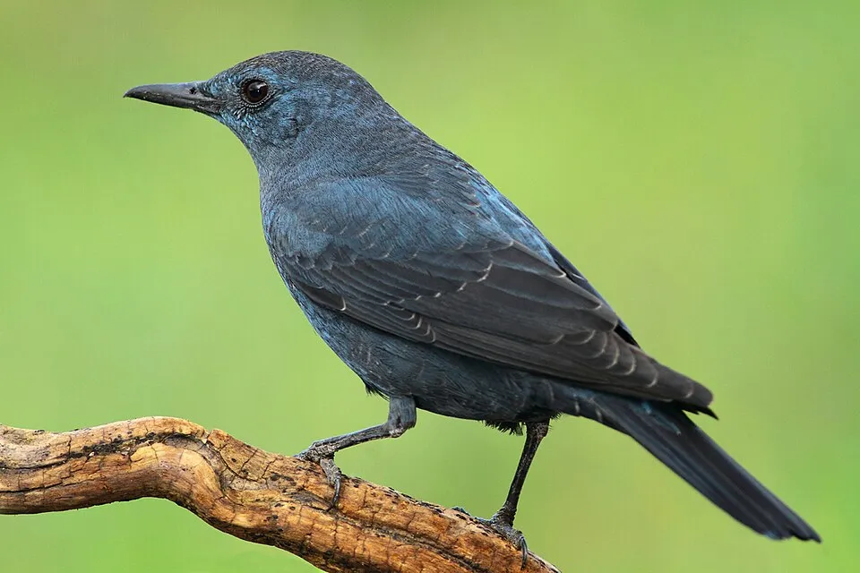
Bird
Blue Rock Thrush
Monticola solitarius301 records © jose maria carretero palacios from jerez de los caballeros, españa · CC BY 2.0
Observed species
Occurrences documented via GBIF; they are neither an exhaustive inventory nor proof of current presence.
- Common Blackbird · Turdus merula · 533
- Eurasian Chaffinch · Fringilla coelebs · 471
- Stag beetle · Lucanus cervus · 467
- Great tit · Parus major · 357
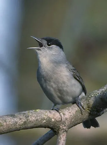
- Eurasian Blackcap · Sylvia atricapilla · 323
- Blue Rock Thrush · Monticola solitarius · 301
- Barn Swallow · Hirundo rustica · 299
- Western Rock Nuthatch · Sitta neumayer · 256
- Rock Dove · Columba livia · 249
- Red-backed Shrike · Lanius collurio · 235
- Yellow-legged Gull · Larus michahellis · 232
- Common House Martin · Delichon urbicum · 228
Records: GBIF.org (CC-BY). Names: Wikidata (CC0), GBIF. Photos: Wikimedia Commons.
Conservation challenges
The primary purpose of the site is to preserve its natural habitats and the biodiversity they support. The species recorded (Biodiversity tab) reflect its ecological value. The designations it holds frame its management and the control of land use.
According to Global Forest Change data (University of Maryland, Global Forest Watch), about 1,030 ha of tree cover were lost within the boundary between 2001 and 2023 (under 1% of its area), peaking in 2004 and 2023. These losses include logging, storms and fires, and do not account for regrowth. According to CORINE Land Cover, land cover here remained almost unchanged between 1990 and 2018 (less than 0.5% of the area affected); only some 320 ha were built over. Since 2016, the European EFFIS system (Copernicus) has mapped 18 fires here, burning about 8,077 ha within the boundary; the largest, in April 2020 (near Gračac), covered 4,959 ha. At night, the area gives off virtually no artificial light detectable from space (NASA VIIRS Black Marble composite, 2016). According to the Natura 2000 forms, of 20 assessed habitats of European interest, 11 are in excellent condition and 1 in average or reduced condition. According to the Water Framework Directive assessment (2022 river basin management plans, data 2016–2019), 81% of the 241 km of rivers assessed within the site are in good or high ecological status. Other assessed water bodies: lakes, 3 of 3 in good ecological status or better; coastal waters, 2 of 3 in good ecological status or better. Since 2000, 7 invasive alien species have been recorded within the site (GBIF observations), 2 of them listed as of Union concern under EU Regulation 1143/2014. Among them: Ailanthus altissima (Tree-of-heaven), Lepomis gibbosus (Pumpkinseed) and Harmonia axyridis (Asian Lady Beetle).
Pressure indicators
Tree cover lost
1,032 ha
2001–2023
20012023
Fires since 2016
8,077 ha
burned within the boundary (18 mapped fires)
- 2020 · Gračac · 4,959 ha
- 2017 · Jasenice · 1,610 ha
- 2017 · Jasenice · 668 ha
Light at night
< 1%
of the area gives off artificial light visible from space
DarkLit
Built-up land
< 1%
buildings, business areas, roads, quarries · farmland 3%
Land cover change
< 0.5%
of the area changed, 1990–2018 · CORINE
Rivers and lakes
81%
of the 241 km of assessed rivers in good or high ecological status · WFD 2022
Lakes: 3 of 3 good or better
Coastal waters: 2 of 3 good or better
assessments 2016–2019
Invasive alien species
7
incl. 2 of EU concern · since 2000
 Tree-of-heavenEU
 PumpkinseedEU
Asian Lady Beetle
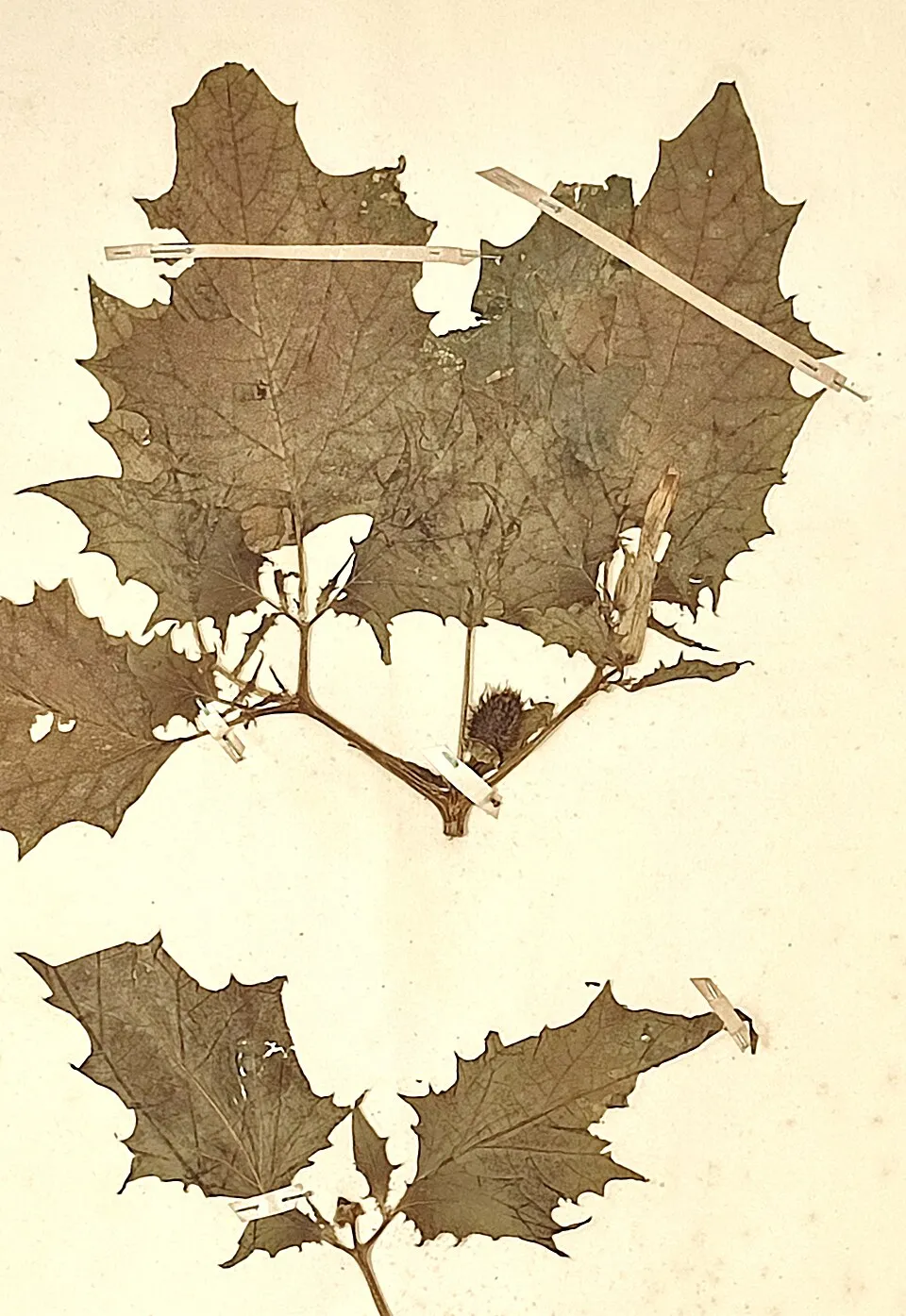 Jimsonweed
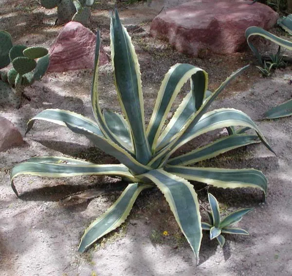 American century plant
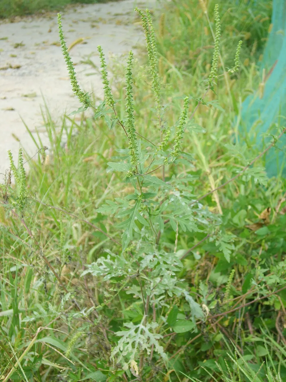 Annual ragweed
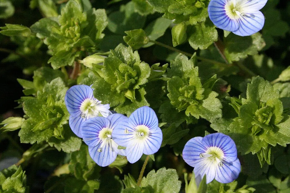 Common field-speedwell
Photos: Tree-of-heaven © Darkone · CC BY-SA 2.5; Pumpkinseed © Cephas · CC BY-SA 3.0; Jimsonweed © Giuseppe Frizzi · Public domain; American century plant © Stan Shebs · CC BY-SA 3.0; Annual ragweed © Dalgial · CC BY-SA 3.0; Common field-speedwell © Strobilomyces · CC BY-SA 3.0
Sources: Global Forest Change (Hansen et al., University of Maryland, via Global Forest Watch, CC-BY 4.0); EFFIS, European Commission / Copernicus; NASA Black Marble 2016 (public domain); CORINE Land Cover 2018 (Copernicus) or MODIS.
CORINE Land Cover Change 1990–2018: generated using European Union's Copernicus Land Monitoring Service information (EEA), aggregated by Parkavela; DOI 10.2909/f30f1000-7cf8-43bb-872c-5eb093911b24.
Ecological status of water bodies: European Environment Agency, WISE – Water Framework Directive, 3rd river basin management plans (2022), CC BY 4.0. Official national classification, not comparable between countries.
Invasive alien species: Global Register of Introduced and Invasive Species (ISSG, CC BY 4.0); Union list, Regulation (EU) 1143/2014 (INBO, CC0); GBIF.org records (CC0 / CC BY 4.0), at least 2 per species.
Practical information
Cities and airport
- Zadar
26 km as the crow flies - Bihać
48 km as the crow flies - Airport: Zadar (ZAD)
21 km as the crow flies
Visitor information
- Kuća Velebita
within the site - Babić Siča
within the site - Info Centar - Kuća Velebita Krasno
within the site - Turistički Informativni Centar Starigrad
within the site
Where to stay
4 mountain huts
- Planinarska kuća Kugina kuća
mountain hut · 1,180 m - Planinarski dom Ravni dabar
mountain hut · 723 m - Planinarska kuća Vila Velebita
mountain hut - Planinarsko sklonište Skorpovac
mountain hut
Hiking
150 waymarked routes listed, including:
LjubotićVia AdriaticaCamino LikaCamino ZadarStap
By bike
EV8 · 65 km N1 Nacionalna ruta N1 · 36 km
+ 6 local loops
Signed cycle routes: this does not mean that cycling is allowed on footpaths.
Wheelchair access
- Vratnik panoramic view
viewpoint
Reported by OpenStreetMap contributors (ODbL); check with the park before visiting.
Data © OpenStreetMap contributors (ODbL) · Wikidata (CC0)
Contains information from EuroVelo GPX tracks downloaded from www.EuroVelo.com on 2026-10-22, which is made available here under the Open Database License (ODbL). EuroVelo® is a registered trademark of the ECF. Routes © OpenStreetMap contributors (ODbL), via Waymarked Trails
Waymarked hiking routes
407 Ljubotić - Stap
5.9 km within the site ↗ 594 m↘ 17 m 285–870 m
up to T2 · mountain hiking
Via Adriatica #4: Oltari => Baške Oštarije
34.5 km within the site ↗ 880 m↘ 1,275 m 906–1,371 m
up to T2 · mountain hiking
Via Adriatica #5: Baške Oštarije => Prezid
70.7 km within the site ↗ 2,359 m↘ 1,956 m 835–1,591 m
Tracks © OpenStreetMap contributors (ODbL), clipped to the boundary; elevation gain and profiles computed on the longest section from Mapzen Terrain Tiles (≈ 30 m), indicative only. Indicative difficulty (SAC scale, OpenStreetMap, via Waymarked Trails): check with the park.
Bathing
10 monitored bathing sites in or within 1 km of the site · 2025 classification
Excellent · 9
Not classified · 1
- Hotel Alan · sea · Excellent
- Hotel Zagreb · sea · Excellent
- Jablanac (Banja - Grad Senj) · sea · Excellent
- Karlobag Gradska · sea · Excellent
- Lukovo Otočko · sea · Excellent
- Mulo Parića (Rt Pisak) · sea · Excellent
- Ribarica · sea · Excellent
- Starigrad · sea · Excellent
- Uvala Klada · sea · Excellent
- Uvala Duboka Krušćica · sea · Not classified
Source: European Environment Agency, official bathing water classification (Directive 2006/7/EC, CC-BY 4.0). Swimming is only permitted at the sites and times authorised locally.
Access and visiting
The nearest railway station is Perušić, about 14 km from the site boundary. Nearest towns of over 50,000 people, as the crow flies: Zadar (26 km) and Bihać (48 km). Nearest airport: Zadar (ZAD), about 21 km away. About 120,000 people live within 20 km of the site boundary, 56,000 of them within 10 km; some 6,600 people are estimated to live inside (GHSL estimate, 2020). This population has fallen by about 6% since 2000. Visitor information on site: Kuća Velebita, Babić Siča and Info Centar - Kuća Velebita Krasno. Waymarked hiking routes listed in OpenStreetMap: 150, including Ljubotić, Via Adriatica, Camino Lika and Camino Zadar. The EuroVelo 8 cycle route (Mediterranean Route) crosses the site for about 65 km, mostly developed and signed; another signed cycle route also passes through: “N1 Nacionalna ruta N1” (EuroVelo, OpenStreetMap). OpenStreetMap contributors list one wheelchair-accessible place: Vratnik panoramic view; check with the park before visiting. To see: 3 caves, including Cerovačke špilje, Kapljuv and Špilja Modrič (29 m). Where to stay: 4 mountain huts, including Planinarska kuća Kugina kuća (1,180 m), Planinarski dom Ravni dabar (723 m) and Planinarska kuća Vila Velebita. To plan a visit (access, opening periods, visitor rules), it is best to consult the official information from the managing body and the official website listed in this page's sources.
Source: OpenStreetMap (ODbL), Wikidata (CC0), October 2026.
When to visit
Best time to visit: from May to September, with average temperatures of 10 to 18 °C and moderate rainfall. Average temperatures drop below 0 °C from December to February: frost is common. Precipitation peaks in November (up to 180 mm per month). These averages apply to the site's representative point (1,183 m); higher up it is markedly cooler and snow lasts longer. According to NASA's MODIS satellites (2015–2025 average), snow covers the site about 30 days a year, mostly from December to February. Day length ranges from about 8 h 51 min in December to 15 h 32 min in June. Wildlife records published on GBIF peak for birds (May), plants (May and June), butterflies and moths (June), dragonflies (June and July) and mammals (July). These peaks also reflect when observers are most active.
Source: Copernicus ERA5-Land (C3S), monthly averages 1996–2025 at the representative point, temperatures adjusted for elevation.
Contains modified Copernicus Climate Change Service information 2026. Neither the European Commission nor ECMWF is responsible for any use that may be made of the Copernicus information or data it contains.
Wildlife records calendar
JFMAMJJASOND
Birds
Plants
Butterflies & moths
Dragonflies
Mammals
Monthly records published on GBIF (CC-BY), relative to the busiest month; also reflects observer activity.
Gallery
© Dragan Zeba · CC BY 3.0
© Miroslav.vajdic · CC BY-SA 4.0
© Christian Berg · CC BY 4.0
© Zoran Kurelić Rabko · CC BY-SA 3.0
© Zoran Kurelić Rabko · CC BY-SA 3.0
© Dragan Zeba · CC BY 3.0
Sources and licences
- Wikidata: Q6470901
- OpenStreetMap: relation 6722980
- Official website: https://pp-velebit.hr/
- Natura 2000: HR5000022
References
- cds.climate.copernicus.eu: climate · CC-BY-4.0
- registry.opendata.aws: elevation of the reference point, detailed relief · PD
- land.copernicus.eu: land cover, land cover change, sea share · COPERNICUS
- doi.org: population around the site · CC-BY-4.0
- openstreetmap.org: official name, access and peaks, wheelchair access · ODbL-1.0
- eea.europa.eu: bathing water quality, ecological status of waters · CC-BY-4.0
- en.eurovelo.com: EuroVelo cycle routes · ODbL-1.0
- cycling.waymarkedtrails.org: cycle routes · ODbL-1.0
- opentopodata.org: elevations · PD
- wikidata.org: establishment date, nearby cities and airport, access and peaks, lake depths, places to see, official website · CC0-1.0
- forest-fire.emergency.copernicus.eu: wildfires · COPERNICUS
- globalforestwatch.org: tree cover loss · CC-BY-4.0
- gbif.org: seasonality of sightings, invasive alien species, observed species · CC-BY-4.0
- hydrosheds.org: lakes · CC-BY-4.0
- natura2000.eea.europa.eu: Natura 2000 habitats and species · CC-BY-4.0
- earthobservatory.nasa.gov: night light · PD
- hiking.waymarkedtrails.org: route difficulty · ODbL-1.0
- nsidc.org: snow cover · PD
Data © OpenStreetMap contributors (ODbL), Wikidata (CC0) and the sources cited.