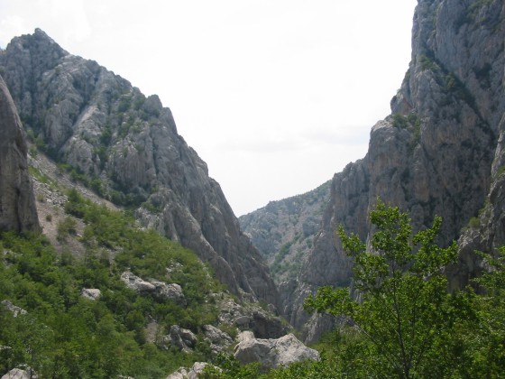
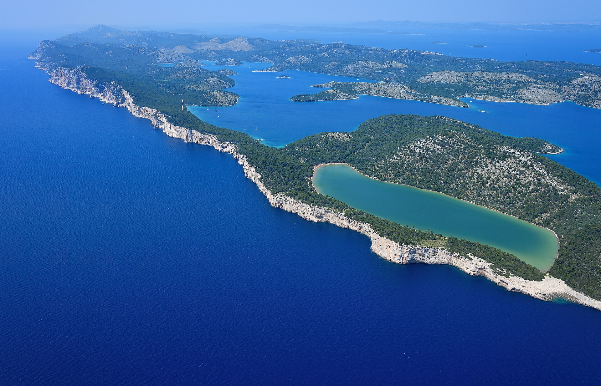
Croatia · Terrestrial
Krka National Park
National park of 11,064 hectares in Croatia, established in 1985.
Overview
National park of 11,064 hectares in Croatia, established in 1985.
Krka National Park is located in Croatia (Europe). It is a predominantly terrestrial area. Established in 1985, it covers about 11,064 hectares.
Protections and designations
Natura 2000 · habitats (SAC)
- Šire područje NP Krka HR2000918
Natura 2000 · birds (SPA)
- Krka i okolni plato HR1000026
Protected as a national park. International labels and designations: Natura 2000 network (2 sites). Key dates: established in 1985, first Natura 2000 site under the Birds Directive in 2013 and first Natura 2000 site under the Habitats Directive in 2014.
In our collections
Timeline
-
1985
Established
-
2013
First Natura 2000 site under the Birds Directive
-
2014
First Natura 2000 site under the Habitats Directive
Sources: Wikidata (CC0) for establishment and international labels; EEA Natura 2000 database (CC-BY 4.0) for site designation dates.
Frequently asked questions
Where is Krka National Park?
In Croatia (Europe). Representative point: 43.7816° N, 15.9851° E.
How large is Krka National Park?
About 11,064 hectares (111 km²). It is the 3rd largest of the 8 national parks in Croatia covered by Parkavela.
When was Krka National Park established?
In 1985.
What habitats and landscapes does Krka National Park include?
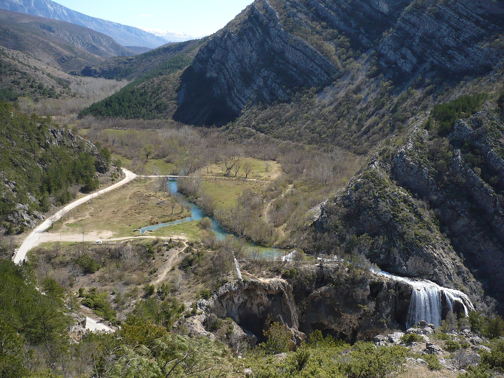
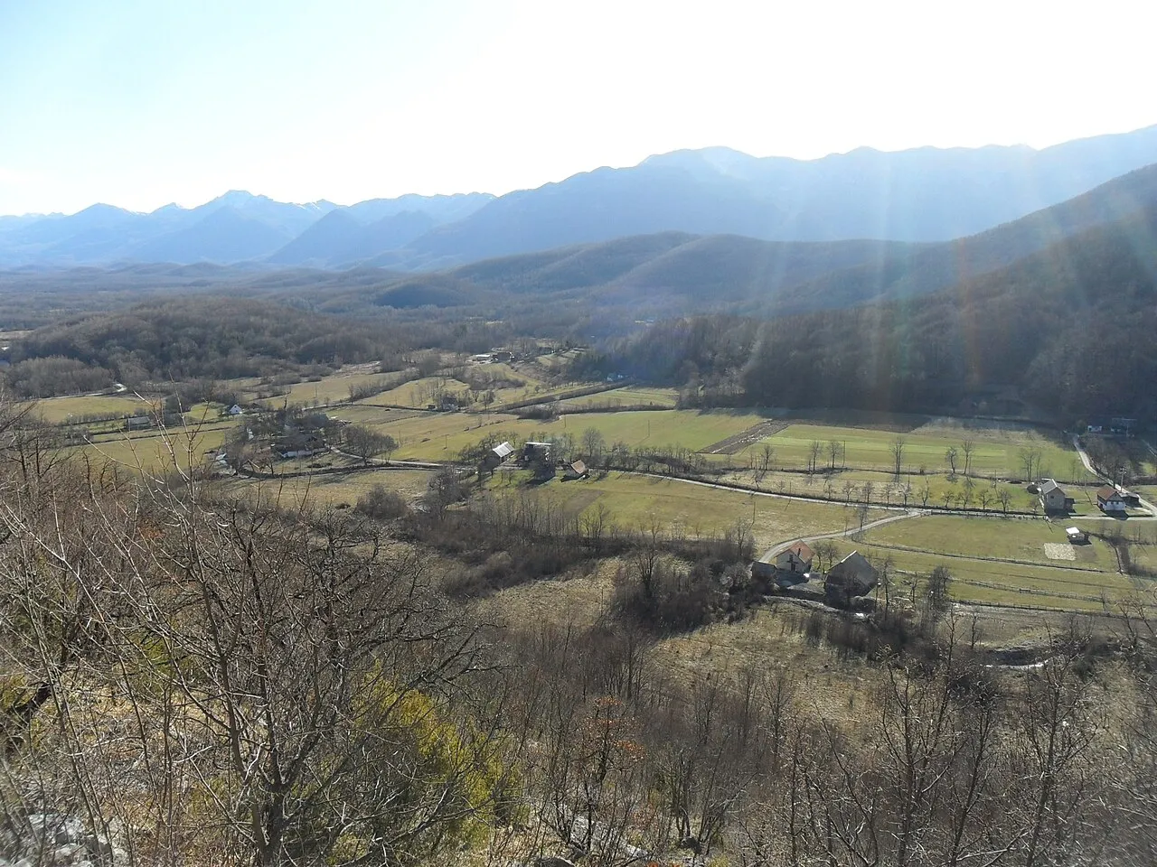
A terrestrial area, with forests.
What are the main summits of Krka National Park?
Kosa (244 m), Gradina (243 m), Zaskok (234 m), Veliki Debeljak (233 m) and Glavica (199 m) (OpenStreetMap).
Which international labels apply to Krka National Park?
Natura 2000 network (2 sites).
When is the best time to visit Krka National Park?
Best time to visit: from April to October, with average temperatures of 12 to 25 °C and moderate rainfall.
What is there to see in Krka National Park?
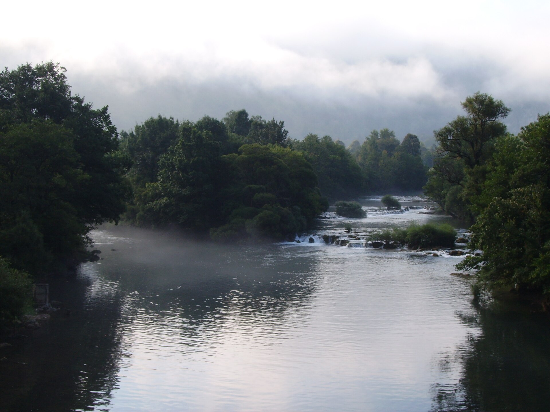
38 viewpoints, 29 waterfalls, 5 lakes and ponds and 4 caves, including Dračevica, Bilušića buk, Brljanasko jezero and Mišja peć (OpenStreetMap).
Where can I stay in Krka National Park?
2 campsites, including Camp "Slapovi Krke" and Kamp Vrata Krke (OpenStreetMap).
Can you swim in Krka National Park?
One monitored bathing site lies in or within 1 km of the site; official 2025 classification: 1 excellent (European Environment Agency). Swimming is only permitted at the sites and times authorised locally.
What is the nearest large city to Krka National Park?
Nearest towns of over 50,000 people, as the crow flies: Split (47 km) and Zadar (62 km). Nearest airport: Saint Jerome (SPU), about 37 km away.
How can I reach Krka National Park by train?
The nearest railway station is Knin, about 3 km from the site boundary.
Where can I get visitor information on site?
Ulaz Lozovac, Recepcija and Izleti brodom.
Which species can be seen in Krka National Park?
Among the species most often recorded on GBIF are Anas platyrhynchos (Mallard), Fringilla coelebs (Eurasian Chaffinch), Cygnus olor (Mute Swan) and Larus michahellis (Yellow-legged Gull).
What is the official website of Krka National Park?
© OpenStreetMap
Download the boundary: GeoJSON · GPX Boundary © OpenStreetMap contributors (ODbL).
Geography
The representative point of the site lies at around 184 m above sea level. Over the 1996–2025 period, the mean annual temperature is about 14.5 °C and total precipitation reaches roughly 1,028 mm per year. The warmest month is usually July, the coolest January, and the wettest November. The site contains 2 lakes larger than 10 ha, totalling 7.2 km² of water; the largest, Visovačko jezero, covers 7.0 km² (HydroLAKES). Visovačko jezero (790 ha) is 55 m deep (Wikidata).
Area
- Area
- 11,064 ha
- Elevation
- 184 m
- Mean slope
- 9°
- Lakes over 10 ha
- 2 (7.2 km²)
- Coordinates
- 43.7816, 15.9851
Terrain: Mapzen Terrain Tiles (SRTM, USGS) · Lakes: HydroLAKES (Messager et al. 2016, hydrosheds.org, CC BY 4.0) · depths: Wikidata (CC0)
Main summits
- Kosa244 m
- Gradina243 m
- Zaskok234 m
- Veliki Debeljak233 m
- Glavica199 m
- Mali Debeljak196 m
- Žurića brdo195 m
Data © OpenStreetMap contributors (ODbL)
Climate
● Mean temperature (°C) · ▮ Precipitation (mm)
Source: Copernicus ERA5-Land (C3S, doi:10.24381/cds.68d2bb30), monthly averages 1996–2025 interpolated to the representative point, temperatures adjusted for elevation.
Contains modified Copernicus Climate Change Service information 2026. Neither the European Commission nor ECMWF is responsible for any use that may be made of the Copernicus information or data it contains.
Natural habitats
According to CORINE Land Cover (2018), the site is mainly made up of heath and scrub (24%), grassland and meadows (19%) and forests (17%). Elevation ranges from about 40 to 340 m (sampled elevations, SRTM).
Biodiversity
Based on occurrences aggregated by GBIF, several species are regularly recorded within the site. Among the most frequent are Anas platyrhynchos (Mallard), Fringilla coelebs (Eurasian Chaffinch), Cygnus olor (Mute Swan) and Larus michahellis (Yellow-legged Gull). The full list of documented taxa is shown below. The overlapping Natura 2000 sites list 64 species of European interest: 42 birds, 11 mammals, 3 reptiles, 1 amphibian, 4 fish, 2 invertebrates and 1 plant.
Species of European interest
Birds · 42
Moustached Warbler (Acrocephalus melanopogon) wintering, Common Kingfisher (Alcedo atthis) breeding wintering, Rock Partridge (Alectoris graeca) resident, Eurasian Teal (Anas crecca) passage wintering, Mallard (Anas platyrhynchos) passage wintering, Tawny Pipit (Anthus campestris) breeding, Golden Eagle (Aquila chrysaetos) resident, Common Pochard (Aythya ferina) wintering, Tufted Duck (Aythya fuligula) wintering, Eurasian Bittern (Botaurus stellaris) breeding passage wintering, Eurasian Eagle-owl (Bubo bubo) resident, Eurasian Stone-curlew (Burhinus oedicnemus) breeding and 30 more
Mammals · 11
Eurasian otter (Lutra lutra), Common bent-wing bat (Miniopterus schreibersii), Bechstein's bat (Myotis bechsteinii), Lesser mouse-eared myotis (Myotis blythii), Long-fingered bat (Myotis capaccinii), Geoffroy's bat (Myotis emarginatus), Greater mouse-eared bat (Myotis myotis), Blasius's Horseshoe Bat (Rhinolophus blasii), Mediterranean Horseshoe Bat (Rhinolophus euryale), Greater Horseshoe Bat (Rhinolophus ferrumequinum), Lesser horseshoe bat (Rhinolophus hipposideros)
Reptiles · 3
European Pond Turtle (Emys orbicularis), Hermann's tortoise (Testudo hermanni), European ratsnake (Zamenis situla)
Amphibians · 1
Fish · 4
Dalmatian barbelgudgeon (Aulopyge huegelii), Italian Barbel (Barbus plebejus), Dalmatian Minnow (Phoxinellus dalmaticus), Canestrini's goby (Pomatoschistus canestrinii)
Invertebrates · 2
Lesser Ramshorn Snail (Anisus vorticulus), White-clawed Crayfish (Austropotamobius pallipes)
Plants · 1
Source: Natura 2000 standard data forms (EEA, CC-BY 4.0). Not exhaustive: sensitive species are not published.
Species to look out for





Observed species
Occurrences documented via GBIF; they are neither an exhaustive inventory nor proof of current presence.
- Mallard · Anas platyrhynchos · 301
- Eurasian Chaffinch · Fringilla coelebs · 226
- Mute Swan · Cygnus olor · 206
- Yellow-legged Gull · Larus michahellis · 205
- Common Blackbird · Turdus merula · 172
- Great tit · Parus major · 167
- Great Cormorant · Phalacrocorax carbo · 151
- Pygmy Cormorant · Microcarbo pygmaeus · 148
- Grey Heron · Ardea cinerea · 124
- Eurasian Blackcap · Sylvia atricapilla · 105
- Barn Swallow · Hirundo rustica · 104
- House Sparrow · Passer domesticus · 90
+18 more species
- Common House Martin · Delichon urbicum · 86
- Grey Wagtail · Motacilla cinerea · 85
- Little Grebe · Tachybaptus ruficollis · 76
- Common Kingfisher · Alcedo atthis · 71
- European robin · Erithacus rubecula · 64
- Eurasian Collared Dove · Streptopelia decaocto · 62
- Eurasian blue tit · Cyanistes caeruleus · 61
- Eurasian Golden Oriole · Oriolus oriolus · 59
- Banded Demoiselle · Calopteryx splendens · 52
- Common Coot · Fulica atra · 47
- Cetti's Warbler · Cettia cetti · 44
- Eurasian Jay · Garrulus glandarius · 44
- Black-headed Gull · Chroicocephalus ridibundus · 44
- Rock Dove · Columba livia · 42
- Sowbread · Cyclamen hederifolium · 42
- Common Swift · Apus apus · 41
- Fig · Ficus carica · 39
- European Goldfinch · Carduelis carduelis · 37
Records: GBIF.org (CC-BY). Names: Wikidata (CC0), GBIF. Photos: Wikimedia Commons.
Conservation challenges
The primary purpose of the site is to preserve its natural habitats and the biodiversity they support. The species recorded (Biodiversity tab) reflect its ecological value. The designations it holds frame its management and the control of land use.
According to Global Forest Change data (University of Maryland, Global Forest Watch), about 44 ha of tree cover were lost within the boundary between 2001 and 2023 (under 1% of its area), peaking in 2017 and 2018. These losses include logging, storms and fires, and do not account for regrowth. According to the European CORINE Land Cover inventory (Copernicus), land cover changed on about 363 ha of the site between 1990 and 2018 (3% of its area). Since 2016, the European EFFIS system (Copernicus) has mapped 8 fires here, burning about 1,564 ha within the boundary; the largest, in August 2017 (near Kistanje), covered 864 ha. At night, the area gives off virtually no artificial light detectable from space (NASA VIIRS Black Marble composite, 2016). According to the Water Framework Directive assessment (2022 river basin management plans, data 2016–2019), 71% of the 59 km of rivers assessed within the site are in good or high ecological status. Other assessed water bodies: lakes, 1 of 2 in good ecological status or better. Since 2000, 5 invasive alien species have been recorded within the site (GBIF observations), 2 of them listed as of Union concern under EU Regulation 1143/2014. Among them: Ailanthus altissima (Tree-of-heaven), Lepomis gibbosus (Pumpkinseed) and Arundo donax (Giant Reed).
Pressure indicators
Tree cover lost
44 ha
2001–2023 · < 1% of the area
20012023
Fires since 2016
1,564 ha
burned within the boundary (8 mapped fires)
- 2017 · Kistanje · 864 ha
- 2024 · Skradin · 374 ha
- 2017 · Knin · 130 ha
Light at night
< 1%
of the area gives off artificial light visible from space
DarkLit
Built-up land
< 1%
buildings, business areas, roads, quarries · farmland 12%
Land cover change
363 ha
changed cover, 1990–2018 · CORINE · 3% of the area
Rivers and lakes
71%
of the 59 km of assessed rivers in good or high ecological status · WFD 2022
Lakes: 1 of 2 good or better
assessments 2016–2019
Invasive alien species
5
incl. 2 of EU concern · since 2000
 Tree-of-heaven
 Pumpkinseed
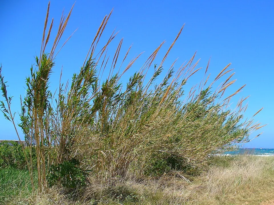 Giant Reed
 Black locust
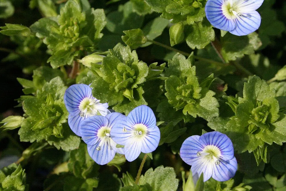 Common field-speedwell
Photos: Tree-of-heaven © Darkone · CC BY-SA 2.5; Pumpkinseed © Cephas · CC BY-SA 3.0; Giant Reed © H. Zell · CC BY-SA 3.0; Black locust © This Photo was taken by Wolfgang Moroder. Feel free to use my photos, but please mention me as the author and send me a message. This image is not in the public domain. Please respect the copyright protection. It may only be used according… · CC BY-SA 3.0; Common field-speedwell © Strobilomyces · CC BY-SA 3.0
Sources: Global Forest Change (Hansen et al., University of Maryland, via Global Forest Watch, CC-BY 4.0); EFFIS, European Commission / Copernicus; NASA Black Marble 2016 (public domain); CORINE Land Cover 2018 (Copernicus) or MODIS.
CORINE Land Cover Change 1990–2018: generated using European Union's Copernicus Land Monitoring Service information (EEA), aggregated by Parkavela; DOI 10.2909/f30f1000-7cf8-43bb-872c-5eb093911b24.
Ecological status of water bodies: European Environment Agency, WISE – Water Framework Directive, 3rd river basin management plans (2022), CC BY 4.0. Official national classification, not comparable between countries.
Invasive alien species: Global Register of Introduced and Invasive Species (ISSG, CC BY 4.0); Union list, Regulation (EU) 1143/2014 (INBO, CC0); GBIF.org records (CC0 / CC BY 4.0), at least 2 per species.
Practical information
Cities and airport
- Split
47 km as the crow flies - Zadar
62 km as the crow flies - Airport: Saint Jerome (SPU)
37 km as the crow flies
Visitor information
- Ulaz Lozovac
within the site - Recepcija
within the site - Izleti brodom
within the site - Nacionalni park Krka
< 1 km from the site boundary
Parking
18 public car parks listed within the site
Things to see
38 viewpoints · 29 waterfalls · 5 lakes and ponds · 4 caves
- Dračevica
viewpoint - Bilušića buk
waterfall - Brljanasko jezero
lake or pond - Mišja peć
cave - Ključica vidikovac
viewpoint
By bike
+ 10 local loops
Signed cycle routes: this does not mean that cycling is allowed on footpaths.
Data © OpenStreetMap contributors (ODbL) · Wikidata (CC0)
Routes © OpenStreetMap contributors (ODbL), via Waymarked Trails
Bathing
1 monitored bathing site in or within 1 km of the site · 2025 classification
Excellent · 1
- Skradin mjesto · estuary or lagoon · Excellent
Source: European Environment Agency, official bathing water classification (Directive 2006/7/EC, CC-BY 4.0). Swimming is only permitted at the sites and times authorised locally.
Access and visiting
The nearest railway station is Knin, about 3 km from the site boundary. Nearest towns of over 50,000 people, as the crow flies: Split (47 km) and Zadar (62 km). Nearest airport: Saint Jerome (SPU), about 37 km away. About 92,000 people live within 20 km of the site boundary, 60,000 of them within 10 km; some 1,000 people are estimated to live inside (GHSL estimate, 2020). This population has fallen by about 15% since 2000. Visitor information on site: Ulaz Lozovac, Recepcija and Izleti brodom. Public car parks listed within the site: 18. To see: 38 viewpoints, 29 waterfalls, 5 lakes and ponds and 4 caves, including Dračevica, Bilušića buk, Brljanasko jezero and Mišja peć. Where to stay: 2 campsites, including Camp "Slapovi Krke" and Kamp Vrata Krke. To plan a visit (access, opening periods, visitor rules), it is best to consult the official information from the managing body and the official website listed in this page's sources.
Source: OpenStreetMap (ODbL), Wikidata (CC0), October 2026.
When to visit
Best time to visit: from April to October, with average temperatures of 12 to 25 °C and moderate rainfall. Precipitation peaks in November (up to 160 mm per month). Day length ranges from about 8 h 56 min in December to 15 h 26 min in June. Wildlife records published on GBIF peak for plants (April and May), butterflies and moths (June and July) and dragonflies (from May to July). These peaks also reflect when observers are most active.
Source: Copernicus ERA5-Land (C3S), monthly averages 1996–2025 at the representative point, temperatures adjusted for elevation.
Contains modified Copernicus Climate Change Service information 2026. Neither the European Commission nor ECMWF is responsible for any use that may be made of the Copernicus information or data it contains.
Wildlife records calendar
JFMAMJJASOND
Birds
Plants
Butterflies & moths
Dragonflies
Monthly records published on GBIF (CC-BY), relative to the busiest month; also reflects observer activity.
Gallery
© Matea Bolčević · CC BY-SA 4.0
© Draceane · CC BY-SA 4.0
© Matea Bolčević · CC BY-SA 4.0
© Marko Jukić -Majkl · CC BY-SA 4.0
© Nerijp · CC BY-SA 3.0
© Alicia Fagerving · CC BY-SA 4.0
Sources and licences
- Wikidata: Q828155
- OpenStreetMap: relation 14680547
- Official website: https://www.npkrka.hr/
- Wikipedia: en.wikipedia.org/wiki/Krka_National_Park
- WDPA: 3373
References
- cds.climate.copernicus.eu: climate · CC-BY-4.0
- registry.opendata.aws: elevation of the reference point, detailed relief · PD
- land.copernicus.eu: land cover, land cover change, sea share · COPERNICUS
- doi.org: population around the site · CC-BY-4.0
- wikidata.org: official area, establishment date, nearby cities and airport, access and peaks, lake depths, places to see, official website · CC0-1.0
- eea.europa.eu: bathing water quality, ecological status of waters · CC-BY-4.0
- en.eurovelo.com: EuroVelo cycle routes · ODbL-1.0
- cycling.waymarkedtrails.org: cycle routes · ODbL-1.0
- opentopodata.org: elevations · PD
- forest-fire.emergency.copernicus.eu: wildfires · COPERNICUS
- globalforestwatch.org: tree cover loss · CC-BY-4.0
- gbif.org: seasonality of sightings, invasive alien species, observed species · CC-BY-4.0
- hydrosheds.org: lakes · CC-BY-4.0
- natura2000.eea.europa.eu: Natura 2000 habitats and species · CC-BY-4.0
- openstreetmap.org: official name, access and peaks, places to see, trail difficulty, wheelchair access · ODbL-1.0
- earthobservatory.nasa.gov: night light · PD
- nsidc.org: snow cover · PD
- wikidata.org: Wikipedia article · CC-BY-SA-4.0
Data © OpenStreetMap contributors (ODbL), Wikidata (CC0) and the sources cited.