
Fungus
Lungwort: where to see it
Lobaria pulmonaria
This fungus species is recorded in 7 protected areas of the atlas. Within the atlas countries, it is mostly observed in Sweden, Norway and the United Kingdom (6 countries in all). Most records (8 in 10) lie between 80 and 1,350 m above sea level. Records peak from June to October.
Best time to see it: June–October
Records published on GBIF by month (CC0 and CC BY 4.0 licences only), in the atlas countries, all years combined; they also reflect observer activity.
Distribution
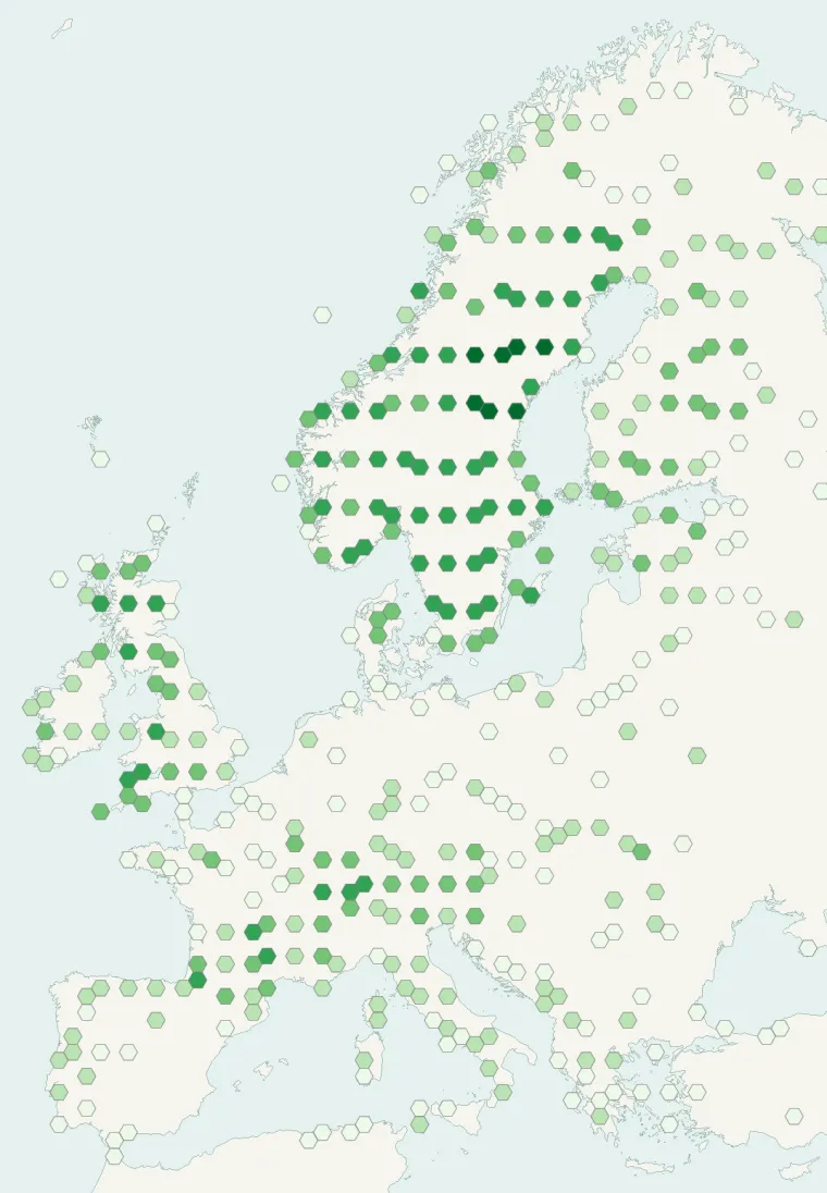
Records published on GBIF (CC0 and CC BY 4.0 licences): the darker the shade, the more records there are; they also reflect observation effort.
Atlas countries where it is recorded
From Wikipedia
Lobaria pulmonaria is a large epiphytic lichen consisting of an ascomycete fungus and a green algal partner living together in a symbiotic relationship with a cyanobacterium-a symbiosis involving members of three kingdoms of organisms. Commonly known by various names like tree lungwort, lung lichen, lung moss, lungwort lichen, oak lungs or oak lungwort, it is sensitive to air pollution and is also harmed by habitat loss and changes in forestry practices. Its population has declined across Europe and L. pulmonaria is considered endangered in many lowland areas.
Source: Wikipedia, article “Lobaria pulmonaria” (version of October 7, 2026) · history and authors · licence CC BY-SA 4.0 · shortened excerpt
Protected areas where it is recorded
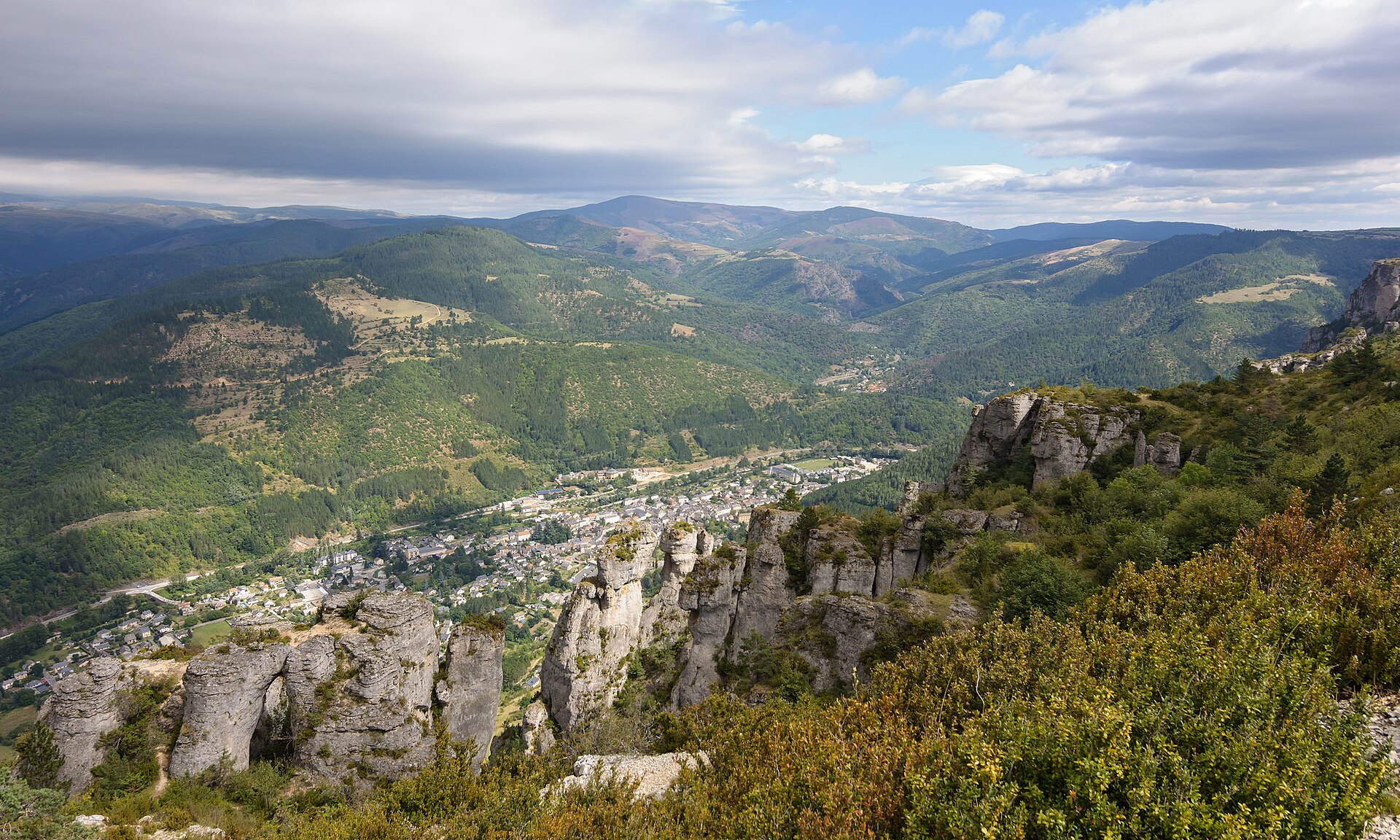
3,230 records

450 records
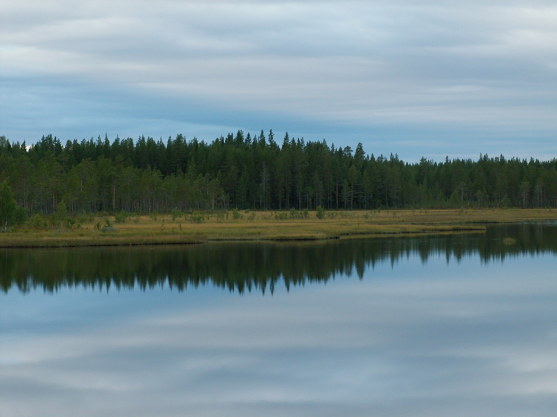
78 records
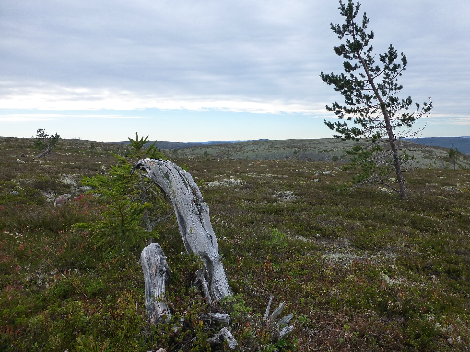
36 records
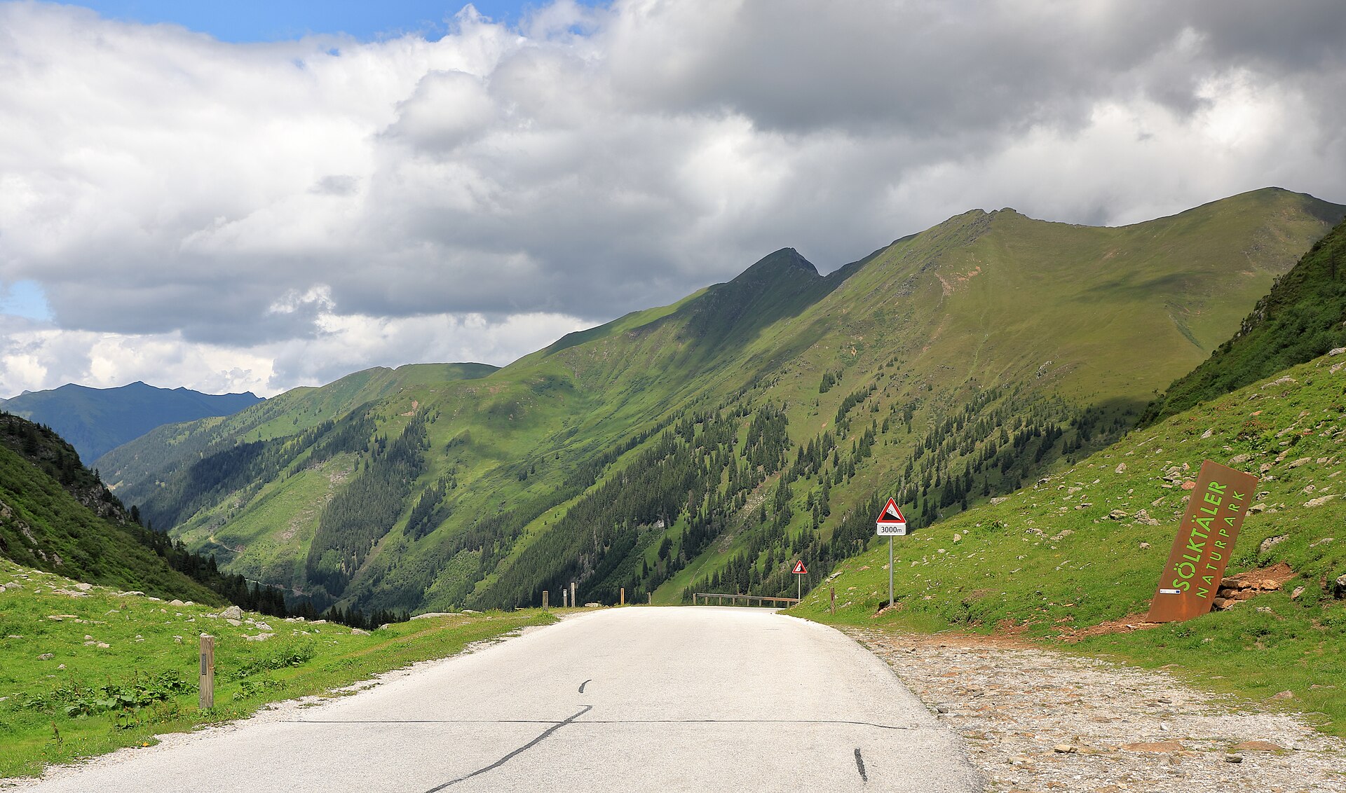
20 records
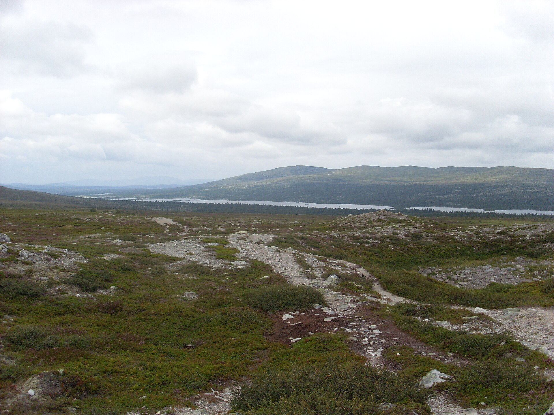
10 records
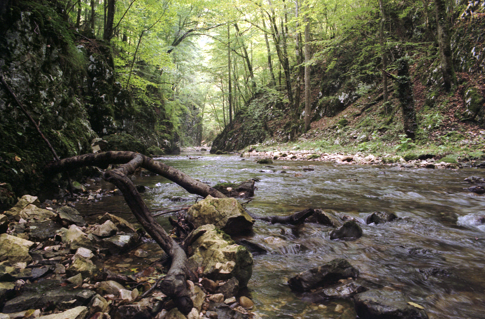
3 records
Other species to discover
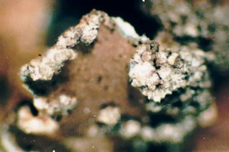 Powdery kidney lichen
Nephroma parile 2 places in common
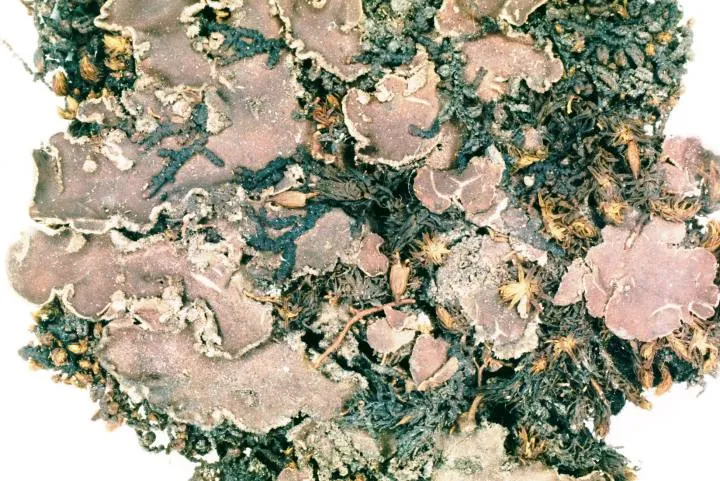 Felt lichen
Peltigera collina 2 places in common
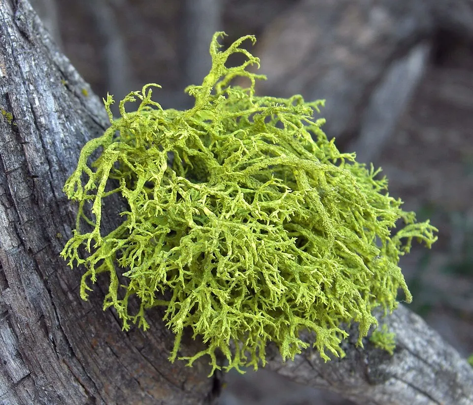 Wolf lichen
Letharia vulpina 3 places in common
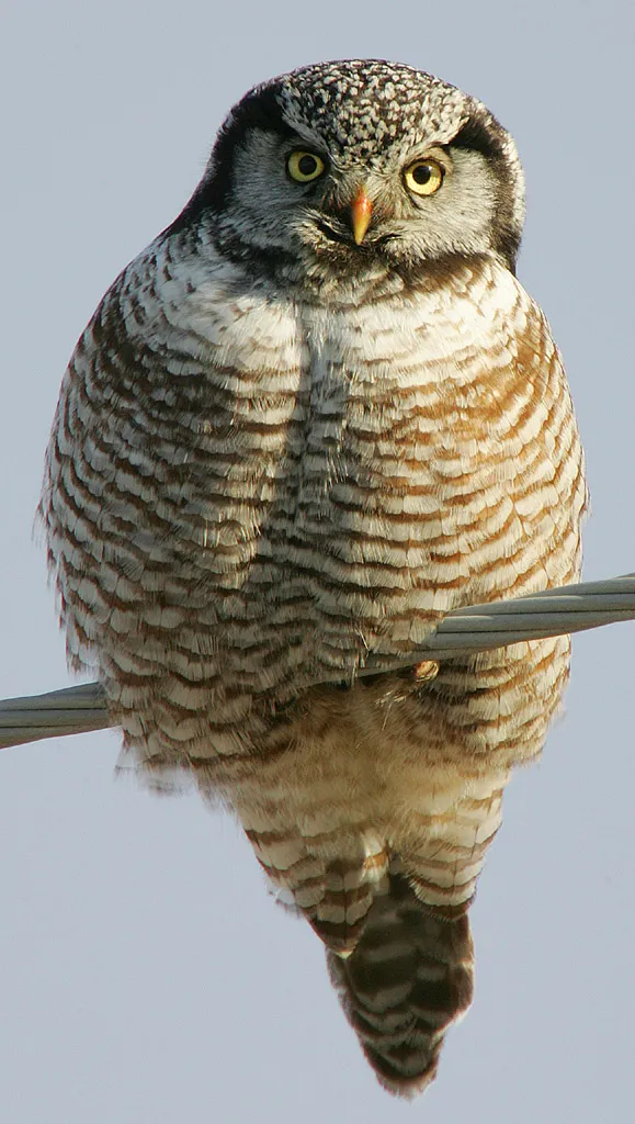 Hawk Owl
Surnia ulula 2 places in common
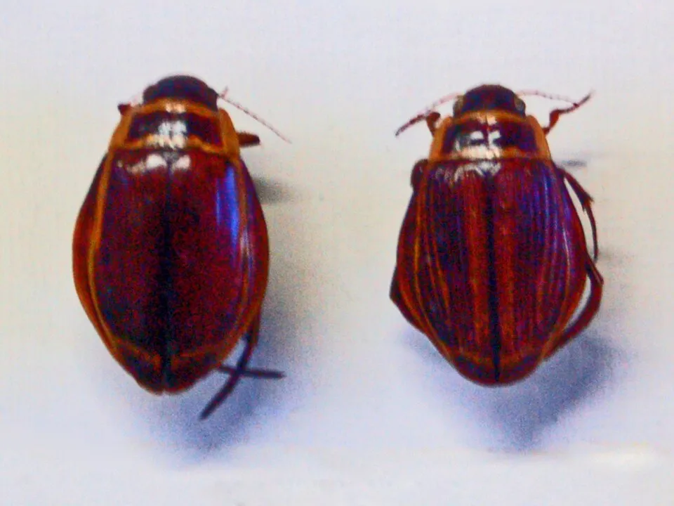 Broadest Diver
Dytiscus latissimus 2 places in common
Eurasian Black Grouse
Lyrurus tetrix tetrix 3 places in common
Sources and credits
- Presence: most-recorded species of each place on GBIF and species of Community interest in the Natura 2000 forms (EEA, CC-BY 4.0); absence from the list does not mean the species is absent.
- Common names: Wikidata (CC0) and GBIF.
- Photos and sounds: Wikimedia Commons, author and licence given for each file.
- Classification: GBIF Backbone Taxonomy (GBIF Secretariat), CC BY 4.0, doi:10.15468/39omei.
- Countries, elevations, months and maps: GBIF.org, CC0 or CC BY 4.0 occurrences only, accessed October 22, 2026, GBIF.org.
- Base map: Natural Earth (public domain).
- Excerpt: Wikipedia, CC BY-SA 4.0 (full credit below the excerpt).