
Austria · Terrestrial
Sölk Valleys Nature Park
Nature park of 28,830 hectares in Austria.
Overview
Nature park of 28,830 hectares in Austria.
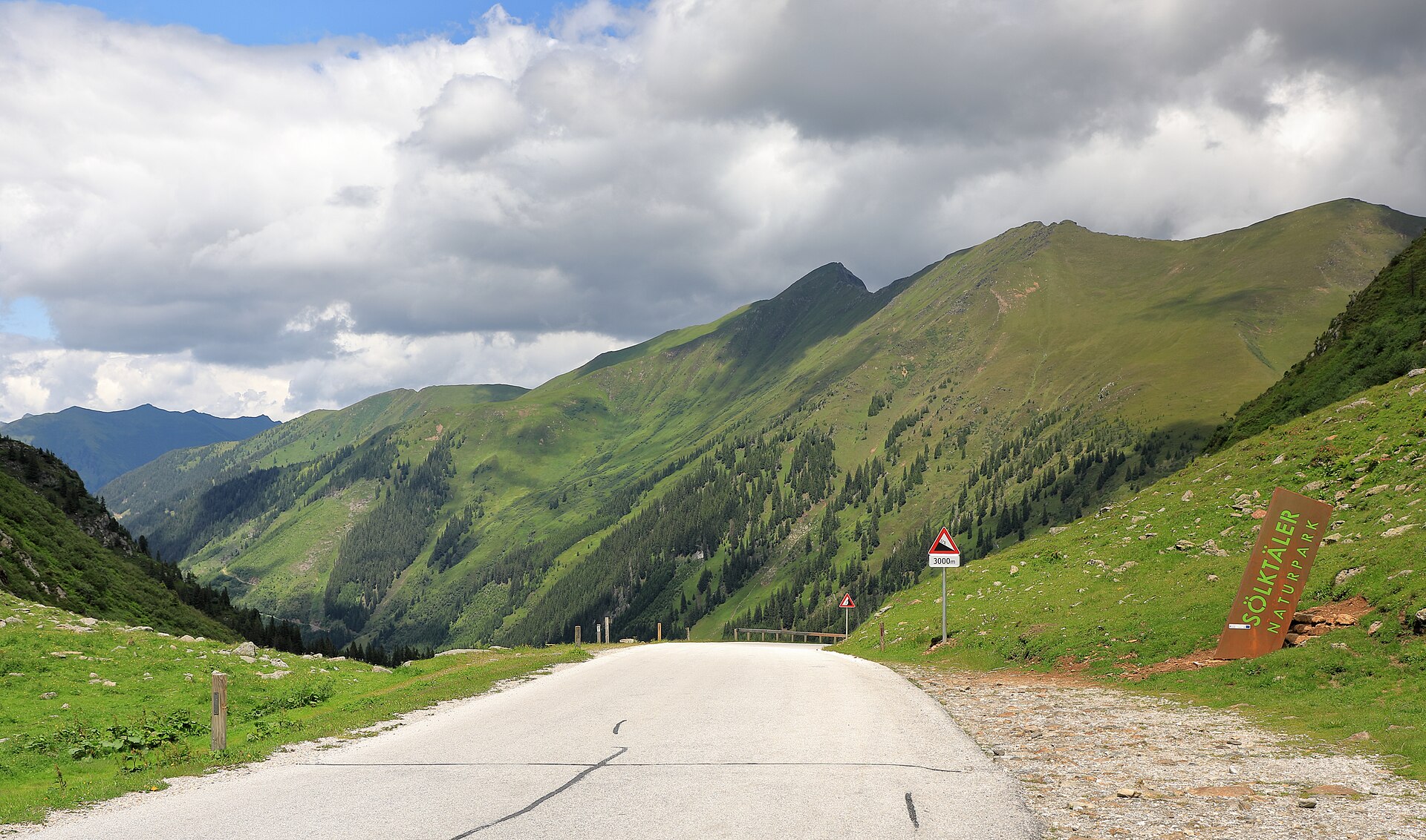
Sölk Valleys Nature Park is located in Austria (Europe). It is a predominantly terrestrial area. It covers about 28,830 hectares.
Protections and designations
Natura 2000 · birds (SPA)
- Niedere Tauern AT2209000
Protected as a nature park. International labels and designations: Natura 2000 network (1 site: “Niedere Tauern”).
In our collections
Frequently asked questions
Where is Sölk Valleys Nature Park?
In Austria (Europe). Representative point: 47.4000° N, 13.9667° E.
How large is Sölk Valleys Nature Park?
About 28,830 hectares (288 km²). It is the 4th largest of the 21 nature parks in Austria covered by Parkavela.
What habitats and landscapes does Sölk Valleys Nature Park include?
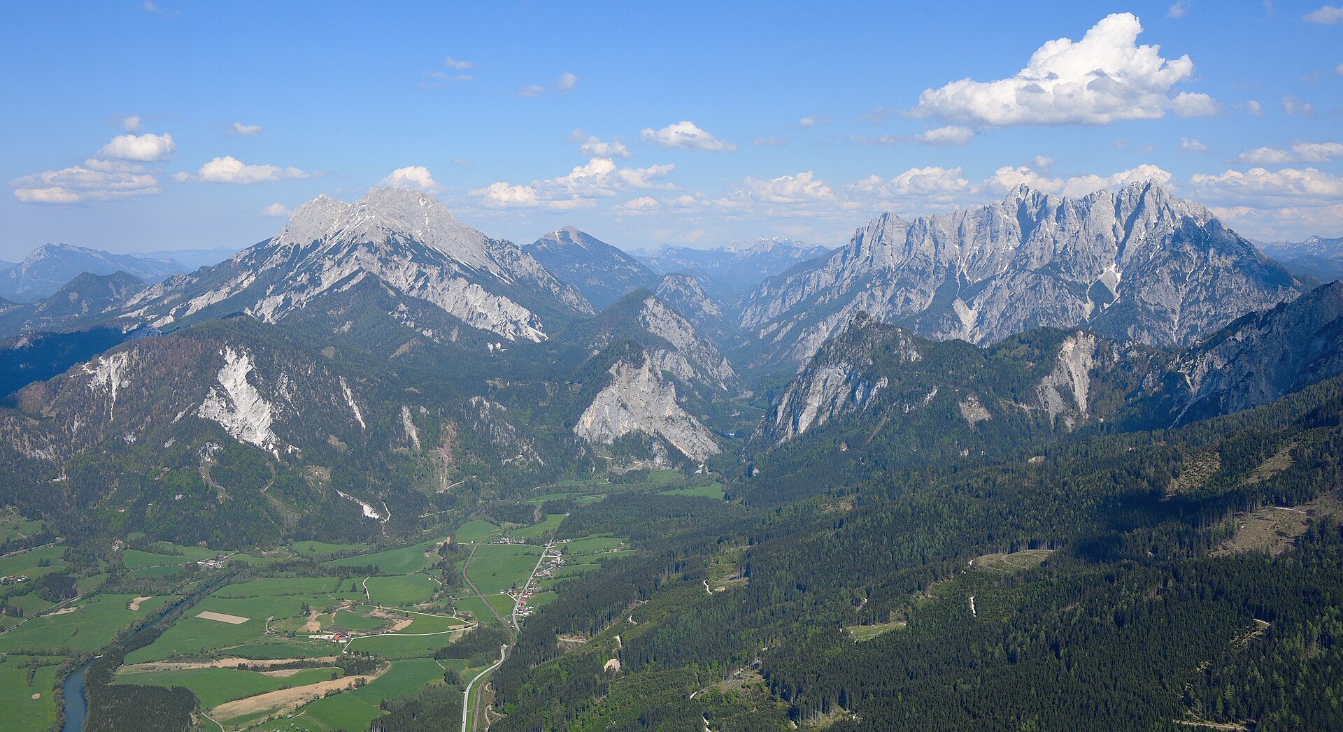
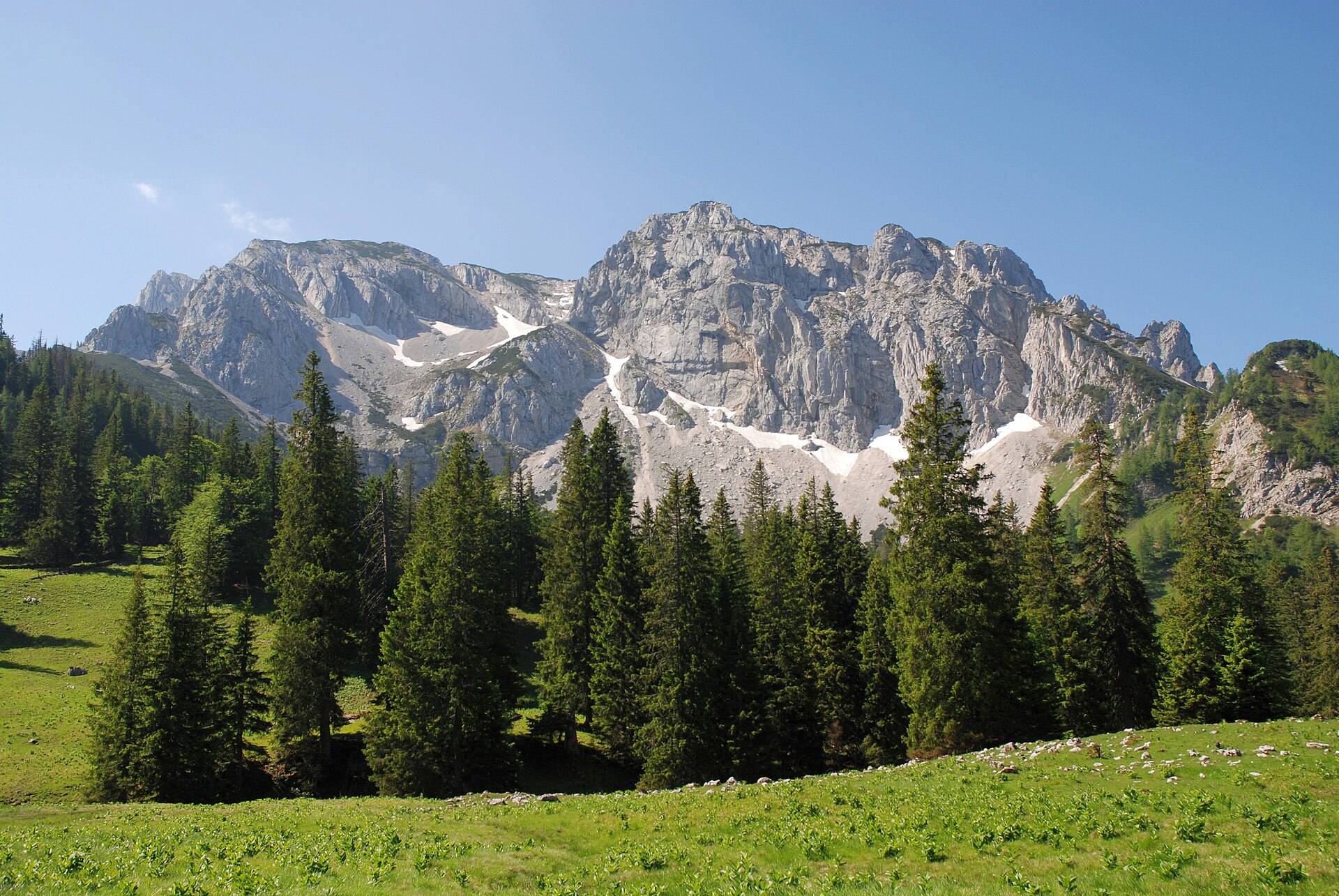
A terrestrial area, with forests and mountains.
What rocks lie beneath Sölk Valleys Nature Park?
According to the European 1:1 million geological map (EGDI), the bedrock consists mainly of mica schists (81% of sampled points). These are mostly metamorphic rocks. The geological units date mainly from the Precambrian (88% of sampled points).
What is the highest point of Sölk Valleys Nature Park?
Deichselspitze, at 2,684 m (OpenStreetMap).
What are the main summits of Sölk Valleys Nature Park?
Deichselspitze (2,684 m), Kieseck (2,681 m), Meisterspitze (2,617 m), Großer Knallstein (2,599 m) and Hohes Schareck (2,575 m) (OpenStreetMap).
Which international labels apply to Sölk Valleys Nature Park?
Natura 2000 network (1 site: “Niedere Tauern”).
When is the best time to visit Sölk Valleys Nature Park?
Mildest period: from June to August, with average temperatures of 14 to 16 °C.
Is there snow in Sölk Valleys Nature Park?
Yes. According to NASA's MODIS satellites (2015–2025 average), snow covers most of the site from November to April, and until May on higher ground, with about 175 snow-covered days a year on average.
What is there to see in Sölk Valleys Nature Park?
10 lakes and ponds, including Schwarzensee (1,163 m), Weißensee (2,229 m), Schimpelsee (1,947 m) and Grünsee (1,983 m) (Wikidata).
Are there historic monuments in Sölk Valleys Nature Park?
Yes. According to Wikidata, 11 monuments listed as protected monuments in Austria stand within the boundary. For example: “Friedhof mit Initienkapellen” in Sölk, “Niederschloss Großsölk” in Sölk and “Bauernhof Bergler” in Sölk.
What is the nearest large city to Sölk Valleys Nature Park?
Nearest towns of over 50,000 people, as the crow flies: Villach (70 km) and Klagenfurt am Wörthersee (73 km). Nearest airport: Klagenfurt (KLU), about 71 km away.
How can I reach Sölk Valleys Nature Park by train?
Stein an der Enns railway station lies within the site.
Where can I get visitor information on site?
Naturpark Sölktäler, Tourismusverband Gröbmingerland and Stadtinformation.
Are there waymarked hiking trails in Sölk Valleys Nature Park?
Yes. Waymarked hiking routes listed in OpenStreetMap: 52, including Zentralalpenweg, Salzsteigweg, Vom Gletscher zum Wein (Südroute) Etappe and Dachstein-Tauern-Panoramaweg. The “Zentralalpenweg 02” route runs for about 38 km through the site, with some 1,360 m of ascent on its longest section.
Which species can be seen in Sölk Valleys Nature Park?
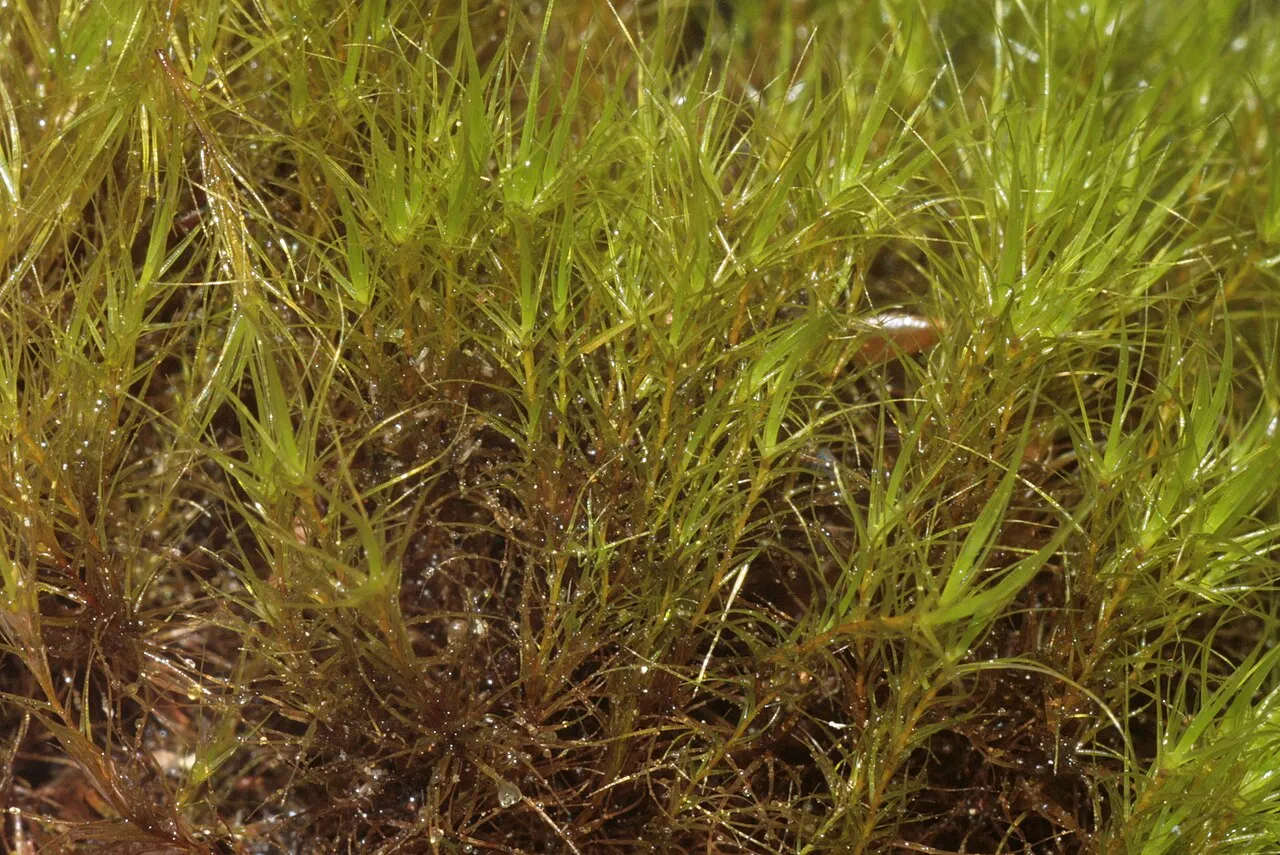
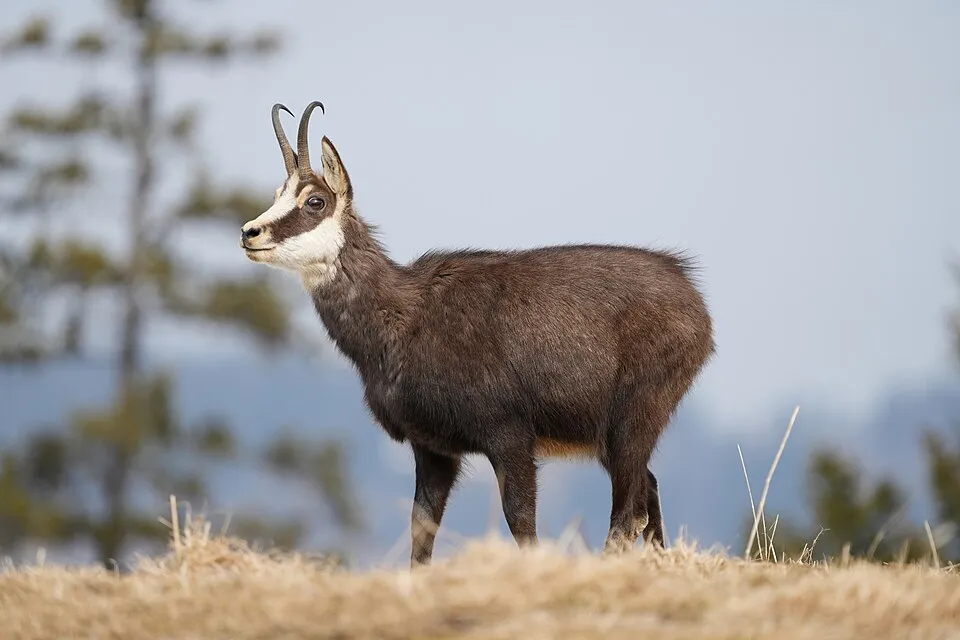
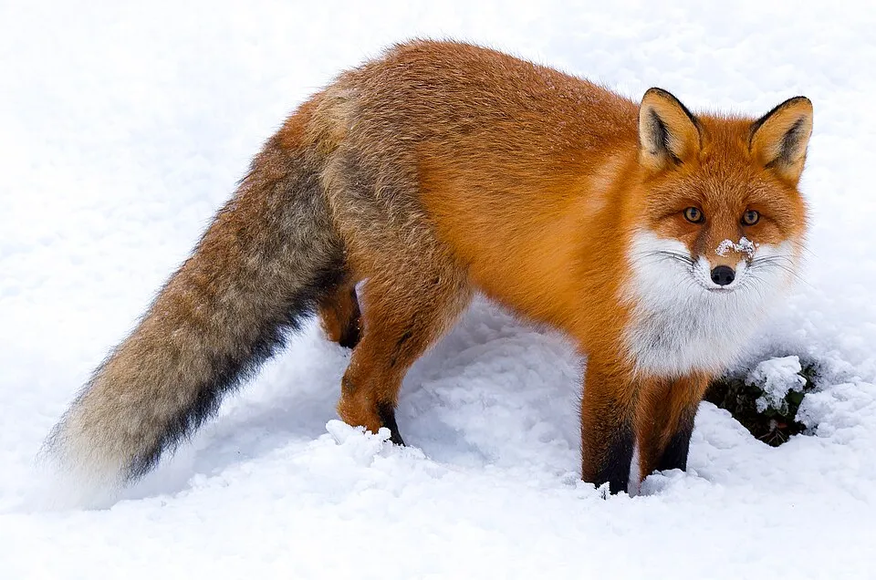
Among the species most often recorded on GBIF are Talpa europaea (European Mole), Rupicapra rupicapra (Chamois), Vulpes vulpes (Red fox) and Avenella flexuosa (Wavy hairgrass).
© OpenStreetMap
Download the boundary: GeoJSON · GPX Boundary © OpenStreetMap contributors (ODbL).
Geography
The representative point of the site lies at around 1,026 m above sea level. Over the 1996–2025 period, the mean annual temperature is about 6.2 °C and total precipitation reaches roughly 1,544 mm per year. The warmest month is usually July, the coolest January, and the wettest July. According to the European 1:1 million geological map (EGDI), the bedrock consists mainly of mica schists (81% of sampled points). These are mostly metamorphic rocks. The geological units date mainly from the Precambrian (88% of sampled points).
Area
- Area of the boundary
- 28,830 ha
- Elevation
- 1,026 m
- Median elevation
- 1,675 m
- Mean slope
- 31°
- Snow cover
- ≈ 175 days a year
- Coordinates
- 47.4, 13.9667
Terrain: Mapzen Terrain Tiles (SRTM, USGS; © offene Daten Österreichs – Digitales Geländemodell (DGM) Österreich, CC BY 3.0 AT)
Elevation bands
- 500–1,000 m 6%
- 1,000–1,500 m 30%
- 1,500–2,000 m 43%
- 2,000–2,500 m 20%
share of the site in each elevation band (smoothed terrain model: summits are rounded off) · Terrain: Mapzen Terrain Tiles (SRTM, USGS; © offene Daten Österreichs – Digitales Geländemodell (DGM) Österreich, CC BY 3.0 AT)
Bedrock
- Mica schists 81 %
- Gneiss 6 %
- Phyllites and slates 6 %
- Marbles 6 %
Metamorphic rocks 100 % · Main age: Precambrian (88%)
Source: EGDI 1:1M geological map (EuroGeoSurveys and national geological surveys), CC BY 4.0 · 16 sampled points within the site.
Main summits
- Deichselspitze2,684 m
- Kieseck2,681 m
- Meisterspitze2,617 m
- Großer Knallstein2,599 m
- Hohes Schareck2,575 m
- Kaiserspitze2,572 m
- Predigtstuhl2,543 m
- Gjoadeck2,525 m
- Seekarlspitz2,523 m
- Süssleiteck2,507 m
Data © OpenStreetMap contributors (ODbL)
Climate
● Mean temperature (°C) · ▮ Precipitation (mm)
Source: Copernicus ERA5-Land (C3S, doi:10.24381/cds.68d2bb30), monthly averages 1996–2025 interpolated to the representative point, temperatures adjusted for elevation.
Contains modified Copernicus Climate Change Service information 2026. Neither the European Commission nor ECMWF is responsible for any use that may be made of the Copernicus information or data it contains.
Snow cover measured by satellite
J
F
M
A
M
J
J
A
S
O
N
D
average share of the site under snow · snowiest parts · ≈ 175 days a year
Snow cover: MODIS/Terra MOD10CM v61 (Hall & Riggs, 2021, NASA NSIDC DAAC, doi:10.5067/MODIS/MOD10CM.061), imagery from NASA GIBS (ESDIS); 2015–2025 average, grid of about 5 km.
Natural habitats
According to CORINE Land Cover (2018), the site is mainly made up of grassland and meadows (43%), forests (35%) and heath and scrub (12%). Woodland is mostly coniferous. Elevation ranges from about 730 m to 2,684 m (highest point: Deichselspitze). Median elevation is 1,675 m, and 20% of the site lies above 2,000 m (SRTM and DGM Österreich elevation models). The terrain is steep: 57% of slopes exceed 30° (mean slope 31°).
Biodiversity
Based on occurrences aggregated by GBIF, several species are regularly recorded within the site. Among the most frequent are Talpa europaea (European Mole), Rupicapra rupicapra (Chamois), Vulpes vulpes (Red fox) and Avenella flexuosa (Wavy hairgrass). The full list of documented taxa is shown below. The overlapping Natura 2000 site lists 45 species of European interest: 45 birds.
Species of European interest
Birds · 45
Boreal Owl (Aegolius funereus) resident, Eurasian Skylark (Alauda arvensis) breeding, Eurasian Teal (Anas crecca) passage, Water Pipit (Anthus spinoletta) breeding, Tree Pipit (Anthus trivialis) breeding, Golden Eagle (Aquila chrysaetos) resident, Grey Heron (Ardea cinerea) passage, Hazel Grouse (Bonasa bonasia) resident, Western Marsh Harrier (Circus aeruginosus) passage, Montagu's Harrier (Circus pygargus) passage, Common Wood Pigeon (Columba palumbus) passage, Common Cuckoo (Cuculus canorus) breeding and 33 more
Source: Natura 2000 standard data forms (EEA, CC-BY 4.0). Not exhaustive: sensitive species are not published.
Species to look out for


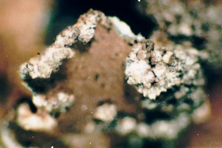
Observed species
Occurrences documented via GBIF; they are neither an exhaustive inventory nor proof of current presence.
- European Mole · Talpa europaea · 73
- Chamois · Rupicapra rupicapra · 68
- Red fox · Vulpes vulpes · 57
- Wavy hairgrass · Avenella flexuosa · 23
- Vaccinium gaultherioides · 22
- Jacobaea carniolica · 21
- Lungwort · Lobaria pulmonaria · 20
- Willow Gentian · Gentiana asclepiadea · 20
- Powdery kidney lichen · Nephroma parile · 19
- Mountain arnica · Arnica montana · 18
- Purple mountain saxifrage · Saxifraga oppositifolia · 16
- Alpine clubmoss · Diphasiastrum alpinum · 15
+18 more species
- Bearded jellyskin · Leptogium saturninum · 13
- Pimpled kidney lichen · Nephroma resupinatum · 12
- Giant shield lichen · Cetrelia cetrarioides · 12
- Farinose cartilage lichen · Ramalina farinacea · 12
- Felt lichen · Peltigera collina · 11
- Ring lichen · Evernia divaricata · 11
- California camouflage lichen · Melanelixia glabra · 11
- Phaeophyscia endophoenicea · 11
- Eurasian Water Vole · Arvicola amphibius · 11
- Northern Nutcracker · Nucifraga caryocatactes · 10
- Diplonaevia emergens · 10
- Wolf lichen · Letharia vulpina · 10
- Twocolor horsehair lichen · Bryoria bicolor · 10
- Rinodina capensis · 10
- Jelly lichen · Collema nigrescens · 10
- Spreading woodfern · Dryopteris expansa · 10
- Trichia alpina · 10
- Honeycombed lichen · Menegazzia terebrata · 9
Records: GBIF.org (CC-BY). Names: Wikidata (CC0), GBIF. Photos: Wikimedia Commons.
Conservation challenges
The primary purpose of the site is to preserve its natural habitats and the biodiversity they support. The species recorded (Biodiversity tab) reflect its ecological value. The designations it holds frame its management and the control of land use.
According to Global Forest Change data (University of Maryland, Global Forest Watch), about 1,780 ha of tree cover were lost within the boundary between 2001 and 2023 (6% of its area), peaking in 2003 and 2011. These losses include logging, storms and fires, and do not account for regrowth. Apart from forest felling and regrowth (about 640 ha in total), land cover remained almost unchanged between 1990 and 2018 according to CORINE Land Cover. At night, the area gives off virtually no artificial light detectable from space (NASA VIIRS Black Marble composite, 2016). According to the Water Framework Directive assessment (2022 river basin management plans, data 2016–2021), 72% of the 95 km of rivers assessed within the site are in good or high ecological status. One invasive alien species has been recorded within the site since 2000 (GBIF observations), listed as of Union concern: Impatiens glandulifera (Himalayan Balsam).
Pressure indicators
Tree cover lost
1,775 ha
2001–2023
20012023
Fires since 2016
0
No large fire mapped (fires over about 30 ha)
Light at night
0%
of the area gives off artificial light visible from space
DarkLit
Built-up land
< 1%
buildings, business areas, roads, quarries
Land cover change
< 0.5%
of the area changed, 1990–2018 · CORINE
forest felling and regrowth: 640 ha in total
Rivers and lakes
72%
of the 95 km of assessed rivers in good or high ecological status · WFD 2022
assessments 2016–2021
Invasive alien species
1
incl. 1 of EU concern · since 2000
Sources: Global Forest Change (Hansen et al., University of Maryland, via Global Forest Watch, CC-BY 4.0); EFFIS, European Commission / Copernicus; NASA Black Marble 2016 (public domain); CORINE Land Cover 2018 (Copernicus) or MODIS.
CORINE Land Cover Change 1990–2018: generated using European Union's Copernicus Land Monitoring Service information (EEA), aggregated by Parkavela; DOI 10.2909/f30f1000-7cf8-43bb-872c-5eb093911b24.
Ecological status of water bodies: European Environment Agency, WISE – Water Framework Directive, 3rd river basin management plans (2022), CC BY 4.0. Official national classification, not comparable between countries.
Invasive alien species: Global Register of Introduced and Invasive Species (ISSG, CC BY 4.0); Union list, Regulation (EU) 1143/2014 (INBO, CC0); GBIF.org records (CC0 / CC BY 4.0), at least 2 per species.
Practical information
Cities and airport
- Villach
70 km as the crow flies - Klagenfurt am Wörthersee
73 km as the crow flies - Airport: Klagenfurt (KLU)
71 km as the crow flies
Visitor information
- Naturpark Sölktäler
within the site - Tourismusverband Gröbmingerland
2 km from the site boundary - Stadtinformation
2 km from the site boundary
Things to see
10 lakes and ponds
- Schwarzensee
lake or pond · 1,163 m - Weißensee
lake or pond · 2,229 m - Schimpelsee
lake or pond · 1,947 m - Grünsee
lake or pond · 1,983 m - Ahornsee
lake or pond · 2,069 m
Hiking
52 waymarked routes listed, including:
ZentralalpenwegSalzsteigwegVom Gletscher zum Wein (Südroute) EtappeDachstein-Tauern-PanoramawegWanderweg
Trail difficulty
- T1 · easy hiking · 15% · 31 km
- T2 · mountain hiking · 60% · 106 km
- T3–T6 · demanding or alpine hiking · 25% · 45 km
182 km graded out of 269 km of paths
SAC scale (T1–T6) © OpenStreetMap contributors (ODbL): indicative only, check with the park.
Data © OpenStreetMap contributors (ODbL) · Wikidata (CC0)
Waymarked hiking routes
Vom Gletscher zum Wein (Südroute) Etappe 7
3.7 km within the site ↗ 902 m↘ 0 m 1,356–2,264 m
up to T2 · mountain hiking
Vom Gletscher zum Wein (Südroute) Etappe 8
2.5 km within the site ↗ 481 m↘ 0 m 1,356–1,844 m
up to T2 · mountain hiking
Tracks © OpenStreetMap contributors (ODbL), clipped to the boundary; elevation gain and profiles computed on the longest section from Mapzen Terrain Tiles (≈ 30 m), indicative only. Indicative difficulty (SAC scale, OpenStreetMap, via Waymarked Trails): check with the park.
Access and visiting
Stein an der Enns railway station lies within the site. Nearest towns of over 50,000 people, as the crow flies: Villach (70 km) and Klagenfurt am Wörthersee (73 km). Nearest airport: Klagenfurt (KLU), about 71 km away. About 66,000 people live within 20 km of the site boundary, 15,000 of them within 10 km; some 1,400 people are estimated to live inside (GHSL estimate, 2020). Visitor information on site: Naturpark Sölktäler, Tourismusverband Gröbmingerland and Stadtinformation. Waymarked hiking routes listed in OpenStreetMap: 52, including Zentralalpenweg, Salzsteigweg, Vom Gletscher zum Wein (Südroute) Etappe and Dachstein-Tauern-Panoramaweg. Of the roughly 180 km of paths with a difficulty grade in OpenStreetMap, 15% are easy hiking (T1), 60% mountain hiking (T2) and 25% demanding or alpine hiking (T3–T6). This is indicative only: check with the park. To see: 10 lakes and ponds, including Schwarzensee (1,163 m), Weißensee (2,229 m), Schimpelsee (1,947 m) and Grünsee (1,983 m). To plan a visit (access, opening periods, visitor rules), it is best to consult the official information from the managing body and the official website listed in this page's sources.
Source: OpenStreetMap (ODbL), Wikidata (CC0), October 2026.
Built heritage
According to Wikidata, 11 monuments listed as protected monuments in Austria stand within the boundary. Among them are 6 religious buildings, 3 houses and civic buildings and 1 castle or fortification. Examples include “Friedhof mit Initienkapellen” in Sölk, “Niederschloss Großsölk” in Sölk and “Bauernhof Bergler” in Sölk.
6 religious buildings3 houses and civic buildings1 castle or fortification
-
Friedhof mit Initienkapellen
Sölk -
Niederschloss Großsölk
Sölk -
Bauernhof Bergler
Sölk -
Leonhardkreuz
Sölk -
Kath Filialkirche Stein an der Enns
Sölk -
Heimatmuseum Sankt Nikolai im Sölktal
Sölk -
Church of Kleinsölk
Sölk -
Kriegerdenkmal
Sölk
and 3 more
Source: Wikidata (CC0), monuments in each country’s official heritage protection registers, at national or regional level. Each item links to its Wikidata entry.
When to visit
Mildest period: from June to August, with average temperatures of 14 to 16 °C. Average temperatures drop below 0 °C from December to February: frost is common. Precipitation peaks from May to August (up to 190 mm per month). These averages apply to the site's representative point (1,026 m); higher up it is markedly cooler and snow lasts longer. According to NASA's MODIS satellites (2015–2025 average), snow covers most of the site from November to April, and until May on higher ground, with about 175 snow-covered days a year on average. Day length ranges from about 8 h 28 min in December to 15 h 56 min in June. Wildlife records published on GBIF peak for birds (July), plants (July and August), butterflies and moths (July) and mammals (August). These peaks also reflect when observers are most active.
Source: Copernicus ERA5-Land (C3S), monthly averages 1996–2025 at the representative point, temperatures adjusted for elevation.
Contains modified Copernicus Climate Change Service information 2026. Neither the European Commission nor ECMWF is responsible for any use that may be made of the Copernicus information or data it contains.
Wildlife records calendar
JFMAMJJASOND
Birds
Plants
Butterflies & moths
Mammals
Monthly records published on GBIF (CC-BY), relative to the busiest month; also reflects observer activity.
Gallery
© C.Stadler/Bwag · CC BY-SA 4.0
© C.Stadler/Bwag · CC BY-SA 4.0
© Aushelfer · CC BY-SA 3.0
© Christian Pirkl · CC BY-SA 3.0
© Christian Pirkl · CC BY-SA 3.0
© Bitisajn · CC BY-SA 3.0
Sources and licences
- Wikidata: Q1970673
- OpenStreetMap: relation 10540163
- Wikipedia: de.wikipedia.org/wiki/Naturpark_Sölktäler
References
- cds.climate.copernicus.eu: climate · CC-BY-4.0
- registry.opendata.aws: elevation of the reference point, detailed relief · CC-BY-3.0
- land.copernicus.eu: land cover, land cover change, sea share · COPERNICUS
- doi.org: population around the site · CC-BY-4.0
- openstreetmap.org: access and peaks, trail difficulty, wheelchair access · ODbL-1.0
- eea.europa.eu: bathing water quality, ecological status of waters · CC-BY-4.0
- en.eurovelo.com: EuroVelo cycle routes · ODbL-1.0
- cycling.waymarkedtrails.org: cycle routes · ODbL-1.0
- opentopodata.org: elevations · PD
- forest-fire.emergency.copernicus.eu: wildfires · COPERNICUS
- globalforestwatch.org: tree cover loss · CC-BY-4.0
- gbif.org: seasonality of sightings, invasive alien species, observed species · CC-BY-4.0
- europe-geology.eu: geology · CC-BY-4.0
- wikidata.org: protected heritage, official name, nearby cities and airport, access and peaks, lake depths, places to see · CC0-1.0
- hydrosheds.org: lakes · CC-BY-4.0
- natura2000.eea.europa.eu: Natura 2000 habitats and species · CC-BY-4.0
- earthobservatory.nasa.gov: night light · PD
- hiking.waymarkedtrails.org: route difficulty · ODbL-1.0
- nsidc.org: snow cover · PD
- wikidata.org: Wikipedia article · CC-BY-SA-4.0
Data © OpenStreetMap contributors (ODbL), Wikidata (CC0) and the sources cited.