Austria · Terrestrial
Styrian Eisenwurzen Nature and Geopark
Nature park of 58,433 hectares in Austria, established in 1996.
Overview
Nature park of 58,433 hectares in Austria, established in 1996.
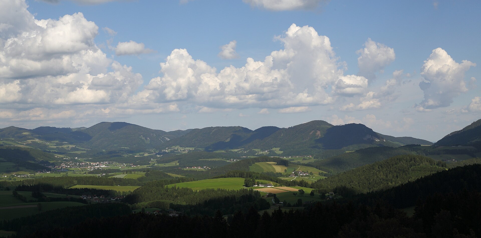
Styrian Eisenwurzen Nature and Geopark is a nature park in Austria (Europe). It is a predominantly terrestrial area. Established in 1996, it covers about 58,433 hectares.
Protections and designations
Natura 2000 · habitats (SAC) · 2 sites
- Ennstaler Alpen/Gesäuse AT2210000
- Südlich gelegene Talbereiche der Göstlinger Alpen AT2241000
Natura 2000 · birds (SPA)
- Ennstaler Alpen/Gesäuse AT2210000
Protected as a nature park. International labels and designations: Natura 2000 network (2 sites). Key dates: established in 1996, first Natura 2000 site under the Birds Directive in 1997 and first Natura 2000 site under the Habitats Directive in 2006.
In our collections
Timeline
-
1996
Established
-
1997
First Natura 2000 site under the Birds Directive
-
2006
First Natura 2000 site under the Habitats Directive
Sources: Wikidata (CC0) for establishment and international labels; EEA Natura 2000 database (CC-BY 4.0) for site designation dates.
Frequently asked questions
Where is Styrian Eisenwurzen Nature and Geopark?
In Austria (Europe). Representative point: 47.6848° N, 14.7437° E.
How large is Styrian Eisenwurzen Nature and Geopark?
About 58,433 hectares (584 km²). It is the 2nd largest of the 21 nature parks in Austria covered by Parkavela.
When was Styrian Eisenwurzen Nature and Geopark established?
In 1996.
What habitats and landscapes does Styrian Eisenwurzen Nature and Geopark include?
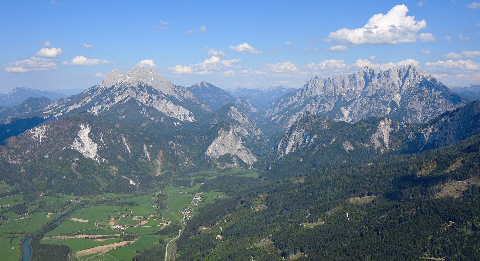
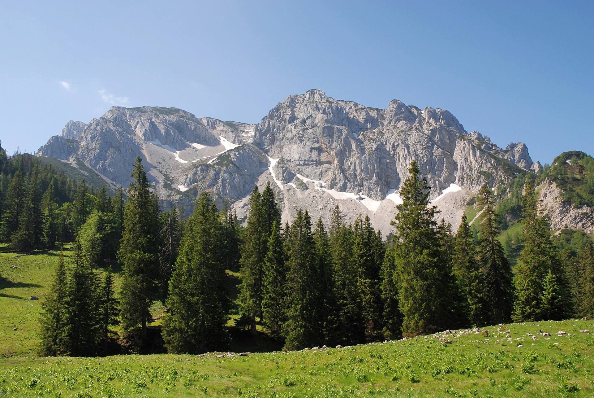
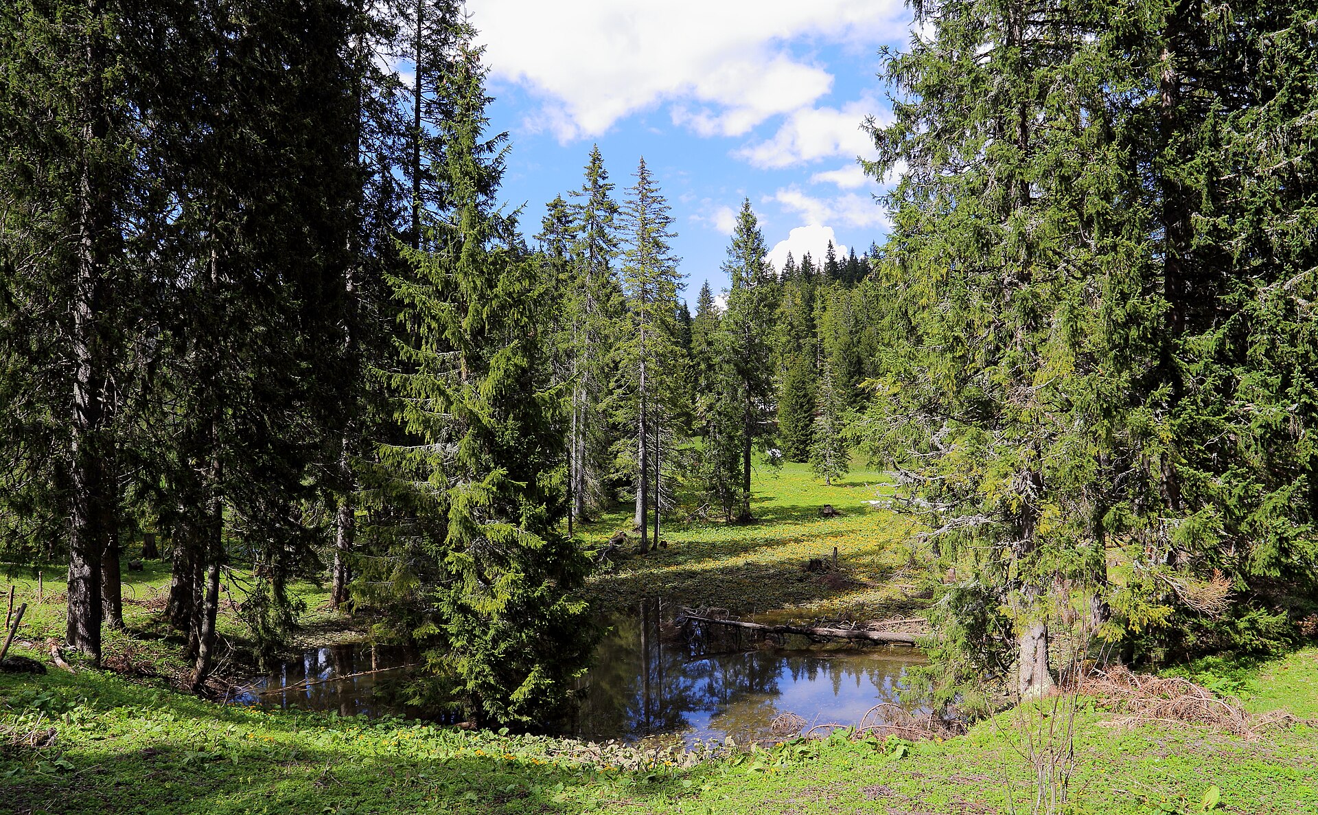
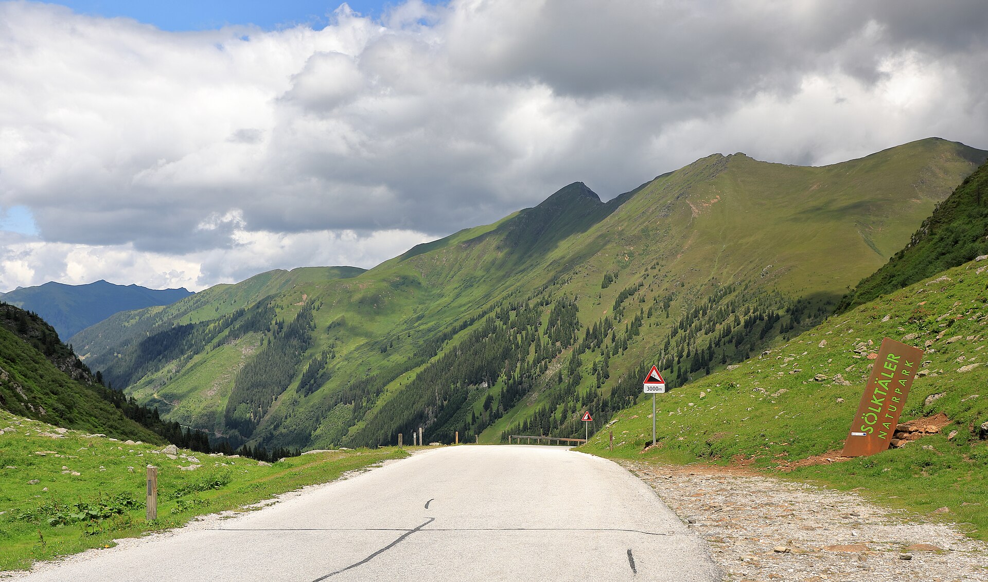
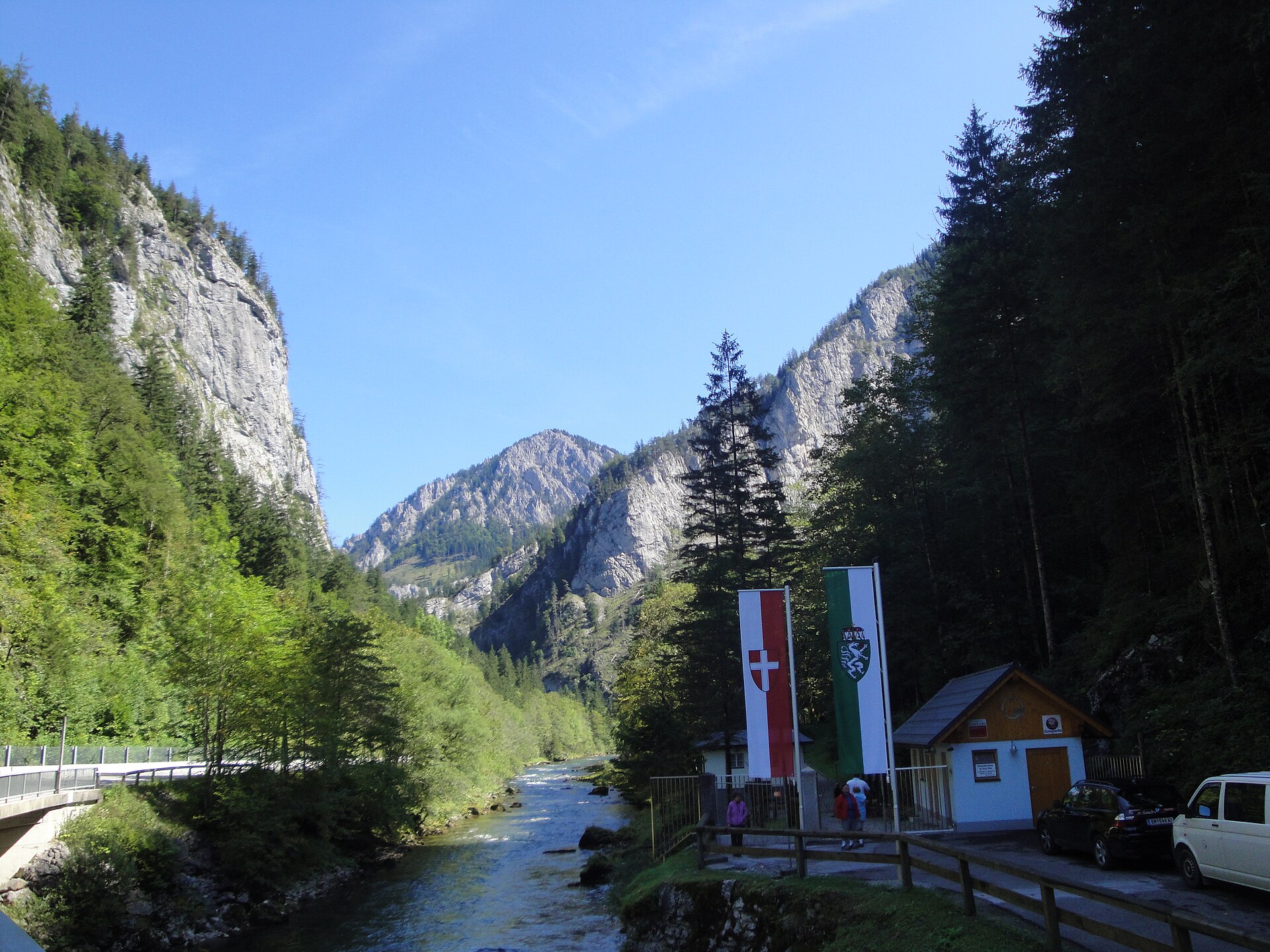
A terrestrial area, with forests and mountains.
What rocks lie beneath Styrian Eisenwurzen Nature and Geopark?
According to the European 1:1 million geological map (EGDI), the bedrock consists mainly of limestones (100% of sampled points). These are mostly sedimentary rocks. The geological units date mainly from the Mesozoic (100% of sampled points).
What is the highest point of Styrian Eisenwurzen Nature and Geopark?
Ebenstein, at 2,123 m (OpenStreetMap).
What are the main summits of Styrian Eisenwurzen Nature and Geopark?
Ebenstein (2,123 m), Natterriegel (2,065 m), Hinterer Polster (2,057 m), Mittagskogel (2,041 m) and Tamischbachturm (2,035 m) (OpenStreetMap).
Which international labels apply to Styrian Eisenwurzen Nature and Geopark?
Natura 2000 network (2 sites).
Is there snow in Styrian Eisenwurzen Nature and Geopark?
Yes. According to NASA's MODIS satellites (2015–2025 average), snow covers most of the site from December to February, and until March on higher ground, with about 115 snow-covered days a year on average.
What is there to see in Styrian Eisenwurzen Nature and Geopark?
2 lakes and ponds and 1 cave, including Teufelssee (1,073 m), Teufelskirche von St. Gallen and Brunnsee (623 m) (Wikidata).
Where can I stay in Styrian Eisenwurzen Nature and Geopark?
Mountain hut Admonter Haus (1,723 m) (Wikidata).
Are there historic monuments in Styrian Eisenwurzen Nature and Geopark?
Yes. According to Wikidata, 89 monuments listed as protected monuments in Austria stand within the boundary. For example: “Wellgerguat” in Altenmarkt bei Sankt Gallen, “Burgruine Gallenstein” in Sankt Gallen and “Aquädukt I” in Wildalpen.
What is the nearest large city to Styrian Eisenwurzen Nature and Geopark?
Nearest towns of over 50,000 people, as the crow flies: Wels (62 km) and St. Pölten (62 km). Nearest airport: Linz (LNZ), about 63 km away.
How can I reach Styrian Eisenwurzen Nature and Geopark by train?
Weißenbach-St. Gallen railway station lies within the site.
Where can I get visitor information on site?
Natur- und Geopark Steirische Eisenwurzen, KLAR! Büro Natur- und Geopark Steirische Eisenwurzen and Reception.
Are there waymarked hiking trails in Styrian Eisenwurzen Nature and Geopark?
Yes. Waymarked hiking routes listed in OpenStreetMap: 54, including E 4, Nordalpenweg, Eisenwurzenweg and Luchs Trail Etappe. The “Eisenwurzenweg 08” route runs for about 26 km through the site, with some 1,110 m of ascent on its longest section.
Which species can be seen in Styrian Eisenwurzen Nature and Geopark?
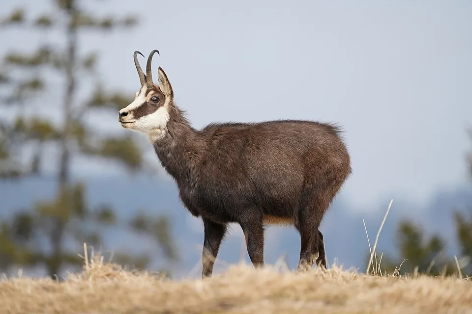
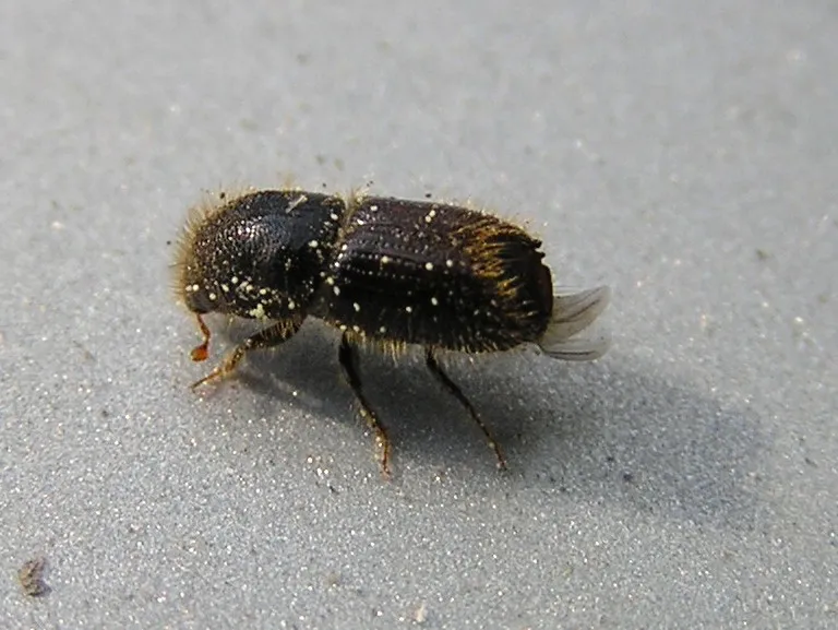
Among the species most often recorded on GBIF are Rupicapra rupicapra (Chamois), Ips typographus (European spruce bark beetle), Thanasimus femoralis and Phalacrocorax carbo (Great Cormorant).
What is the official website of Styrian Eisenwurzen Nature and Geopark?
© OpenStreetMap
Download the boundary: GeoJSON · GPX Boundary © OpenStreetMap contributors (ODbL).
Geography
According to the European 1:1 million geological map (EGDI), the bedrock consists mainly of limestones (100% of sampled points). These are mostly sedimentary rocks. The geological units date mainly from the Mesozoic (100% of sampled points).
Area
- Area
- 58,433 ha
- Median elevation
- 905 m
- Mean slope
- 26°
- Snow cover
- ≈ 115 days a year
- Coordinates
- 47.6848, 14.7437
Terrain: Mapzen Terrain Tiles (SRTM, USGS; © offene Daten Österreichs – Digitales Geländemodell (DGM) Österreich, CC BY 3.0 AT)
Elevation bands
- below 500 m 3%
- 500–1,000 m 58%
- 1,000–1,500 m 33%
- 1,500–2,000 m 6%
share of the site in each elevation band (smoothed terrain model: summits are rounded off) · Terrain: Mapzen Terrain Tiles (SRTM, USGS; © offene Daten Österreichs – Digitales Geländemodell (DGM) Österreich, CC BY 3.0 AT)
Bedrock
- Limestones 100 %
Sedimentary rocks 100 % · Main age: Mesozoic (100%)
Source: EGDI 1:1M geological map (EuroGeoSurveys and national geological surveys), CC BY 4.0 · 16 sampled points within the site.
Main summits
- Ebenstein2,123 m
- Natterriegel2,065 m
- Hinterer Polster2,057 m
- Mittagskogel2,041 m
- Tamischbachturm2,035 m
- Großer Griesstein2,023 m
- Schaufelwand2,012 m
- Brandstein2,003 m
- Hochturm1,956 m
- Kesselkargrat1,956 m
Data © OpenStreetMap contributors (ODbL)
Snow cover measured by satellite
J
F
M
A
M
J
J
A
S
O
N
D
average share of the site under snow · snowiest parts · ≈ 115 days a year
Snow cover: MODIS/Terra MOD10CM v61 (Hall & Riggs, 2021, NASA NSIDC DAAC, doi:10.5067/MODIS/MOD10CM.061), imagery from NASA GIBS (ESDIS); 2015–2025 average, grid of about 5 km.
Natural habitats
According to CORINE Land Cover (2018), the site is mainly made up of forests (79%), grassland and meadows (7%) and heath and scrub (6%). Woodland mixes broadleaved and coniferous trees. Elevation ranges from about 540 m to 2,123 m (highest point: Ebenstein). Median elevation is 905 m, and 39% of the site lies above 1,000 m (SRTM and DGM Österreich elevation models). The terrain is steep: 39% of slopes exceed 30° (mean slope 26°). The 2 Natura 2000 sites overlapping the area list 26 habitats of European interest (8 priority), the most extensive being calcareous rocky slopes with chasmophytic vegetation, bushes with Pinus mugo and Rhododendron hirsutum (Mugo-Rhododendretum hirsuti) and acidophilous Picea forests of the montane to alpine levels (Vaccinio-Piceetea).
Biodiversity
Based on occurrences aggregated by GBIF, several species are regularly recorded within the site. Among the most frequent are Rupicapra rupicapra (Chamois), Ips typographus (European spruce bark beetle), Thanasimus femoralis and Phalacrocorax carbo (Great Cormorant). The full list of documented taxa is shown below. The overlapping Natura 2000 sites list 57 species of European interest: 39 birds, 6 mammals, 2 amphibians, 2 fish, 5 invertebrates and 3 plants.
Habitats of European interest
From the official forms of the 2 Natura 2000 sites overlapping the area (areas reported for each whole site).
- Calcareous rocky slopes with chasmophytic vegetation 2,207 ha
- Bushes with Pinus mugo and Rhododendron hirsutum (Mugo-Rhododendretum hirsuti) priority 2,189 ha
- Acidophilous Picea forests of the montane to alpine levels (Vaccinio-Piceetea) 2,077 ha
- Alpine and subalpine calcareous grasslands 1,597 ha
- Asperulo-Fagetum beech forests 883 ha
- Alpine Larix decidua and/or Pinus cembra forests 453 ha
- Medio-European limestone beech forests of the Cephalanthero-Fagion 415 ha
- Medio-European subalpine beech woods with Acer and Rumex arifolius 367 ha
and 18 more
Species of European interest
Birds · 39
Common Sandpiper (Actitis hypoleucos) breeding, Boreal Owl (Aegolius funereus) resident, Eurasian Skylark (Alauda arvensis) passage breeding, Common Kingfisher (Alcedo atthis) breeding passage, Water Pipit (Anthus spinoletta) breeding, Tree Pipit (Anthus trivialis) passage breeding, Golden Eagle (Aquila chrysaetos) resident, Grey Heron (Ardea cinerea) wintering, Hazel Grouse (Bonasa bonasia) resident, Eurasian Eagle-owl (Bubo bubo) resident, Western Marsh Harrier (Circus aeruginosus) passage, Hen Harrier (Circus cyaneus) passage and 27 more
Mammals · 6
Barbastelle (Barbastella barbastellus), Eurasian otter (Lutra lutra), Eurasian Lynx (Lynx lynx), Greater mouse-eared bat (Myotis myotis), Lesser horseshoe bat (Rhinolophus hipposideros), Brown bear (Ursus arctos)
Invertebrates · 5
Cucujus cinnaberinus, Marsh fritillary (Euphydryas aurinia), Scarce Fritillary (Euphydryas maturna), Jersey Tiger (Euplagia quadripunctaria), Rosalia longicorn (Rosalia alpina)
Plants · 3
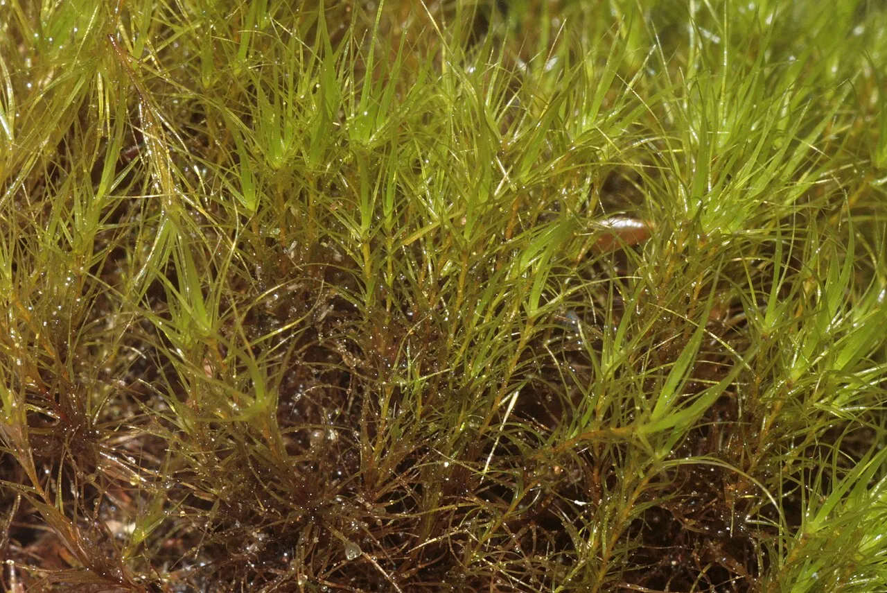
Buxbaumia moss (Buxbaumia viridis), Lady's-slipper orchid (Cypripedium calceolus), Dicranum moss (Dicranum viride)
Source: Natura 2000 standard data forms (EEA, CC-BY 4.0). Not exhaustive: sensitive species are not published.
Species to look out for

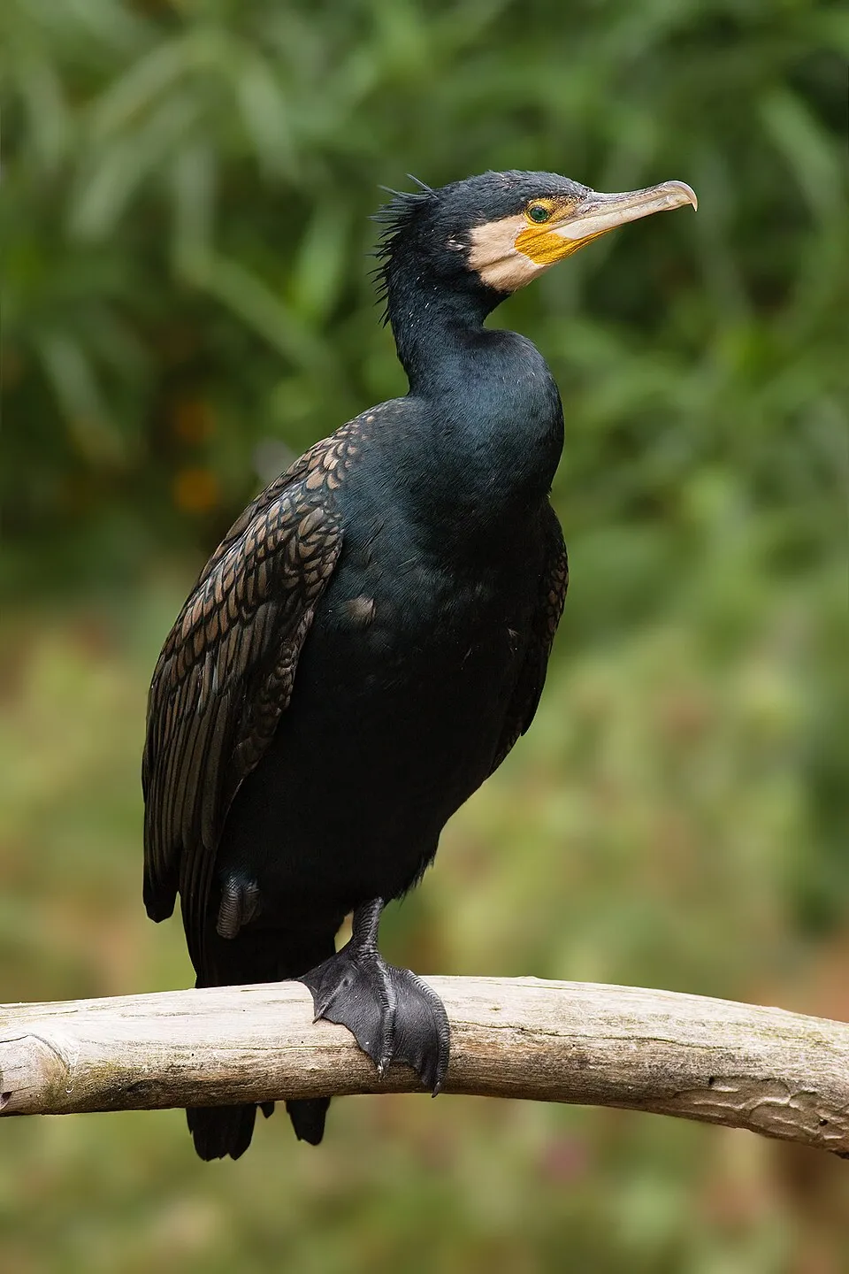
Bird
Great Cormorant
Phalacrocorax carbo71 records © JJ Harrison (https://www.jjharrison.com.au/) · CC BY-SA 3.0
Observed species
Occurrences documented via GBIF; they are neither an exhaustive inventory nor proof of current presence.
- Chamois · Rupicapra rupicapra · 283
- European spruce bark beetle · Ips typographus · 154
- Thanasimus femoralis · 106
- Great Cormorant · Phalacrocorax carbo · 71
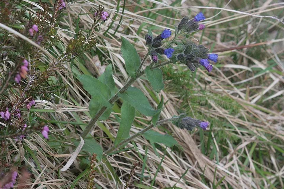
- Pulmonaria kerneri · 69
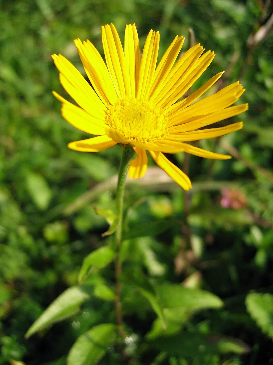
- Ox-eye · Buphthalmum salicifolium · 61
- Castor Bean Tick · Ixodes ricinus · 51
- Callianthemum anemonoides · 49
- Common Merganser · Mergus merganser · 48
- Sticky clary · Salvia glutinosa · 47
- Willow Gentian · Gentiana asclepiadea · 46
- Golden Eagle · Aquila chrysaetos · 43
Records: GBIF.org (CC-BY). Names: Wikidata (CC0), GBIF. Photos: Wikimedia Commons.
Conservation challenges
The primary purpose of the site is to preserve its natural habitats and the biodiversity they support. The species recorded (Biodiversity tab) reflect its ecological value. The designations it holds frame its management and the control of land use.
According to Global Forest Change data (University of Maryland, Global Forest Watch), about 5,190 ha of tree cover were lost within the boundary between 2001 and 2023 (9% of its area), peaking in 2007 and 2008. These losses include logging, storms and fires, and do not account for regrowth. Apart from forest felling and regrowth (about 1,350 ha in total), land cover remained almost unchanged between 1990 and 2018 according to CORINE Land Cover. At night, the area gives off virtually no artificial light detectable from space (NASA VIIRS Black Marble composite, 2016). Built-up and developed land (buildings, business areas, roads, quarries) covers 1% of the area (CORINE Land Cover). According to the Natura 2000 forms, of 24 assessed habitats of European interest, 14 are in excellent condition and 1 in average or reduced condition. According to the Water Framework Directive assessment (2022 river basin management plans, data 2016–2021), 62% of the 219 km of rivers assessed within the site are in good or high ecological status. Since 2000, 7 invasive alien species have been recorded within the site (GBIF observations), 2 of them listed as of Union concern under EU Regulation 1143/2014. Among them: Impatiens glandulifera (Himalayan Balsam), Reynoutria japonica (Japanese Knotweed) and Solidago canadensis (Canada goldenrod).
Pressure indicators
Tree cover lost
5,192 ha
2001–2023 · 9% of the area
20012023
Fires since 2016
0
No large fire mapped (fires over about 30 ha)
Light at night
< 1%
of the area gives off artificial light visible from space
DarkLit
Built-up land
1%
buildings, business areas, roads, quarries
Land cover change
< 0.5%
of the area changed, 1990–2018 · CORINE
forest felling and regrowth: 1,350 ha in total
Rivers and lakes
62%
of the 219 km of assessed rivers in good or high ecological status · WFD 2022
assessments 2016–2021
Invasive alien species
7
incl. 2 of EU concern · since 2000
 Himalayan BalsamEU
 Japanese KnotweedEU
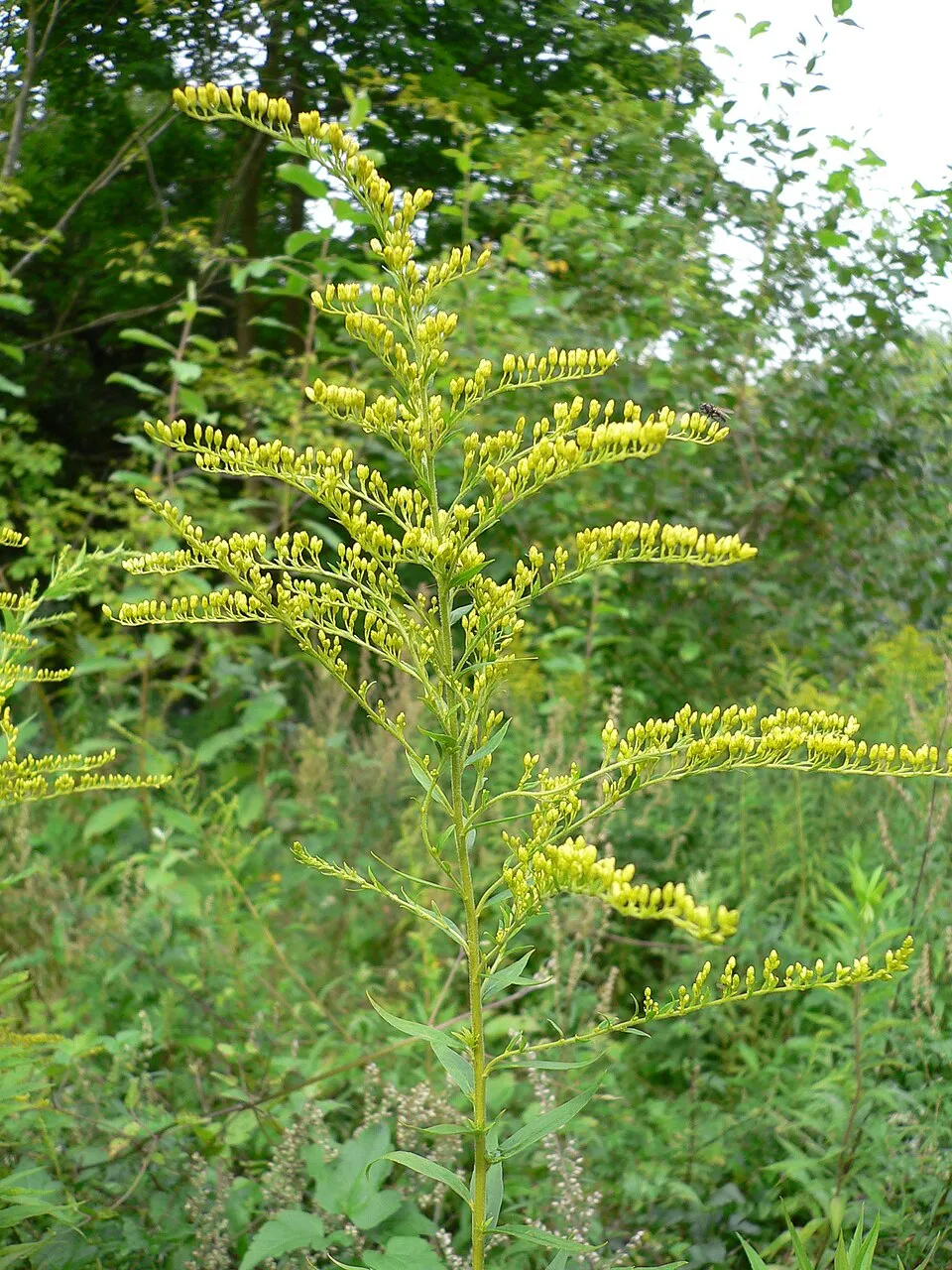 Canada goldenrod
 Small balsam
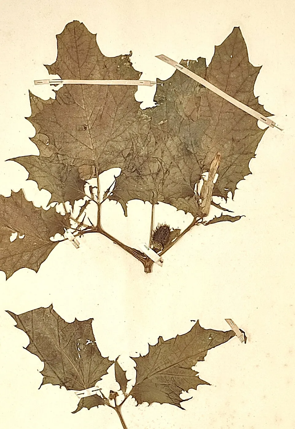 Jimsonweed
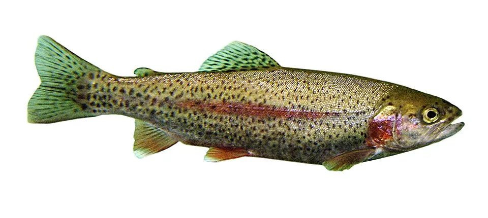 Rainbow trout
 Black locust
Photos: Himalayan Balsam © Guptaele · CC BY-SA 4.0; Japanese Knotweed © W.carter · CC0-1.0; Canada goldenrod © Georg Slickers · CC BY-SA 4.0; Small balsam © André Karwath aka Aka · CC BY-SA 2.5; Jimsonweed © Giuseppe Frizzi · Public domain; Rainbow trout © Jonathunder · CC BY-SA 3.0; Black locust © This Photo was taken by Wolfgang Moroder. Feel free to use my photos, but please mention me as the author and send me a message. This image is not in the public domain. Please respect the copyright protection. It may only be used according… · CC BY-SA 3.0
Sources: Global Forest Change (Hansen et al., University of Maryland, via Global Forest Watch, CC-BY 4.0); EFFIS, European Commission / Copernicus; NASA Black Marble 2016 (public domain); CORINE Land Cover 2018 (Copernicus) or MODIS.
CORINE Land Cover Change 1990–2018: generated using European Union's Copernicus Land Monitoring Service information (EEA), aggregated by Parkavela; DOI 10.2909/f30f1000-7cf8-43bb-872c-5eb093911b24.
Ecological status of water bodies: European Environment Agency, WISE – Water Framework Directive, 3rd river basin management plans (2022), CC BY 4.0. Official national classification, not comparable between countries.
Invasive alien species: Global Register of Introduced and Invasive Species (ISSG, CC BY 4.0); Union list, Regulation (EU) 1143/2014 (INBO, CC0); GBIF.org records (CC0 / CC BY 4.0), at least 2 per species.
Practical information
Cities and airport
- Wels
62 km as the crow flies - St. Pölten
62 km as the crow flies - Airport: Linz (LNZ)
63 km as the crow flies
Visitor information
- Natur- und Geopark Steirische Eisenwurzen
within the site - KLAR! Büro Natur- und Geopark Steirische Eisenwurzen
within the site - Reception
within the site - Wasserlochklamm
within the site
Things to see
2 lakes and ponds · 1 cave
- Teufelssee
lake or pond · 1,073 m - Teufelskirche von St. Gallen
cave - Brunnsee
lake or pond · 623 m
Hiking
54 waymarked routes listed, including:
E 4NordalpenwegEisenwurzenwegLuchs Trail Etappe
Trail difficulty
- T1 · easy hiking · 20% · 65 km
- T2 · mountain hiking · 55% · 166 km
- T3–T6 · demanding or alpine hiking · 20% · 59 km
290 km graded out of 439 km of paths
SAC scale (T1–T6) © OpenStreetMap contributors (ODbL): indicative only, check with the park.
By bike
Ennsradweg · 29 kmR7 Ennsradweg (Steiermark) · 29 kmLI2 · 10 kmR31 Nationalpark-Kalkalpenweg · 4 km
Signed cycle routes: this does not mean that cycling is allowed on footpaths.
Data © OpenStreetMap contributors (ODbL) · Wikidata (CC0)
Routes © OpenStreetMap contributors (ODbL), via Waymarked Trails
Waymarked hiking routes
E4 Chemin de randonnée Européen E4, partie en Autriche
3.5 km within the site ↗ 0 m↘ 433 m 1,261–1,699 m
up to T3 · demanding mountain hiking faint path in places
01 Nordalpenweg 01
3.5 km within the site ↗ 0 m↘ 433 m 1,261–1,699 m
up to T3 · demanding mountain hiking faint path in places
Tracks © OpenStreetMap contributors (ODbL), clipped to the boundary; elevation gain and profiles computed on the longest section from Mapzen Terrain Tiles (≈ 30 m), indicative only. Indicative difficulty (SAC scale, OpenStreetMap, via Waymarked Trails): check with the park.
Access and visiting
Weißenbach-St. Gallen railway station lies within the site. Nearest towns of over 50,000 people, as the crow flies: Wels (62 km) and St. Pölten (62 km). Nearest airport: Linz (LNZ), about 63 km away. About 86,000 people live within 20 km of the site boundary, 21,000 of them within 10 km; some 6,100 people are estimated to live inside (GHSL estimate, 2020). This population has fallen by about 12% since 2000. Visitor information on site: Natur- und Geopark Steirische Eisenwurzen, KLAR! Büro Natur- und Geopark Steirische Eisenwurzen and Reception. Waymarked hiking routes listed in OpenStreetMap: 54, including E 4, Nordalpenweg, Eisenwurzenweg and Luchs Trail Etappe. Of the roughly 290 km of paths with a difficulty grade in OpenStreetMap, 20% are easy hiking (T1), 55% mountain hiking (T2) and 20% demanding or alpine hiking (T3–T6). This is indicative only: check with the park. The site is crossed by 4 signed cycle routes, including “Ennsradweg” and “R7 Ennsradweg (Steiermark)” (OpenStreetMap). To see: 2 lakes and ponds and 1 cave, including Teufelssee (1,073 m), Teufelskirche von St. Gallen and Brunnsee (623 m). Where to stay: mountain hut Admonter Haus (1,723 m). To plan a visit (access, opening periods, visitor rules), it is best to consult the official information from the managing body and the official website listed in this page's sources.
Source: OpenStreetMap (ODbL), Wikidata (CC0), October 2026.
Built heritage
According to Wikidata, 89 monuments listed as protected monuments in Austria stand within the boundary. Among them are 28 religious buildings, 19 houses and civic buildings and 7 prehistoric and archaeological sites. Examples include “Wellgerguat” in Altenmarkt bei Sankt Gallen, “Burgruine Gallenstein” in Sankt Gallen and “Aquädukt I” in Wildalpen.
28 religious buildings19 houses and civic buildings7 prehistoric and archaeological sites4 bridges, lighthouses, mills and working buildings1 castle or fortification
-
Wellgerguat
Altenmarkt bei Sankt Gallen -
Burgruine Gallenstein
Sankt Gallen · 13th c. -
Aquädukt I
Wildalpen -
Bürgerhaus mit Wirtschaftsgebäude und Toreinfahrt
Sankt Gallen -
Ruine der Zeugschmiede
Landl -
Alter Kasten
Landl -
Filialkirche hl. Nikolaus Grossreifling
Landl -
Aquädukt II
Wildalpen
and 81 more
Source: Wikidata (CC0), monuments in each country’s official heritage protection registers, at national or regional level. Each item links to its Wikidata entry.
When to visit
According to NASA's MODIS satellites (2015–2025 average), snow covers most of the site from December to February, and until March on higher ground, with about 115 snow-covered days a year on average.
Wildlife records calendar
JFMAMJJASOND
Birds
Plants
Butterflies & moths
Mammals
Monthly records published on GBIF (CC-BY), relative to the busiest month; also reflects observer activity.
Gallery
© Aushelfer · CC BY-SA 3.0
© C.Stadler/Bwag · CC BY-SA 4.0
© Linie29 · CC BY-SA 4.0
© PaulT (Gunther Tschuch) · CC BY-SA 4.0
© Haneburger · Public domain
© Aushelfer · CC BY-SA 3.0
Sources and licences
- Wikidata: Q1723717
- OpenStreetMap: relation 10540611
- Official website: https://www.eisenwurzen.com
- Wikipedia: de.wikipedia.org/wiki/Natur-_und_Geopark_Steirische_Eisenwurzen
- WDPA: 169103
References
- land.copernicus.eu: land cover, land cover change, sea share · COPERNICUS
- doi.org: population around the site · CC-BY-4.0
- wikidata.org: official area, establishment date, protected heritage, nearby cities and airport, access and peaks, lake depths, places to see, official website · CC0-1.0
- eea.europa.eu: bathing water quality, ecological status of waters · CC-BY-4.0
- en.eurovelo.com: EuroVelo cycle routes · ODbL-1.0
- cycling.waymarkedtrails.org: cycle routes · ODbL-1.0
- opentopodata.org: elevations · PD
- forest-fire.emergency.copernicus.eu: wildfires · COPERNICUS
- globalforestwatch.org: tree cover loss · CC-BY-4.0
- gbif.org: seasonality of sightings, invasive alien species, observed species · CC-BY-4.0
- europe-geology.eu: geology · CC-BY-4.0
- hydrosheds.org: lakes · CC-BY-4.0
- natura2000.eea.europa.eu: Natura 2000 habitats and species · CC-BY-4.0
- openstreetmap.org: official name, access and peaks, trail difficulty, wheelchair access · ODbL-1.0
- earthobservatory.nasa.gov: night light · PD
- registry.opendata.aws: detailed relief · CC-BY-3.0
- hiking.waymarkedtrails.org: route difficulty · ODbL-1.0
- nsidc.org: snow cover · PD
- wikidata.org: Wikipedia article · CC-BY-SA-4.0
Data © OpenStreetMap contributors (ODbL), Wikidata (CC0) and the sources cited.