Austria · Terrestrial
Mürzer Oberland Nature Park
Nature park of 22,340 hectares in Austria.
Overview
Nature park of 22,340 hectares in Austria.
Mürzer Oberland Nature Park is located in Austria (Europe). It is a predominantly terrestrial area. It covers about 22,340 hectares.
In our collections
Frequently asked questions
Where is Mürzer Oberland Nature Park?
In Austria (Europe). Representative point: 47.6980° N, 15.5440° E.
How large is Mürzer Oberland Nature Park?
About 22,340 hectares (223 km²). It is the 6th largest of the 21 nature parks in Austria covered by Parkavela.
What habitats and landscapes does Mürzer Oberland Nature Park include?
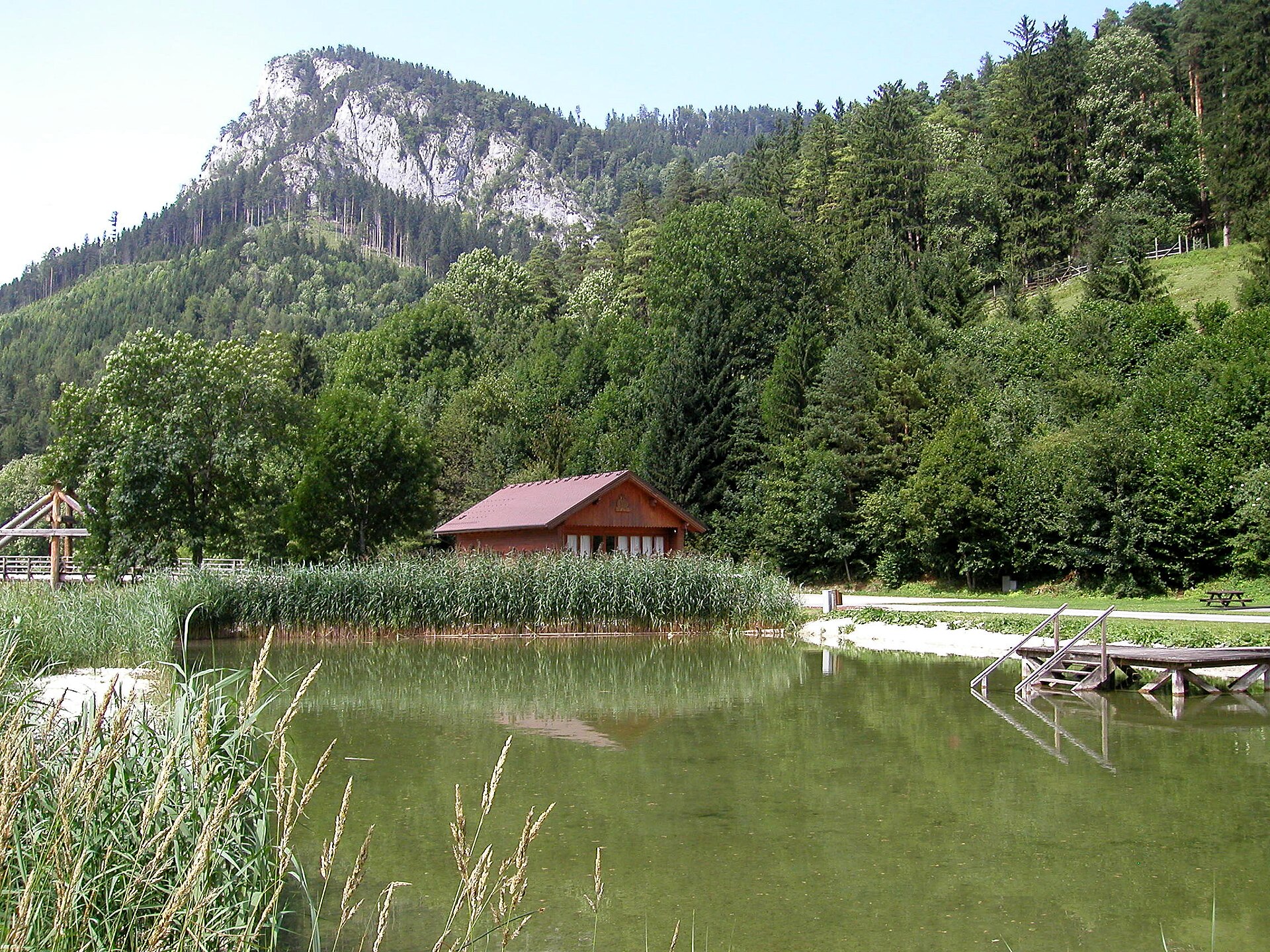
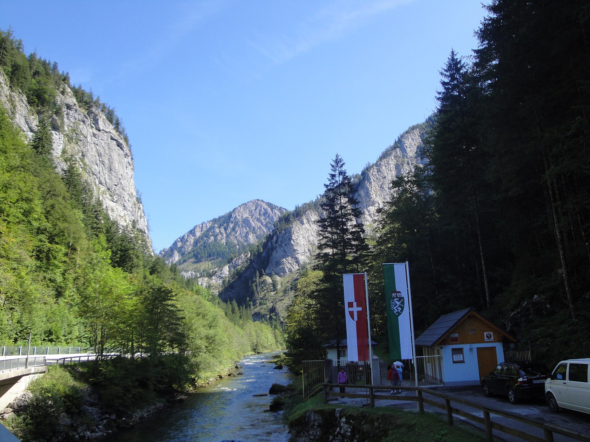
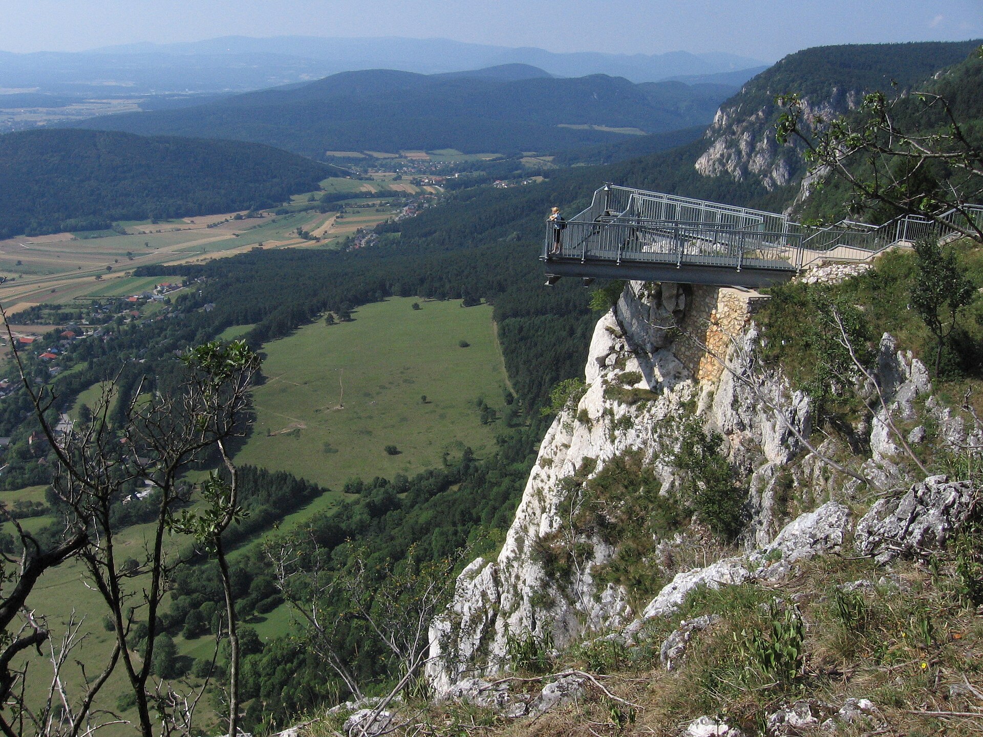
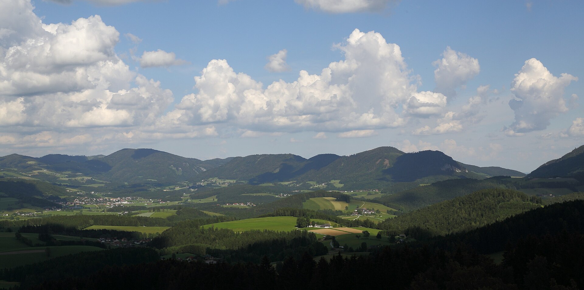
A terrestrial area, with forests and mountains.
What rocks lie beneath Mürzer Oberland Nature Park?
According to the European 1:1 million geological map (EGDI), the bedrock consists mainly of limestones (81% of sampled points) and sedimentary rocks (13%). These are mostly sedimentary rocks. The geological units date mainly from the Mesozoic (81% of sampled points).
What is the highest point of Mürzer Oberland Nature Park?
Heukuppe, at 2,007 m (OpenStreetMap).
What are the main summits of Mürzer Oberland Nature Park?
Heukuppe (2,007 m), Dreimarkstein (1,949 m), Windberg (1,903 m), Predigtstuhl (1,902 m) and Schusterstuhl (1,875 m) (OpenStreetMap).
When is the best time to visit Mürzer Oberland Nature Park?
Mildest period: from June to August, with average temperatures of 15 to 18 °C.
Is there snow in Mürzer Oberland Nature Park?
Yes. According to NASA's MODIS satellites (2015–2025 average), snow covers most of the site from December to February, and until March on higher ground, with about 110 snow-covered days a year on average.
What is there to see in Mürzer Oberland Nature Park?
Waterfall Totes Weib (915 m) (Wikidata).
Where can I stay in Mürzer Oberland Nature Park?
3 mountain huts, including Karl-Ludwig-Haus (1,804 m), Schneealpenhaus (1,788 m) and Waxriegelhaus (1,361 m) (Wikidata).
Are there historic monuments in Mürzer Oberland Nature Park?
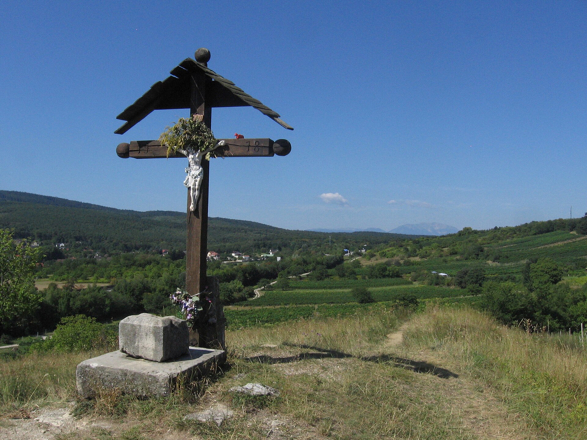
Yes. According to Wikidata, 7 monuments listed as protected monuments in Austria stand within the boundary. For example: “Pfarrhof Mürzsteg” in Neuberg an der Mürz, “Mariensäule Preiner Gscheid” in Reichenau an der Rax and “Pfarrkirche Mürzsteg” in Neuberg an der Mürz.
What is the nearest large city to Mürzer Oberland Nature Park?
Nearest towns of over 50,000 people, as the crow flies: St. Pölten (48 km) and Graz (64 km). Nearest airport: Graz (GRZ), about 72 km away.
How can I reach Mürzer Oberland Nature Park by train?
The nearest railway station is Mürzzuschlag, about 3 km from the site boundary.
Where can I get visitor information on site?
Naturpark Mürzer Oberland.
Are there waymarked hiking trails in Mürzer Oberland Nature Park?
Yes. Waymarked hiking routes listed in OpenStreetMap: 96, including E 4, E 6, Nordalpenweg and Nord-Süd Weitwanderweg. The “Nordalpenweg 01” route runs for about 34 km through the site, with some 710 m of ascent on its longest section.
Which species can be seen in Mürzer Oberland Nature Park?
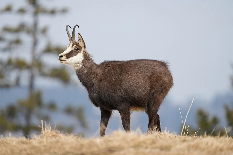
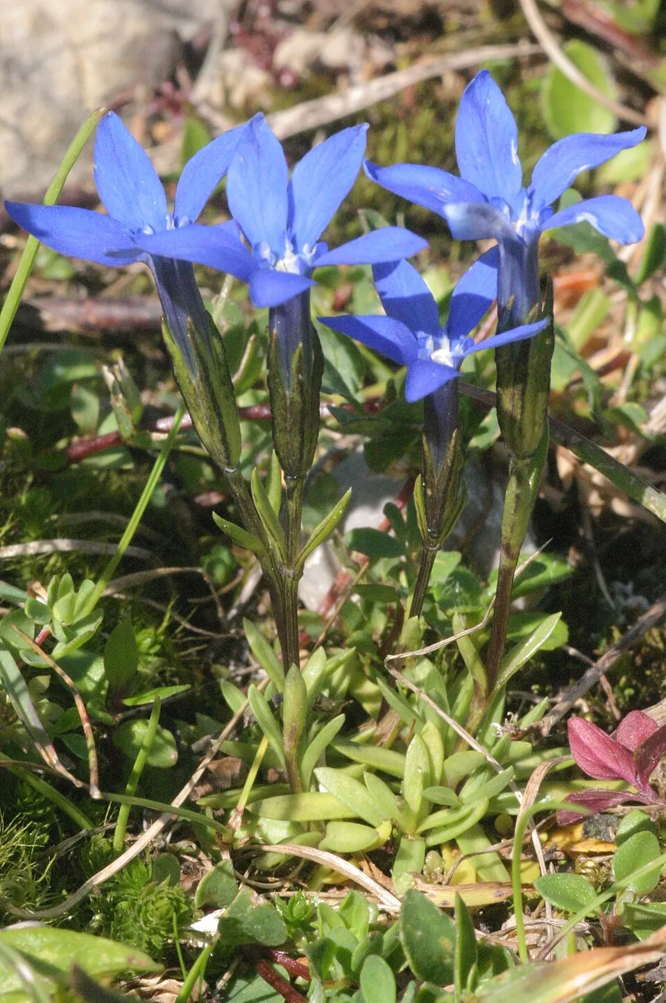
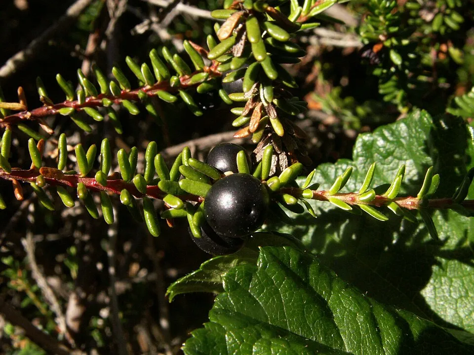
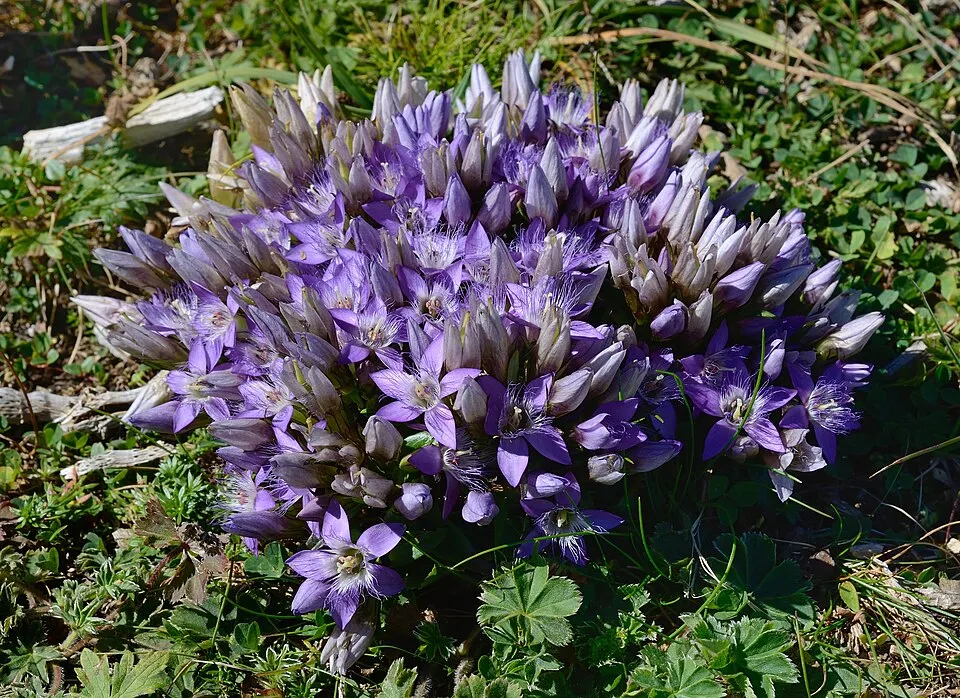
Among the species most often recorded on GBIF are Rupicapra rupicapra (Chamois), Gentiana asclepiadea (Willow Gentian), Gentiana pumila and Vaccinium gaultherioides.
© OpenStreetMap
Download the boundary: GeoJSON · GPX Boundary © OpenStreetMap contributors (ODbL).
Geography
The representative point of the site lies at around 871 m above sea level. Over the 1996–2025 period, the mean annual temperature is about 7.7 °C and total precipitation reaches roughly 1,322 mm per year. The warmest month is usually July, the coolest January, and the wettest July. According to the European 1:1 million geological map (EGDI), the bedrock consists mainly of limestones (81% of sampled points) and sedimentary rocks (13%). These are mostly sedimentary rocks. The geological units date mainly from the Mesozoic (81% of sampled points).
Area
- Area of the boundary
- 22,340 ha
- Elevation
- 871 m
- Median elevation
- 1,160 m
- Mean slope
- 25°
- Snow cover
- ≈ 110 days a year
- Coordinates
- 47.698, 15.544
Terrain: Mapzen Terrain Tiles (SRTM, USGS; © offene Daten Österreichs – Digitales Geländemodell (DGM) Österreich, CC BY 3.0 AT)
Elevation bands
- 500–1,000 m 26%
- 1,000–1,500 m 60%
- 1,500–2,000 m 14%
share of the site in each elevation band (smoothed terrain model: summits are rounded off) · Terrain: Mapzen Terrain Tiles (SRTM, USGS; © offene Daten Österreichs – Digitales Geländemodell (DGM) Österreich, CC BY 3.0 AT)
Bedrock
- Limestones 81 %
- Sedimentary rocks 13 %
- Mica schists 6 %
Sedimentary rocks 94 % · Metamorphic rocks 6 % · Main age: Mesozoic (81%)
Source: EGDI 1:1M geological map (EuroGeoSurveys and national geological surveys), CC BY 4.0 · 16 sampled points within the site.
Main summits
- Heukuppe2,007 m
- Dreimarkstein1,949 m
- Windberg1,903 m
- Predigtstuhl1,902 m
- Schusterstuhl1,875 m
- Großer Wildkamm1,874 m
- Hoher Klapf1,865 m
- Kleine Mitterbergwand1,863 m
- Schönhaltereck1,860 m
- Gamseck1,857 m
Data © OpenStreetMap contributors (ODbL)
Climate
● Mean temperature (°C) · ▮ Precipitation (mm)
Source: Copernicus ERA5-Land (C3S, doi:10.24381/cds.68d2bb30), monthly averages 1996–2025 interpolated to the representative point, temperatures adjusted for elevation.
Contains modified Copernicus Climate Change Service information 2026. Neither the European Commission nor ECMWF is responsible for any use that may be made of the Copernicus information or data it contains.
Snow cover measured by satellite
J
F
M
A
M
J
J
A
S
O
N
D
average share of the site under snow · snowiest parts · ≈ 110 days a year
Snow cover: MODIS/Terra MOD10CM v61 (Hall & Riggs, 2021, NASA NSIDC DAAC, doi:10.5067/MODIS/MOD10CM.061), imagery from NASA GIBS (ESDIS); 2015–2025 average, grid of about 5 km.
Natural habitats
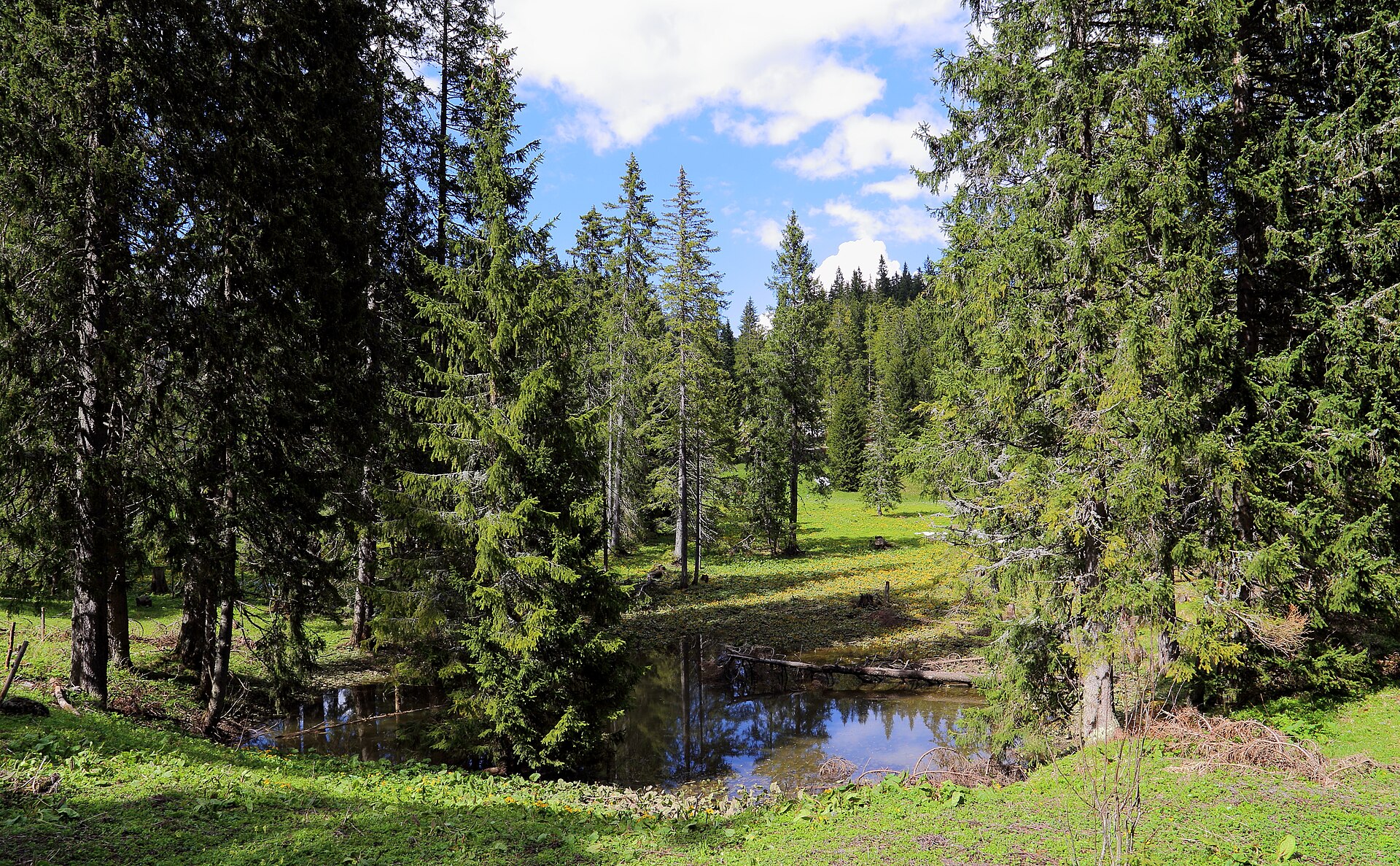
According to CORINE Land Cover (2018), the site is mainly made up of forests (71%), grassland and meadows (15%) and heath and scrub (7%). Woodland is mostly coniferous. Elevation ranges from about 810 m to 2,007 m (highest point: Heukuppe). Median elevation is 1,160 m, and 14% of the site lies above 1,500 m (SRTM and DGM Österreich elevation models). The terrain is steep: 33% of slopes exceed 30° (mean slope 25°).
Biodiversity
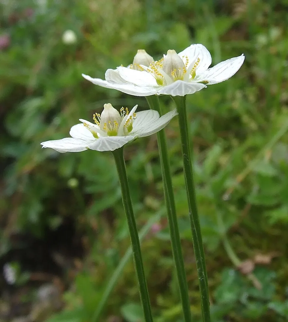
Based on occurrences aggregated by GBIF, several species are regularly recorded within the site. Among the most frequent are Rupicapra rupicapra (Chamois), Gentiana asclepiadea (Willow Gentian), Gentiana pumila and Vaccinium gaultherioides. The full list of documented taxa is shown below.
Species to look out for
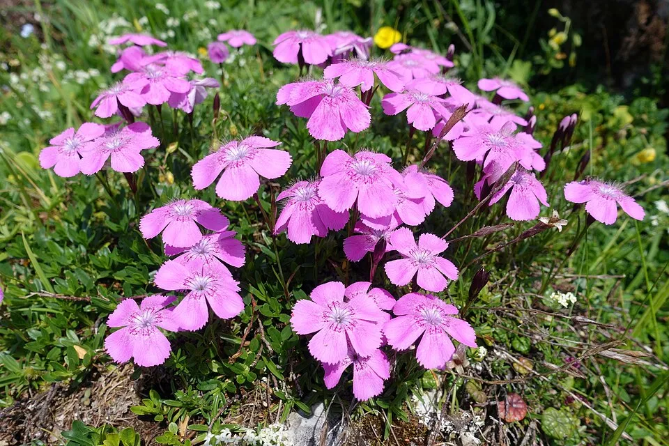
Observed species
Occurrences documented via GBIF; they are neither an exhaustive inventory nor proof of current presence.
- Chamois · Rupicapra rupicapra · 66
- Willow Gentian · Gentiana asclepiadea · 64
- Gentiana pumila · 51
- Vaccinium gaultherioides · 47
- Black crowberry · Empetrum nigrum · 45
- Gentianella austriaca · 42
- Grass-of-Parnassus · Parnassia palustris · 40
- Dianthus alpinus · 40
- Cowberry · Vaccinium vitis-idaea · 39
- Northern Raven · Corvus corax · 38
- Eurasian Chaffinch · Fringilla coelebs · 38
- Edelweiss · Leontopodium nivale · 36
+18 more species
- Red Crossbill · Loxia curvirostra · 36
- European globeflower · Trollius europaeus · 34
- Common Chiffchaff · Phylloscopus collybita · 33
- Coal tit · Periparus ater · 32
- Clusiana Primrose · Primula clusiana · 32
- Trailing azalea · Kalmia procumbens · 32
- Alpine Bearberry · Arctostaphylos alpinus · 30
- Alpine newt · Ichthyosaura alpestris · 29
- Small tortoiseshell · Aglais urticae · 28
- Alpine Chough · Pyrrhocorax graculus · 28
- Whorled lousewort · Pedicularis verticillata · 28
- Eightpetal mountain-avens · Dryas octopetala · 28
- Ox-eye · Buphthalmum salicifolium · 27
- Silver-washed fritillary · Argynnis paphia · 26
- Water Pipit · Anthus spinoletta · 26
- Martagon lily · Lilium martagon · 26
- Doronicum glaciale · 26
- Dunnock · Prunella modularis · 26
Records: GBIF.org (CC-BY). Names: Wikidata (CC0), GBIF. Photos: Wikimedia Commons.
Conservation challenges
The primary purpose of the site is to preserve its natural habitats and the biodiversity they support. The species recorded (Biodiversity tab) reflect its ecological value. Its status as a nature park sets the regulatory framework for its protection.
According to Global Forest Change data (University of Maryland, Global Forest Watch), about 1,930 ha of tree cover were lost within the boundary between 2001 and 2023 (9% of its area), peaking in 2007 and 2010. These losses include logging, storms and fires, and do not account for regrowth. Apart from forest felling and regrowth (about 590 ha in total), land cover remained almost unchanged between 1990 and 2018 according to CORINE Land Cover. At night, the area gives off virtually no artificial light detectable from space (NASA VIIRS Black Marble composite, 2016). Built-up and developed land (buildings, business areas, roads, quarries) covers 2% of the area (CORINE Land Cover). According to the Water Framework Directive assessment (2022 river basin management plans, data 2016–2021), 61% of the 61 km of rivers assessed within the site are in good or high ecological status. Invasive alien species have been recorded within the site since 2000 (GBIF observations), one of them listed as of Union concern. Among them: Impatiens glandulifera (Himalayan Balsam) and Lupinus polyphyllus (Large-leaved lupine).
Pressure indicators
Tree cover lost
1,925 ha
2001–2023
20012023
Fires since 2016
0
No large fire mapped (fires over about 30 ha)
Light at night
0%
of the area gives off artificial light visible from space
DarkLit
Built-up land
2%
buildings, business areas, roads, quarries
Land cover change
< 0.5%
of the area changed, 1990–2018 · CORINE
forest felling and regrowth: 590 ha in total
Rivers and lakes
61%
of the 61 km of assessed rivers in good or high ecological status · WFD 2022
assessments 2016–2021
Invasive alien species
2
incl. 1 of EU concern · since 2000
 Himalayan BalsamEU
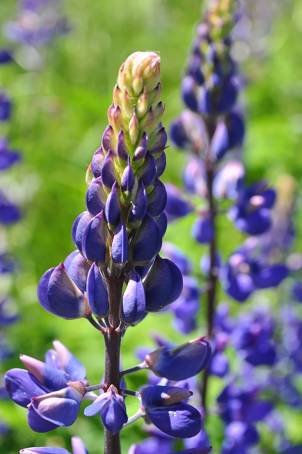 Large-leaved lupine
Photos: Himalayan Balsam © Guptaele · CC BY-SA 4.0; Large-leaved lupine © Joe Mabel (on Flickr as Joe Mabel from Seattle, US) · CC BY-SA 3.0
Sources: Global Forest Change (Hansen et al., University of Maryland, via Global Forest Watch, CC-BY 4.0); EFFIS, European Commission / Copernicus; NASA Black Marble 2016 (public domain); CORINE Land Cover 2018 (Copernicus) or MODIS.
CORINE Land Cover Change 1990–2018: generated using European Union's Copernicus Land Monitoring Service information (EEA), aggregated by Parkavela; DOI 10.2909/f30f1000-7cf8-43bb-872c-5eb093911b24.
Ecological status of water bodies: European Environment Agency, WISE – Water Framework Directive, 3rd river basin management plans (2022), CC BY 4.0. Official national classification, not comparable between countries.
Invasive alien species: Global Register of Introduced and Invasive Species (ISSG, CC BY 4.0); Union list, Regulation (EU) 1143/2014 (INBO, CC0); GBIF.org records (CC0 / CC BY 4.0), at least 2 per species.
Practical information
Cities and airport
- St. Pölten
48 km as the crow flies - Graz
64 km as the crow flies - Airport: Graz (GRZ)
72 km as the crow flies
Visitor information
- Naturpark Mürzer Oberland
< 1 km from the site boundary
Where to stay
3 mountain huts
- Karl-Ludwig-Haus
mountain hut · 1,804 m - Schneealpenhaus
mountain hut · 1,788 m - Waxriegelhaus
mountain hut · 1,361 m
Hiking
96 waymarked routes listed, including:
E 4E 6NordalpenwegNord-Süd WeitwanderwegSteirischer MariazellerwegVom Gletscher zum Wein
Trail difficulty
- T1 · easy hiking · 35% · 84 km
- T2 · mountain hiking · 55% · 125 km
- T3–T6 · demanding or alpine hiking · 10% · 24 km
232 km graded out of 308 km of paths
SAC scale (T1–T6) © OpenStreetMap contributors (ODbL): indicative only, check with the park.
By bike
R5 Mürztalradweg · 6 km
Signed cycle routes: this does not mean that cycling is allowed on footpaths.
Data © OpenStreetMap contributors (ODbL) · Wikidata (CC0)
Routes © OpenStreetMap contributors (ODbL), via Waymarked Trails
Waymarked hiking routes
E4 Europäischer Fernwanderweg E4 alpin (Eisenerz - Rax)
33.6 km within the site ↗ 707 m↘ 1,653 m 750–1,903 m
E6 European long distance path E6 - Main route Austria
2.6 km within the site ↗ 75 m↘ 56 m 1,366–1,446 m
01 Nordalpenweg 01
34.1 km within the site ↗ 707 m↘ 1,653 m 750–1,903 m
01A Nordalpenweg 01A - Burgenlandroute
5 km within the site ↗ 136 m↘ 777 m 1,064–1,850 m
up to T2 · mountain hiking
Tracks © OpenStreetMap contributors (ODbL), clipped to the boundary; elevation gain and profiles computed on the longest section from Mapzen Terrain Tiles (≈ 30 m), indicative only. Indicative difficulty (SAC scale, OpenStreetMap, via Waymarked Trails): check with the park.
Access and visiting
The nearest railway station is Mürzzuschlag, about 3 km from the site boundary. Nearest towns of over 50,000 people, as the crow flies: St. Pölten (48 km) and Graz (64 km). Nearest airport: Graz (GRZ), about 72 km away. About 80,000 people live within 20 km of the site boundary, 26,000 of them within 10 km; some 1,700 people are estimated to live inside (GHSL estimate, 2020). This population has fallen by about 10% since 2000. Visitor information on site: Naturpark Mürzer Oberland. Waymarked hiking routes listed in OpenStreetMap: 96, including E 4, E 6, Nordalpenweg and Nord-Süd Weitwanderweg. Of the roughly 230 km of paths with a difficulty grade in OpenStreetMap, 35% are easy hiking (T1), 55% mountain hiking (T2) and 10% demanding or alpine hiking (T3–T6). This is indicative only: check with the park. A signed cycle route crosses the site: “R5 Mürztalradweg” (OpenStreetMap). To see: waterfall Totes Weib (915 m). Where to stay: 3 mountain huts, including Karl-Ludwig-Haus (1,804 m), Schneealpenhaus (1,788 m) and Waxriegelhaus (1,361 m). To plan a visit (access, opening periods, visitor rules), it is best to consult the official information from the managing body and the official website listed in this page's sources.
Source: OpenStreetMap (ODbL), Wikidata (CC0), October 2026.
Built heritage
According to Wikidata, 7 monuments listed as protected monuments in Austria stand within the boundary. Among them are 2 religious buildings. Examples include “Pfarrhof Mürzsteg” in Neuberg an der Mürz, “Mariensäule Preiner Gscheid” in Reichenau an der Rax and “Pfarrkirche Mürzsteg” in Neuberg an der Mürz.
-
Pfarrhof Mürzsteg
Neuberg an der Mürz -
Mariensäule Preiner Gscheid
Reichenau an der Rax -
Pfarrkirche Mürzsteg
Neuberg an der Mürz -
Mürzsteg Hunting Lodge
Neuberg an der Mürz · 19th c. -
Arbeiterwohnhaus
Neuberg an der Mürz -
Berghaus
Neuberg an der Mürz -
Volksschule
Neuberg an der Mürz
Source: Wikidata (CC0), monuments in each country’s official heritage protection registers, at national or regional level. Each item links to its Wikidata entry.
When to visit
Mildest period: from June to August, with average temperatures of 15 to 18 °C. Average temperatures drop below 0 °C from December to February: frost is common. Precipitation peaks from May to August (up to 170 mm per month). These averages apply to the site's representative point (871 m); higher up it is markedly cooler and snow lasts longer. According to NASA's MODIS satellites (2015–2025 average), snow covers most of the site from December to February, and until March on higher ground, with about 110 snow-covered days a year on average. Day length ranges from about 8 h 26 min in December to 15 h 58 min in June. Wildlife records published on GBIF peak for birds (June), plants (June and July), butterflies and moths (June and July) and mammals (June). These peaks also reflect when observers are most active.
Source: Copernicus ERA5-Land (C3S), monthly averages 1996–2025 at the representative point, temperatures adjusted for elevation.
Contains modified Copernicus Climate Change Service information 2026. Neither the European Commission nor ECMWF is responsible for any use that may be made of the Copernicus information or data it contains.
Wildlife records calendar
JFMAMJJASOND
Birds
Plants
Butterflies & moths
Mammals
Monthly records published on GBIF (CC-BY), relative to the busiest month; also reflects observer activity.
Gallery
© C.Stadler/Bwag · CC BY-SA 3.0
© Herzi Pinki · CC BY-SA 3.0
© C.Stadler/Bwag · CC BY-SA 3.0
© (c) Lorin Timaeus, some rights reserved (CC BY) · CC BY 4.0
© TheRunnerUp · CC BY-SA 4.0
© C.Stadler/Bwag · CC BY-SA 4.0
Sources and licences
- Wikidata: Q1970546
- OpenStreetMap: relation 12742526
- Wikipedia: de.wikipedia.org/wiki/Naturpark_Mürzer_Oberland
References
- cds.climate.copernicus.eu: climate · CC-BY-4.0
- registry.opendata.aws: elevation of the reference point, detailed relief · CC-BY-3.0
- land.copernicus.eu: land cover, land cover change, sea share · COPERNICUS
- doi.org: population around the site · CC-BY-4.0
- openstreetmap.org: access and peaks, trail difficulty · ODbL-1.0
- eea.europa.eu: bathing water quality, ecological status of waters · CC-BY-4.0
- en.eurovelo.com: EuroVelo cycle routes · ODbL-1.0
- cycling.waymarkedtrails.org: cycle routes · ODbL-1.0
- opentopodata.org: elevations · PD
- forest-fire.emergency.copernicus.eu: wildfires · COPERNICUS
- globalforestwatch.org: tree cover loss · CC-BY-4.0
- gbif.org: seasonality of sightings, invasive alien species, observed species · CC-BY-4.0
- europe-geology.eu: geology · CC-BY-4.0
- wikidata.org: protected heritage, official name, nearby cities and airport, access and peaks, lake depths, places to see · CC0-1.0
- hydrosheds.org: lakes · CC-BY-4.0
- earthobservatory.nasa.gov: night light · PD
- hiking.waymarkedtrails.org: route difficulty · ODbL-1.0
- nsidc.org: snow cover · PD
- wikidata.org: Wikipedia article · CC-BY-SA-4.0
Data © OpenStreetMap contributors (ODbL), Wikidata (CC0) and the sources cited.