Austria · Terrestrial
Falkenstein Nature Park
Nature park of 19 hectares in Austria.
Overview
Nature park of 19 hectares in Austria.
Falkenstein Nature Park is located in Austria (Europe). It is a predominantly terrestrial area. It covers about 19 hectares.
Protections and designations
Natura 2000 · habitats (SAC)
Protected as a nature park. International labels and designations: Natura 2000 network (1 site: “Nordöstliche Randalpen: Hohe Wand - Schneeberg - Rax”).
In our collections
Frequently asked questions
Where is Falkenstein Nature Park?
In Austria (Europe). Representative point: 47.8139° N, 15.7056° E.
How large is Falkenstein Nature Park?
About 19 hectares. It is the 21st largest of the 21 nature parks in Austria covered by Parkavela.
What habitats and landscapes does Falkenstein Nature Park include?
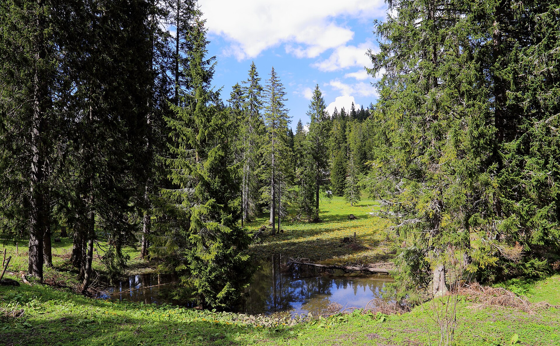
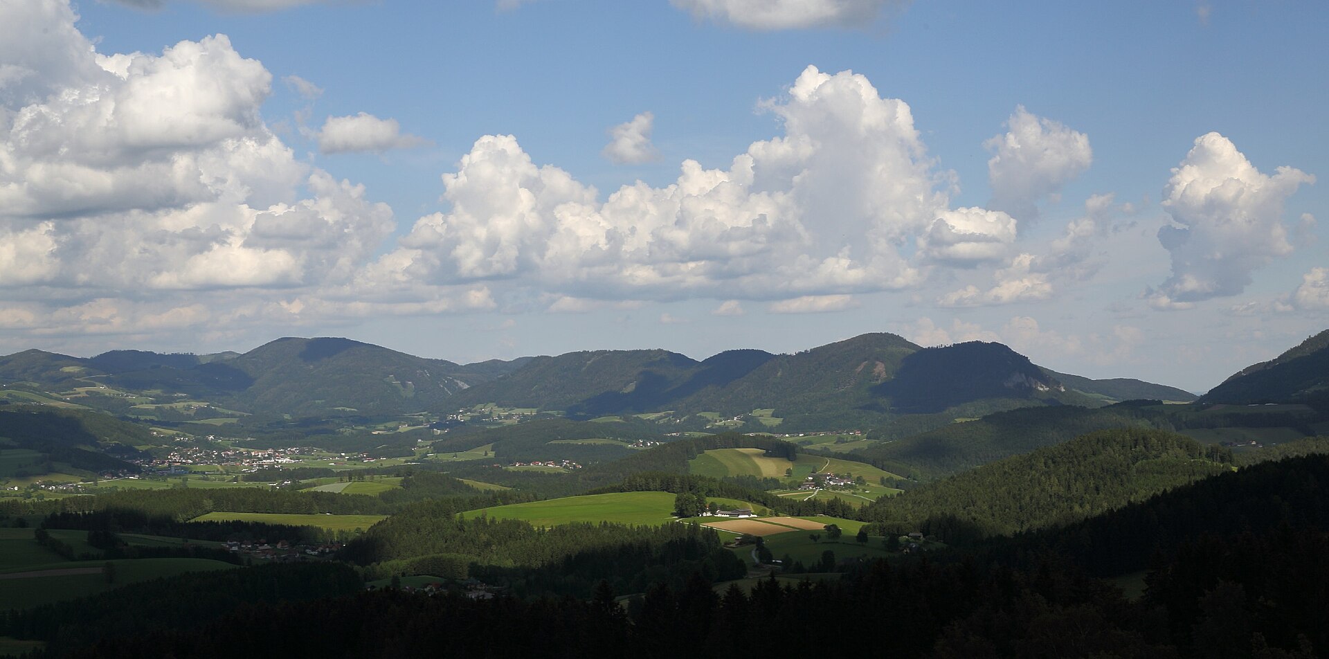
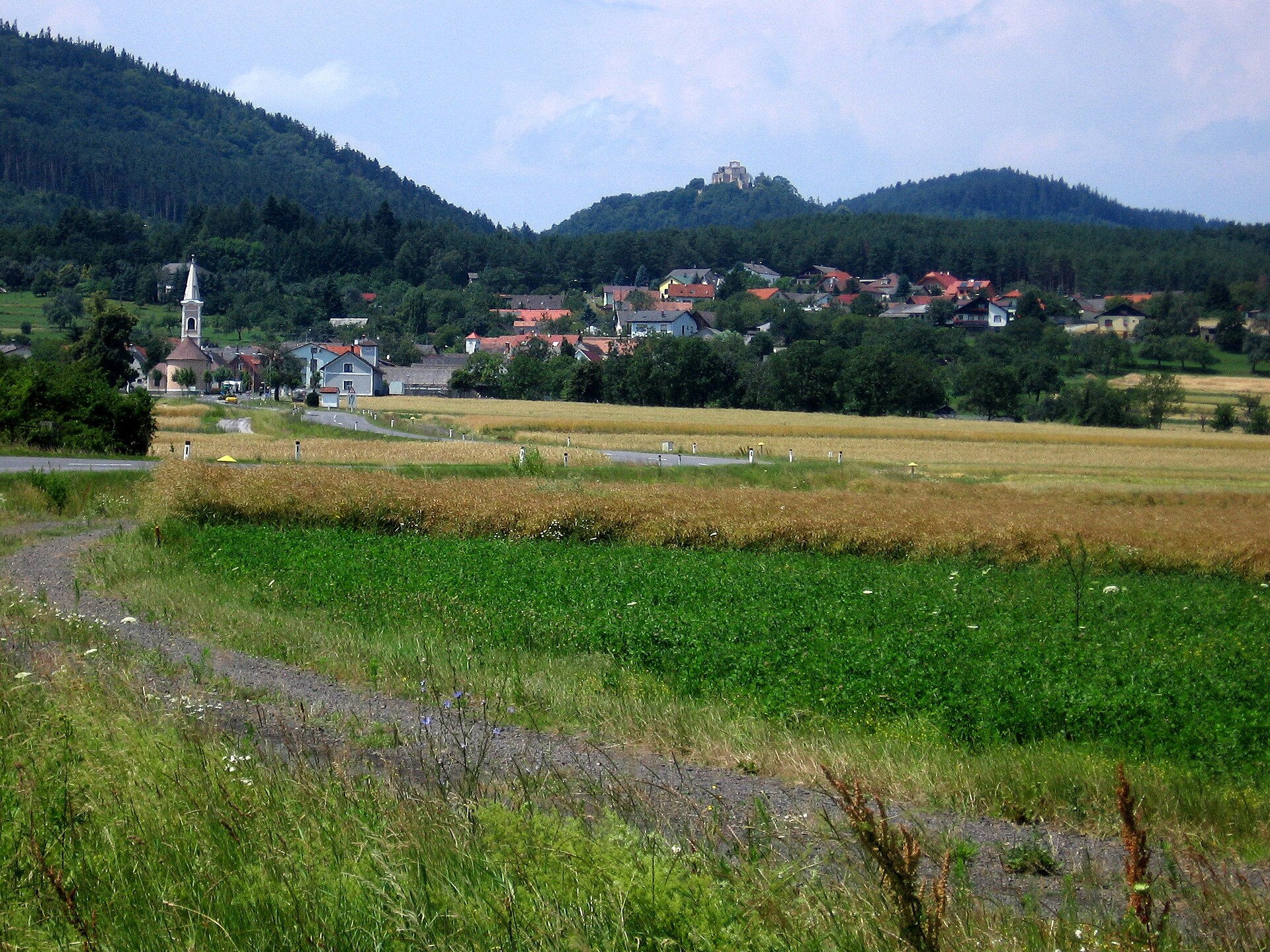
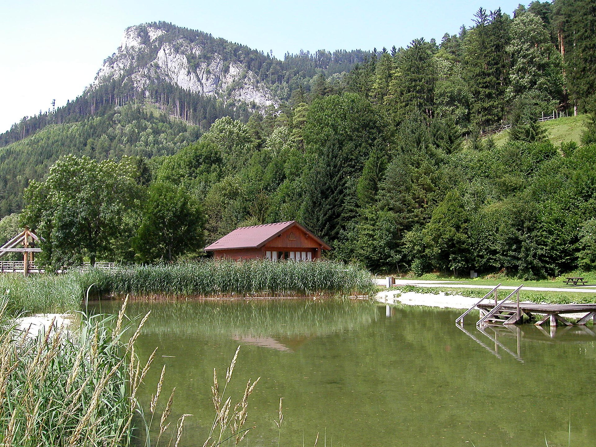
A terrestrial area, with forests.
What rocks lie beneath Falkenstein Nature Park?
According to the European 1:1 million geological map (EGDI), the bedrock consists mainly of limestones (100% of sampled points). These are mostly sedimentary rocks. The geological units date mainly from the Mesozoic (100% of sampled points).
Which international labels apply to Falkenstein Nature Park?
Natura 2000 network (1 site: “Nordöstliche Randalpen: Hohe Wand - Schneeberg - Rax”).
Is there snow in Falkenstein Nature Park?
Yes. According to NASA's MODIS satellites (2015–2025 average), snow covers most of the area from December to February, with about 80 snow-covered days a year on average.
What is the nearest large city to Falkenstein Nature Park?
Nearest towns of over 50,000 people, as the crow flies: St. Pölten (43 km) and Vienna (66 km). Nearest airport: Wien-Schwechat (VIE), about 72 km away.
How can I reach Falkenstein Nature Park by train?
The nearest railway station is Hochschneeberg Bergbahnhof, about 11 km from the site boundary.
Are there waymarked hiking trails in Falkenstein Nature Park?
Yes. Waymarked hiking routes listed in OpenStreetMap: 1.
Which species can be seen in Falkenstein Nature Park?
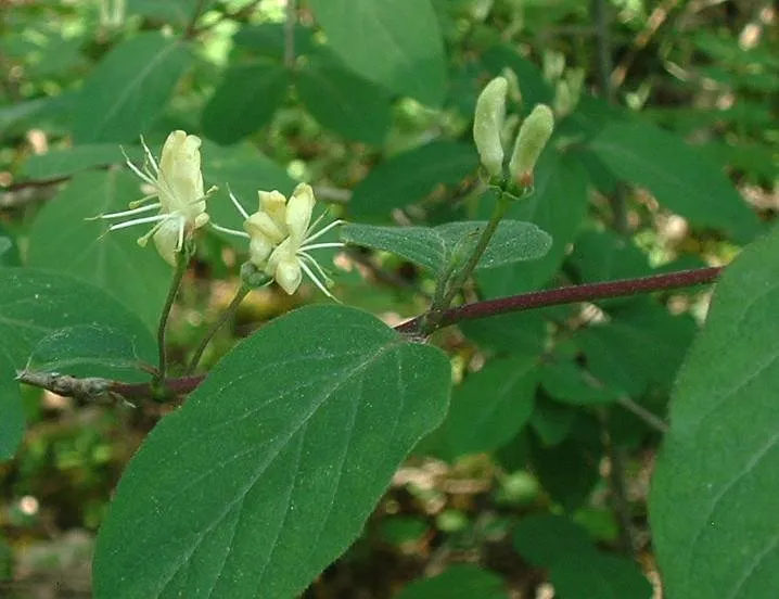
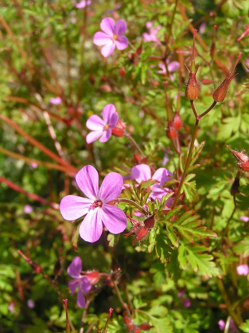
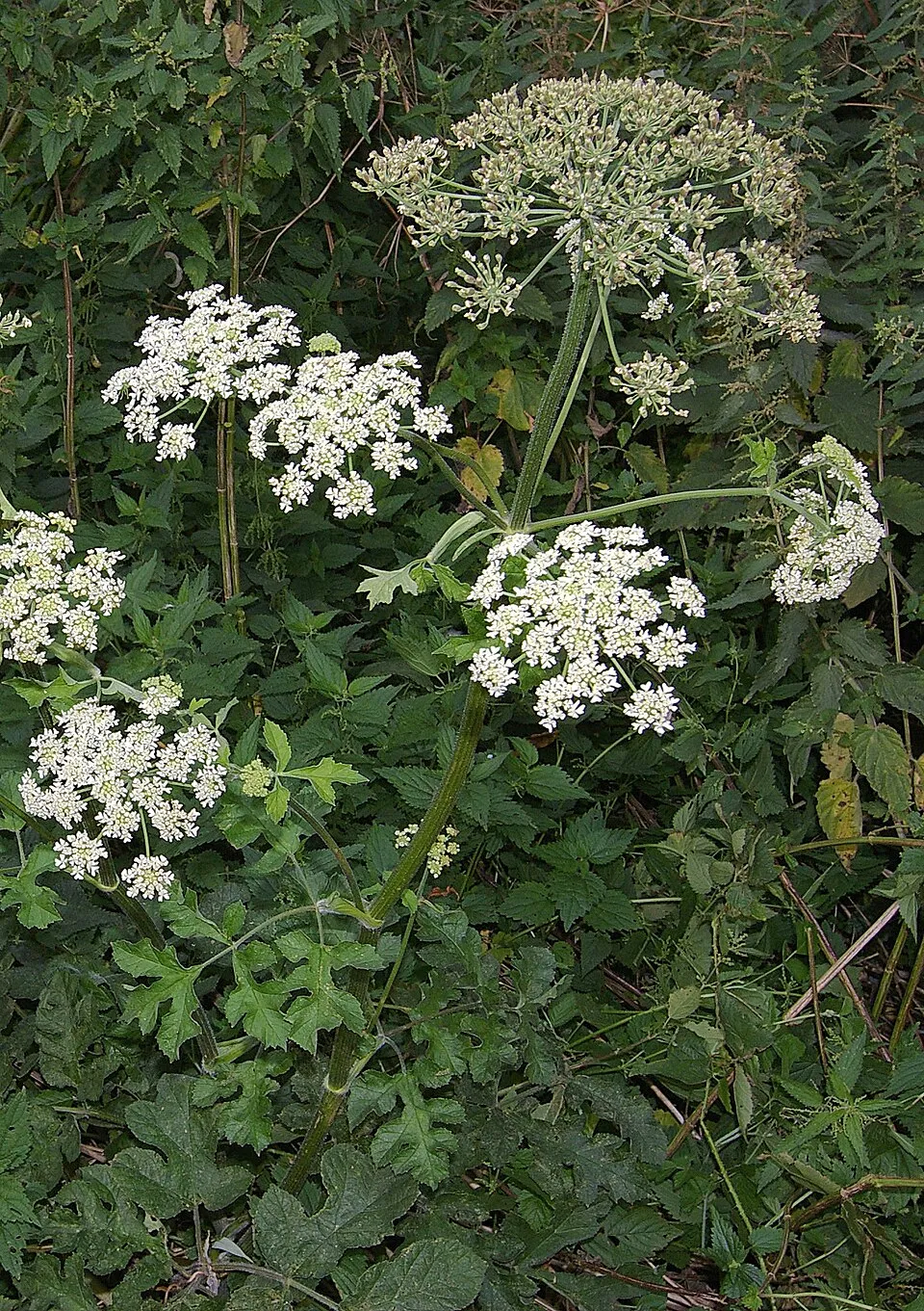
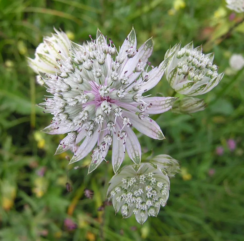
Among the species most often recorded on GBIF are Lonicera xylosteum (Fly honeysuckle), Geranium robertianum (Herb-robert), Heracleum sphondylium (Hogweed) and Astrantia major (Great masterwort).
© OpenStreetMap
Download the boundary: GeoJSON · GPX Boundary © OpenStreetMap contributors (ODbL).
Geography
According to the European 1:1 million geological map (EGDI), the bedrock consists mainly of limestones (100% of sampled points). These are mostly sedimentary rocks. The geological units date mainly from the Mesozoic (100% of sampled points).
Area
- Area of the boundary
- 19.1 ha
- Median elevation
- 664 m
- Mean slope
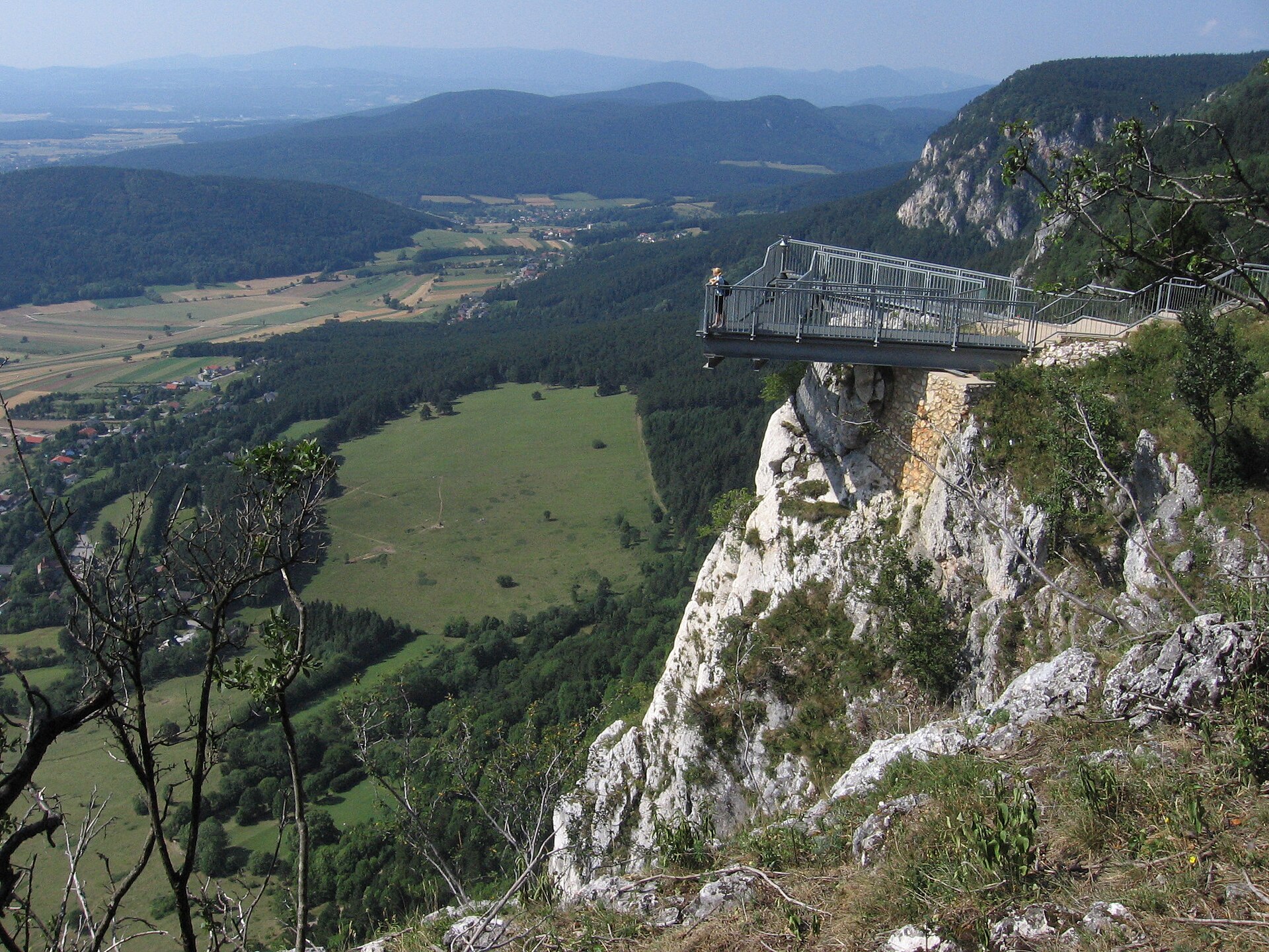
- 30°
- Snow cover
- ≈ 80 days a year
- Coordinates
- 47.8139, 15.7056
Terrain: Mapzen Terrain Tiles (SRTM, USGS; © offene Daten Österreichs – Digitales Geländemodell (DGM) Österreich, CC BY 3.0 AT)
Bedrock
- Limestones 100 %
Sedimentary rocks 100 % · Main age: Mesozoic (100%)
Source: EGDI 1:1M geological map (EuroGeoSurveys and national geological surveys), CC BY 4.0 · 16 sampled points within the site.
Snow cover measured by satellite
J
F
M
A
M
J
J
A
S
O
N
D
average share of the area under snow · snowiest parts · ≈ 80 days a year
Snow cover: MODIS/Terra MOD10CM v61 (Hall & Riggs, 2021, NASA NSIDC DAAC, doi:10.5067/MODIS/MOD10CM.061), imagery from NASA GIBS (ESDIS); 2015–2025 average, grid of about 5 km.
Natural habitats
According to CORINE Land Cover (2018), the site is mainly made up of forests (83%) and built-up or developed land (13%). Woodland is mostly coniferous. Elevation ranges from about 610 to 790 m (sampled elevations, SRTM). The terrain is steep: 42% of slopes exceed 30° (mean slope 30°). The Natura 2000 site overlapping the area lists 40 habitats of European interest (13 priority), the most extensive being Asperulo-Fagetum beech forests, (Sub-) Mediterranean pine forests with endemic black pines and acidophilous Picea forests of the montane to alpine levels (Vaccinio-Piceetea).
Biodiversity
Based on occurrences aggregated by GBIF, several species are regularly recorded within the site. Among the most frequent are Lonicera xylosteum (Fly honeysuckle), Geranium robertianum (Herb-robert), Heracleum sphondylium (Hogweed) and Astrantia major (Great masterwort). The full list of documented taxa is shown below. The overlapping Natura 2000 site lists 84 species of European interest: 35 mammals, 5 reptiles, 7 amphibians, 3 fish, 22 invertebrates and 12 plants.
Habitats of European interest
From the official form of the Natura 2000 site overlapping the area (areas reported for the whole site).
- Asperulo-Fagetum beech forests 6,159 ha
- (Sub-) Mediterranean pine forests with endemic black pines priority 1,878 ha
- Acidophilous Picea forests of the montane to alpine levels (Vaccinio-Piceetea) 1,859 ha
- Bushes with Pinus mugo and Rhododendron hirsutum (Mugo-Rhododendretum hirsuti) priority 1,393 ha
- Calcareous rocky slopes with chasmophytic vegetation 998 ha
- Alpine and subalpine calcareous grasslands 880 ha
- Semi-natural dry grasslands and scrubland facies on calcareous substrates (Festuco-Brometalia) (* important orchid sites) 800 ha
- Medio-European limestone beech forests of the Cephalanthero-Fagion 517 ha
and 32 more
Species of European interest
Mammals · 35
Barbastelle (Barbastella barbastellus), Grey wolf (Canis lupus), Alpine Ibex (Capra ibex), European hamster (Cricetus cricetus), Northern Bat (Eptesicus nilssonii), Serotine bat (Eptesicus serotinus), Savi's Pipistrelle (Hypsugo savii), Mountain Hare (Lepus timidus), Eurasian otter (Lutra lutra), European pine marten (Martes martes), Steppe Polecat (Mustela eversmanii), Western Polecat (Mustela putorius) and 23 more
Reptiles · 5
Smooth snake (Coronella austriaca), Aesculapian snake (Elaphe longissima), Sand lizard (Lacerta agilis), Green lizard (Lacerta viridis), Common wall lizard (Podarcis muralis)
Amphibians · 7
Yellow-bellied toad (Bombina variegata), Common tree frog (Hyla arborea), Edible frog (Pelophylax esculentus), Agile frog (Rana dalmatina), Common frog (Rana temporaria), Alpine salamander (Salamandra atra), Italian crested newt (Triturus carnifex)
Invertebrates · 22
Noble crayfish (Astacus astacus), Stone crayfish (Austropotamobius torrentium), Goldstreifiger (Buprestis splendens), Balkan goldenring (Cordulegaster heros), Eastern Eggar (Eriogaster catax), Marsh fritillary (Euphydryas aurinia), Scarce Fritillary (Euphydryas maturna), Jersey Tiger (Euplagia quadripunctaria), Helicopsis austriaca (Helicopsis striata austriaca), Keeled Plump Bush-cricket (Isophya costata), Yellow-spotted Whiteface (Leucorrhinia pectoralis), Stag beetle (Lucanus cervus) and 10 more
Plants · 12
Mountain arnica (Arnica montana), Buxbaumia moss (Buxbaumia viridis), Cladonia (cladina) subsp., Lady's-slipper orchid (Cypripedium calceolus), Snowdrop (Galanthus nivalis), Adriatic lizard orchid (Himantoglossum adriaticum), Leucobryum moss (Leucobryum glaucum), Ligularia sibirica, Ground And Creeping Clubmosses (Lycopodium spp.), Field Macewort (Mannia triandra), Greater Pasque Flower (Pulsatilla grandis), Sphagnum Mosses (Sphagnum spp.)
Source: Natura 2000 standard data forms (EEA, CC-BY 4.0). Not exhaustive: sensitive species are not published.
Species to look out for
Plant
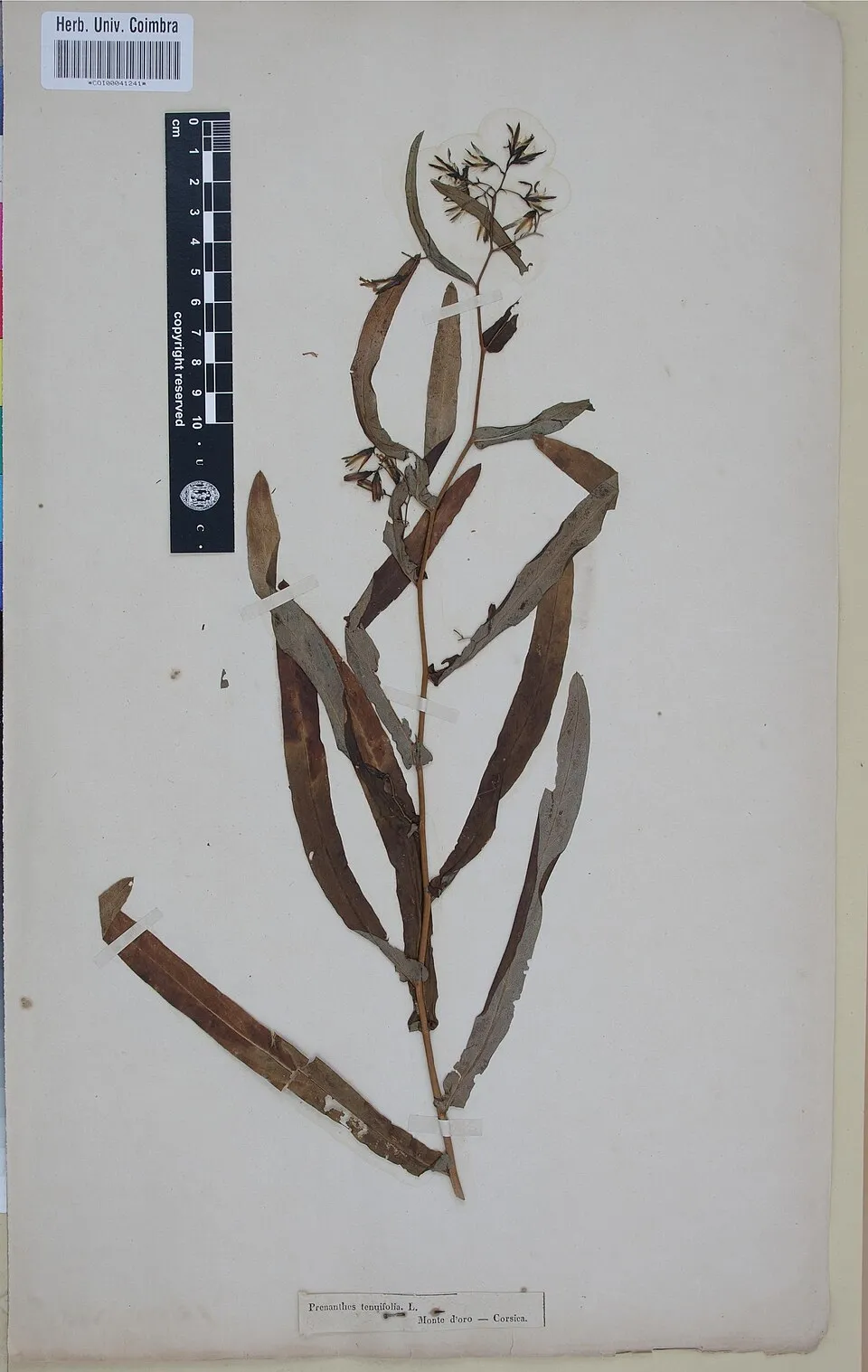
Purple lettuce
Prenanthes purpurea1 records © Herbarium of the University of Coimbra (COI) · CC BY 4.0
Observed species
Occurrences documented via GBIF; they are neither an exhaustive inventory nor proof of current presence.
- Fly honeysuckle · Lonicera xylosteum · 2
- Herb-robert · Geranium robertianum · 1
- Hogweed · Heracleum sphondylium · 1
- Great masterwort · Astrantia major · 1
- Purple lettuce · Prenanthes purpurea · 1
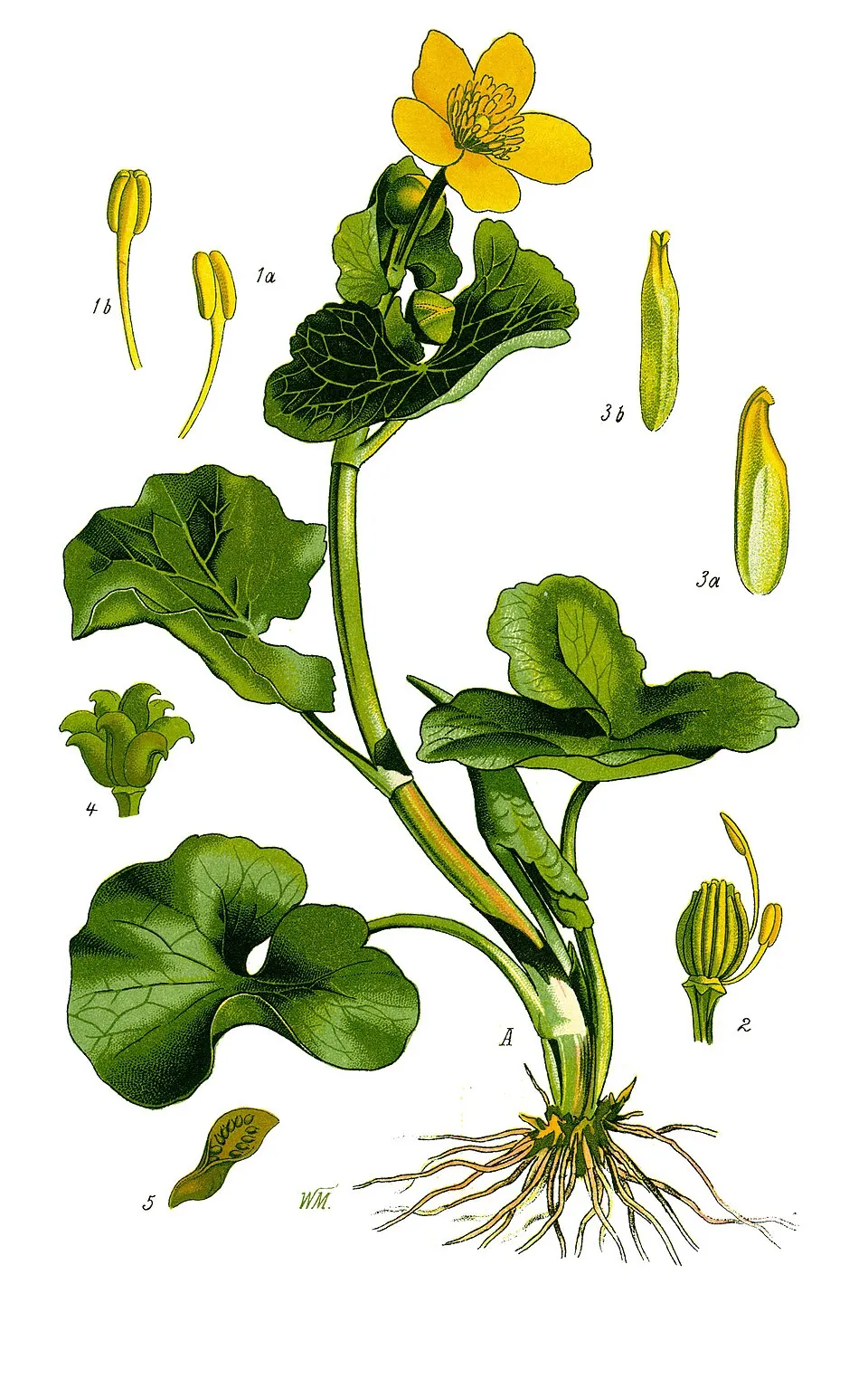
- Marsh-marigold · Caltha palustris · 1
- Greater burnet-saxifrage · Pimpinella major · 1
- Mezereon · Daphne mezereum · 1
- Limestone woundwort · Stachys alpina · 1
Records: GBIF.org (CC-BY). Names: Wikidata (CC0), GBIF. Photos: Wikimedia Commons.
Conservation challenges
The primary purpose of the site is to preserve its natural habitats and the biodiversity they support. The species recorded (Biodiversity tab) reflect its ecological value. The designations it holds frame its management and the control of land use.
At night, the area gives off virtually no artificial light detectable from space (NASA VIIRS Black Marble composite, 2016). Built-up and developed land (buildings, business areas, roads, quarries) covers 13% of the area (CORINE Land Cover). According to the Natura 2000 forms, of 40 assessed habitats of European interest, 12 are in excellent condition and the rest in good condition.
Pressure indicators
Fires since 2016
0
No large fire mapped (fires over about 30 ha)
Light at night
0%
of the area gives off artificial light visible from space
DarkLit
Built-up land
13%
buildings, business areas, roads, quarries
Sources: Global Forest Change (Hansen et al., University of Maryland, via Global Forest Watch, CC-BY 4.0); EFFIS, European Commission / Copernicus; NASA Black Marble 2016 (public domain); CORINE Land Cover 2018 (Copernicus) or MODIS.
Practical information
Cities and airport
- St. Pölten
43 km as the crow flies - Vienna
66 km as the crow flies - Airport: Wien-Schwechat (VIE)
72 km as the crow flies
Hiking
1 waymarked routes listed
Data © OpenStreetMap contributors (ODbL) · Wikidata (CC0)
Access and visiting
The nearest railway station is Hochschneeberg Bergbahnhof, about 11 km from the site boundary. Nearest towns of over 50,000 people, as the crow flies: St. Pölten (43 km) and Vienna (66 km). Nearest airport: Wien-Schwechat (VIE), about 72 km away. About 19,000 people live within 20 km of the site boundary, 2,200 of them within 10 km (GHSL estimate, 2020). This population has fallen by about 12% since 2000. Waymarked hiking routes listed in OpenStreetMap: 1. To plan a visit (access, opening periods, visitor rules), it is best to consult the official information from the managing body and the official website listed in this page's sources.
Source: OpenStreetMap (ODbL), Wikidata (CC0), October 2026.
When to visit
According to NASA's MODIS satellites (2015–2025 average), snow covers most of the area from December to February, with about 80 snow-covered days a year on average.
Gallery
© Einer flog zu Weit · CC BY-SA 3.0
© Clemens Mosch · CC BY-SA 4.0
Sources and licences
- Wikidata: Q1970485
- Wikipedia: de.wikipedia.org/wiki/Naturpark_Falkenstein-Schwarzau_im_Gebirge
References
- land.copernicus.eu: land cover, land cover change, sea share · COPERNICUS
- doi.org: population around the site · CC-BY-4.0
- openstreetmap.org: official name, access and peaks · ODbL-1.0
- eea.europa.eu: bathing water quality, ecological status of waters · CC-BY-4.0
- en.eurovelo.com: EuroVelo cycle routes · ODbL-1.0
- cycling.waymarkedtrails.org: cycle routes · ODbL-1.0
- opentopodata.org: elevations · PD
- forest-fire.emergency.copernicus.eu: wildfires · COPERNICUS
- globalforestwatch.org: tree cover loss · CC-BY-4.0
- gbif.org: seasonality of sightings, invasive alien species, observed species · CC-BY-4.0
- europe-geology.eu: geology · CC-BY-4.0
- wikidata.org: protected heritage, nearby cities and airport, access and peaks, lake depths, places to see · CC0-1.0
- hydrosheds.org: lakes · CC-BY-4.0
- natura2000.eea.europa.eu: Natura 2000 habitats and species · CC-BY-4.0
- earthobservatory.nasa.gov: night light · PD
- registry.opendata.aws: detailed relief · CC-BY-3.0
- nsidc.org: snow cover · PD
- wikidata.org: Wikipedia article · CC-BY-SA-4.0
Data © OpenStreetMap contributors (ODbL), Wikidata (CC0) and the sources cited.