Austria · Terrestrial
Almenland Nature Park
Nature park of 26,840 hectares in Austria.
Overview
Nature park of 26,840 hectares in Austria.
Almenland Nature Park is located in Austria (Europe). It is a predominantly terrestrial area. It covers about 26,840 hectares.
Protections and designations
Natura 2000 · habitats (SAC) · 2 sites
- Raabklamm AT2233000
- Weizklamm mit Wolfsattel AT2231000
Natura 2000 · birds (SPA)
- Raabklamm AT2233000
Protected as a nature park. International labels and designations: Natura 2000 network (2 sites). Key dates: first Natura 2000 site under the Birds Directive in 1998 and first Natura 2000 site under the Habitats Directive in 2006.
In our collections
Timeline
-
1998
First Natura 2000 site under the Birds Directive
-
2006
First Natura 2000 site under the Habitats Directive
Sources: Wikidata (CC0) for establishment and international labels; EEA Natura 2000 database (CC-BY 4.0) for site designation dates.
Frequently asked questions
Where is Almenland Nature Park?
In Austria (Europe). Representative point: 47.3229° N, 15.5585° E.
How large is Almenland Nature Park?
About 26,840 hectares (268 km²). It is the 5th largest of the 21 nature parks in Austria covered by Parkavela.
What habitats and landscapes does Almenland Nature Park include?
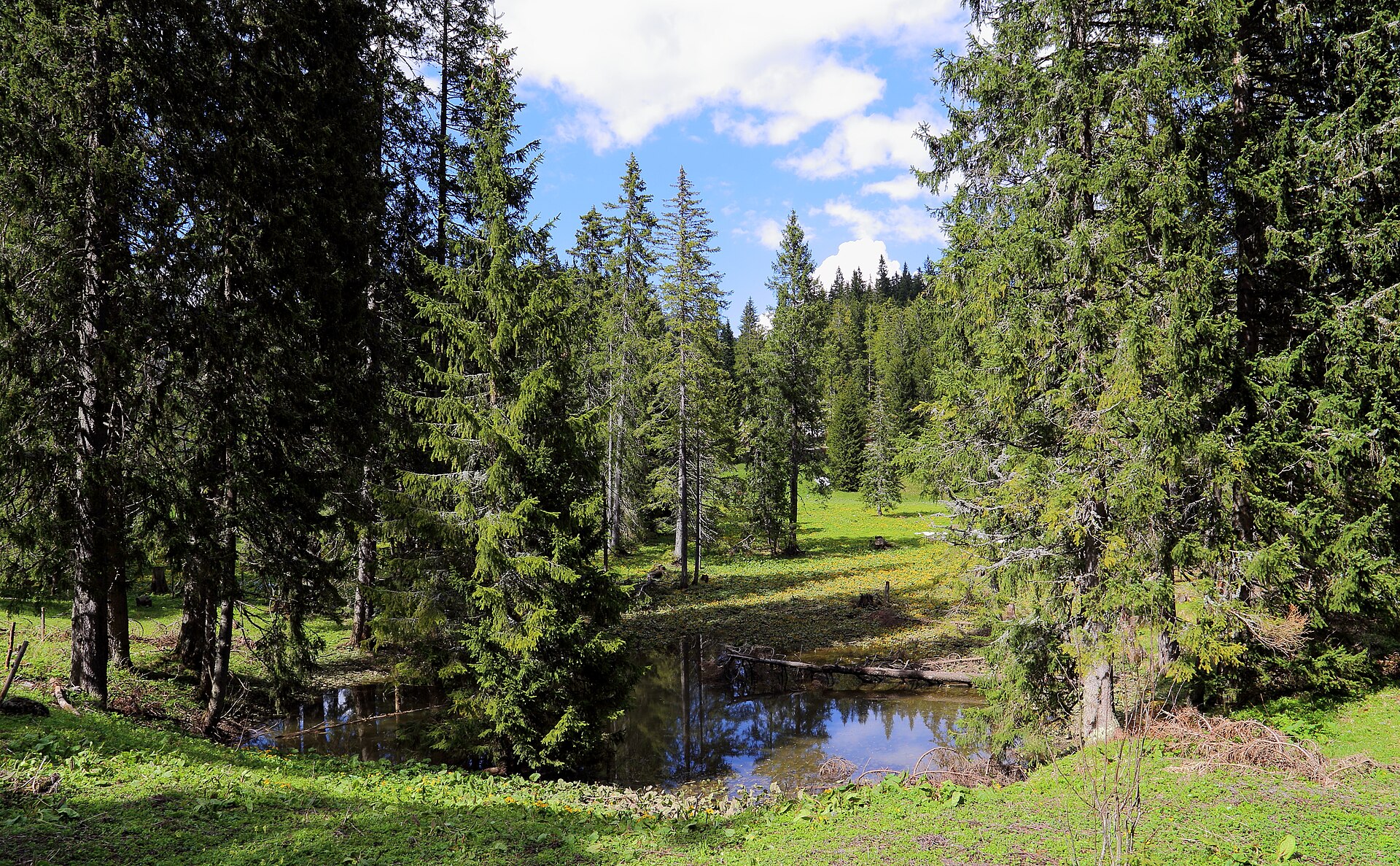
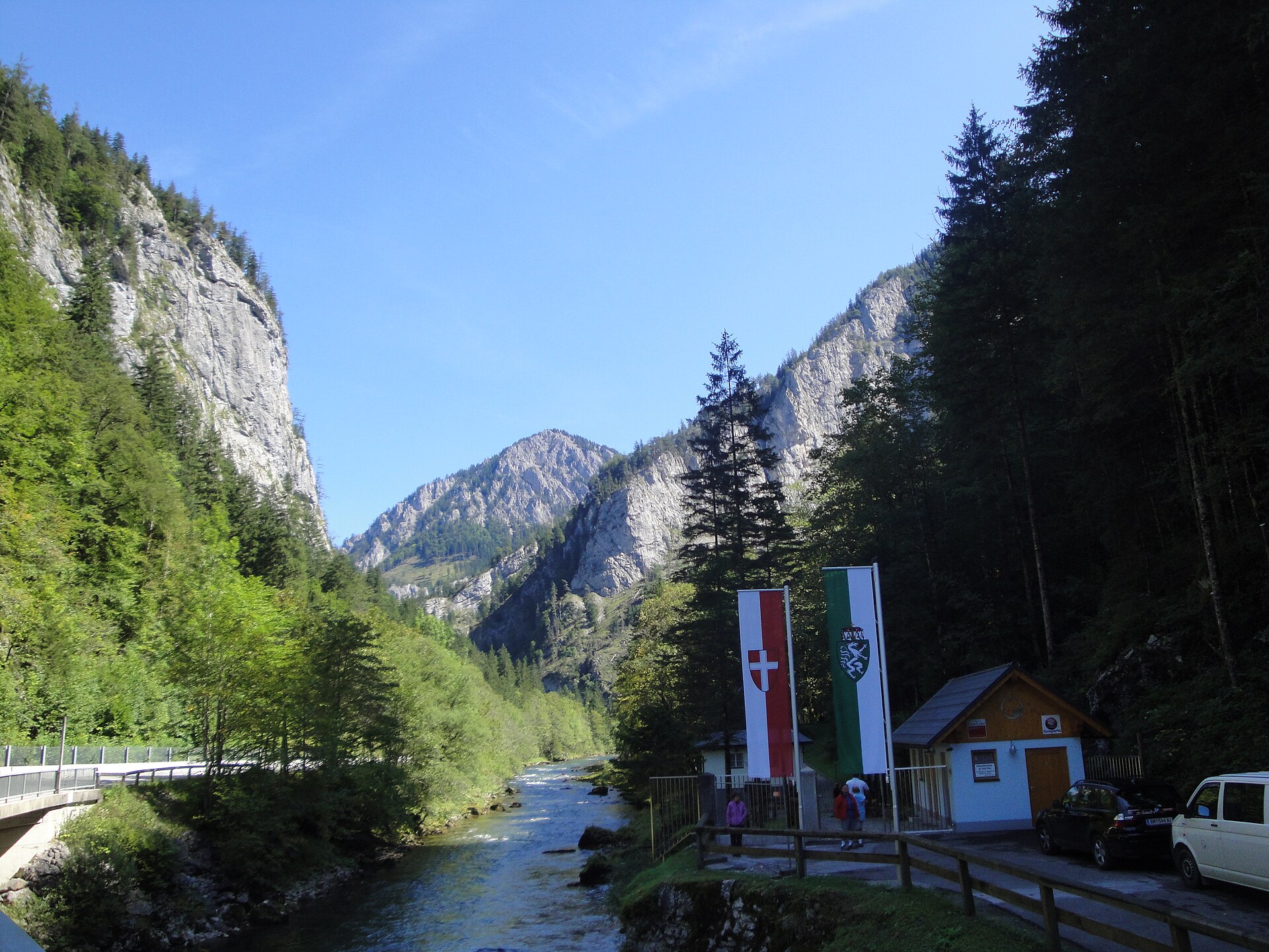
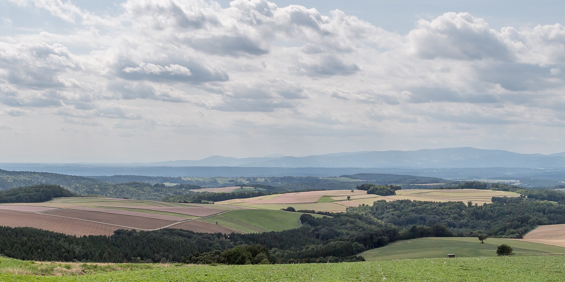
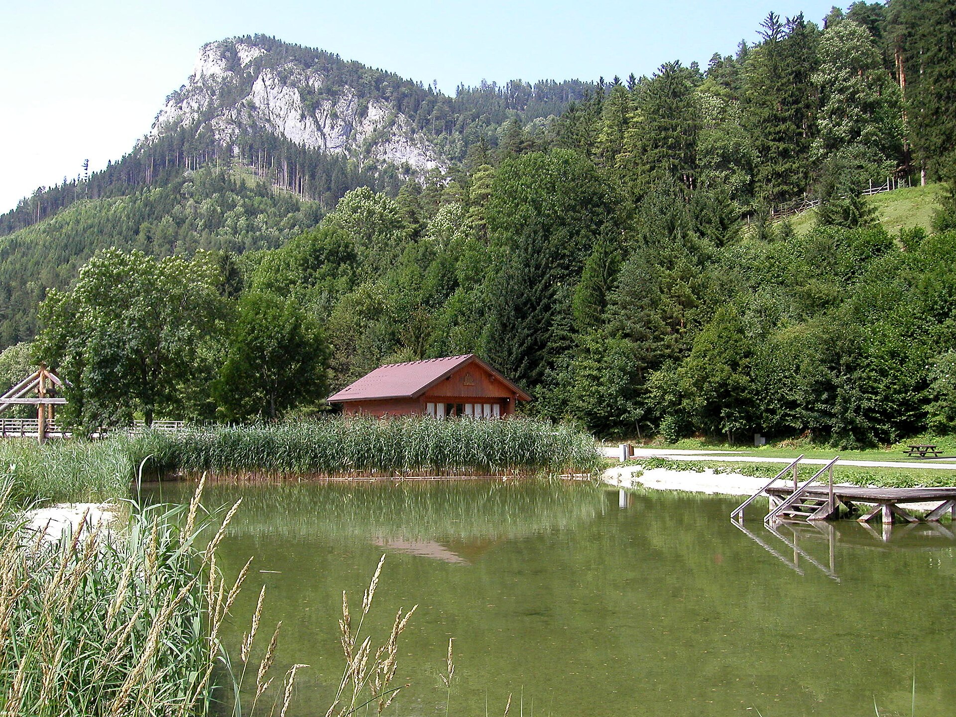
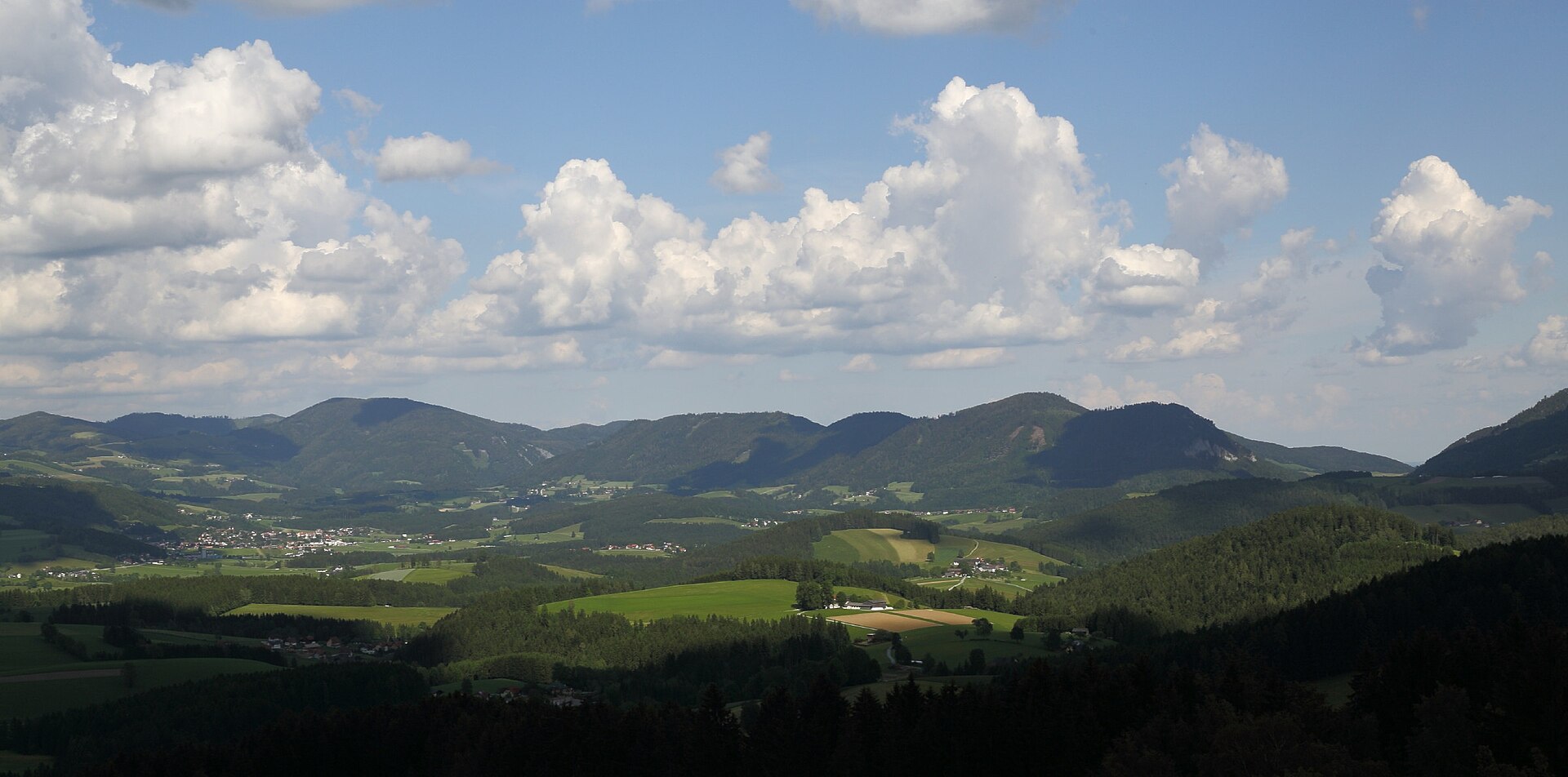
A terrestrial area, with forests and mountains.
What rocks lie beneath Almenland Nature Park?
According to the European 1:1 million geological map (EGDI), the bedrock consists mainly of phyllites and slates (38% of sampled points), marbles (31%) and mica schists (19%). These are mostly metamorphic rocks. The geological units date mainly from the Paleozoic (69% of sampled points).
What is the highest point of Almenland Nature Park?
Zachenkreuz, at 1,601 m (OpenStreetMap).
What are the main summits of Almenland Nature Park?
Zachenkreuz (1,601 m), Osser (1,548 m), Plankogel (1,531 m), Frießenkogel (1,491 m) and Heulantsch (1,471 m) (OpenStreetMap).
Which international labels apply to Almenland Nature Park?
Natura 2000 network (2 sites).
When is the best time to visit Almenland Nature Park?
Mildest period: from June to August, with average temperatures of 14 to 16 °C.
Is there snow in Almenland Nature Park?
Yes. According to NASA's MODIS satellites (2015–2025 average), snow covers most of the site in January, and until February on higher ground, with about 50 snow-covered days a year on average.
Are there historic monuments in Almenland Nature Park?
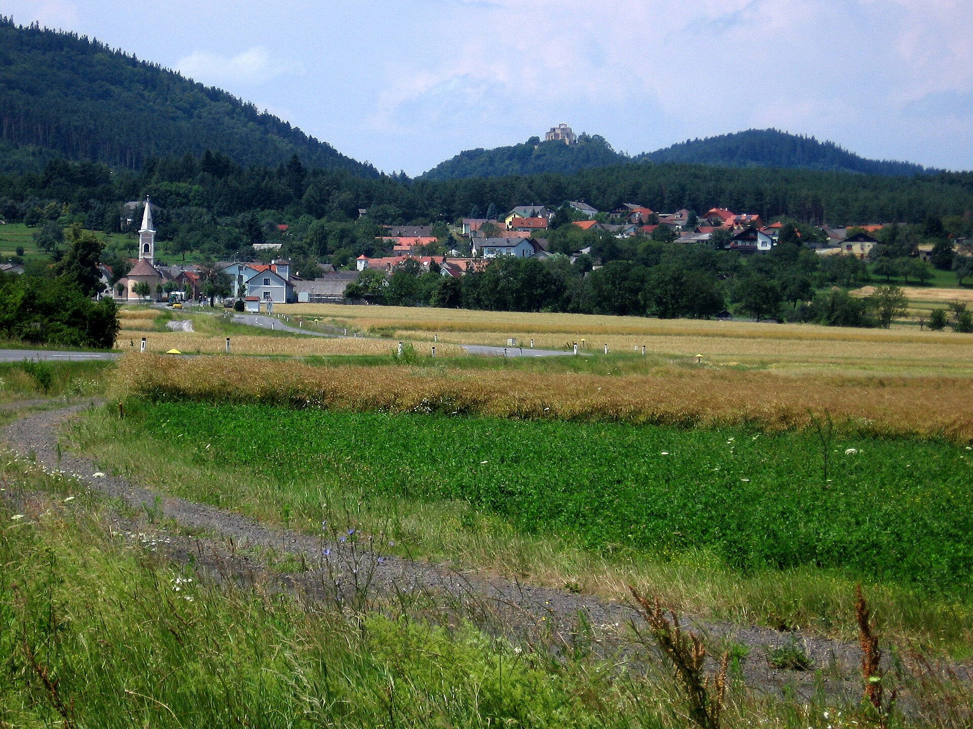
Yes. According to Wikidata, 50 monuments listed as protected monuments in Austria stand within the boundary. For example: “Ehem. Friedhof mit Ummauerung” in Fladnitz an der Teichalm, “Frondsberg Castle” in Birkfeld and “Bauernhaus Kernbichler” in Passail.
What is the nearest large city to Almenland Nature Park?
Nearest towns of over 50,000 people, as the crow flies: Graz (17 km) and Szombathely (68 km). Nearest airport: Graz (GRZ), about 26 km away.
How can I reach Almenland Nature Park by train?
The nearest railway station is Mixnitz-Bärenschützklamm, about 3 km from the site boundary.
Where can I get visitor information on site?
Naturpark Almenland.
Are there waymarked hiking trails in Almenland Nature Park?
Yes. Waymarked hiking routes listed in OpenStreetMap: 91, including Zentralalpenweg, Steirischer Mariazellerweg, Vom Gletscher zum Wein and Weg der. The “Weg der 100000 Schritte” route runs for about 56 km through the site, with some 1,440 m of ascent on its longest section.
Which species can be seen in Almenland Nature Park?
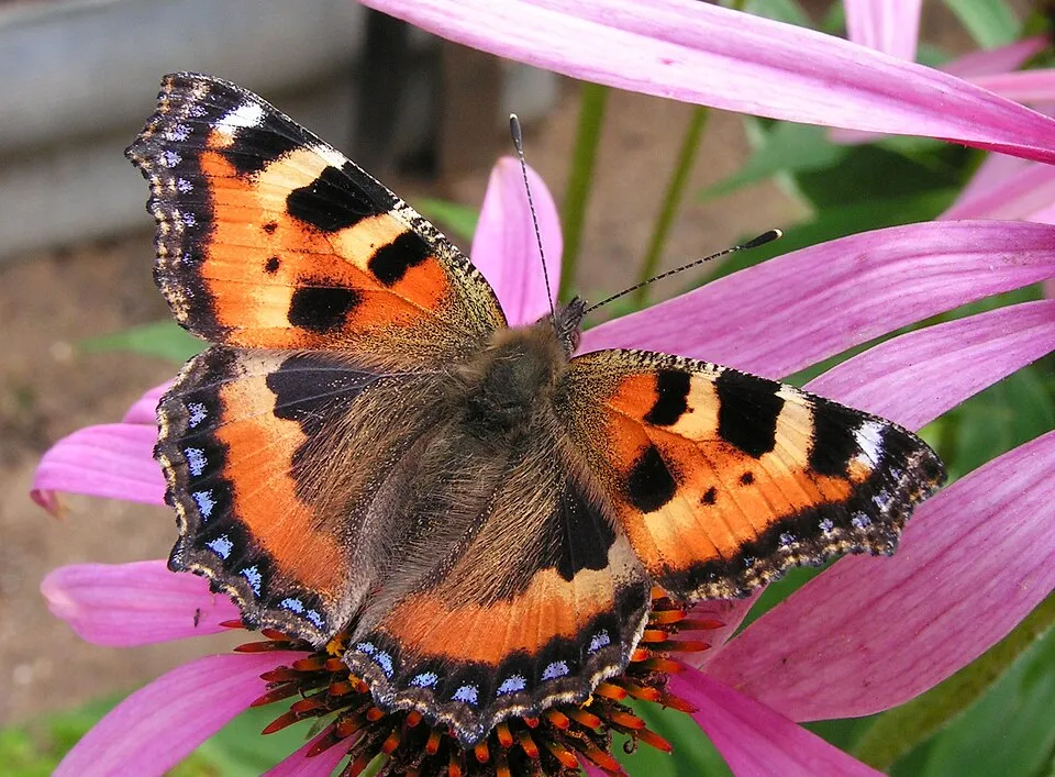
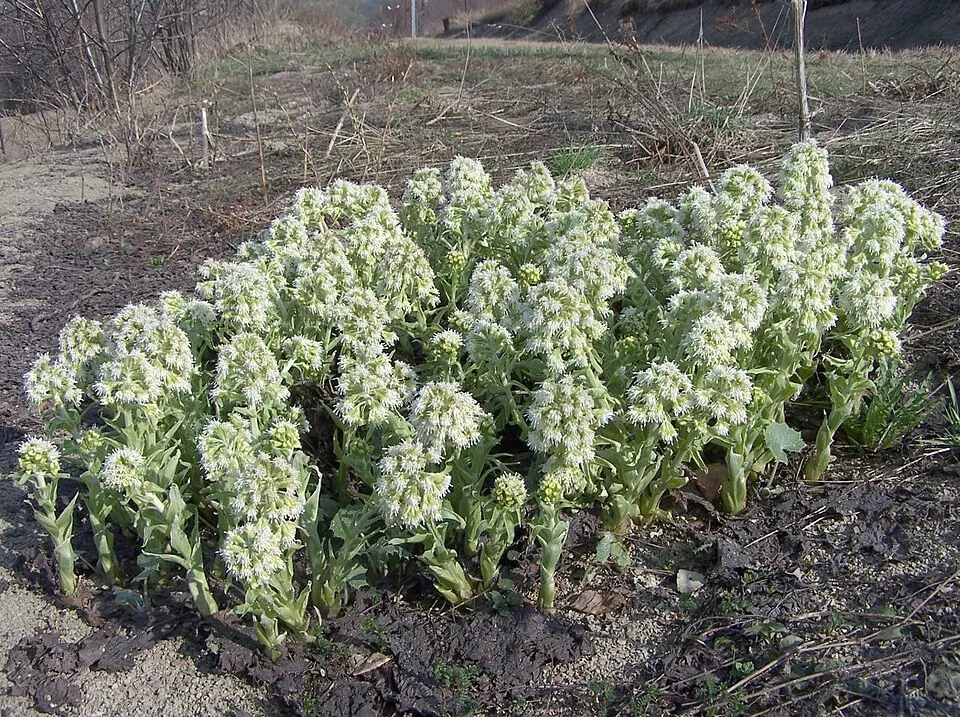
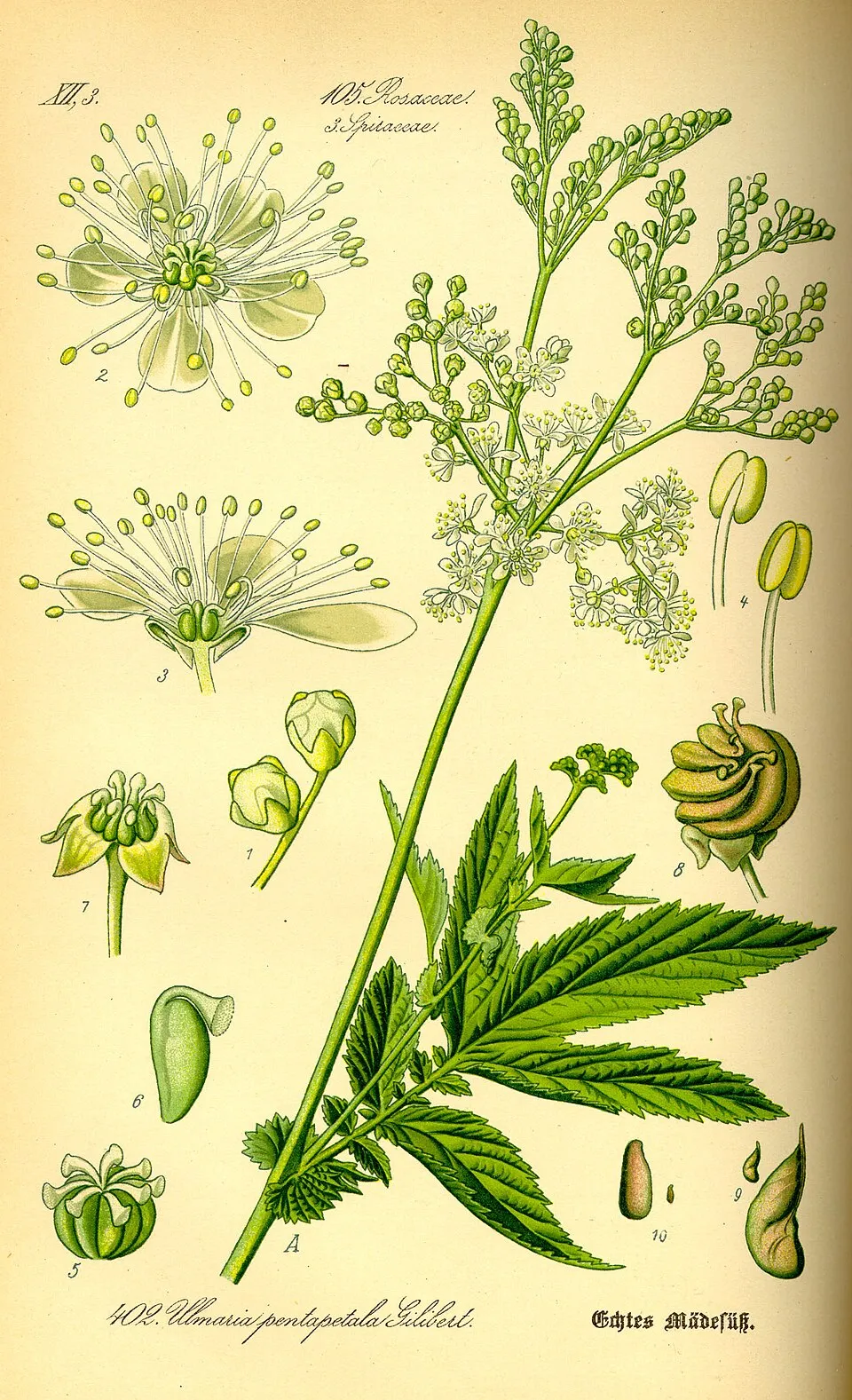
Among the species most often recorded on GBIF are Gentiana asclepiadea (Willow Gentian), Aglais urticae (Small tortoiseshell), Petasites albus (White Butterbur) and Filipendula ulmaria (Meadowsweet).
© OpenStreetMap
Download the boundary: GeoJSON · GPX Boundary © OpenStreetMap contributors (ODbL).
Geography
The representative point of the site lies at around 1,115 m above sea level. Over the 1996–2025 period, the mean annual temperature is about 5.7 °C and total precipitation reaches roughly 973 mm per year. The warmest month is usually July, the coolest January, and the wettest June. According to the European 1:1 million geological map (EGDI), the bedrock consists mainly of phyllites and slates (38% of sampled points), marbles (31%) and mica schists (19%). These are mostly metamorphic rocks. The geological units date mainly from the Paleozoic (69% of sampled points).
Area
- Area of the boundary
- 26,840 ha
- Elevation
- 1,115 m
- Median elevation
- 947 m
- Mean slope
- 20°
- Snow cover
- ≈ 50 days a year
- Coordinates
- 47.3229, 15.5585
Terrain: Mapzen Terrain Tiles (SRTM, USGS; © offene Daten Österreichs – Digitales Geländemodell (DGM) Österreich, CC BY 3.0 AT)
Elevation bands
- 500–1,000 m 58%
- 1,000–1,500 m 42%
share of the site in each elevation band (smoothed terrain model: summits are rounded off) · Terrain: Mapzen Terrain Tiles (SRTM, USGS; © offene Daten Österreichs – Digitales Geländemodell (DGM) Österreich, CC BY 3.0 AT)
Bedrock
- Phyllites and slates 38 %
- Marbles 31 %
- Mica schists 19 %
- Clastic sedimentary rocks 13 %
Metamorphic rocks 88 % · Sedimentary rocks 13 % · Main age: Paleozoic (69%)
Source: EGDI 1:1M geological map (EuroGeoSurveys and national geological surveys), CC BY 4.0 · 16 sampled points within the site.
Main summits
- Zachenkreuz1,601 m
- Osser1,548 m
- Plankogel1,531 m
- Frießenkogel1,491 m
- Heulantsch1,471 m
- Streberkogel1,447 m
- Feichtkogel1,443 m
- Saukogel1,437 m
- Bründlkogel1,436 m
- Zechnerschlag / Rohregg1,434 m
Data © OpenStreetMap contributors (ODbL)
Climate
● Mean temperature (°C) · ▮ Precipitation (mm)
Source: Copernicus ERA5-Land (C3S, doi:10.24381/cds.68d2bb30), monthly averages 1996–2025 interpolated to the representative point, temperatures adjusted for elevation.
Contains modified Copernicus Climate Change Service information 2026. Neither the European Commission nor ECMWF is responsible for any use that may be made of the Copernicus information or data it contains.
Snow cover measured by satellite
J
F
M
A
M
J
J
A
S
O
N
D
average share of the site under snow · snowiest parts · ≈ 50 days a year
Snow cover: MODIS/Terra MOD10CM v61 (Hall & Riggs, 2021, NASA NSIDC DAAC, doi:10.5067/MODIS/MOD10CM.061), imagery from NASA GIBS (ESDIS); 2015–2025 average, grid of about 5 km.
Natural habitats
According to CORINE Land Cover (2018), the site is mainly made up of forests (61%), grassland and meadows (27%) and farmland (11%). Woodland is mostly coniferous. Elevation ranges from about 640 m to 1,601 m (highest point: Zachenkreuz). Median elevation is 947 m, and 42% of the site lies above 1,000 m (SRTM and DGM Österreich elevation models). The terrain is steep: 16% of slopes exceed 30° (mean slope 20°). The 2 Natura 2000 sites overlapping the area list 16 habitats of European interest (3 priority), the most extensive being Asperulo-Fagetum beech forests, Medio-European limestone beech forests of the Cephalanthero-Fagion and Tilio-Acerion forests of slopes, screes and ravines.
Biodiversity
Based on occurrences aggregated by GBIF, several species are regularly recorded within the site. Among the most frequent are Gentiana asclepiadea (Willow Gentian), Aglais urticae (Small tortoiseshell), Petasites albus (White Butterbur) and Filipendula ulmaria (Meadowsweet). The full list of documented taxa is shown below. The overlapping Natura 2000 sites list 26 species of European interest: 16 birds, 8 mammals, 1 fish and 1 invertebrate.
Habitats of European interest
From the official forms of the 2 Natura 2000 sites overlapping the area (areas reported for each whole site).
- Asperulo-Fagetum beech forests 56 ha
- Medio-European limestone beech forests of the Cephalanthero-Fagion 33 ha
- Tilio-Acerion forests of slopes, screes and ravines priority 15 ha
- Alluvial forests with Alnus glutinosa and Fraxinus excelsior (Alno-Padion, Alnion incanae, Salicion albae) priority 12 ha
- Illyrian Fagus sylvatica forests (Aremonio-Fagion) 10 ha
- Calcareous rocky slopes with chasmophytic vegetation 7 ha
- Hydrophilous tall herb fringe communities of plains and of the montane to alpine levels 5 ha
- Acidophilous Picea forests of the montane to alpine levels (Vaccinio-Piceetea) 4 ha
and 8 more
Species of European interest
Birds · 16
Eurasian Goshawk (Accipiter gentilis) resident, Common Kingfisher (Alcedo atthis) resident, Grey Heron (Ardea cinerea) passage, Hazel Grouse (Bonasa bonasia) resident, Eurasian Eagle-owl (Bubo bubo) resident, Black Stork (Ciconia nigra) breeding, White-throated Dipper (Cinclus cinclus) resident, Stock Dove (Columba oenas) breeding, Black Woodpecker (Dryocopus martius) resident, Rock Bunting (Emberiza cia) breeding, Peregrine Falcon (Falco peregrinus) resident, Collared Flycatcher (Ficedula albicollis) breeding and 4 more
Mammals · 8
Barbastelle (Barbastella barbastellus), Common bent-wing bat (Miniopterus schreibersii), Bechstein's bat (Myotis bechsteinii), Lesser mouse-eared myotis (Myotis blythii), Geoffroy's bat (Myotis emarginatus), Greater mouse-eared bat (Myotis myotis), Greater Horseshoe Bat (Rhinolophus ferrumequinum), Lesser horseshoe bat (Rhinolophus hipposideros)
Fish · 1
Invertebrates · 1
Source: Natura 2000 standard data forms (EEA, CC-BY 4.0). Not exhaustive: sensitive species are not published.
Species to look out for

Observed species
Occurrences documented via GBIF; they are neither an exhaustive inventory nor proof of current presence.
- Willow Gentian · Gentiana asclepiadea · 196
- Small tortoiseshell · Aglais urticae · 49
- White Butterbur · Petasites albus · 47
- Meadowsweet · Filipendula ulmaria · 45
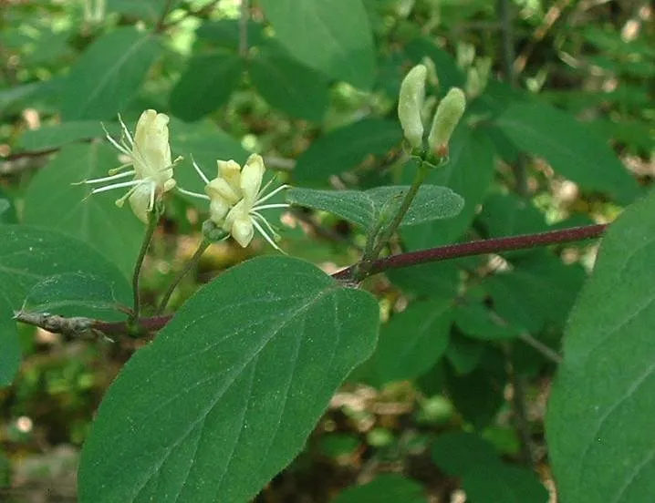
- Fly honeysuckle · Lonicera xylosteum · 38
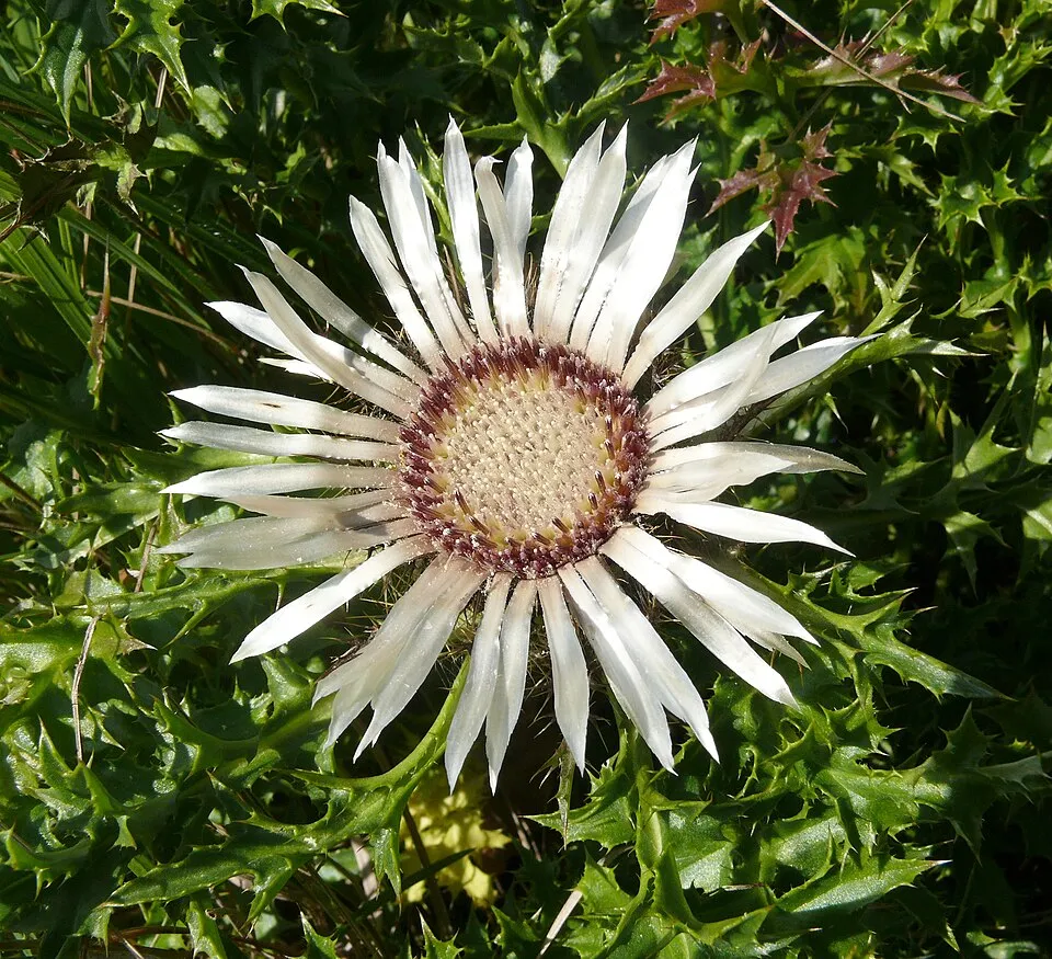
- Stemless carline thistle · Carlina acaulis · 33
- Peacock · Aglais io · 33
- Red admiral · Vanessa atalanta · 32
- Grass-of-Parnassus · Parnassia palustris · 29
- Marbled white · Melanargia galathea · 29
- Yellow monkshood · Aconitum anthora · 28
- Meadow brown · Maniola jurtina · 28
+18 more species
- Hemp-agrimony · Eupatorium cannabinum · 26
- Small Heath · Coenonympha pamphilus · 23
- Common blue · Polyommatus icarus · 23
- Mezereon · Daphne mezereum · 23
- Ringlet · Aphantopus hyperantus · 22
- Orange-tip · Anthocharis cardamines · 22
- Dame's-violet · Hesperis matronalis · 22
- Marsh-marigold · Caltha palustris · 22
- Wild angelica · Angelica sylvestris · 22
- Felwort · Swertia perennis · 22
- Silver-washed fritillary · Argynnis paphia · 21
- Small copper · Lycaena phlaeas · 20
- Drooping bittercress · Cardamine enneaphyllos · 20
- Comma · Polygonia c-album · 19
- Red-berried Elder · Sambucus racemosa · 19
- Cabbage Thistle · Cirsium oleraceum · 19
- Garlic Cress · Peltaria alliacea · 18
- Cypress Spurge · Euphorbia cyparissias · 18
Records: GBIF.org (CC-BY). Names: Wikidata (CC0), GBIF. Photos: Wikimedia Commons.
Conservation challenges
The primary purpose of the site is to preserve its natural habitats and the biodiversity they support. The species recorded (Biodiversity tab) reflect its ecological value. The designations it holds frame its management and the control of land use.
According to Global Forest Change data (University of Maryland, Global Forest Watch), about 1,490 ha of tree cover were lost within the boundary between 2001 and 2023 (6% of its area), peaking in 2008. These losses include logging, storms and fires, and do not account for regrowth. According to CORINE Land Cover, land cover here remained almost unchanged between 1990 and 2018 (less than 0.5% of the area affected); only some 10 ha were built over. At night, the area gives off virtually no artificial light detectable from space (NASA VIIRS Black Marble composite, 2016). Built-up and developed land (buildings, business areas, roads, quarries) covers 2% of the area, and farmland 11% (CORINE Land Cover). According to the Natura 2000 forms, of 13 assessed habitats of European interest, 7 are in excellent condition and the rest in good condition. According to the Water Framework Directive assessment (2022 river basin management plans, data 2016–2021), only 25% of the 106 km of rivers assessed within the site are in good or high ecological status; the others mostly have moderate ecological status. Since 2000, 6 invasive alien species have been recorded within the site (GBIF observations), 2 of them listed as of Union concern under EU Regulation 1143/2014. Among them: Impatiens glandulifera (Himalayan Balsam), Heracleum mantegazzianum (Giant Hogweed) and Impatiens parviflora (Small balsam).
Pressure indicators
Tree cover lost
1,490 ha
2001–2023
20012023
Fires since 2016
0
No large fire mapped (fires over about 30 ha)
Light at night
0%
of the area gives off artificial light visible from space
DarkLit
Built-up land
2%
buildings, business areas, roads, quarries · farmland 11%
Land cover change
< 0.5%
of the area changed, 1990–2018 · CORINE
Rivers and lakes
25%
of the 106 km of assessed rivers in good or high ecological status · WFD 2022
assessments 2016–2021
Invasive alien species
6
incl. 2 of EU concern · since 2000
 Himalayan Balsam
 Giant Hogweed
 Small balsam
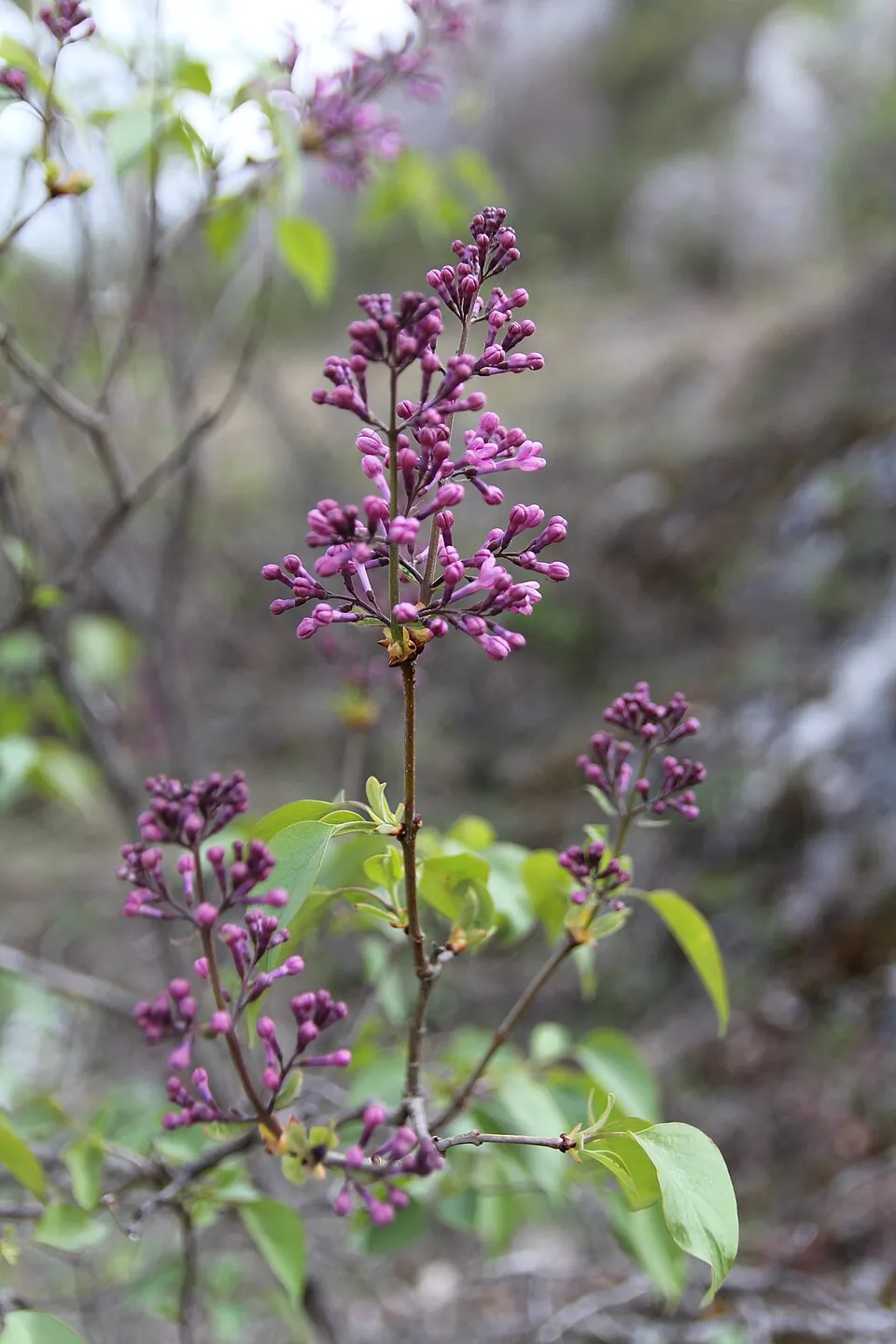 Common Lilac
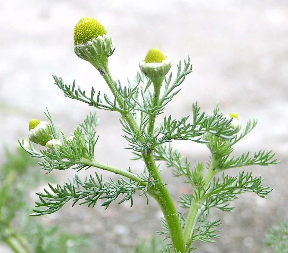 Pineappleweed
Photos: Himalayan Balsam © Guptaele · CC BY-SA 4.0; Giant Hogweed © anastasiiamerkulova · CC BY 4.0; Small balsam © André Karwath aka Aka · CC BY-SA 2.5; Common Lilac © Aporia.j · CC BY-SA 4.0; Pineappleweed © Krzysztof Ziarnek · CC BY-SA 3.0
Sources: Global Forest Change (Hansen et al., University of Maryland, via Global Forest Watch, CC-BY 4.0); EFFIS, European Commission / Copernicus; NASA Black Marble 2016 (public domain); CORINE Land Cover 2018 (Copernicus) or MODIS.
CORINE Land Cover Change 1990–2018: generated using European Union's Copernicus Land Monitoring Service information (EEA), aggregated by Parkavela; DOI 10.2909/f30f1000-7cf8-43bb-872c-5eb093911b24.
Ecological status of water bodies: European Environment Agency, WISE – Water Framework Directive, 3rd river basin management plans (2022), CC BY 4.0. Official national classification, not comparable between countries.
Invasive alien species: Global Register of Introduced and Invasive Species (ISSG, CC BY 4.0); Union list, Regulation (EU) 1143/2014 (INBO, CC0); GBIF.org records (CC0 / CC BY 4.0), at least 2 per species.
Practical information
Cities and airport
- Graz
17 km as the crow flies - Szombathely
68 km as the crow flies - Airport: Graz (GRZ)
26 km as the crow flies
Visitor information
- Naturpark Almenland
within the site
Hiking
91 waymarked routes listed, including:
ZentralalpenwegSteirischer MariazellerwegVom Gletscher zum WeinWeg derVerbindungswegWanderweg
Trail difficulty
- T1 · easy hiking · 75% · 101 km
- T2 · mountain hiking · 20% · 29 km
- T3–T6 · demanding or alpine hiking · 5% · 3 km
133 km graded out of 206 km of paths
SAC scale (T1–T6) © OpenStreetMap contributors (ODbL): indicative only, check with the park.
By bike
R11 Raabtalradweg Master · 15 kmR8 Feistritztalradweg · 7 km
Signed cycle routes: this does not mean that cycling is allowed on footpaths.
Data © OpenStreetMap contributors (ODbL) · Wikidata (CC0)
Routes © OpenStreetMap contributors (ODbL), via Waymarked Trails
Waymarked hiking routes
Tracks © OpenStreetMap contributors (ODbL), clipped to the boundary; elevation gain and profiles computed on the longest section from Mapzen Terrain Tiles (≈ 30 m), indicative only.
Access and visiting
The nearest railway station is Mixnitz-Bärenschützklamm, about 3 km from the site boundary. Nearest towns of over 50,000 people, as the crow flies: Graz (17 km) and Szombathely (68 km). Nearest airport: Graz (GRZ), about 26 km away. About 500,000 people live within 20 km of the site boundary, 75,000 of them within 10 km; some 9,800 people are estimated to live inside (GHSL estimate, 2020). This population has grown by about 15% since 2000. Visitor information on site: Naturpark Almenland. Waymarked hiking routes listed in OpenStreetMap: 91, including Zentralalpenweg, Steirischer Mariazellerweg, Vom Gletscher zum Wein and Weg der. Of the roughly 130 km of paths with a difficulty grade in OpenStreetMap, 75% are easy hiking (T1), 20% mountain hiking (T2) and 5% demanding or alpine hiking (T3–T6). This is indicative only: check with the park. The site is crossed by 2 signed cycle routes: “R11 Raabtalradweg Master” and “R8 Feistritztalradweg” (OpenStreetMap). To plan a visit (access, opening periods, visitor rules), it is best to consult the official information from the managing body and the official website listed in this page's sources.
Source: OpenStreetMap (ODbL), Wikidata (CC0), October 2026.
Built heritage
According to Wikidata, 50 monuments listed as protected monuments in Austria stand within the boundary. Among them are 20 religious buildings, 5 bridges, lighthouses, mills and working buildings and 4 houses and civic buildings. Examples include “Ehem. Friedhof mit Ummauerung” in Fladnitz an der Teichalm, “Frondsberg Castle” in Birkfeld and “Bauernhaus Kernbichler” in Passail.
20 religious buildings5 bridges, lighthouses, mills and working buildings4 houses and civic buildings2 castles and fortifications
-
Ehem. Friedhof mit Ummauerung
Fladnitz an der Teichalm -
Frondsberg Castle
Birkfeld -
Bauernhaus Kernbichler
Passail -
Anlage Kalkhochöfen Wenger Weizklamm
Passail -
Aufnahmsgebäude Koglhof
Birkfeld -
Friedhofskapelle und Friedhof
Anger -
Hechtl-Turm
Passail -
Bauernhof Grabenbauer
Fladnitz an der Teichalm
and 42 more
Source: Wikidata (CC0), monuments in each country’s official heritage protection registers, at national or regional level. Each item links to its Wikidata entry.
When to visit
Mildest period: from June to August, with average temperatures of 14 to 16 °C. Average temperatures drop below 0 °C from December to February: frost is common. Precipitation peaks from May to August (up to 120 mm per month). These averages apply to the site's representative point (1,115 m); higher up it is markedly cooler and snow lasts longer. According to NASA's MODIS satellites (2015–2025 average), snow covers most of the site in January, and until February on higher ground, with about 50 snow-covered days a year on average. Day length ranges from about 8 h 29 min in December to 15 h 55 min in June. Wildlife records published on GBIF peak for birds (April), plants (from June to August), butterflies and moths (July) and mammals (April). These peaks also reflect when observers are most active.
Source: Copernicus ERA5-Land (C3S), monthly averages 1996–2025 at the representative point, temperatures adjusted for elevation.
Contains modified Copernicus Climate Change Service information 2026. Neither the European Commission nor ECMWF is responsible for any use that may be made of the Copernicus information or data it contains.
Wildlife records calendar
JFMAMJJASOND
Birds
Plants
Butterflies & moths
Mammals
Monthly records published on GBIF (CC-BY), relative to the busiest month; also reflects observer activity.
Gallery
© Christian Pirkl · CC BY-SA 3.0
© File:Austria Styria relief location map.svg: NordNordWest (see below) File:Gemeinden Steiermark.svg: STATISTIK AUSTRIA This file: W!B: (talk) · CC BY-SA 2.0
© Christian Pirkl · CC BY-SA 4.0
© Nxr-at · CC BY-SA 4.0
© Herzi Pinki · CC BY-SA 4.0
© Nxr-at · CC BY-SA 4.0
Sources and licences
- Wikidata: Q1970415
- OpenStreetMap: relation 15544314
- Wikipedia: de.wikipedia.org/wiki/Naturpark_Almenland
References
- cds.climate.copernicus.eu: climate · CC-BY-4.0
- registry.opendata.aws: elevation of the reference point, detailed relief · CC-BY-3.0
- land.copernicus.eu: land cover, land cover change, sea share · COPERNICUS
- doi.org: population around the site · CC-BY-4.0
- openstreetmap.org: official name, access and peaks, trail difficulty, wheelchair access · ODbL-1.0
- eea.europa.eu: bathing water quality, ecological status of waters · CC-BY-4.0
- en.eurovelo.com: EuroVelo cycle routes · ODbL-1.0
- cycling.waymarkedtrails.org: cycle routes · ODbL-1.0
- opentopodata.org: elevations · PD
- forest-fire.emergency.copernicus.eu: wildfires · COPERNICUS
- globalforestwatch.org: tree cover loss · CC-BY-4.0
- gbif.org: seasonality of sightings, invasive alien species, observed species · CC-BY-4.0
- europe-geology.eu: geology · CC-BY-4.0
- wikidata.org: protected heritage, nearby cities and airport, access and peaks, lake depths, places to see · CC0-1.0
- hydrosheds.org: lakes · CC-BY-4.0
- natura2000.eea.europa.eu: Natura 2000 habitats and species · CC-BY-4.0
- earthobservatory.nasa.gov: night light · PD
- hiking.waymarkedtrails.org: route difficulty · ODbL-1.0
- nsidc.org: snow cover · PD
- wikidata.org: Wikipedia article · CC-BY-SA-4.0
Data © OpenStreetMap contributors (ODbL), Wikidata (CC0) and the sources cited.