
Insect
Comma: where to see it
Polygonia c-album
This insect species is recorded in 5 protected areas of the atlas. Within the atlas countries, it is mostly observed in the United Kingdom, France and Belgium (10 countries in all). Most records (8 in 10) lie between 90 and 1,100 m above sea level. Records peak from June to August.
Best time to see it: June–August
Records published on GBIF by month (CC0 and CC BY 4.0 licences only), in the atlas countries, all years combined; they also reflect observer activity.
Distribution
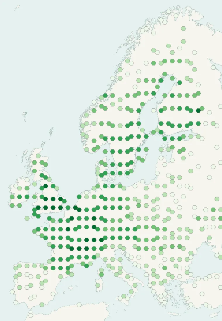
Records published on GBIF (CC0 and CC BY 4.0 licences): the darker the shade, the more records there are; they also reflect observation effort.
Atlas countries where it is recorded
From Wikipedia
Polygonia c-album, or the comma, is a food generalist (polyphagous) butterfly species belonging to the family Nymphalidae. The angular notches on the edges of the forewings are characteristic of the genus Polygonia, which is why species in the genus are commonly referred to as anglewing butterflies. Comma butterflies can be identified by their prominent orange and dark brown/black dorsal wings. Both the larval and adult stages exhibit protective camouflage, mimicking bird droppings and fallen leaves respectively, which reduces predation. The pupae are also cryptic, resembling shriveled leaves.
Source: Wikipedia, article “Polygonia c-album” (version of September 8, 2026) · history and authors · licence CC BY-SA 4.0 · shortened excerpt
Protected areas where it is recorded

2,285 records
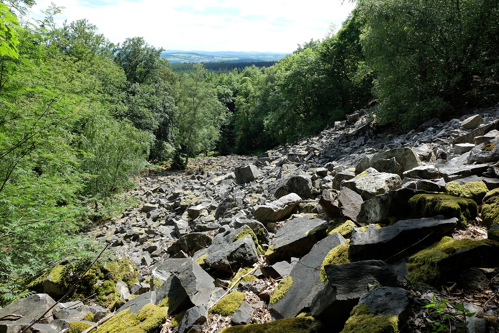
86 records
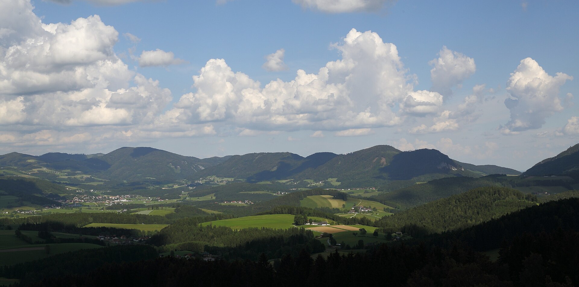
19 records
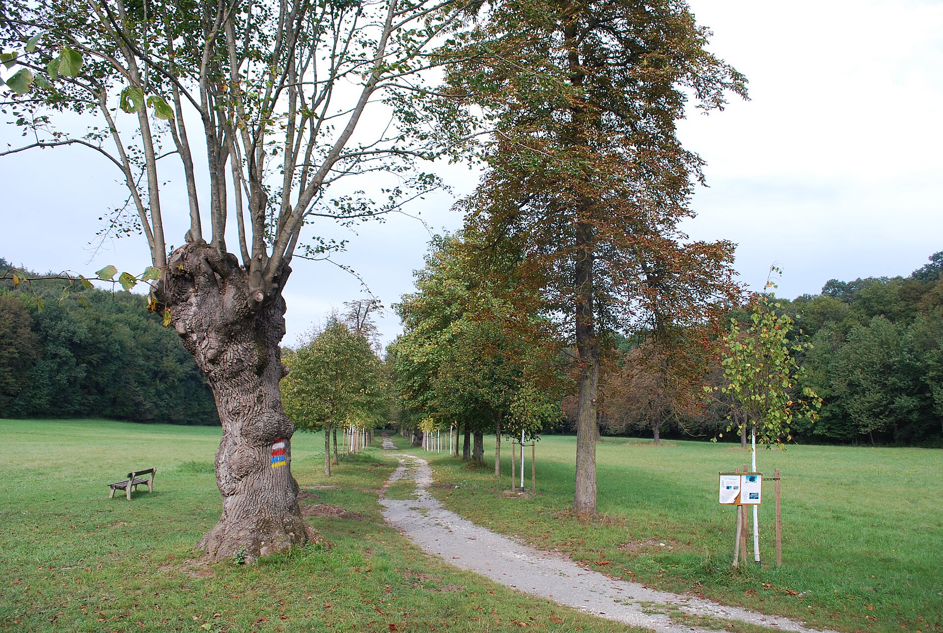
4 records
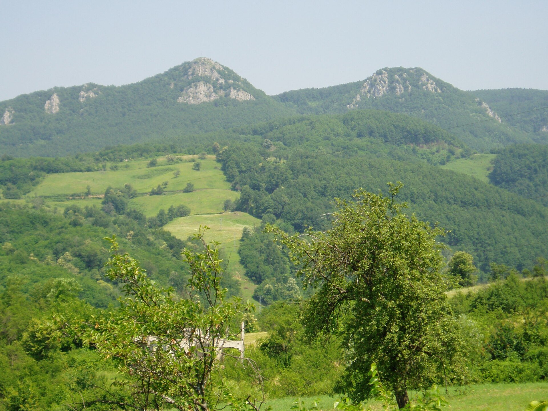
1 records
Other species to discover
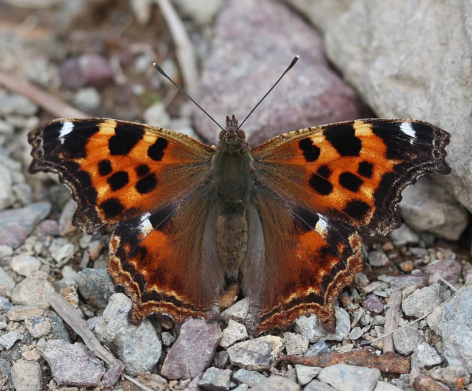 False comma
Nymphalis vaualbum Same genus
 Orange-tip
Anthocharis cardamines 3 places in common
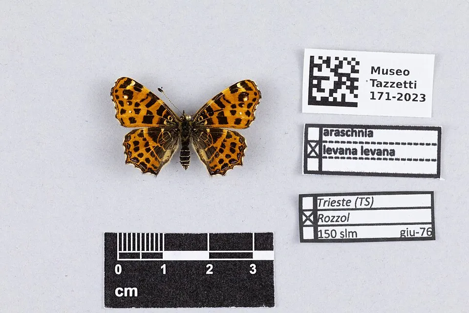 Map butterfly
Araschnia levana 2 places in common
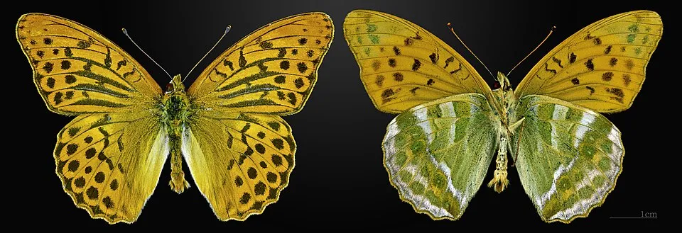 Silver-washed fritillary
Argynnis paphia 4 places in common
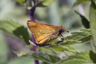 Asian Large Skipper
Ochlodes venata 2 places in common
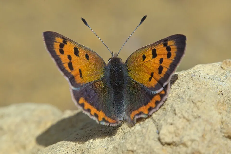 Small copper
Lycaena phlaeas 2 places in common
Sources and credits
- Presence: most-recorded species of each place on GBIF and species of Community interest in the Natura 2000 forms (EEA, CC-BY 4.0); absence from the list does not mean the species is absent.
- Common names: Wikidata (CC0) and GBIF.
- Photos and sounds: Wikimedia Commons, author and licence given for each file.
- Classification: GBIF Backbone Taxonomy (GBIF Secretariat), CC BY 4.0, doi:10.15468/39omei.
- Countries, elevations, months and maps: GBIF.org, CC0 or CC BY 4.0 occurrences only, accessed October 23, 2026, GBIF.org.
- Base map: Natural Earth (public domain).
- Excerpt: Wikipedia, CC BY-SA 4.0 (full credit below the excerpt).