Switzerland · Terrestrial
Schaffhausen Regional Nature Park
Regional nature park of 21,303 hectares in Switzerland.
Overview
Regional nature park of 21,303 hectares in Switzerland.
Schaffhausen Regional Nature Park is located in Switzerland (Europe). It is a predominantly terrestrial area. It covers about 21,303 hectares.
In our collections
Frequently asked questions
Where is Schaffhausen Regional Nature Park?
In Switzerland (Europe). Representative point: 47.6630° N, 8.4930° E.
How large is Schaffhausen Regional Nature Park?
About 21,303 hectares (213 km²). It is the 12th largest of the 17 regional parks in Switzerland covered by Parkavela.
What habitats and landscapes does Schaffhausen Regional Nature Park include?
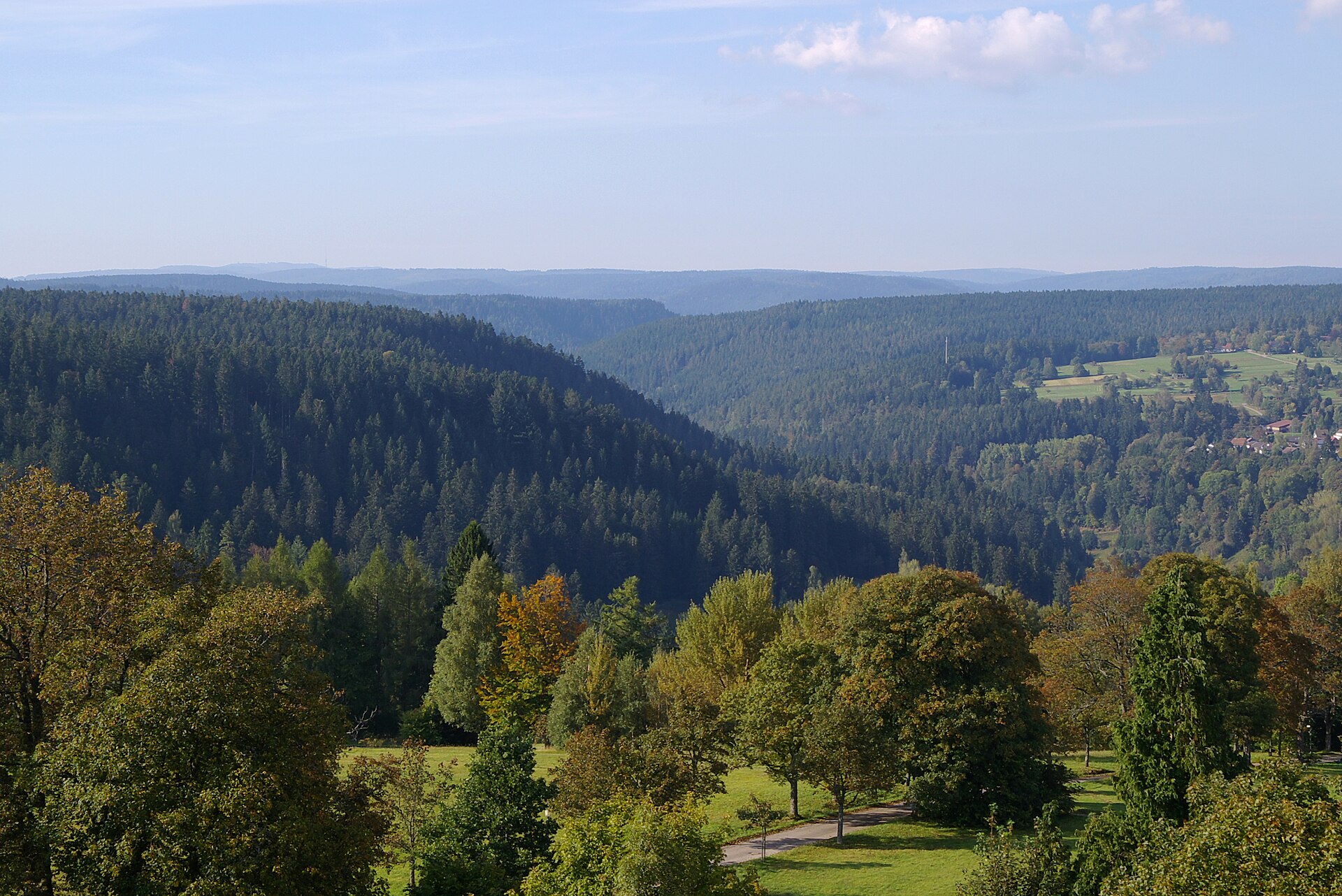
A terrestrial area, with forests.
What is the highest point of Schaffhausen Regional Nature Park?
Chrisling, at 834 m (OpenStreetMap).
What are the main summits of Schaffhausen Regional Nature Park?
Chrisling (834 m), Wannenberg (661 m), Staufenberg (606 m), Hurbig (546 m) and Chapf (546 m) (OpenStreetMap).
When is the best time to visit Schaffhausen Regional Nature Park?
Best time to visit: September and October, with average temperatures of 10 to 15 °C and moderate rainfall.
What is there to see in Schaffhausen Regional Nature Park?
7 lakes and ponds and 3 caves, including Morgetshofsee, Kesslerloch (440 m), Nägelsee (447 m) and Vorder Eichen, paläolithisches Jägerlager (435 m) (Wikidata).
Are there historic monuments in Schaffhausen Regional Nature Park?
Yes. According to Wikidata, 256 monuments listed in the Swiss Inventory of Cultural Property of National and Regional Significance stand within the boundary, 21 of them of national significance. For example: “Bergkirche St. Moritz” in Hallau, “Brüel, early medieval settlement” in Schleitheim and “House to the Hirzen” in Thayngen.
What is the nearest large city to Schaffhausen Regional Nature Park?
Nearest towns of over 50,000 people, as the crow flies: Winterthur (14 km) and Zurich (20 km). Nearest airport: Zurich (ZRH), about 10 km away.
How can I reach Schaffhausen Regional Nature Park by train?
Trasadingen railway station lies within the site.
Where can I get visitor information on site?
Fachstelle Landschaft und Wein, Rheinfall and Info Shop Rheinfall.
Are there waymarked hiking trails in Schaffhausen Regional Nature Park?
Yes. Waymarked hiking routes listed in OpenStreetMap: 191, including E 5, Ostweg, Sur les pas des Huguenots et des Vaudois du Piémont and Hochrhein Jakobsweg. The “WasserWeltenSteig” route runs for about 12 km through the site, with some 340 m of ascent on its longest section.
Which species can be seen in Schaffhausen Regional Nature Park?
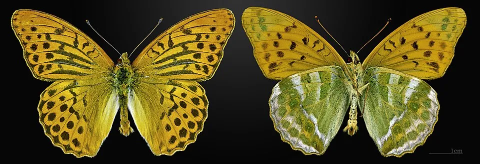
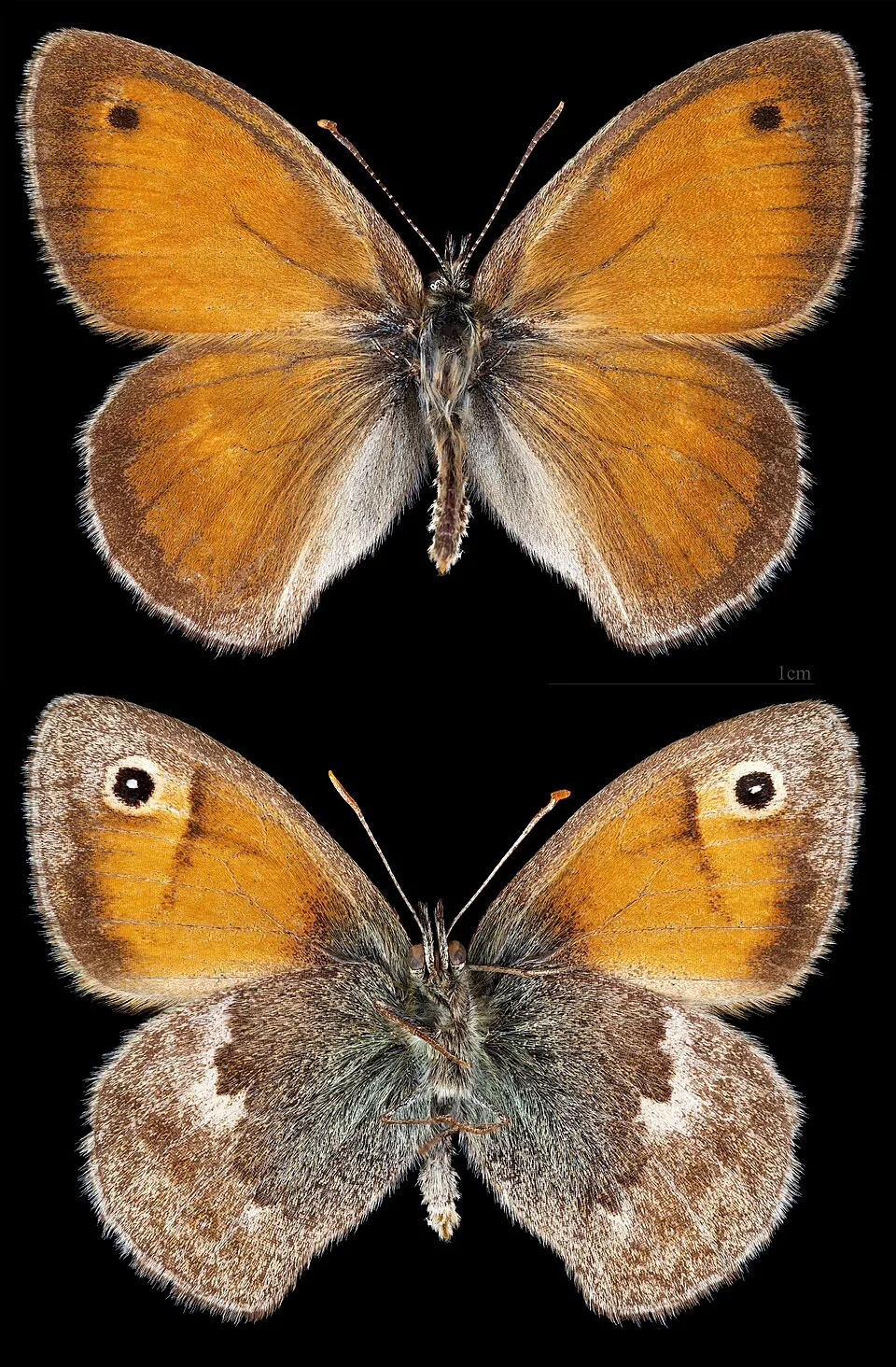
Among the species most often recorded on GBIF are Maniola jurtina (Meadow brown), Pieris napi (Green-veined white), Argynnis paphia (Silver-washed fritillary) and Melanargia galathea (Marbled white).
© OpenStreetMap
Download the boundary: GeoJSON · GPX Boundary © OpenStreetMap contributors (ODbL).
Geography
The representative point of the site lies at around 456 m above sea level. Over the 1996–2025 period, the mean annual temperature is about 9.9 °C and total precipitation reaches roughly 1,104 mm per year. The warmest month is usually July, the coolest January, and the wettest July.
Area
- Area
- 21,303 ha
- Elevation
- 456 m
- Median elevation
- 498 m
- Mean slope
- 8°
- Coordinates
- 47.663, 8.493
Terrain: Mapzen Terrain Tiles (SRTM, USGS)
Main summits
- Chrisling834 m
- Wannenberg661 m
- Staufenberg606 m
- Hurbig546 m
- Chapf546 m
- Säckelamtshüsli543 m
- Berg533 m
- Wippel523 m
- Honegg Buchberg513 m
- Schneckenberg498 m
Data © OpenStreetMap contributors (ODbL)
Climate
● Mean temperature (°C) · ▮ Precipitation (mm)
Source: Copernicus ERA5-Land (C3S, doi:10.24381/cds.68d2bb30), monthly averages 1996–2025 interpolated to the representative point, temperatures adjusted for elevation.
Contains modified Copernicus Climate Change Service information 2026. Neither the European Commission nor ECMWF is responsible for any use that may be made of the Copernicus information or data it contains.
Snow cover measured by satellite
J
F
M
A
M
J
J
A
S
O
N
D
average share of the site under snow · snowiest parts · ≈ 20 days a year
Snow cover: MODIS/Terra MOD10CM v61 (Hall & Riggs, 2021, NASA NSIDC DAAC, doi:10.5067/MODIS/MOD10CM.061), imagery from NASA GIBS (ESDIS); 2015–2025 average, grid of about 5 km.
Natural habitats
According to CORINE Land Cover (2018), the site is mainly made up of farmland (44%), forests (42%) and built-up or developed land (9%). Woodland mixes broadleaved and coniferous trees. Elevation ranges from about 370 m to 834 m (highest point: Chrisling).
Biodiversity
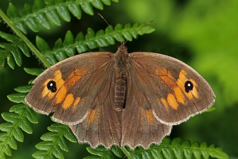
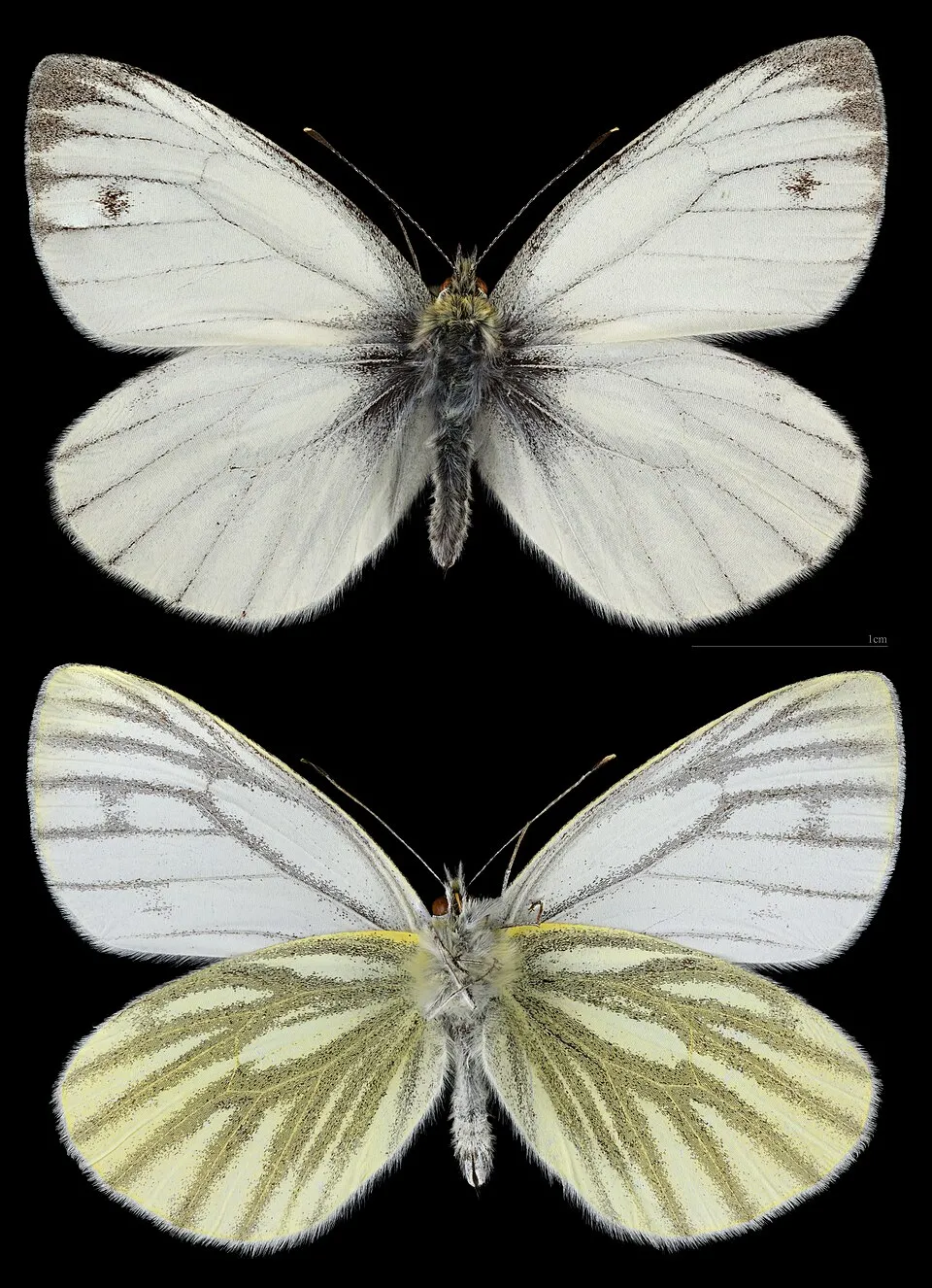
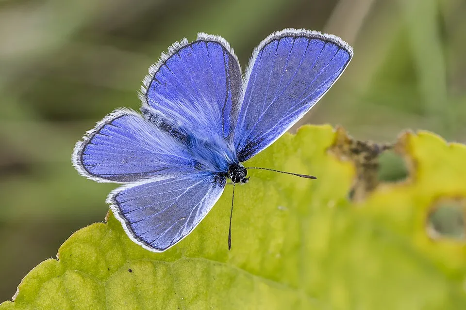
Based on occurrences aggregated by GBIF, several species are regularly recorded within the site. Among the most frequent are Maniola jurtina (Meadow brown), Pieris napi (Green-veined white), Argynnis paphia (Silver-washed fritillary) and Melanargia galathea (Marbled white). The full list of documented taxa is shown below.
Species to look out for

Observed species
Occurrences documented via GBIF; they are neither an exhaustive inventory nor proof of current presence.
- Meadow brown · Maniola jurtina · 13236
- Green-veined white · Pieris napi · 10553
- Silver-washed fritillary · Argynnis paphia · 7475
- Marbled white · Melanargia galathea · 7005
- Common blue · Polyommatus icarus · 6321
- Small Heath · Coenonympha pamphilus · 6031
- Mellicta parthenoides · 4114
- Peacock · Aglais io · 3981
- High Brown Fritillary · Fabriciana adippe · 3885
- Orange-tip · Anthocharis cardamines · 3397
- Asian Large Skipper · Ochlodes venata · 3370
- Large white · Pieris brassicae · 3327
+18 more species
- Six-spot burnet · Zygaena filipendulae · 3173
- Ladoga camilla · 3114
- Adonis blue · Lysandra bellargus · 3070
- Speckled Wood · Pararge aegeria · 2991
- Violet fritillary · Boloria dia · 2957
- Small tortoiseshell · Aglais urticae · 2932
- Silver Y · Autographa gamma · 2859
- Small white · Pieris rapae · 2684
- Map butterfly · Araschnia levana · 2506
- Wall brown · Lasiommata megera · 2404
- Queen of Spain Fritillary · Issoria lathonia · 2386
- Chalk-hill Blue · Lysandra coridon · 2358
- Common Carpet · Epirrhoe alternata · 2329
- Comma · Polygonia c-album · 2285
- Latticed Heath · Chiasmia clathrata · 2251
- Ringlet · Aphantopus hyperantus · 2216
- Burnet Companion Moth · Euclidia glyphica · 2158
- Painted Lady · Vanessa cardui · 2143
Records: GBIF.org (CC-BY). Names: Wikidata (CC0), GBIF. Photos: Wikimedia Commons.
Conservation challenges
The primary purpose of the site is to preserve its natural habitats and the biodiversity they support. The species recorded (Biodiversity tab) reflect its ecological value. Its status as a regional nature park sets the regulatory framework for its protection.
According to Global Forest Change data (University of Maryland, Global Forest Watch), about 537 ha of tree cover were lost within the boundary between 2001 and 2023 (3% of its area), peaking in 2020 and 2021. These losses include logging, storms and fires, and do not account for regrowth. According to CORINE Land Cover, land cover here remained almost unchanged between 2000 and 2018 (less than 0.5% of the area affected); only some 16 ha were built over. At night, 7% of the area gives off artificial light detectable from space (NASA VIIRS Black Marble composite, 2016). Built-up and developed land (buildings, business areas, roads, quarries) covers 9% of the area, and farmland 44% (CORINE Land Cover). Since 2000, 54 invasive alien species have been recorded within the site (GBIF observations), 13 of them on the European Union's list. Among them: Cervus nippon (Sika deer), Impatiens glandulifera (Himalayan Balsam) and Reynoutria japonica (Japanese Knotweed).
Pressure indicators
Tree cover lost
537 ha
2001–2023 · 3% of the area
20012023
Fires since 2016
0
No large fire mapped (fires over about 30 ha)
Light at night
7%
of the area gives off artificial light visible from space
DarkLit
Built-up land
9%
buildings, business areas, roads, quarries · farmland 44%
Land cover change
< 0.5%
of the area changed, 2000–2018 · CORINE
Invasive alien species
54
incl. 13 on the EU list · since 2000
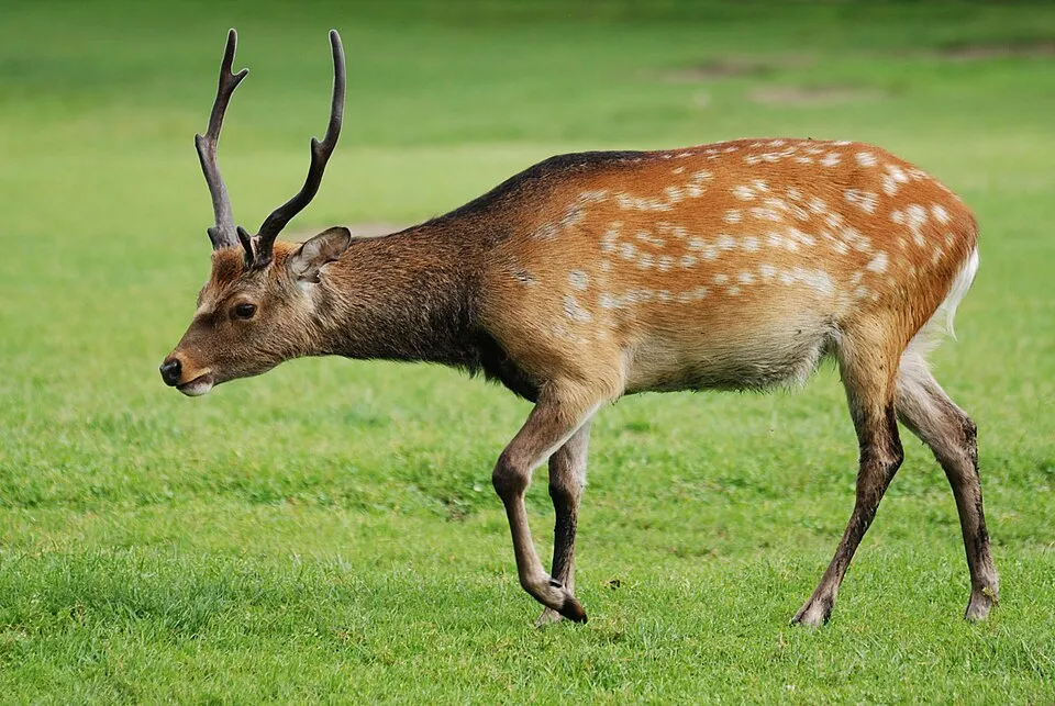 Sika deerEU
 Himalayan BalsamEU
 Japanese KnotweedEU
 Giant HogweedEU
 Egyptian GooseEU
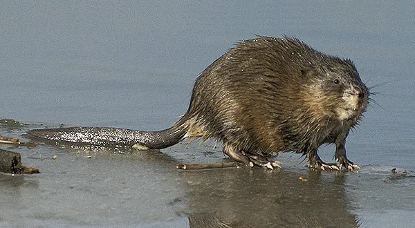 MuskratEU
 Tree-of-heavenEU
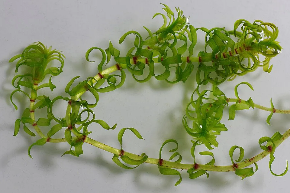 Western waterweedEU
Photos: Sika deer © Lilly M · CC BY-SA 3.0; Himalayan Balsam © Guptaele · CC BY-SA 4.0; Japanese Knotweed © W.carter · CC0-1.0; Giant Hogweed © anastasiiamerkulova · CC BY 4.0; Egyptian Goose © Rhododendrites · CC BY-SA 4.0; Muskrat © David Menke · Public domain; Tree-of-heaven © Darkone · CC BY-SA 2.5; Western waterweed © Christian Fischer · CC BY-SA 3.0
Sources: Global Forest Change (Hansen et al., University of Maryland, via Global Forest Watch, CC-BY 4.0); EFFIS, European Commission / Copernicus; NASA Black Marble 2016 (public domain); CORINE Land Cover 2018 (Copernicus) or MODIS.
CORINE Land Cover Change 2000–2018: generated using European Union's Copernicus Land Monitoring Service information (EEA), aggregated by Parkavela; DOI 10.2909/f30f1000-7cf8-43bb-872c-5eb093911b24.
Invasive alien species: Global Register of Introduced and Invasive Species (ISSG, CC BY 4.0); Union list, Regulation (EU) 1143/2014 (INBO, CC0); GBIF.org records (CC0 / CC BY 4.0), at least 2 per species.
Practical information
Cities and airport
- Winterthur
14 km as the crow flies - Zurich
20 km as the crow flies - Airport: Zurich (ZRH)
10 km as the crow flies
Visitor information
- Fachstelle Landschaft und Wein
within the site - Rheinfall
< 1 km from the site boundary - Info Shop Rheinfall
< 1 km from the site boundary - Tourismusbüro Eglisau
1 km from the site boundary
Things to see
7 lakes and ponds · 3 caves
- Morgetshofsee
lake or pond - Kesslerloch
cave · 440 m - Nägelsee
lake or pond · 447 m - Vorder Eichen, paläolithisches Jägerlager
cave · 435 m - Wäier
lake or pond · 420 m
Hiking
191 waymarked routes listed, including:
E 5OstwegSur les pas des Huguenots et des Vaudois du PiémontHochrhein JakobswegHochrhein-HöhenwegWasserWeltenSteig
By bike
EV6 / EV15 · 10 km D6 D-Route 6 - Donauroute · 9 kmD8 D8 Rhein-Route · 9 km3WR Drei-Welten-Radweg · 13 km77 Rigi-Reuss-Klettgau · 13 km
+ 20 local loops
Signed cycle routes: this does not mean that cycling is allowed on footpaths.
Data © OpenStreetMap contributors (ODbL) · Wikidata (CC0)
Contains information from EuroVelo GPX tracks downloaded from www.EuroVelo.com on 2026-10-22, which is made available here under the Open Database License (ODbL). EuroVelo® is a registered trademark of the ECF. Routes © OpenStreetMap contributors (ODbL), via Waymarked Trails
Waymarked hiking routes
E5 Chemin de randonnée Européen E5, Suisse
10.8 km within the site ↗ 83 m↘ 186 m 342–498 m
HuWa Sur les pas des Huguenots et des Vaudois du Piémont
3.3 km within the site ↗ 96 m↘ 84 m 461–525 m
Tracks © OpenStreetMap contributors (ODbL), clipped to the boundary; elevation gain and profiles computed on the longest section from Mapzen Terrain Tiles (≈ 30 m), indicative only.
Access and visiting
Trasadingen railway station lies within the site. Nearest towns of over 50,000 people, as the crow flies: Winterthur (14 km) and Zurich (20 km). Nearest airport: Zurich (ZRH), about 10 km away. About 1.3 million people live within 20 km of the site boundary, 330,000 of them within 10 km; some 46,000 people are estimated to live inside (GHSL estimate, 2020). This population has grown by about 18% since 2000. Visitor information on site: Fachstelle Landschaft und Wein, Rheinfall and Info Shop Rheinfall. Waymarked hiking routes listed in OpenStreetMap: 191, including E 5, Ostweg, Sur les pas des Huguenots et des Vaudois du Piémont and Hochrhein Jakobsweg. The EuroVelo 6 and EuroVelo 15 cycle routes, which share the same line here, cross the site for about 10 km; 4 other signed cycle routes also pass through, including “D6 D-Route 6 - Donauroute” and “D8 D8 Rhein-Route” (EuroVelo, OpenStreetMap). To see: 7 lakes and ponds and 3 caves, including Morgetshofsee, Kesslerloch (440 m), Nägelsee (447 m) and Vorder Eichen, paläolithisches Jägerlager (435 m). To plan a visit (access, opening periods, visitor rules), it is best to consult the official information from the managing body and the official website listed in this page's sources.
Source: OpenStreetMap (ODbL), Wikidata (CC0), October 2026.
Built heritage
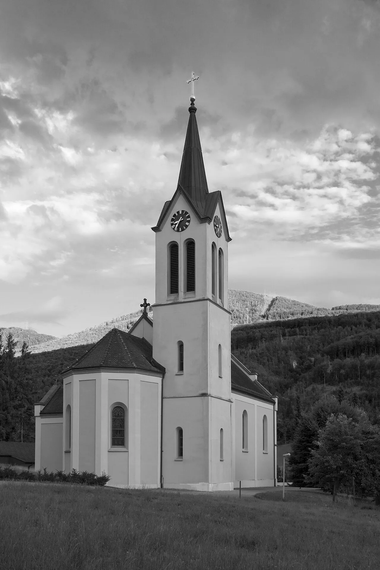
According to Wikidata, 256 monuments listed in the Swiss Inventory of Cultural Property of National and Regional Significance stand within the boundary, 21 of them of national significance. Among them are 43 houses and civic buildings, 26 religious buildings and 23 prehistoric and archaeological sites. Nationally designated items include “Bergkirche St. Moritz” in Hallau, “Brüel, early medieval settlement” in Schleitheim and “House to the Hirzen” in Thayngen.
43 houses and civic buildings26 religious buildings23 prehistoric and archaeological sites8 bridges, lighthouses, mills and working buildings7 castles and fortifications
-
Bergkirche St. Moritz
National
Hallau -
Brüel, early medieval settlement
National
Schleitheim -
House to the Hirzen
National
Thayngen -
House to the vine
National
Thayngen -
Hebsack, early medieval burial ground
National
Schleitheim -
Flühhalde, Neolithic hilltop settlement
National
Wilchingen -
Trottenhaus
National
Wilchingen · 16th c. -
Town fortification
National
Neunkirch
and 248 more
Source: Wikidata (CC0), monuments in each country’s official heritage protection registers, at national or regional level. Each item links to its Wikidata entry.
When to visit
Best time to visit: September and October, with average temperatures of 10 to 15 °C and moderate rainfall. Snow only makes brief appearances in winter (about 20 days a year on average, MODIS satellites 2015–2025). Day length ranges from about 8 h 26 min in December to 15 h 58 min in June. Wildlife records published on GBIF peak for birds (April and May), plants (May and June), butterflies and moths (July), dragonflies (July) and mammals (from May to July). These peaks also reflect when observers are most active.
Source: Copernicus ERA5-Land (C3S), monthly averages 1996–2025 at the representative point, temperatures adjusted for elevation.
Contains modified Copernicus Climate Change Service information 2026. Neither the European Commission nor ECMWF is responsible for any use that may be made of the Copernicus information or data it contains.
Wildlife records calendar
JFMAMJJASOND
Birds
Plants
Butterflies & moths
Dragonflies
Mammals
Monthly records published on GBIF (CC-BY), relative to the busiest month; also reflects observer activity.
Gallery
© Regionaler Naturpark Schaffhausen · CC BY-SA 3.0
© Hansueli Krapf · CC BY-SA 3.0
© Adrian Michael · CC BY 3.0
© Uwelino · CC BY-SA 4.0
© Adrian Michael · CC BY 3.0
© Hansueli Krapf · CC BY-SA 4.0
Sources and licences
- Wikidata: Q2138348
- OpenStreetMap: relation 7937764
- Wikipedia: de.wikipedia.org/wiki/Regionaler_Naturpark_Schaffhausen
References
- map.geo.admin.ch: official area · OGD-CH-BY
- cds.climate.copernicus.eu: climate · CC-BY-4.0
- registry.opendata.aws: elevation of the reference point, detailed relief · PD
- land.copernicus.eu: land cover, land cover change, sea share · COPERNICUS
- doi.org: population around the site · CC-BY-4.0
- eea.europa.eu: bathing water quality · CC-BY-4.0
- en.eurovelo.com: EuroVelo cycle routes · ODbL-1.0
- cycling.waymarkedtrails.org: cycle routes · ODbL-1.0
- opentopodata.org: elevations · PD
- forest-fire.emergency.copernicus.eu: wildfires · COPERNICUS
- globalforestwatch.org: tree cover loss · CC-BY-4.0
- gbif.org: seasonality of sightings, invasive alien species, observed species · CC-BY-4.0
- wikidata.org: protected heritage, nearby cities and airport, access and peaks, lake depths, places to see · CC0-1.0
- hydrosheds.org: lakes · CC-BY-4.0
- openstreetmap.org: official name, access and peaks · ODbL-1.0
- earthobservatory.nasa.gov: night light · PD
- hiking.waymarkedtrails.org: route difficulty · ODbL-1.0
- nsidc.org: snow cover · PD
- wikidata.org: Wikipedia article · CC-BY-SA-4.0
Data © OpenStreetMap contributors (ODbL), Wikidata (CC0) and the sources cited.