
Insect
Marbled white: where to see it
Melanargia galathea
This insect species is recorded in 25 protected areas of the atlas. Within the atlas countries, it is mostly observed in the United Kingdom, Switzerland and France (5 countries in all). Most records (8 in 10) lie between 150 and 1,350 m above sea level. Records peak from June to July.
Best time to see it: June–July
Records published on GBIF by month (CC0 and CC BY 4.0 licences only), in the atlas countries, all years combined; they also reflect observer activity.
Distribution
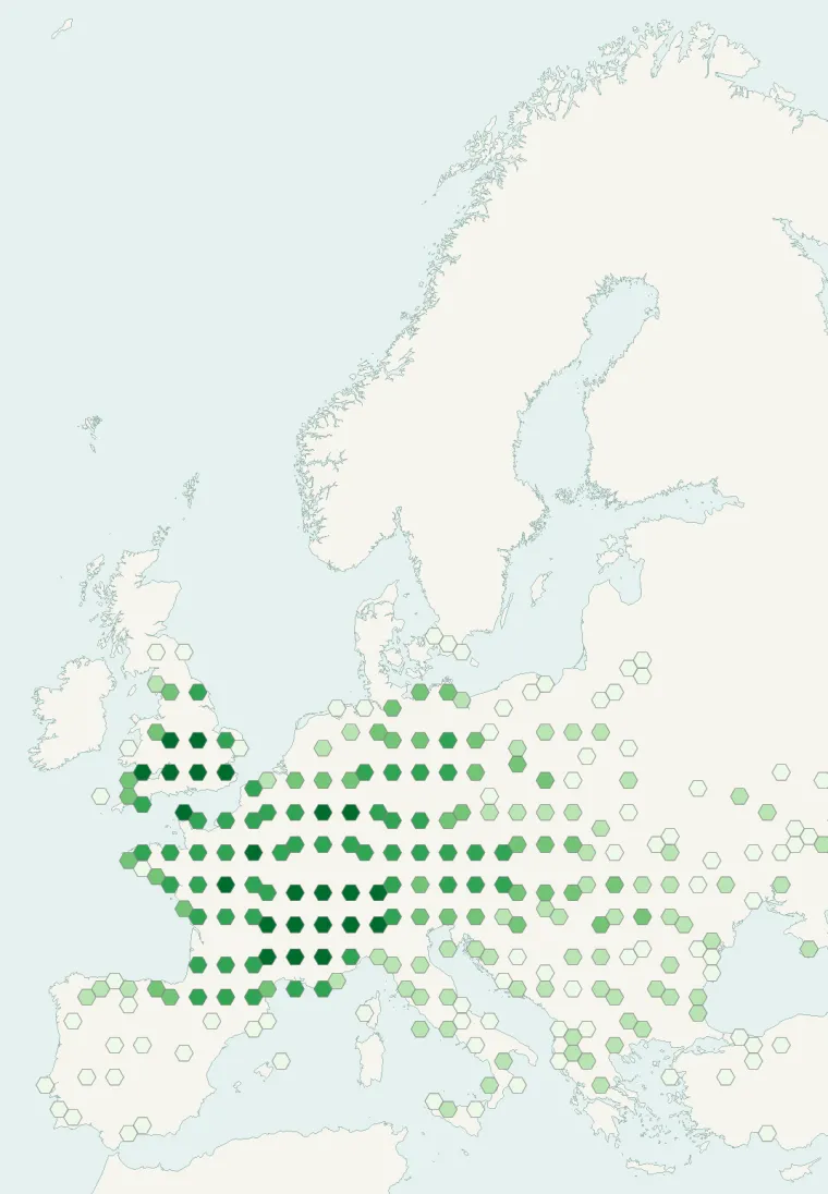
Records published on GBIF (CC0 and CC BY 4.0 licences): the darker the shade, the more records there are; they also reflect observation effort.
Atlas countries where it is recorded
From Wikipedia
Melanargia galathea, the marbled white, is a medium-sized butterfly in the family Nymphalidae. The marbled white was described in 1666 by C Merrett, and in 1695 James Petiver found a specimen in a wood near Hampstead and called it Papilio leucomelanus, our half-Mourner, to distinguish it from the Bath White, which Vernon (1702) had called the half-Mourner. It was also known as The Marmoris by Benjamin Wilkes and The Marmoress by Moses Harris. The butterfly was, also described in 1758, by the Swedish biologist and physician, Carl Linnaeus who formalised binomial nomenclature.
Source: Wikipedia, article “Melanargia galathea” (version of April 22, 2026) · history and authors · licence CC BY-SA 4.0 · shortened excerpt
Protected areas where it is recorded
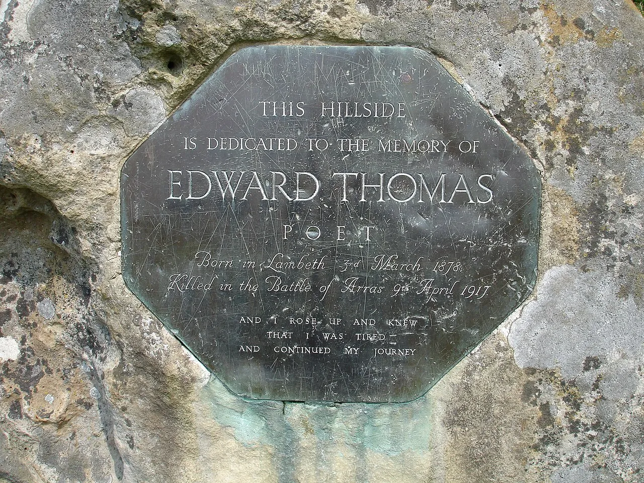
24,479 records
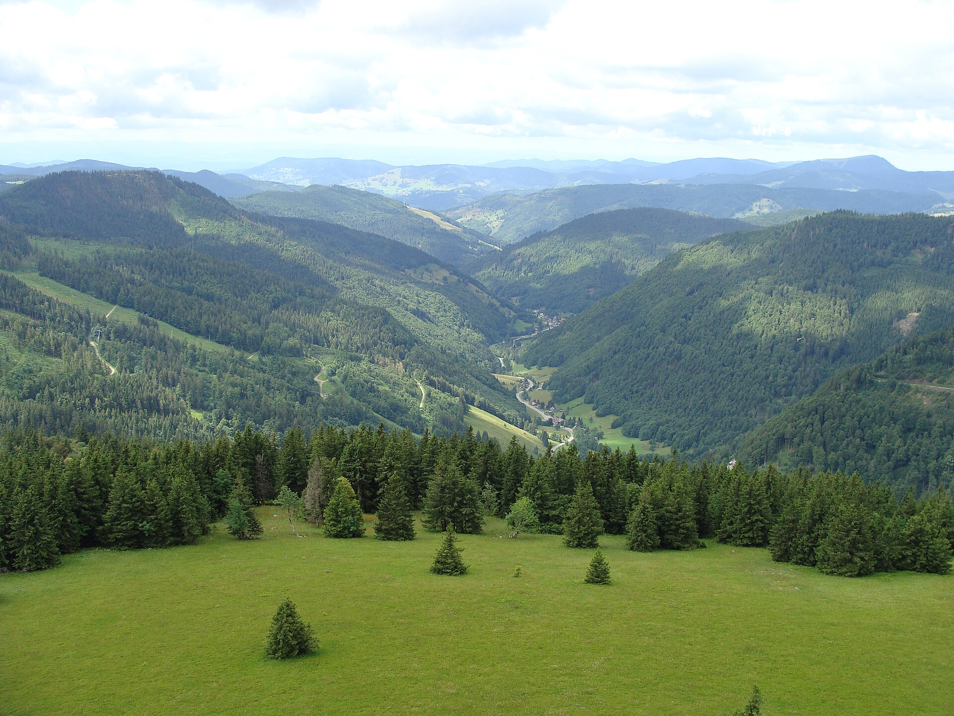
12,168 records
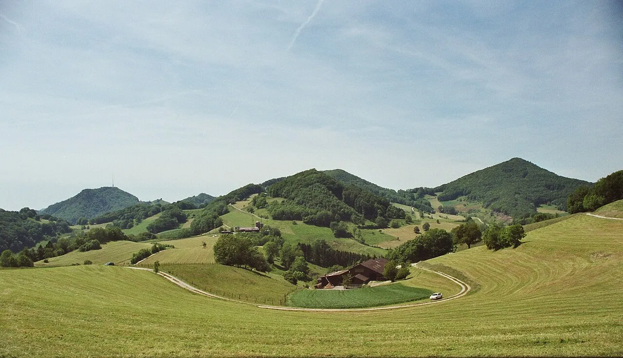
8,163 records

7,005 records
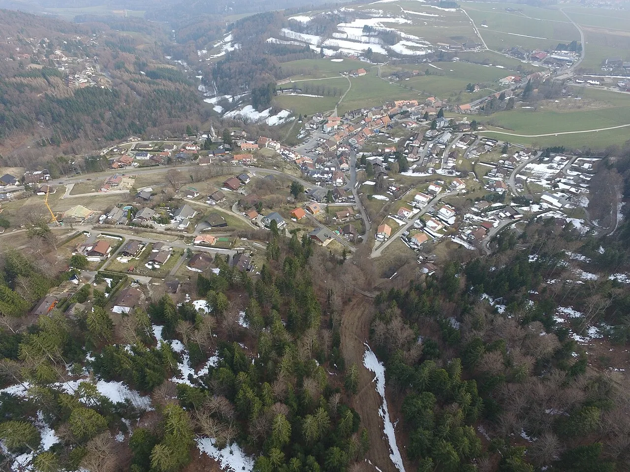
4,712 records

4,693 records
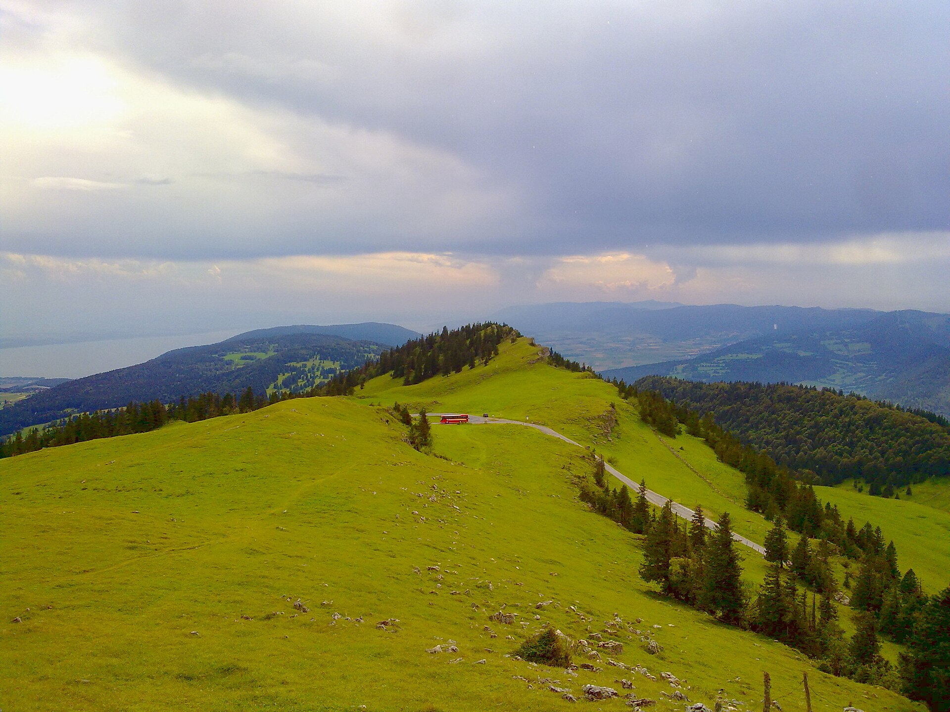
4,182 records
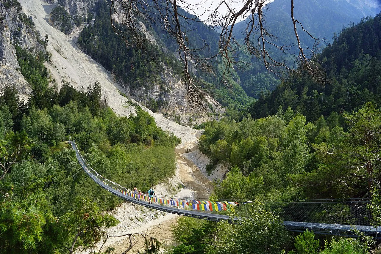
3,809 records
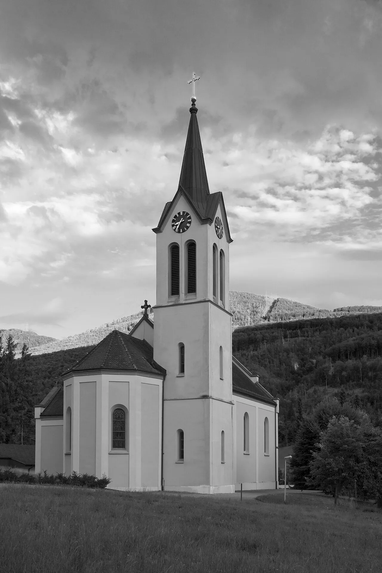
3,141 records
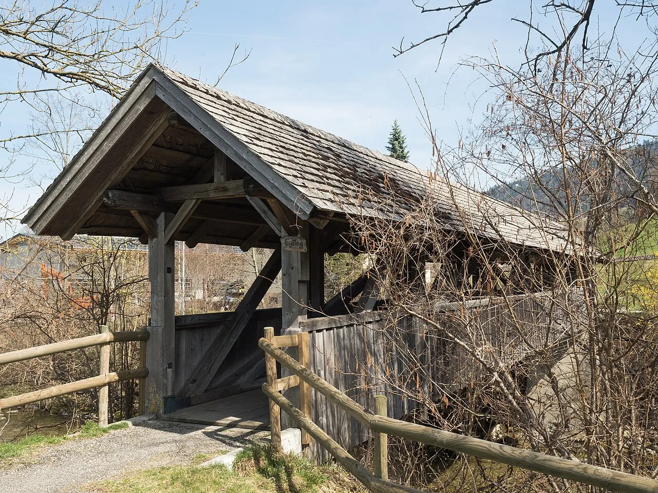
2,997 records
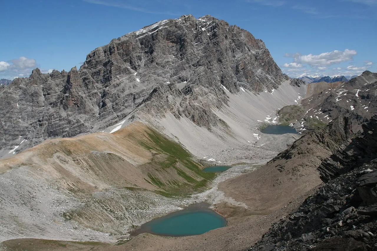
2,221 records
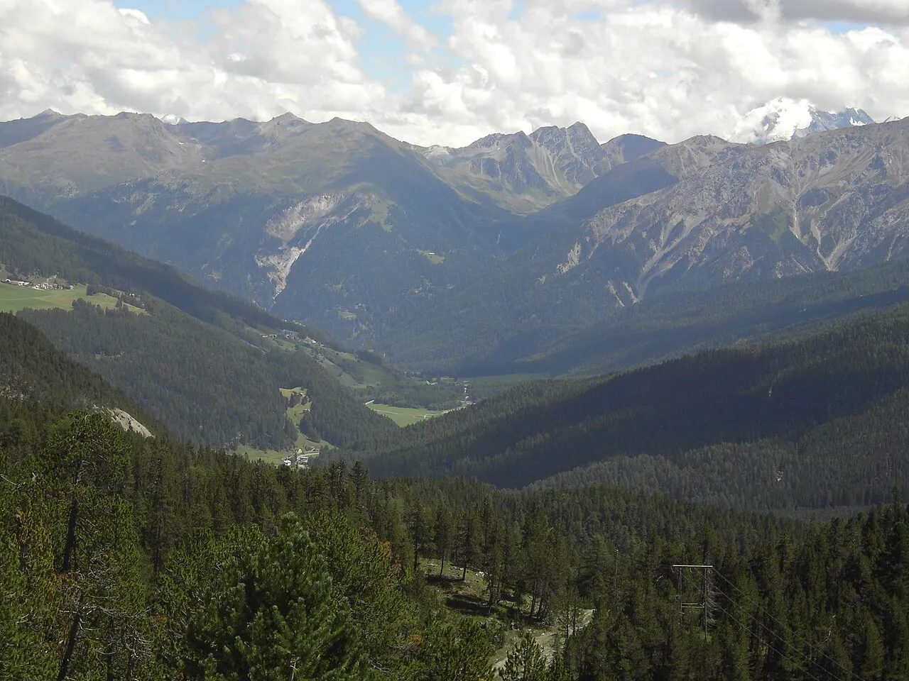
1,704 records
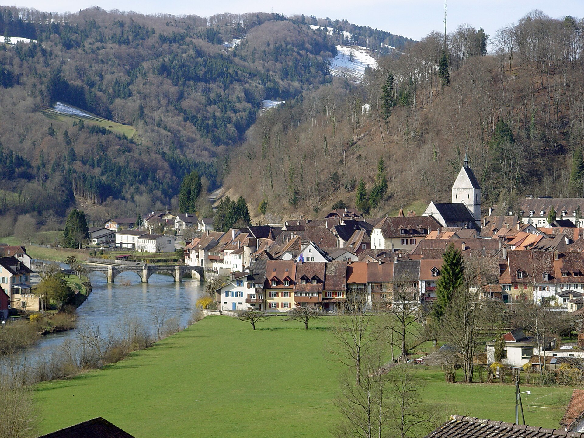
1,260 records
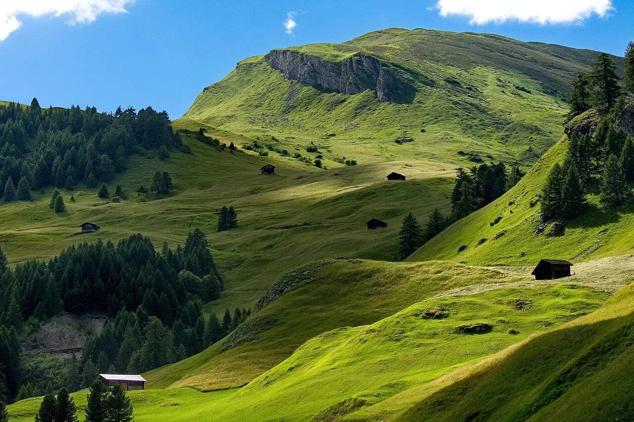
1,080 records
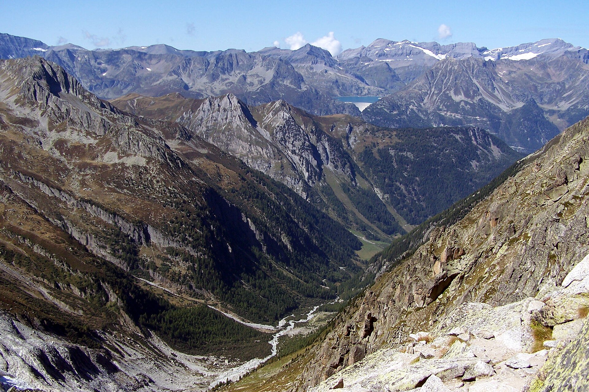
697 records
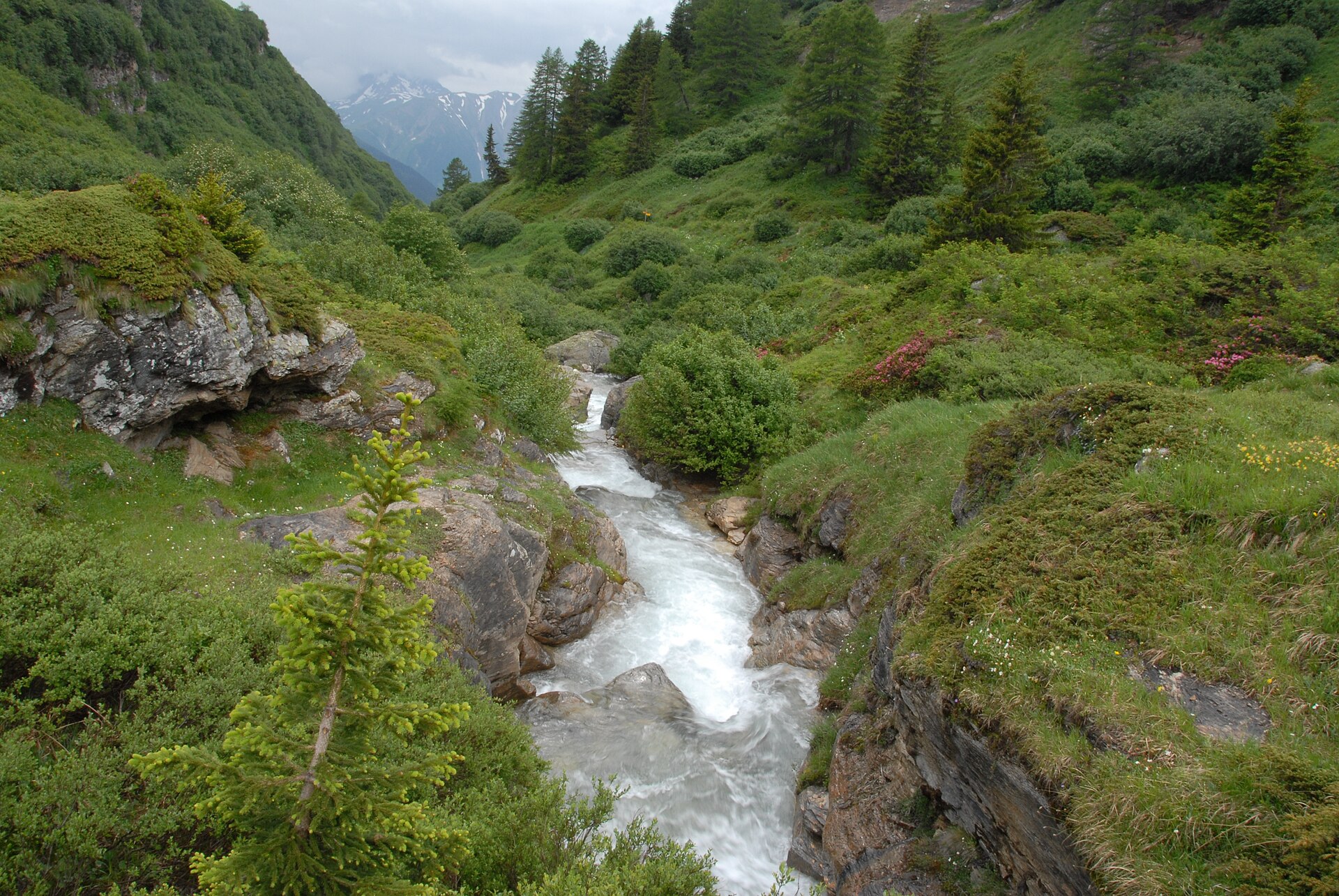
381 records
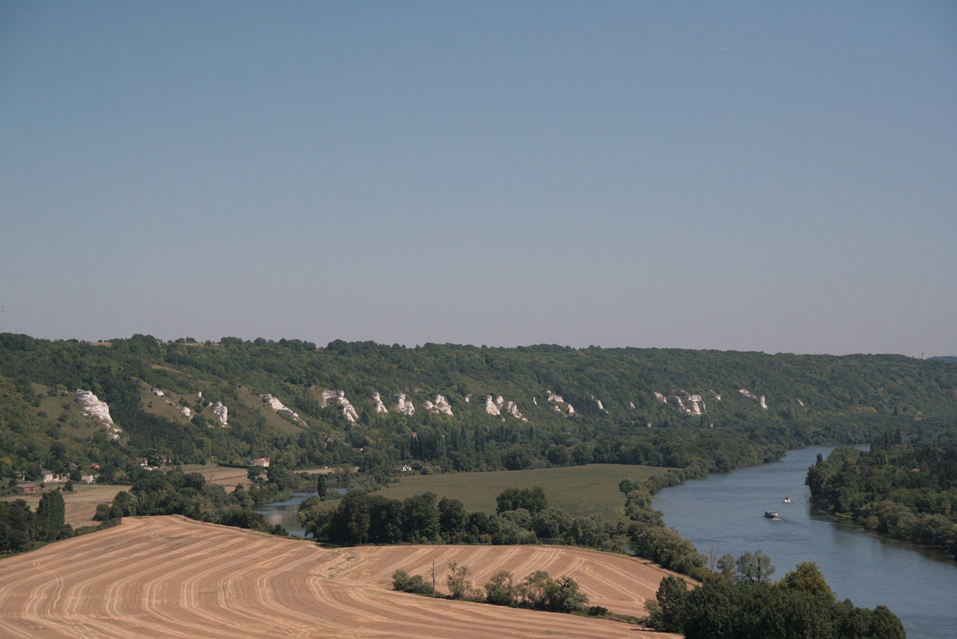
154 records
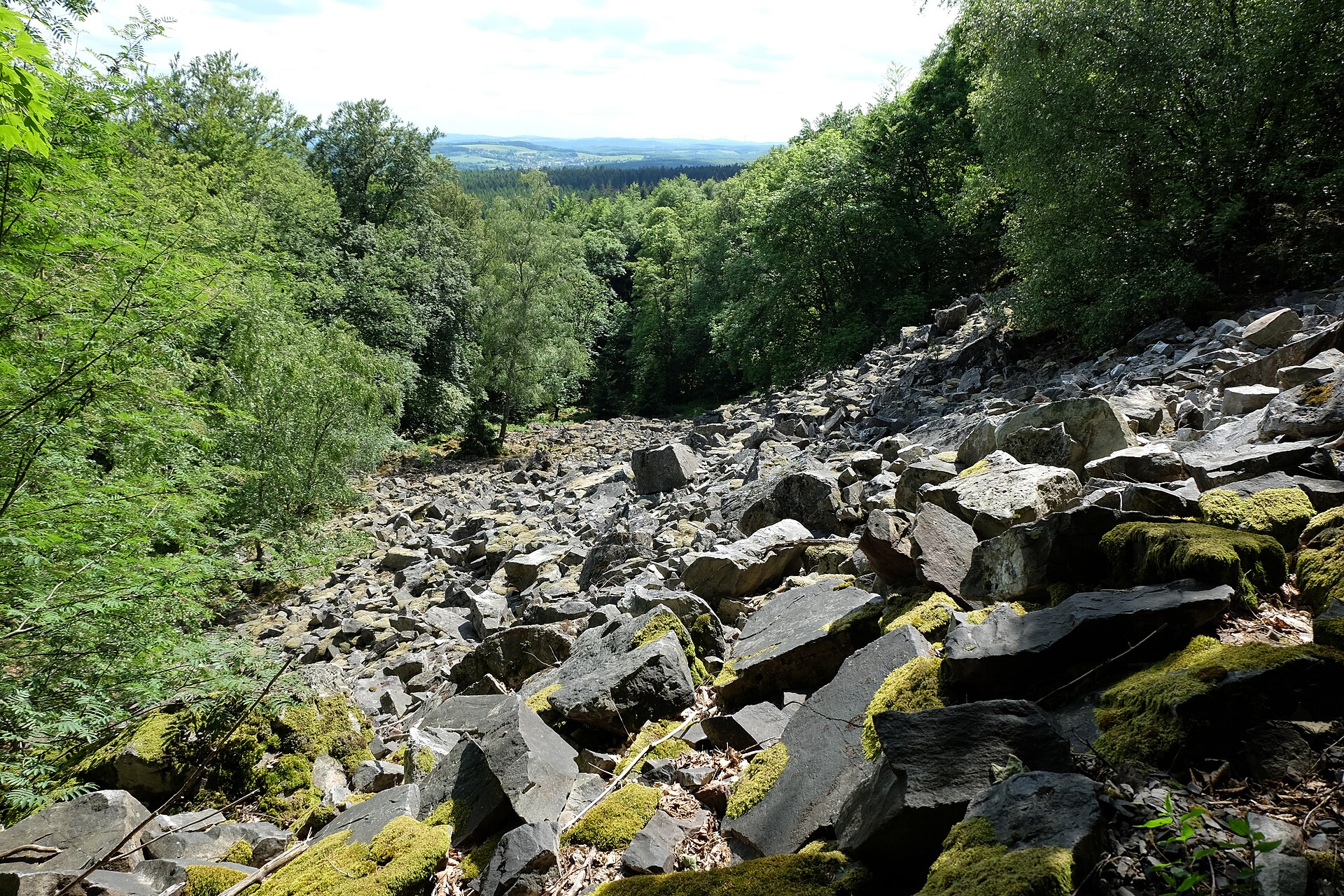
106 records
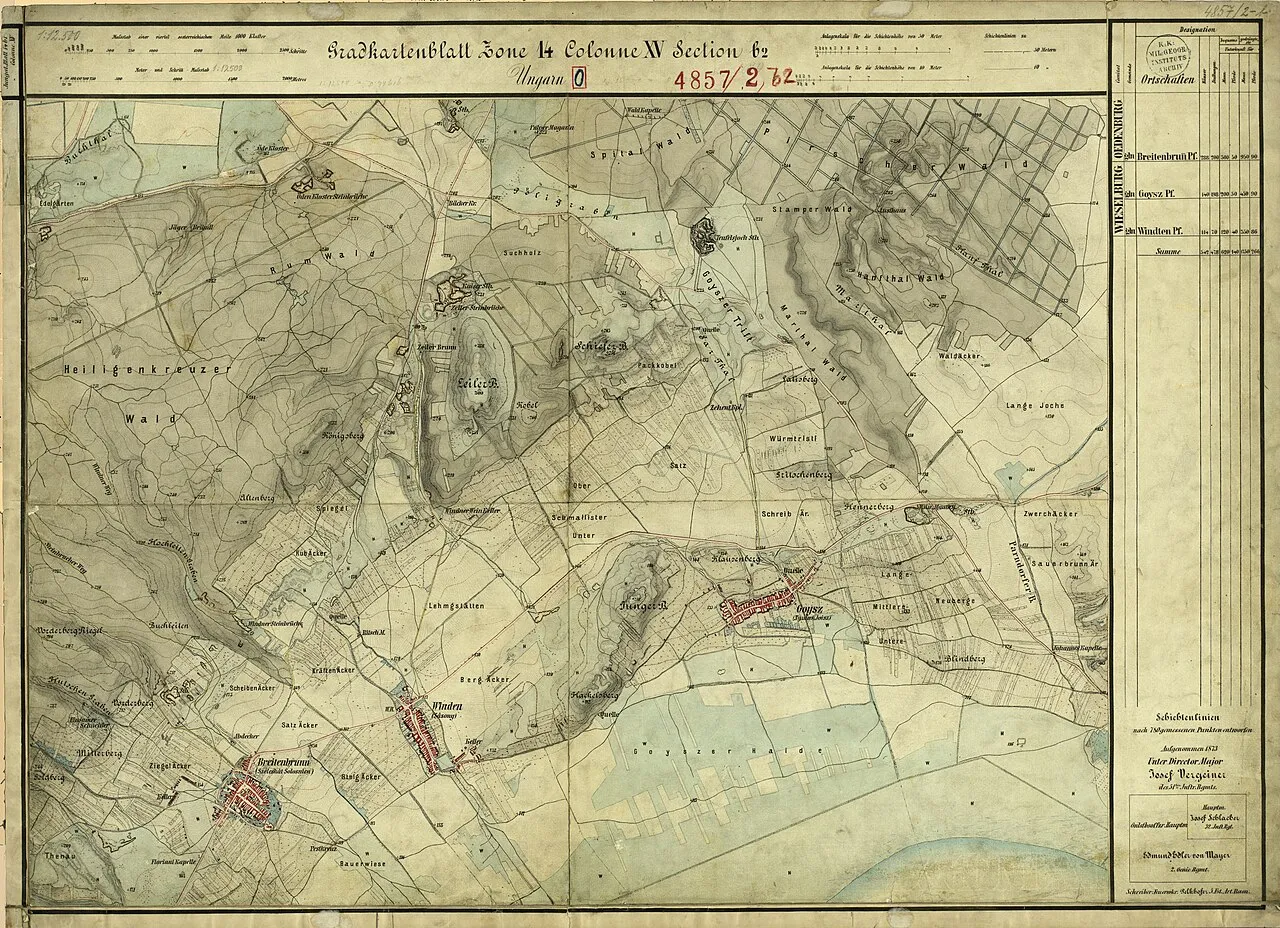
82 records
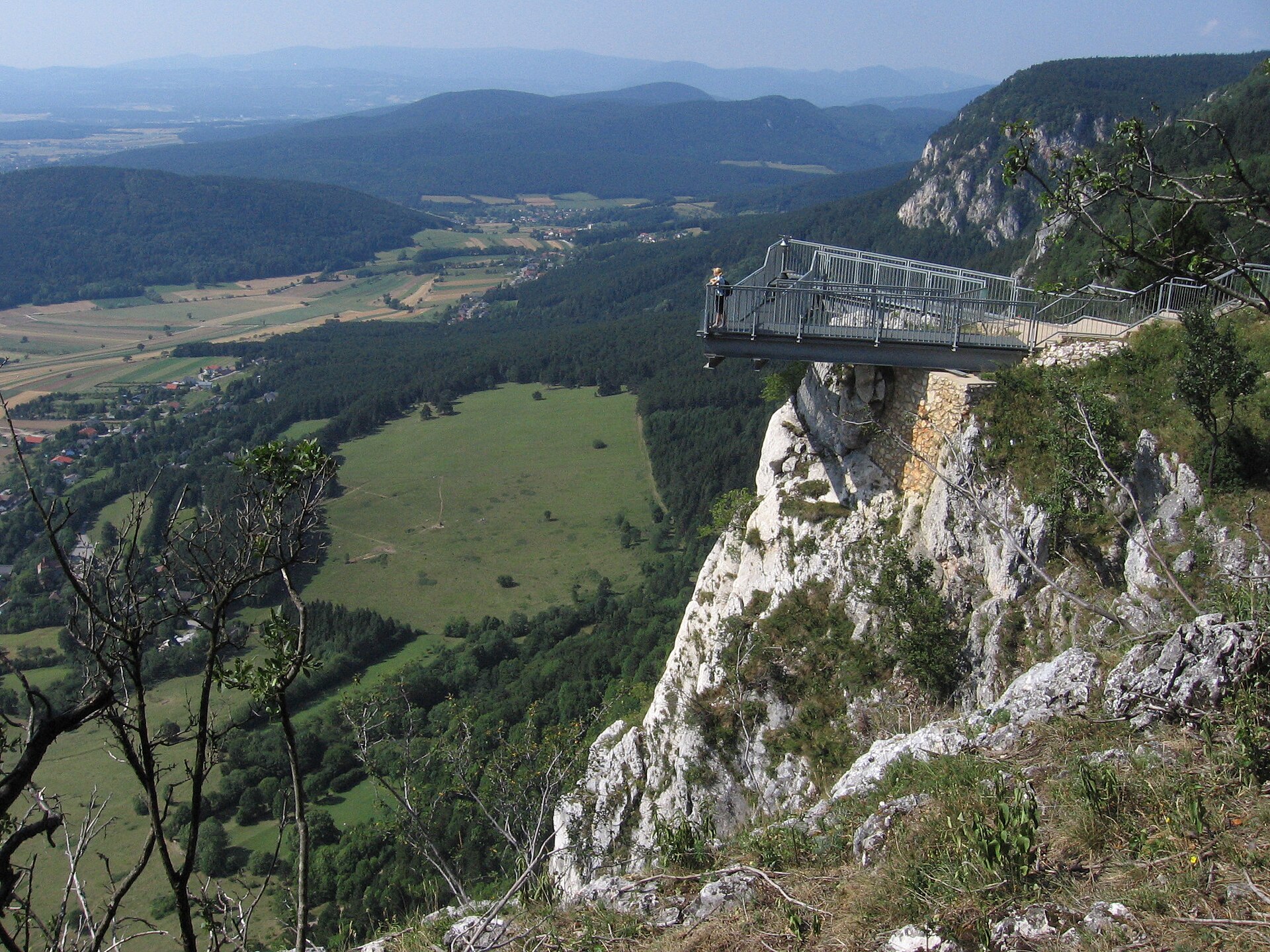
44 records
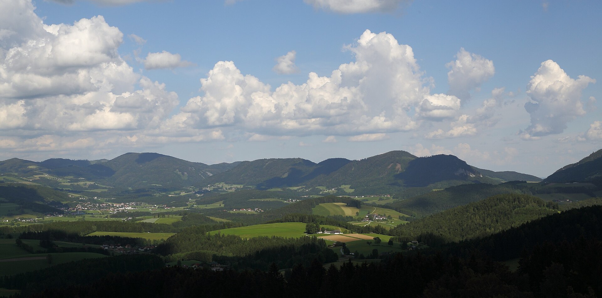
29 records
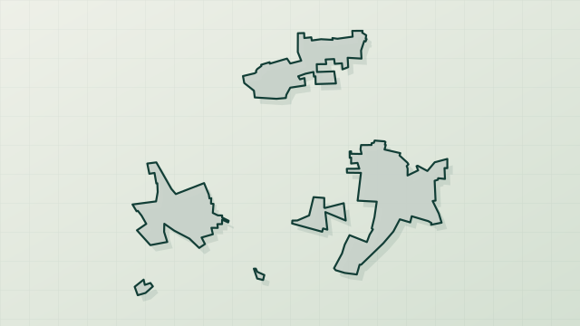
28 records
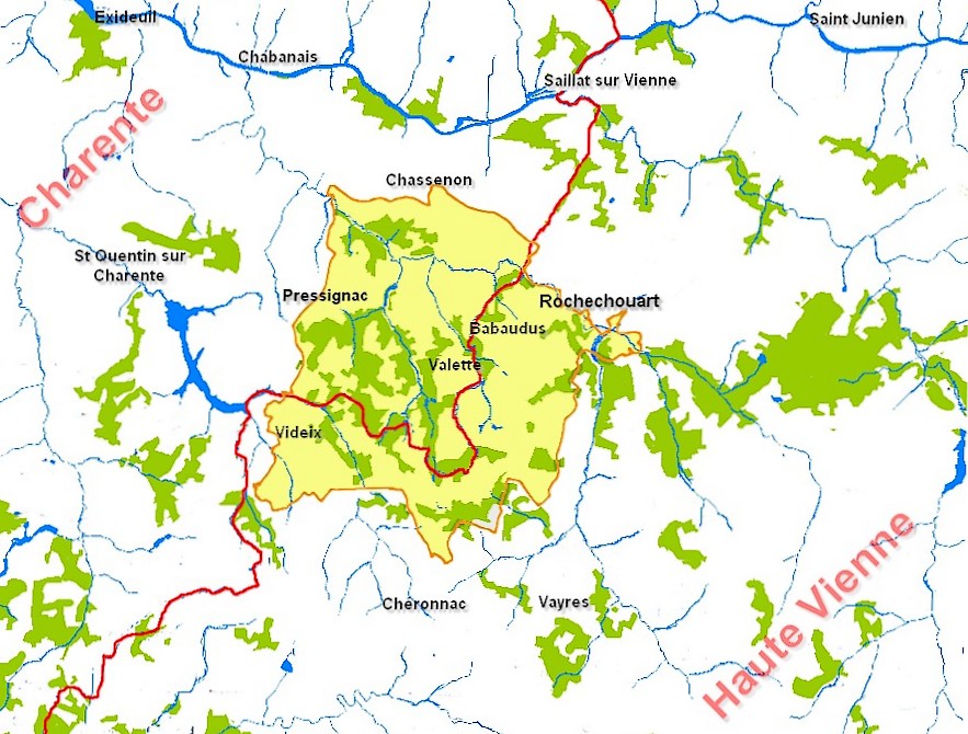
12 records
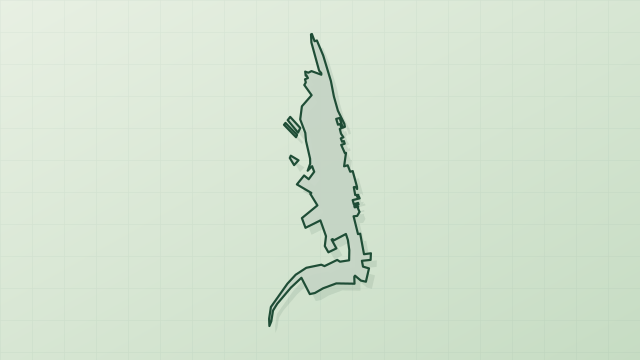
5 records
2 records
Other species to discover
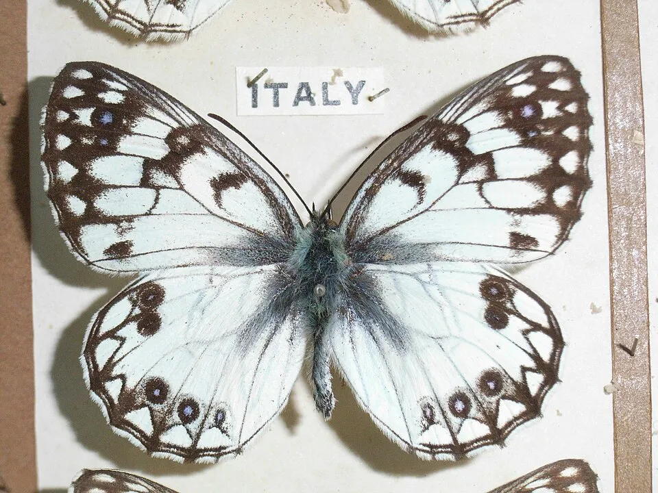 Italian Marbled White
Melanargia arge Same genus
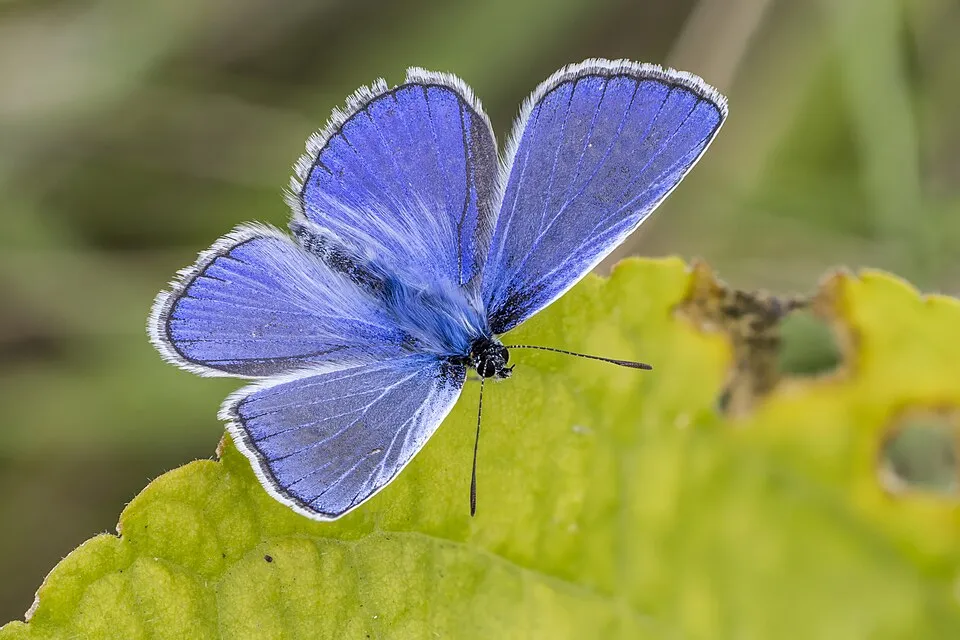 Common blue
Polyommatus icarus 18 places in common
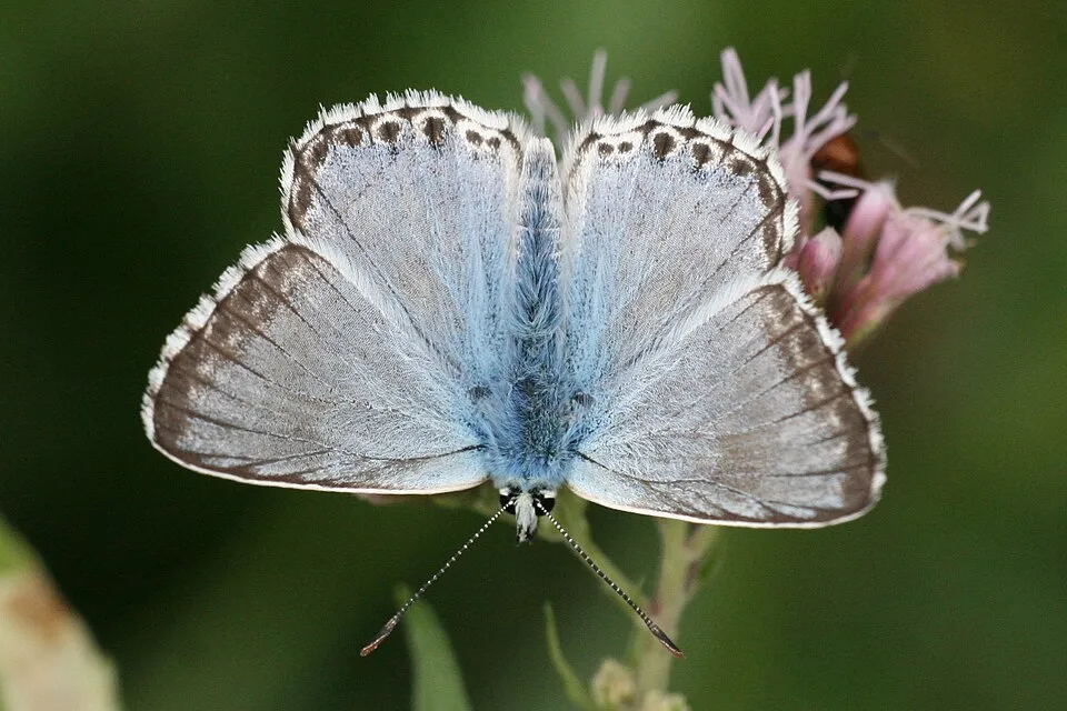 Chalk-hill Blue
Lysandra coridon 11 places in common
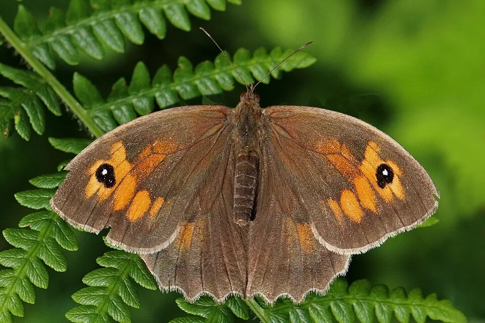 Meadow brown
Maniola jurtina 21 places in common
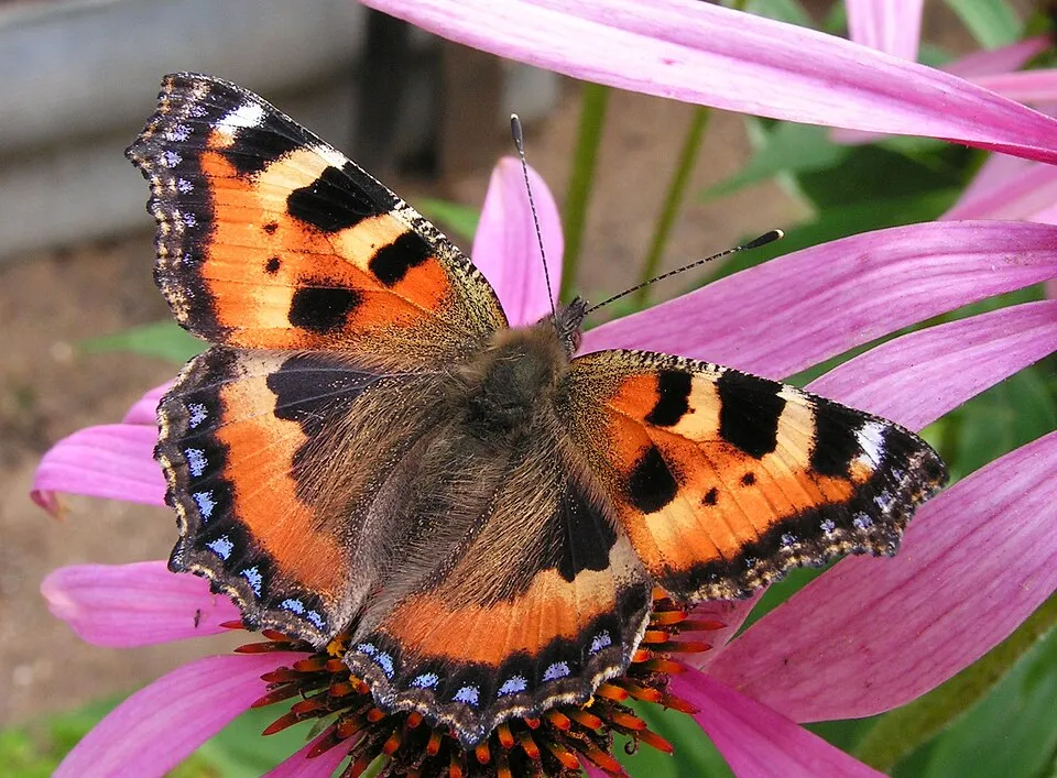 Small tortoiseshell
Aglais urticae 16 places in common
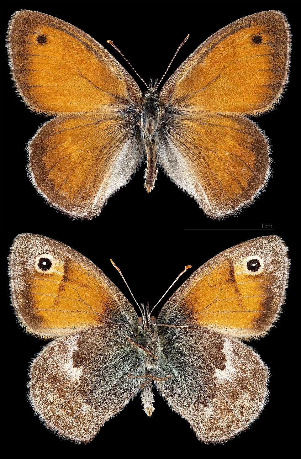 Small Heath
Coenonympha pamphilus 17 places in common
Sources and credits
- Presence: most-recorded species of each place on GBIF and species of Community interest in the Natura 2000 forms (EEA, CC-BY 4.0); absence from the list does not mean the species is absent.
- Common names: Wikidata (CC0) and GBIF.
- Photos and sounds: Wikimedia Commons, author and licence given for each file.
- Classification: GBIF Backbone Taxonomy (GBIF Secretariat), CC BY 4.0, doi:10.15468/39omei.
- Countries, elevations, months and maps: GBIF.org, CC0 or CC BY 4.0 occurrences only, accessed October 22, 2026, GBIF.org.
- Base map: Natural Earth (public domain).
- Excerpt: Wikipedia, CC BY-SA 4.0 (full credit below the excerpt).