
Insect
Meadow brown: where to see it
Maniola jurtina
This insect species is recorded in 48 protected areas of the atlas. Within the atlas countries, it is mostly observed in the United Kingdom, Switzerland and France (10 countries in all). Most records (8 in 10) lie between 110 and 1,050 m above sea level. Records peak from June to August.
Best time to see it: June–August
Records published on GBIF by month (CC0 and CC BY 4.0 licences only), in the atlas countries, all years combined; they also reflect observer activity.
Distribution
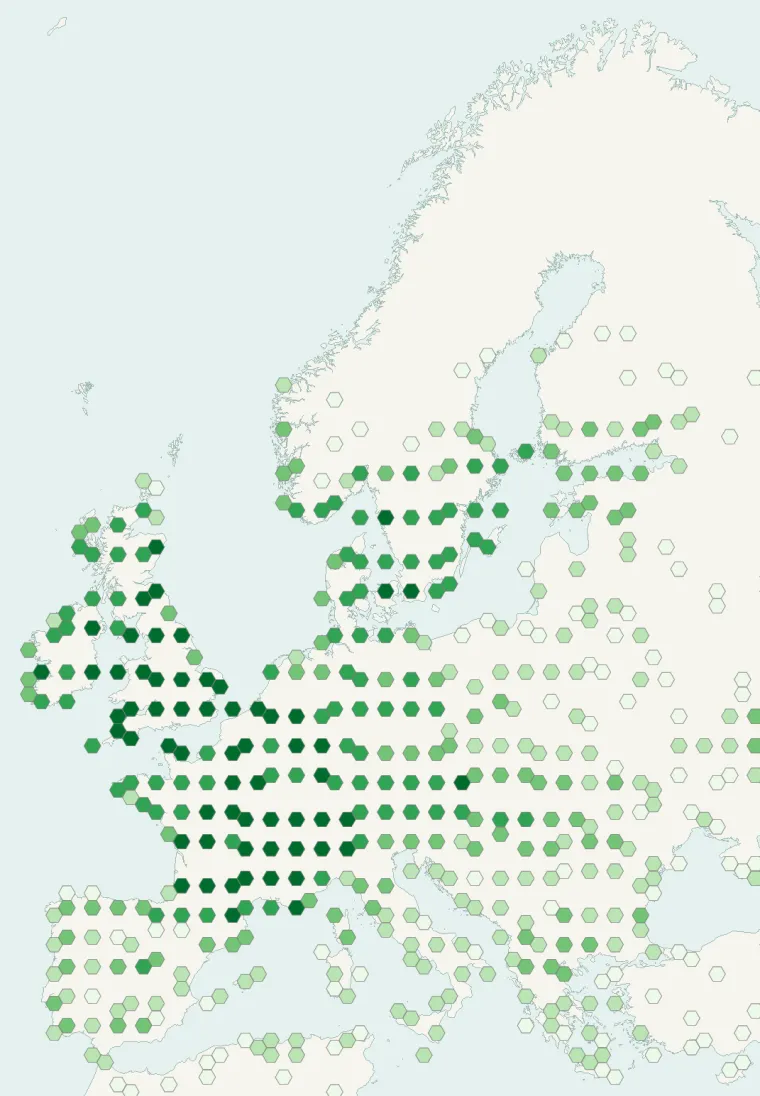
Records published on GBIF (CC0 and CC BY 4.0 licences): the darker the shade, the more records there are; they also reflect observation effort.
Atlas countries where it is recorded
From Wikipedia
The meadow brown (Maniola jurtina) is a butterfly found in the Palearctic realm. Its range includes Europe south of 62°N, Russia eastwards to the Urals, Asia Minor, Iraq, Iran, North Africa and the Canary Islands. The larvae feed on grasses.
Source: Wikipedia, article “Meadow brown” (version of September 11, 2026) · history and authors · licence CC BY-SA 4.0
Protected areas where it is recorded
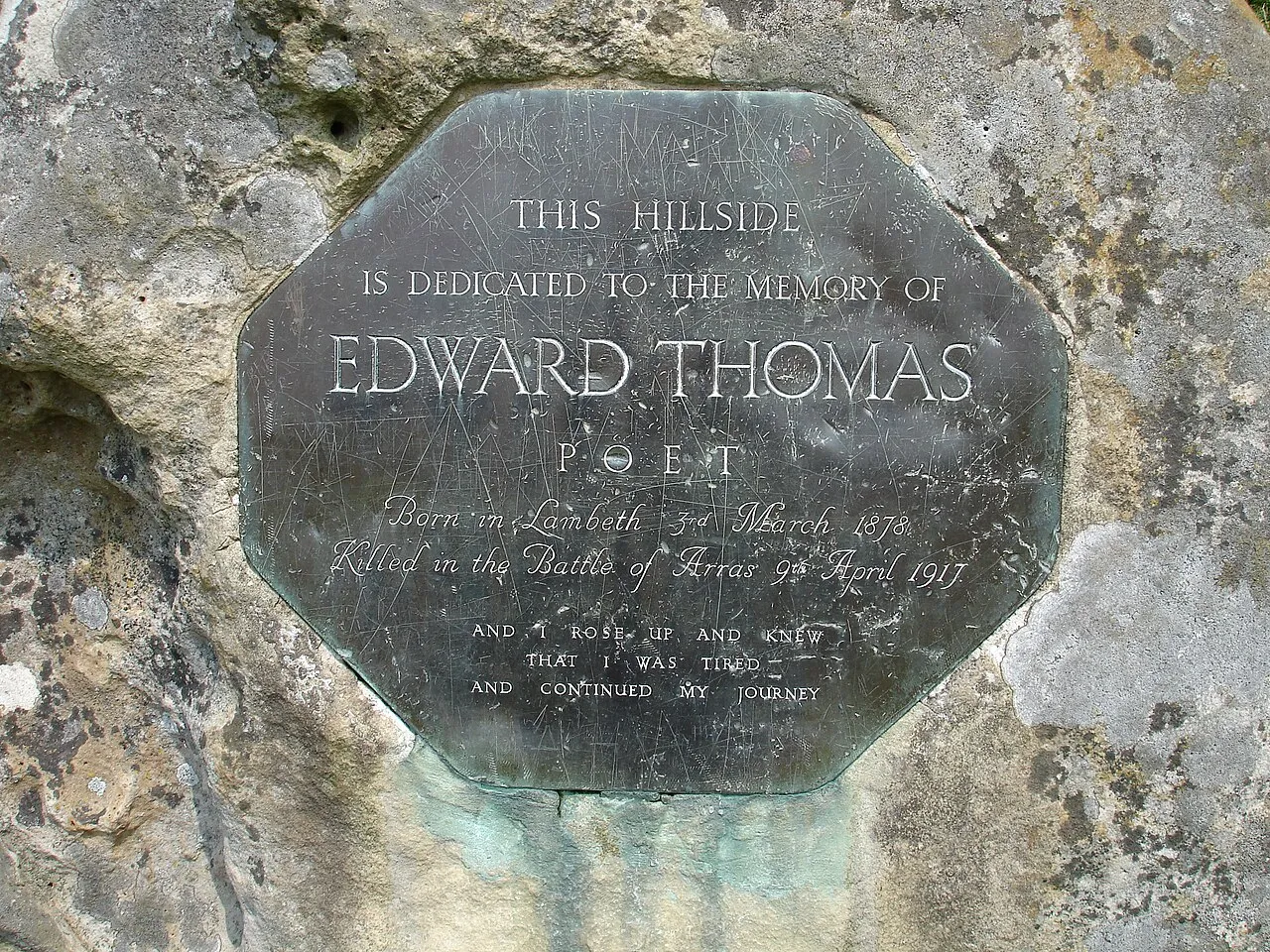
90,323 records
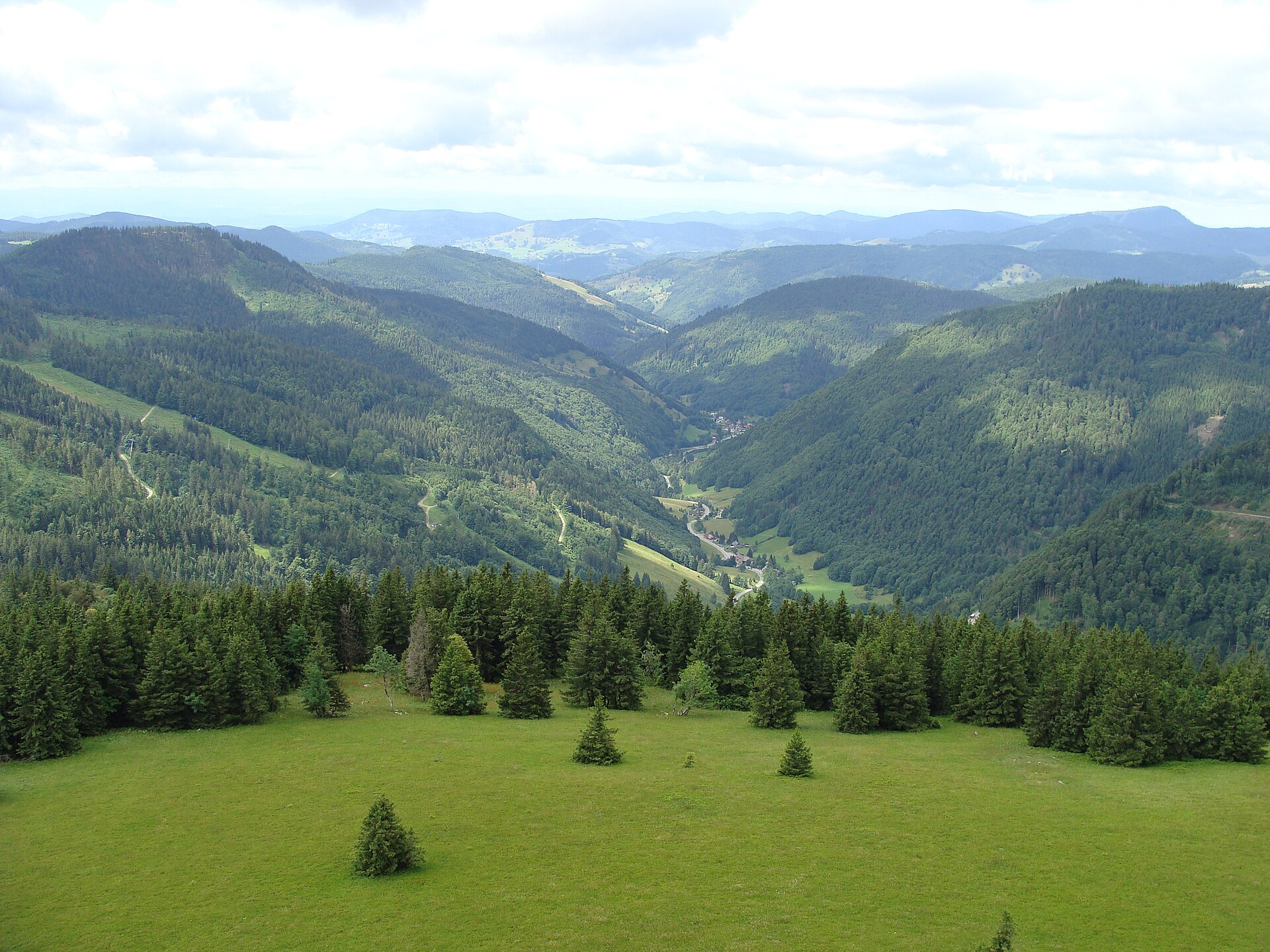
26,009 records

25,111 records
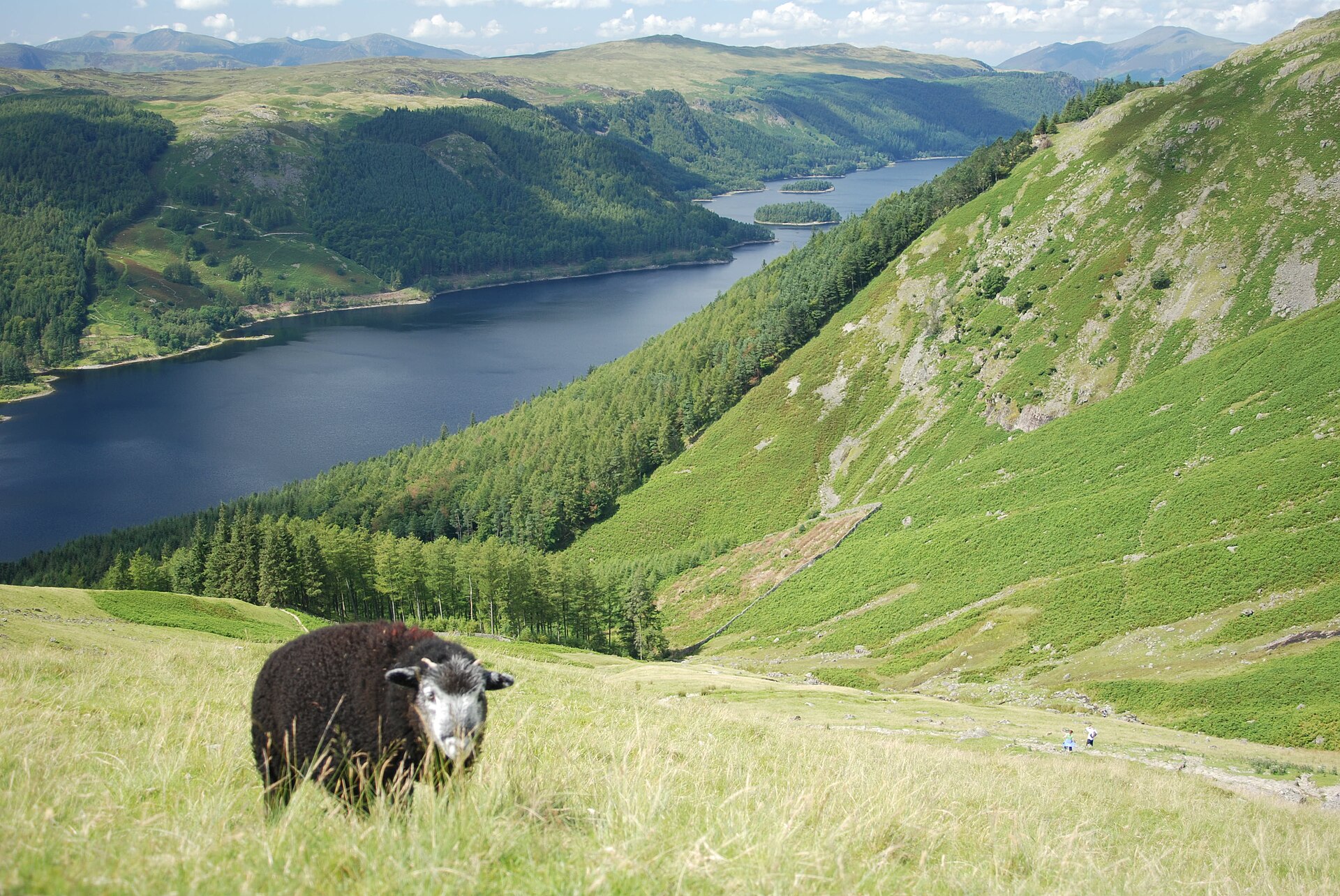
14,453 records
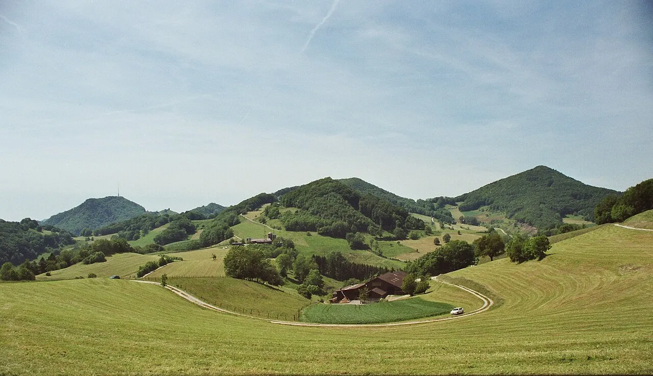
14,304 records

13,236 records
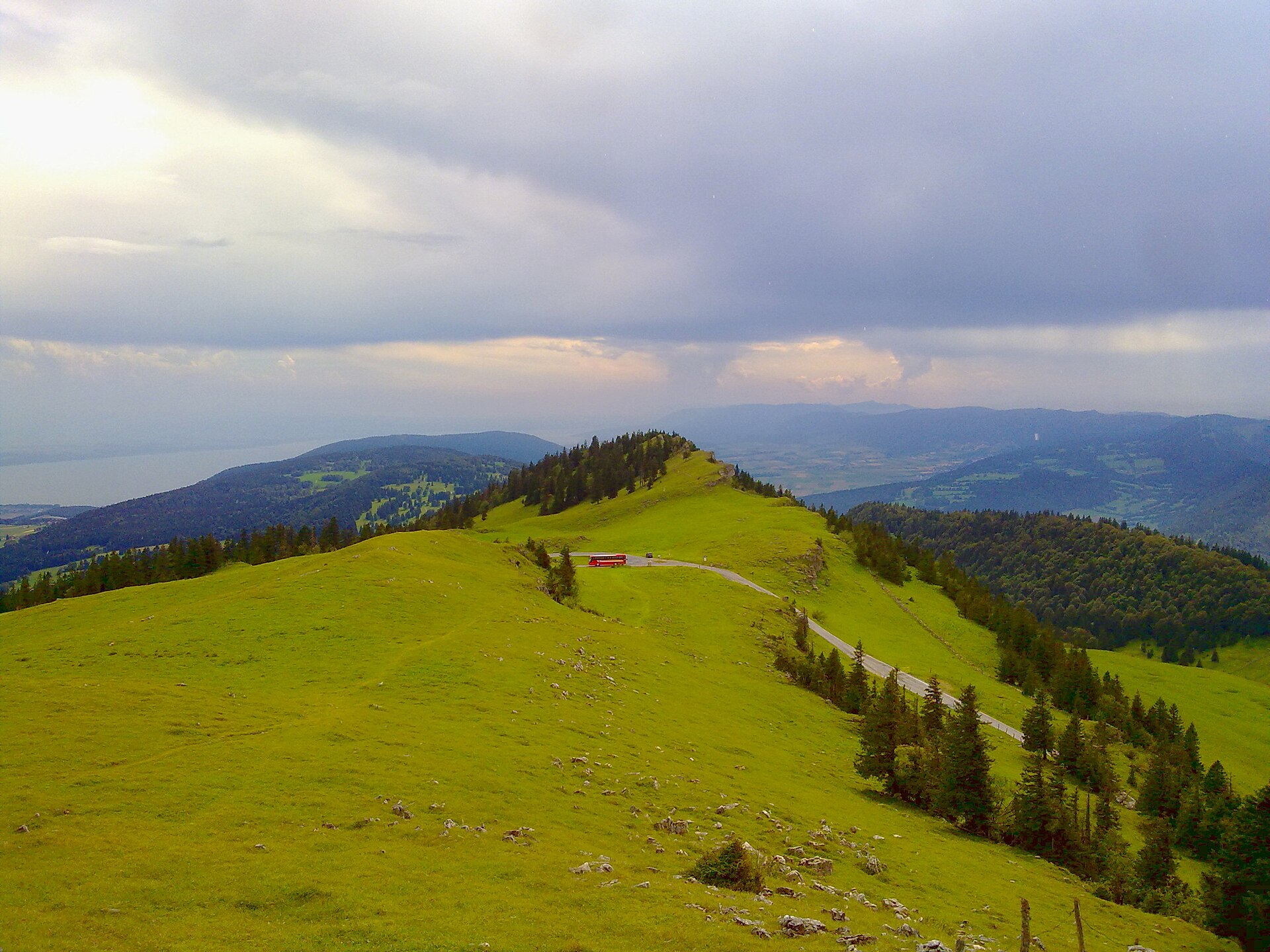
11,779 records
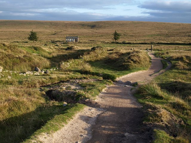
9,247 records

8,606 records

8,004 records
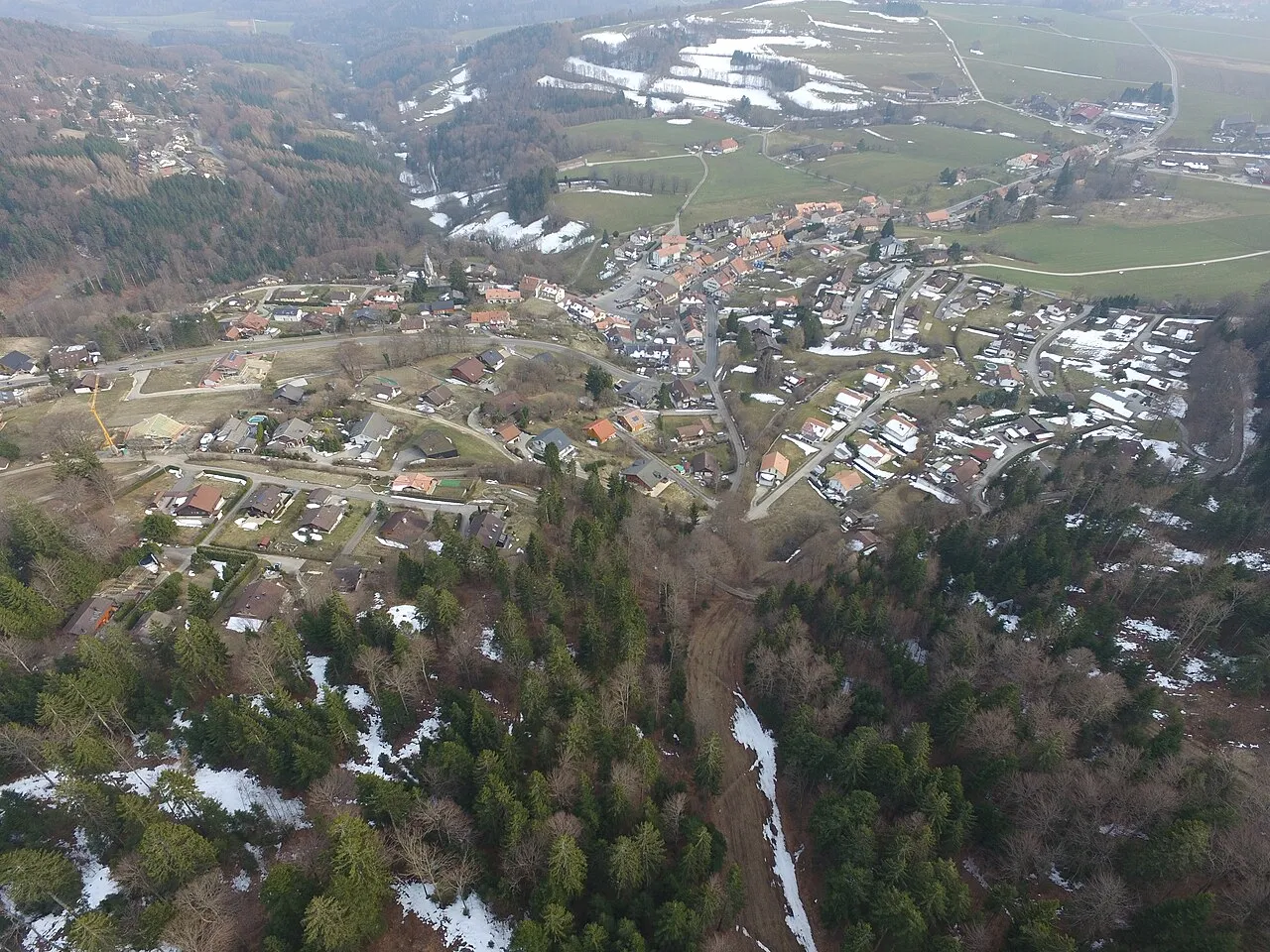
7,734 records

6,654 records
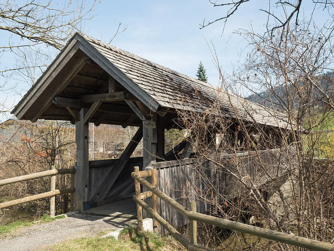
5,672 records
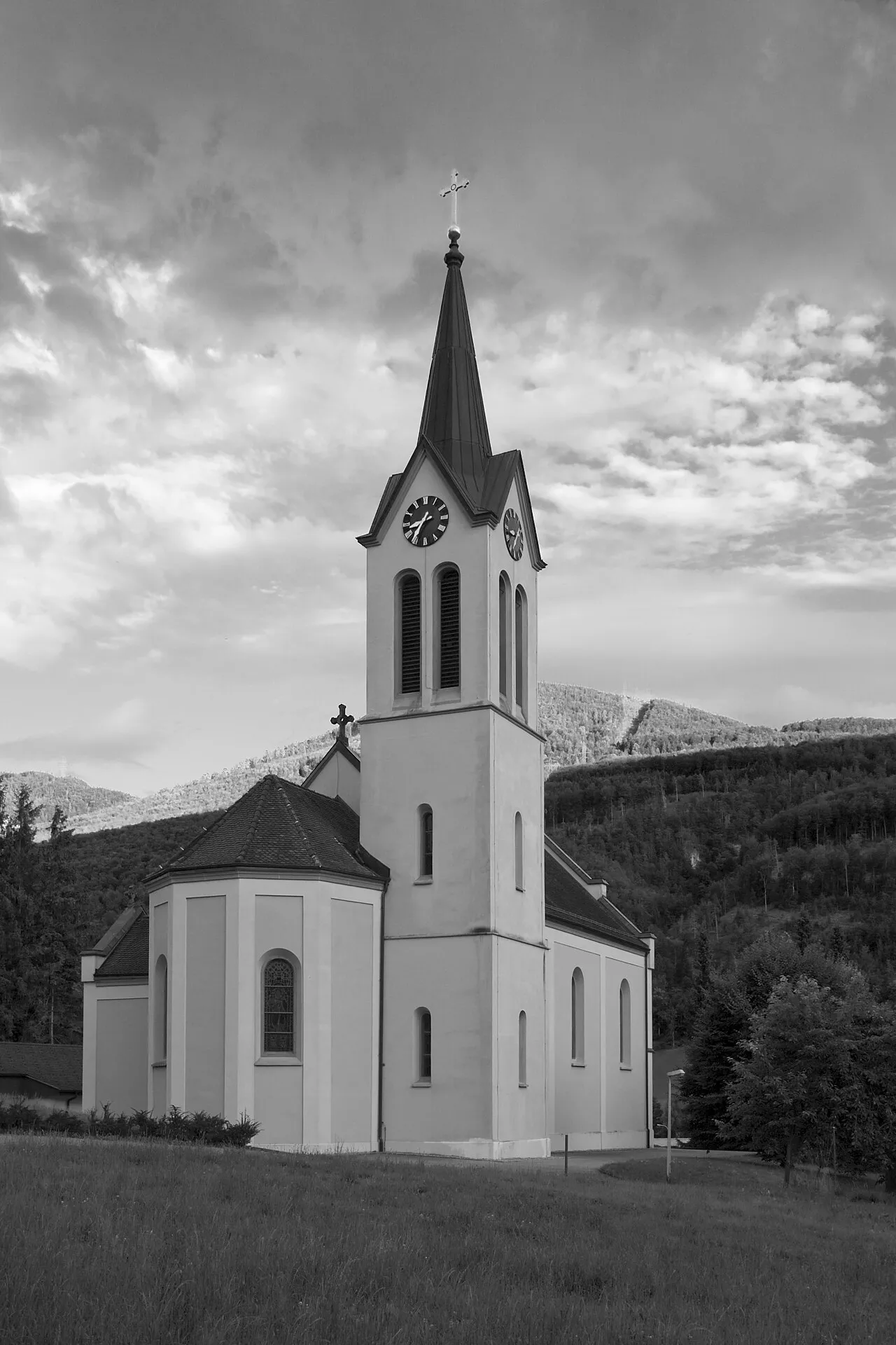
5,499 records
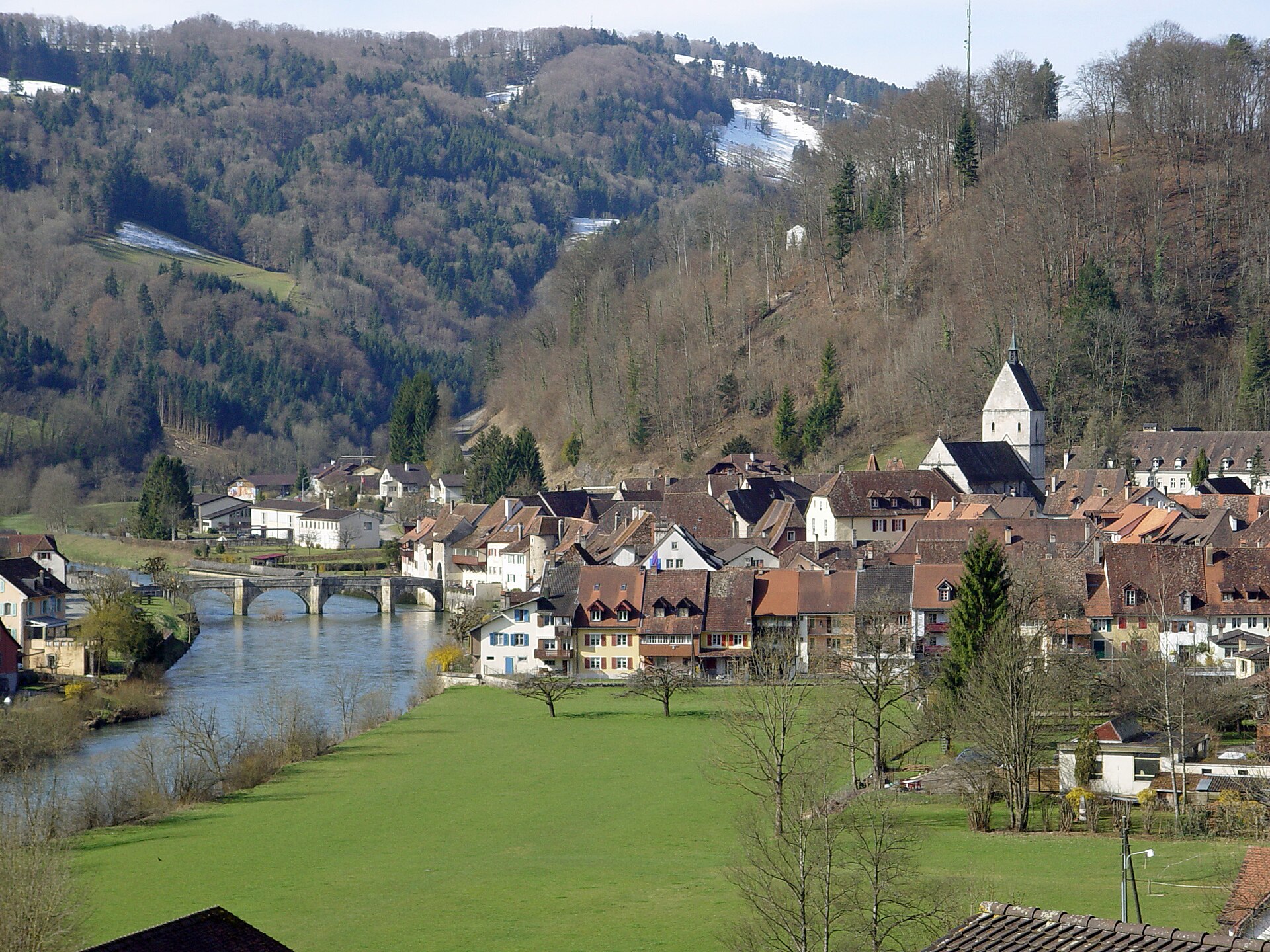
4,756 records
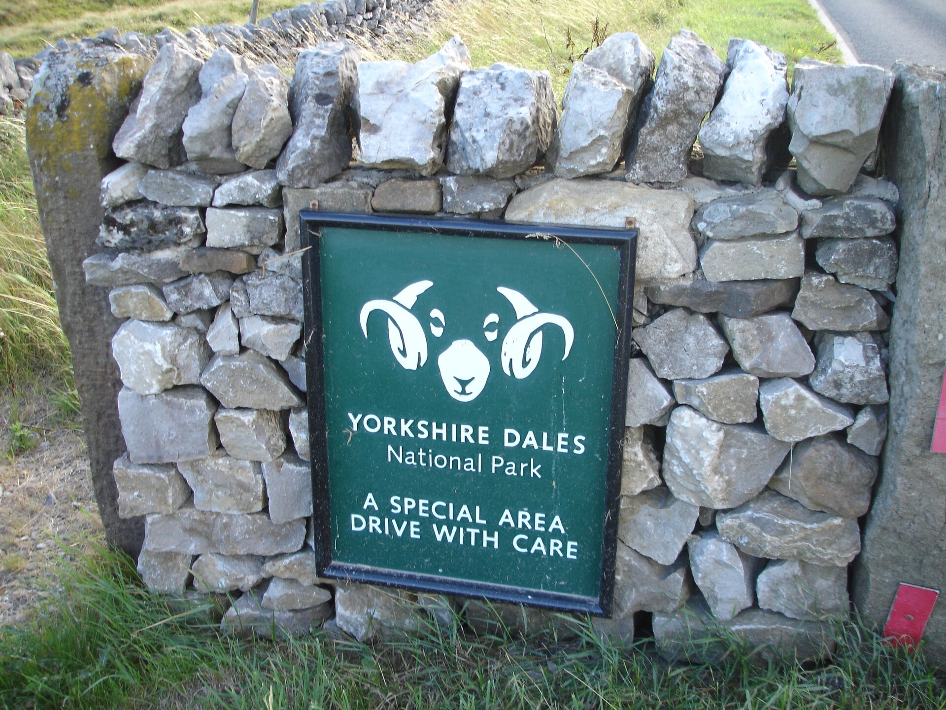
4,690 records
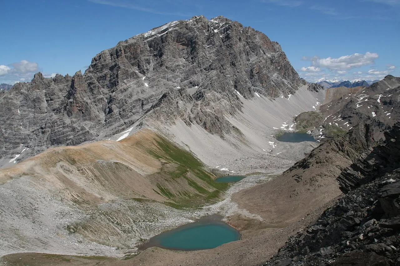
2,359 records

2,358 records
2,250 records
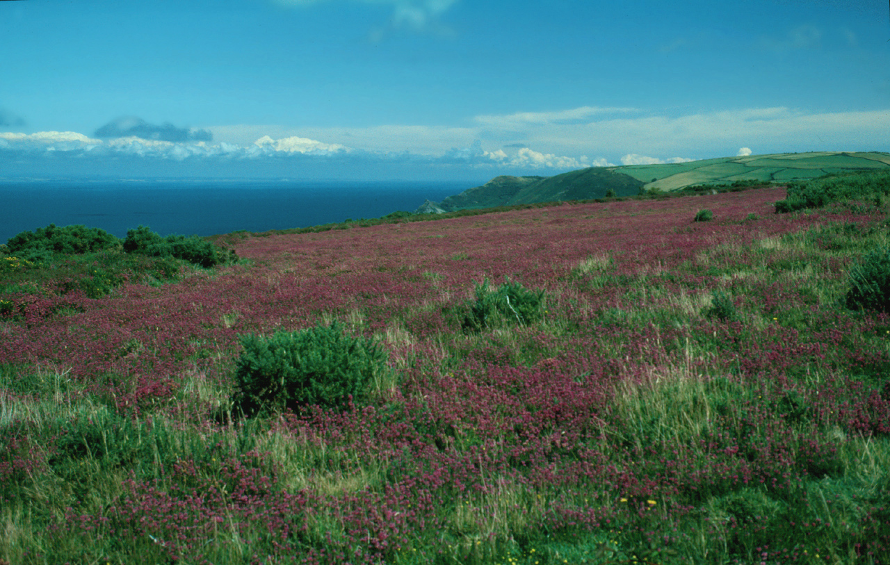
2,138 records
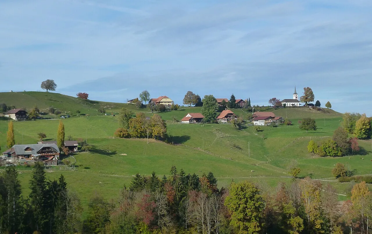
1,924 records

1,724 records
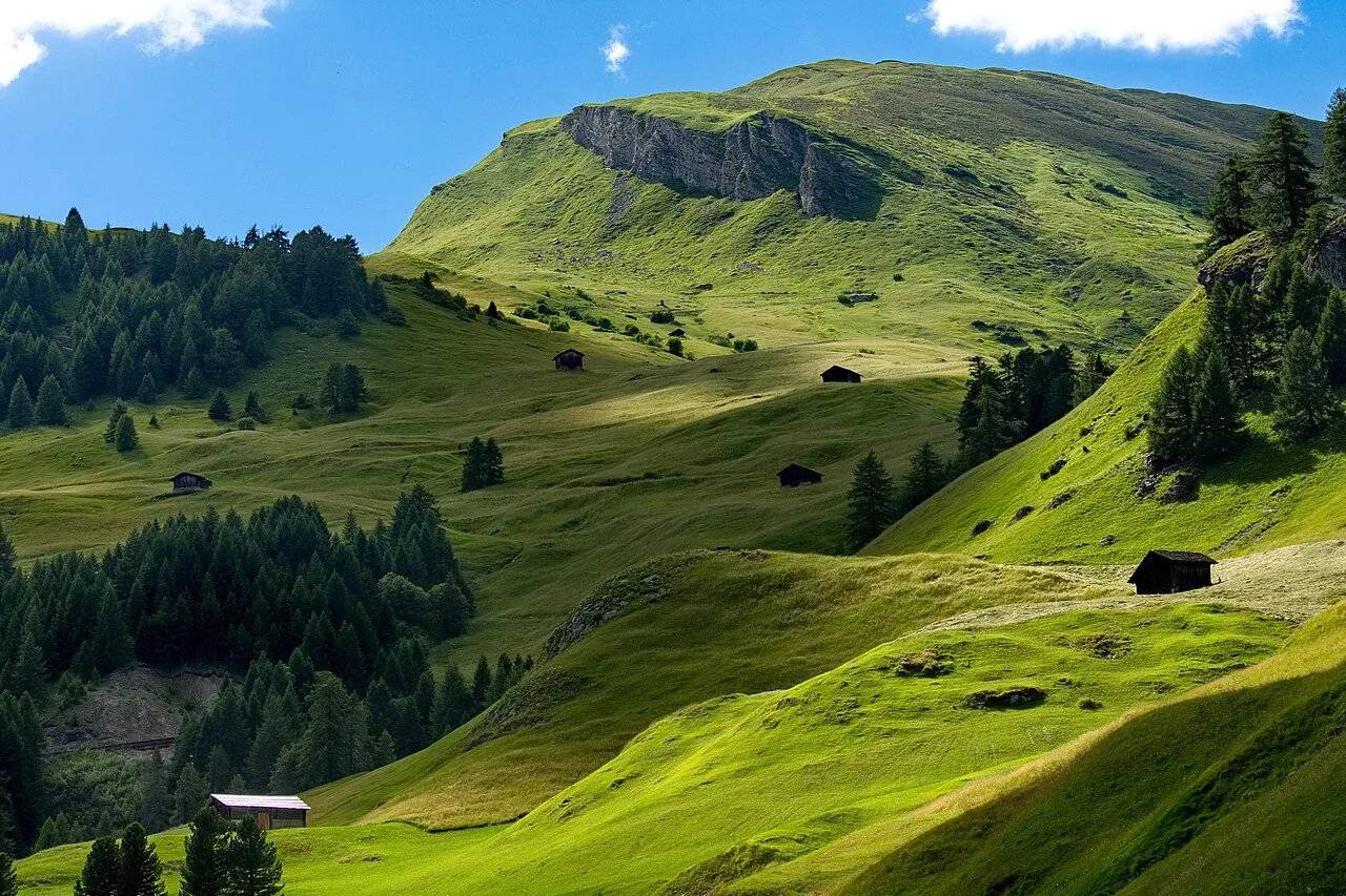
1,324 records
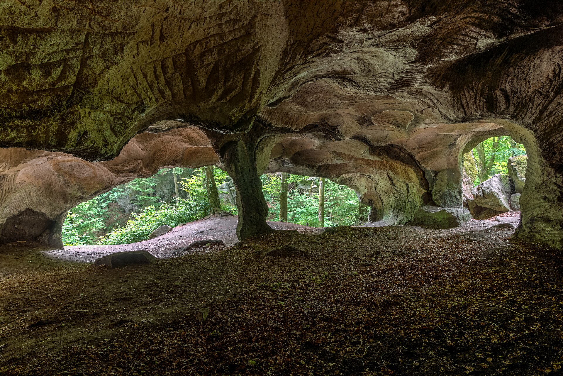
1,166 records
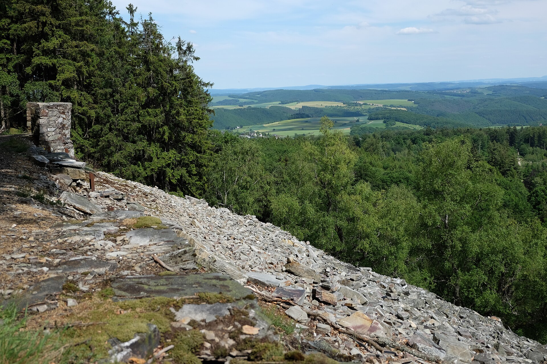
778 records
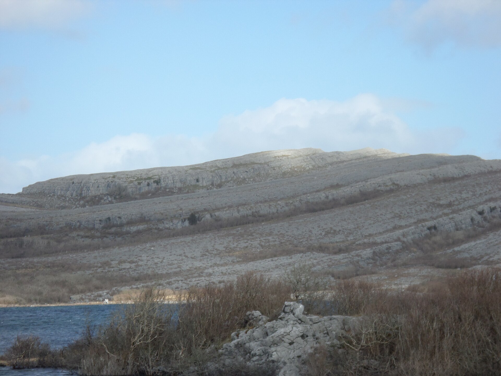
726 records
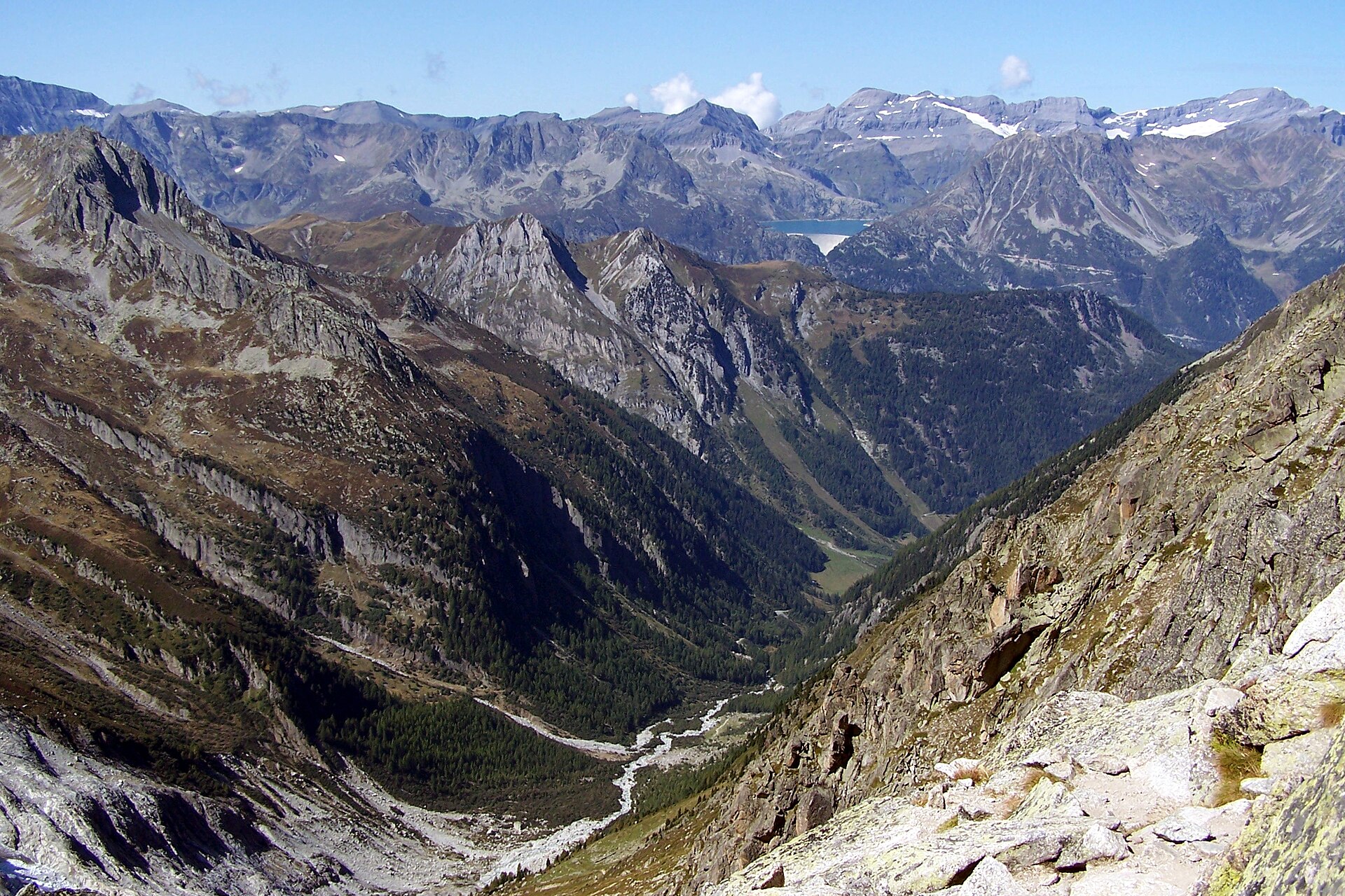
722 records
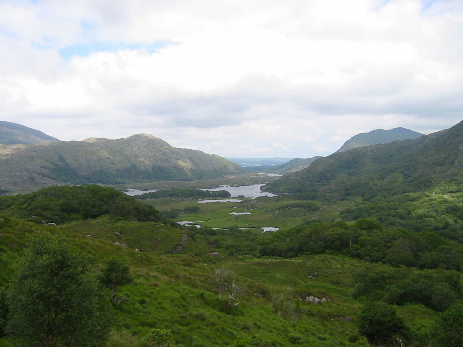
498 records
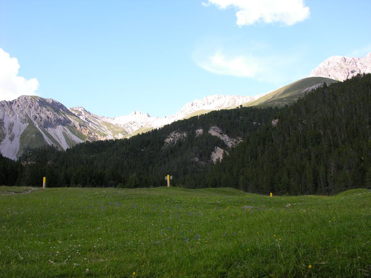
488 records
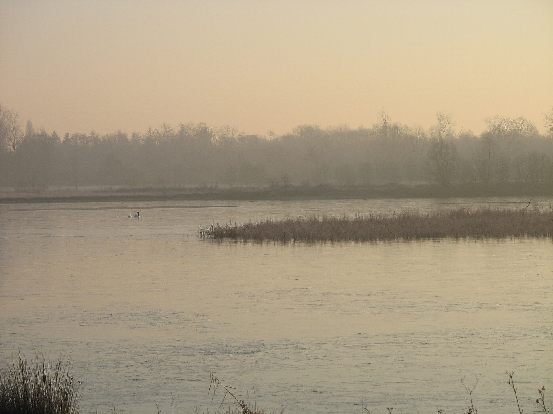
336 records

221 records
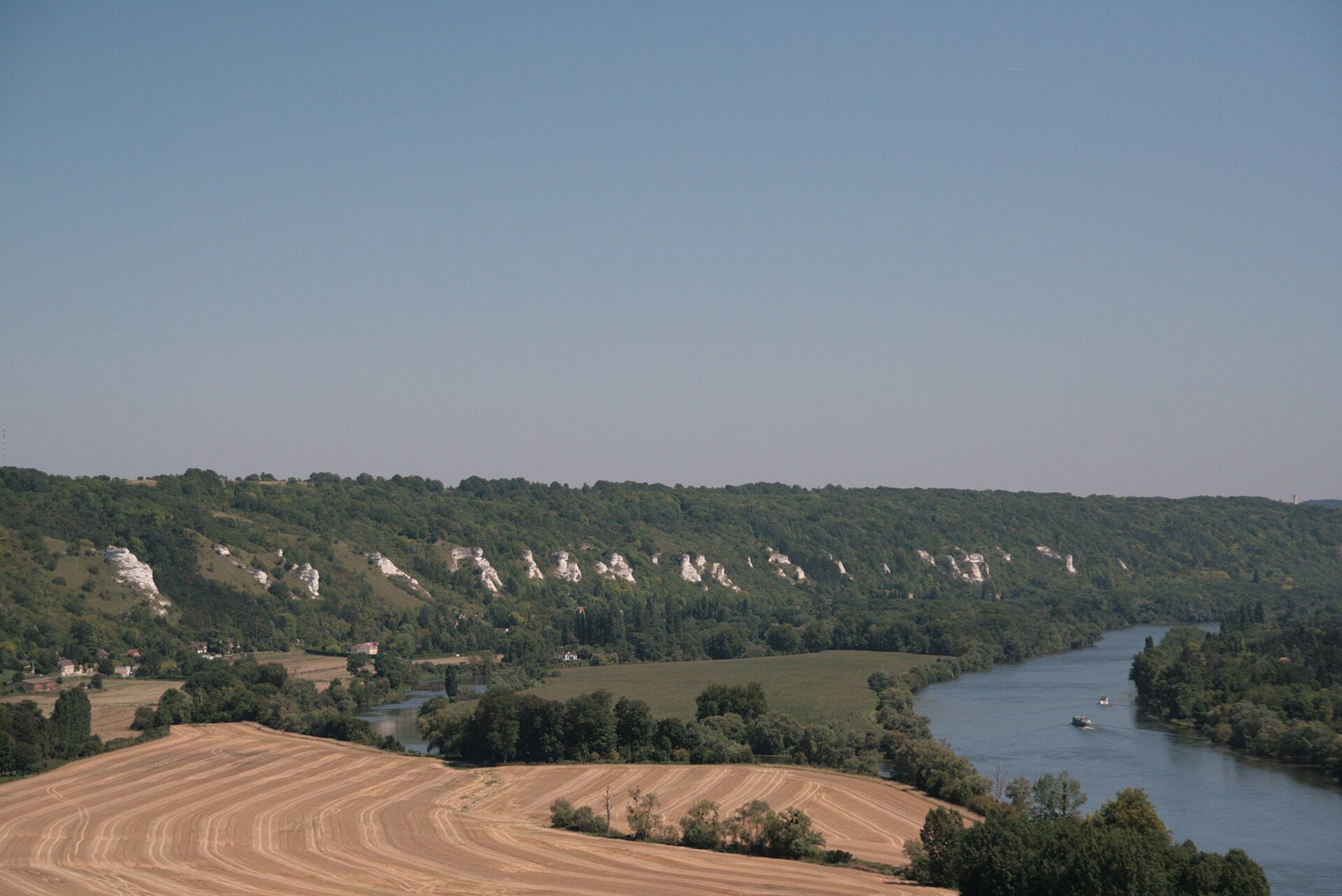
162 records
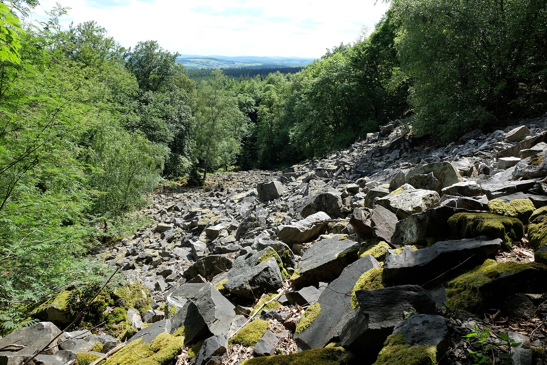
146 records
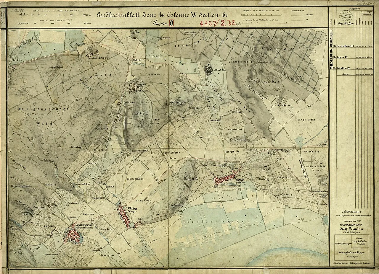
99 records
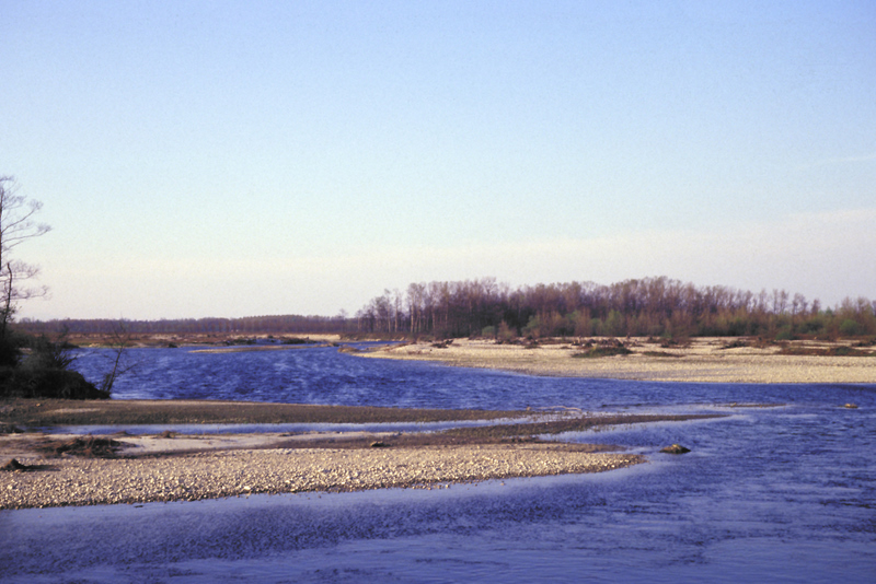
74 records
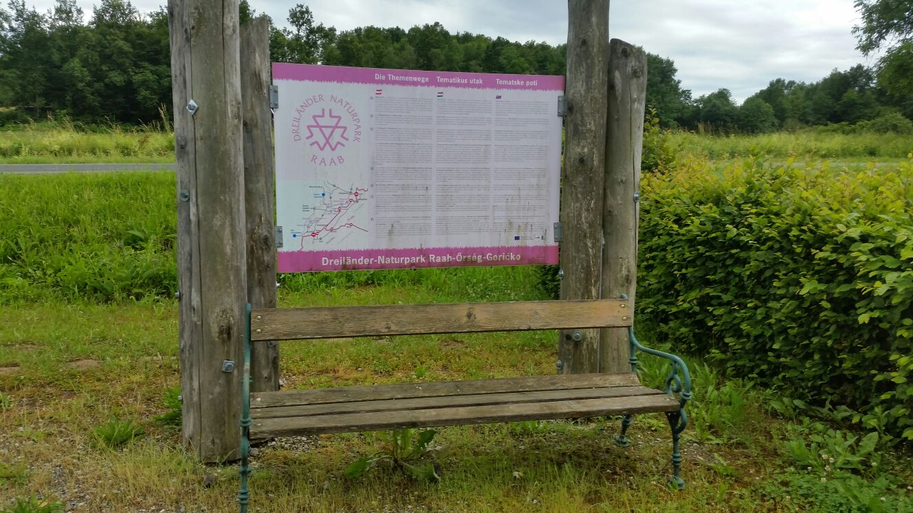
45 records
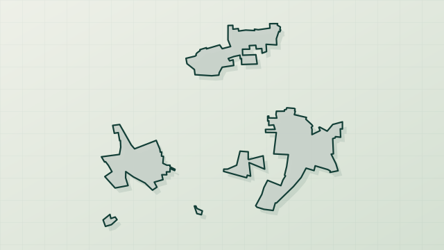
43 records
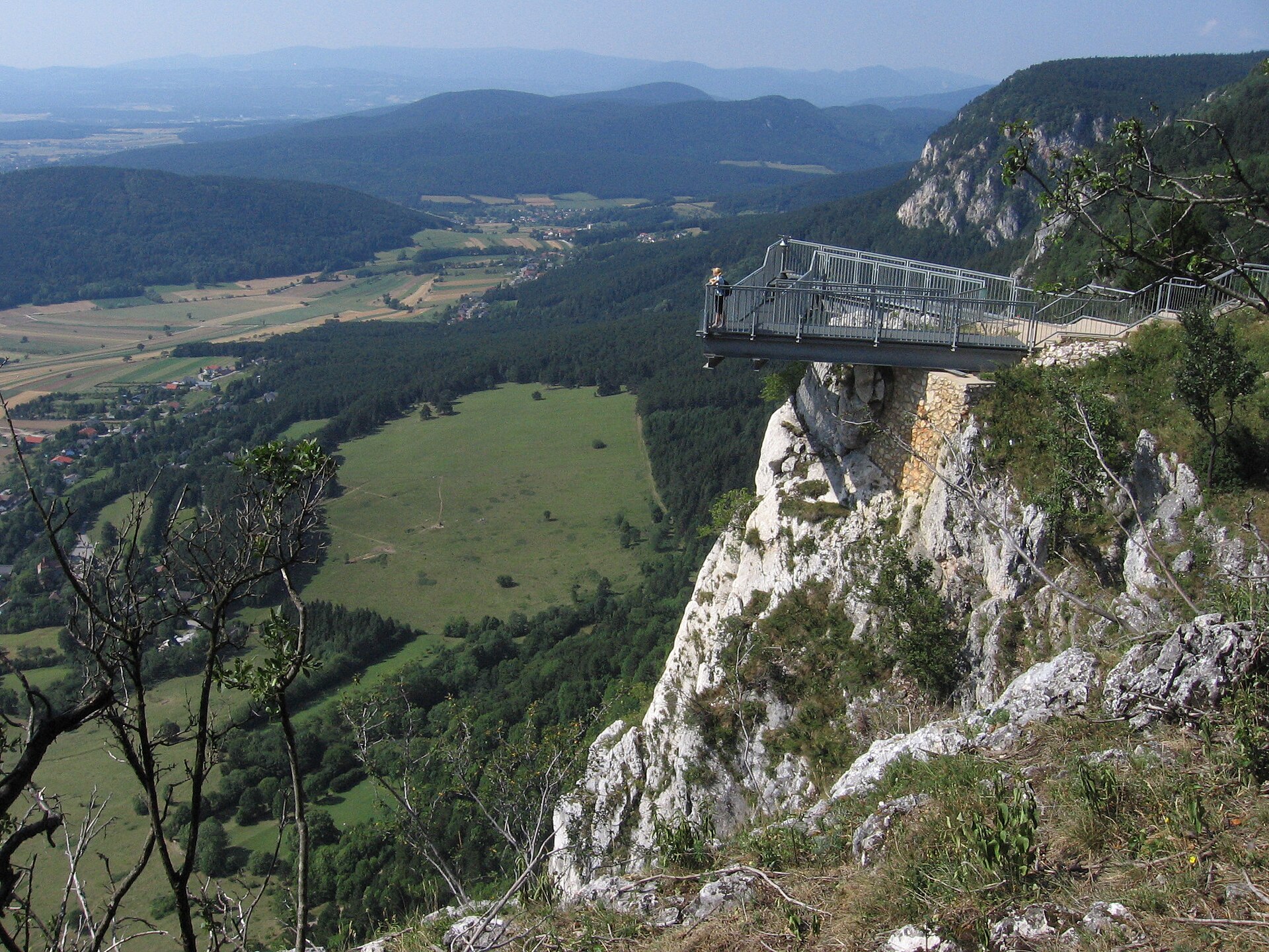
42 records

29 records
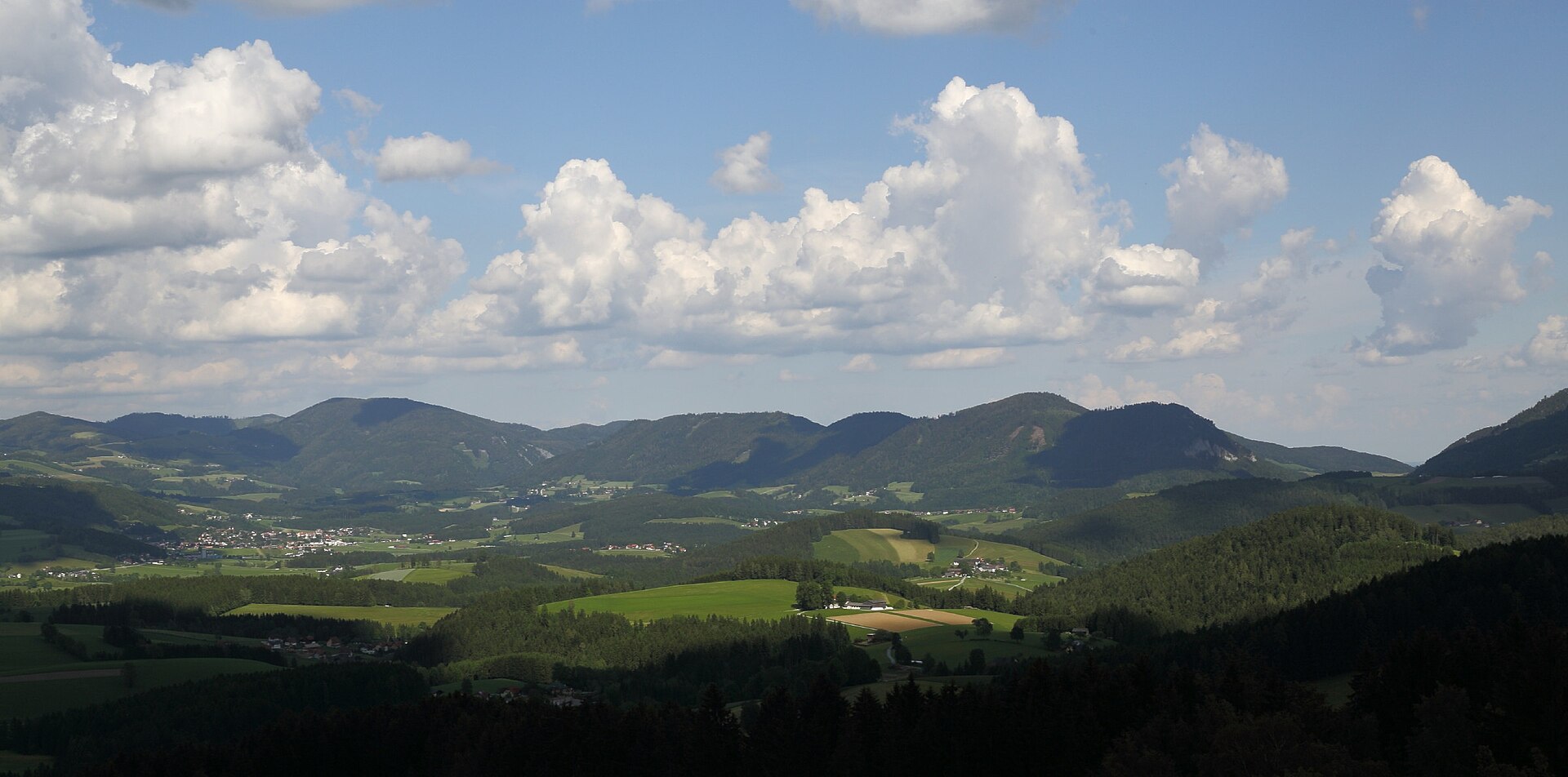
28 records
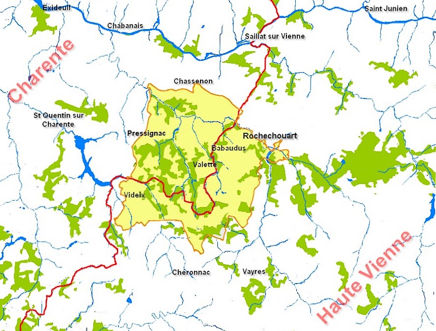
17 records
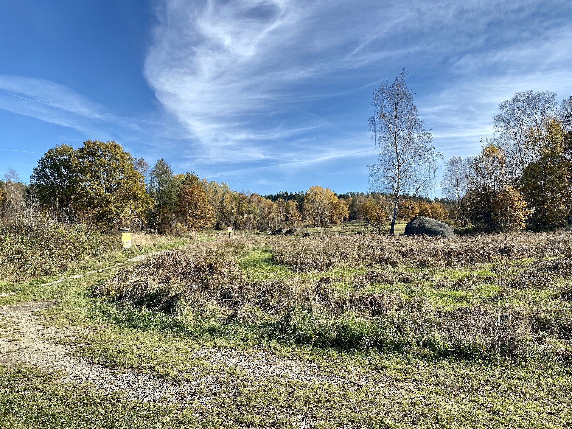
5 records
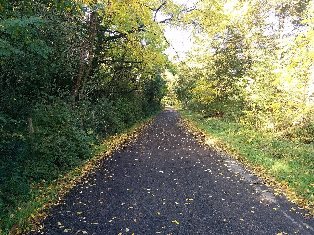
4 records
4 records

3 records
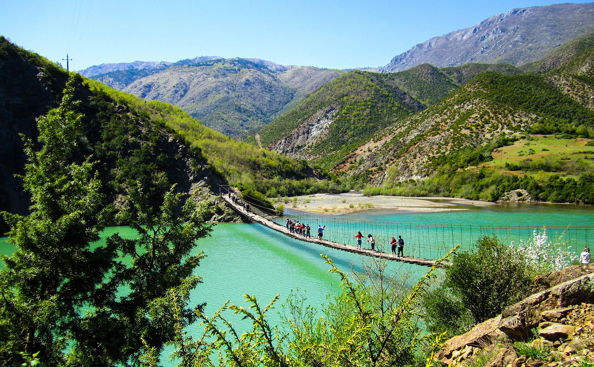
2 records

2 records
2 records
Other species to discover
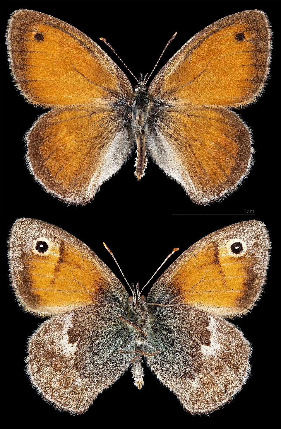 Small Heath
Coenonympha pamphilus 26 places in common
 Marbled white
Melanargia galathea 21 places in common
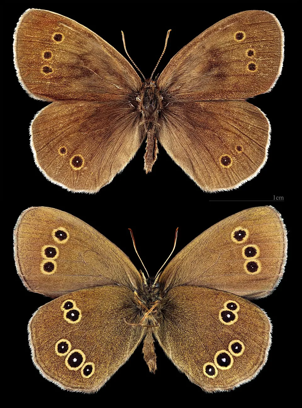 Ringlet
Aphantopus hyperantus 21 places in common
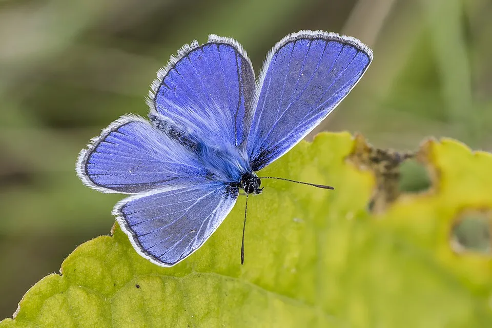 Common blue
Polyommatus icarus 22 places in common
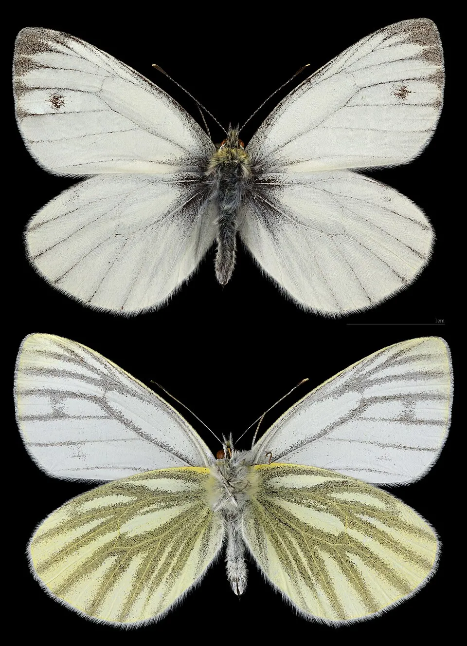 Green-veined white
Pieris napi 20 places in common
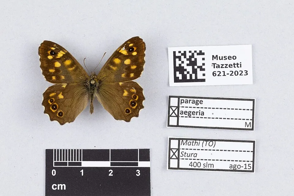 Speckled Wood
Pararge aegeria 17 places in common
Sources and credits
- Presence: most-recorded species of each place on GBIF and species of Community interest in the Natura 2000 forms (EEA, CC-BY 4.0); absence from the list does not mean the species is absent.
- Common names: Wikidata (CC0) and GBIF.
- Photos and sounds: Wikimedia Commons, author and licence given for each file.
- Classification: GBIF Backbone Taxonomy (GBIF Secretariat), CC BY 4.0, doi:10.15468/39omei.
- Countries, elevations, months and maps: GBIF.org, CC0 or CC BY 4.0 occurrences only, accessed October 22, 2026, GBIF.org.
- Base map: Natural Earth (public domain).
- Excerpt: Wikipedia, CC BY-SA 4.0 (full credit below the excerpt).