
Luxembourg · Terrestrial
Mëllerdall Nature Park
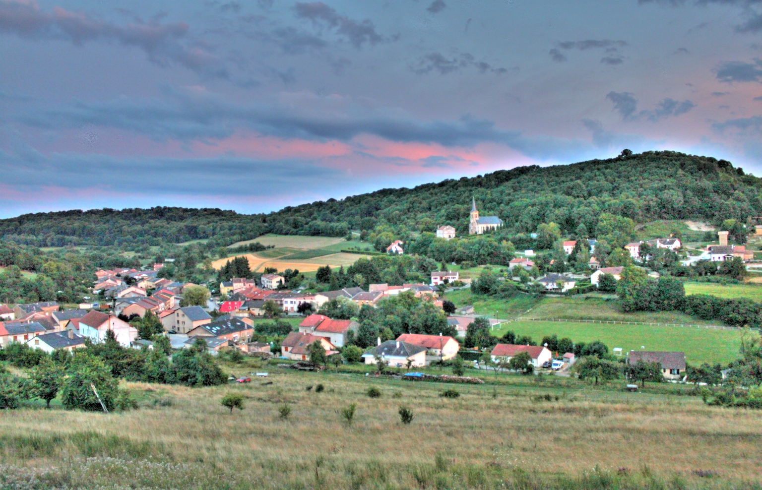
Nature park of 25,628 hectares in Luxembourg, established in 2016.
Overview
Nature park of 25,628 hectares in Luxembourg, established in 2016.
Mëllerdall Nature Park is located in Luxembourg (Europe). It is a predominantly terrestrial area. Established on 17 March 2016, it covers about 25,628 hectares.
Protections and designations
Natura 2000 · habitats (SAC) · 5 sites
- Herborn - Bois de Herborn / Echternach - Haard LU0001016
- Pelouses calcaires de la région de Junglinster LU0001020
- Vallée de l'Ernz blanche LU0001015
- Vallée de l'Ernz noire / Beaufort / Berdorf LU0001011
- Vallée de la Sûre inférieure LU0001017
Natura 2000 · birds (SPA) · 3 sites
- Région de Junglinster LU0002015
- Région de Mompach, Manternach, Bech et Osweiler LU0002016
- Vallée de l'Ernz Blanche de Bourglinster à Fischbach LU0002005
Protected as a nature park. International labels and designations: Natura 2000 network (8 sites). Key dates: first Natura 2000 site under the Birds Directive in 2004, first Natura 2000 site under the Habitats Directive in 2009 and established in 2016.
In our collections
Timeline
-
2004
First Natura 2000 site under the Birds Directive
-
2009
First Natura 2000 site under the Habitats Directive 5 such sites designated up to 2009
-
2016
Established
Sources: Wikidata (CC0) for establishment and international labels; EEA Natura 2000 database (CC-BY 4.0) for site designation dates.
Frequently asked questions
Where is Mëllerdall Nature Park?
In Luxembourg (Europe). Representative point: 49.7872° N, 6.3177° E.
How large is Mëllerdall Nature Park?
About 25,628 hectares (256 km²). It is the 2nd largest of the 3 nature parks in Luxembourg covered by Parkavela.
When was Mëllerdall Nature Park established?
On 17 March 2016.
What habitats and landscapes does Mëllerdall Nature Park include?
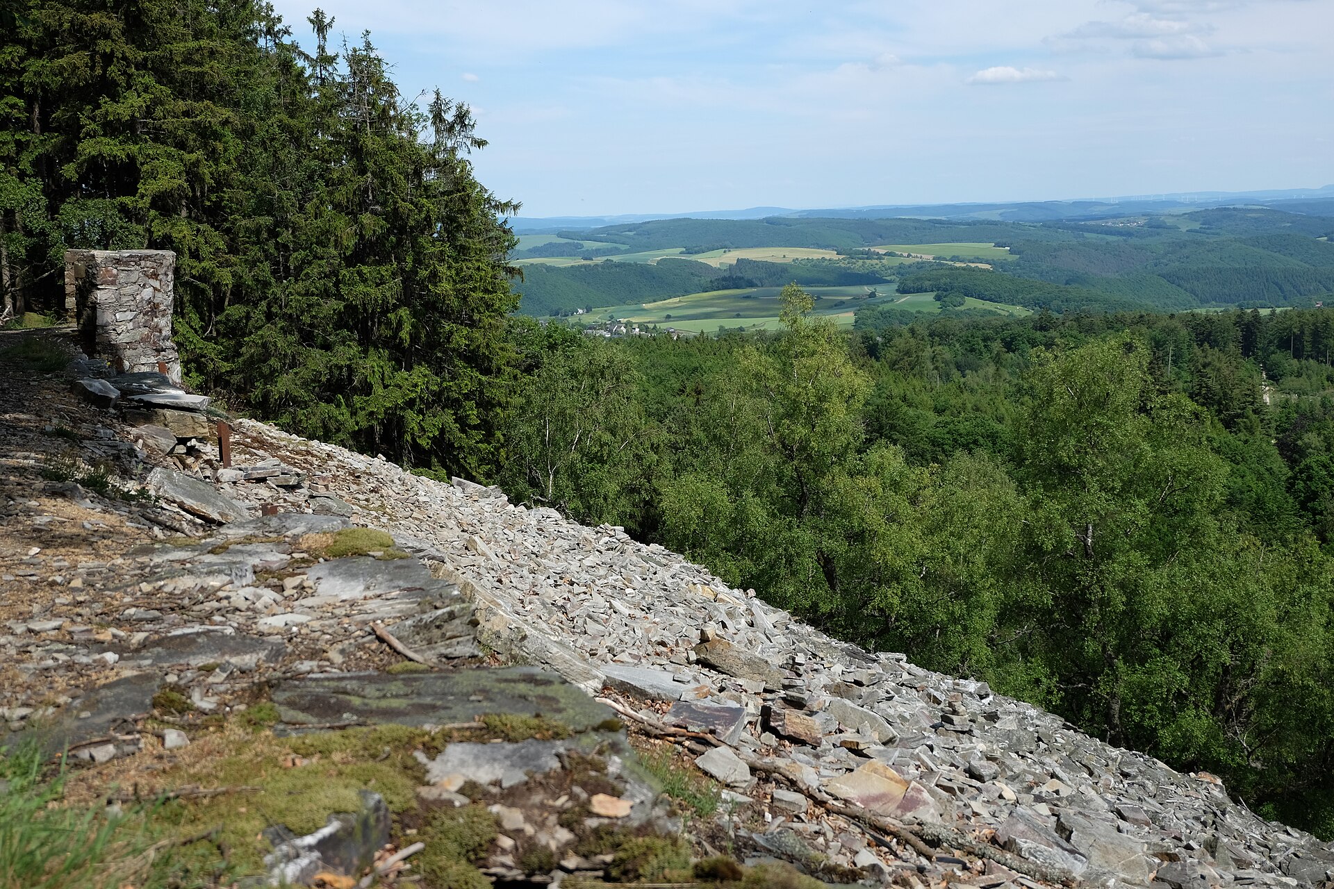
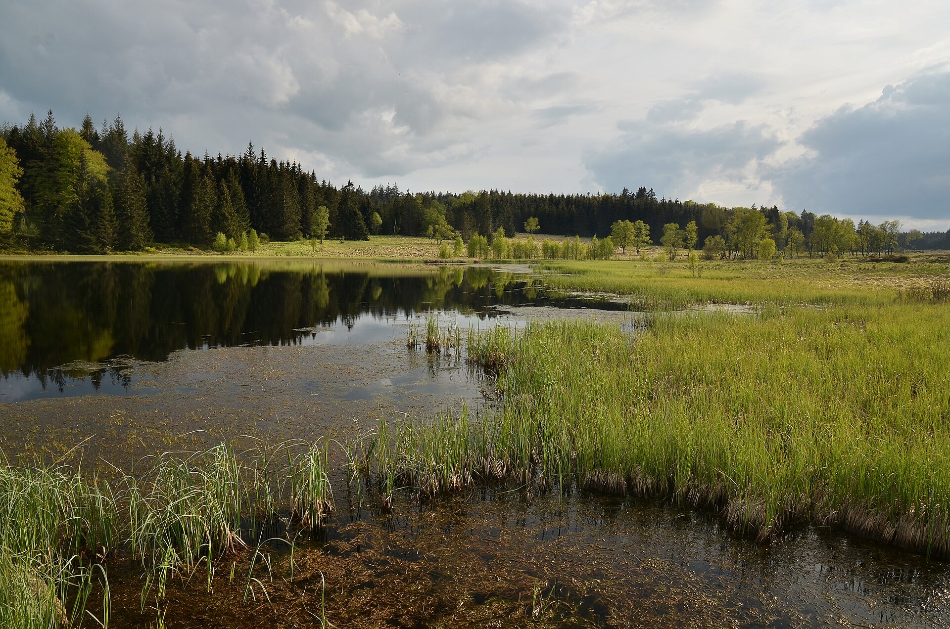
A terrestrial area, with forests.
What rocks lie beneath Mëllerdall Nature Park?
According to the European 1:1 million geological map (EGDI), the bedrock consists mainly of dolomites (44% of sampled points), sandstones (38%) and marly limestones (13%). These are mostly sedimentary rocks. The geological units date mainly from the Jurassic (50% of sampled points).
What is the highest point of Mëllerdall Nature Park?
Mont Saint-Jacques, at 359 m (Wikidata).
Which international labels apply to Mëllerdall Nature Park?
Natura 2000 network (8 sites).
When is the best time to visit Mëllerdall Nature Park?
Best time to visit: from May to October, with average temperatures of 10 to 19 °C and moderate rainfall.
What is there to see in Mëllerdall Nature Park?
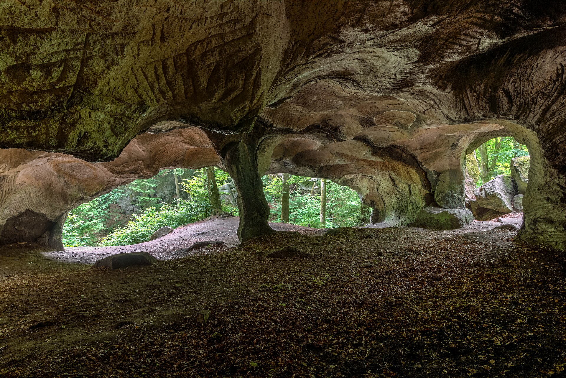
1 waterfall, 1 lake or pond and 2 caves, including Schéissendëmpel, Lac d'Echternach, Hohllay (312 m) and Raiberhiel (Wikidata).
Are there historic monuments in Mëllerdall Nature Park?
Yes. According to Wikidata, 10 monuments listed in the Luxembourg register of national monuments stand within the boundary. For example: “Chapelle de l'Assomption de la Bienheureuse-Vierge-Marie” in Rouspert-Mompech, “Beaufort Castle” in Beefort and “Naturschutzgebitt Eechelbuer-Lock” in Noumer.
Can you swim in Mëllerdall Nature Park?
3 monitored bathing sites lie in or within 1 km of the site; official 2025 classification: 2 excellent and 1 good (European Environment Agency). Swimming is only permitted at the sites and times authorised locally.
What is the nearest large city to Mëllerdall Nature Park?
Nearest towns of over 50,000 people, as the crow flies: Trier (9 km) and Luxembourg (12 km). Nearest airport: Luxembourg (LUX), about 10 km away.
How can I reach Mëllerdall Nature Park by train?
Cruchten railway station lies within the site.
Which species can be seen in Mëllerdall Nature Park?
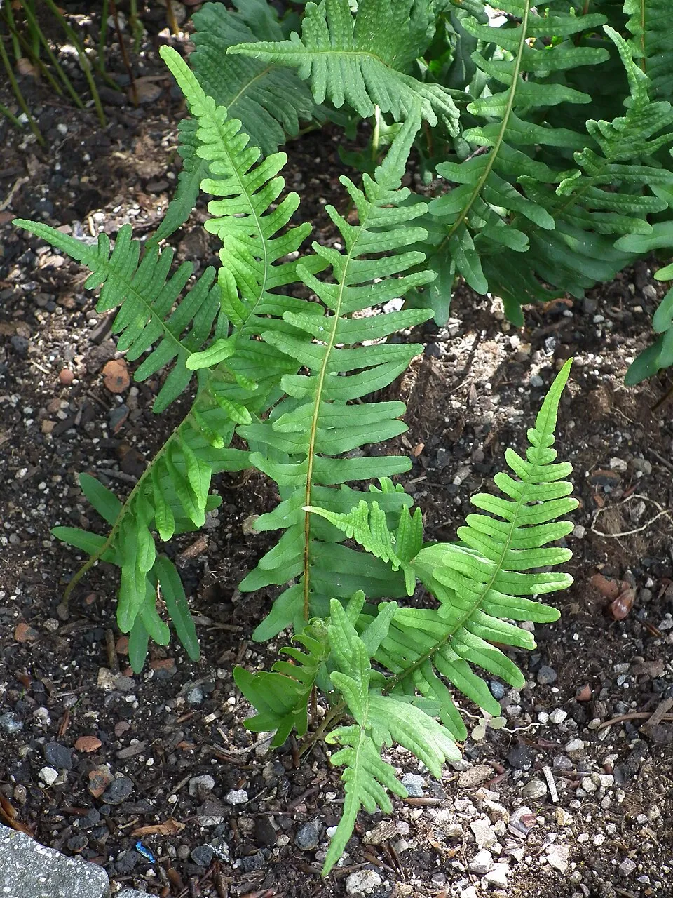
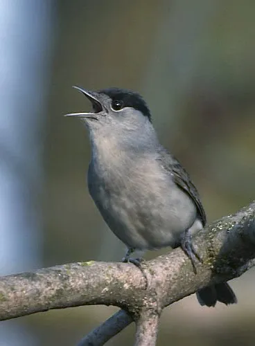
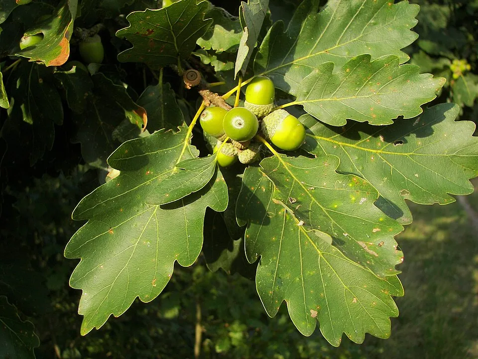
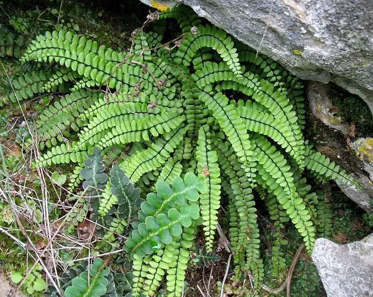
Among the species most often recorded on GBIF are Fagus sylvatica (European Beech), Polypodium vulgare (Common polypody), Sylvia atricapilla (Eurasian Blackcap) and Quercus petraea (Sessile Oak).
What is the official website of Mëllerdall Nature Park?
© OpenStreetMap
Download the boundary: GeoJSON · GPX Boundary © OpenStreetMap contributors (ODbL).
Geography
The representative point of the site lies at around 269 m above sea level. Over the 1996–2025 period, the mean annual temperature is about 9.8 °C and total precipitation reaches roughly 825 mm per year. The warmest month is usually July, the coolest January, and the wettest December. According to the European 1:1 million geological map (EGDI), the bedrock consists mainly of dolomites (44% of sampled points), sandstones (38%) and marly limestones (13%). These are mostly sedimentary rocks. The geological units date mainly from the Jurassic (50% of sampled points).
Area
- Area
- 25,628 ha
- Elevation
- 269 m
- Mean slope
- 6°
- Coordinates
- 49.7872, 6.3177
Terrain: Mapzen Terrain Tiles (SRTM, USGS)
Bedrock
- Dolomites 44 %
- Sandstones 38 %
- Marly limestones 13 %
- Unconsolidated deposits 6 %
Sedimentary rocks 100 % · Main age: Jurassic (50%)
Source: EGDI 1:1M geological map (EuroGeoSurveys and national geological surveys), CC BY 4.0 · 16 sampled points within the site.
Climate
● Mean temperature (°C) · ▮ Precipitation (mm)
Source: Copernicus ERA5-Land (C3S, doi:10.24381/cds.68d2bb30), monthly averages 1996–2025 interpolated to the representative point, temperatures adjusted for elevation.
Contains modified Copernicus Climate Change Service information 2026. Neither the European Commission nor ECMWF is responsible for any use that may be made of the Copernicus information or data it contains.
Natural habitats
According to CORINE Land Cover (2018), the site is mainly made up of forests (40%), farmland (32%) and grassland and meadows (23%). Woodland mixes broadleaved and coniferous trees. Elevation ranges from about 150 m to 359 m (highest point: Mont Saint-Jacques). The 8 Natura 2000 sites overlapping the area list 24 habitats of European interest (6 priority), the most extensive being Asperulo-Fagetum beech forests, Luzulo-Fagetum beech forests and lowland hay meadows (Alopecurus pratensis, Sanguisorba officinalis).
Biodiversity
Based on occurrences aggregated by GBIF, several species are regularly recorded within the site. Among the most frequent are Fagus sylvatica (European Beech), Polypodium vulgare (Common polypody), Sylvia atricapilla (Eurasian Blackcap) and Quercus petraea (Sessile Oak). The full list of documented taxa is shown below. The overlapping Natura 2000 sites list 76 species of European interest: 59 birds, 8 mammals, 1 amphibian, 2 fish, 3 invertebrates and 3 plants.
Habitats of European interest
From the official forms of the 8 Natura 2000 sites overlapping the area (areas reported for each whole site).
- Asperulo-Fagetum beech forests 3,149 ha
- Luzulo-Fagetum beech forests 698 ha
- Lowland hay meadows (Alopecurus pratensis, Sanguisorba officinalis) 269 ha
- Siliceous rocky slopes with chasmophytic vegetation 114 ha
- Sub-Atlantic and medio-European oak or oak-hornbeam forests of the Carpinion betuli 93 ha
- Alluvial forests with Alnus glutinosa and Fraxinus excelsior (Alno-Padion, Alnion incanae, Salicion albae) priority 86 ha
- Semi-natural dry grasslands and scrubland facies on calcareous substrates (Festuco-Brometalia) (* important orchid sites) 77 ha
- Tilio-Acerion forests of slopes, screes and ravines priority 24 ha
and 16 more
Species of European interest
Birds · 59
Eurasian Goshawk (Accipiter gentilis) resident, Marsh Warbler (Acrocephalus palustris) passage, Sedge warbler (Acrocephalus schoenobaenus) passage, Eurasian Reed Warbler (Acrocephalus scirpaceus) breeding passage, Eurasian Skylark (Alauda arvensis) breeding, Common Kingfisher (Alcedo atthis) resident breeding, Eurasian Teal (Anas crecca) passage, Meadow Pipit (Anthus pratensis) breeding, Tree Pipit (Anthus trivialis) breeding, Grey Heron (Ardea cinerea) passage, Short-eared Owl (Asio flammeus) wintering, Little Owl (Athene noctua) resident and 47 more
Mammals · 8
Barbastelle (Barbastella barbastellus), Eurasian Beaver (Castor fiber), Bechstein's bat (Myotis bechsteinii), Geoffroy's bat (Myotis emarginatus), Greater mouse-eared bat (Myotis myotis), Natterer's bat (Myotis nattereri), Common noctule (Nyctalus noctula), Greater Horseshoe Bat (Rhinolophus ferrumequinum)
Amphibians · 1
Invertebrates · 3
Jersey Tiger (Callimorpha quadripunctaria), Marsh fritillary (Euphydryas aurinia), Large copper (Lycaena dispar)
Plants · 3
Dicranum moss (Dicranum viride), Killarney Fern (Trichomanes speciosum), Killarney Fern (Vandenboschia speciosa)
Source: Natura 2000 standard data forms (EEA, CC-BY 4.0). Not exhaustive: sensitive species are not published.
Species to look out for

Observed species
Occurrences documented via GBIF; they are neither an exhaustive inventory nor proof of current presence.
- European Beech · Fagus sylvatica · 4410
- Common polypody · Polypodium vulgare · 3176
- Eurasian Blackcap · Sylvia atricapilla · 2970
- Sessile Oak · Quercus petraea · 2883
- European robin · Erithacus rubecula · 2850
- Maidenhair Spleenwort · Asplenium trichomanes · 2747
- Great tit · Parus major · 2402
- Pedunculate Oak · Quercus robur · 2290
- Eurasian Chaffinch · Fringilla coelebs · 2187
- Hornbeam · Carpinus betulus · 2159
- Sweet woodruff · Galium odoratum · 2020
- Eurasian blue tit · Cyanistes caeruleus · 1925
+18 more species
- Common Blackbird · Turdus merula · 1802
- Common Ivy · Hedera helix · 1535
- House Sparrow · Passer domesticus · 1499
- Wood melick · Melica uniflora · 1474
- Eurasian badger · Meles meles · 1391
- Common Chiffchaff · Phylloscopus collybita · 1375
- European ash · Fraxinus excelsior · 1333
- American milletgrass · Milium effusum · 1188
- Sycamore · Acer pseudoplatanus · 1169
- Wood-sorrel · Oxalis acetosella · 1168
- Meadow brown · Maniola jurtina · 1166
- Wood-sedge · Carex sylvatica · 1081
- Yellow Archangel · Lamium galeobdolon · 1062
- Small Heath · Coenonympha pamphilus · 1043
- False Oat-grass · Arrhenatherum elatius · 1027
- Blackberry · Rubus fruticosus · 1026
- Ribwort Plantain · Plantago lanceolata · 1019
- Wood Fescue · Festuca altissima · 1015
Records: GBIF.org (CC-BY). Names: Wikidata (CC0), GBIF. Photos: Wikimedia Commons.
Conservation challenges
The primary purpose of the site is to preserve its natural habitats and the biodiversity they support. The species recorded (Biodiversity tab) reflect its ecological value. The designations it holds frame its management and the control of land use.
According to Global Forest Change data (University of Maryland, Global Forest Watch), about 546 ha of tree cover were lost within the boundary between 2001 and 2023 (2% of its area), peaking in 2010 and 2023. These losses include logging, storms and fires, and do not account for regrowth. Apart from forest felling and regrowth (about 600 ha in total), land cover remained almost unchanged between 1990 and 2018 according to CORINE Land Cover; only some 110 ha were built over. At night, 9% of the area gives off artificial light detectable from space (NASA VIIRS Black Marble composite, 2016). Built-up and developed land (buildings, business areas, roads, quarries) covers 5% of the area, and farmland 32% (CORINE Land Cover). According to the Natura 2000 forms, of 24 assessed habitats of European interest, 14 are in excellent condition and the rest in good condition. According to the Water Framework Directive assessment (2022 river basin management plans, data 2015–2021), none of the 92 km of rivers assessed within the site reaches good ecological status; they mostly have bad ecological status. Since 2000, 16 invasive alien species have been recorded within the site (GBIF observations), 16 of them listed as of Union concern under EU Regulation 1143/2014. Among them: Impatiens glandulifera (Himalayan Balsam), Procyon lotor (Raccoon) and Alopochen aegyptiaca (Egyptian Goose).
Pressure indicators
Tree cover lost
546 ha
2001–2023 · 2% of the area
20012023
Fires since 2016
0
No large fire mapped (fires over about 30 ha)
Light at night
9%
of the area gives off artificial light visible from space
DarkLit
Built-up land
5%
buildings, business areas, roads, quarries · farmland 32%
Land cover change
< 0.5%
of the area changed, 1990–2018 · CORINE
forest felling and regrowth: 600 ha in total
Rivers and lakes
0%
of the 92 km of assessed rivers in good or high ecological status · WFD 2022
assessments 2015–2021
Invasive alien species
16
incl. 16 of EU concern · since 2000
 Himalayan BalsamEU
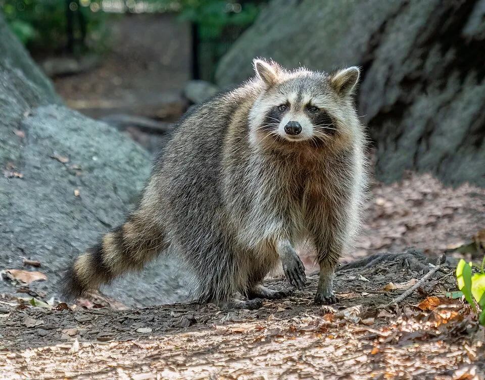 RaccoonEU
 Egyptian GooseEU
 Japanese KnotweedEU
 CoypuEU
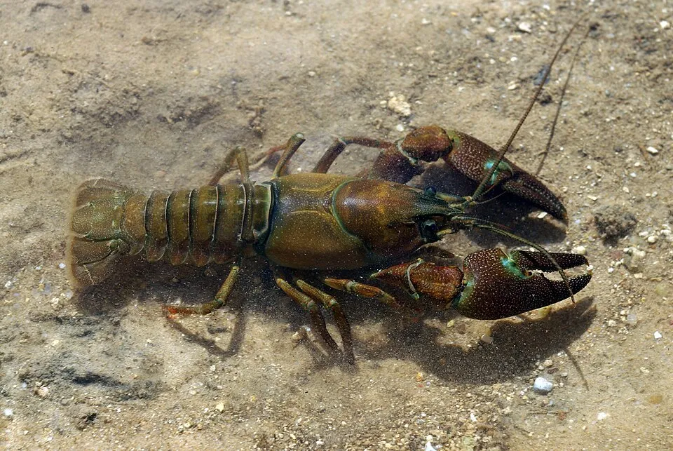 Signal crayfishEU
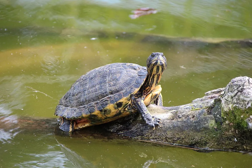 Pond sliderEU
 Giant HogweedEU
Photos: Himalayan Balsam © Guptaele · CC BY-SA 4.0; Raccoon © Rhododendrites · CC BY-SA 4.0; Egyptian Goose © Rhododendrites · CC BY-SA 4.0; Japanese Knotweed © W.carter · CC0-1.0; Coypu © Philippe Amelant · CC BY-SA 3.0; Signal crayfish © David Perez · CC BY 3.0; Pond slider © Viva.Chelonia · CC BY 2.0; Giant Hogweed © anastasiiamerkulova · CC BY 4.0
Sources: Global Forest Change (Hansen et al., University of Maryland, via Global Forest Watch, CC-BY 4.0); EFFIS, European Commission / Copernicus; NASA Black Marble 2016 (public domain); CORINE Land Cover 2018 (Copernicus) or MODIS.
CORINE Land Cover Change 1990–2018: generated using European Union's Copernicus Land Monitoring Service information (EEA), aggregated by Parkavela; DOI 10.2909/f30f1000-7cf8-43bb-872c-5eb093911b24.
Ecological status of water bodies: European Environment Agency, WISE – Water Framework Directive, 3rd river basin management plans (2022), CC BY 4.0. Official national classification, not comparable between countries.
Invasive alien species: Global Register of Introduced and Invasive Species (ISSG, CC BY 4.0); Union list, Regulation (EU) 1143/2014 (INBO, CC0); GBIF.org records (CC0 / CC BY 4.0), at least 2 per species.
Practical information
Cities and airport
- Trier
9 km as the crow flies - Luxembourg
12 km as the crow flies - Airport: Luxembourg (LUX)
10 km as the crow flies
Things to see
1 waterfall · 1 lake or pond · 2 caves
- Schéissendëmpel
waterfall - Lac d'Echternach
lake or pond - Hohllay
cave · 312 m - Raiberhiel
cave
By bike
SLL VeloRoute SaarLorLux · 30 kmPC 3 Piste cyclable des trois rivières · 21 kmPC 2 Piste cyclable d'Echternach (PC 2) · 19 kmPC 5 Piste cyclable de l'Ernz blanche (PC 5) · 8 km
+ 30 local loops
Signed cycle routes: this does not mean that cycling is allowed on footpaths.
Data: Wikidata (CC0), pending OpenStreetMap data
Routes © OpenStreetMap contributors (ODbL), via Waymarked Trails
Bathing
3 monitored bathing sites in or within 1 km of the site · 2025 classification
Excellent · 2
Good · 1
- Lac d'Echternach - Auberge de Jeunesse · lake · Excellent
- Lac d'Echternach - Ponton Grande Île · lake · Excellent
- Lac d'Echternach - L' Île des Pêcheurs · lake · Good
Source: European Environment Agency, official bathing water classification (Directive 2006/7/EC, CC-BY 4.0). Swimming is only permitted at the sites and times authorised locally.
Access and visiting
Cruchten railway station lies within the site. Nearest towns of over 50,000 people, as the crow flies: Trier (9 km) and Luxembourg (12 km). Nearest airport: Luxembourg (LUX), about 10 km away. About 660,000 people live within 20 km of the site boundary, 270,000 of them within 10 km; some 25,000 people are estimated to live inside (GHSL estimate, 2020). This population has grown by about 32% since 2000. The site is crossed by 8 signed cycle routes, including “SLL VeloRoute SaarLorLux” and “PC 3 Piste cyclable des trois rivières” (OpenStreetMap). To see: 1 waterfall, 1 lake or pond and 2 caves, including Schéissendëmpel, Lac d'Echternach, Hohllay (312 m) and Raiberhiel. To plan a visit (access, opening periods, visitor rules), it is best to consult the official information from the managing body and the official website listed in this page's sources.
Source: Wikidata (CC0), October 2026.
Built heritage
According to Wikidata, 10 monuments listed in the Luxembourg register of national monuments stand within the boundary. Among them are 6 castles and fortifications, 1 religious building and 1 house or civic building. Examples include “Chapelle de l'Assomption de la Bienheureuse-Vierge-Marie” in Rouspert-Mompech, “Beaufort Castle” in Beefort and “Naturschutzgebitt Eechelbuer-Lock” in Noumer.
6 castles and fortifications1 religious building1 house or civic building
-
Chapelle de l'Assomption de la Bienheureuse-Vierge-Marie
Rouspert-Mompech -
Beaufort Castle
Beefort · 12th c. -
Naturschutzgebitt Eechelbuer-Lock
Noumer -
Remarkable oak in Hersberg-Altrier
Bech -
Castle Beaufort
Beefort · 17th c. -
Véiergëtterstee vu Bäerdref
Bäerdref -
Fischbach Castle
Fëschbech -
Schlass Kéideng
Fëschbech · 19th c.
and 2 more
Source: Wikidata (CC0), monuments in each country’s official heritage protection registers, at national or regional level. Each item links to its Wikidata entry.
When to visit
Best time to visit: from May to October, with average temperatures of 10 to 19 °C and moderate rainfall. Day length ranges from about 8 h 08 min in December to 16 h 18 min in June. Wildlife records published on GBIF peak for birds (April and May), plants (May), butterflies and moths (from June to August), dragonflies (May) and mammals (July). These peaks also reflect when observers are most active.
Source: Copernicus ERA5-Land (C3S), monthly averages 1996–2025 at the representative point, temperatures adjusted for elevation.
Contains modified Copernicus Climate Change Service information 2026. Neither the European Commission nor ECMWF is responsible for any use that may be made of the Copernicus information or data it contains.
Wildlife records calendar
JFMAMJJASOND
Birds
Plants
Butterflies & moths
Dragonflies
Mammals
Monthly records published on GBIF (CC-BY), relative to the busiest month; also reflects observer activity.
Gallery
© Dietmar Rabich · CC BY-SA 4.0
© VT98Fan · CC BY-SA 3.0
© Dietmar Rabich · CC BY-SA 4.0
© GilPe · CC BY-SA 4.0
© Cayambe · CC BY-SA 3.0
© Dietmar Rabich · CC BY-SA 4.0
Sources and licences
- Wikidata: Q25583809
- Official website: http://www.naturpark-mellerdall.lu/
- Wikipedia: fr.wikipedia.org/wiki/Parc_naturel_Mëllerdall
- WDPA: 555634213
References
- data.public.lu: official area · CC0-1.0
- cds.climate.copernicus.eu: climate · CC-BY-4.0
- registry.opendata.aws: elevation of the reference point, detailed relief · PD
- land.copernicus.eu: land cover, land cover change, sea share · COPERNICUS
- doi.org: population around the site · CC-BY-4.0
- eea.europa.eu: bathing water quality, ecological status of waters · CC-BY-4.0
- en.eurovelo.com: EuroVelo cycle routes · ODbL-1.0
- cycling.waymarkedtrails.org: cycle routes · ODbL-1.0
- opentopodata.org: elevations · PD
- wikidata.org: establishment date, protected heritage, official name, nearby cities and airport, access and peaks, lake depths, places to see, official website · CC0-1.0
- forest-fire.emergency.copernicus.eu: wildfires · COPERNICUS
- globalforestwatch.org: tree cover loss · CC-BY-4.0
- gbif.org: seasonality of sightings, invasive alien species, observed species · CC-BY-4.0
- europe-geology.eu: geology · CC-BY-4.0
- hydrosheds.org: lakes · CC-BY-4.0
- natura2000.eea.europa.eu: Natura 2000 habitats and species · CC-BY-4.0
- earthobservatory.nasa.gov: night light · PD
- nsidc.org: snow cover · PD
- wikidata.org: Wikipedia article · CC-BY-SA-4.0
Data © OpenStreetMap contributors (ODbL), Wikidata (CC0) and the sources cited.