Luxembourg · Terrestrial
Our Nature Park
Nature park of 42,026 hectares in Luxembourg, established in 2005.
Overview
Nature park of 42,026 hectares in Luxembourg, established in 2005.
Our Nature Park is located in Luxembourg (Europe). It is a predominantly terrestrial area. Established on 9 June 2005, it covers about 42,026 hectares.
Protections and designations
Natura 2000 · habitats (SAC) · 10 sites
- Hoffelt - Kaleburn LU0001042
- Schimpach - Carrières de Schimpach LU0001035
- Troine/Hoffelt - Sporbaach LU0001043
- Troisvierges - Cornelysmillen LU0001038
- Vallée de l'Our de Ouren a Wallendorf Pont LU0001002
- Vallée de la Tretterbaach LU0001003
- and 4 more
Natura 2000 · birds (SPA) · 4 sites
Protected as a nature park. International labels and designations: Natura 2000 network (14 sites). Key dates: first Natura 2000 site under the Birds Directive in 2004, established in 2005 and first Natura 2000 site under the Habitats Directive in 2009.
In our collections
Timeline
-
2004
First Natura 2000 site under the Birds Directive 3 such sites designated up to 2004
-
2005
Established
-
2009
First Natura 2000 site under the Habitats Directive 10 such sites designated up to 2009
Sources: Wikidata (CC0) for establishment and international labels; EEA Natura 2000 database (CC-BY 4.0) for site designation dates.
Frequently asked questions
Where is Our Nature Park?
In Luxembourg (Europe). Representative point: 50.0268° N, 6.0272° E.
How large is Our Nature Park?
About 42,026 hectares (420 km²). It is the largest of the 3 nature parks in Luxembourg covered by Parkavela.
When was Our Nature Park established?
On 9 June 2005.
What habitats and landscapes does Our Nature Park include?
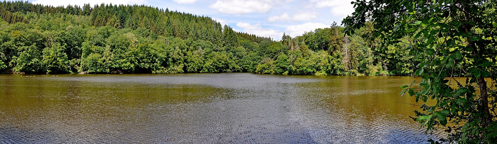
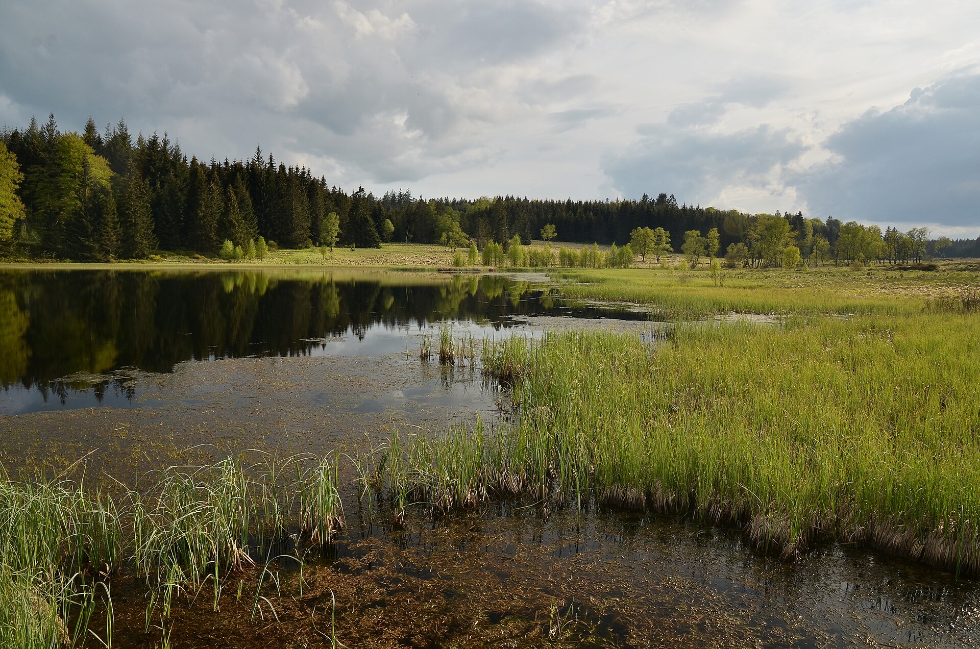
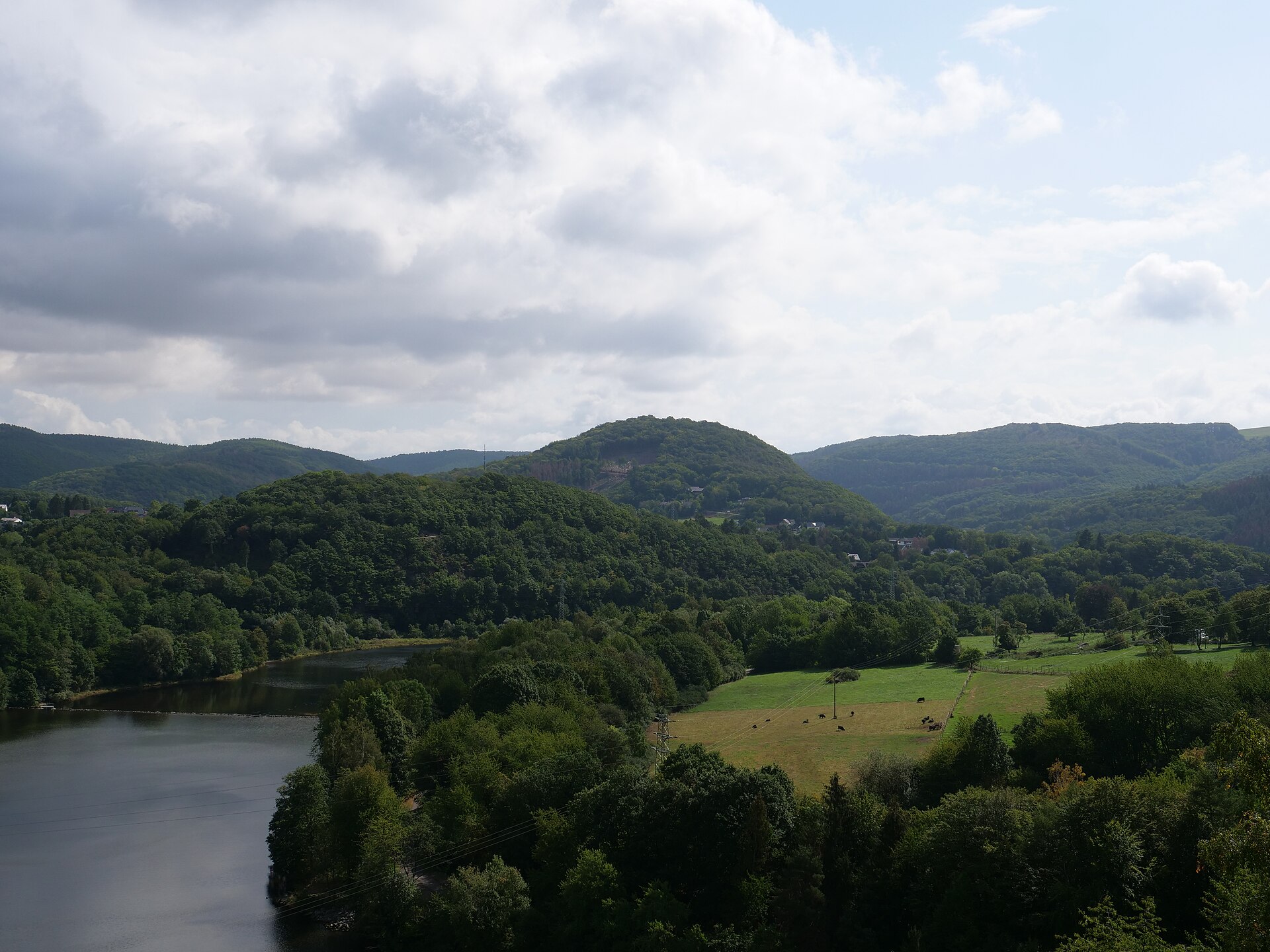
A terrestrial area, with forests.
What rocks lie beneath Our Nature Park?
According to the European 1:1 million geological map (EGDI), the bedrock consists mainly of schists (93% of sampled points). These are mostly metamorphic rocks. The geological units date mainly from the Devonian (93% of sampled points).
Which international labels apply to Our Nature Park?
Natura 2000 network (14 sites).
When is the best time to visit Our Nature Park?
Best time to visit: from May to September, with average temperatures of 12 to 18 °C and moderate rainfall.
Are there historic monuments in Our Nature Park?
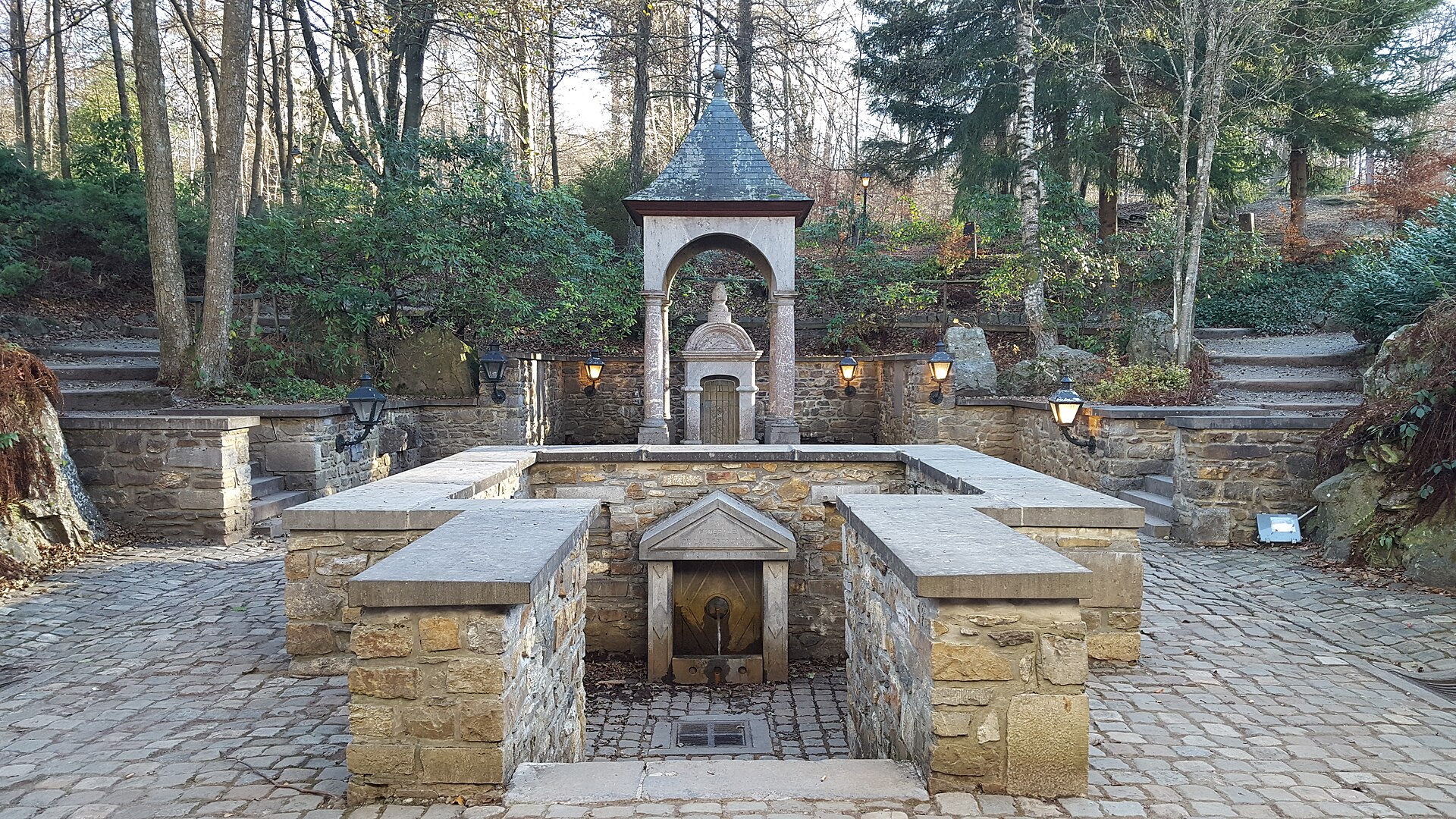
Yes. According to Wikidata, 6 monuments listed in the Luxembourg register of national monuments stand within the boundary. For example: “Brandenbourg Castle” in Tandel, “Villa Berlaymont” in Clierf and “Stolzembourg Castle” in Pëtschent.
Can you swim in Our Nature Park?
2 monitored bathing sites lie in or within 1 km of the site; official 2025 classification: 2 excellent (European Environment Agency). Swimming is only permitted at the sites and times authorised locally.
What is the nearest large city to Our Nature Park?
Nearest towns of over 50,000 people, as the crow flies: Luxembourg (29 km) and Trier (33 km). Nearest airport: Luxembourg (LUX), about 28 km away.
How can I reach Our Nature Park by train?
Merkholtz railway station lies within the site.
Which species can be seen in Our Nature Park?
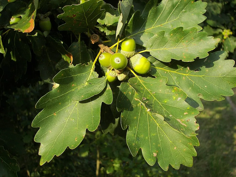
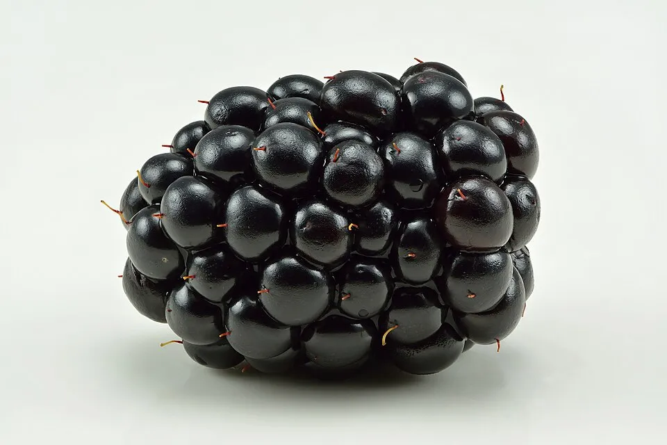
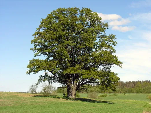
Among the species most often recorded on GBIF are Quercus petraea (Sessile Oak), Fagus sylvatica (European Beech), Carpinus betulus (Hornbeam) and Rubus fruticosus (Blackberry).
What is the official website of Our Nature Park?
© OpenStreetMap
Download the boundary: GeoJSON · GPX Boundary © OpenStreetMap contributors (ODbL).
Geography
The representative point of the site lies at around 394 m above sea level. Over the 1996–2025 period, the mean annual temperature is about 9.1 °C and total precipitation reaches roughly 959 mm per year. The warmest month is usually August, the coolest January, and the wettest December. According to the European 1:1 million geological map (EGDI), the bedrock consists mainly of schists (93% of sampled points). These are mostly metamorphic rocks. The geological units date mainly from the Devonian (93% of sampled points). The site contains 2 lakes larger than 10 ha, totalling 43 ha of water (HydroLAKES).
Area
- Area
- 42,026 ha
- Elevation
- 394 m
- Median elevation
- 456 m
- Mean slope
- 6°
- Lakes over 10 ha
- 2 (43 ha)
- Coordinates
- 50.0268, 6.0272
Terrain: Mapzen Terrain Tiles (SRTM, USGS) · Lakes: HydroLAKES (Messager et al. 2016, hydrosheds.org, CC BY 4.0) · depths: Wikidata (CC0)
Bedrock
- Schists 93 %
- Dolomites 7 %
Metamorphic rocks 93 % · Sedimentary rocks 7 % · Main age: Devonian (93%)
Source: EGDI 1:1M geological map (EuroGeoSurveys and national geological surveys), CC BY 4.0 · 14 sampled points within the site.
Climate
● Mean temperature (°C) · ▮ Precipitation (mm)
Source: Copernicus ERA5-Land (C3S, doi:10.24381/cds.68d2bb30), monthly averages 1996–2025 interpolated to the representative point, temperatures adjusted for elevation.
Contains modified Copernicus Climate Change Service information 2026. Neither the European Commission nor ECMWF is responsible for any use that may be made of the Copernicus information or data it contains.
Natural habitats
According to CORINE Land Cover (2018), the site is mainly made up of farmland (43%), forests (40%) and grassland and meadows (13%). Woodland mixes broadleaved and coniferous trees. Elevation ranges from about 240 to 560 m (sampled elevations, SRTM). The 14 Natura 2000 sites overlapping the area list 21 habitats of European interest (4 priority), the most extensive being Luzulo-Fagetum beech forests, Asperulo-Fagetum beech forests and lowland hay meadows (Alopecurus pratensis, Sanguisorba officinalis).
Biodiversity
Based on occurrences aggregated by GBIF, several species are regularly recorded within the site. Among the most frequent are Quercus petraea (Sessile Oak), Fagus sylvatica (European Beech), Carpinus betulus (Hornbeam) and Rubus fruticosus (Blackberry). The full list of documented taxa is shown below. The overlapping Natura 2000 sites list 87 species of European interest: 66 birds, 11 mammals, 1 amphibian, 2 fish, 5 invertebrates and 2 plants.
Habitats of European interest
From the official forms of the 14 Natura 2000 sites overlapping the area (areas reported for each whole site).
- Luzulo-Fagetum beech forests 849 ha
- Asperulo-Fagetum beech forests 301 ha
- Lowland hay meadows (Alopecurus pratensis, Sanguisorba officinalis) 158 ha
- Tilio-Acerion forests of slopes, screes and ravines priority 110 ha
- Water courses of plain to montane levels with the Ranunculion fluitantis and Callitricho-Batrachion vegetation 60 ha
- Sub-Atlantic and medio-European oak or oak-hornbeam forests of the Carpinion betuli 53 ha
- Alluvial forests with Alnus glutinosa and Fraxinus excelsior (Alno-Padion, Alnion incanae, Salicion albae) priority 45 ha
- Molinia meadows on calcareous, peaty or clayey-silt-laden soils (Molinion caeruleae) 15 ha
and 13 more
Species of European interest
Birds · 66
Eurasian Goshawk (Accipiter gentilis) resident, Marsh Warbler (Acrocephalus palustris) breeding, Eurasian Reed Warbler (Acrocephalus scirpaceus) breeding, Common Sandpiper (Actitis hypoleucos) passage, Boreal Owl (Aegolius funereus) breeding, Eurasian Skylark (Alauda arvensis) breeding, Common Kingfisher (Alcedo atthis) breeding resident, Eurasian Teal (Anas crecca) wintering passage, Garganey (Anas querquedula) passage, Meadow Pipit (Anthus pratensis) breeding, Tree Pipit (Anthus trivialis) breeding, Grey Heron (Ardea cinerea) resident and 54 more
Mammals · 11
Eurasian Beaver (Castor fiber), European wildcat (Felis silvestris), Bechstein's bat (Myotis bechsteinii), Brandt's Bat (Myotis brandtii), Pond bat (Myotis dasycneme), Geoffroy's bat (Myotis emarginatus), Greater mouse-eared bat (Myotis myotis), Natterer's bat (Myotis nattereri), Lesser noctule (Nyctalus leisleri), Common noctule (Nyctalus noctula), Greater Horseshoe Bat (Rhinolophus ferrumequinum)
Amphibians · 1
Invertebrates · 5
Jersey Tiger (Callimorpha quadripunctaria), Violet Copper (Lycaena helle), Freshwater pearl mussel (Margaritifera margaritifera), Orange-spotted Emerald (Oxygastra curtisii), Thick shelled river mussel (Unio crassus)
Source: Natura 2000 standard data forms (EEA, CC-BY 4.0). Not exhaustive: sensitive species are not published.
Species to look out for

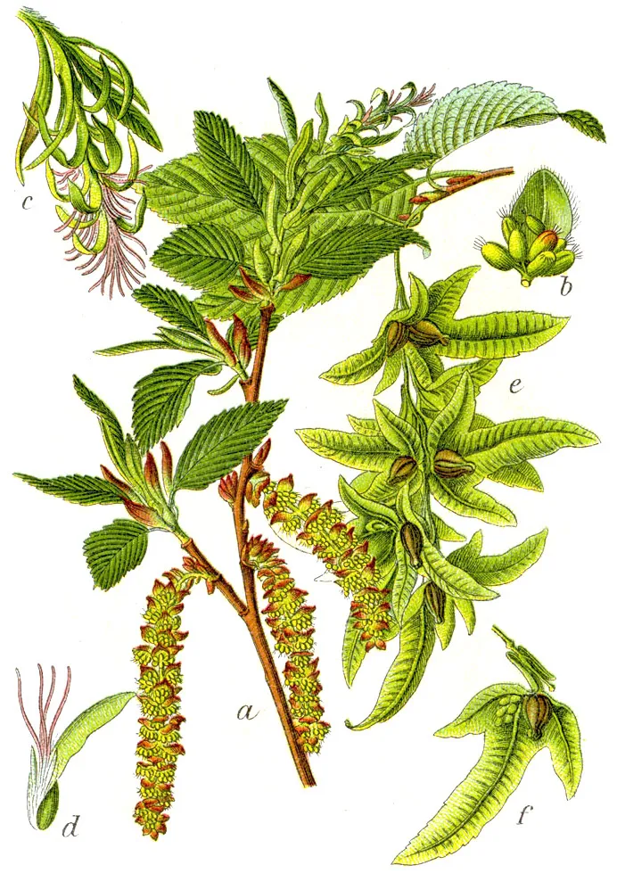
Plant
Hornbeam
Carpinus betulus4,832 records © Johann Georg Sturm (Painter: Jacob Sturm) · Public domain
Observed species
Occurrences documented via GBIF; they are neither an exhaustive inventory nor proof of current presence.
- Sessile Oak · Quercus petraea · 7061
- European Beech · Fagus sylvatica · 6160
- Hornbeam · Carpinus betulus · 4832
- Blackberry · Rubus fruticosus · 4639
- Pedunculate Oak · Quercus robur · 4191
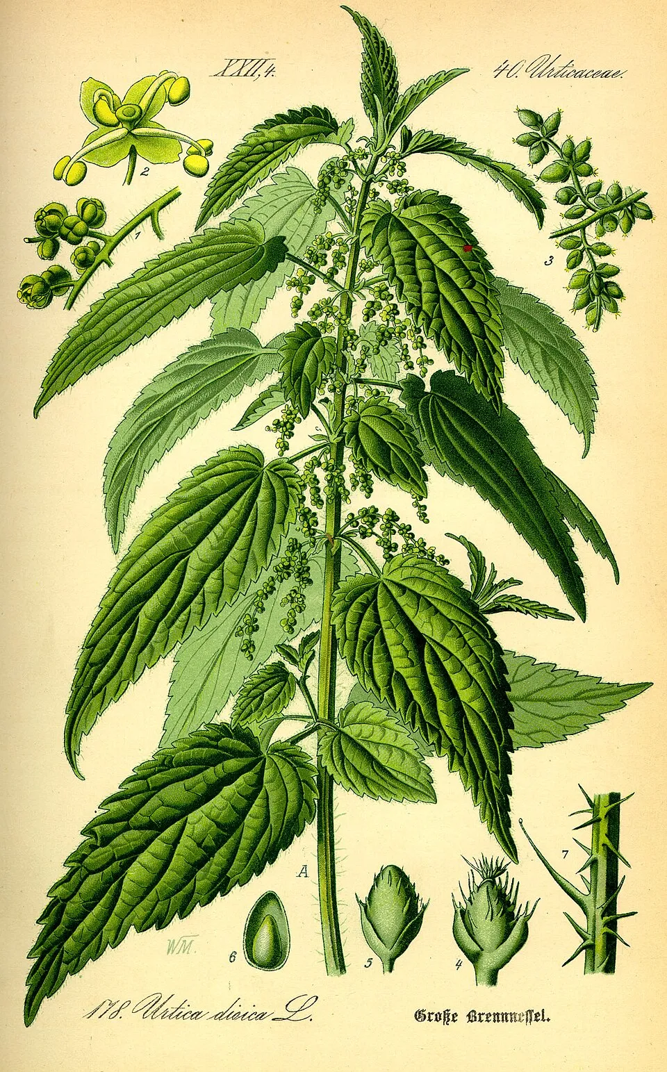
- Common Nettle · Urtica dioica · 3404
- Roe deer · Capreolus capreolus · 3122
- Marsh Thistle · Cirsium palustre · 3059
- Eurasian Chaffinch · Fringilla coelebs · 2940
- Rowan · Sorbus aucuparia · 2856
- Soft rush · Juncus effusus · 2847
- Yorkshire-fog · Holcus lanatus · 2788
+18 more species
- Common Sorrel · Rumex acetosa · 2692
- Yarrow · Achillea millefolium · 2491
- Raccoon · Procyon lotor · 2462
- Common Blackbird · Turdus merula · 2365
- Ribwort Plantain · Plantago lanceolata · 2346
- Sycamore · Acer pseudoplatanus · 2281
- Silver Birch · Betula pendula · 2258
- Red fescue · Festuca rubra · 2222
- Wavy hairgrass · Avenella flexuosa · 2202
- Green-veined white · Pieris napi · 2191
- Sweet cherry · Prunus avium · 2113
- Greater Bird's-foot-trefoil · Lotus pedunculatus · 2095
- Red fox · Vulpes vulpes · 2094
- Marsh-marigold · Caltha palustris · 2089
- Hazel · Corylus avellana · 2066
- Goat Willow · Salix caprea · 1952
- Oxeye daisy · Leucanthemum vulgare · 1941
- Meadowsweet · Filipendula ulmaria · 1937
Records: GBIF.org (CC-BY). Names: Wikidata (CC0), GBIF. Photos: Wikimedia Commons.
Conservation challenges
The primary purpose of the site is to preserve its natural habitats and the biodiversity they support. The species recorded (Biodiversity tab) reflect its ecological value. The designations it holds frame its management and the control of land use.
According to Global Forest Change data (University of Maryland, Global Forest Watch), about 3,080 ha of tree cover were lost within the boundary between 2001 and 2023 (7% of its area), peaking in 2008 and 2023. These losses include logging, storms and fires, and do not account for regrowth. Apart from forest felling and regrowth (about 1,440 ha in total), land cover remained almost unchanged between 1990 and 2018 according to CORINE Land Cover; only some 166 ha were built over. At night, 6% of the area gives off artificial light detectable from space (NASA VIIRS Black Marble composite, 2016). Built-up and developed land (buildings, business areas, roads, quarries) covers 4% of the area, and farmland 43% (CORINE Land Cover). According to the Natura 2000 forms, of 21 assessed habitats of European interest, 10 are in excellent condition and 2 in average or reduced condition. According to the Water Framework Directive assessment (2022 river basin management plans, data 2015–2021), none of the 187 km of rivers assessed within the site reaches good ecological status; they mostly have moderate ecological status. Other assessed water bodies: lakes, 0 of 1 in good ecological status or better. Since 2000, 13 invasive alien species have been recorded within the site (GBIF observations), 13 of them listed as of Union concern under EU Regulation 1143/2014. Among them: Procyon lotor (Raccoon), Impatiens glandulifera (Himalayan Balsam) and Pacifastacus leniusculus (Signal crayfish).
Pressure indicators
Tree cover lost
3,079 ha
2001–2023 · 7% of the area
20012023
Fires since 2016
0
No large fire mapped (fires over about 30 ha)
Light at night
6%
of the area gives off artificial light visible from space
DarkLit
Built-up land
4%
buildings, business areas, roads, quarries · farmland 43%
Land cover change
< 0.5%
of the area changed, 1990–2018 · CORINE
forest felling and regrowth: 1,440 ha in total
Rivers and lakes
0%
of the 187 km of assessed rivers in good or high ecological status · WFD 2022
Lakes: 0 of 1 good or better
assessments 2015–2021
Invasive alien species
13
incl. 13 of EU concern · since 2000
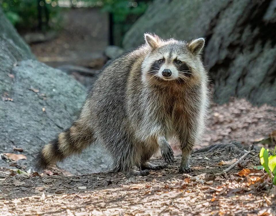 RaccoonEU
 Himalayan BalsamEU
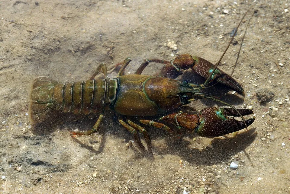 Signal crayfishEU
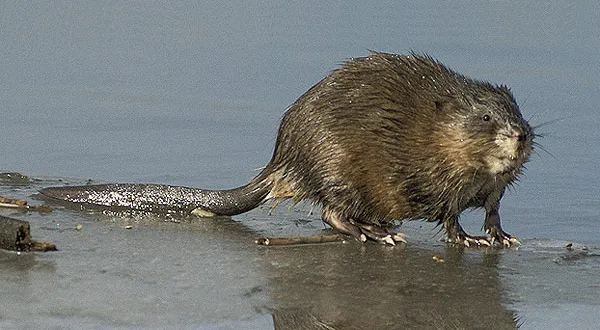 MuskratEU
 Egyptian GooseEU
 Giant HogweedEU
 Japanese KnotweedEU
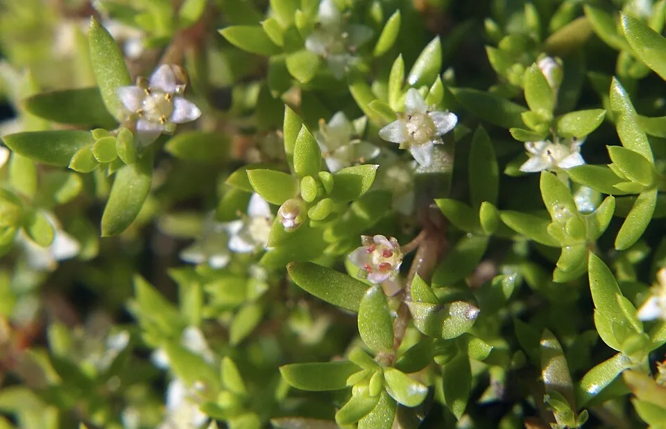 New Zealand PygmyweedEU
Photos: Raccoon © Rhododendrites · CC BY-SA 4.0; Himalayan Balsam © Guptaele · CC BY-SA 4.0; Signal crayfish © David Perez · CC BY 3.0; Muskrat © David Menke · Public domain; Egyptian Goose © Rhododendrites · CC BY-SA 4.0; Giant Hogweed © anastasiiamerkulova · CC BY 4.0; Japanese Knotweed © W.carter · CC0-1.0; New Zealand Pygmyweed © ashley BALSAM baz · CC BY 2.0
Sources: Global Forest Change (Hansen et al., University of Maryland, via Global Forest Watch, CC-BY 4.0); EFFIS, European Commission / Copernicus; NASA Black Marble 2016 (public domain); CORINE Land Cover 2018 (Copernicus) or MODIS.
CORINE Land Cover Change 1990–2018: generated using European Union's Copernicus Land Monitoring Service information (EEA), aggregated by Parkavela; DOI 10.2909/f30f1000-7cf8-43bb-872c-5eb093911b24.
Ecological status of water bodies: European Environment Agency, WISE – Water Framework Directive, 3rd river basin management plans (2022), CC BY 4.0. Official national classification, not comparable between countries.
Invasive alien species: Global Register of Introduced and Invasive Species (ISSG, CC BY 4.0); Union list, Regulation (EU) 1143/2014 (INBO, CC0); GBIF.org records (CC0 / CC BY 4.0), at least 2 per species.
Practical information
Cities and airport
- Luxembourg
29 km as the crow flies - Trier
33 km as the crow flies - Airport: Luxembourg (LUX)
28 km as the crow flies
By bike
VENN Vennbahn (Radweg) · 8 kmPC 20 Piste cyclable de la Wiltz (PC 20) · 27 kmPC7 · 26 kmPC22 Piste cyclable des Ardennes · 24 km
+ 9 local loops
Signed cycle routes: this does not mean that cycling is allowed on footpaths.
Data: Wikidata (CC0), pending OpenStreetMap data
Routes © OpenStreetMap contributors (ODbL), via Waymarked Trails
Bathing
2 monitored bathing sites in or within 1 km of the site · 2025 classification
Excellent · 2
- Lac de Weiswampach-Zone 3 · lake · Excellent
- Lac de Weiswampach-Zone 4 · lake · Excellent
Source: European Environment Agency, official bathing water classification (Directive 2006/7/EC, CC-BY 4.0). Swimming is only permitted at the sites and times authorised locally.
Access and visiting
Merkholtz railway station lies within the site. Nearest towns of over 50,000 people, as the crow flies: Luxembourg (29 km) and Trier (33 km). Nearest airport: Luxembourg (LUX), about 28 km away. About 230,000 people live within 20 km of the site boundary, 100,000 of them within 10 km; some 24,000 people are estimated to live inside (GHSL estimate, 2020). This population has grown by about 27% since 2000. The site is crossed by 12 signed cycle routes, including “VENN Vennbahn (Radweg)” and “PC 20 Piste cyclable de la Wiltz (PC 20)” (OpenStreetMap). To plan a visit (access, opening periods, visitor rules), it is best to consult the official information from the managing body and the official website listed in this page's sources.
Source: Wikidata (CC0), October 2026.
Built heritage
According to Wikidata, 6 monuments listed in the Luxembourg register of national monuments stand within the boundary. Among them are 5 castles and fortifications and 1 house or civic building. Examples include “Brandenbourg Castle” in Tandel, “Villa Berlaymont” in Clierf and “Stolzembourg Castle” in Pëtschent.
5 castles and fortifications1 house or civic building
-
Brandenbourg Castle
Tandel · 10th c. -
Villa Berlaymont
Clierf · 19th c. -
Stolzembourg Castle
Pëtschent -
Schuttbourg Castle
Kiischpelt · 14th c. -
Clervaux Castle
Clierf · 12th c. -
Urspelt Castle
Clierf · 19th c.
Source: Wikidata (CC0), monuments in each country’s official heritage protection registers, at national or regional level. Each item links to its Wikidata entry.
When to visit
Best time to visit: from May to September, with average temperatures of 12 to 18 °C and moderate rainfall. Day length ranges from about 8 h 05 min in December to 16 h 21 min in June. Wildlife records published on GBIF peak for birds (April and May), plants (June), butterflies and moths (June and July), dragonflies (June and July) and mammals (from February to May). These peaks also reflect when observers are most active.
Source: Copernicus ERA5-Land (C3S), monthly averages 1996–2025 at the representative point, temperatures adjusted for elevation.
Contains modified Copernicus Climate Change Service information 2026. Neither the European Commission nor ECMWF is responsible for any use that may be made of the Copernicus information or data it contains.
Wildlife records calendar
JFMAMJJASOND
Birds
Plants
Butterflies & moths
Dragonflies
Mammals
Monthly records published on GBIF (CC-BY), relative to the busiest month; also reflects observer activity.
Gallery
© Donar Reiskoffer · CC BY 3.0
© Cayambe · CC BY-SA 4.0
© Hejnjahns · CC BY-SA 4.0
© Klankbeeld · CC BY 4.0
© GilPe · CC BY-SA 4.0
© Cayambe · CC BY 4.0
Sources and licences
- Wikidata: Q466562
- Official website: http://www.naturpark-our.lu
- Wikipedia: en.wikipedia.org/wiki/Our_Natural_Park
- WDPA: 16358
References
- data.public.lu: official area · CC0-1.0
- cds.climate.copernicus.eu: climate · CC-BY-4.0
- registry.opendata.aws: elevation of the reference point, detailed relief · PD
- land.copernicus.eu: land cover, land cover change, sea share · COPERNICUS
- doi.org: population around the site · CC-BY-4.0
- eea.europa.eu: bathing water quality, ecological status of waters · CC-BY-4.0
- en.eurovelo.com: EuroVelo cycle routes · ODbL-1.0
- cycling.waymarkedtrails.org: cycle routes · ODbL-1.0
- opentopodata.org: elevations · PD
- wikidata.org: establishment date, protected heritage, official name, nearby cities and airport, access and peaks, lake depths, places to see, official website · CC0-1.0
- forest-fire.emergency.copernicus.eu: wildfires · COPERNICUS
- globalforestwatch.org: tree cover loss · CC-BY-4.0
- gbif.org: seasonality of sightings, invasive alien species, observed species · CC-BY-4.0
- europe-geology.eu: geology · CC-BY-4.0
- hydrosheds.org: lakes · CC-BY-4.0
- natura2000.eea.europa.eu: Natura 2000 habitats and species · CC-BY-4.0
- earthobservatory.nasa.gov: night light · PD
- nsidc.org: snow cover · PD
- wikidata.org: Wikipedia article · CC-BY-SA-4.0
Data © OpenStreetMap contributors (ODbL), Wikidata (CC0) and the sources cited.