Belgium · Terrestrial
Sources Nature Park
Nature park of 14,800 hectares in Belgium.
Overview
Nature park of 14,800 hectares in Belgium.
Sources Nature Park is located in Belgium (Europe). It is a predominantly terrestrial area. It covers about 14,800 hectares.
Protections and designations
Natura 2000 · habitats (SAC) · 5 sites
- Basse vallée de la Lienne BE33029C0
- Bois de la Géronstère BE33031C0
- Fagnes de Malchamps et de Stoumont BE33032C0
- Vallée de l'Amblève de Chêneu au Pont de Targnon BE33030C0
- Vallée de l'Amblève du Pont de Targnon à Remouchamps BE33028C0
Natura 2000 · birds (SPA) · 5 sites
- Basse vallée de la Lienne BE33029C0
- Bois de la Géronstère BE33031C0
- Fagnes de Malchamps et de Stoumont BE33032C0
- Vallée de l'Amblève de Chêneu au Pont de Targnon BE33030C0
- Vallée de l'Amblève du Pont de Targnon à Remouchamps BE33028C0
Protected as a nature park. International labels and designations: Natura 2000 network (5 sites). Key dates: first Natura 2000 site under the Birds Directive in 2014 and first Natura 2000 site under the Habitats Directive in 2014.
In our collections
Timeline
-
2014
First Natura 2000 site under the Birds Directive 5 such sites designated up to 2014
-
2014
First Natura 2000 site under the Habitats Directive 5 such sites designated up to 2014
Sources: Wikidata (CC0) for establishment and international labels; EEA Natura 2000 database (CC-BY 4.0) for site designation dates.
Frequently asked questions
Where is Sources Nature Park?
In Belgium (Europe). Representative point: 50.4254° N, 5.8169° E.
How large is Sources Nature Park?
About 14,800 hectares (148 km²). It is the 6th largest of the 6 nature parks in Belgium covered by Parkavela.
What habitats and landscapes does Sources Nature Park include?
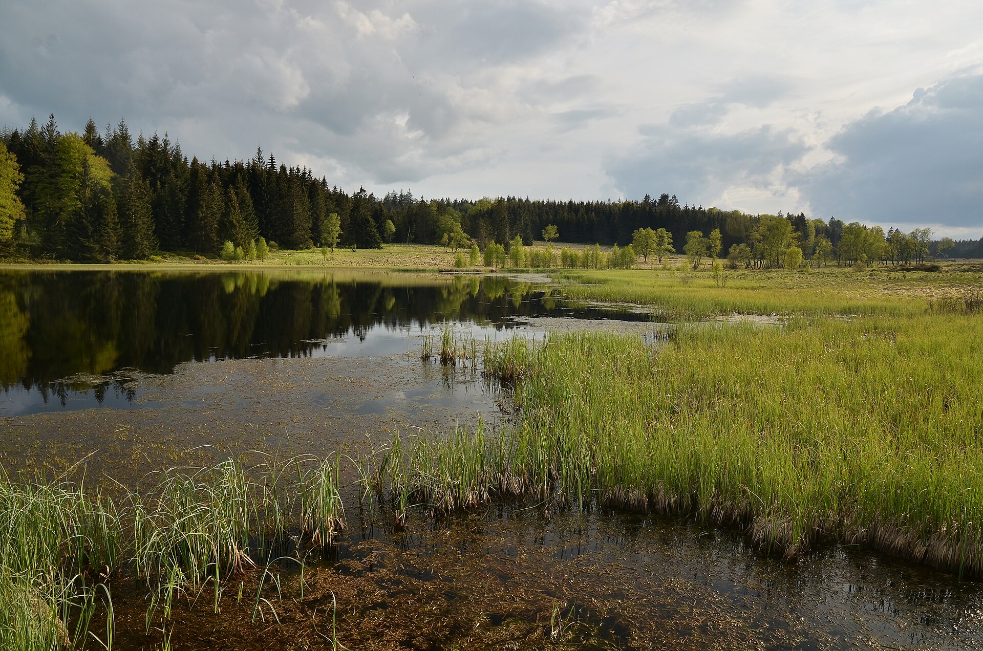
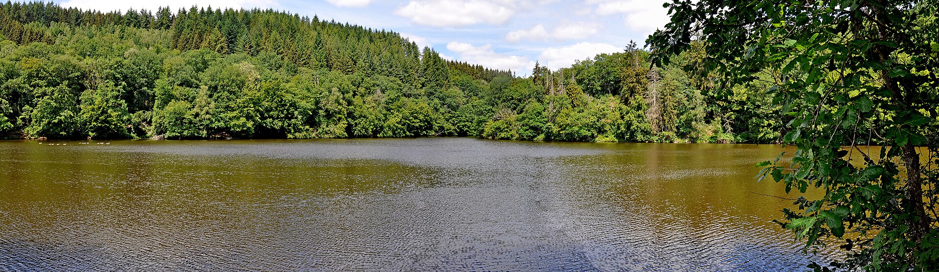
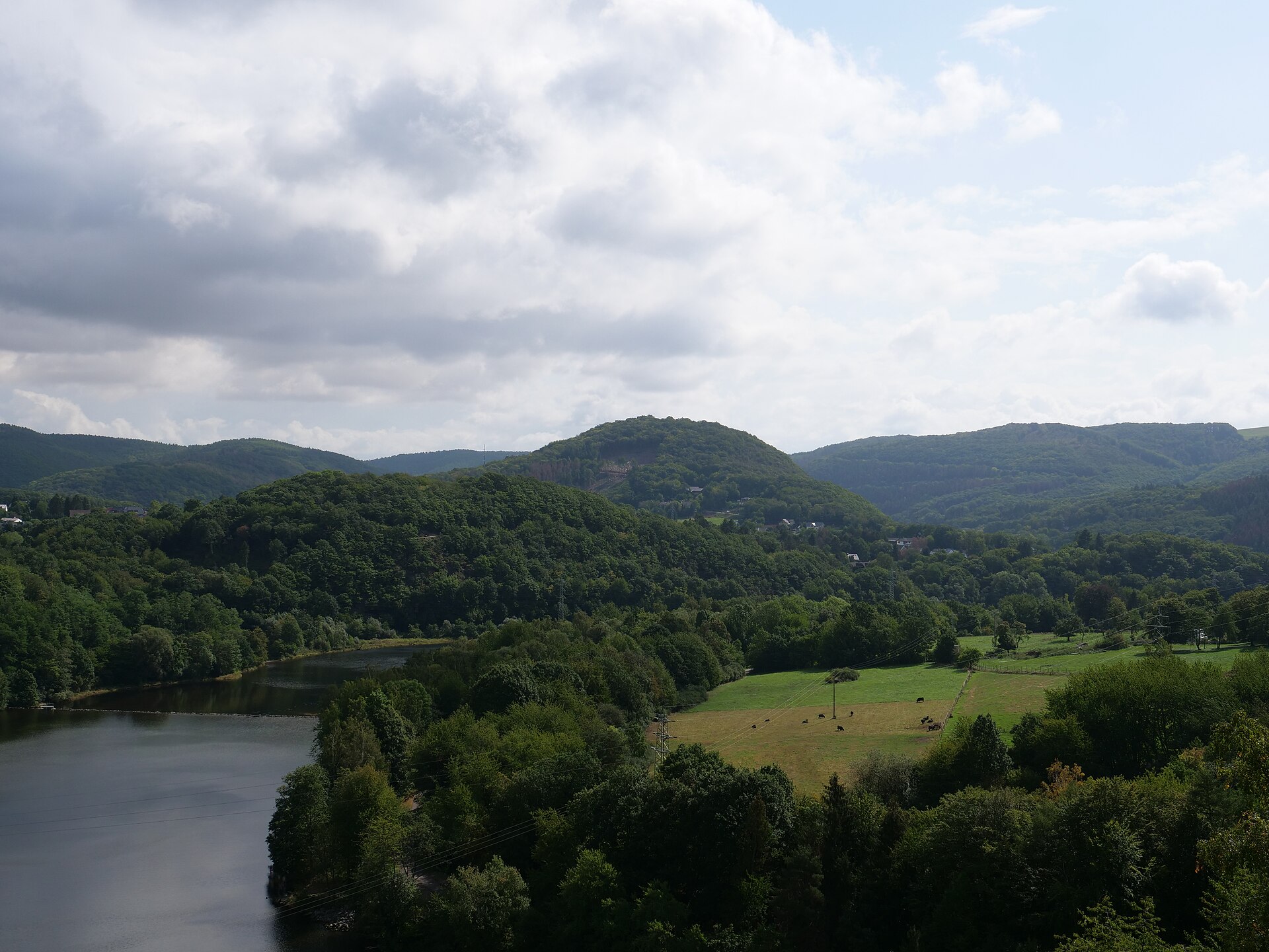
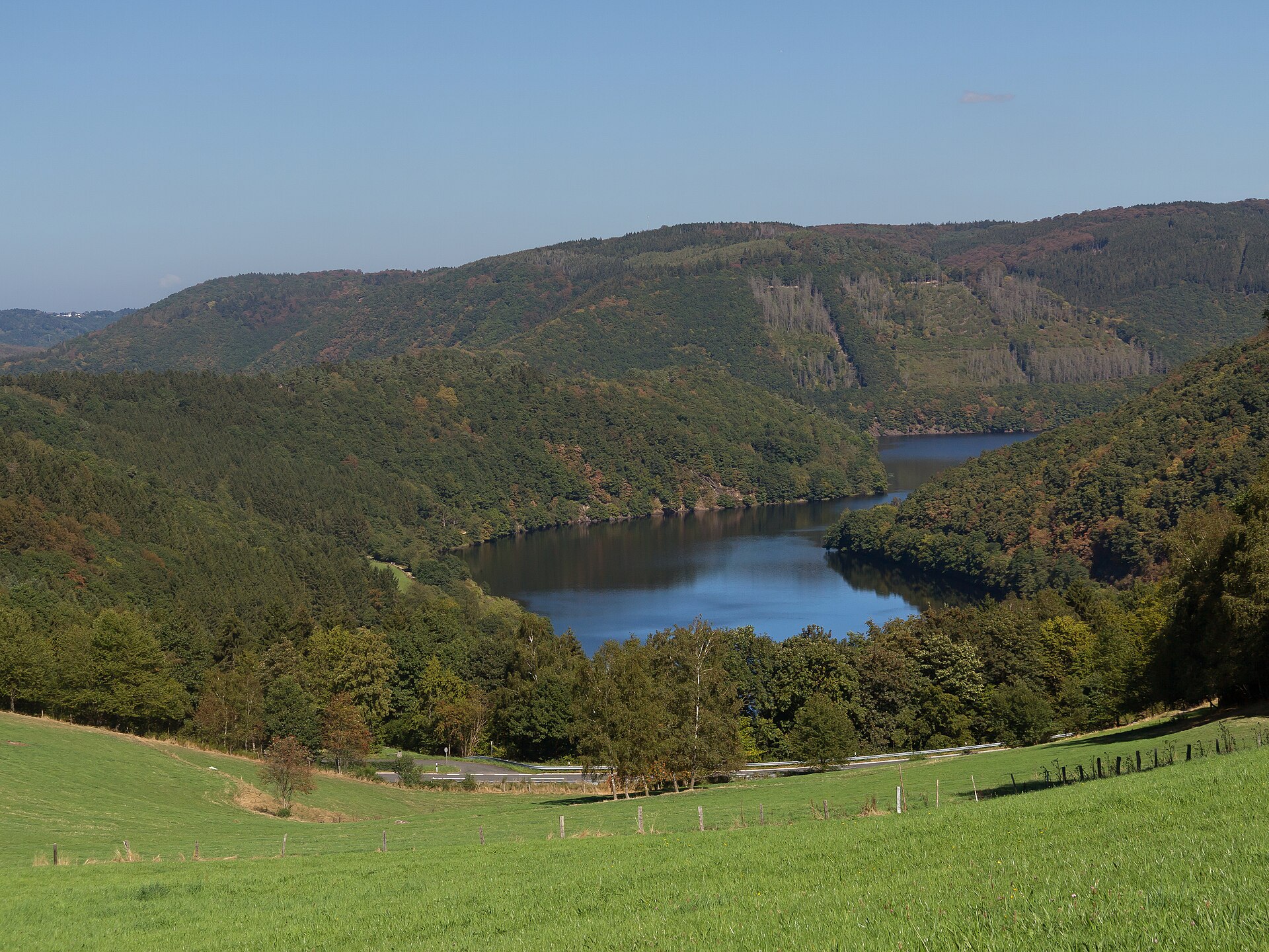
A terrestrial area, with forests.
What rocks lie beneath Sources Nature Park?
According to the European 1:1 million geological map (EGDI), the bedrock consists mainly of phyllites and slates (94% of sampled points). These are mostly metamorphic rocks. The geological units date mainly from the Cambrian (50% of sampled points).
What is the highest point of Sources Nature Park?
Malchamps, at 576 m (OpenStreetMap).
What are the main summits of Sources Nature Park?
Malchamps (576 m), Mont des Brumes (534 m), Mont Saint-Victor (525 m), Rouge Thier ou Rofthier (395 m) and Côte de Bierleux Haut (355 m) (OpenStreetMap).
Which international labels apply to Sources Nature Park?
Natura 2000 network (5 sites).
When is the best time to visit Sources Nature Park?
Best time to visit: from May to September, with average temperatures of 11 to 16 °C and moderate rainfall.
Are there historic monuments in Sources Nature Park?
Yes. According to Wikidata, 10 monuments listed as protected heritage in Wallonia or Flanders stand within the boundary, 1 of them a exceptional heritage of Wallonia. For example: “Former thermal baths of Spa” in Spa.
What is the nearest large city to Sources Nature Park?
Nearest towns of over 50,000 people, as the crow flies: Verviers (8 km) and Seraing (23 km). Nearest airport: Liege (LGG), about 29 km away.
How can I reach Sources Nature Park by train?
Spa railway station lies within the site.
Where can I get visitor information on site?
Royal Syndicat d’Initiative de La Gleize ASBL, Maison du Tourisme de Spa - Hautes Fagnes - Ardennes and Pavillon d’Accueil.
Are there waymarked hiking trails in Sources Nature Park?
Yes. Waymarked hiking routes listed in OpenStreetMap: 60, including GR 15 (228 km), GR 5 and Via Arduinna. The “GRP 571 Tour des Vallées des Légendes - Amblève - Salm - Lienne” route runs for about 40 km through the site, with some 630 m of ascent on its longest section.
Which species can be seen in Sources Nature Park?
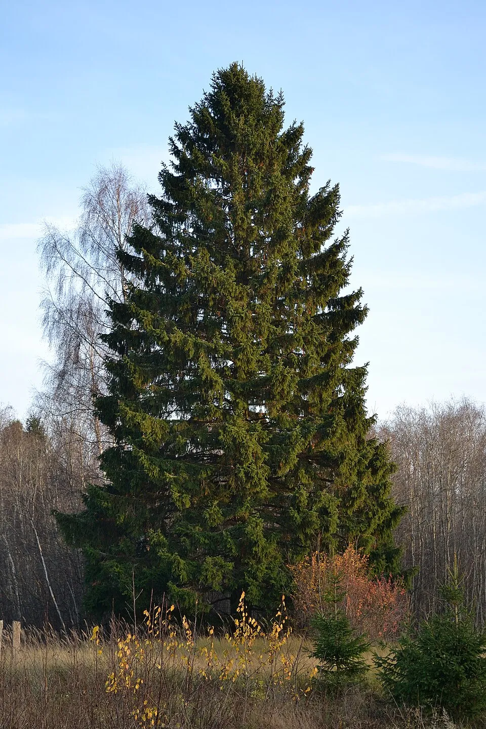
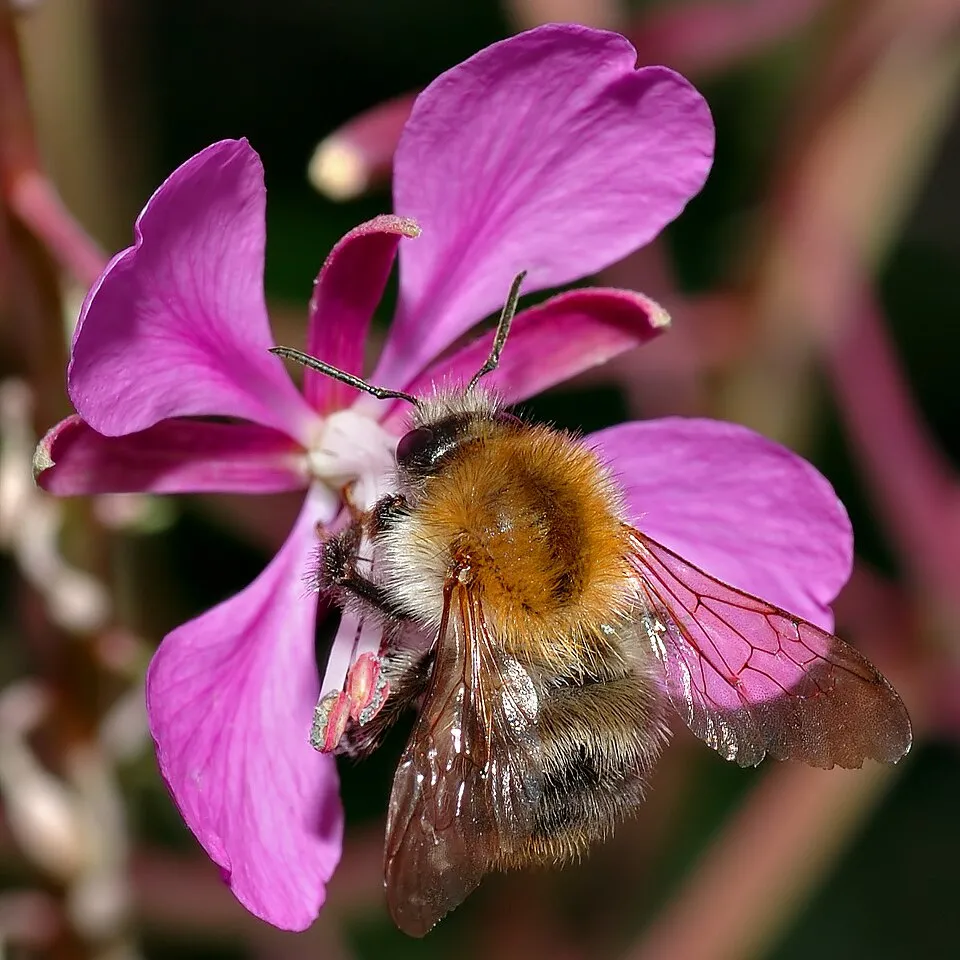
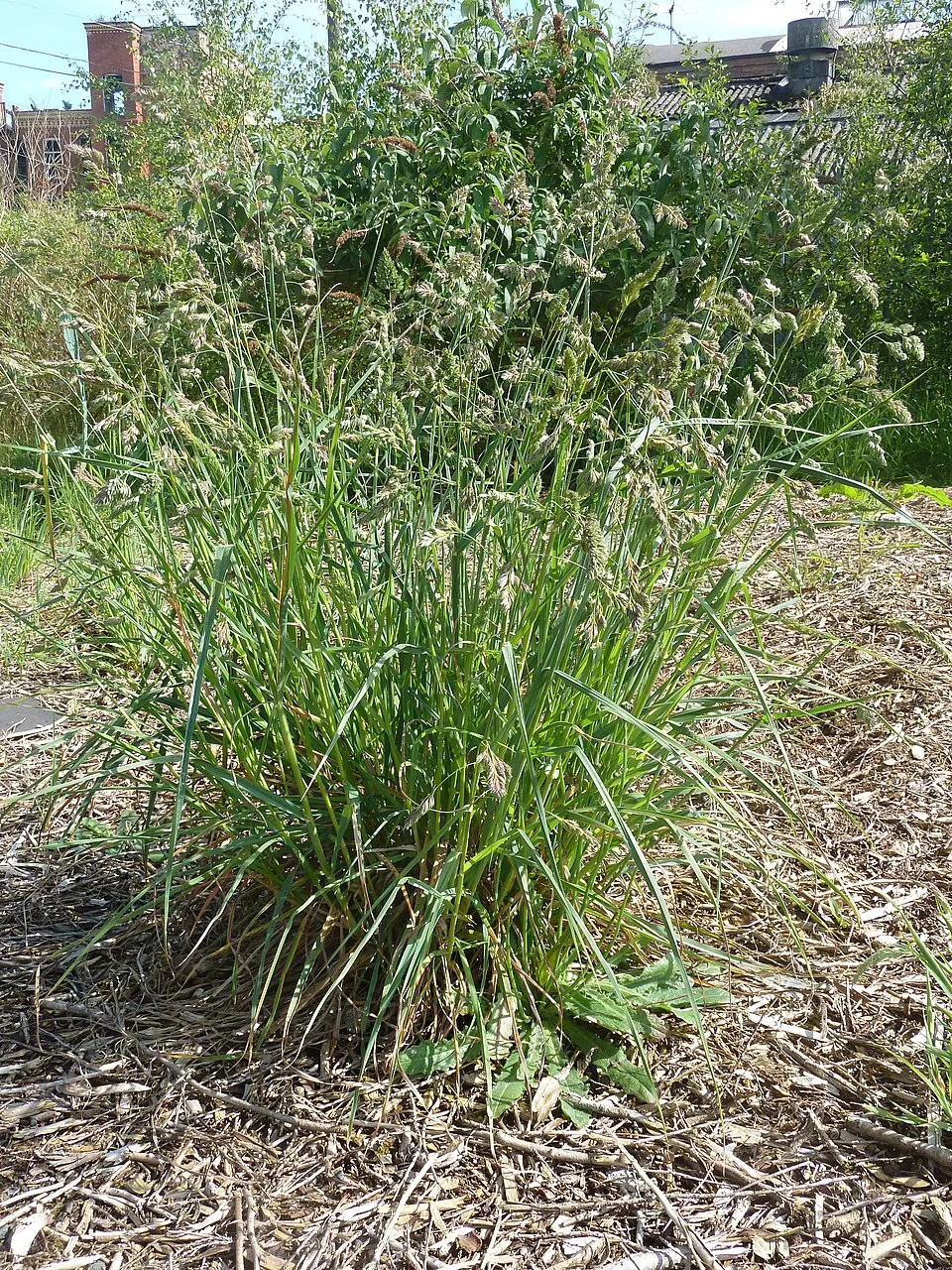
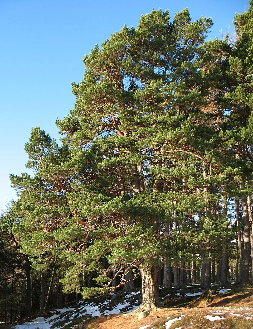
Among the species most often recorded on GBIF are Picea abies (Norway spruce), Bombus pascuorum (Common carder bumblebee), Dactylis glomerata (Cock's-foot) and Pinus sylvestris (Scots Pine).
What is the official website of Sources Nature Park?
© OpenStreetMap
Download the boundary: GeoJSON · GPX Boundary © OpenStreetMap contributors (ODbL).
Geography
The representative point of the site lies at around 544 m above sea level. Over the 1996–2025 period, the mean annual temperature is about 8.0 °C and total precipitation reaches roughly 1,107 mm per year. The warmest month is usually August, the coolest January, and the wettest December. According to the European 1:1 million geological map (EGDI), the bedrock consists mainly of phyllites and slates (94% of sampled points). These are mostly metamorphic rocks. The geological units date mainly from the Cambrian (50% of sampled points).
Area
- Area
- 14,800 ha
- Elevation
- 544 m
- Median elevation
- 369 m
- Mean slope
- 8°
- Coordinates
- 50.4254, 5.8169
Terrain: Mapzen Terrain Tiles (SRTM, USGS)
Bedrock
- Phyllites and slates 94 %
- Unconsolidated deposits 6 %
Metamorphic rocks 94 % · Sedimentary rocks 6 % · Main age: Cambrian (50%)
Source: EGDI 1:1M geological map (EuroGeoSurveys and national geological surveys), CC BY 4.0 · 16 sampled points within the site.
Main summits
- Malchamps576 m
- Mont des Brumes534 m
- Mont Saint-Victor525 m
- Rouge Thier ou Rofthier395 m
- Côte de Bierleux Haut355 m
Data © OpenStreetMap contributors (ODbL)
Climate
● Mean temperature (°C) · ▮ Precipitation (mm)
Source: Copernicus ERA5-Land (C3S, doi:10.24381/cds.68d2bb30), monthly averages 1996–2025 interpolated to the representative point, temperatures adjusted for elevation.
Contains modified Copernicus Climate Change Service information 2026. Neither the European Commission nor ECMWF is responsible for any use that may be made of the Copernicus information or data it contains.
Natural habitats
According to CORINE Land Cover (2018), the site is mainly made up of forests (64%), grassland and meadows (17%) and built-up or developed land (8%). Woodland mixes broadleaved and coniferous trees. Elevation ranges from about 220 m to 576 m (highest point: Malchamps). The 5 Natura 2000 sites overlapping the area list 26 habitats of European interest (5 priority), the most extensive being Luzulo-Fagetum beech forests, northern Atlantic wet heaths with Erica tetralix and old acidophilous oak woods with Quercus robur on sandy plains.
Biodiversity
Based on occurrences aggregated by GBIF, several species are regularly recorded within the site. Among the most frequent are Picea abies (Norway spruce), Bombus pascuorum (Common carder bumblebee), Dactylis glomerata (Cock's-foot) and Pinus sylvestris (Scots Pine). The full list of documented taxa is shown below. The overlapping Natura 2000 sites list 46 species of European interest: 15 birds, 15 mammals, 2 reptiles, 3 amphibians, 2 fish, 3 invertebrates and 6 plants.
Habitats of European interest
From the official forms of the 5 Natura 2000 sites overlapping the area (areas reported for each whole site).
- Luzulo-Fagetum beech forests 438 ha
- Northern Atlantic wet heaths with Erica tetralix 233 ha
- Old acidophilous oak woods with Quercus robur on sandy plains 175 ha
- Water courses of plain to montane levels with the Ranunculion fluitantis and Callitricho-Batrachion vegetation 64 ha
- Tilio-Acerion forests of slopes, screes and ravines priority 40 ha
- European dry heaths 40 ha
- Alluvial forests with Alnus glutinosa and Fraxinus excelsior (Alno-Padion, Alnion incanae, Salicion albae) priority 36 ha
- Lowland hay meadows (Alopecurus pratensis, Sanguisorba officinalis) 28 ha
and 18 more
Species of European interest
Birds · 15
Boreal Owl (Aegolius funereus) resident, Common Kingfisher (Alcedo atthis) resident breeding, Short-eared Owl (Asio flammeus) breeding, European Nightjar (Caprimulgus europaeus) breeding, Hen Harrier (Circus cyaneus) passage, Middle Spotted Woodpecker (Dendrocopos medius) resident, Black Woodpecker (Dryocopus martius) resident, Great egret (Egretta alba) passage, Eurasian Wryneck (Jynx torquilla) breeding, Red-backed Shrike (Lanius collurio) breeding, Great Grey Shrike (Lanius excubitor) wintering breeding, Woodlark (Lullula arborea) breeding and 3 more
Mammals · 15
Serotine bat (Eptesicus serotinus), European wildcat (Felis silvestris), Eurasian otter (Lutra lutra), European pine marten (Martes martes), Hazel dormouse (Muscardinus avellanarius), Western Polecat (Mustela putorius), Brandt's Bat (Myotis brandtii), Pond bat (Myotis dasycneme), Greater mouse-eared bat (Myotis myotis), Whiskered Bat (Myotis mystacinus/brandtii), Natterer's bat (Myotis nattereri), Nathusius's pipistrelle (Pipistrellus nathusii) and 3 more
Amphibians · 3
Midwife toad (Alytes obstetricans), Pool frog (Rana lessonae), Common frog (Rana temporaria)
Invertebrates · 3
Jersey Tiger (Callimorpha quadripunctaria), Yellow-spotted Whiteface (Leucorrhinia pectoralis), Violet Copper (Lycaena helle)
Plants · 6
Mountain arnica (Arnica montana), Fir Clubmoss (Huperzia selago), Leucobryum moss (Leucobryum glaucum), Marsh clubmoss (Lycopodiella inundata), Stag's-horn Clubmoss (Lycopodium clavatum), Sphagnum Mosses (Sphagnum spp.)
Source: Natura 2000 standard data forms (EEA, CC-BY 4.0). Not exhaustive: sensitive species are not published.
Species to look out for

Observed species
Occurrences documented via GBIF; they are neither an exhaustive inventory nor proof of current presence.
- Norway spruce · Picea abies · 817
- Common carder bumblebee · Bombus pascuorum · 451
- Cock's-foot · Dactylis glomerata · 234
- Scots Pine · Pinus sylvestris · 233
- Japanese Knotweed · Reynoutria japonica · 210
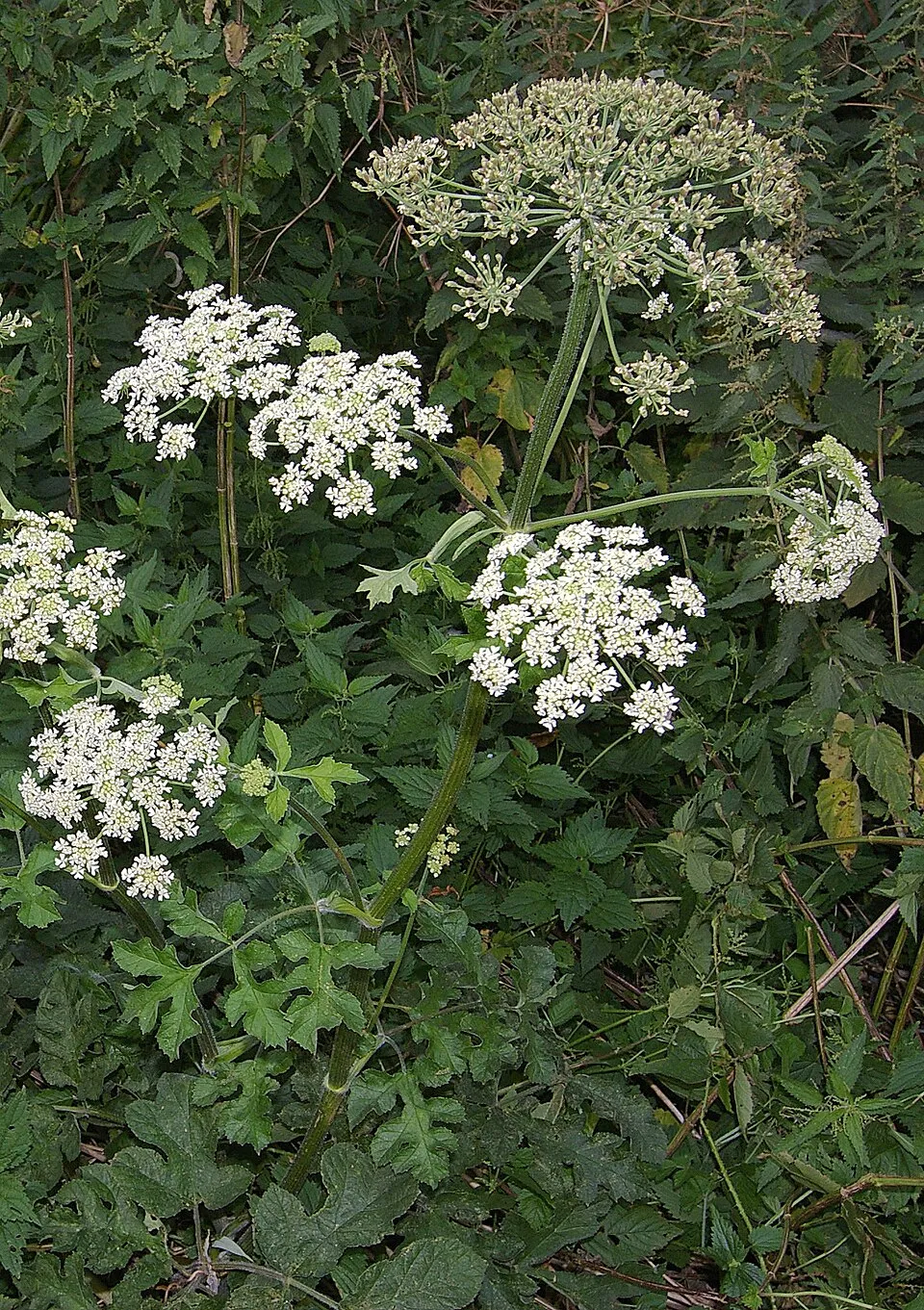
- Hogweed · Heracleum sphondylium · 191
- Himalayan Balsam · Impatiens glandulifera · 185
- Woodland germander · Teucrium scorodonia · 184
- Creeping buttercup · Ranunculus repens · 179
- Ribwort Plantain · Plantago lanceolata · 178
- Yorkshire-fog · Holcus lanatus · 172
- Canada Goose · Branta canadensis · 170
+18 more species
- Meadow buttercup · Ranunculus acris · 166
- Early bumblebee · Bombus pratorum · 163
- Hedge bedstraw · Galium mollugo · 159
- Yellow Archangel · Lamium galeobdolon · 156
- Red fescue · Festuca rubra · 152
- Germander speedwell · Veronica chamaedrys · 150
- Common Sorrel · Rumex acetosa · 148
- Great Yellow Gentian · Gentiana lutea · 146
- White-tailed bumblebee · Bombus lucorum · 143
- False Oat-grass · Arrhenatherum elatius · 143
- Colonial bentgrass · Agrostis capillaris · 143
- Red clover · Trifolium pratense · 143
- Sweet vernalgrass · Anthoxanthum odoratum · 134
- Red-tailed Bumblebee · Bombus lapidarius · 132
- European Beech · Fagus sylvatica · 132
- Cryptic bumblebee · Bombus cryptarum · 128
- Bilberry · Vaccinium myrtillus · 124
- White Clover · Trifolium repens · 121
Records: GBIF.org (CC-BY). Names: Wikidata (CC0), GBIF. Photos: Wikimedia Commons.
Conservation challenges
The primary purpose of the site is to preserve its natural habitats and the biodiversity they support. The species recorded (Biodiversity tab) reflect its ecological value. The designations it holds frame its management and the control of land use.
According to Global Forest Change data (University of Maryland, Global Forest Watch), about 2,130 ha of tree cover were lost within the boundary between 2001 and 2023 (14% of its area). These losses include logging, storms and fires, and do not account for regrowth. Apart from forest felling and regrowth (about 1,760 ha in total), land cover remained almost unchanged between 1990 and 2018 according to CORINE Land Cover. At night, 5% of the area gives off artificial light detectable from space (NASA VIIRS Black Marble composite, 2016). Built-up and developed land (buildings, business areas, roads, quarries) covers 8% of the area, and farmland 6% (CORINE Land Cover). According to the Natura 2000 forms, of 26 assessed habitats of European interest, 15 are in average or reduced condition and the rest in good condition. According to the Water Framework Directive assessment (2022 river basin management plans, data 2018), 83% of the 48 km of rivers assessed within the site are in good or high ecological status. Since 2000, 57 invasive alien species have been recorded within the site (GBIF observations), 14 of them listed as of Union concern under EU Regulation 1143/2014. Among them: Reynoutria japonica (Japanese Knotweed), Impatiens glandulifera (Himalayan Balsam) and Alopochen aegyptiaca (Egyptian Goose).
Pressure indicators
Tree cover lost
2,128 ha
2001–2023 · 14% of the area
20012023
Fires since 2016
0
No large fire mapped (fires over about 30 ha)
Light at night
5%
of the area gives off artificial light visible from space
DarkLit
Built-up land
8%
buildings, business areas, roads, quarries · farmland 6%
Land cover change
< 0.5%
of the area changed, 1990–2018 · CORINE
forest felling and regrowth: 1,760 ha in total
Rivers and lakes
83%
of the 48 km of assessed rivers in good or high ecological status · WFD 2022
assessments 2018
Invasive alien species
57
incl. 14 of EU concern · since 2000
Japanese KnotweedEU
 Himalayan BalsamEU
 Egyptian GooseEU
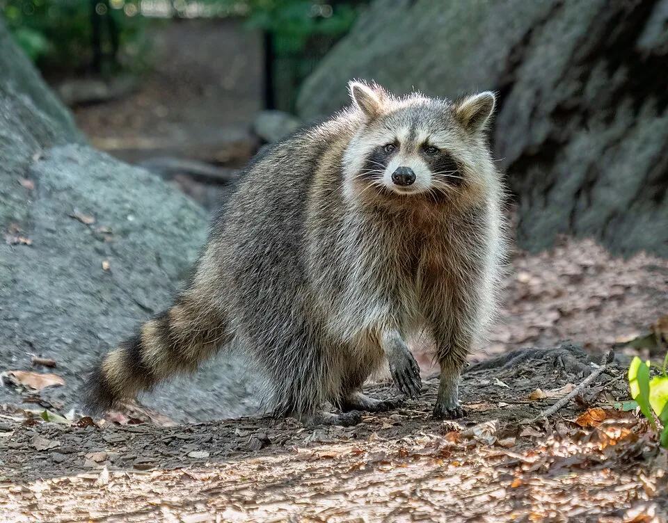 RaccoonEU
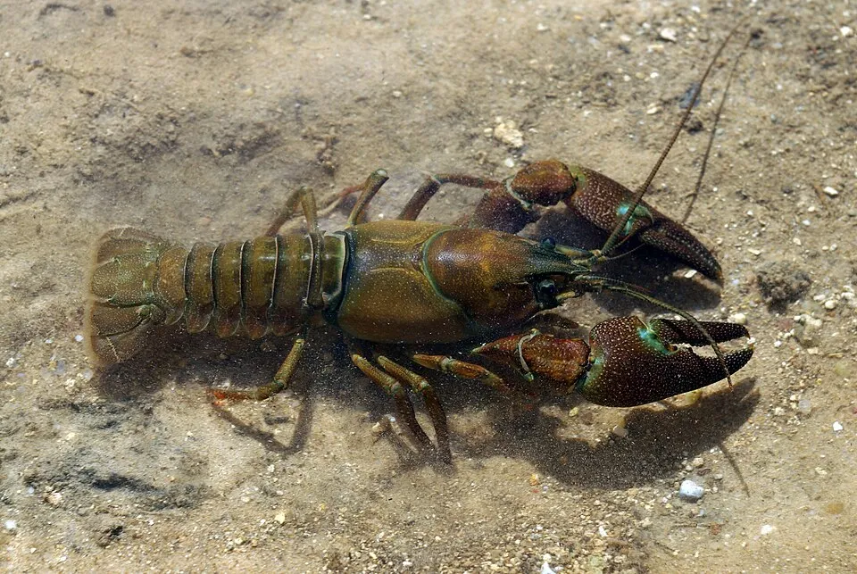 Signal crayfishEU
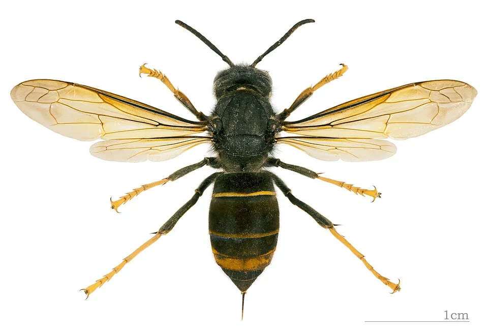 Asian hornetEU
 Giant HogweedEU
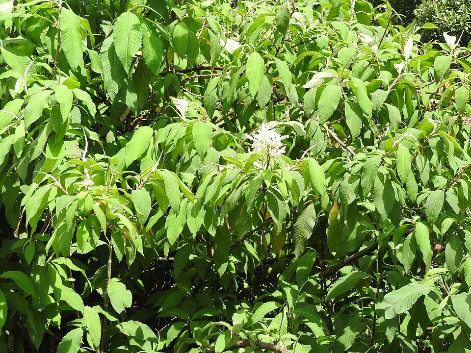 Himalayan knotweedEU
Photos: Japanese Knotweed © W.carter · CC0-1.0; Himalayan Balsam © Guptaele · CC BY-SA 4.0; Egyptian Goose © Rhododendrites · CC BY-SA 4.0; Raccoon © Rhododendrites · CC BY-SA 4.0; Signal crayfish © David Perez · CC BY 3.0; Asian hornet © Didier Descouens · CC BY-SA 4.0; Giant Hogweed © anastasiiamerkulova · CC BY 4.0; Himalayan knotweed © Yercaud-elango · CC BY-SA 4.0
Sources: Global Forest Change (Hansen et al., University of Maryland, via Global Forest Watch, CC-BY 4.0); EFFIS, European Commission / Copernicus; NASA Black Marble 2016 (public domain); CORINE Land Cover 2018 (Copernicus) or MODIS.
CORINE Land Cover Change 1990–2018: generated using European Union's Copernicus Land Monitoring Service information (EEA), aggregated by Parkavela; DOI 10.2909/f30f1000-7cf8-43bb-872c-5eb093911b24.
Ecological status of water bodies: European Environment Agency, WISE – Water Framework Directive, 3rd river basin management plans (2022), CC BY 4.0. Official national classification, not comparable between countries.
Invasive alien species: Global Register of Introduced and Invasive Species (ISSG, CC BY 4.0); Union list, Regulation (EU) 1143/2014 (INBO, CC0); GBIF.org records (CC0 / CC BY 4.0), at least 2 per species.
Practical information
Cities and airport
- Verviers
8 km as the crow flies - Seraing
23 km as the crow flies - Airport: Liege (LGG)
29 km as the crow flies
Visitor information
- Royal Syndicat d’Initiative de La Gleize ASBL
within the site - Maison du Tourisme de Spa - Hautes Fagnes - Ardennes
within the site - Pavillon d’Accueil
< 1 km from the site boundary - Syndicat d’Initiative de Francorchamps
2 km from the site boundary
Hiking
60 waymarked routes listed, including:
GR 15 (228 km)GR 5Via Arduinna
By bike
L44a Ligne 44a · 3 kmLOS Liaison RAVeL Ourthe (Rivage)-Spa · 5 km
Signed cycle routes: this does not mean that cycling is allowed on footpaths.
Wheelchair access
- Carrière Pirosson
viewpoint - Carrière Canul
viewpoint · partial access
accessible toilets: 2
Reported by OpenStreetMap contributors (ODbL); check with the park before visiting.
Data © OpenStreetMap contributors (ODbL) · Wikidata (CC0)
Routes © OpenStreetMap contributors (ODbL), via Waymarked Trails
Waymarked hiking routes
GR 15 GR 15 De la Lorraine belge à l'Eifel
9.1 km within the site ↗ 235 m↘ 227 m 251–398 m
GRP 571 GRP 571 Tour des Vallées des Légendes - Amblève - Salm - Lienne
39.9 km within the site ↗ 632 m↘ 573 m 194–415 m
GRP 573 GRP 573 Tour de la vallée de la Vesdre et des Hautes Fagnes
6.8 km within the site ↗ 149 m↘ 121 m 272–364 m
Tracks © OpenStreetMap contributors (ODbL), clipped to the boundary; elevation gain and profiles computed on the longest section from Mapzen Terrain Tiles (≈ 30 m), indicative only.
Access and visiting
Spa railway station lies within the site. Nearest towns of over 50,000 people, as the crow flies: Verviers (8 km) and Seraing (23 km). Nearest airport: Liege (LGG), about 29 km away. About 410,000 people live within 20 km of the site boundary, 150,000 of them within 10 km; some 15,000 people are estimated to live inside (GHSL estimate, 2020). This population has grown by about 9% since 2000. Visitor information on site: Royal Syndicat d’Initiative de La Gleize ASBL, Maison du Tourisme de Spa - Hautes Fagnes - Ardennes and Pavillon d’Accueil. Waymarked hiking routes listed in OpenStreetMap: 60, including GR 15 (228 km), GR 5 and Via Arduinna. The site is crossed by 2 signed cycle routes: “L44a Ligne 44a” and “LOS Liaison RAVeL Ourthe (Rivage)-Spa” (OpenStreetMap). OpenStreetMap contributors list one wheelchair-accessible place: Carrière Pirosson; check with the park before visiting. To plan a visit (access, opening periods, visitor rules), it is best to consult the official information from the managing body and the official website listed in this page's sources.
Source: OpenStreetMap (ODbL), Wikidata (CC0), October 2026.
Built heritage
According to Wikidata, 10 monuments listed as protected heritage in Wallonia or Flanders stand within the boundary, 1 of them a exceptional heritage of Wallonia. Among them are 3 religious buildings, 1 bridge, lighthouse, mill or working building and 1 castle or fortification. Nationally designated items include “Former thermal baths of Spa” in Spa.
3 religious buildings1 bridge, lighthouse, mill or working building1 castle or fortification1 house or civic building
-
Former thermal baths of Spa
National
Spa · 19th c. -
Chapelle Leloup de Spa
Spa · 17th c. -
Froidcourt Castle
Stoumont · 20th c. -
Hôtel de Lorraine
Spa -
Ferme de Martinville
Rahier -
Saint Anna chapel
Stoumont -
Hôtel de Bourbon
Spa -
Église Saint-Georges de Lorcé
Stoumont
and 2 more
Source: Wikidata (CC0), monuments in each country’s official heritage protection registers, at national or regional level. Each item links to its Wikidata entry.
When to visit
Best time to visit: from May to September, with average temperatures of 11 to 16 °C and moderate rainfall. Day length ranges from about 8 h 02 min in December to 16 h 25 min in June. Wildlife records published on GBIF peak for birds (March), plants (June), butterflies and moths (July), dragonflies (July and August) and mammals (April). These peaks also reflect when observers are most active.
Source: Copernicus ERA5-Land (C3S), monthly averages 1996–2025 at the representative point, temperatures adjusted for elevation.
Contains modified Copernicus Climate Change Service information 2026. Neither the European Commission nor ECMWF is responsible for any use that may be made of the Copernicus information or data it contains.
Wildlife records calendar
JFMAMJJASOND
Birds
Plants
Butterflies & moths
Dragonflies
Mammals
Monthly records published on GBIF (CC-BY), relative to the busiest month; also reflects observer activity.
Gallery
© Romaine · CC0-1.0
© Jean-Pol GRANDMONT · CC BY-SA 2.5
© Jérémy-Günther-Heinz Jähnick · CC BY-SA 3.0
© Gilles San Martin · CC BY-SA 4.0
© Jérémy-Günther-Heinz Jähnick · CC BY-SA 3.0
© YedidyaPopper · CC BY-SA 4.0
Sources and licences
- Wikidata: Q108782466
- OpenStreetMap: relation 10601028
- Official website: http://www.parcnatureldessources.be/fr
References
- cds.climate.copernicus.eu: climate · CC-BY-4.0
- registry.opendata.aws: elevation of the reference point, detailed relief · PD
- land.copernicus.eu: land cover, land cover change, sea share · COPERNICUS
- doi.org: population around the site · CC-BY-4.0
- wikidata.org: official area, protected heritage, nearby cities and airport, access and peaks, lake depths, places to see, official website · CC0-1.0
- eea.europa.eu: bathing water quality, ecological status of waters · CC-BY-4.0
- en.eurovelo.com: EuroVelo cycle routes · ODbL-1.0
- cycling.waymarkedtrails.org: cycle routes · ODbL-1.0
- opentopodata.org: elevations · PD
- forest-fire.emergency.copernicus.eu: wildfires · COPERNICUS
- globalforestwatch.org: tree cover loss · CC-BY-4.0
- gbif.org: seasonality of sightings, invasive alien species, observed species · CC-BY-4.0
- europe-geology.eu: geology · CC-BY-4.0
- hydrosheds.org: lakes · CC-BY-4.0
- natura2000.eea.europa.eu: Natura 2000 habitats and species · CC-BY-4.0
- openstreetmap.org: official name, access and peaks, trail difficulty, wheelchair access · ODbL-1.0
- earthobservatory.nasa.gov: night light · PD
- hiking.waymarkedtrails.org: route difficulty · ODbL-1.0
- nsidc.org: snow cover · PD
Data © OpenStreetMap contributors (ODbL), Wikidata (CC0) and the sources cited.