Ireland · Terrestrial
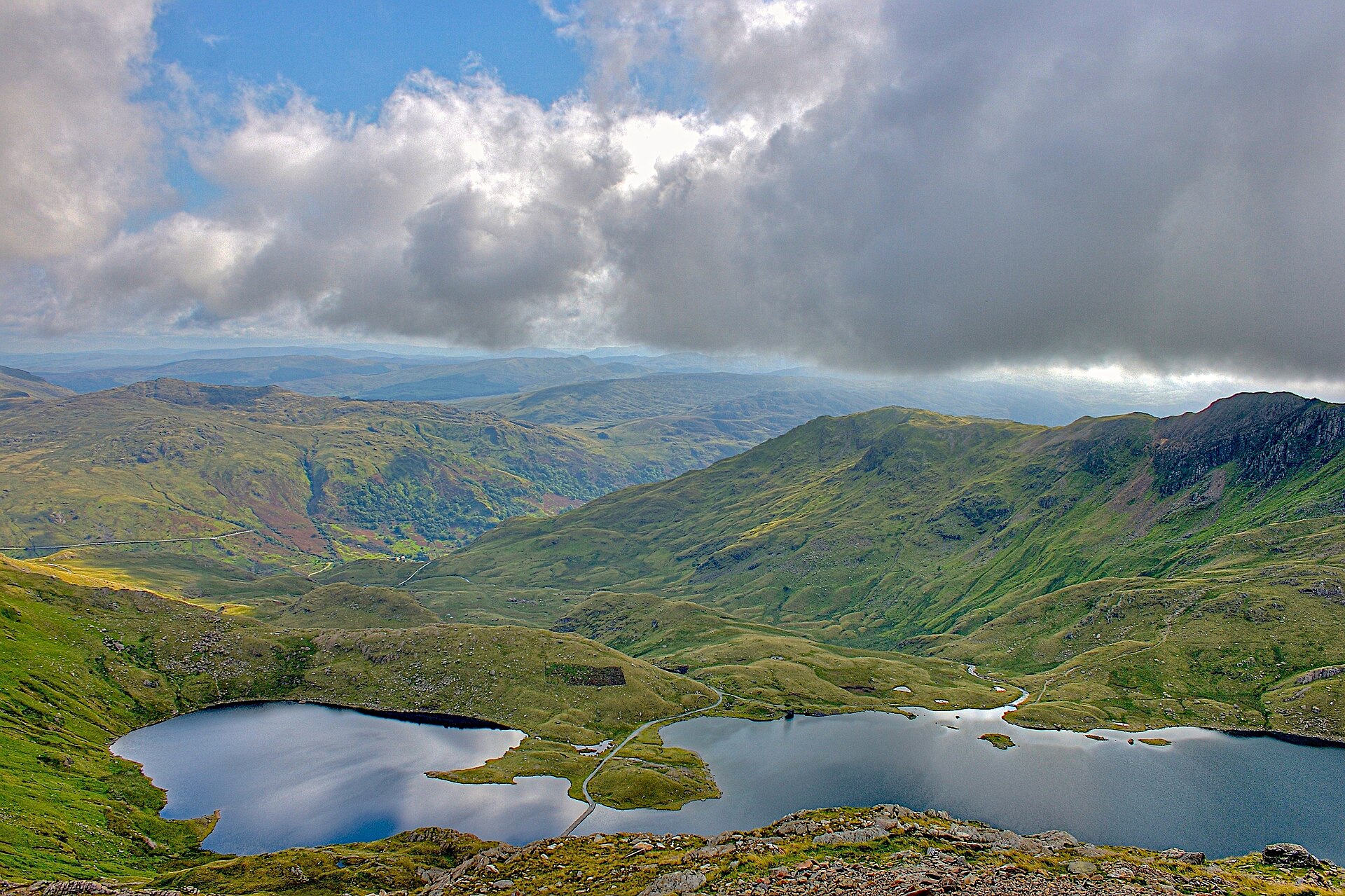
Wicklow Mountains National Park
National park of 20,483 hectares in Ireland, established in 1991.
Overview
National park of 20,483 hectares in Ireland, established in 1991.
Wicklow Mountains National Park is located in Ireland (Europe). It is a predominantly terrestrial area. Established in 1991, it covers about 20,483 hectares.
Protections and designations
Natura 2000 · habitats (SAC)
- Wicklow Mountains SAC IE0002122
Natura 2000 · birds (SPA)
- Wicklow Mountains SPA IE0004040
Protected as a national park. International labels and designations: Natura 2000 network (2 sites). Key dates: established in 1991 and first Natura 2000 site under the Birds Directive in 1995.
In our collections
Timeline
-
1991
Established
-
1995
First Natura 2000 site under the Birds Directive
Sources: Wikidata (CC0) for establishment and international labels; EEA Natura 2000 database (CC-BY 4.0) for site designation dates.
Frequently asked questions
Where is Wicklow Mountains National Park?
In Ireland (Europe). Representative point: 53.0180° N, 6.3980° W.
How large is Wicklow Mountains National Park?
About 20,483 hectares (205 km²). It is the largest of the 6 national parks in Ireland covered by Parkavela.
When was Wicklow Mountains National Park established?
In 1991.
What habitats and landscapes does Wicklow Mountains National Park include?
A terrestrial area, with wetlands.
What rocks lie beneath Wicklow Mountains National Park?
According to the European 1:1 million geological map (EGDI), the bedrock consists mainly of peat (69% of sampled points), phyllites and slates (19%) and granites (13%). These are mostly sedimentary rocks. The geological units date mainly from the Quaternary (69% of sampled points).
What is the highest point of Wicklow Mountains National Park?
Mullaghcleevaun, at 847 m (OpenStreetMap).
What are the main summits of Wicklow Mountains National Park?
Mullaghcleevaun (847 m), Tonelagee (816 m), Cloghernagh (800 m), Mullaghcleevaun East Top (796 m) and Corrigasleggaun (795 m) (OpenStreetMap).
Which international labels apply to Wicklow Mountains National Park?
Natura 2000 network (2 sites).
When is the best time to visit Wicklow Mountains National Park?
Best time to visit: from June to September, with average temperatures of 11 to 14 °C and moderate rainfall.
What is there to see in Wicklow Mountains National Park?
1 waterfall and 5 lakes and ponds, including Poulanass Waterfall, Kelly's Lough (590 m), Lough Firrib (650 m) and Lough Ouler (Wikidata).
Are there historic monuments in Wicklow Mountains National Park?
Yes. According to Wikidata, 3 monuments with National Monument status in Ireland stand within the boundary. For example: “Glendalough”, “Round tower” in Camaderry and “Seefin Passage Tomb” in Blessington.
What is the nearest large city to Wicklow Mountains National Park?
Nearest towns of over 50,000 people, as the crow flies: Dublin (13 km). Nearest airport: Dublin (DUB), about 21 km away.
How can I reach Wicklow Mountains National Park by train?
The nearest railway station is Woodbrook, about 8 km from the site boundary.
Where can I get visitor information on site?
Information Office & Museum and Blessington Tourist Information.
Are there waymarked hiking trails in Wicklow Mountains National Park?
Yes. Waymarked hiking routes listed in OpenStreetMap: 11, including E 8, Wicklow Way and Miners' Way. The “European long distance path E8 - part Ireland” route runs for about 13 km through the site, with some 80 m of ascent on its longest section.
Which species can be seen in Wicklow Mountains National Park?
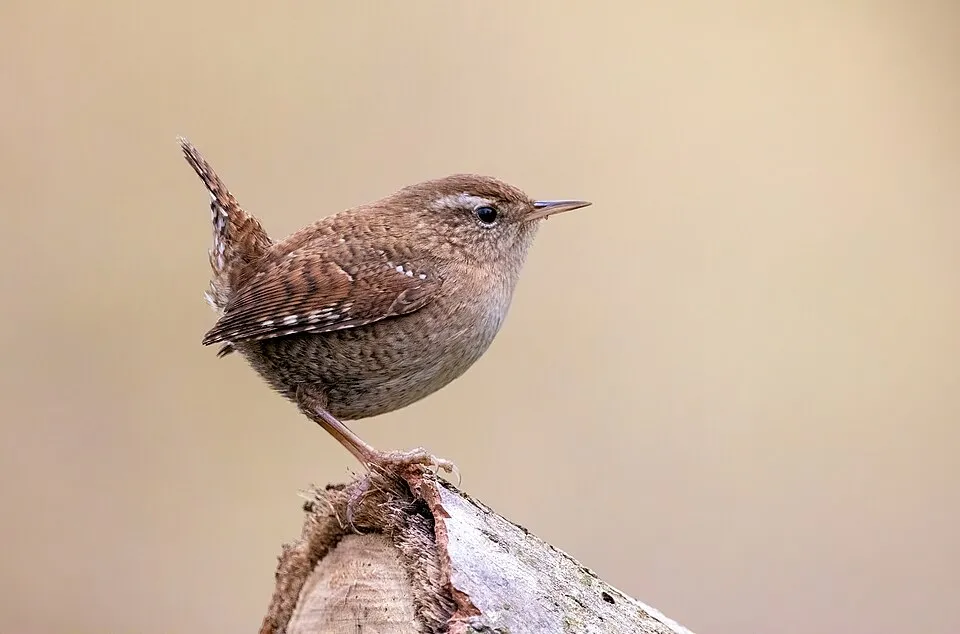
Among the species most often recorded on GBIF are Erithacus rubecula (European robin), Fringilla coelebs (Eurasian Chaffinch), Troglodytes troglodytes (Eurasian Wren) and Corvus corax (Northern Raven).
What is the official website of Wicklow Mountains National Park?
© OpenStreetMap
Download the boundary: GeoJSON · GPX Boundary © OpenStreetMap contributors (ODbL).
Geography
The representative point of the site lies at around 544 m above sea level. Over the 1996–2025 period, the mean annual temperature is about 7.5 °C and total precipitation reaches roughly 997 mm per year. The warmest month is usually July, the coolest January, and the wettest October. According to the European 1:1 million geological map (EGDI), the bedrock consists mainly of peat (69% of sampled points), phyllites and slates (19%) and granites (13%). These are mostly sedimentary rocks. The geological units date mainly from the Quaternary (69% of sampled points). The site contains 2 lakes larger than 10 ha, totalling 50 ha of water (HydroLAKES). Glendalough Upper Lake is 30 m deep (Wikidata).
Area
- Area
- 20,483 ha
- Elevation
- 544 m
- Median elevation
- 513 m
- Mean slope
- 10°
- Lakes over 10 ha
- 2 (50 ha)
- Coordinates
- 53.018, -6.398
Terrain: Mapzen Terrain Tiles (SRTM, USGS) · Lakes: HydroLAKES (Messager et al. 2016, hydrosheds.org, CC BY 4.0) · depths: Wikidata (CC0)
Bedrock
- Peat 69 %
- Phyllites and slates 19 %
- Granites 13 %
Sedimentary rocks 69 % · Metamorphic rocks 19 % · Igneous rocks 13 % · Main age: Quaternary (69%)
Source: EGDI 1:1M geological map (EuroGeoSurveys and national geological surveys), CC BY 4.0 · 16 sampled points within the site.
Main summits
- Mullaghcleevaun847 m
- Tonelagee816 m
- Cloghernagh800 m
- Mullaghcleevaun East Top796 m
- Corrigasleggaun795 m
- Kippure757 m
- Conavalla734 m
- Carrawaystick728 m
- Djouce726 m
- Seefingan723 m
Data © OpenStreetMap contributors (ODbL)
Climate
● Mean temperature (°C) · ▮ Precipitation (mm)
Source: Copernicus ERA5-Land (C3S, doi:10.24381/cds.68d2bb30), monthly averages 1996–2025 interpolated to the representative point, temperatures adjusted for elevation.
Contains modified Copernicus Climate Change Service information 2026. Neither the European Commission nor ECMWF is responsible for any use that may be made of the Copernicus information or data it contains.
Natural habitats
According to CORINE Land Cover (2018), the site is mainly made up of marshes and bogs (49%), heath and scrub (39%) and forests (6%). Elevation ranges from about 330 m to 847 m (highest point: Mullaghcleevaun). The 2 Natura 2000 sites overlapping the area list 12 habitats of European interest (1 priority), the most extensive being northern Atlantic wet heaths with Erica tetralix, blanket bogs (* if active bog) and European dry heaths.
Biodiversity
Based on occurrences aggregated by GBIF, several species are regularly recorded within the site. Among the most frequent are Erithacus rubecula (European robin), Fringilla coelebs (Eurasian Chaffinch), Troglodytes troglodytes (Eurasian Wren) and Corvus corax (Northern Raven). The full list of documented taxa is shown below. The overlapping Natura 2000 sites list 9 species of European interest: 8 birds and 1 mammal.
Habitats of European interest
From the official forms of the 2 Natura 2000 sites overlapping the area (areas reported for each whole site).
- Northern Atlantic wet heaths with Erica tetralix 8,236 ha
- Blanket bogs (* if active bog) 8,236 ha
- European dry heaths 4,942 ha
- Natural dystrophic lakes and ponds 329 ha
- Alpine and Boreal heaths 329 ha
- Species-rich Nardus grasslands, on silicious substrates in mountain areas (and submountain areas in Continental Europe) priority 329 ha
- Siliceous scree of the montane to snow levels (Androsacetalia alpinae and Galeopsietalia ladani) 329 ha
- Calcareous rocky slopes with chasmophytic vegetation 329 ha
and 4 more
Species of European interest
Birds · 8
Merlin (Falco columbarius) resident, Peregrine Falcon (Falco peregrinus) resident, Common Redstart (Phoenicurus phoenicurus) breeding, Wood Warbler (Phylloscopus sibilatrix) breeding, Whinchat (Saxicola rubetra) breeding, Eurasian Blackcap (Sylvia atricapilla) breeding, Garden Warbler (Sylvia borin) breeding, Ring Ouzel (Turdus torquatus) breeding
Mammals · 1
Source: Natura 2000 standard data forms (EEA, CC-BY 4.0). Not exhaustive: sensitive species are not published.
Species to look out for



Bird
Hooded Crow
Corvus cornix427 records © Ricardo Tulio Gandelman from Rio de Janeiro, Brazil · CC BY 2.0
Observed species
Occurrences documented via GBIF; they are neither an exhaustive inventory nor proof of current presence.
- European robin · Erithacus rubecula · 665
- Eurasian Chaffinch · Fringilla coelebs · 658
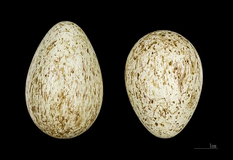
- Eurasian Wren · Troglodytes troglodytes · 475
- Northern Raven · Corvus corax · 459
- Coal tit · Periparus ater · 440
- Hooded Crow · Corvus cornix · 427
- Common Blackbird · Turdus merula · 427
- Meadow Pipit · Anthus pratensis · 418
- Western Jackdaw · Coloeus monedula · 396
- Common Wood Pigeon · Columba palumbus · 389
- Eurasian Magpie · Pica pica · 385
- White-tailed bumblebee · Bombus lucorum · 384
+18 more species
- Mallard · Anas platyrhynchos · 374
- Eurasian blue tit · Cyanistes caeruleus · 360
- Grey Wagtail · Motacilla cinerea · 356
- Goldcrest · Regulus regulus · 347
- Great tit · Parus major · 347
- White Wagtail · Motacilla alba · 334
- Barn Swallow · Hirundo rustica · 317
- Willow Warbler · Phylloscopus trochilus · 310
- Speckled Wood · Pararge aegeria · 257
- Eurasian Treecreeper · Certhia familiaris · 241
- Willow Grouse · Lagopus lagopus · 236
- Meadow brown · Maniola jurtina · 221
- Mistle Thrush · Turdus viscivorus · 212
- Song Thrush · Turdus philomelos · 211
- Grayling · Hipparchia semele · 210
- European Stonechat · Saxicola rubicola · 192
- Eurasian Jay · Garrulus glandarius · 191
- Eurasian Blackcap · Sylvia atricapilla · 187
Records: GBIF.org (CC-BY). Names: Wikidata (CC0), GBIF. Photos: Wikimedia Commons.
Conservation challenges
The primary purpose of the site is to preserve its natural habitats and the biodiversity they support. The species recorded (Biodiversity tab) reflect its ecological value. The designations it holds frame its management and the control of land use.
According to Global Forest Change data (University of Maryland, Global Forest Watch), about 1,280 ha of tree cover were lost within the boundary between 2001 and 2023 (6% of its area), peaking in 2001 and 2007. These losses include logging, storms and fires, and do not account for regrowth. According to the European CORINE Land Cover inventory (Copernicus), land cover changed on about 328 ha of the site between 1990 and 2018 (2% of its area): wetlands shrank by 328 ha, mostly giving way to forest, while forest grew by 328 ha, mostly at the expense of wetlands. Forest felling and regrowth add about 830 ha in total over the period. Since 2016, the European EFFIS system (Copernicus) has mapped 28 fires here, burning about 1,286 ha within the boundary; the largest, in June 2018 (near Calary), covered 250 ha. At night, the area gives off virtually no artificial light detectable from space (NASA VIIRS Black Marble composite, 2016). According to the Natura 2000 forms, of 12 assessed habitats of European interest, 2 are in excellent condition and 1 in average or reduced condition. According to the Water Framework Directive assessment (2022 river basin management plans, data 2016–2021), 64% of the 187 km of rivers assessed within the site are in good or high ecological status. Other assessed water bodies: lakes, 5 of 6 in good ecological status or better. Since 2000, 6 invasive alien species have been recorded within the site (GBIF observations), 2 of them listed as of Union concern under EU Regulation 1143/2014. Among them: Cervus nippon (Sika deer), Sciurus carolinensis (Eastern gray squirrel) and Rhododendron ponticum (Rhododendron).
Pressure indicators
Tree cover lost
1,282 ha
2001–2023 · 6% of the area
20012023
Fires since 2016
1,286 ha
burned within the boundary (28 mapped fires)
- 2018 · Calary · 250 ha
- 2026 · Powerscourt · 159 ha
- 2019 · Blessington · 126 ha
Light at night
0%
of the area gives off artificial light visible from space
DarkLit
Land cover change
328 ha
changed cover, 1990–2018 · CORINE · 2% of the area
- −328 ha · wetlands
- +328 ha · forest
forest felling and regrowth: 830 ha in total
Rivers and lakes
64%
of the 187 km of assessed rivers in good or high ecological status · WFD 2022
Lakes: 5 of 6 good or better
assessments 2016–2021
Invasive alien species
6
incl. 2 of EU concern · since 2000
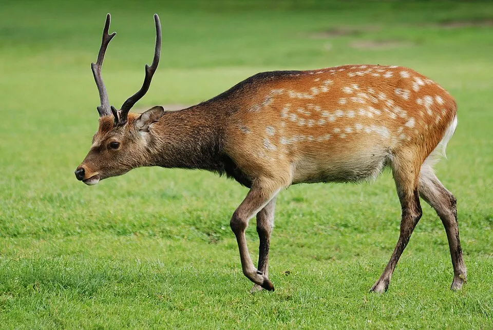 Sika deer
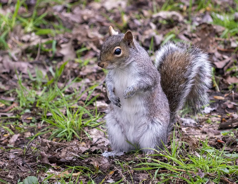 Eastern gray squirrelEU
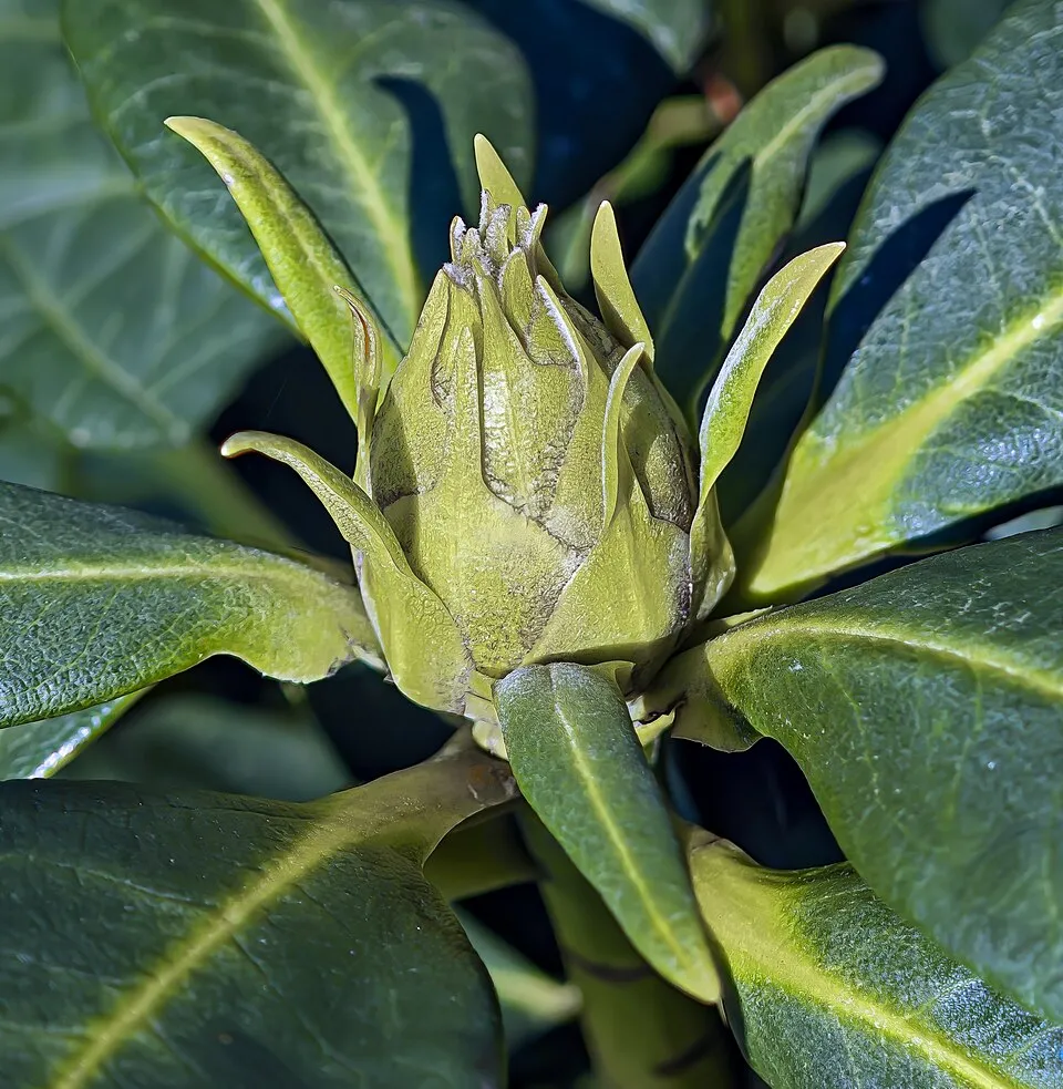 Rhododendron
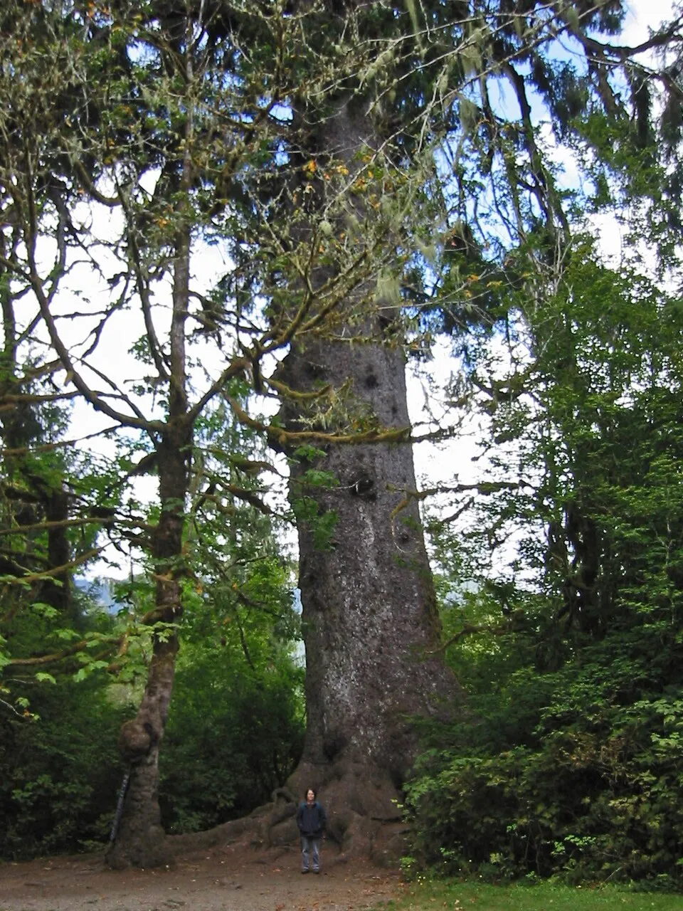 Sitka Spruce
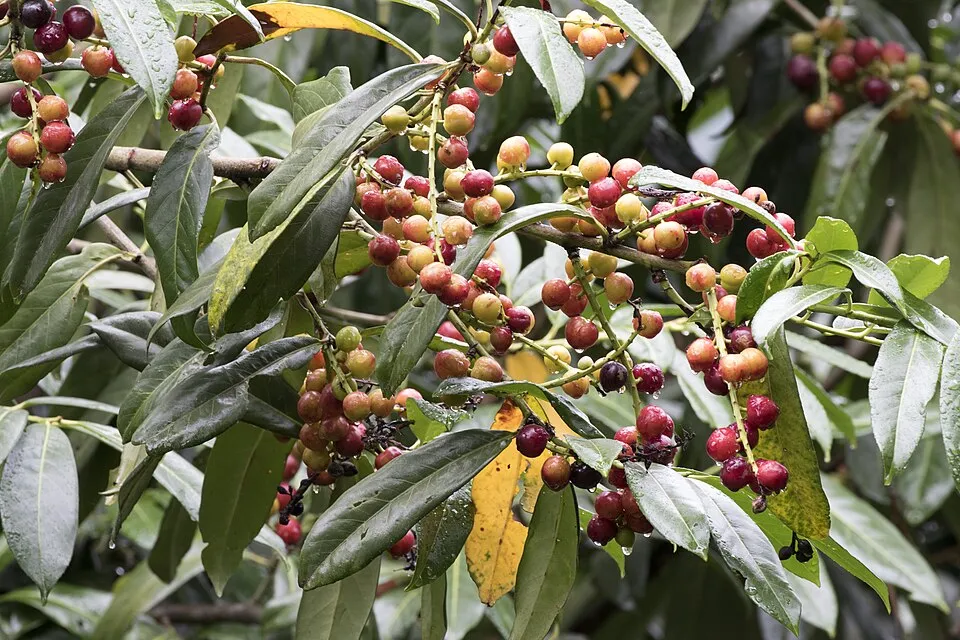 Cherry laurel
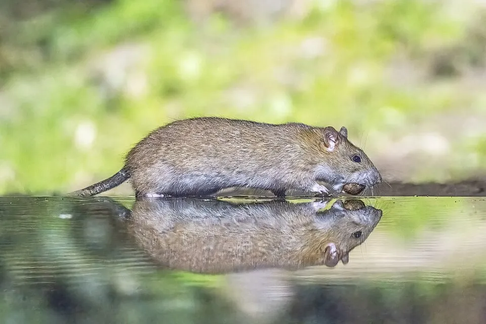 Brown rat
Photos: Sika deer © Lilly M · CC BY-SA 3.0; Eastern gray squirrel © Dominic Nelson · CC BY-SA 4.0; Rhododendron © Didier Descouens · CC BY-SA 4.0; Sitka Spruce © Wsiegmund · CC BY 2.5; Cherry laurel © Zeynel Cebeci · CC BY-SA 4.0; Brown rat © Charles J. Sharp · CC BY-SA 4.0
Sources: Global Forest Change (Hansen et al., University of Maryland, via Global Forest Watch, CC-BY 4.0); EFFIS, European Commission / Copernicus; NASA Black Marble 2016 (public domain); CORINE Land Cover 2018 (Copernicus) or MODIS.
CORINE Land Cover Change 1990–2018: generated using European Union's Copernicus Land Monitoring Service information (EEA), aggregated by Parkavela; DOI 10.2909/f30f1000-7cf8-43bb-872c-5eb093911b24.
Ecological status of water bodies: European Environment Agency, WISE – Water Framework Directive, 3rd river basin management plans (2022), CC BY 4.0. Official national classification, not comparable between countries.
Invasive alien species: Global Register of Introduced and Invasive Species (ISSG, CC BY 4.0); Union list, Regulation (EU) 1143/2014 (INBO, CC0); GBIF.org records (CC0 / CC BY 4.0), at least 2 per species.
Practical information
Cities and airport
- Dublin
13 km as the crow flies - Airport: Dublin (DUB)
21 km as the crow flies
Visitor information
- Information Office & Museum
within the site - Blessington Tourist Information
3 km from the site boundary
Parking
10 public car parks listed within the site
Sorrel Hill Car ParkGlendalough Upper LakeGlendaloughGlenmacnass Waterfall
Things to see
1 waterfall · 5 lakes and ponds
- Poulanass Waterfall
waterfall - Kelly's Lough
lake or pond · 590 m - Lough Firrib
lake or pond · 650 m - Lough Ouler
lake or pond - Lower Lake
lake or pond
Hiking
11 waymarked routes listed, including:
E 8Wicklow WayMiners' Way
Trail difficulty
- T2 · mountain hiking · 95% · 135 km
- T3–T6 · demanding or alpine hiking · 5% · 5 km
143 km graded out of 271 km of paths
SAC scale (T1–T6) © OpenStreetMap contributors (ODbL): indicative only, check with the park.
Data © OpenStreetMap contributors (ODbL) · Wikidata (CC0)
Waymarked hiking routes
E8 European long distance path E8 - part Ireland
13.4 km within the site ↗ 78 m↘ 431 m 137–560 m
MRW Miners' Way
10.2 km within the site ↗ 492 m↘ 207 m 139–597 m
up to T2 · mountain hiking
Tracks © OpenStreetMap contributors (ODbL), clipped to the boundary; elevation gain and profiles computed on the longest section from Mapzen Terrain Tiles (≈ 30 m), indicative only. Indicative difficulty (SAC scale, OpenStreetMap, via Waymarked Trails): check with the park.
Access and visiting
The nearest railway station is Woodbrook, about 8 km from the site boundary. Nearest towns of over 50,000 people, as the crow flies: Dublin (13 km). Nearest airport: Dublin (DUB), about 21 km away. About 1.4 million people live within 20 km of the site boundary, 460,000 of them within 10 km; some 260 people are estimated to live inside (GHSL estimate, 2020). This population has grown by about 23% since 2000. Visitor information on site: Information Office & Museum and Blessington Tourist Information. Public car parks listed within the site: 10, including Sorrel Hill Car Park, Glendalough Upper Lake and Glendalough. Waymarked hiking routes listed in OpenStreetMap: 11, including E 8, Wicklow Way and Miners' Way. Of the roughly 140 km of paths with a difficulty grade in OpenStreetMap, 95% are mountain hiking (T2) and 5% demanding or alpine hiking (T3–T6). This is indicative only: check with the park. To see: 1 waterfall and 5 lakes and ponds, including Poulanass Waterfall, Kelly's Lough (590 m), Lough Firrib (650 m) and Lough Ouler. To plan a visit (access, opening periods, visitor rules), it is best to consult the official information from the managing body and the official website listed in this page's sources.
Source: OpenStreetMap (ODbL), Wikidata (CC0), October 2026.
Built heritage
According to Wikidata, 3 monuments with National Monument status in Ireland stand within the boundary. Examples include “Glendalough”, “Round tower” in Camaderry and “Seefin Passage Tomb” in Blessington.
1 religious building1 castle or fortification
-
Glendalough
-
Round tower
Camaderry · 12th c. -
Seefin Passage Tomb
Blessington
Source: Wikidata (CC0), monuments in each country’s official heritage protection registers, at national or regional level. Each item links to its Wikidata entry.
When to visit
Best time to visit: from June to September, with average temperatures of 11 to 14 °C and moderate rainfall. Day length ranges from about 7 h 35 min in December to 16 h 54 min in June. Wildlife records published on GBIF peak for birds (May), plants (May), butterflies and moths (July and August), dragonflies (July and August) and mammals (May). These peaks also reflect when observers are most active.
Source: Copernicus ERA5-Land (C3S), monthly averages 1996–2025 at the representative point, temperatures adjusted for elevation.
Contains modified Copernicus Climate Change Service information 2026. Neither the European Commission nor ECMWF is responsible for any use that may be made of the Copernicus information or data it contains.
Wildlife records calendar
JFMAMJJASOND
Birds
Plants
Butterflies & moths
Dragonflies
Mammals
Monthly records published on GBIF (CC-BY), relative to the busiest month; also reflects observer activity.
Gallery
© Joe King · CC BY-SA 3.0
© Denzillacey · CC BY-SA 4.0
© Jonjobaker · CC BY-SA 4.0
© Subhrambar · CC BY-SA 4.0
© Jonjobaker · CC BY-SA 4.0
© Rob Hurson · CC BY-SA 4.0
Sources and licences
- Wikidata: Q3364505
- OpenStreetMap: relation 4267299
- Official website: http://www.wicklowmountainsnationalpark.ie/
- Wikipedia: en.wikipedia.org/wiki/Wicklow_Mountains_National_Park
- Natura 2000: IE0002122
References
- cds.climate.copernicus.eu: climate · CC-BY-4.0
- registry.opendata.aws: elevation of the reference point, detailed relief · PD
- land.copernicus.eu: land cover, land cover change, sea share · COPERNICUS
- doi.org: population around the site · CC-BY-4.0
- wikidata.org: official area, establishment date, protected heritage, nearby cities and airport, access and peaks, lake depths, places to see, official website · CC0-1.0
- eea.europa.eu: bathing water quality, ecological status of waters · CC-BY-4.0
- en.eurovelo.com: EuroVelo cycle routes · ODbL-1.0
- cycling.waymarkedtrails.org: cycle routes · ODbL-1.0
- opentopodata.org: elevations · PD
- forest-fire.emergency.copernicus.eu: wildfires · COPERNICUS
- globalforestwatch.org: tree cover loss · CC-BY-4.0
- gbif.org: seasonality of sightings, invasive alien species, observed species · CC-BY-4.0
- europe-geology.eu: geology · CC-BY-4.0
- hydrosheds.org: lakes · CC-BY-4.0
- natura2000.eea.europa.eu: Natura 2000 habitats and species · CC-BY-4.0
- openstreetmap.org: official name, access and peaks, trail difficulty, wheelchair access · ODbL-1.0
- earthobservatory.nasa.gov: night light · PD
- hiking.waymarkedtrails.org: route difficulty · ODbL-1.0
- nsidc.org: snow cover · PD
- wikidata.org: Wikipedia article · CC-BY-SA-4.0
Data © OpenStreetMap contributors (ODbL), Wikidata (CC0) and the sources cited.