United Kingdom · Terrestrial
Eryri National Park
National park of 214,200 hectares in the United Kingdom, established in 1951.
Overview
National park of 214,200 hectares in the United Kingdom, established in 1951.
Eryri National Park is located in the United Kingdom (Europe). It is a predominantly terrestrial area. Established in 1951, it covers about 214,200 hectares.
Protections and designations
Ramsar site
Dark Sky Place
Protected as a national park. International labels and designations: Ramsar site (“Llyn Idwal”, “Llyn Tegid”) and Dark Sky Place.
In our collections
Frequently asked questions
Where is Eryri National Park?
In the United Kingdom (Europe). Representative point: 52.9333° N, 3.9333° W.
How large is Eryri National Park?
About 214,200 hectares (2,142 km²). It is the 4th largest of the 15 national parks in the United Kingdom covered by Parkavela.
When was Eryri National Park established?
In 1951.
What habitats and landscapes does Eryri National Park include?
A terrestrial area, with mountains and coasts.
What rocks lie beneath Eryri National Park?
According to the European 1:1 million geological map (EGDI), recent unconsolidated deposits – unconsolidated deposits (50% of sampled points) and peat (13%) – cover most of the site; among the consolidated rocks: mudstones (25%). These are mostly sedimentary rocks. The geological units date mainly from the Quaternary (63% of sampled points).
What is the highest point of Eryri National Park?
Mont Snowdon, at 1,085 m (OpenStreetMap).
What are the main summits of Eryri National Park?
Mont Snowdon (1,085 m), Garnedd Ugain (1,065 m), Carnedd Llewelyn (1,064 m), Carnedd Dafydd (1,044 m) and Glyder Fawr (1,001 m) (OpenStreetMap).
Which international labels apply to Eryri National Park?
Ramsar site (“Llyn Idwal”, “Llyn Tegid”) and Dark Sky Place.
When is the best time to visit Eryri National Park?
Best time to visit: from May to October, with average temperatures of 10 to 15 °C and moderate rainfall.
What is there to see in Eryri National Park?
37 waterfalls and 150 lakes and ponds, including Swallow Falls, Llyn Bochlwyd, Dolgoch Falls and Llyn Cwm Ffynnon (Wikidata).
Are there historic monuments in Eryri National Park?
Yes. According to Wikidata, 14 monuments listed at the highest grade in the United Kingdom (Grade I; Category A in Scotland) stand within the boundary. For example: “Church of St Mary and St Egryn” in Llanegryn, “Dolwyddelan Castle” in Dolwyddelan and “Waterloo Bridge”.
What is the nearest large city to Eryri National Park?
Nearest towns of over 50,000 people, as the crow flies: Wrexham County Borough (37 km) and Chester (53 km). Nearest airport: Liverpool John Lennon (LPL), about 64 km away.
How can I reach Eryri National Park by train?
Aberdyfi railway station lies within the site.
Where can I get visitor information on site?
Visitor Information Centre, Harlech Castle Visitor Centre and Cader Idris Visitor Center.
Are there waymarked hiking trails in Eryri National Park?
Yes. Waymarked hiking routes listed in OpenStreetMap: 39, including Cambrian Way, Ceredigion Coast Path, Llwybr Llechi Eryri and North Wales Path. The “Cambrian Way” route runs for about 156 km through the site, with some 2,870 m of ascent on its longest section.
Which species can be seen in Eryri National Park?
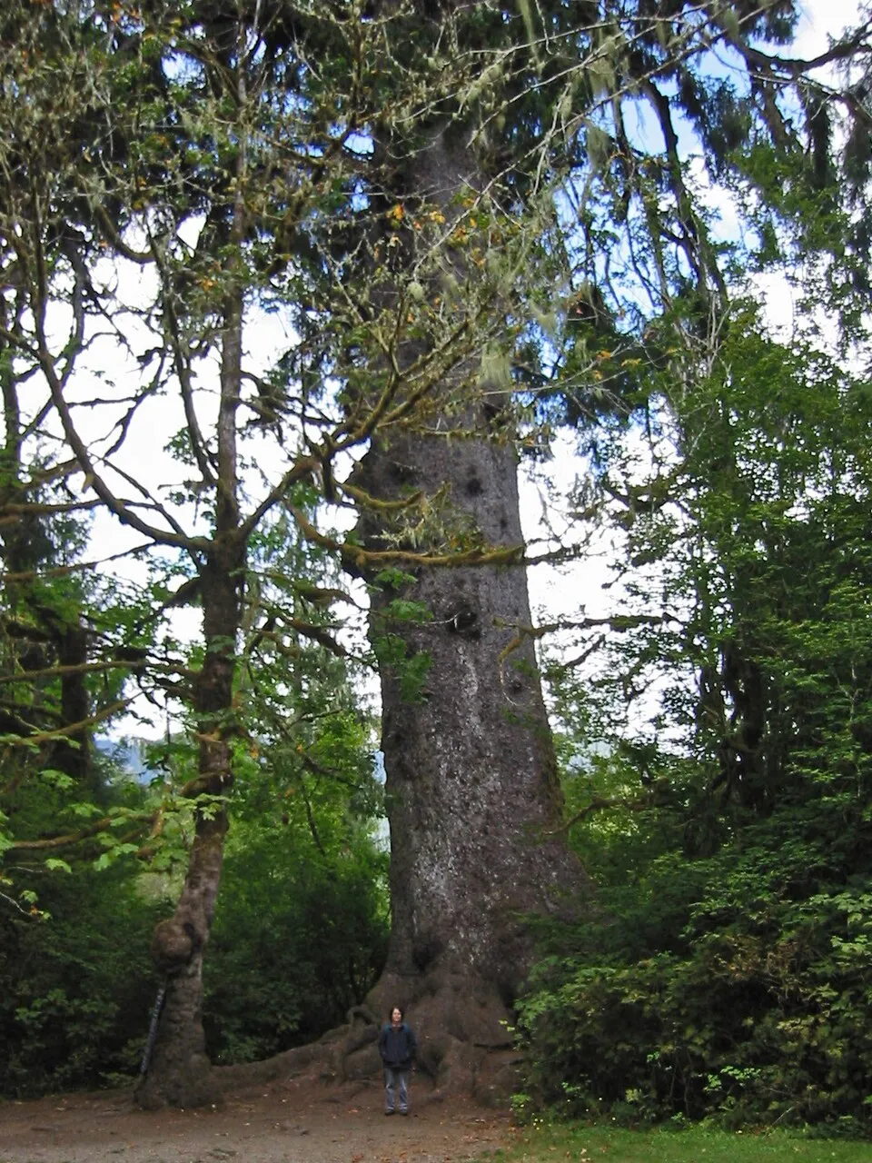
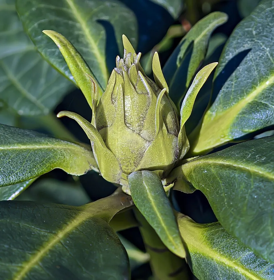
Among the species most often recorded on GBIF are Picea sitchensis (Sitka Spruce), Rhododendron ponticum (Rhododendron), Reynoutria japonica (Japanese Knotweed) and Rhinolophus hipposideros (Lesser horseshoe bat).
What is the official website of Eryri National Park?
© OpenStreetMap
Download the boundary: GeoJSON · GPX Boundary © OpenStreetMap contributors (ODbL).
Geography
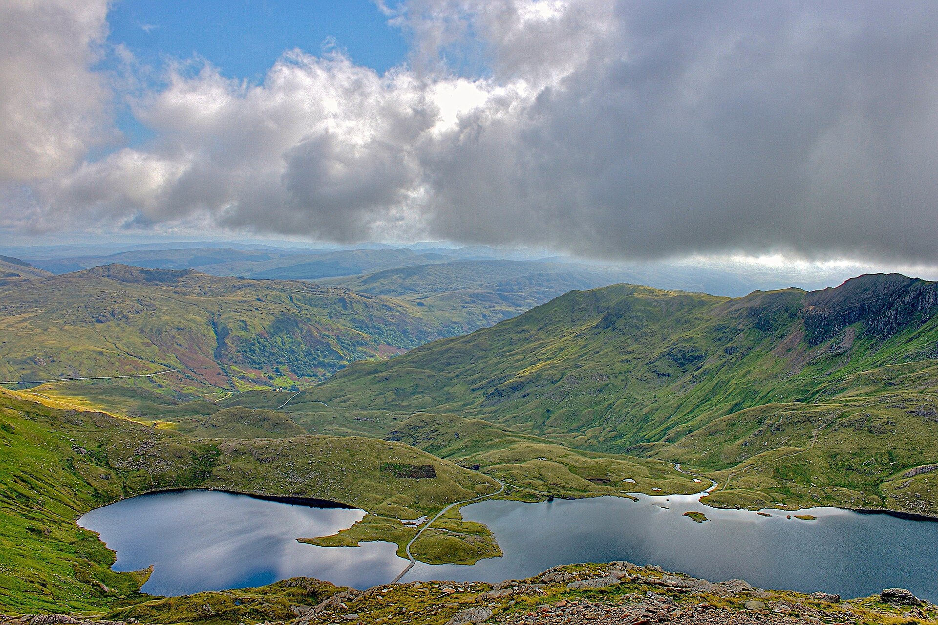
The representative point of the site lies at around 265 m above sea level. Over the 1996–2025 period, the mean annual temperature is about 8.9 °C and total precipitation reaches roughly 1,384 mm per year. The warmest month is usually July, the coolest January, and the wettest December. According to the European 1:1 million geological map (EGDI), recent unconsolidated deposits – unconsolidated deposits (50% of sampled points) and peat (13%) – cover most of the site; among the consolidated rocks: mudstones (25%). These are mostly sedimentary rocks. The geological units date mainly from the Quaternary (63% of sampled points). The site contains 28 lakes larger than 10 ha, totalling 19.8 km² of water; the largest, Llyn Trawsfynydd, covers 4.9 km² (HydroLAKES). Llyn Llydaw (45 ha) is 58 m deep (Wikidata).
Area
- Area
- 214,200 ha
- Elevation
- 265 m
- Median elevation
- 311 m
- Mean slope
- 10°
- Lakes over 10 ha
- 28 (19.8 km²)
- Coordinates
- 52.9333, -3.9333
Terrain: Mapzen Terrain Tiles (SRTM, USGS) · Lakes: HydroLAKES (Messager et al. 2016, hydrosheds.org, CC BY 4.0) · depths: Wikidata (CC0)
Elevation bands
- below 500 m 87%
- 500–1,000 m 13%
share of the site in each elevation band (smoothed terrain model: summits are rounded off) · Terrain: Mapzen Terrain Tiles (SRTM, USGS)
Bedrock
- Unconsolidated deposits 50 %
- Mudstones 25 %
- Peat 13 %
- Granites 6 %
- Volcanic tuffs 6 %
Sedimentary rocks 88 % · Igneous rocks 13 % · Main age: Quaternary (63%)
Source: EGDI 1:1M geological map (EuroGeoSurveys and national geological surveys), CC BY 4.0 · 16 sampled points within the site.
Main summits
- Mont Snowdon1,085 m
- Garnedd Ugain1,065 m
- Carnedd Llewelyn1,064 m
- Carnedd Dafydd1,044 m
- Glyder Fawr1,001 m
- Glyder Fach994 m
- Pen Yr Ole Wen978 m
- Foel Grach976 m
- Castell Y Gwynt972 m
- Yr Elen962 m
Data © OpenStreetMap contributors (ODbL)
Climate
● Mean temperature (°C) · ▮ Precipitation (mm)
Source: Copernicus ERA5-Land (C3S, doi:10.24381/cds.68d2bb30), monthly averages 1996–2025 interpolated to the representative point, temperatures adjusted for elevation.
Contains modified Copernicus Climate Change Service information 2026. Neither the European Commission nor ECMWF is responsible for any use that may be made of the Copernicus information or data it contains.
Natural habitats
According to CORINE Land Cover (2018), the site is mainly made up of grassland and meadows (41%), heath and scrub (31%) and forests (14%). The site borders the coast. Elevation ranges from sea level to 1,085 m (highest point: Mont Snowdon). Median elevation is 311 m, and 13% of the site lies above 500 m (SRTM elevation model).
Biodiversity
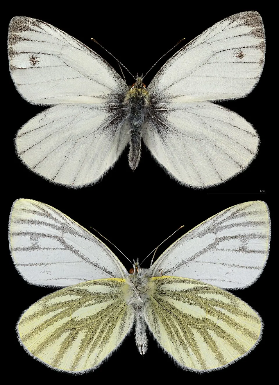
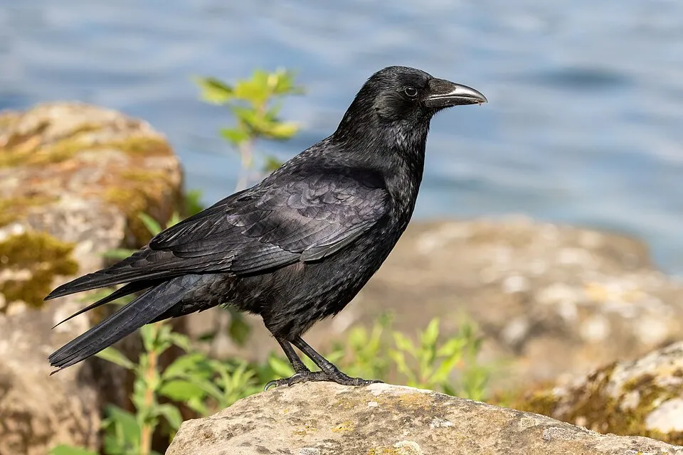
Based on occurrences aggregated by GBIF, several species are regularly recorded within the site. Among the most frequent are Picea sitchensis (Sitka Spruce), Rhododendron ponticum (Rhododendron), Reynoutria japonica (Japanese Knotweed) and Rhinolophus hipposideros (Lesser horseshoe bat). The full list of documented taxa is shown below.
Species to look out for


Mammal
Lesser horseshoe bat
Rhinolophus hipposideros3,489 records © Lylambda (lylambda@gmail.com) · CC BY-SA 3.0
Observed species
Occurrences documented via GBIF; they are neither an exhaustive inventory nor proof of current presence.
- Sitka Spruce · Picea sitchensis · 10137
- Rhododendron · Rhododendron ponticum · 6103
- Japanese Knotweed · Reynoutria japonica · 4029
- Lesser horseshoe bat · Rhinolophus hipposideros · 3489
- Green-veined white · Pieris napi · 2999
- Carrion crow · Corvus corone · 2406
- Meadow brown · Maniola jurtina · 2358
- Brown Trout · Salmo trutta · 2186
- European robin · Erithacus rubecula · 2182
- Common Blackbird · Turdus merula · 2160
- European Herring Gull · Larus argentatus · 1966
- Common Buzzard · Buteo buteo · 1622
+18 more species
- Eurasian Chaffinch · Fringilla coelebs · 1556
- Tormentil · Potentilla erecta · 1540
- Eurasian blue tit · Cyanistes caeruleus · 1533
- Atlantic salmon · Salmo salar · 1511
- Sweet vernalgrass · Anthoxanthum odoratum · 1444
- Common Wood Pigeon · Columba palumbus · 1417
- Small Heath · Coenonympha pamphilus · 1368
- Western Jackdaw · Coloeus monedula · 1353
- Colonial bentgrass · Agrostis capillaris · 1264
- Yorkshire-fog · Holcus lanatus · 1233
- Great tit · Parus major · 1213
- Soft rush · Juncus effusus · 1209
- Eurasian Magpie · Pica pica · 1200
- Common polypody · Polypodium vulgare · 1197
- Eurasian Wren · Troglodytes troglodytes · 1180
- Northern Raven · Corvus corax · 1179
- Bilberry · Vaccinium myrtillus · 1172
- Himalayan Balsam · Impatiens glandulifera · 1150
Records: GBIF.org (CC-BY). Names: Wikidata (CC0), GBIF. Photos: Wikimedia Commons.
Conservation challenges
The primary purpose of the site is to preserve its natural habitats and the biodiversity they support. The species recorded (Biodiversity tab) reflect its ecological value. The designations it holds frame its management and the control of land use.
According to Global Forest Change data (University of Maryland, Global Forest Watch), about 11,480 ha of tree cover were lost within the boundary between 2001 and 2023 (5% of its area), peaking in 2004 and 2009. These losses include logging, storms and fires, and do not account for regrowth. Apart from forest felling and regrowth (about 11,380 ha in total), land cover remained almost unchanged between 2000 and 2018 according to CORINE Land Cover; only some 41 ha were built over. Since 2016, the European EFFIS system (Copernicus) has mapped 59 fires here, burning about 3,942 ha within the boundary; the largest, in July 2026 (near Gwynedd), covered 1,050 ha. At night, the area gives off virtually no artificial light detectable from space (NASA VIIRS Black Marble composite, 2016). Since 2000, 12 invasive alien species have been recorded within the site (GBIF observations), 12 of them on the European Union's list. Among them: Reynoutria japonica (Japanese Knotweed), Impatiens glandulifera (Himalayan Balsam) and Sciurus carolinensis (Eastern gray squirrel).
Pressure indicators
Tree cover lost
11,477 ha
2001–2023 · 5% of the area
20012023
Fires since 2016
3,942 ha
burned within the boundary (59 mapped fires)
- 2026 · Gwynedd · 1,050 ha
- 2025 · Gwynedd · 535 ha
- 2022 · N.A. · 199 ha
Light at night
< 1%
of the area gives off artificial light visible from space
DarkLit
Built-up land
< 1%
buildings, business areas, roads, quarries
Land cover change
< 0.5%
of the area changed, 2000–2018 · CORINE
forest felling and regrowth: 11,380 ha in total
Invasive alien species
12
incl. 12 on the EU list · since 2000
Japanese KnotweedEU
 Himalayan BalsamEU
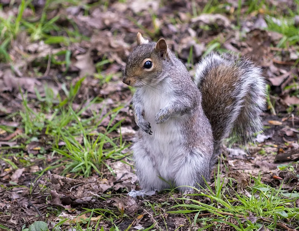 Eastern gray squirrelEU
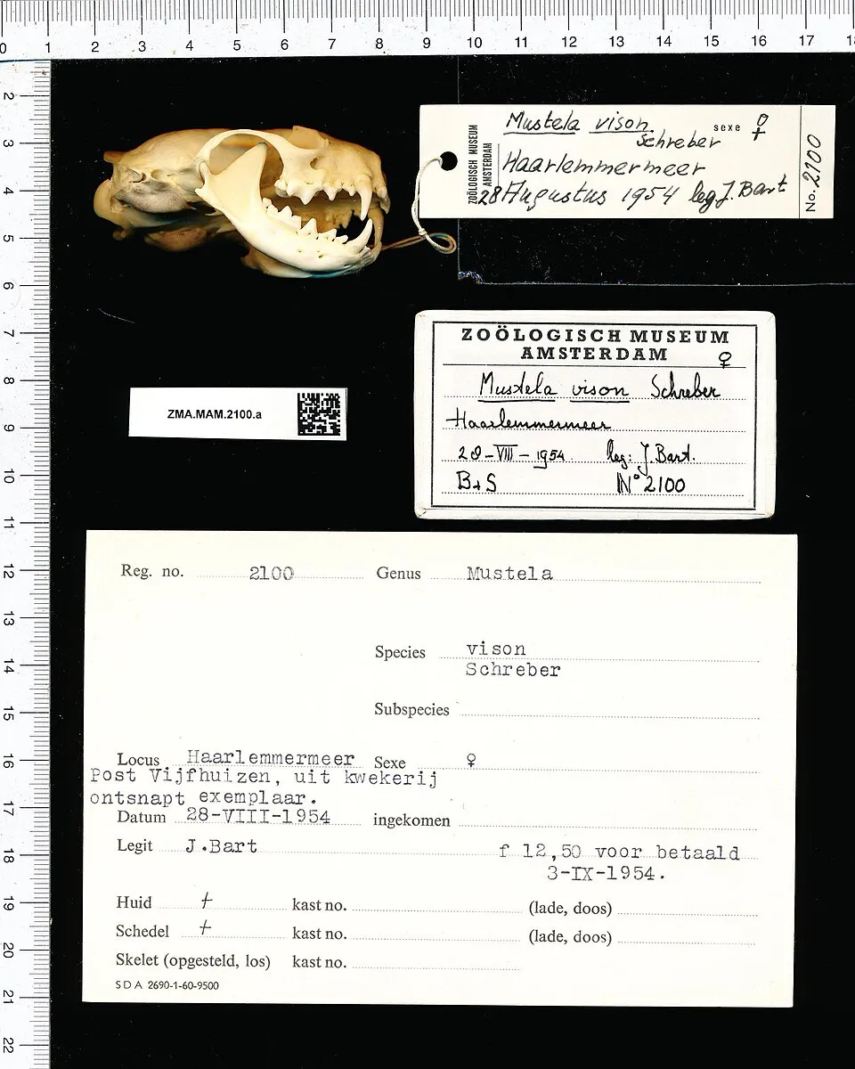 American minkEU
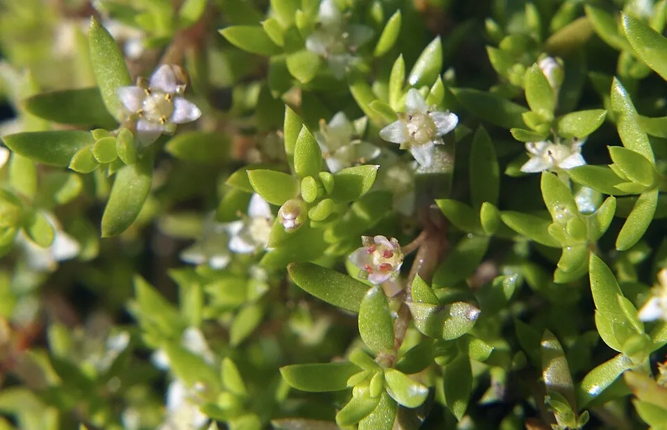 New Zealand PygmyweedEU
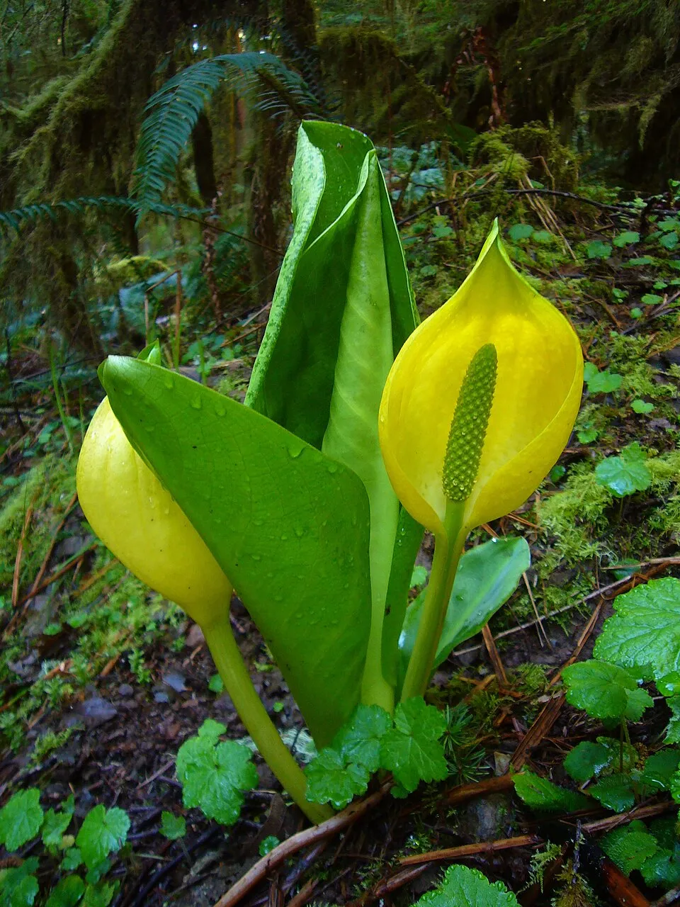 American skunkcabbageEU
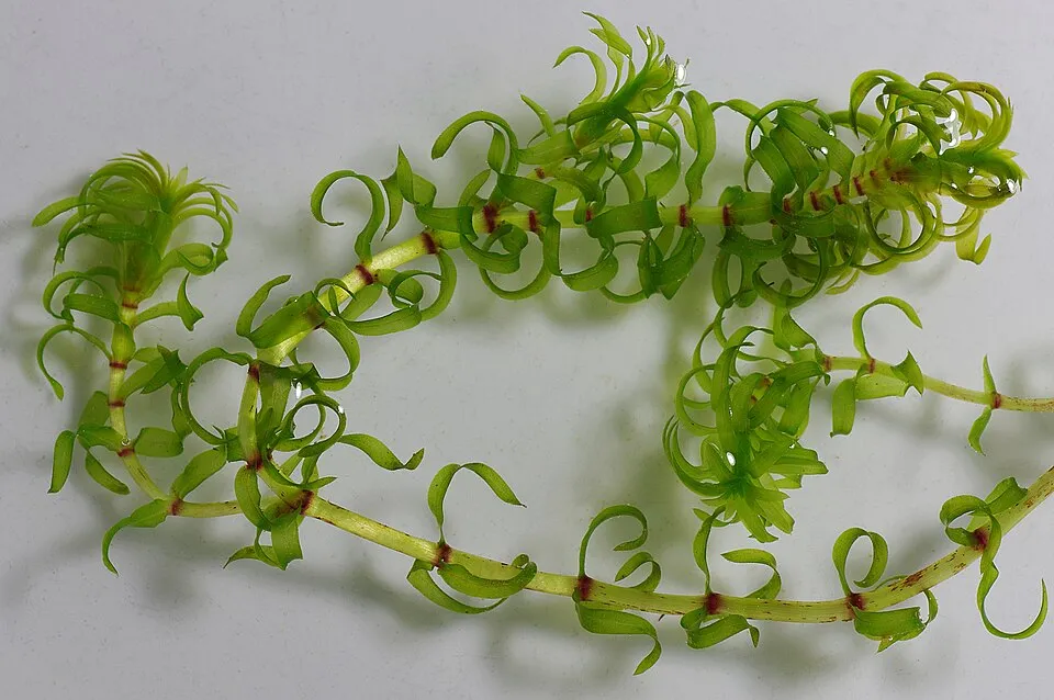 Western waterweedEU
 Chilean gunneraEU
Photos: Japanese Knotweed © W.carter · CC0-1.0; Himalayan Balsam © Guptaele · CC BY-SA 4.0; Eastern gray squirrel © Dominic Nelson · CC BY-SA 4.0; American mink © Schreber · CC0-1.0; New Zealand Pygmyweed © ashley BALSAM baz · CC BY 2.0; American skunkcabbage © Martin Bravenboer · Public domain; Western waterweed © Christian Fischer · CC BY-SA 3.0; Chilean gunnera © Margaret Donald · CC BY-SA 2.0
Sources: Global Forest Change (Hansen et al., University of Maryland, via Global Forest Watch, CC-BY 4.0); EFFIS, European Commission / Copernicus; NASA Black Marble 2016 (public domain); CORINE Land Cover 2018 (Copernicus) or MODIS.
CORINE Land Cover Change 2000–2018: generated using European Union's Copernicus Land Monitoring Service information (EEA), aggregated by Parkavela; DOI 10.2909/f30f1000-7cf8-43bb-872c-5eb093911b24.
Invasive alien species: Global Register of Introduced and Invasive Species (ISSG, CC BY 4.0); Union list, Regulation (EU) 1143/2014 (INBO, CC0); GBIF.org records (CC0 / CC BY 4.0), at least 2 per species.
Practical information
Cities and airport
- Wrexham County Borough
37 km as the crow flies - Chester
53 km as the crow flies - Airport: Liverpool John Lennon (LPL)
64 km as the crow flies
Visitor information
- Visitor Information Centre
within the site - Harlech Castle Visitor Centre
within the site - Cader Idris Visitor Center
within the site - Hafod Eryri Summit Visitor Centre
within the site
Parking
511 public car parks listed within the site · 1 trailheads
LaybyGlasdirDol-y-Bont CommonLlyn Crafnant - Parc Coedwig Gwydyr Forest Park
Things to see
37 waterfalls · 150 lakes and ponds
- Swallow Falls
waterfall - Llyn Bochlwyd
lake or pond - Dolgoch Falls
waterfall - Llyn Cwm Ffynnon
lake or pond - Aber Falls
waterfall
Hiking
39 waymarked routes listed, including:
Cambrian WayCeredigion Coast PathLlwybr Llechi EryriNorth Wales PathWales Coast Path (Meirionnydd)
Trail difficulty
- T1 · easy hiking · 25% · 48 km
- T2 · mountain hiking · 60% · 120 km
- T3–T6 · demanding or alpine hiking · 15% · 31 km
198 km graded out of 2,616 km of paths
SAC scale (T1–T6) © OpenStreetMap contributors (ODbL): indicative only, check with the park.
By bike
EV2 · 61 km 82 National Cycle Network National Route 82 · 100 km8 Lôn Las Cymru · 51 km12 · 27 km13 Regional Route 13 · 19 km
+ 6 local loops
Signed cycle routes: this does not mean that cycling is allowed on footpaths.
Wheelchair access
- Betws-y-Coed Tourist Information
visitor information - King's Guard Trail
path - New Precipice Walk
path
accessible toilets: 19
Reported by OpenStreetMap contributors (ODbL); check with the park before visiting.
Data © OpenStreetMap contributors (ODbL) · Wikidata (CC0)
Contains information from EuroVelo GPX tracks downloaded from www.EuroVelo.com on 2026-10-22, which is made available here under the Open Database License (ODbL). EuroVelo® is a registered trademark of the ECF. Routes © OpenStreetMap contributors (ODbL), via Waymarked Trails
Waymarked hiking routes
Craflwyn, Hafod y Llan and Llyn Dinas walk, Craflwyn
11.5 km within the site ↗ 284 m↘ 257 m 54–313 m
Ysbyty Ifan and Cwm Eidda walk, Ysbyty
7.9 km within the site ↗ 274 m↘ 270 m 221–386 m
Tracks © OpenStreetMap contributors (ODbL), clipped to the boundary; elevation gain and profiles computed on the longest section from Mapzen Terrain Tiles (≈ 30 m), indicative only.
Access and visiting
Aberdyfi railway station lies within the site. Nearest towns of over 50,000 people, as the crow flies: Wrexham County Borough (37 km) and Chester (53 km). Nearest airport: Liverpool John Lennon (LPL), about 64 km away. About 290,000 people live within 20 km of the site boundary, 190,000 of them within 10 km; some 26,000 people are estimated to live inside (GHSL estimate, 2020). This population has grown by about 6% since 2000. Visitor information on site: Visitor Information Centre, Harlech Castle Visitor Centre and Cader Idris Visitor Center. Public car parks listed within the site: 511, including Layby, Glasdir and Dol-y-Bont Common. Waymarked hiking routes listed in OpenStreetMap: 39, including Cambrian Way, Ceredigion Coast Path, Llwybr Llechi Eryri and North Wales Path. Of the roughly 200 km of paths with a difficulty grade in OpenStreetMap, 25% are easy hiking (T1), 60% mountain hiking (T2) and 15% demanding or alpine hiking (T3–T6). This is indicative only: check with the park. The EuroVelo 2 cycle route (Capitals Route) crosses the site for about 61 km; 7 other signed cycle routes also pass through, including “82 National Cycle Network National Route 82” and “8 Lôn Las Cymru” (EuroVelo, OpenStreetMap). OpenStreetMap contributors list 3 wheelchair-accessible places, including Betws-y-Coed Tourist Information and King's Guard Trail; check with the park before visiting. To see: 37 waterfalls and 150 lakes and ponds, including Swallow Falls, Llyn Bochlwyd, Dolgoch Falls and Llyn Cwm Ffynnon. To plan a visit (access, opening periods, visitor rules), it is best to consult the official information from the managing body and the official website listed in this page's sources.
Source: OpenStreetMap (ODbL), Wikidata (CC0), October 2026.
Built heritage
According to Wikidata, 14 monuments listed at the highest grade in the United Kingdom (Grade I; Category A in Scotland) stand within the boundary. Among them are 11 religious buildings, 2 castles and fortifications and 1 bridge, lighthouse, mill or working building. Examples include “Church of St Mary and St Egryn” in Llanegryn, “Dolwyddelan Castle” in Dolwyddelan and “Waterloo Bridge”.
11 religious buildings2 castles and fortifications1 bridge, lighthouse, mill or working building
-
Church of St Mary and St Egryn
Llanegryn · 14th c. -
Dolwyddelan Castle
Dolwyddelan -
Waterloo Bridge
19th c. -
Cymer Abbey
Llanelltyd · 12th c. -
Harlech Castle
13th c. -
Gwydir Uchaf Chapel
Trefriw -
Llanrhychwyn Church
Trefriw · 12th c. -
Parish Church of St Tanwg
Llanfair · 14th c.
and 6 more
Source: Wikidata (CC0), monuments in each country’s official heritage protection registers, at national or regional level. Each item links to its Wikidata entry.
When to visit
Best time to visit: from May to October, with average temperatures of 10 to 15 °C and moderate rainfall. These averages apply to the site's representative point (265 m); higher up it is markedly cooler. Day length ranges from about 7 h 36 min in December to 16 h 53 min in June. Wildlife records published on GBIF peak for birds (May), plants (from June to September), butterflies and moths (July), dragonflies (June and July) and mammals (June). These peaks also reflect when observers are most active.
Source: Copernicus ERA5-Land (C3S), monthly averages 1996–2025 at the representative point, temperatures adjusted for elevation.
Contains modified Copernicus Climate Change Service information 2026. Neither the European Commission nor ECMWF is responsible for any use that may be made of the Copernicus information or data it contains.
Wildlife records calendar
JFMAMJJASOND
Birds
Plants
Butterflies & moths
Dragonflies
Mammals
Monthly records published on GBIF (CC-BY), relative to the busiest month; also reflects observer activity.
Gallery
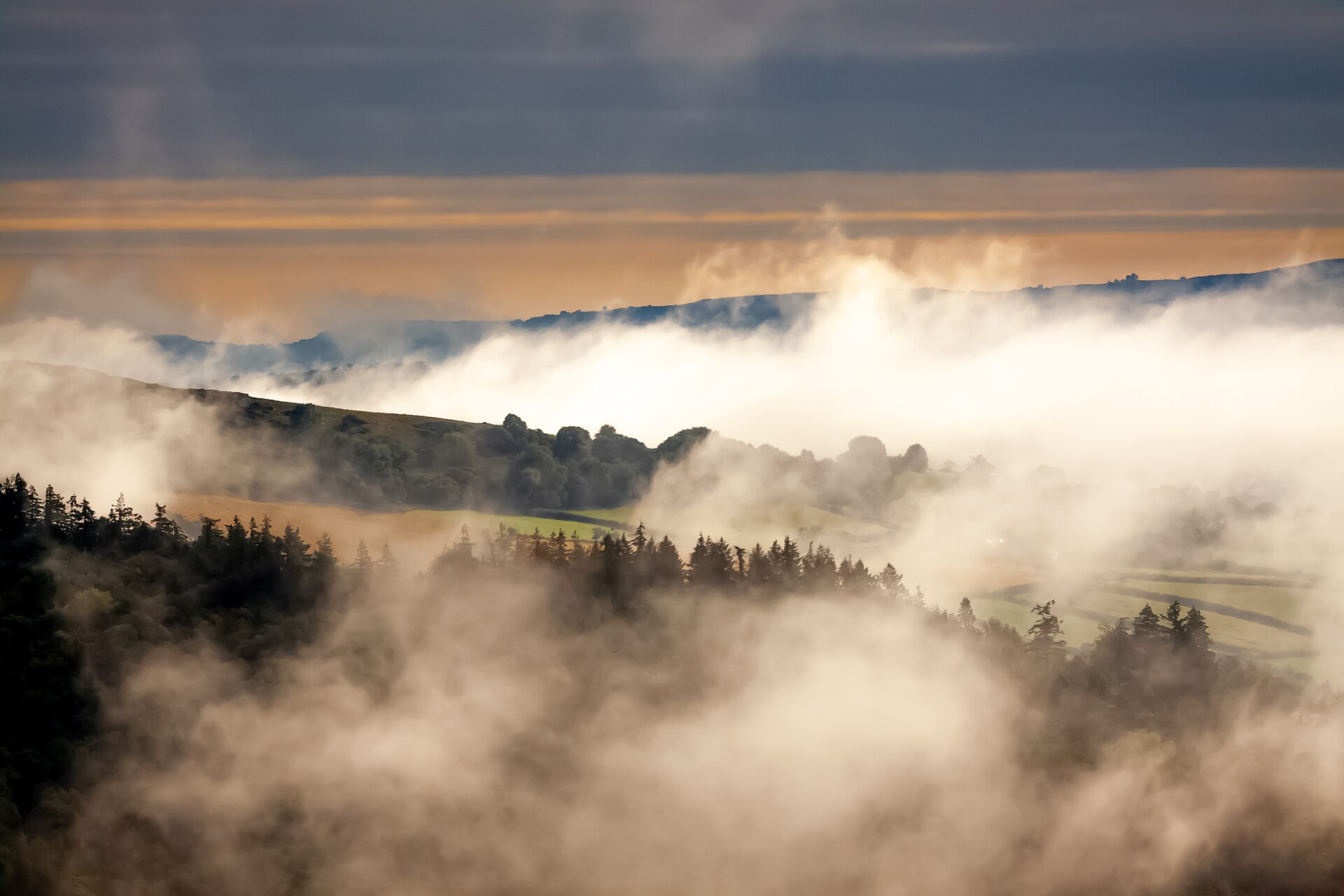
© Mike Peel (www.mikepeel.net). · CC BY-SA 4.0
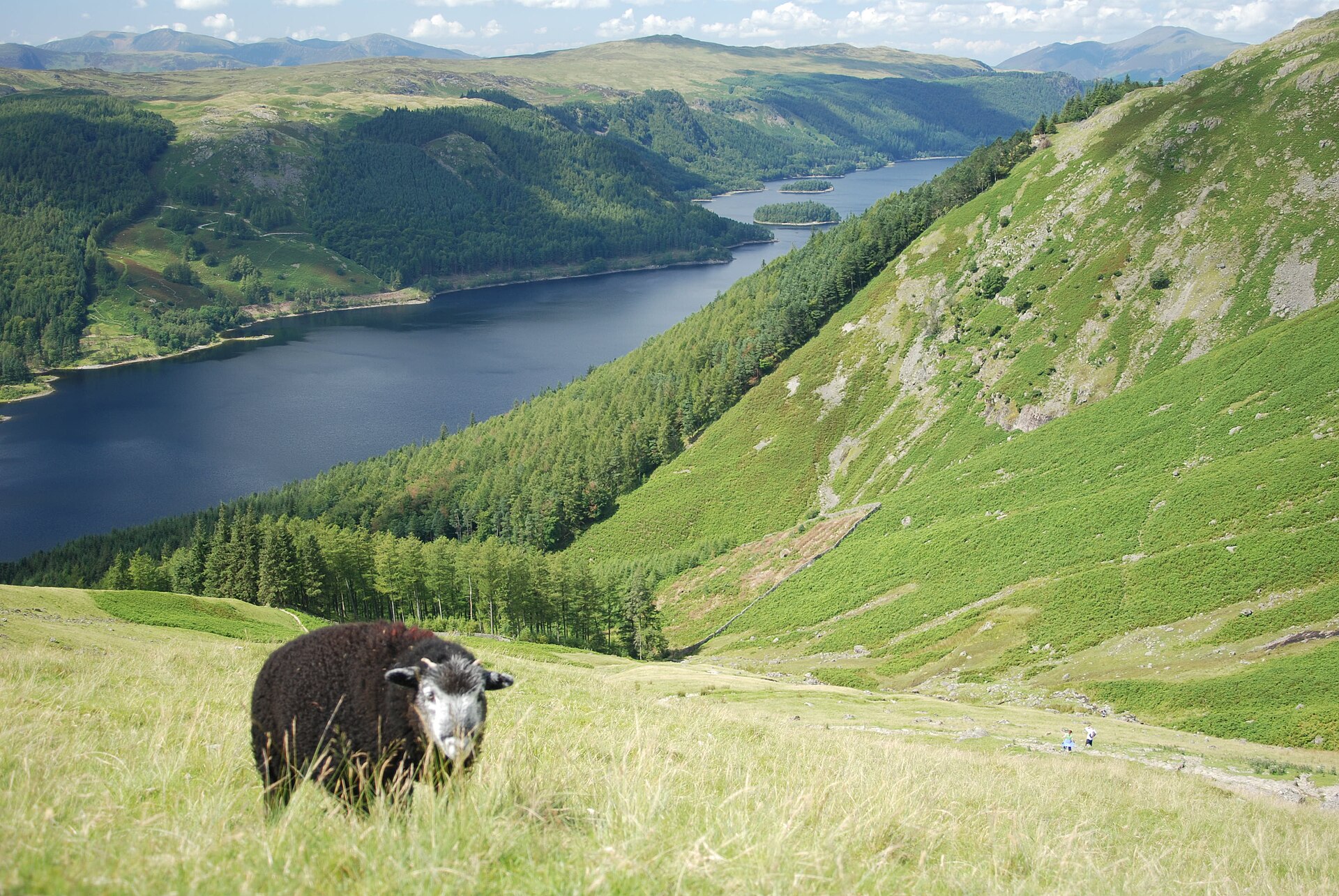
© Seraaron · CC BY-SA 4.0
© Badgernet · CC BY-SA 3.0
© JackPeasePhotography · CC BY 2.0
© xlibber · CC BY 2.0
© Lies Thru a Lens · CC BY 2.0
Sources and licences
- Wikidata: Q20888920
- OpenStreetMap: relation 287245
- Official website: https://www.eryri.llyw.cymru
- Wikipedia: en.wikipedia.org/wiki/Snowdonia_National_Park
- WDPA: 960
References
- cds.climate.copernicus.eu: climate · CC-BY-4.0
- registry.opendata.aws: elevation of the reference point, detailed relief · PD
- land.copernicus.eu: land cover, land cover change, sea share · COPERNICUS
- doi.org: population around the site · CC-BY-4.0
- wikidata.org: official area, establishment date, protected heritage, nearby cities and airport, access and peaks, lake depths, places to see, official website · CC0-1.0
- eea.europa.eu: bathing water quality · CC-BY-4.0
- en.eurovelo.com: EuroVelo cycle routes · ODbL-1.0
- cycling.waymarkedtrails.org: cycle routes · ODbL-1.0
- opentopodata.org: elevations · PD
- forest-fire.emergency.copernicus.eu: wildfires · COPERNICUS
- globalforestwatch.org: tree cover loss · CC-BY-4.0
- gbif.org: seasonality of sightings, invasive alien species, observed species · CC-BY-4.0
- europe-geology.eu: geology · CC-BY-4.0
- hydrosheds.org: lakes · CC-BY-4.0
- openstreetmap.org: official name, access and peaks, trail difficulty, wheelchair access · ODbL-1.0
- earthobservatory.nasa.gov: night light · PD
- hiking.waymarkedtrails.org: route difficulty · ODbL-1.0
- nsidc.org: snow cover · PD
- wikidata.org: Wikipedia article · CC-BY-SA-4.0
Data © OpenStreetMap contributors (ODbL), Wikidata (CC0) and the sources cited.