Switzerland · Terrestrial
Chasseral Regional Park
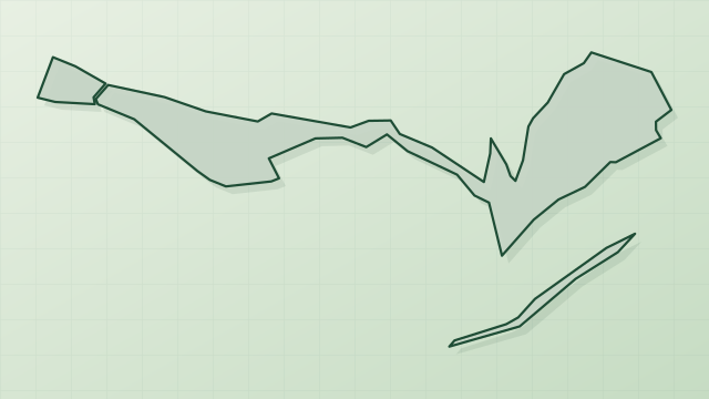
Regional nature park of 54,837 hectares in Switzerland.
Overview
Regional nature park of 54,837 hectares in Switzerland.
Chasseral Regional Park is a regional nature park in Switzerland (Europe). It is a predominantly terrestrial area. It covers about 54,837 hectares.
In our collections
Frequently asked questions
Where is Chasseral Regional Park?
In Switzerland (Europe). Representative point: 47.1525° N, 7.1303° E.
How large is Chasseral Regional Park?
About 54,837 hectares (548 km²). It is the 4th largest of the 17 regional parks in Switzerland covered by Parkavela.
What habitats and landscapes does Chasseral Regional Park include?
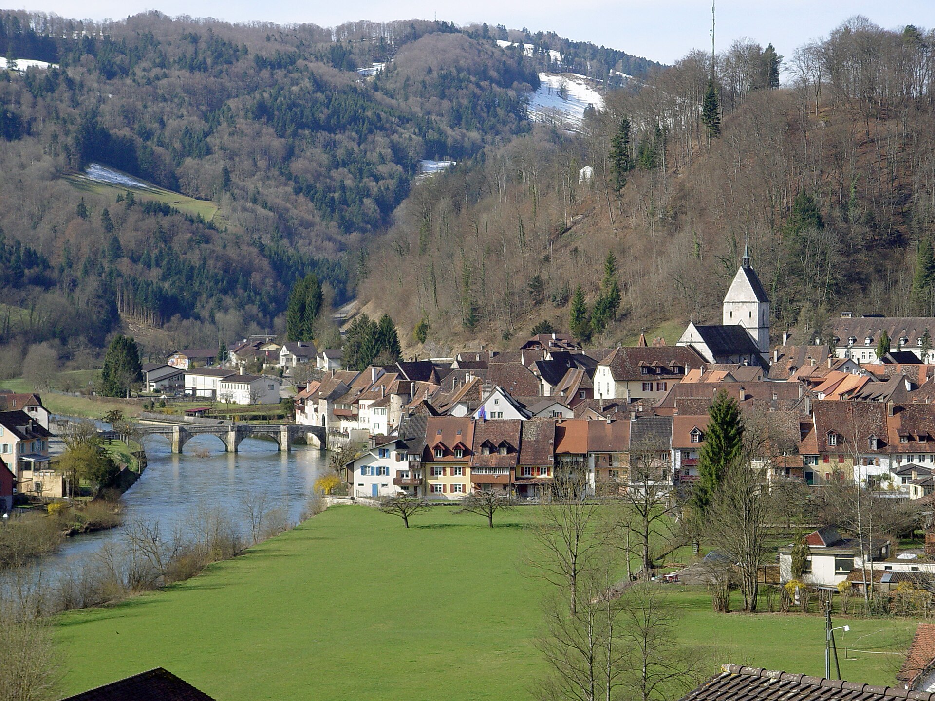
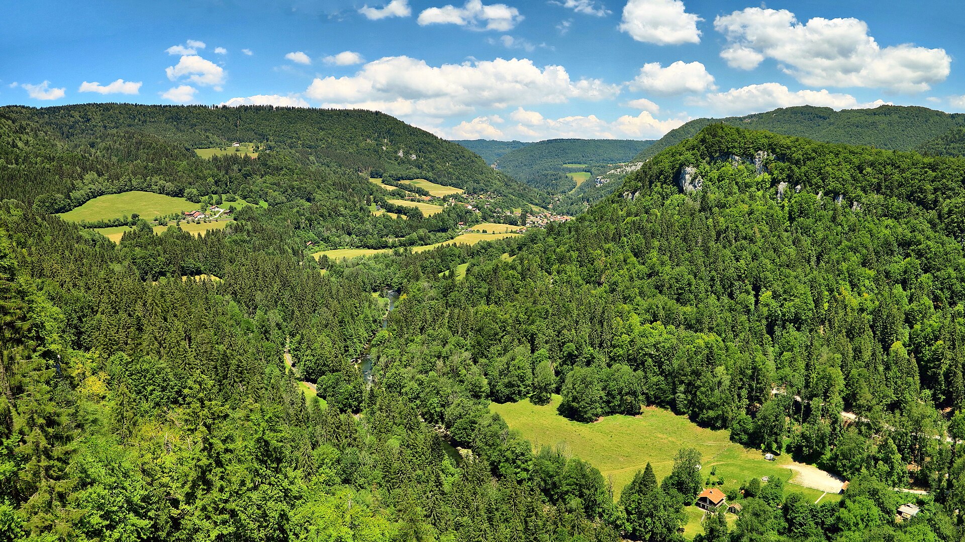
A terrestrial area, with forests and mountains.
What is the highest point of Chasseral Regional Park?
Chasseral, at 1,607 m (OpenStreetMap).
What are the main summits of Chasseral Regional Park?
Chasseral (1,607 m), Petit Chasseral (1,571 m), Chasseral Ouest (1,553 m), Mont Racine (1,439 m) and Tête de Ran (1,422 m) (OpenStreetMap).
When is the best time to visit Chasseral Regional Park?
Mildest period: from June to August, with average temperatures of 12 to 15 °C.
Is there snow in Chasseral Regional Park?
Yes. According to NASA's MODIS satellites (2015–2025 average), snow covers most of the site in December and January, and until February on higher ground, with about 60 snow-covered days a year on average.
What is there to see in Chasseral Regional Park?
2 caves, including Creux d’Entier and Creux-de-Glace (Wikidata).
Are there historic monuments in Chasseral Regional Park?
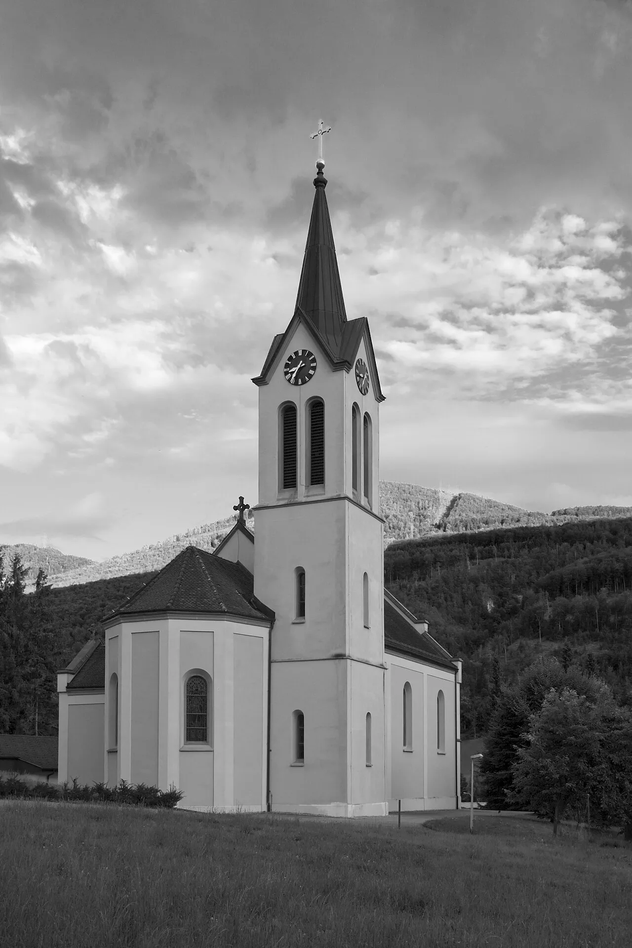
Yes. According to Wikidata, 80 monuments listed in the Swiss Inventory of Cultural Property of National and Regional Significance stand within the boundary, 32 of them of national significance. For example: “Reformed white church” in La Neuveville, “Court Ligerz” in La Neuveville and “Forêts du Beucle” in Petit-Val.
What is the nearest large city to Chasseral Regional Park?
Nearest towns of over 50,000 people, as the crow flies: Biel/Bienne (2 km) and Bern (26 km). Nearest airport: Bern (BRN), about 32 km away.
How can I reach Chasseral Regional Park by train?
Les Geneveys-sur-Coffrane railway station lies within the site.
Where can I get visitor information on site?
Office du tourisme de la Neuveville, Bielersee Tourismus and La vue des Alpes.
Are there waymarked hiking trails in Chasseral Regional Park?
Yes. Waymarked hiking routes listed in OpenStreetMap: 514, including E 4, Trans Swiss Trail, Chemin des Crêtes du Jura and ViaBerna Etappe. The “Chemin de randonnée Européen E4, partie suisse” route runs for about 55 km through the site, with some 1,850 m of ascent on its longest section.
Which species can be seen in Chasseral Regional Park?
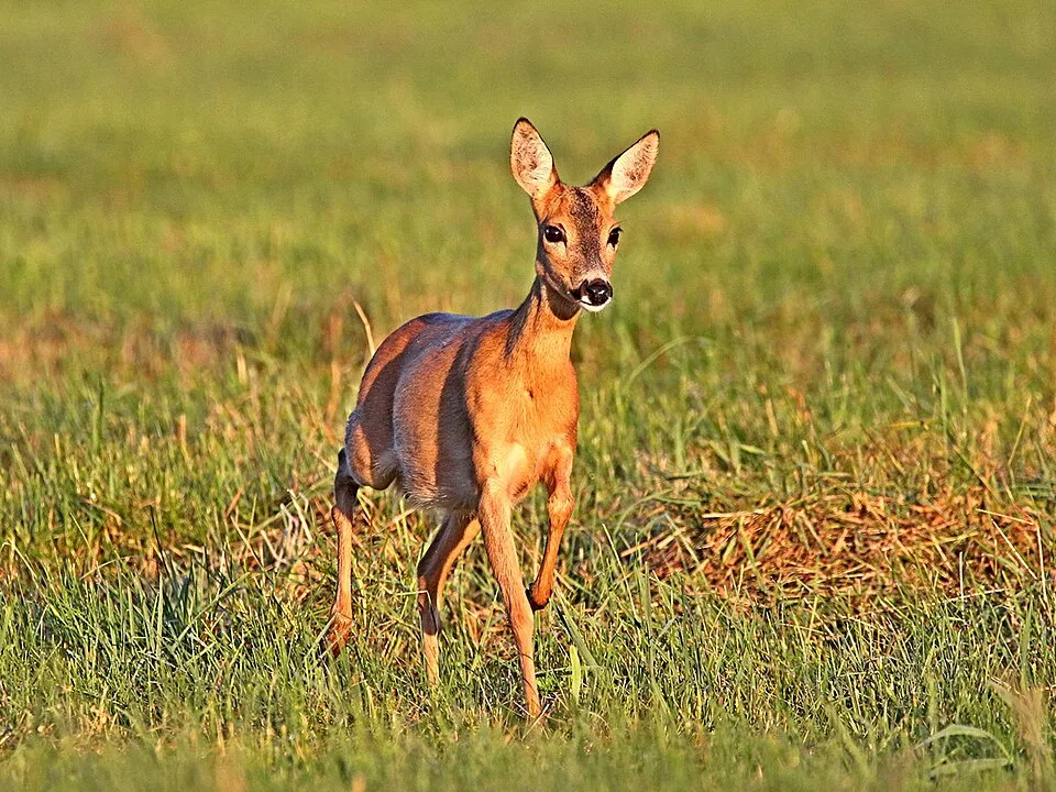
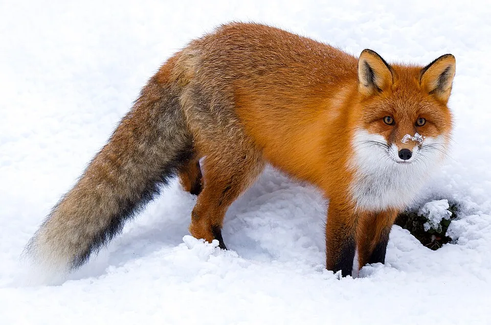
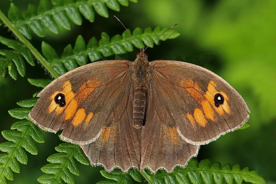
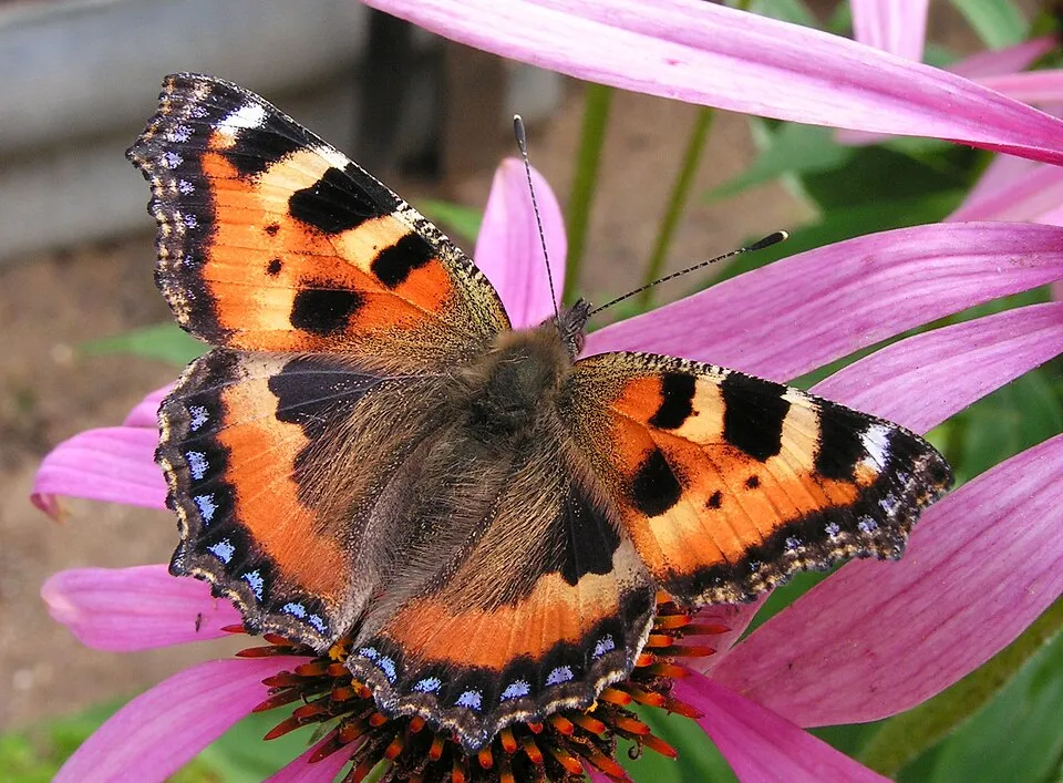
Among the species most often recorded on GBIF are Capreolus capreolus (Roe deer), Vulpes vulpes (Red fox), Maniola jurtina (Meadow brown) and Aglais urticae (Small tortoiseshell).
What is the official website of Chasseral Regional Park?
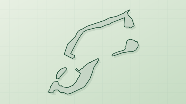
© OpenStreetMap
Download the boundary: GeoJSON · GPX Boundary © OpenStreetMap contributors (ODbL).
Geography
The representative point of the site lies at around 1,297 m above sea level. Over the 1996–2025 period, the mean annual temperature is about 5.6 °C and total precipitation reaches roughly 1,337 mm per year. The warmest month is usually July, the coolest January, and the wettest July.
Area
- Area
- 54,837 ha
- Elevation
- 1,297 m
- Median elevation
- 996 m
- Mean slope
- 12°
- Snow cover
- ≈ 60 days a year
- Coordinates
- 47.1525, 7.1303
Terrain: Mapzen Terrain Tiles (SRTM, USGS)
Elevation bands
- below 500 m 1%
- 500–1,000 m 50%
- 1,000–1,500 m 49%
share of the site in each elevation band (smoothed terrain model: summits are rounded off) · Terrain: Mapzen Terrain Tiles (SRTM, USGS)
Main summits
- Chasseral1,607 m
- Petit Chasseral1,571 m
- Chasseral Ouest1,553 m
- Mont Racine1,439 m
- Tête de Ran1,422 m
- Mont d'Amin1,417 m
- Crêt de Courti1,400 m
- Mont Sujet1,382 m
- Montperreux1,340 m
- Mont Soleil1,291 m
Data © OpenStreetMap contributors (ODbL)
Climate
● Mean temperature (°C) · ▮ Precipitation (mm)
Source: Copernicus ERA5-Land (C3S, doi:10.24381/cds.68d2bb30), monthly averages 1996–2025 interpolated to the representative point, temperatures adjusted for elevation.
Contains modified Copernicus Climate Change Service information 2026. Neither the European Commission nor ECMWF is responsible for any use that may be made of the Copernicus information or data it contains.
Snow cover measured by satellite
J
F
M
A
M
J
J
A
S
O
N
D
average share of the site under snow · snowiest parts · ≈ 60 days a year
Snow cover: MODIS/Terra MOD10CM v61 (Hall & Riggs, 2021, NASA NSIDC DAAC, doi:10.5067/MODIS/MOD10CM.061), imagery from NASA GIBS (ESDIS); 2015–2025 average, grid of about 5 km.
Natural habitats
According to CORINE Land Cover (2018), the site is mainly made up of forests (43%), farmland (33%) and grassland and meadows (18%). Woodland mixes broadleaved and coniferous trees. Elevation ranges from about 720 m to 1,607 m (highest point: Chasseral). Median elevation is 996 m, and 49% of the site lies above 1,000 m (SRTM elevation model).
Biodiversity
Based on occurrences aggregated by GBIF, several species are regularly recorded within the site. Among the most frequent are Capreolus capreolus (Roe deer), Vulpes vulpes (Red fox), Maniola jurtina (Meadow brown) and Aglais urticae (Small tortoiseshell). The full list of documented taxa is shown below.
Species to look out for
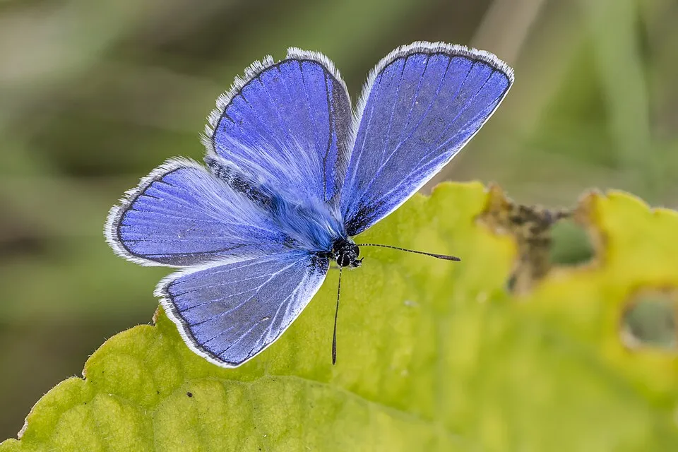
Observed species
Occurrences documented via GBIF; they are neither an exhaustive inventory nor proof of current presence.
- Roe deer · Capreolus capreolus · 16581
- Red fox · Vulpes vulpes · 13800
- Meadow brown · Maniola jurtina · 11779
- Small tortoiseshell · Aglais urticae · 7288
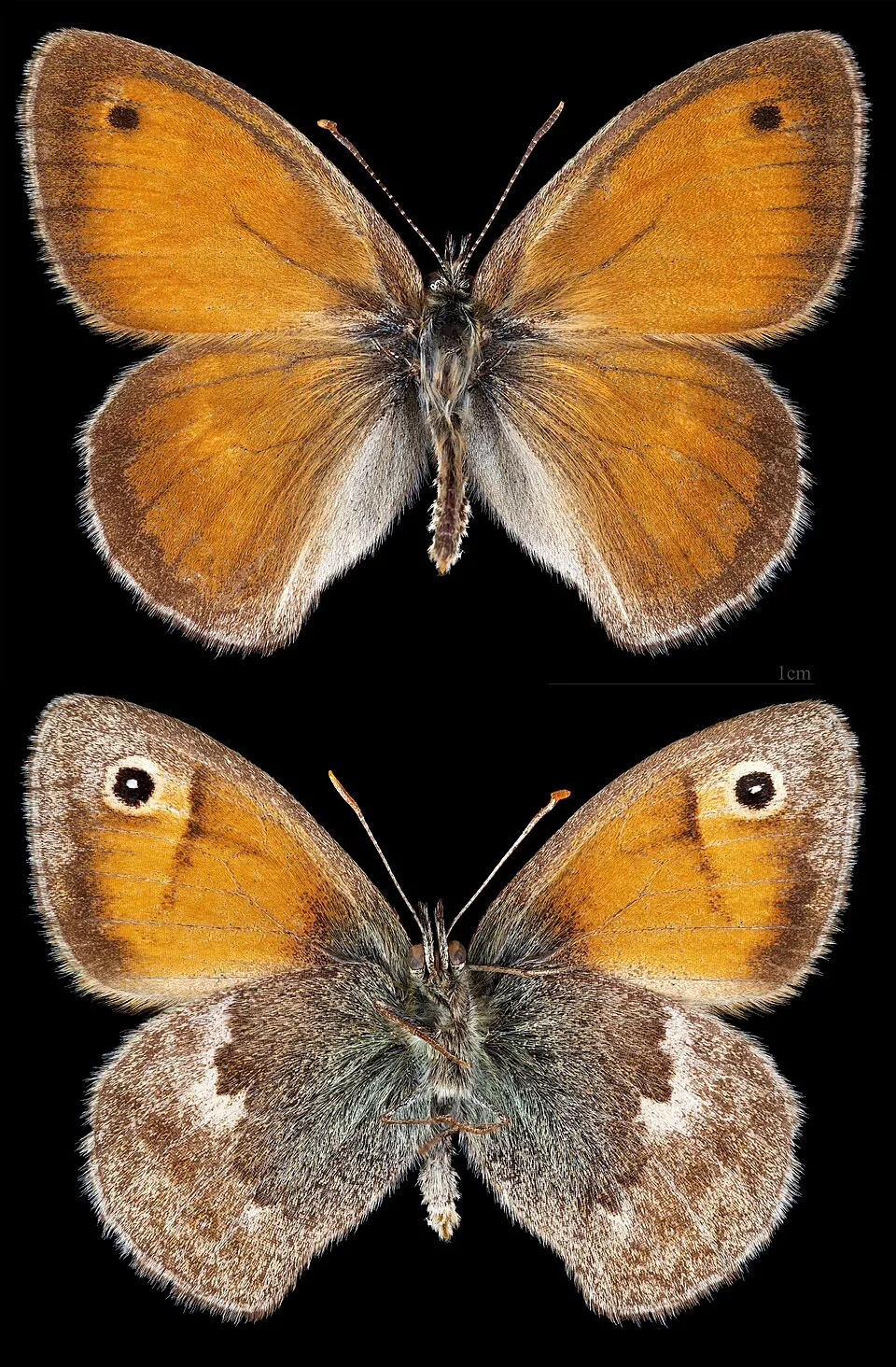
- Small Heath · Coenonympha pamphilus · 7288
- Common blue · Polyommatus icarus · 6875
- Brown Hare · Lepus europaeus · 5390
- Chamois · Rupicapra rupicapra · 4901
- Eurasian badger · Meles meles · 4813
- Meadow Grasshopper · Pseudochorthippus parallelus · 4483
- Silver-washed fritillary · Argynnis paphia · 4358
- Bow-winged grasshopper · Chorthippus biguttulus · 4323
+18 more species
- Ringlet · Aphantopus hyperantus · 4214
- Marbled white · Melanargia galathea · 4182
- Green-veined white · Pieris napi · 3833
- Common toad · Bufo bufo · 3681
- Field cricket · Gryllus campestris · 3581
- Loweia tityrus · 3483
- Norway spruce · Picea abies · 3471
- Orange-tip · Anthocharis cardamines · 3425
- Small white · Pieris rapae · 3281
- Common frog · Rana temporaria · 3216
- Roesel's Bush-Cricket · Roeseliana roeselii · 3131
- Common green grasshopper · Omocestus viridulus · 3062
- Small skipper · Thymelicus sylvestris · 2998
- Speckled Wood · Pararge aegeria · 2985
- Common brimstone · Gonepteryx rhamni · 2838
- Alpine newt · Ichthyosaura alpestris · 2837
- Wall brown · Lasiommata megera · 2781
- Adonis blue · Lysandra bellargus · 2715
Records: GBIF.org (CC-BY). Names: Wikidata (CC0), GBIF. Photos: Wikimedia Commons.
Conservation challenges
The primary purpose of the site is to preserve its natural habitats and the biodiversity they support. The species recorded (Biodiversity tab) reflect its ecological value. Its status as a regional nature park sets the regulatory framework for its protection.
According to Global Forest Change data (University of Maryland, Global Forest Watch), about 957 ha of tree cover were lost within the boundary between 2001 and 2023 (2% of its area), peaking in 2021 and 2023. These losses include logging, storms and fires, and do not account for regrowth. According to CORINE Land Cover, land cover here remained almost unchanged between 2000 and 2018 (less than 0.5% of the area affected); only some 57 ha were built over. At night, 16% of the area gives off artificial light detectable from space (NASA VIIRS Black Marble composite, 2016). Built-up and developed land (buildings, business areas, roads, quarries) covers 4% of the area, and farmland 33% (CORINE Land Cover). Since 2000, 59 invasive alien species have been recorded within the site (GBIF observations), 11 of them on the European Union's list. Among them: Vespa velutina (Asian hornet), Reynoutria japonica (Japanese Knotweed) and Ailanthus altissima (Tree-of-heaven).
Pressure indicators
Tree cover lost
957 ha
2001–2023 · 2% of the area
20012023
Fires since 2016
0
No large fire mapped (fires over about 30 ha)
Light at night
16%
of the area gives off artificial light visible from space
DarkLit
Built-up land
4%
buildings, business areas, roads, quarries · farmland 33%
Land cover change
< 0.5%
of the area changed, 2000–2018 · CORINE
Invasive alien species
59
incl. 11 on the EU list · since 2000
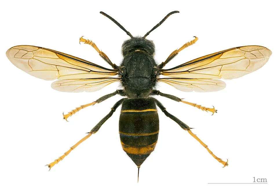 Asian hornetEU
 Japanese KnotweedEU
 Tree-of-heavenEU
 Giant HogweedEU
 Himalayan BalsamEU
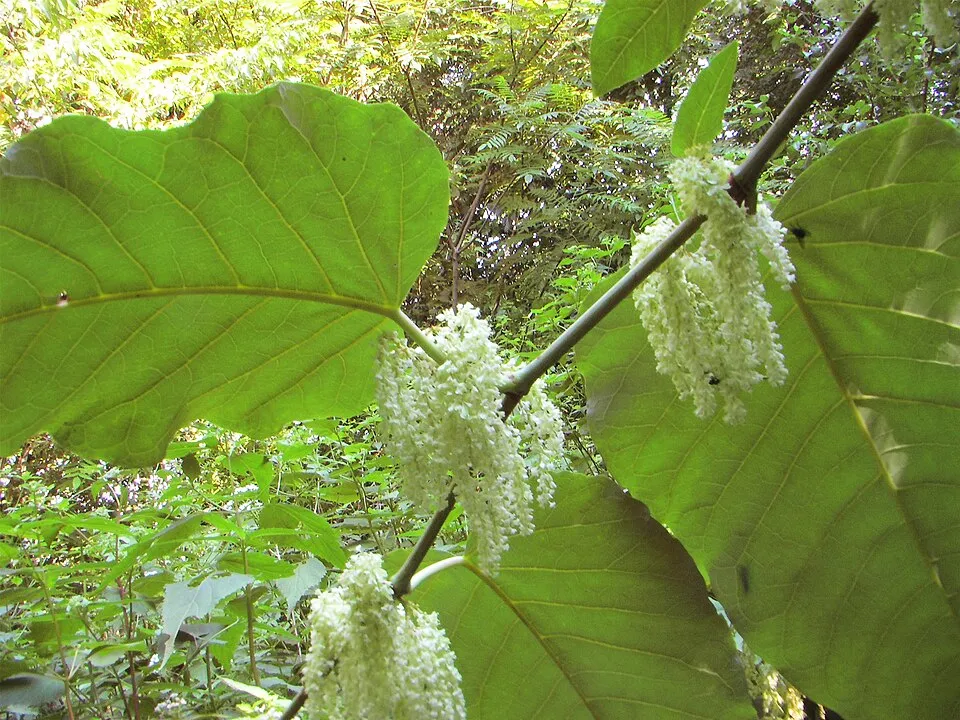 Giant KnotweedEU
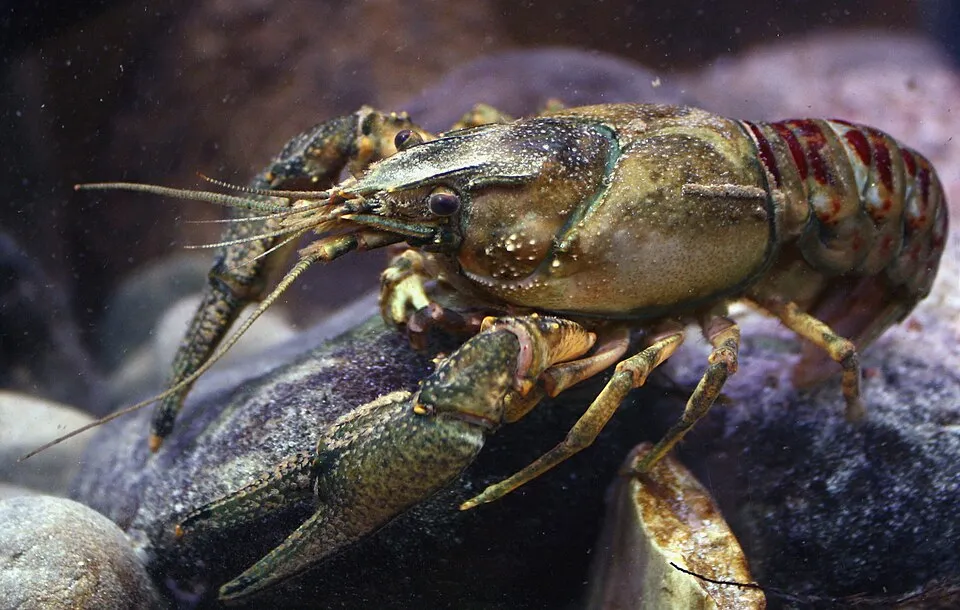 Spinycheek crayfishEU
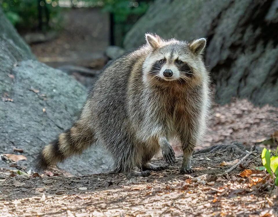 RaccoonEU
Photos: Asian hornet © Didier Descouens · CC BY-SA 4.0; Japanese Knotweed © W.carter · CC0-1.0; Tree-of-heaven © Darkone · CC BY-SA 2.5; Giant Hogweed © anastasiiamerkulova · CC BY 4.0; Himalayan Balsam © Guptaele · CC BY-SA 4.0; Giant Knotweed © Velocicaptor · Public domain; Spinycheek crayfish © Astacoides · CC BY-SA 3.0; Raccoon © Rhododendrites · CC BY-SA 4.0
Sources: Global Forest Change (Hansen et al., University of Maryland, via Global Forest Watch, CC-BY 4.0); EFFIS, European Commission / Copernicus; NASA Black Marble 2016 (public domain); CORINE Land Cover 2018 (Copernicus) or MODIS.
CORINE Land Cover Change 2000–2018: generated using European Union's Copernicus Land Monitoring Service information (EEA), aggregated by Parkavela; DOI 10.2909/f30f1000-7cf8-43bb-872c-5eb093911b24.
Invasive alien species: Global Register of Introduced and Invasive Species (ISSG, CC BY 4.0); Union list, Regulation (EU) 1143/2014 (INBO, CC0); GBIF.org records (CC0 / CC BY 4.0), at least 2 per species.
Practical information
Cities and airport
- Biel/Bienne
2 km as the crow flies - Bern
26 km as the crow flies - Airport: Bern (BRN)
32 km as the crow flies
Visitor information
- Office du tourisme de la Neuveville
within the site - Bielersee Tourismus
within the site - La vue des Alpes
within the site - InfoCenter für Mobilität und Tourismus
2 km from the site boundary
Hiking
514 waymarked routes listed, including:
E 4Trans Swiss TrailChemin des Crêtes du JuraViaBerna EtappeViaJuraChemin du Jura bernois
By bike
7 Route du Jura · 15 km54 Arc jurassien · 46 km22 Nord Vaudois - Jura · 20 km23 Basel–Franches-Montagnes · 13 km
+ 4 local loops
Signed cycle routes: this does not mean that cycling is allowed on footpaths.
Data © OpenStreetMap contributors (ODbL) · Wikidata (CC0)
Routes © OpenStreetMap contributors (ODbL), via Waymarked Trails
Waymarked hiking routes
E4 Chemin de randonnée Européen E4, partie suisse
55 km within the site ↗ 1,845 m↘ 1,947 m 535–1,593 m
5 Chemin des Crêtes du Jura
9.4 km within the site ↗ 254 m↘ 254 m 1,281–1,421 m
up to T2 · mountain hiking
91 Chemin du Jura bernois - Etappe 4
10.5 km within the site ↗ 58 m↘ 74 m 1,144–1,206 m
Tracks © OpenStreetMap contributors (ODbL), clipped to the boundary; elevation gain and profiles computed on the longest section from Mapzen Terrain Tiles (≈ 30 m), indicative only. Indicative difficulty (SAC scale, OpenStreetMap, via Waymarked Trails): check with the park.
Access and visiting
Les Geneveys-sur-Coffrane railway station lies within the site. Nearest towns of over 50,000 people, as the crow flies: Biel/Bienne (2 km) and Bern (26 km). Nearest airport: Bern (BRN), about 32 km away. About 710,000 people live within 20 km of the site boundary, 390,000 of them within 10 km; some 59,000 people are estimated to live inside (GHSL estimate, 2020). This population has grown by about 14% since 2000. Visitor information on site: Office du tourisme de la Neuveville, Bielersee Tourismus and La vue des Alpes. Waymarked hiking routes listed in OpenStreetMap: 514, including E 4, Trans Swiss Trail, Chemin des Crêtes du Jura and ViaBerna Etappe. The site is crossed by 5 signed cycle routes, including “7 Route du Jura” and “54 Arc jurassien” (OpenStreetMap). To see: 2 caves, including Creux d’Entier and Creux-de-Glace. To plan a visit (access, opening periods, visitor rules), it is best to consult the official information from the managing body and the official website listed in this page's sources.
Source: OpenStreetMap (ODbL), Wikidata (CC0), October 2026.
Built heritage
According to Wikidata, 80 monuments listed in the Swiss Inventory of Cultural Property of National and Regional Significance stand within the boundary, 32 of them of national significance. Among them are 22 religious buildings, 21 houses and civic buildings and 9 bridges, lighthouses, mills and working buildings. Nationally designated items include “Reformed white church” in La Neuveville, “Court Ligerz” in La Neuveville and “Forêts du Beucle” in Petit-Val.
22 religious buildings21 houses and civic buildings9 bridges, lighthouses, mills and working buildings7 castles and fortifications6 prehistoric and archaeological sites
-
Reformed white church
National
La Neuveville -
Court Ligerz
National
La Neuveville · 16th c. -
Forêts du Beucle
National
Petit-Val -
Domaine des Planches
National
Val-de-Ruz -
Former Langel Factory
National
Courtelary -
Archives and Library of the Swiss Mennonite conference
National
Corgémont -
Priory St. Peter's Island
National
Douanne-Daucher -
La Neuveville town walls
National
La Neuveville
and 72 more
Source: Wikidata (CC0), monuments in each country’s official heritage protection registers, at national or regional level. Each item links to its Wikidata entry.
When to visit
Mildest period: from June to August, with average temperatures of 12 to 15 °C. Average temperatures drop below 0 °C from December to February: frost is common. These averages apply to the site's representative point (1,297 m); higher up it is markedly cooler and snow lasts longer. According to NASA's MODIS satellites (2015–2025 average), snow covers most of the site in December and January, and until February on higher ground, with about 60 snow-covered days a year on average. Day length ranges from about 8 h 30 min in December to 15 h 54 min in June. Wildlife records published on GBIF peak for birds (April and May), plants (June), butterflies and moths (July), dragonflies (from June to August) and mammals (March and April). These peaks also reflect when observers are most active.
Source: Copernicus ERA5-Land (C3S), monthly averages 1996–2025 at the representative point, temperatures adjusted for elevation.
Contains modified Copernicus Climate Change Service information 2026. Neither the European Commission nor ECMWF is responsible for any use that may be made of the Copernicus information or data it contains.
Wildlife records calendar
JFMAMJJASOND
Birds
Plants
Butterflies & moths
Dragonflies
Mammals
Monthly records published on GBIF (CC-BY), relative to the busiest month; also reflects observer activity.
Gallery
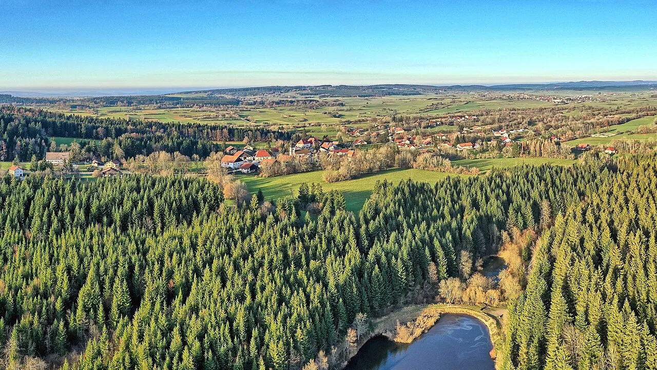
© Zacharie Grossen · CC BY-SA 3.0
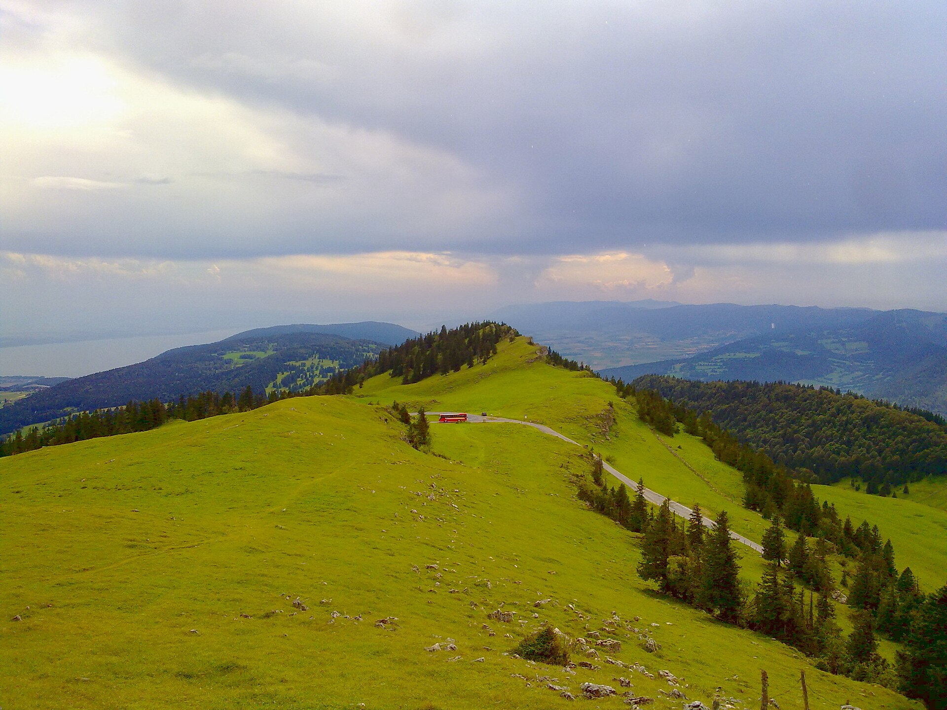
© Giles Laurent · CC BY-SA 4.0
© David Bühler · CC BY-SA 4.0
© Thomas Guthruf · CC BY-SA 4.0
© Geri340 · CC BY-SA 4.0
© Alizée9 · CC BY-SA 3.0
Sources and licences
- Wikidata: Q17264991
- OpenStreetMap: relation 2818258
- Official website: http://www.parcchasseral.ch/
- Wikipedia: fr.wikipedia.org/wiki/Parc_régional_Chasseral
References
- map.geo.admin.ch: official area · OGD-CH-BY
- cds.climate.copernicus.eu: climate · CC-BY-4.0
- registry.opendata.aws: elevation of the reference point, detailed relief · PD
- land.copernicus.eu: land cover, land cover change, sea share · COPERNICUS
- doi.org: population around the site · CC-BY-4.0
- eea.europa.eu: bathing water quality · CC-BY-4.0
- en.eurovelo.com: EuroVelo cycle routes · ODbL-1.0
- cycling.waymarkedtrails.org: cycle routes · ODbL-1.0
- opentopodata.org: elevations · PD
- forest-fire.emergency.copernicus.eu: wildfires · COPERNICUS
- globalforestwatch.org: tree cover loss · CC-BY-4.0
- gbif.org: seasonality of sightings, invasive alien species, observed species · CC-BY-4.0
- wikidata.org: protected heritage, nearby cities and airport, access and peaks, lake depths, places to see, official website · CC0-1.0
- hydrosheds.org: lakes · CC-BY-4.0
- openstreetmap.org: official name, access and peaks · ODbL-1.0
- earthobservatory.nasa.gov: night light · PD
- hiking.waymarkedtrails.org: route difficulty · ODbL-1.0
- nsidc.org: snow cover · PD
- wikidata.org: Wikipedia article · CC-BY-SA-4.0
Data © OpenStreetMap contributors (ODbL), Wikidata (CC0) and the sources cited.