France · Terrestrial
Espace naturel sensible des puys du Chinonais
Protected area of 150 hectares in France.
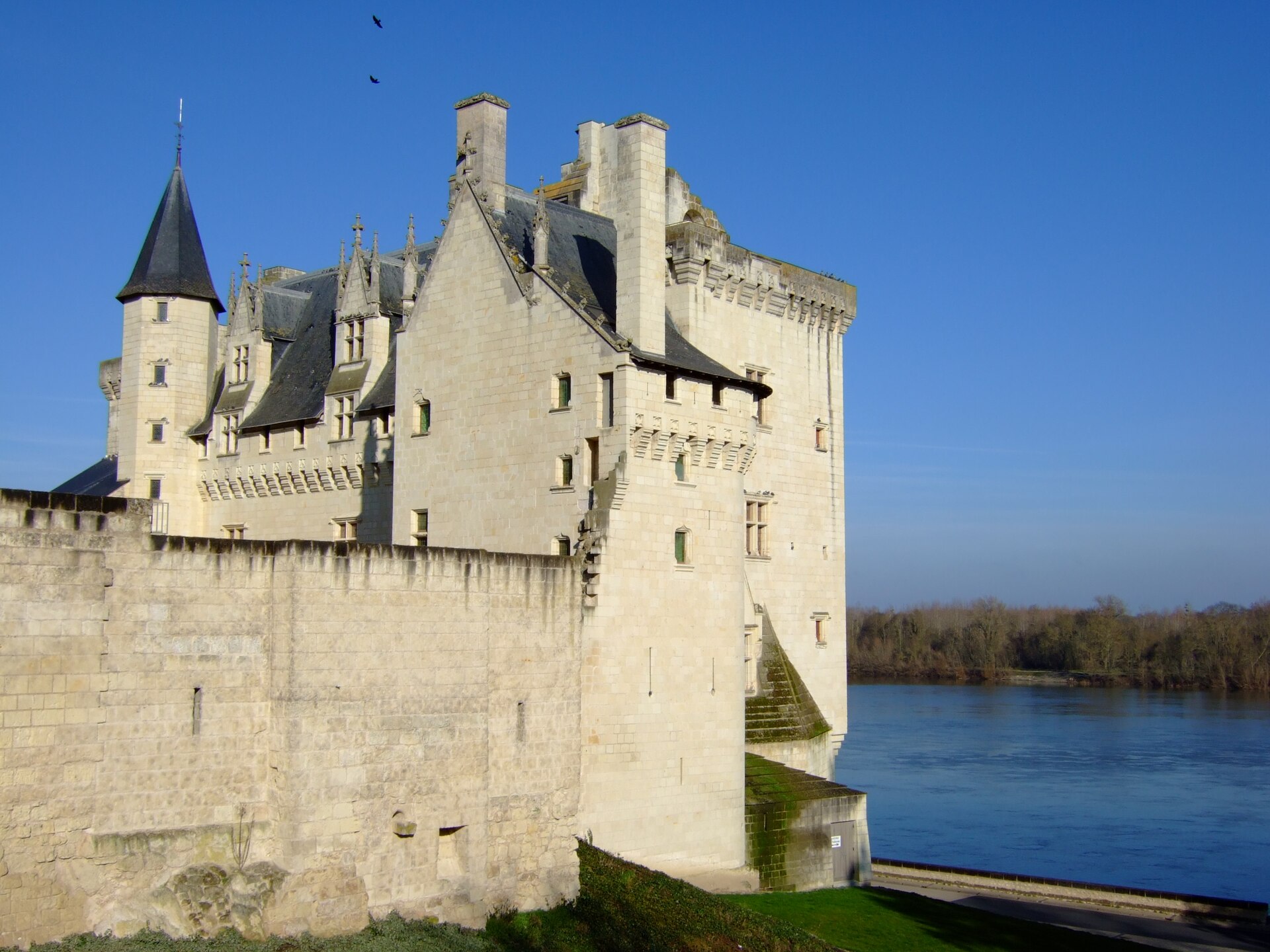
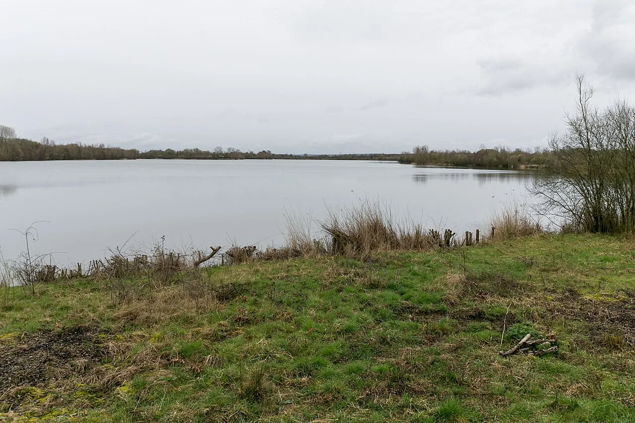
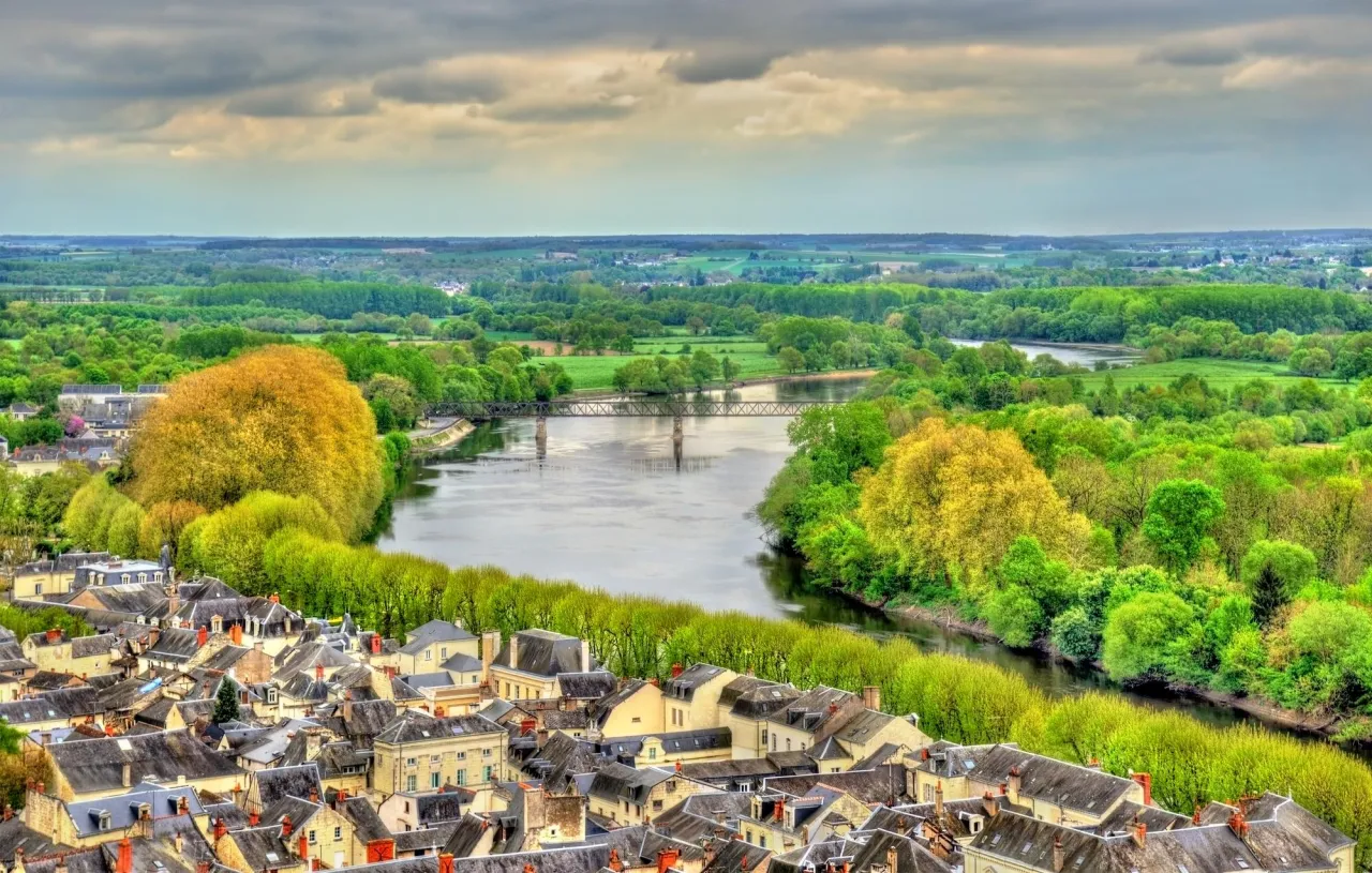
Illustrative photo · Chinonais · © user21859082 / Magnific
Overview
Protected area of 150 hectares in France.
Espace naturel sensible des puys du Chinonais is a protected area in France (Europe). It is a predominantly terrestrial area. It covers about 150 hectares.
Protections and designations
Natura 2000 · habitats (SAC)
- Les puys du Chinonais FR2400540
Designated as a protected area. International labels and designations: Natura 2000 network (1 site: “Les puys du Chinonais”).
Frequently asked questions
Where is Espace naturel sensible des puys du Chinonais?
In France (Europe). Representative point: 47.1936° N, 0.2289° E.
How large is Espace naturel sensible des puys du Chinonais?
About 150 hectares (2 km²). It is the 15th largest of the 32 other protected areas in France covered by Parkavela.
What habitats and landscapes does Espace naturel sensible des puys du Chinonais include?
A terrestrial area, where land cover is dominated by grassland and meadows (51%).
What rocks lie beneath Espace naturel sensible des puys du Chinonais?
According to the BRGM's simplified lithological map, the bedrock consists mainly of chalk (100% of sampled points). These are mostly sedimentary rocks.
Which international labels apply to Espace naturel sensible des puys du Chinonais?
Natura 2000 network (1 site: “Les puys du Chinonais”).
When is the best time to visit Espace naturel sensible des puys du Chinonais?
Best time to visit: from April to September, with average temperatures of 11 to 21 °C and moderate rainfall.
What is the nearest large city to Espace naturel sensible des puys du Chinonais?
Nearest towns of over 50,000 people, as the crow flies: Tours (40 km) and Angers (65 km). Nearest airport: Tours Val de Loire (TUF), about 44 km away.
How can I reach Espace naturel sensible des puys du Chinonais by train?
The nearest railway station is La Chapelle-sur-Loire, about 5 km from the site boundary.
Where can I get visitor information on site?
Office de tourisme Azay Chinon Val-de-Loire and Maison de la mobilité.
Which species can be seen in Espace naturel sensible des puys du Chinonais?
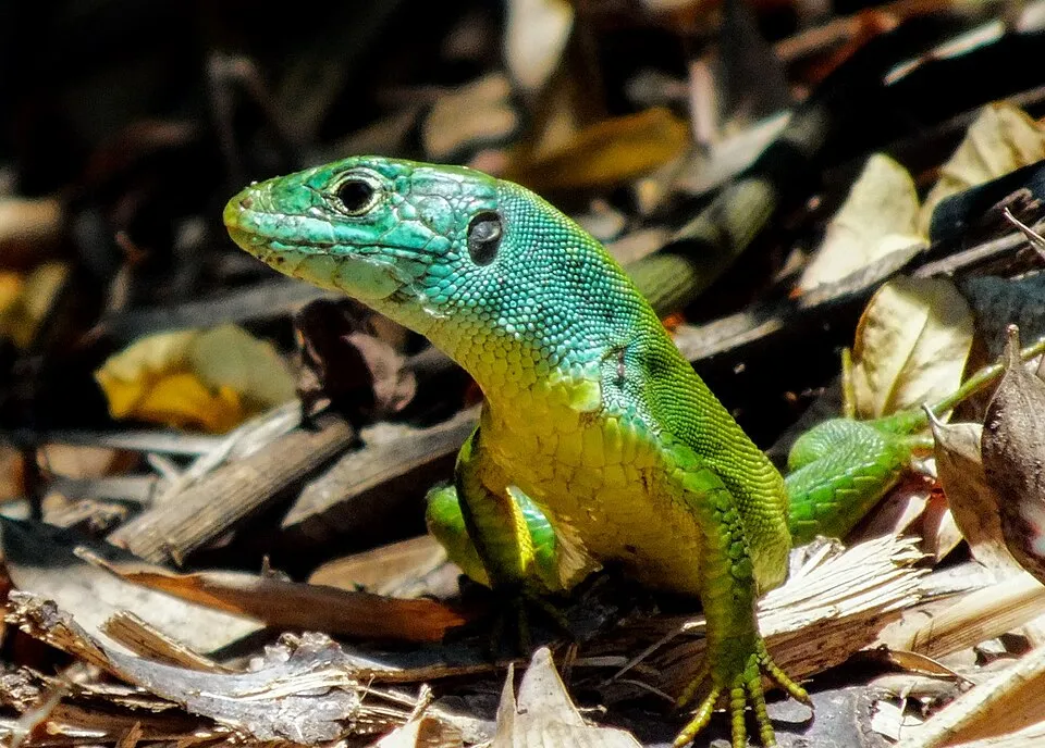
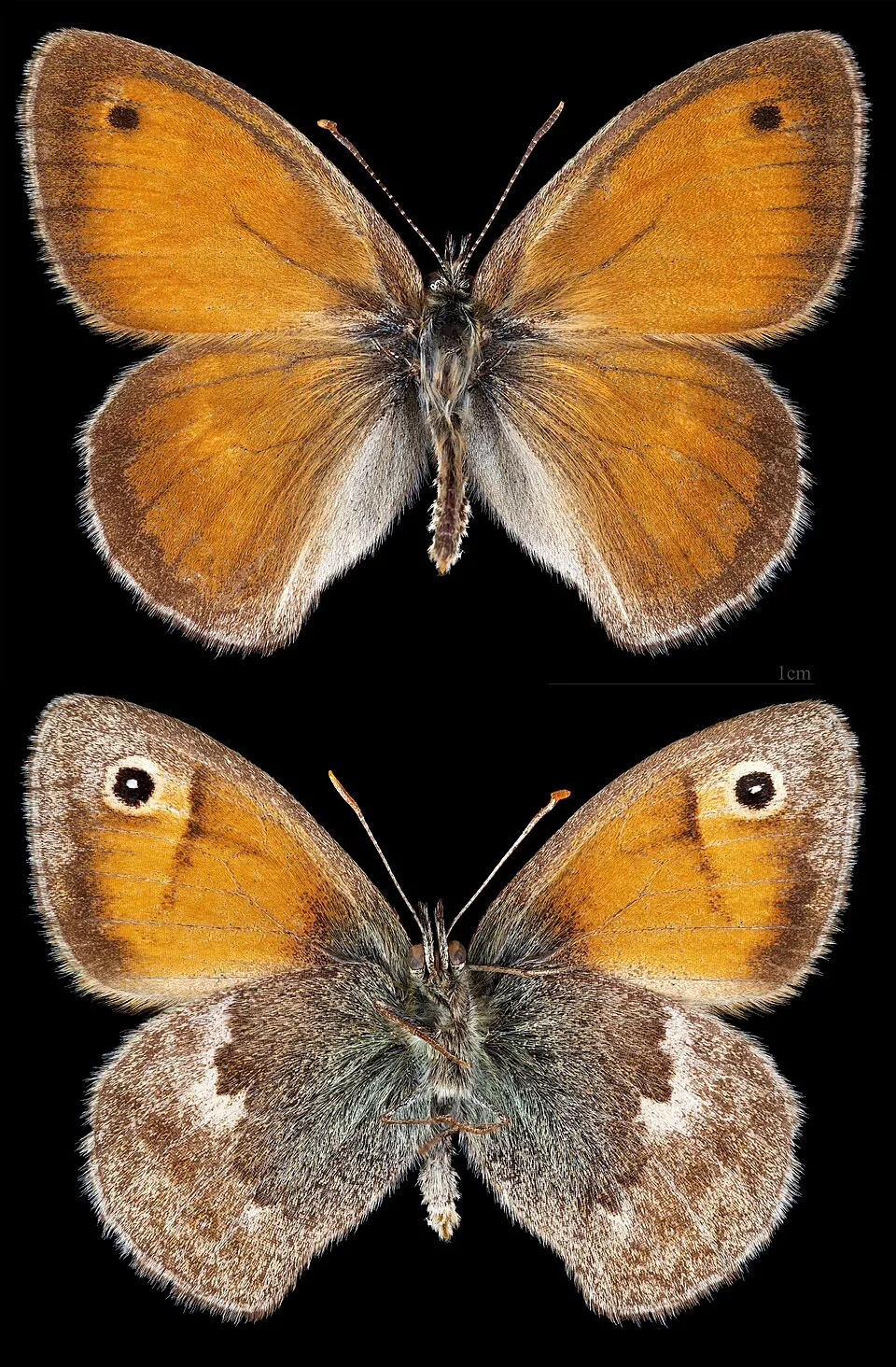
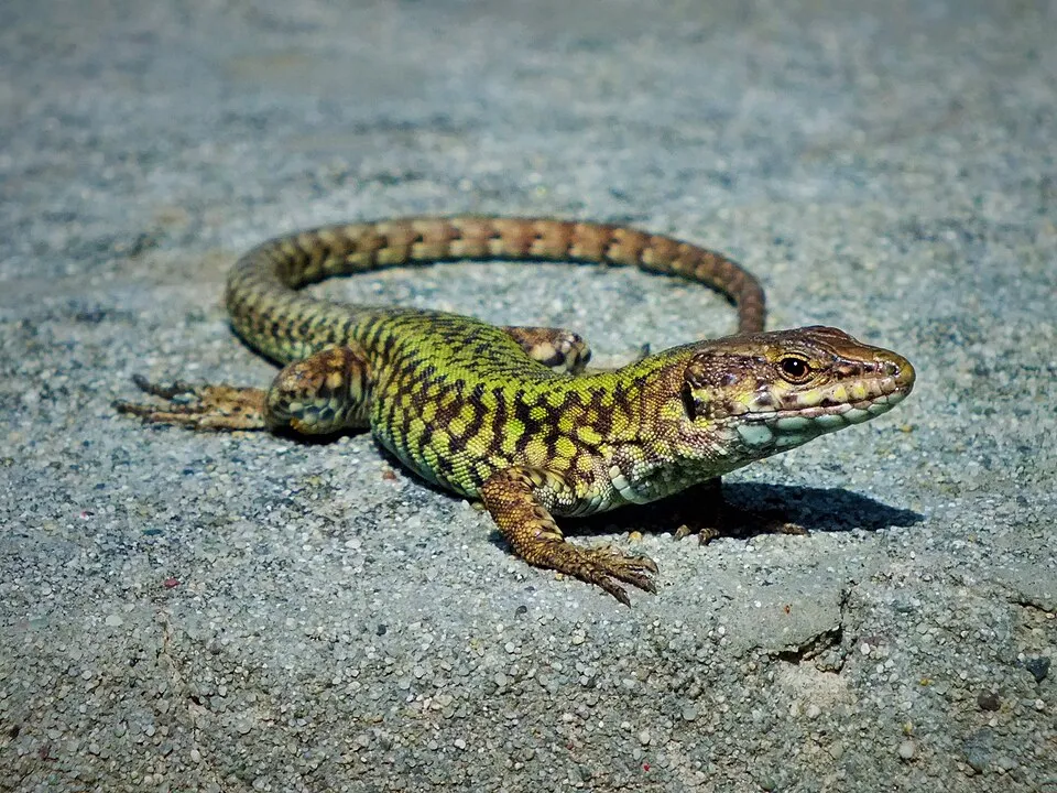
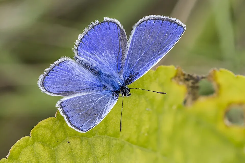
Among the species most often recorded on GBIF are Maculinea arion (Large Blue), Lacerta bilineata (Western green lizard), Coenonympha pamphilus (Small Heath) and Aricia agestis (Brown argus).
© OpenStreetMap
Download the boundary: GeoJSON · GPX Boundary © OpenStreetMap contributors (ODbL).
Geography
The representative point of the site lies at around 67 m above sea level. Over the 1996–2025 period, the mean annual temperature is about 12.6 °C and total precipitation reaches roughly 725 mm per year. The warmest month is usually August, the coolest January, and the wettest October. According to the BRGM's simplified lithological map, the bedrock consists mainly of chalk (100% of sampled points). These are mostly sedimentary rocks.
Area
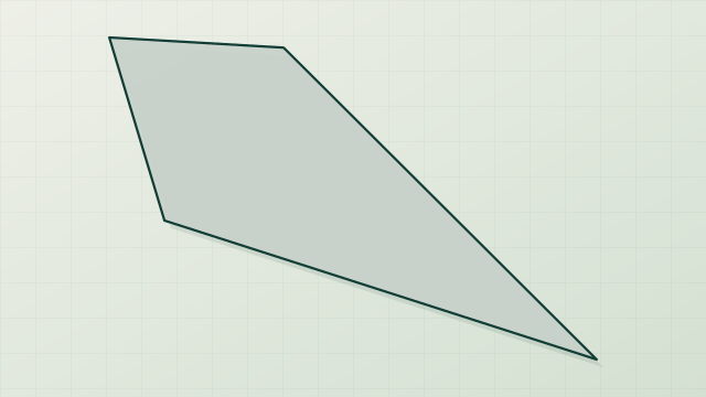
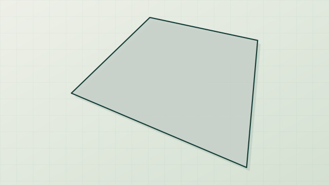
- Area of the boundary
- 150 ha
- Elevation
- 67 m
- Coordinates
- 47.1936, 0.2289
Bedrock
- Chalk 100 %
Sedimentary rocks 100 %
Source: BRGM, simplified lithological map at 1:1,000,000 (Licence Ouverte), 16 points sampled within the boundary.
Climate
● Mean temperature (°C) · ▮ Precipitation (mm)
Source: Copernicus ERA5-Land (C3S, doi:10.24381/cds.68d2bb30), monthly averages 1996–2025 interpolated to the representative point, temperatures adjusted for elevation.
Contains modified Copernicus Climate Change Service information 2026. Neither the European Commission nor ECMWF is responsible for any use that may be made of the Copernicus information or data it contains.
Natural habitats
According to CORINE Land Cover (2018), the site is mainly made up of grassland and meadows (51%), farmland (29%) and built-up or developed land (10%). The Natura 2000 site overlapping the area lists 6 habitats of European interest (2 priority), the most extensive being semi-natural dry grasslands and scrubland facies on calcareous substrates (Festuco-Brometalia) (* important orchid sites), xeric sand calcareous grasslands and lowland hay meadows (Alopecurus pratensis, Sanguisorba officinalis).
Biodiversity
Based on occurrences aggregated by GBIF, several species are regularly recorded within the site. Among the most frequent are Maculinea arion (Large Blue), Lacerta bilineata (Western green lizard), Coenonympha pamphilus (Small Heath) and Aricia agestis (Brown argus). The full list of documented taxa is shown below. The overlapping Natura 2000 site lists 9 species of European interest: 4 mammals, 2 reptiles and 3 invertebrates.
Habitats of European interest
From the official form of the Natura 2000 site overlapping the area (areas reported for the whole site).
- Semi-natural dry grasslands and scrubland facies on calcareous substrates (Festuco-Brometalia) (* important orchid sites) 63 ha
- Xeric sand calcareous grasslands priority 28 ha
- Lowland hay meadows (Alopecurus pratensis, Sanguisorba officinalis) 3 ha
- Juniperus communis formations on heaths or calcareous grasslands 2 ha
- Rupicolous calcareous or basophilic grasslands of the Alysso-Sedion albi priority 1 ha
- Inland dunes with open Corynephorus and Agrostis grasslands 0 ha
Species of European interest
Mammals · 4
Barbastelle (Barbastella barbastellus), Geoffroy's bat (Myotis emarginatus), Greater mouse-eared bat (Myotis myotis), Greater Horseshoe Bat (Rhinolophus ferrumequinum)
Reptiles · 2
Dark green snake (Coluber viridiflavus), Aesculapian snake (Elaphe longissima)
Invertebrates · 3
Jersey Tiger (Euplagia quadripunctaria), Stag beetle (Lucanus cervus), Large Blue (Maculinea arion)
Source: Natura 2000 standard data forms (EEA, CC-BY 4.0). Not exhaustive: sensitive species are not published.
Species to look out for

Observed species
Occurrences documented via GBIF; they are neither an exhaustive inventory nor proof of current presence.
- Large Blue · Maculinea arion · 933
- Western green lizard · Lacerta bilineata · 89
- Small Heath · Coenonympha pamphilus · 66
- Brown argus · Aricia agestis · 48
- Loweia tityrus · 46
- Common wall lizard · Podarcis muralis · 44
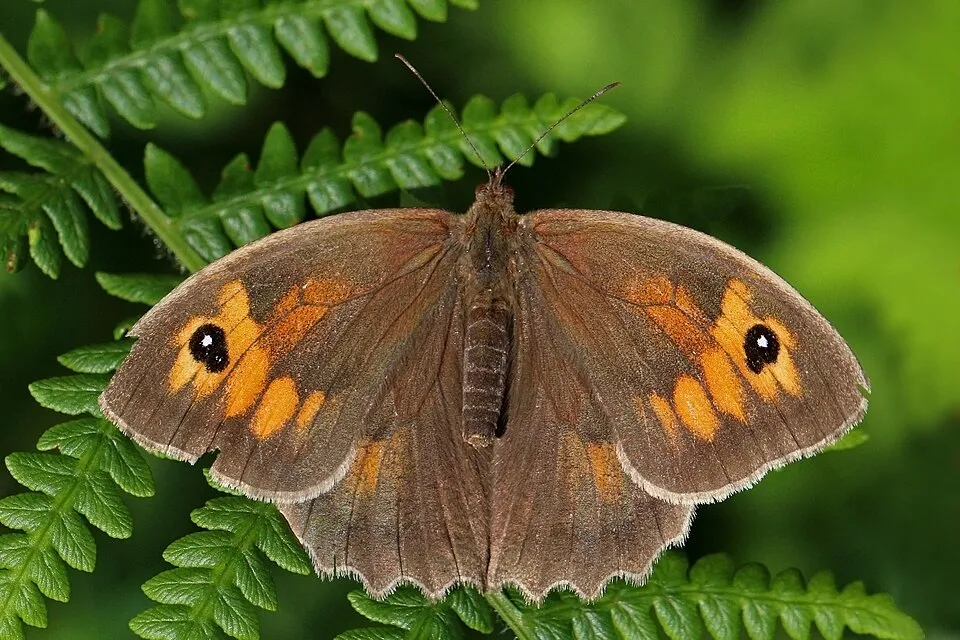
- Meadow brown · Maniola jurtina · 43
- Common blue · Polyommatus icarus · 35
- Adonis blue · Lysandra bellargus · 33
- Gatekeeper · Pyronia tithonus · 31
- Marbled white · Melanargia galathea · 28
- Wall brown · Lasiommata megera · 25
+18 more species
- Chrysis bicolor · 22
- Small white · Pieris rapae · 21
- False grayling · Arethusana arethusa · 20
- Swallowtail · Papilio machaon · 17
- Large white · Pieris brassicae · 16
- Wayfaring-tree · Viburnum lantana · 14
- Violet Limodore · Limodorum abortivum · 14
- Chalk-hill Blue · Lysandra coridon · 13
- Peacock · Aglais io · 13
- Clouded yellow · Colias croceus · 13
- Small copper · Lycaena phlaeas · 12
- Hart's tonguefern · Asplenium scolopendrium · 12
- Berger's Clouded Yellow · Colias alfacariensis · 12
- White Rock-rose · Helianthemum apenninum · 11
- Monkey orchid · Orchis simia · 10
- Pepsis cyanea · 9
- Slow worm · Anguis fragilis · 9
- Crested Cow-wheat · Melampyrum cristatum · 9
Records: GBIF.org (CC-BY). Names: Wikidata (CC0), GBIF. Photos: Wikimedia Commons.
Conservation challenges
The primary purpose of the site is to preserve its natural habitats and the biodiversity they support. The species recorded (Biodiversity tab) reflect its ecological value. The designations it holds frame its management and the control of land use.
At night, the area gives off virtually no artificial light detectable from space (NASA VIIRS Black Marble composite, 2016). Built-up and developed land (buildings, business areas, roads, quarries) covers 10% of the area, and farmland 29% (CORINE Land Cover). According to the Natura 2000 forms, of 6 assessed habitats of European interest, 1 is in excellent condition and 1 in average or reduced condition.
Pressure indicators
Fires since 2016
0
No large fire mapped (fires over about 30 ha)
Light at night
0%
of the area gives off artificial light visible from space
DarkLit
Built-up land
10%
buildings, business areas, roads, quarries · farmland 29%
Sources: Global Forest Change (Hansen et al., University of Maryland, via Global Forest Watch, CC-BY 4.0); EFFIS, European Commission / Copernicus; NASA Black Marble 2016 (public domain); CORINE Land Cover 2018 (Copernicus) or MODIS.
Practical information
Cities and airport
- Tours
40 km as the crow flies - Angers
65 km as the crow flies - Airport: Tours Val de Loire (TUF)
44 km as the crow flies
Visitor information
- Office de tourisme Azay Chinon Val-de-Loire
2 km from the site boundary - Maison de la mobilité
3 km from the site boundary
Data © OpenStreetMap contributors (ODbL) · Wikidata (CC0)
Access and visiting
The nearest railway station is La Chapelle-sur-Loire, about 5 km from the site boundary. Nearest towns of over 50,000 people, as the crow flies: Tours (40 km) and Angers (65 km). Nearest airport: Tours Val de Loire (TUF), about 44 km away. About 79,000 people live within 20 km of the site boundary, 29,000 of them within 10 km (GHSL estimate, 2020). Visitor information on site: Office de tourisme Azay Chinon Val-de-Loire and Maison de la mobilité. To plan a visit (access, opening periods, visitor rules), it is best to consult the official information from the managing body and the official website listed in this page's sources.
Source: OpenStreetMap (ODbL), Wikidata (CC0), October 2026.
When to visit
Best time to visit: from April to September, with average temperatures of 11 to 21 °C and moderate rainfall. Day length ranges from about 8 h 30 min in December to 15 h 54 min in June. Wildlife records published on GBIF peak for plants (May and June) and butterflies and moths (June and July). These peaks also reflect when observers are most active.
Source: Copernicus ERA5-Land (C3S), monthly averages 1996–2025 at the representative point, temperatures adjusted for elevation.
Contains modified Copernicus Climate Change Service information 2026. Neither the European Commission nor ECMWF is responsible for any use that may be made of the Copernicus information or data it contains.
Wildlife records calendar
JFMAMJJASOND
Plants
Butterflies & moths
Monthly records published on GBIF (CC-BY), relative to the busiest month; also reflects observer activity.
Gallery
© user21859082 / Magnific
© Boswell / Magnific
Sources and licences
- OpenStreetMap: relation 14109797
References
- cds.climate.copernicus.eu: climate · CC-BY-4.0
- registry.opendata.aws: elevation of the reference point, detailed relief · PD
- land.copernicus.eu: land cover, land cover change, sea share · COPERNICUS
- doi.org: population around the site · CC-BY-4.0
- openstreetmap.org: official name, access and peaks, places to see, trail difficulty · ODbL-1.0
- eea.europa.eu: bathing water quality, ecological status of waters · CC-BY-4.0
- en.eurovelo.com: EuroVelo cycle routes · ODbL-1.0
- cycling.waymarkedtrails.org: cycle routes · ODbL-1.0
- opentopodata.org: elevations · PD
- forest-fire.emergency.copernicus.eu: wildfires · COPERNICUS
- globalforestwatch.org: tree cover loss · CC-BY-4.0
- gbif.org: seasonality of sightings, invasive alien species, observed species · CC-BY-4.0
- infoterre.brgm.fr: geology · LO-2.0
- pop.culture.gouv.fr: protected heritage · LO-2.0
- hydrosheds.org: lakes · CC-BY-4.0
- natura2000.eea.europa.eu: Natura 2000 habitats and species · CC-BY-4.0
- earthobservatory.nasa.gov: night light · PD
- nsidc.org: snow cover · PD
- wikidata.org: nearby cities and airport, access and peaks, lake depths, places to see · CC0-1.0
Data © OpenStreetMap contributors (ODbL), Wikidata (CC0) and the sources cited.