France · Terrestrial
Forêt de Monnaie
Protected area of 1,970 hectares in France.
Overview
Protected area of 1,970 hectares in France.
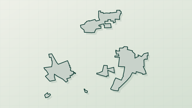
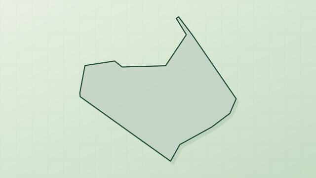
Forêt de Monnaie is a protected area in France (Europe). It is a predominantly terrestrial area. It covers about 1,970 hectares.
In our collections
Frequently asked questions
Where is Forêt de Monnaie?
In France (Europe). Representative point: 47.4375° N, 0.0282° W.
How large is Forêt de Monnaie?
About 1,970 hectares (20 km²). It is the largest of the 32 other protected areas in France covered by Parkavela.
What habitats and landscapes does Forêt de Monnaie include?
A terrestrial area, with forests.
What rocks lie beneath Forêt de Monnaie?
According to the BRGM's simplified lithological map, the bedrock consists mainly of chalk (100% of sampled points). These are mostly sedimentary rocks.
When is the best time to visit Forêt de Monnaie?
Best time to visit: from April to September, with average temperatures of 11 to 21 °C and moderate rainfall.
What is the nearest large city to Forêt de Monnaie?
Nearest towns of over 50,000 people, as the crow flies: Angers (37 km) and Tours (51 km). Nearest airport: Tours Val de Loire (TUF), about 54 km away.
How can I reach Forêt de Monnaie by train?
The nearest railway station is Les Rosiers-sur-Loire, about 14 km from the site boundary.
Which species can be seen in Forêt de Monnaie?
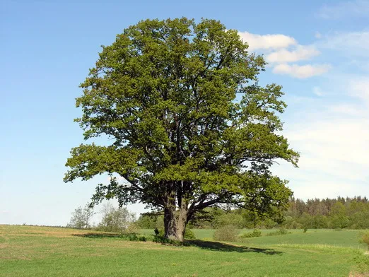
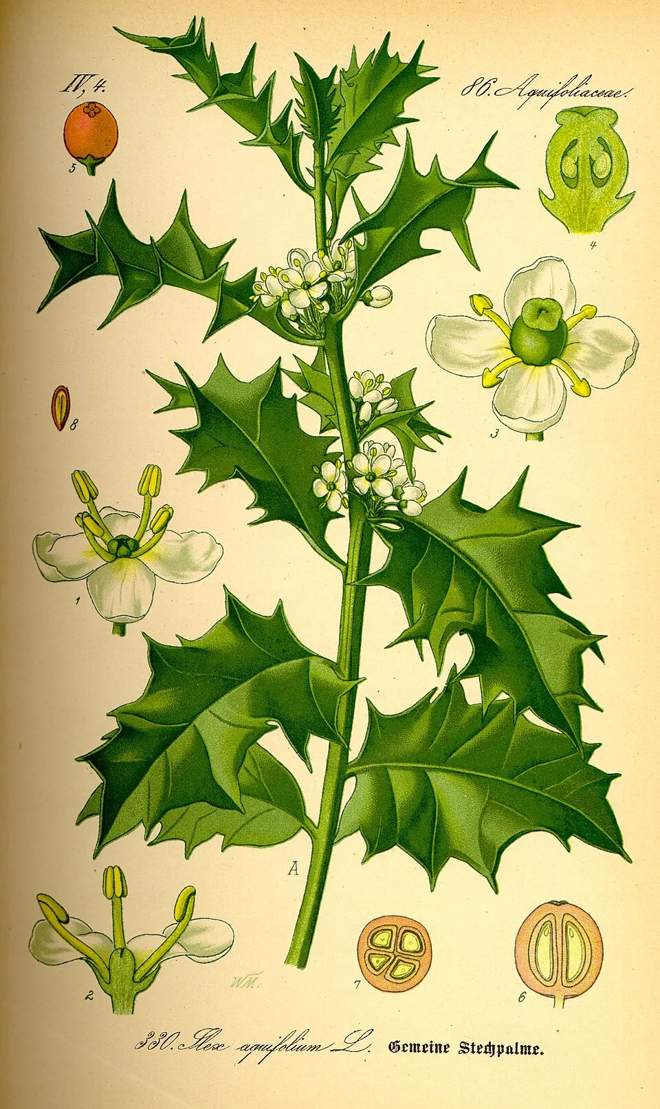
Among the species most often recorded on GBIF are Quercus robur (Pedunculate Oak), Lonicera periclymenum (European honeysuckle), Linyphia triangularis (Money spider) and Ilex aquifolium (Holly).
© OpenStreetMap
Download the boundary: GeoJSON · GPX Boundary © OpenStreetMap contributors (ODbL).
Geography
The representative point of the site lies at around 42 m above sea level. Over the 1996–2025 period, the mean annual temperature is about 12.7 °C and total precipitation reaches roughly 731 mm per year. The warmest month is usually August, the coolest January, and the wettest October. According to the BRGM's simplified lithological map, the bedrock consists mainly of chalk (100% of sampled points). These are mostly sedimentary rocks.
Area
- Area of the boundary
- 1,970 ha
- Elevation
- 42 m
- Coordinates
- 47.4375, -0.0282
Bedrock
- Chalk 100 %
Sedimentary rocks 100 %
Source: BRGM, simplified lithological map at 1:1,000,000 (Licence Ouverte), 16 points sampled within the boundary.
Climate
● Mean temperature (°C) · ▮ Precipitation (mm)
Source: Copernicus ERA5-Land (C3S, doi:10.24381/cds.68d2bb30), monthly averages 1996–2025 interpolated to the representative point, temperatures adjusted for elevation.
Contains modified Copernicus Climate Change Service information 2026. Neither the European Commission nor ECMWF is responsible for any use that may be made of the Copernicus information or data it contains.
Natural habitats
According to CORINE Land Cover (2018), the site is mainly made up of forests (72%), heath and scrub (12%) and grassland and meadows (11%). Woodland is mostly coniferous.
Biodiversity
Based on occurrences aggregated by GBIF, several species are regularly recorded within the site. Among the most frequent are Quercus robur (Pedunculate Oak), Lonicera periclymenum (European honeysuckle), Linyphia triangularis (Money spider) and Ilex aquifolium (Holly). The full list of documented taxa is shown below.
Species to look out for


Observed species
Occurrences documented via GBIF; they are neither an exhaustive inventory nor proof of current presence.
- Pedunculate Oak · Quercus robur · 13
- European honeysuckle · Lonicera periclymenum · 13
- Money spider · Linyphia triangularis · 11
- Holly · Ilex aquifolium · 11
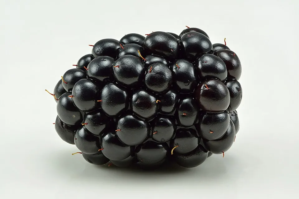
- Blackberry · Rubus fruticosus · 11
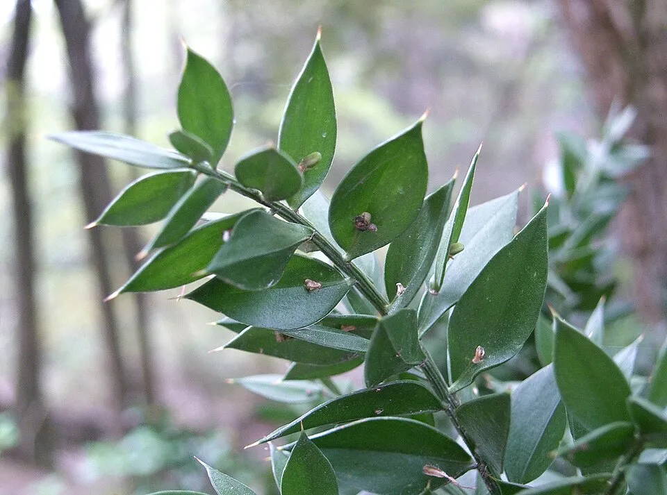
- Butcher's-broom · Ruscus aculeatus · 10
- Broom · Cytisus scoparius · 10
- Evarcha arcuata · 9
- Eurasian Nuthatch · Sitta europaea · 9
- Bracken · Pteridium aquilinum · 9
- Creeping velvetgrass · Holcus mollis · 8
- Colonial bentgrass · Agrostis capillaris · 8
+18 more species
- Silver hairgrass · Aira caryophyllea · 8
- Lesser Black-backed Gull · Larus fuscus · 7
- Sessile Oak · Quercus petraea · 7
- Woodland germander · Teucrium scorodonia · 7
- Maritime pine · Pinus pinaster · 7
- Sheep sorrel · Rumex acetosella · 6
- Wild Carrot · Daucus carota · 6
- Cypress Spurge · Euphorbia cyparissias · 6
- Purple moor-grass · Molinia caerulea · 6
- Silver Birch · Betula pendula · 6
- Common Ivy · Hedera helix · 6
- Greater stitchwort · Rabelera holostea · 5
- Small Spreadwing · Lestes virens · 5
- Autumn Spider · Metellina segmentata · 5
- Western Barn Owl · Tyto alba · 5
- Common woodrush · Luzula multiflora · 5
- False Oat-grass · Arrhenatherum elatius · 5
- Pill sedge · Carex pilulifera · 5
Records: GBIF.org (CC-BY). Names: Wikidata (CC0), GBIF. Photos: Wikimedia Commons.
Conservation challenges
The primary purpose of the site is to preserve its natural habitats and the biodiversity they support. The species recorded (Biodiversity tab) reflect its ecological value. Its status as a protected area sets the regulatory framework for its protection.
Apart from forest felling and regrowth (about 270 ha in total), land cover remained almost unchanged between 1990 and 2018 according to CORINE Land Cover. Since 2016, the European EFFIS system (Copernicus) has mapped one fire here, in July 2022 (near Longué-Jumelles), which burned about 14 ha of the site. At night, the area gives off virtually no artificial light detectable from space (NASA VIIRS Black Marble composite, 2016). According to the Water Framework Directive assessment (2022 river basin management plans, data 2015–2017), of the 2 rivers assessed within the site, 1 has moderate ecological status and 1 bad ecological status. Invasive alien species have been recorded within the site since 2000 (GBIF observations). Among them: Epilobium ciliatum (American willowherb), Erigeron annuus (Eastern daisy fleabane) and Robinia pseudoacacia (Black locust).
Pressure indicators
Tree cover lost
1 ha
2001–2023
20012023
Fires since 2016
14 ha
burned within the boundary (1 mapped fire)
- 2022 · Longué-Jumelles · 14 ha
Light at night
0%
of the area gives off artificial light visible from space
DarkLit
Land cover change
< 0.5%
of the area changed, 1990–2018 · CORINE
forest felling and regrowth: 270 ha in total
Rivers and lakes
0%
of the 13 km of assessed rivers in good or high ecological status · WFD 2022
assessments 2015–2017
Invasive alien species
3
recorded since 2000
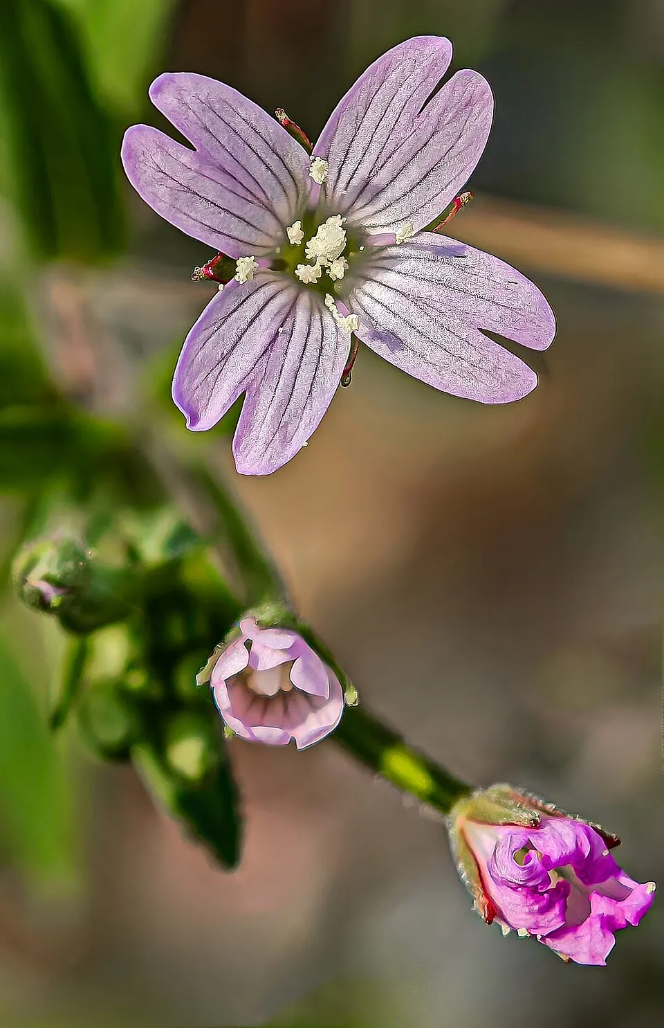 American willowherb
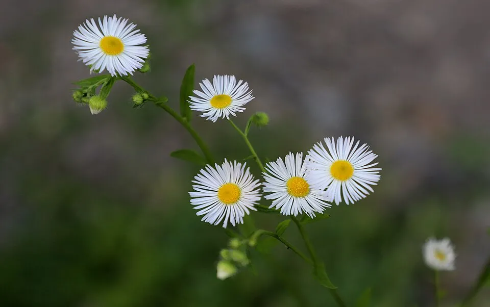 Eastern daisy fleabane
 Black locust
Photos: American willowherb © Didier Descouens · CC BY-SA 4.0; Eastern daisy fleabane © W. Bulach · CC BY-SA 4.0; Black locust © This Photo was taken by Wolfgang Moroder. Feel free to use my photos, but please mention me as the author and send me a message. This image is not in the public domain. Please respect the copyright protection. It may only be used according… · CC BY-SA 3.0
Sources: Global Forest Change (Hansen et al., University of Maryland, via Global Forest Watch, CC-BY 4.0); EFFIS, European Commission / Copernicus; NASA Black Marble 2016 (public domain); CORINE Land Cover 2018 (Copernicus) or MODIS.
CORINE Land Cover Change 1990–2018: generated using European Union's Copernicus Land Monitoring Service information (EEA), aggregated by Parkavela; DOI 10.2909/f30f1000-7cf8-43bb-872c-5eb093911b24.
Ecological status of water bodies: European Environment Agency, WISE – Water Framework Directive, 3rd river basin management plans (2022), CC BY 4.0. Official national classification, not comparable between countries.
Invasive alien species: Global Register of Introduced and Invasive Species (ISSG, CC BY 4.0); Union list, Regulation (EU) 1143/2014 (INBO, CC0); GBIF.org records (CC0 / CC BY 4.0), at least 2 per species.
Practical information
Cities and airport
- Angers
37 km as the crow flies - Tours
51 km as the crow flies - Airport: Tours Val de Loire (TUF)
54 km as the crow flies
Data © OpenStreetMap contributors (ODbL) · Wikidata (CC0)
Access and visiting
The nearest railway station is Les Rosiers-sur-Loire, about 14 km from the site boundary. Nearest towns of over 50,000 people, as the crow flies: Angers (37 km) and Tours (51 km). Nearest airport: Tours Val de Loire (TUF), about 54 km away. About 110,000 people live within 20 km of the site boundary, 28,000 of them within 10 km; some 120 people are estimated to live inside (GHSL estimate, 2020). This population has grown by about 6% since 2000. To plan a visit (access, opening periods, visitor rules), it is best to consult the official information from the managing body and the official website listed in this page's sources.
Source: OpenStreetMap (ODbL), Wikidata (CC0), October 2026.
When to visit
Best time to visit: from April to September, with average temperatures of 11 to 21 °C and moderate rainfall. Day length ranges from about 8 h 28 min in December to 15 h 56 min in June. Wildlife records published on GBIF peak for birds (July) and plants (October). These peaks also reflect when observers are most active.
Source: Copernicus ERA5-Land (C3S), monthly averages 1996–2025 at the representative point, temperatures adjusted for elevation.
Contains modified Copernicus Climate Change Service information 2026. Neither the European Commission nor ECMWF is responsible for any use that may be made of the Copernicus information or data it contains.
Wildlife records calendar
JFMAMJJASOND
Birds
Plants
Monthly records published on GBIF (CC-BY), relative to the busiest month; also reflects observer activity.
Gallery
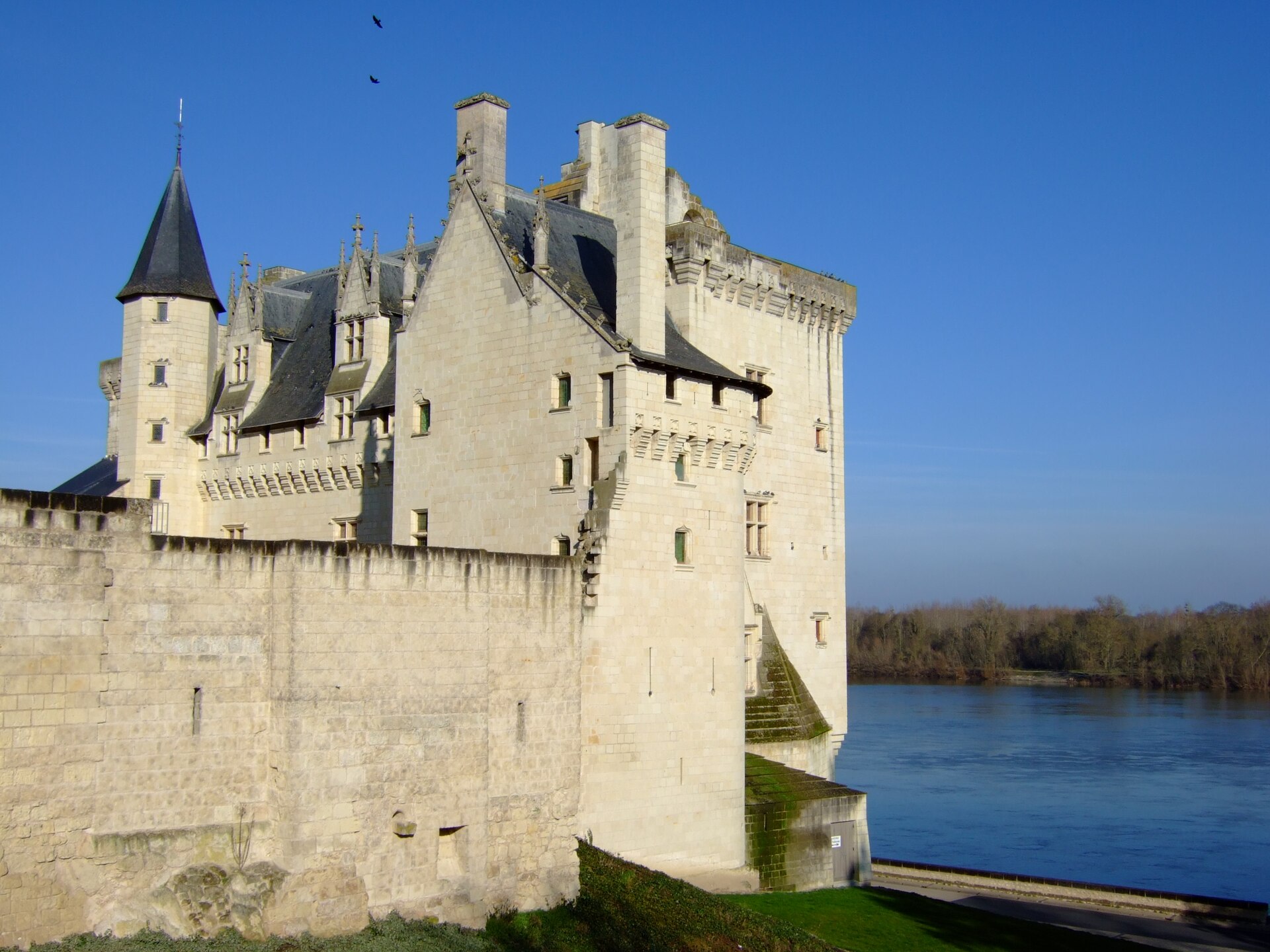
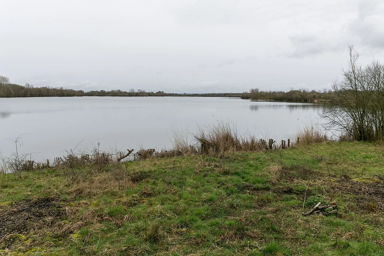
© Berrucomons · CC BY-SA 3.0
Sources and licences
- OpenStreetMap: relation 18936935
References
- cds.climate.copernicus.eu: climate · CC-BY-4.0
- registry.opendata.aws: elevation of the reference point, detailed relief · PD
- land.copernicus.eu: land cover, land cover change, sea share · COPERNICUS
- doi.org: population around the site · CC-BY-4.0
- openstreetmap.org: official name, access and peaks, places to see, trail difficulty · ODbL-1.0
- eea.europa.eu: bathing water quality, ecological status of waters · CC-BY-4.0
- en.eurovelo.com: EuroVelo cycle routes · ODbL-1.0
- cycling.waymarkedtrails.org: cycle routes · ODbL-1.0
- opentopodata.org: elevations · PD
- forest-fire.emergency.copernicus.eu: wildfires · COPERNICUS
- globalforestwatch.org: tree cover loss · CC-BY-4.0
- gbif.org: seasonality of sightings, invasive alien species, observed species · CC-BY-4.0
- infoterre.brgm.fr: geology · LO-2.0
- pop.culture.gouv.fr: protected heritage · LO-2.0
- hydrosheds.org: lakes · CC-BY-4.0
- earthobservatory.nasa.gov: night light · PD
- nsidc.org: snow cover · PD
- wikidata.org: nearby cities and airport, access and peaks, lake depths, places to see · CC0-1.0
Data © OpenStreetMap contributors (ODbL), Wikidata (CC0) and the sources cited.